TBD Billie Helmer Road, Deerton, MI 49822
- Added:
- Aug 8, 2025
- Days on Market:
- 333
- Last Refresh:
- Jul 6 at 9:06 am
Property Features for TBD Billie Helmer Road
General Information
- Property type
- Land
- Property subtype
- Other
- Standard status
- Active
- Lot size
- 240.00 Acres
Listing agent Timothy Keohane (906) 228-9312
Listing office Great Lakes & Land Real Estate 856 West Washington, Marquette, MI (906) 228-9312
Listing date Aug 8, 2025
Copyright © 2026 My State MLS. All rights reserved. All information provided by the listing agent/broker is deemed reliable but is not guaranteed and should be independently verified.
HighLights
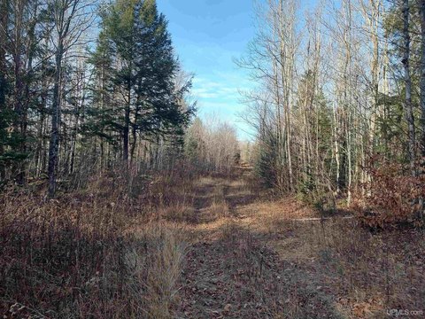
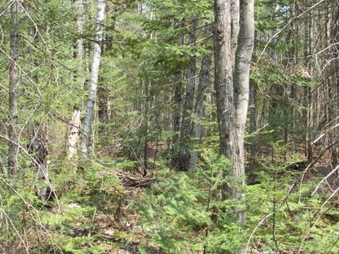
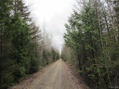
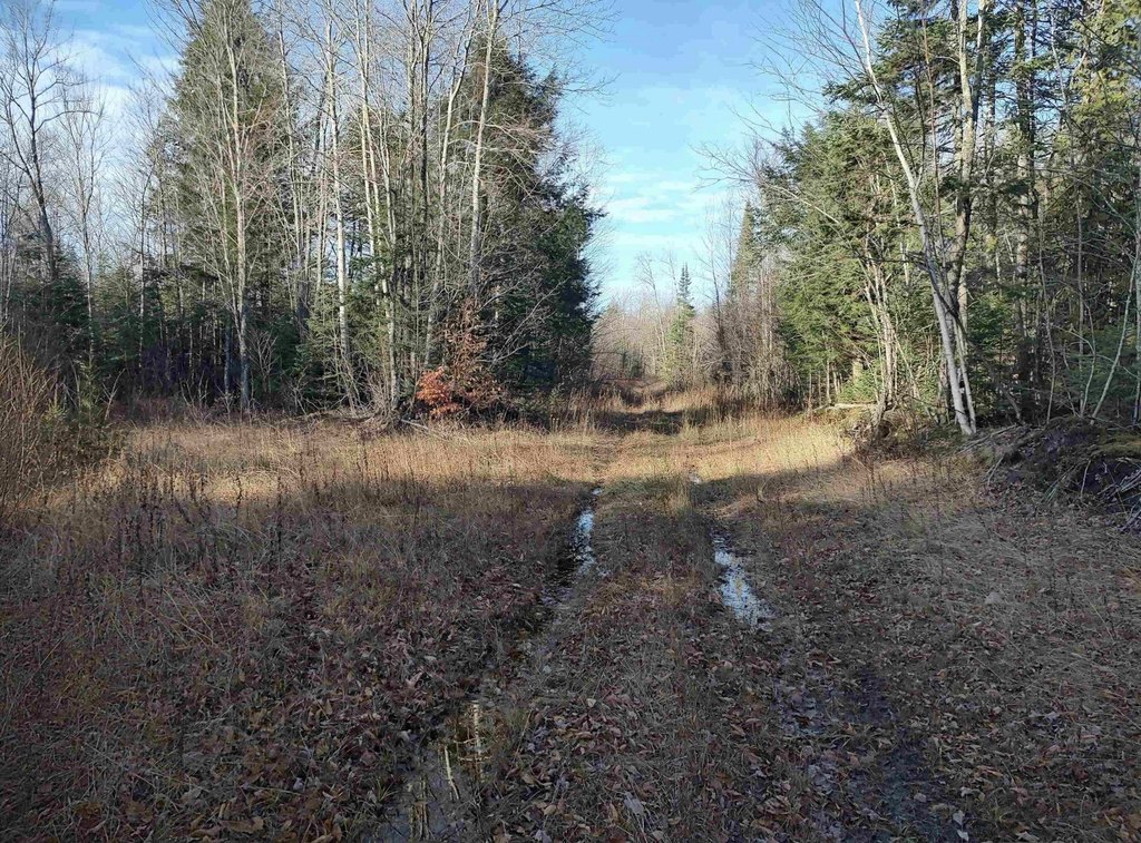
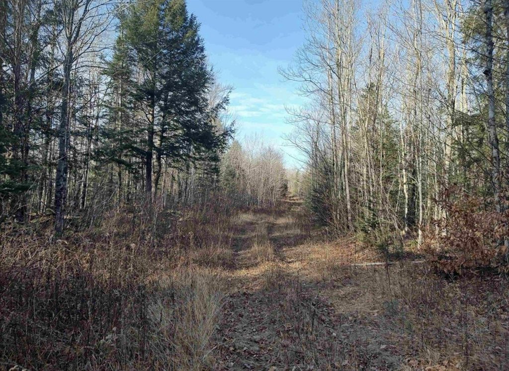
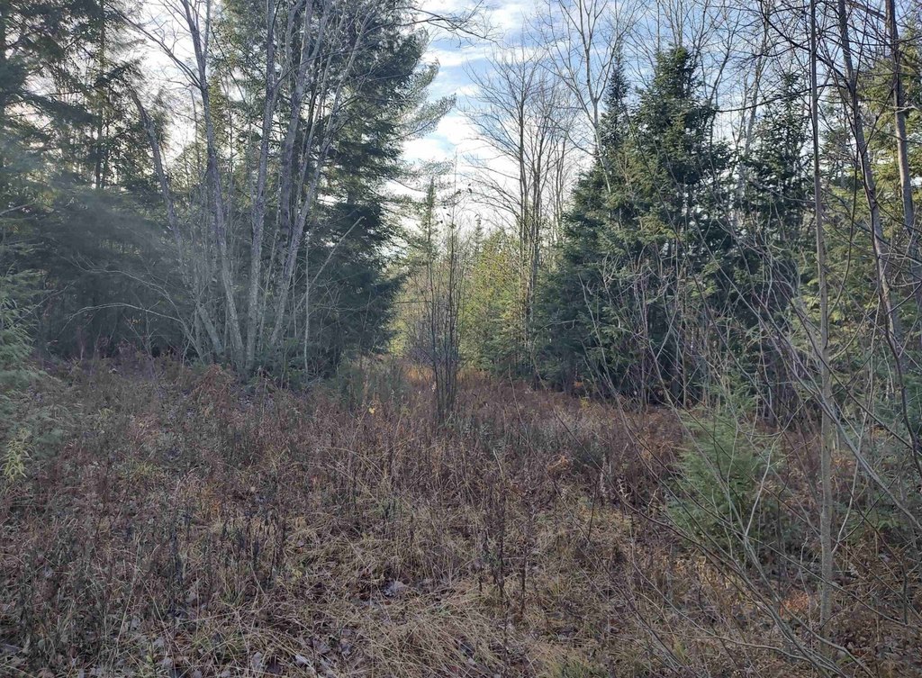
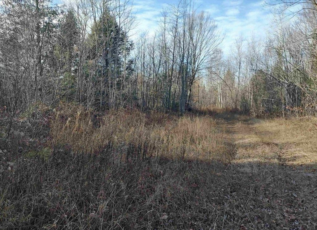
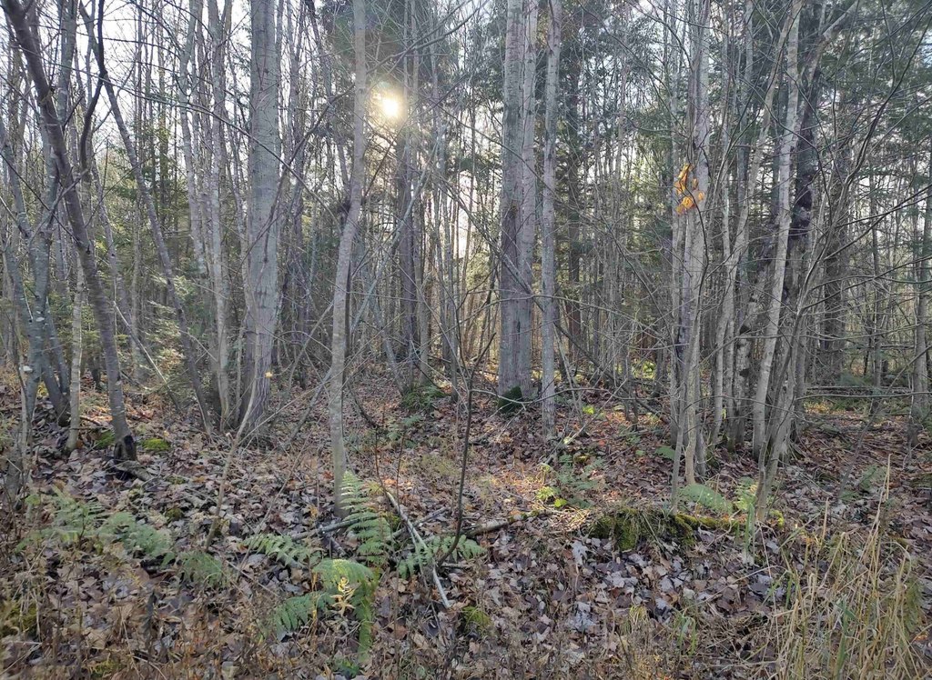
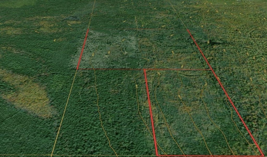
- 240‑acre wooded recreational parcel in Onota Township along the southern shore of Lake Superior
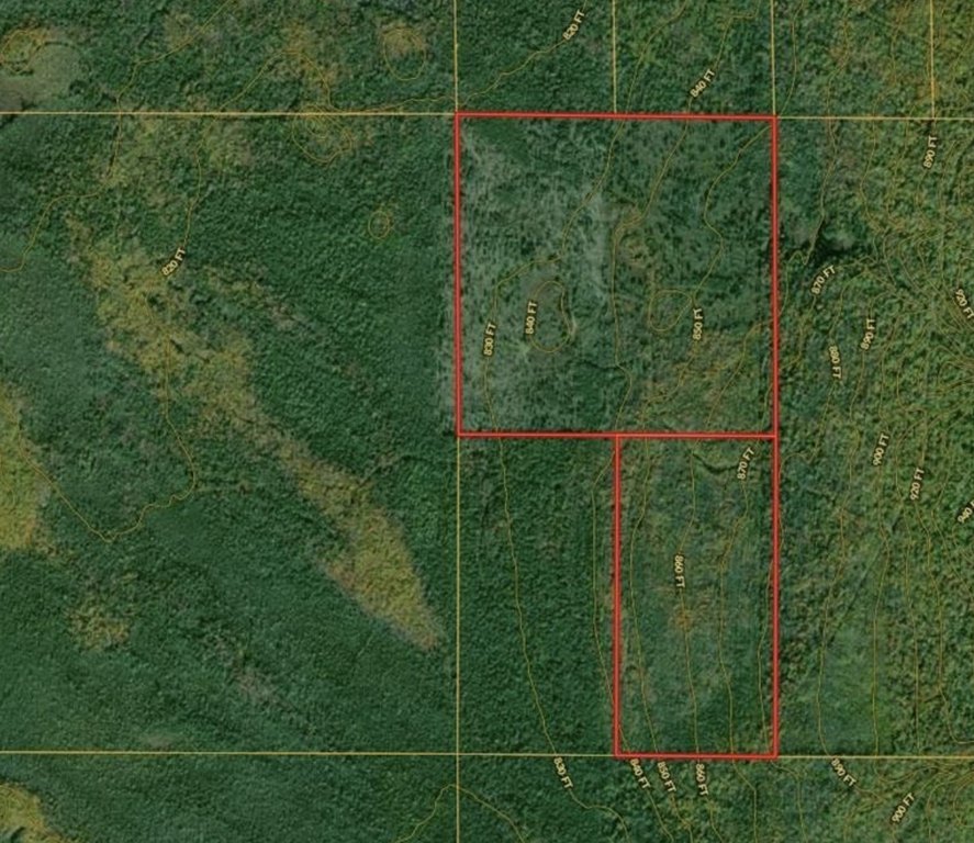
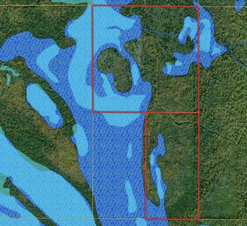
- Two‑parcel layout: 12 acres woody wetlands + 68 acres mixed forest (southern parcel)
- Northern parcel includes 80 acres mixed forest, shrubs and grassland, plus 80 acres woody wetlands
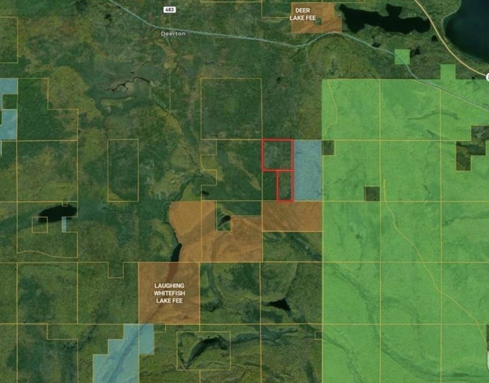
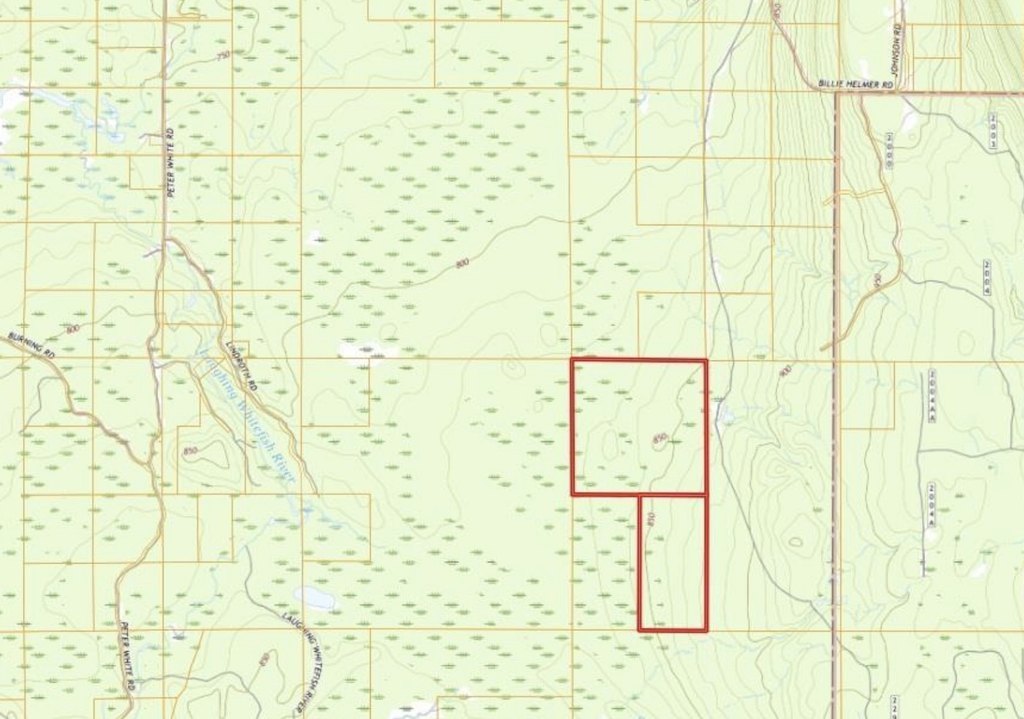
- Eastern property edge borders the Jim Wells Forest, a 440‑acre tract managed by Michigan State University
- Access nearby from M‑94 to the 1,728‑acre Laughing Whitefish Lake Preserve between the Laughing Whitefish Falls Scenic Area and Hiawatha National Forest
- Recreation area near Lakenen Land Sculpture Park, Eben Ice Caves Trailhead, Kitch‑iti‑kipi, and Pictured Rocks National Lakeshore
Overview
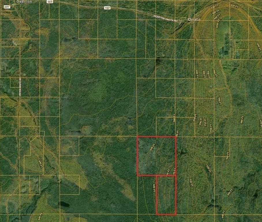
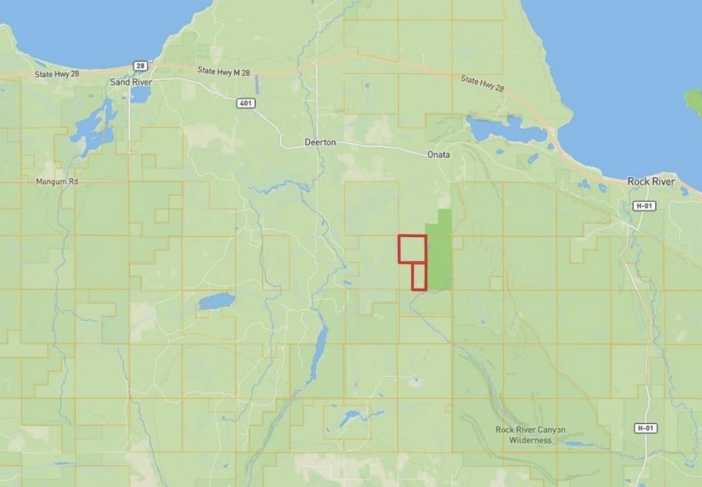
The property is located in Onota Township along the southern shore of Lake Superior. Access is described from M-94, which runs a few miles south of the property, and the area is noted for outdoor recreation and nearby points of interest. The eastern edge of the property borders the Jim Wells Forest, a 440-acre tract managed by Michigan State University.
This configuration supports a range of outdoor-oriented uses where woodland and wetland cover are part of the experience. Buyers and operators looking for larger tracts for passive recreation, conservation-style enjoyment, or land-based recreation planning may find the mix of mixed forest, grassland, shrubs, and woody wetlands especially relevant. No structures or developed facilities are described in the provided materials.
Current Use by Public Records
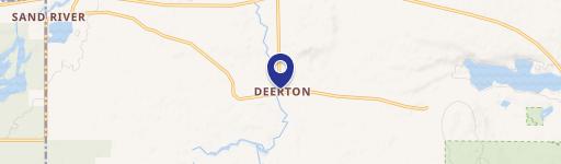
Map
- City
- Deerton
- County
- Alger
- State
- Michigan
- Longitude
- -87.003599
- Latitude
- 46.441464