Mining Land with Patented
For Sale
$1,825,000
E Bald Mountain Road, Stockton, UT 84071
LAND - Stockton, UT
Property Size317,988 SF
Lot Size730.00 Acres
Price / SF$5.74
Days on Market691
Property Features for E Bald Mountain Road
General Information
Property type
Land
Property subtype
Other
Zoning
Open space
Zoning description
Zone County, Special Purpose, Horse Property
Lot features
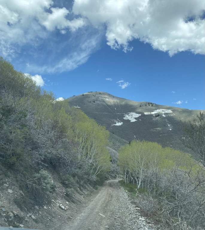
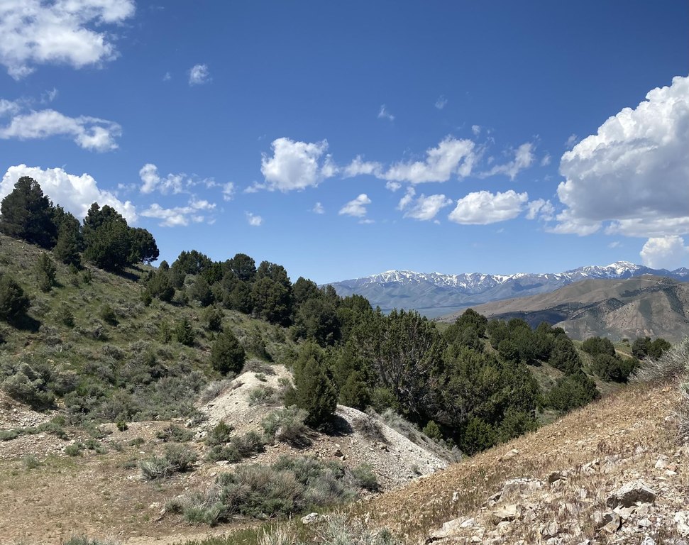
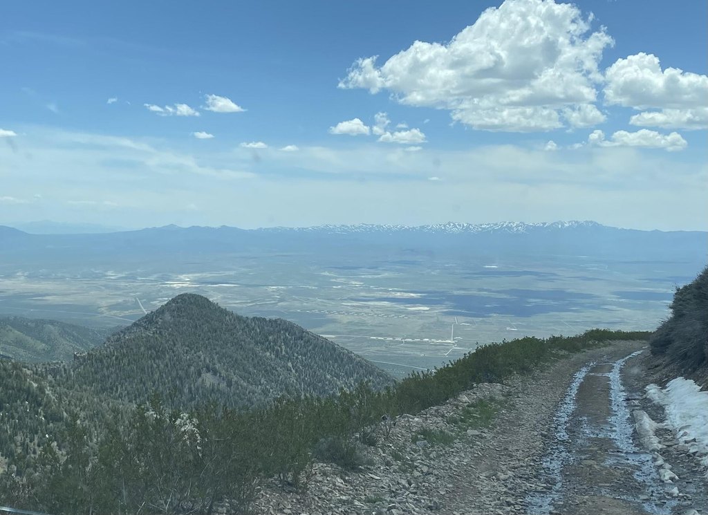
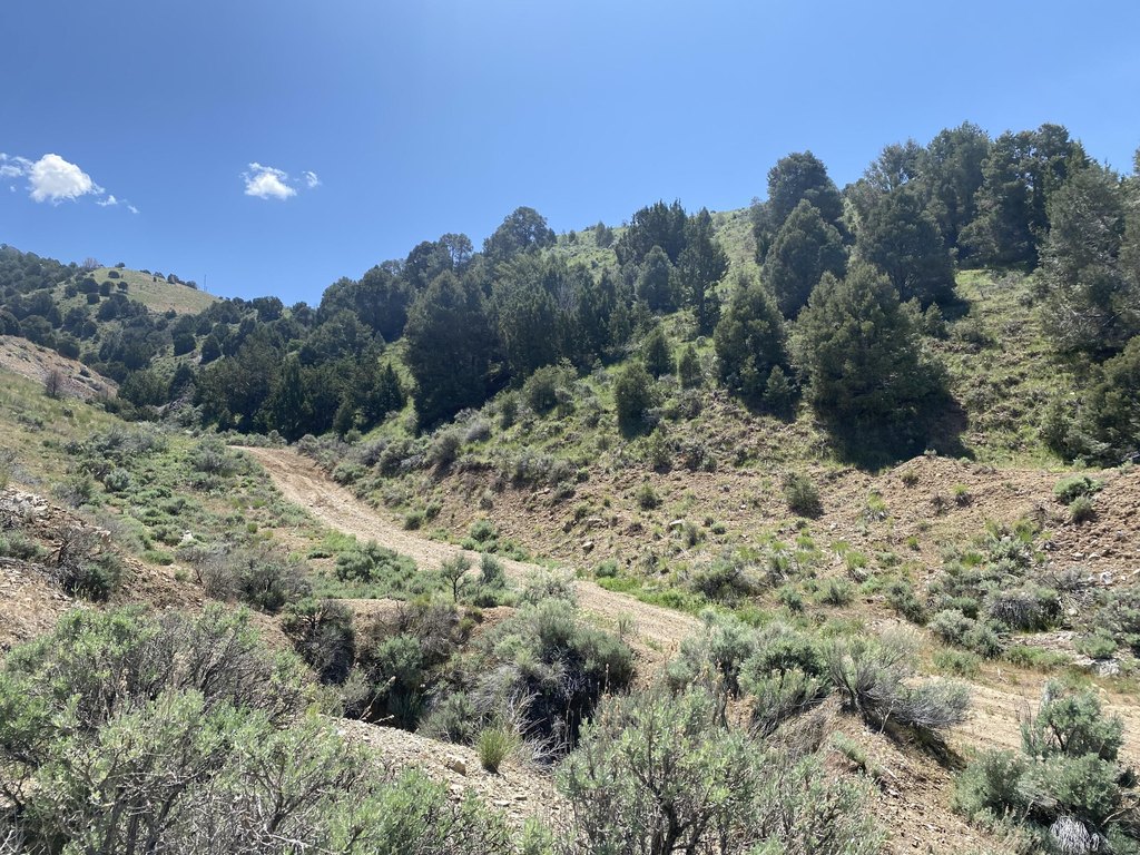
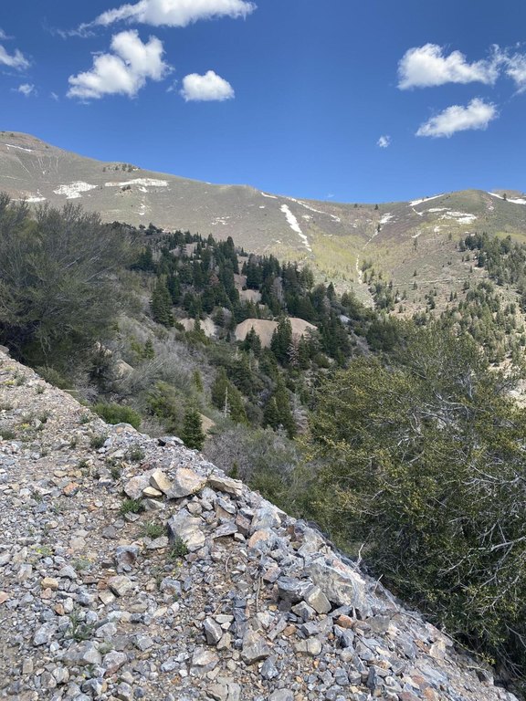
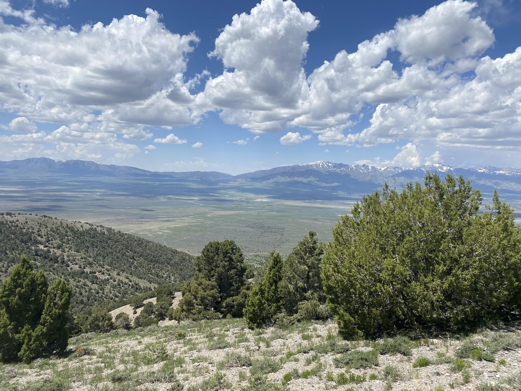
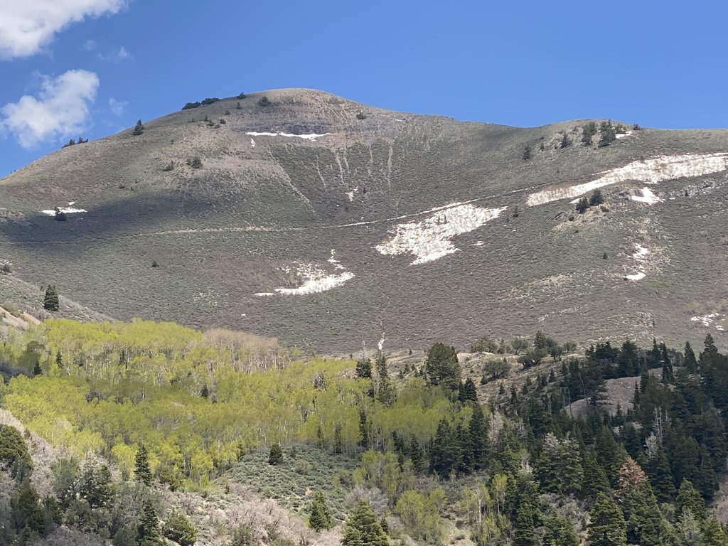
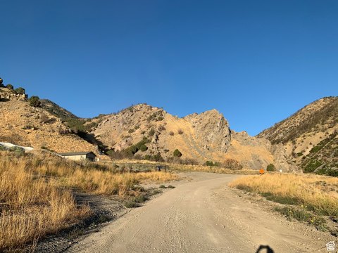
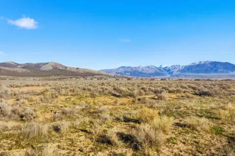
Access, Rural, Soil Gravel, Soil Rocky, Terrain Slope, Terrain Steep, View Mountains
Elementary school
.
Middle school
.
High school
.
Directions
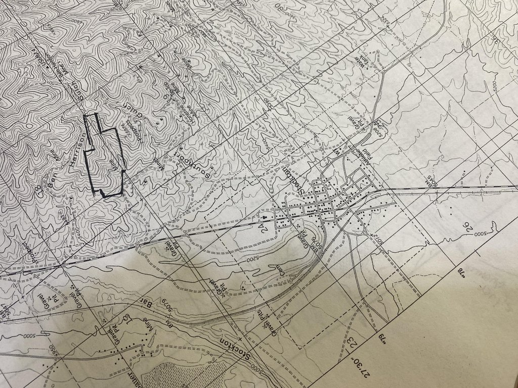
From Stockton Sinclair turn E Silver Ave, stay right at fork toward Jacob City, E Bald Mountain Rd , call for directions on other property
Subdivision
Outside Area
Standard status
Active
APN
98-000-0-0998, 98-000-0-0847, 98-000-0-1001
Size
317,988 SF
Lot size
730.00 Acres
Listing Agency:
COLDWELL BANKER PREMIER REALTY
(435) 628-6700
Listed By:
BILLIE A PALMER
(435) 232-6012
Added: Oct 1, 2024
Changed: Jun 9
Last Checked: Aug 22 at 1:06AM
MLS# 24-255019
Copyright © 2026 Washington County Board of Realtors. All rights reserved. All information provided by the listing agent/broker is deemed reliable but is not guaranteed and should be independently verified.
Investment Insights
Based on property information with market context.
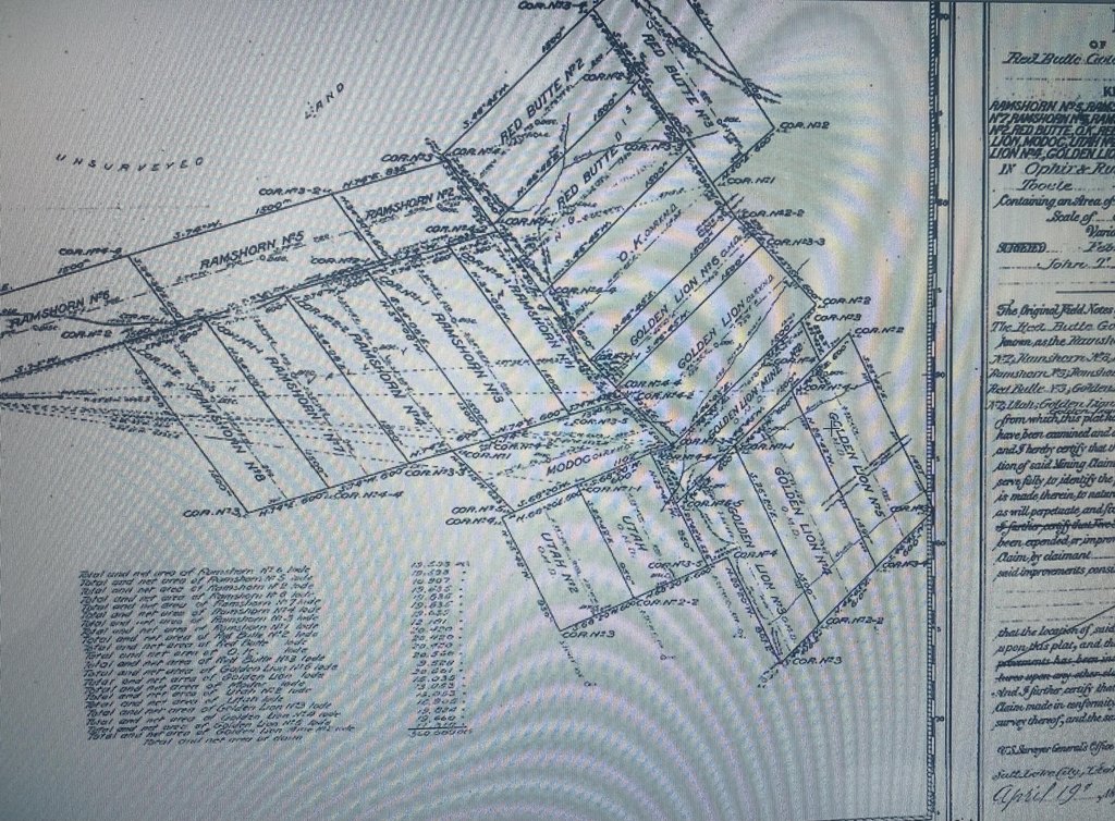
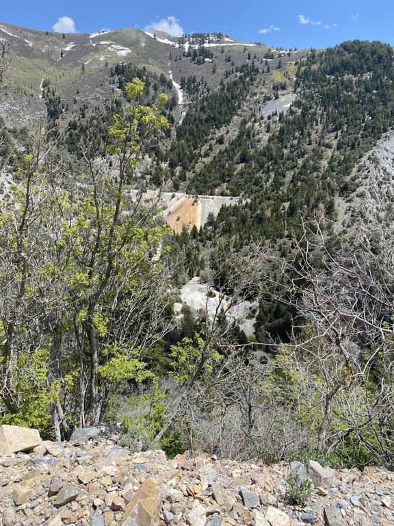
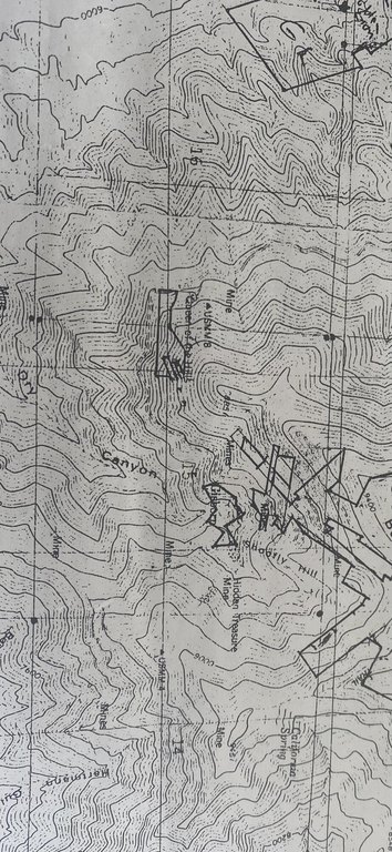
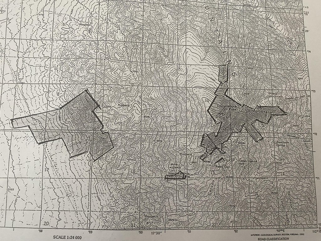
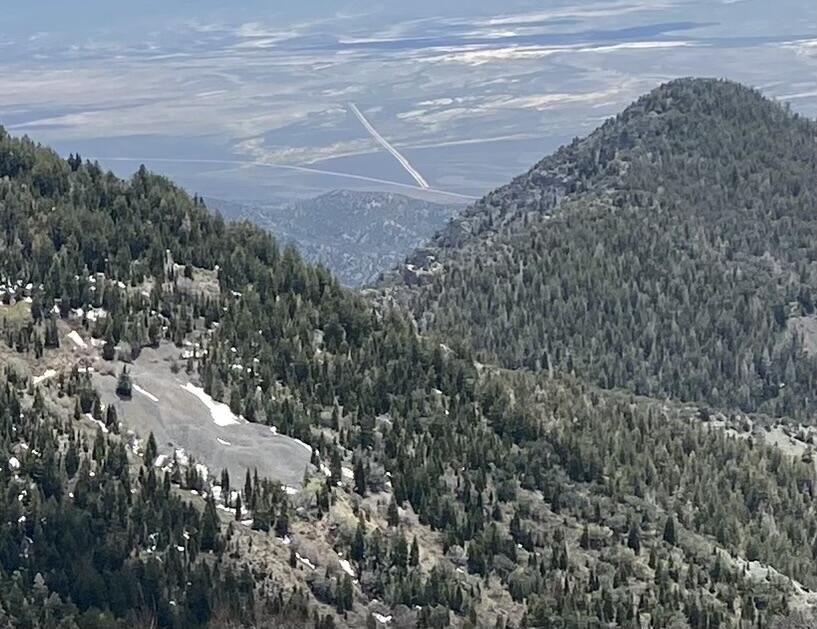
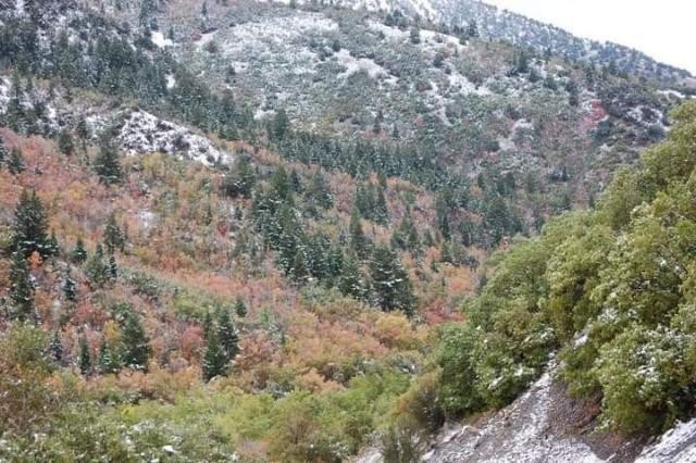
The property is a large mining land holding totaling 730 acres, offered with mineral rights in the Oquirrh Mountain Range. The listing also notes 53 patented mining claims, covering both surface rights and subsurface rights, associated with the Rush Valley and Ophir mining district. The lower portion is described as having potential for use as a gravel pit.
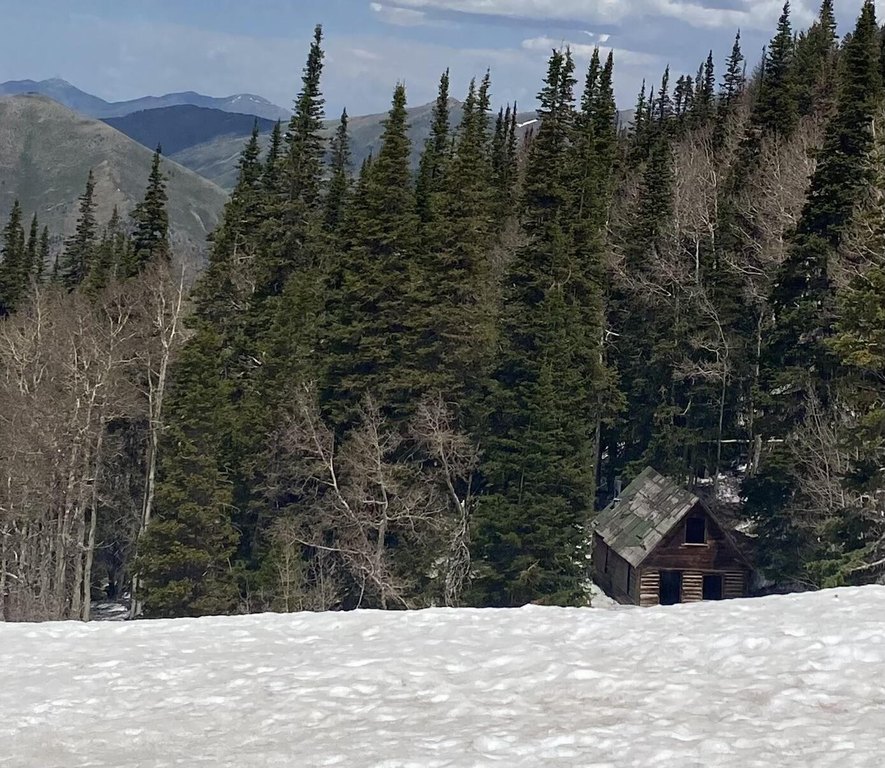
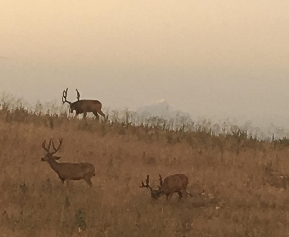
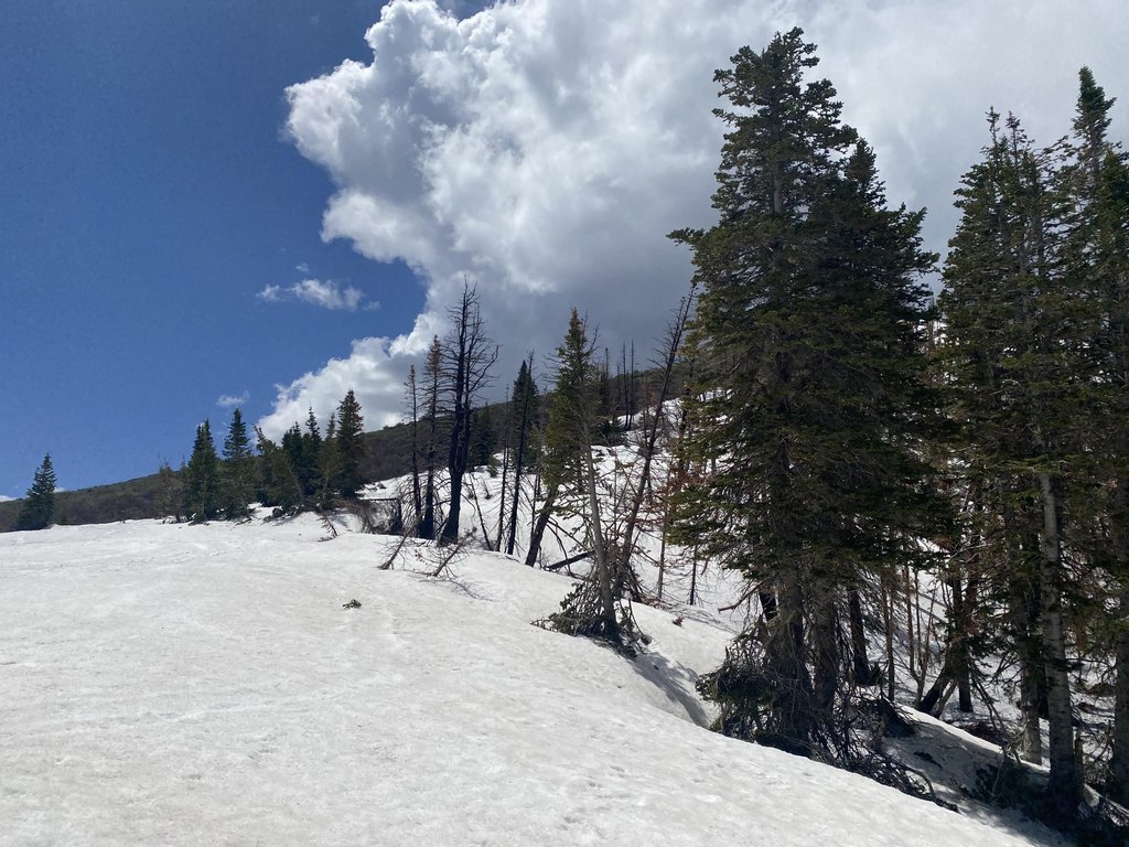
According to the remarks, the land is surrounded by BLM, providing a privately owned setting for outdoor activities such as ATV trails, hiking, horseback riding, hunting, and grazing cattle. The upper parcel is described as being attached to Jacob City, a ghost mining town. The offering is presented as three parcels, and the tax ID(s) can be purchased separately.
This asset may fit buyers looking for off-the-grid recreational use alongside mineral- and extraction-related considerations, with the lower land positioned for gravel pit activity as described. The open space zoning designation supports maintaining the land in a non-developed capacity, while the combination of patented claims and mineral rights may be a meaningful factor for those evaluating mining-related ownership. Please call for directions to view the property.
According to the remarks, the land is surrounded by BLM, providing a privately owned setting for outdoor activities such as ATV trails, hiking, horseback riding, hunting, and grazing cattle. The upper parcel is described as being attached to Jacob City, a ghost mining town. The offering is presented as three parcels, and the tax ID(s) can be purchased separately.
This asset may fit buyers looking for off-the-grid recreational use alongside mineral- and extraction-related considerations, with the lower land positioned for gravel pit activity as described. The open space zoning designation supports maintaining the land in a non-developed capacity, while the combination of patented claims and mineral rights may be a meaningful factor for those evaluating mining-related ownership. Please call for directions to view the property.
Key Highlights
- 730‑acre mining land in the Oquirrh Mountain Range with mineral rights included
- Includes 53 patented mining claims with both surface and subsurface rights
- Rush Valley and Ophir mining district noted for gold, silver, copper, lead & zinc
Property Analytics
Current Use
Location Intelligence
Trade Area within ½ mile
1
Businesses Nearby
Explore this area
Business Placement
Demographics for 84071, UT
1,946
Population
640
Households
3
Avg Household Size
33
Median Age
16%
College-Educated
97%
High-School Grad
121.6 sq mi
ZIP Area
16
Density / Sq Mi
$132,256
Median Household Income
$53,312
Median Earnings
$758
Median Rent
$453,200
Median Home Value
Market
Vacancy Rate% for Industrial in West region

Questions? Ask Rey
Realmo’s AI knows this listing — price, zoning, demand, history. Ask anything.

Frequently Asked Questions
What type of property is this?
Mining land & claim - Open space zoned acreage with mineral rights and 53 patented mining claims, plus lower land suited for gravel pit use.
Where is this mining land & claim located?
The property is located at E Bald Mountain Road Stockton, UT.
What is the asking price?
The asking price for this property is $1,825,000.
What are key features of this property?
This property features: 730‑acre mining land in the Oquirrh Mountain Range with mineral rights included; Includes 53 patented mining claims with both surface and subsurface rights; Rush Valley and Ophir mining district noted for gold, silver, copper, lead & zinc


