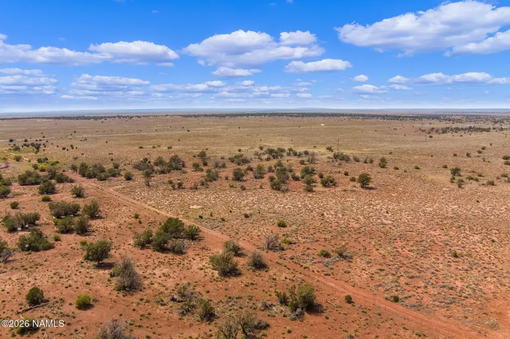
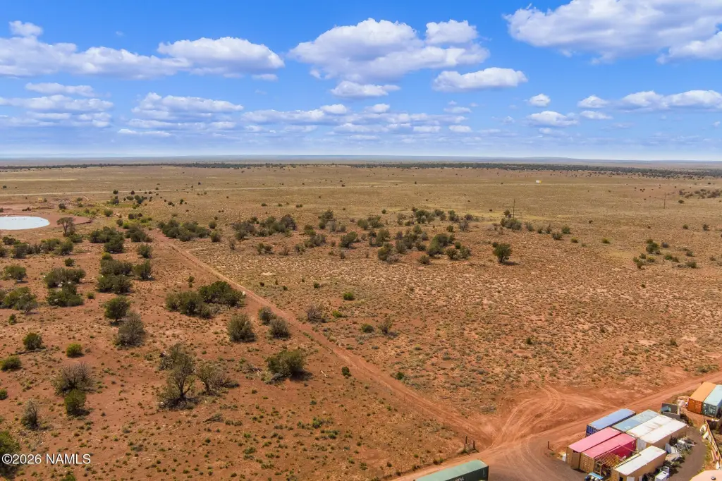
Ste Rte 64 41.89 Acres, Williams, AZ 86046


- Added:
- Jun 19, 2026
- Days on Market:
- 2
- Last Refresh:
- Jun 20 at 6:06 pm
Property Features for Ste Rte 64 41.89 Acres
General Information
- Property type
- Land
- Property subtype
- Other
- Zoning
- G, MHP
- Standard status
- Active
- APN
- 50334006a
- Lot size
- 41.89 Acres
Taxes and HOA fees
- Tax Year
- 2026
- Tax Description
- SUBDIVISION: GRAND CANYON RANCHES LOT 6 EXCEPT POR DESC AS FLLWS: WLY 200' OF ELY 750' OF NLY 350' OF LOT 6; BK11/P99 QU
- Tax Annual Amount
- 326
Utilities
- Utilities
- Electricity Available

Listing agent Nichole A Katz License #SA685167000 (480) 792-9500
Listing office RE/MAX Fine Properties 21020 N Pima Rd, Flagstaff, AZ (480) 792-9500
Listing date Jun 19, 2026
Copyright © 2026 Northern Arizona Multiple Listing Service. All rights reserved. All information provided by the listing agent/broker is deemed reliable but is not guaranteed and should be independently verified.
HighLights
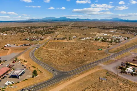
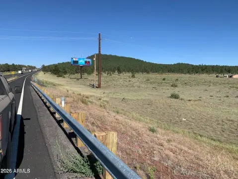
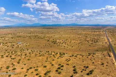
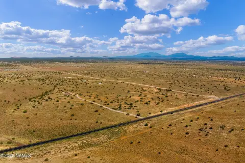
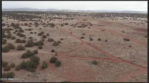
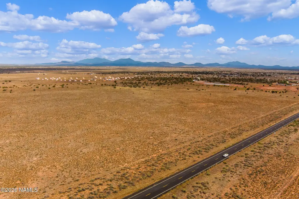
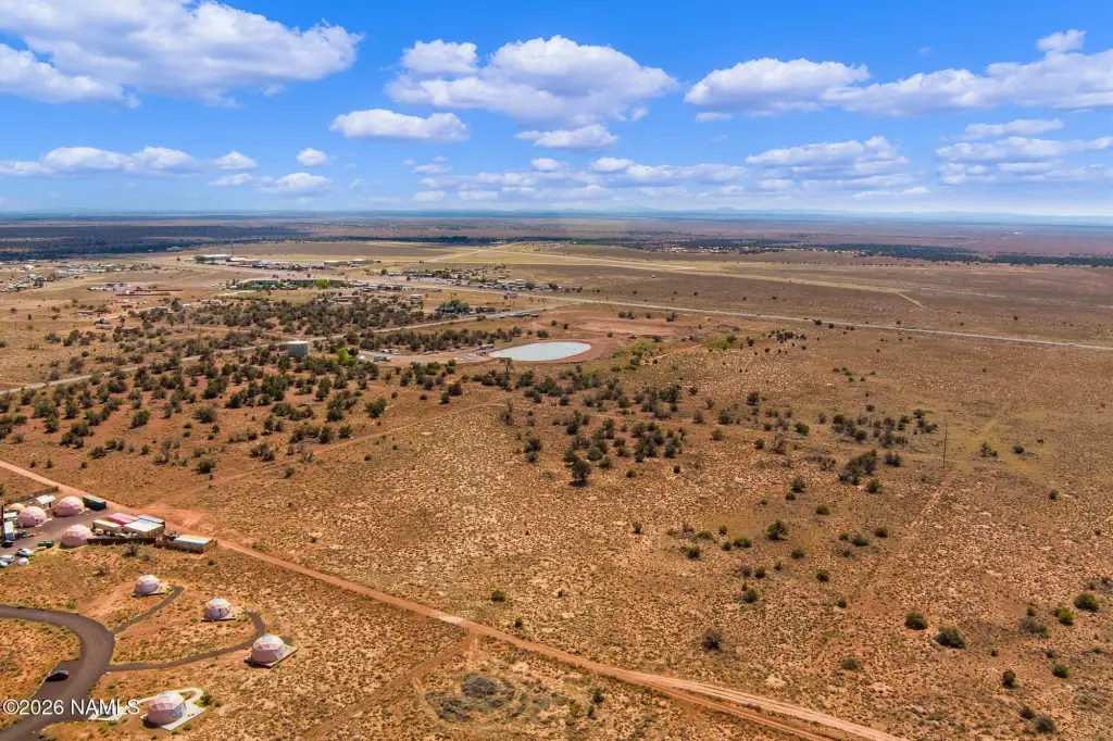
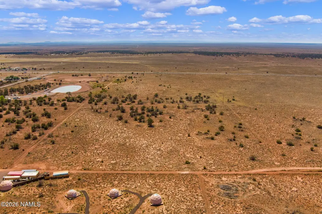
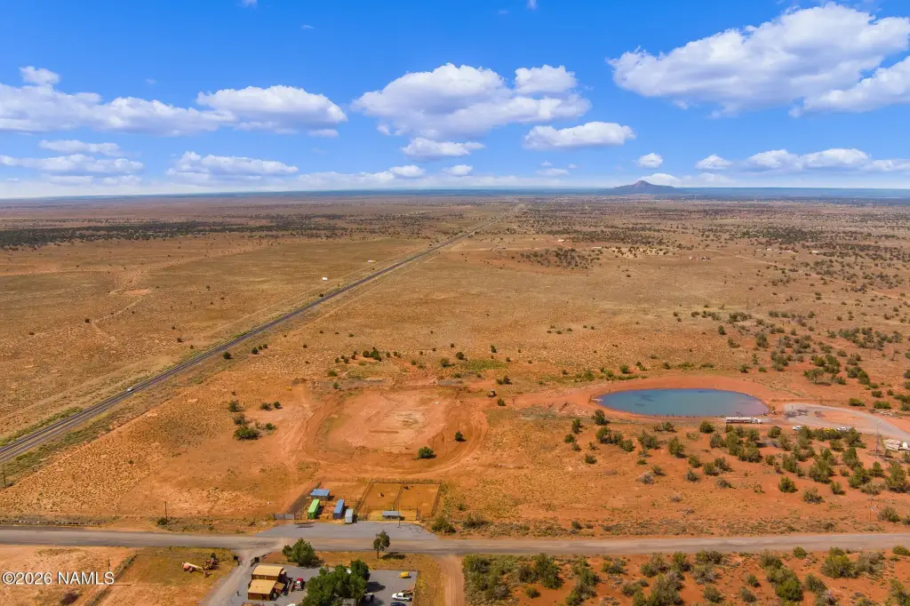
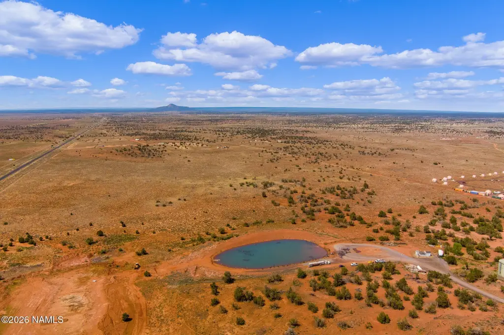
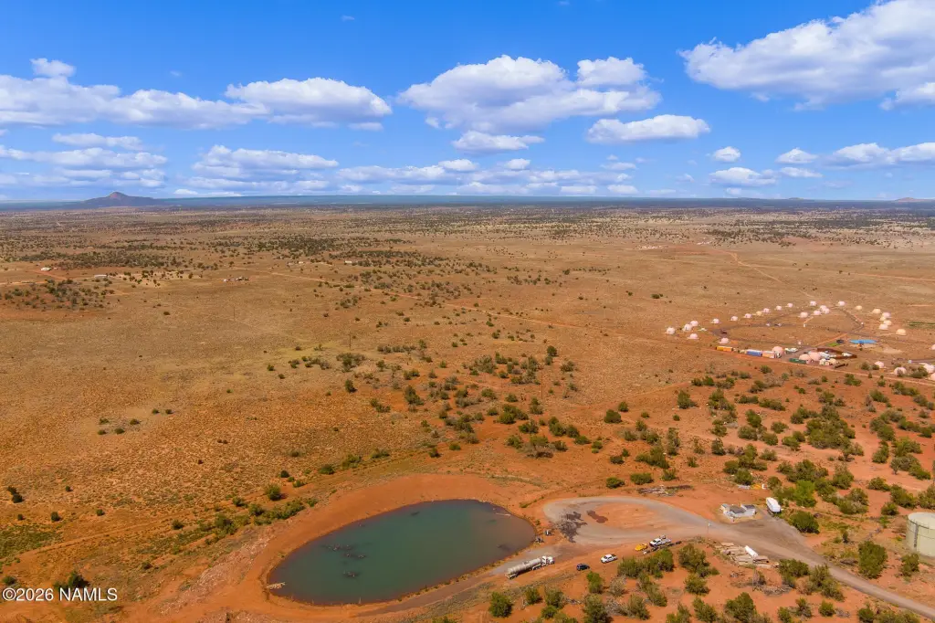
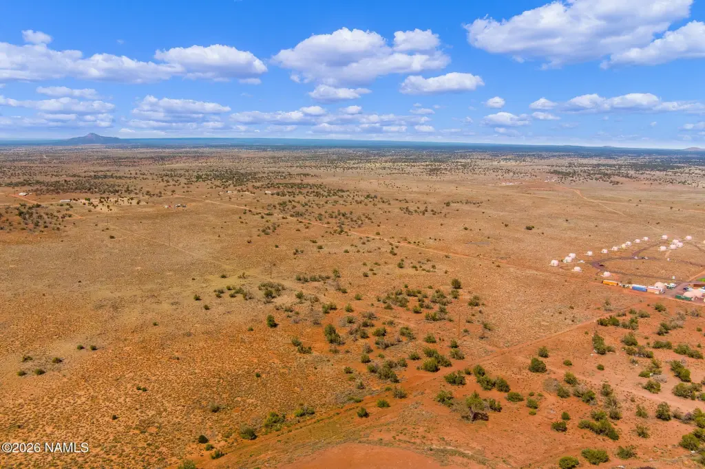
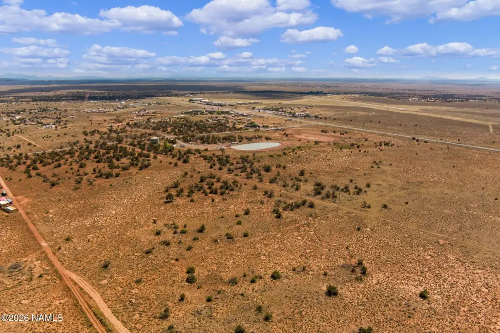
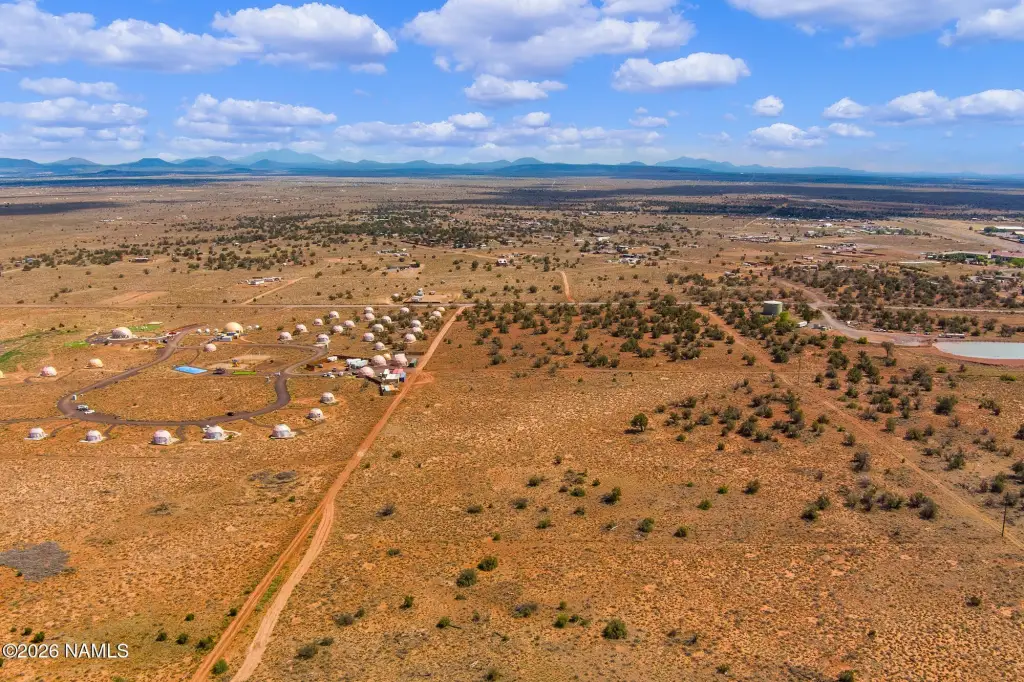
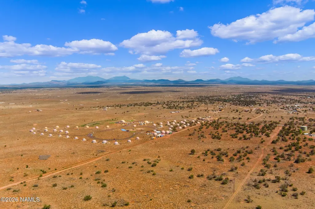
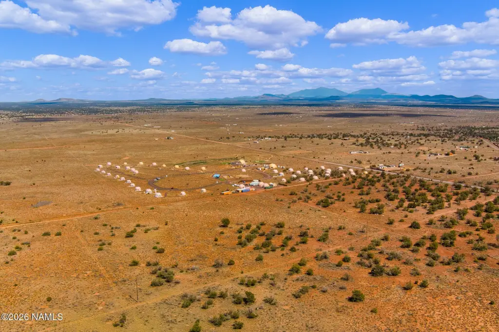
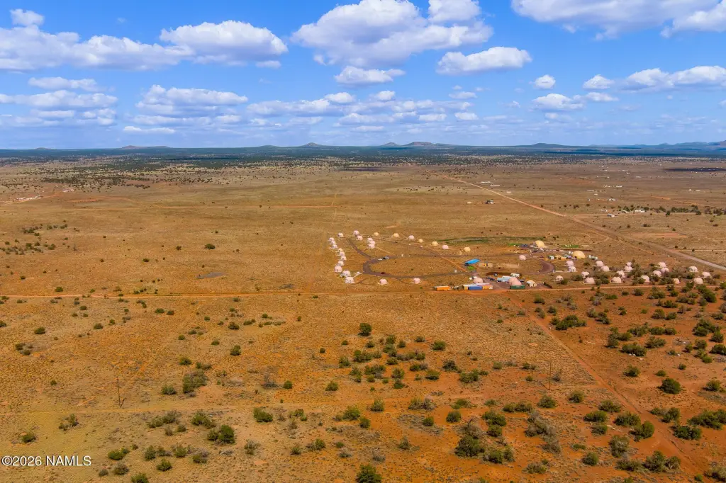
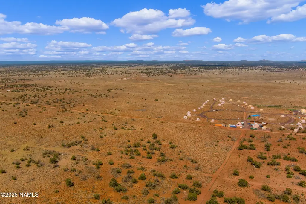
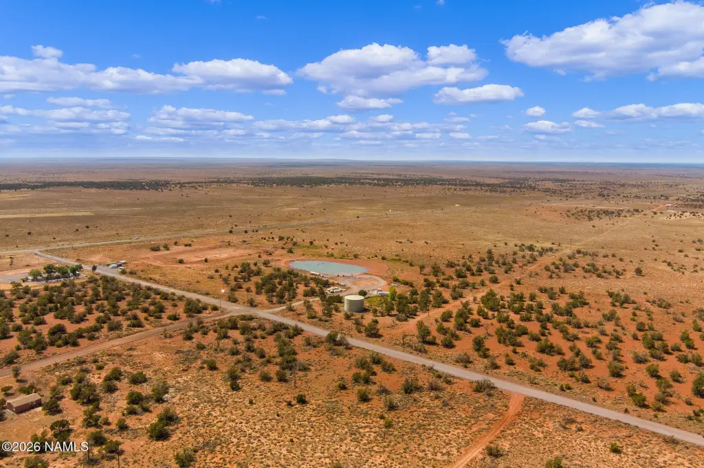
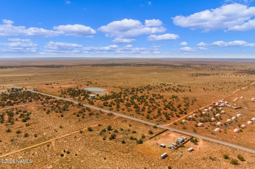
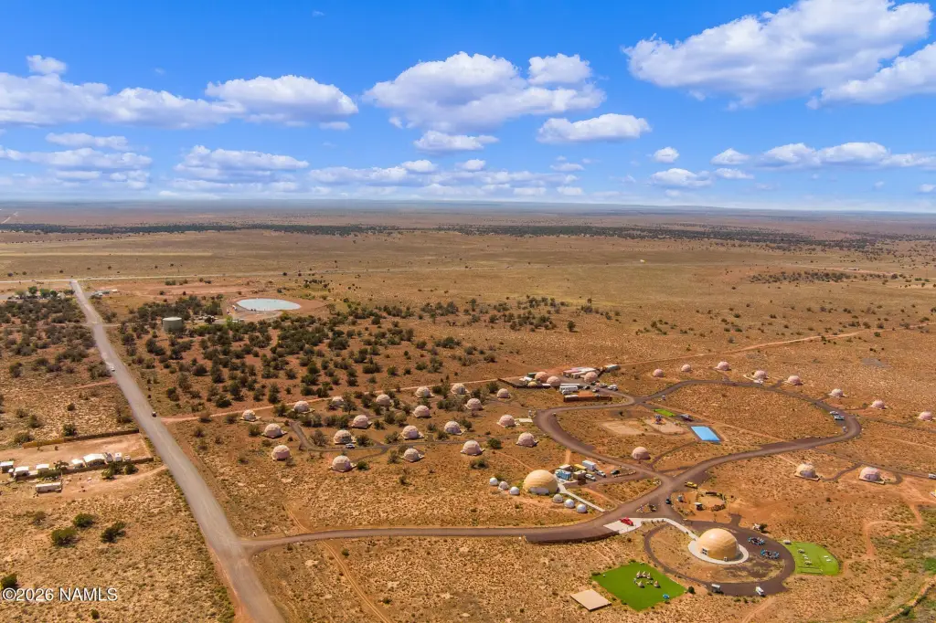
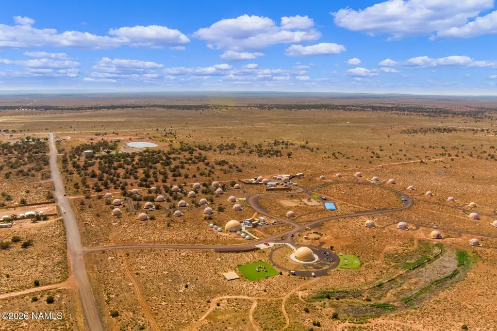
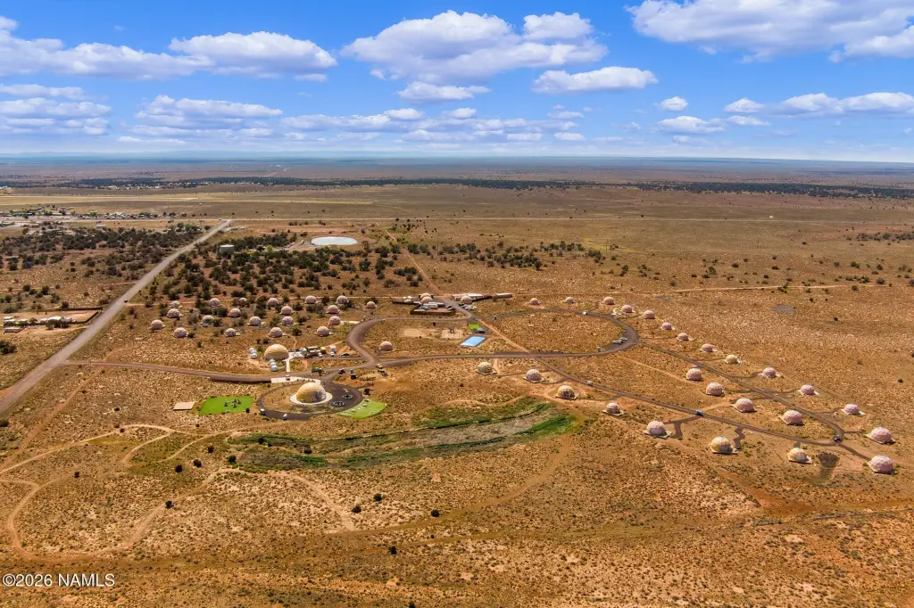
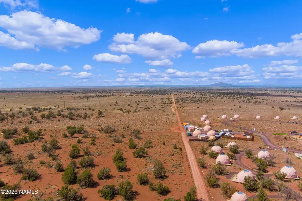
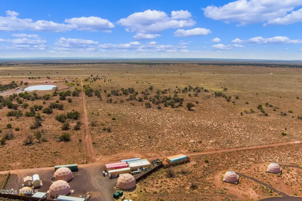
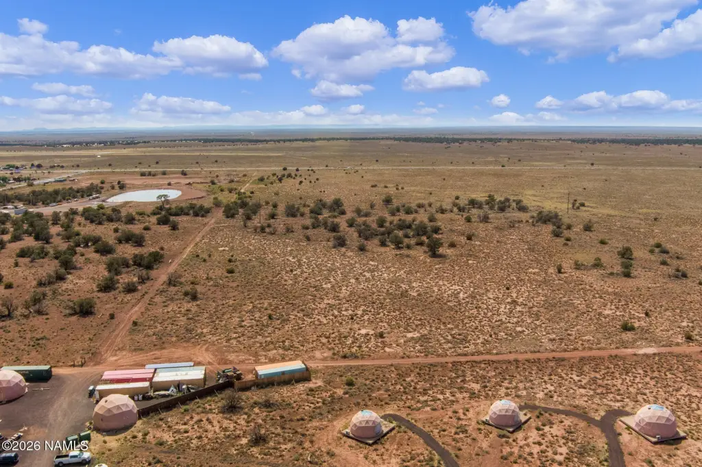
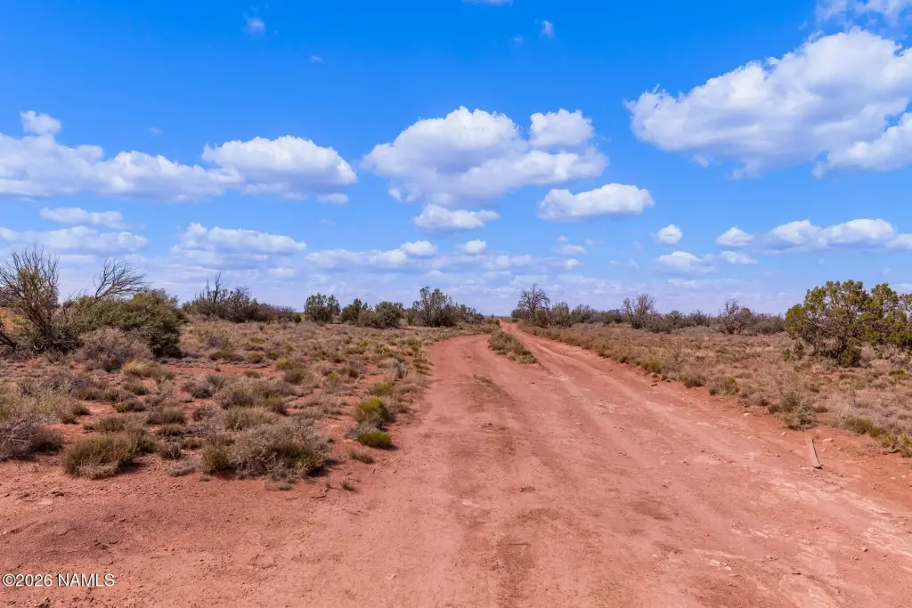
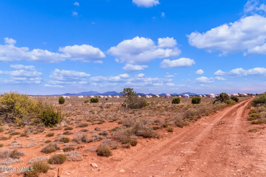
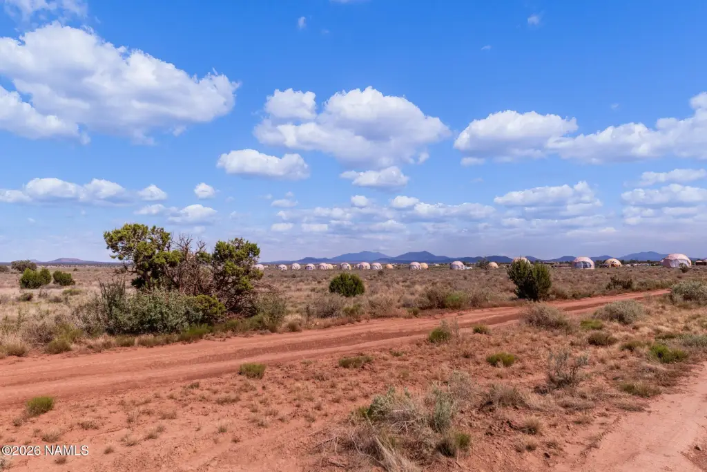
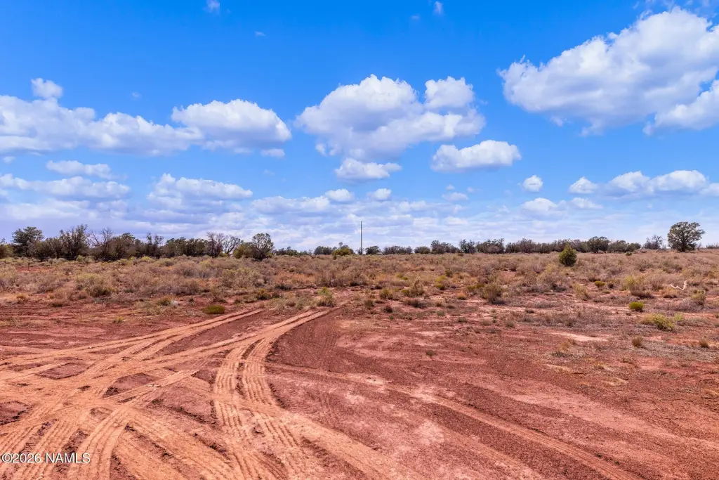
- 41.89 acres of land directly off State Route 64, offered as two parcels: APN 50334006A (40.28 acres) and APN 50334006B (1.61 acres)
- APN 50334006A is zoned Manufactured Home Park (MHP), plus APN 50334006B is zoned G
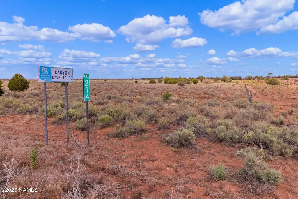
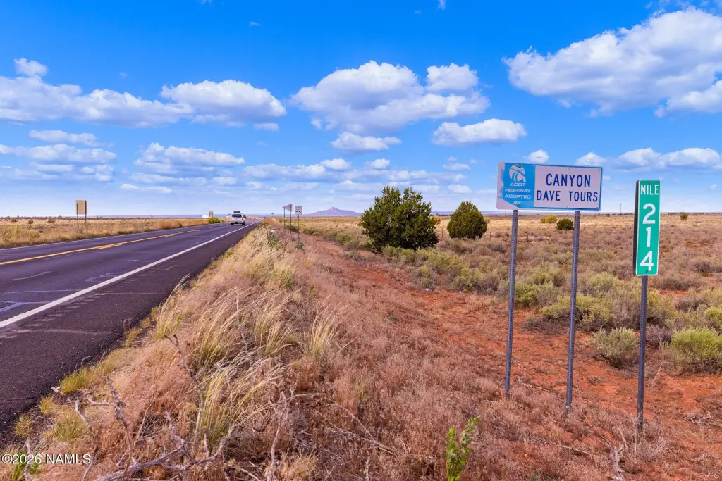
- Unobstructed frontage on State Route 64 for visibility and signage opportunities
- Electricity is available on the property
- Grand Canyon is about 25 miles away
- Located in a designated Opportunity Zone
Overview
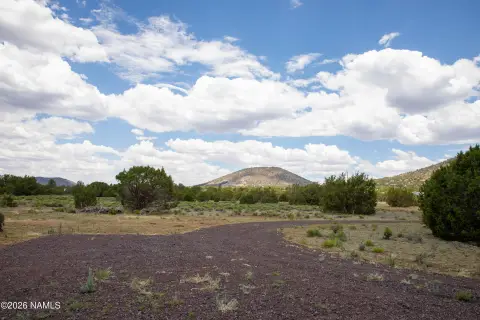
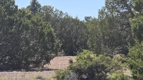
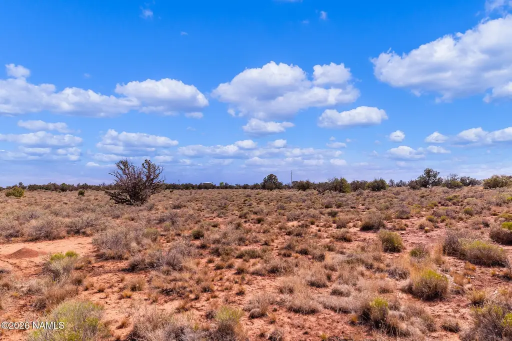
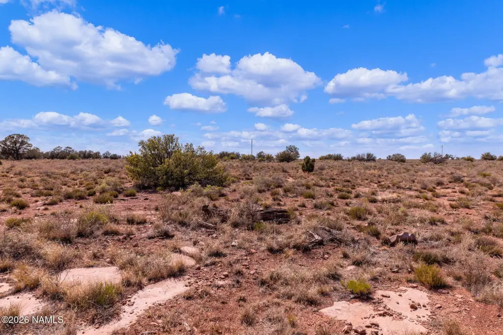
Located in Williams, Arizona (Coconino County), the site is positioned on a main travel route associated with visitors en route to the Grand Canyon, with the Grand Canyon identified as approximately 25 miles away. The remarks also note convenient access to nearby communities including Williams and Flagstaff. The property is identified as being in an Opportunity Zone.
The combination of MHP zoning on the larger parcel and the additional G-zoned acreage is designed to support a range of residential and visitor-oriented development concepts, including manufactured home park use, RV park development, or a tiny home village. For operators and developers, the site’s location and frontage are relevant for planning projects that rely on steady roadside exposure, while the dual-parcel structure may provide flexibility when assembling a cohesive site plan across zoning categories.
Current Use by Public Records
Map
- City
- Williams
- County
- Coconino
- State
- Arizona
- Longitude
- -112.136867
- Latitude
- 35.660563