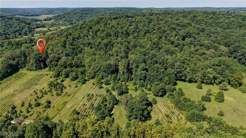
Wooded Agricultural
For Sale
Contact for pricing
State Route 520, Killbuck, OH 44637
Land, Killbuck, OH
Property SizeContact for details
Lot Size12.50 Acres
Days on Market13
Property Features for State Route 520
General Information
Property type
Land
Property subtype
Other
Elementary school district
West Holmes LSD - 3802
Middle school district
West Holmes LSD - 3802
High school district
West Holmes LSD - 3802
Directions
10432 Twp. Rd. 65, Killbuck, OH 44637: From Millersburg, head south on US-62 for 3 miles, then turn right to stay on 62 for another 5 miles. Turn right onto SR-520; in 1 mile, turn right onto TR 64, then take the first right onto TR 65 to the property location. Watch for signs.
Special listing conditions
Standard, Auction
Standard status
Active
APN
08-00618.000
Lot size
12.50 Acres
Taxes and HOA fees
Tax Year
2025
Tax Description
R8 T8 S9 70.986A & S10 81.039A=152.025A TOTAL K-09 & K-14
Legal Description
R8 T8 S9 70.986A & S10 81.039A=152.025A TOTAL K-09 & K-14
Listing Agency:
Kiko
(330) 453-9187
Listed By:
Peter R Kiko · License #353035
(330) 705-5996
Added: Sep 25
Changed: Sep 29
Last Checked: Oct 7 at 1:06AM
MLS# 5249152
Copyright © 2026 MLS Now. All rights reserved. All information provided by the listing agent/broker is deemed reliable but is not guaranteed and should be independently verified.
Investment Insights
Based on property information with market context.
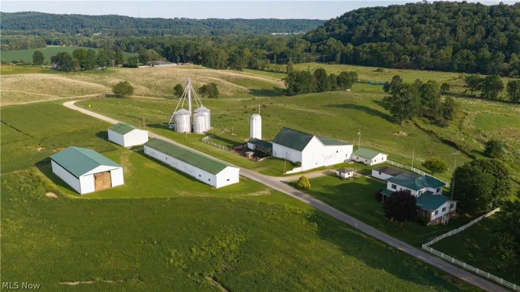
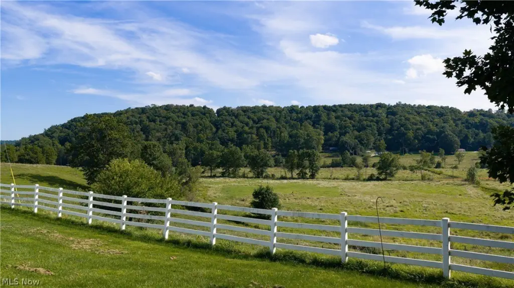
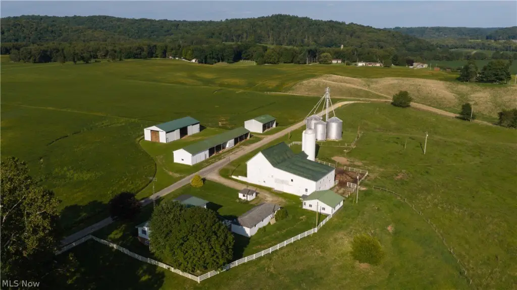
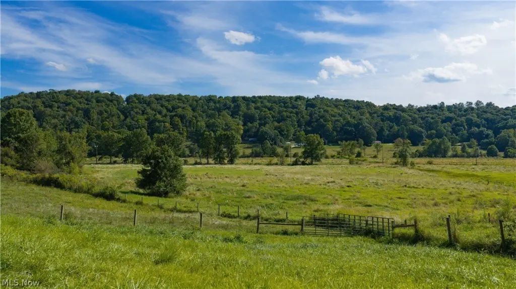
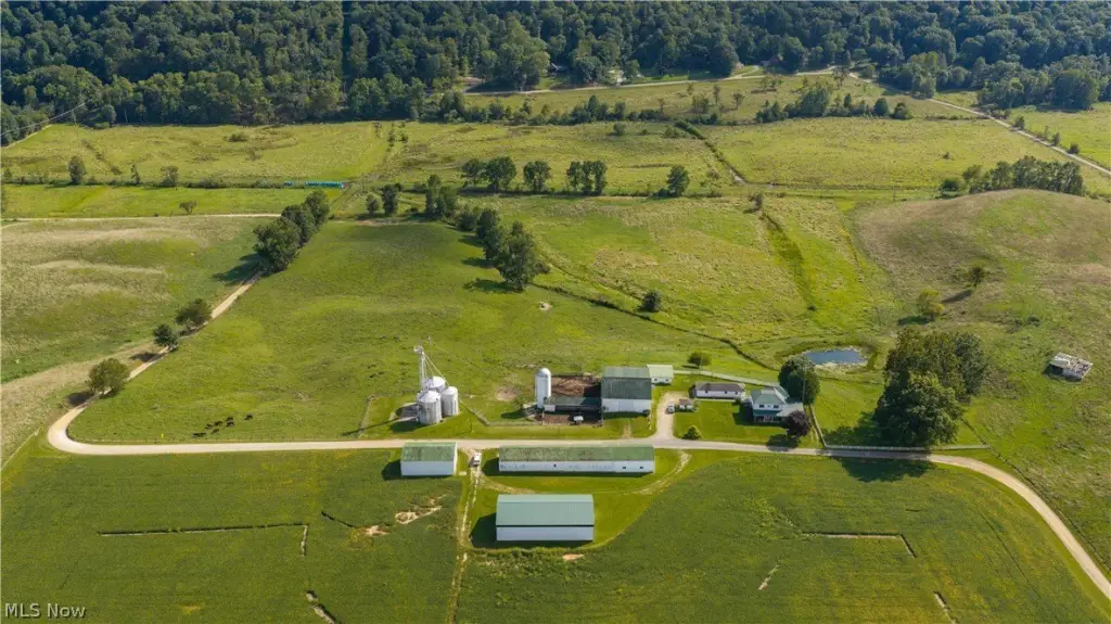
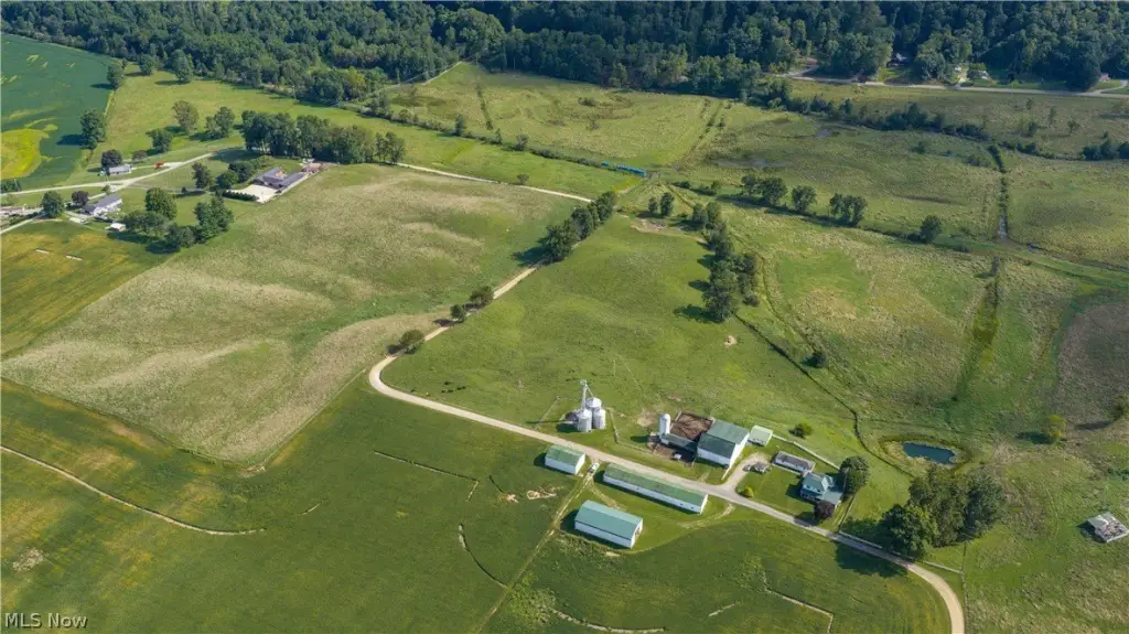
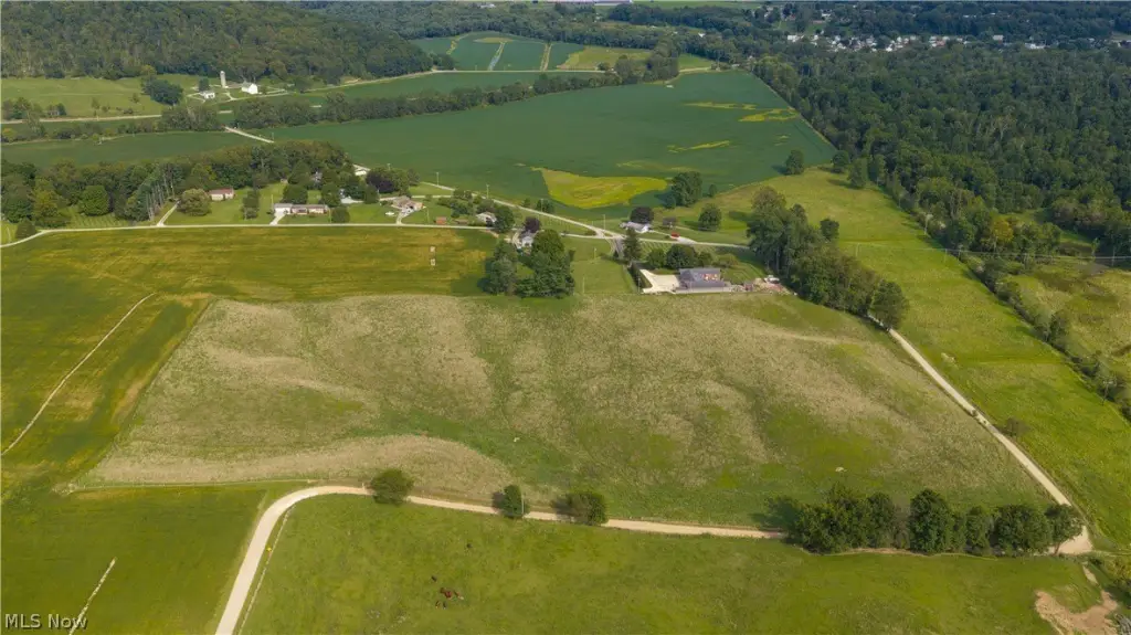
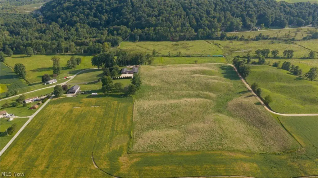
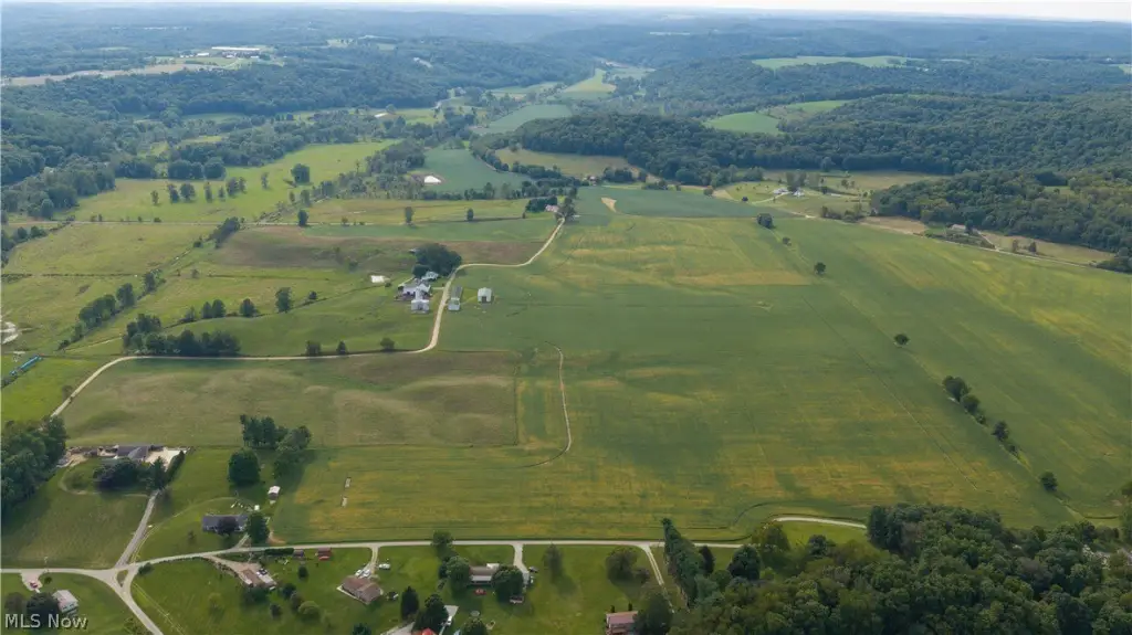
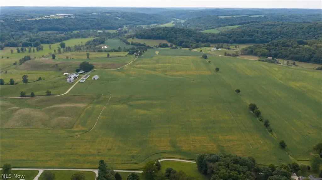
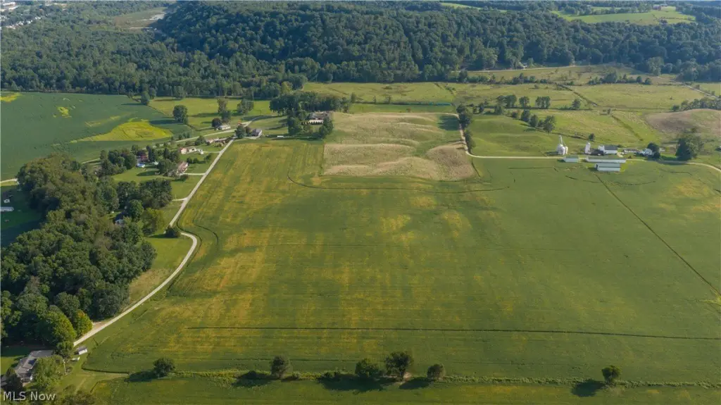
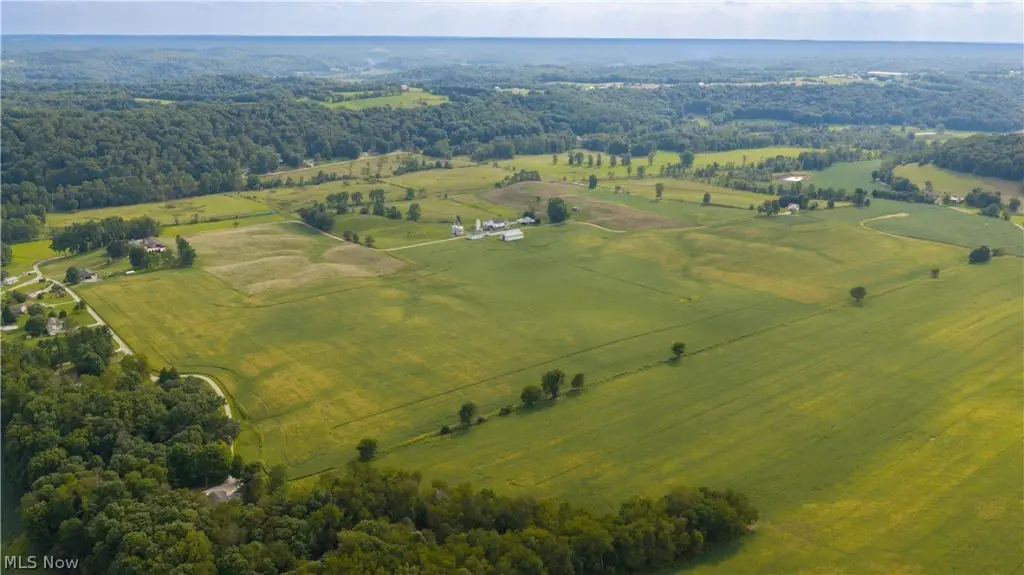
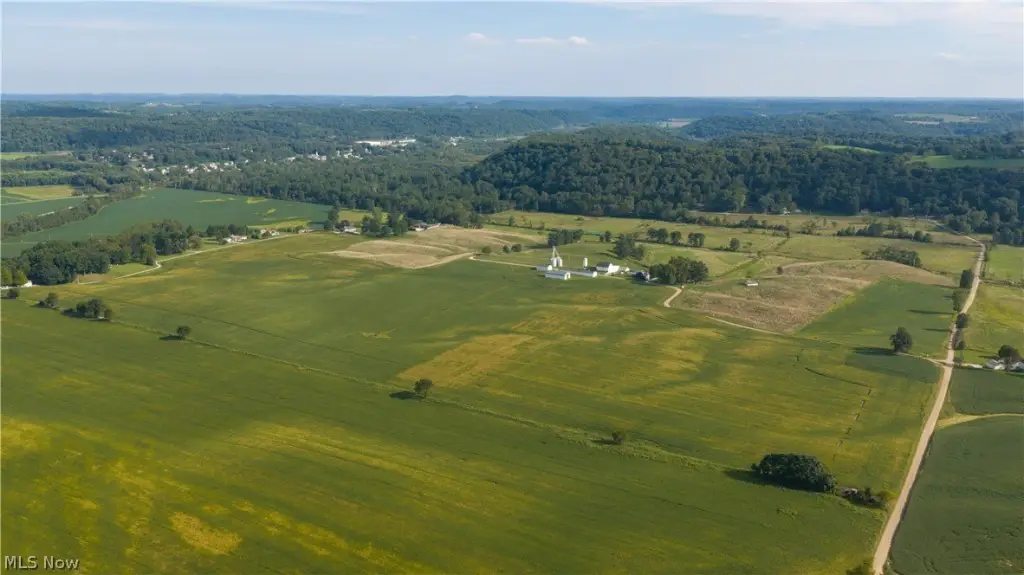
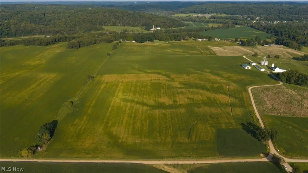
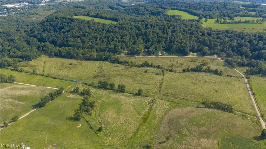
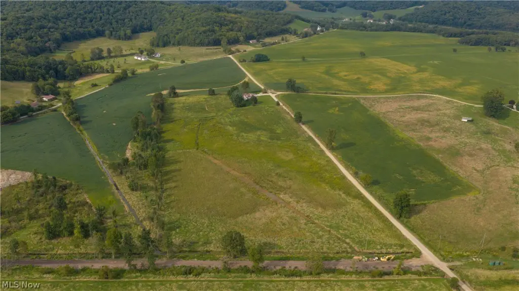
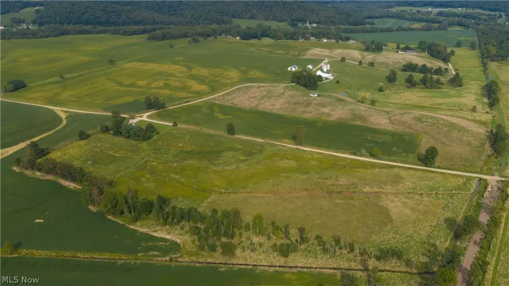
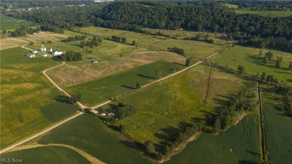
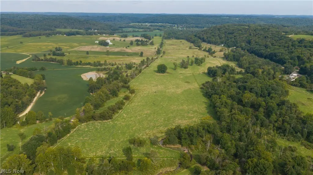
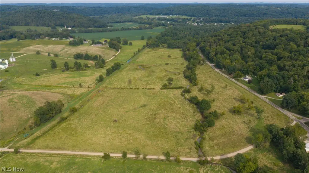
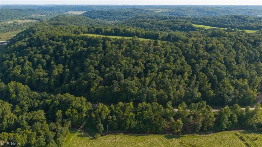
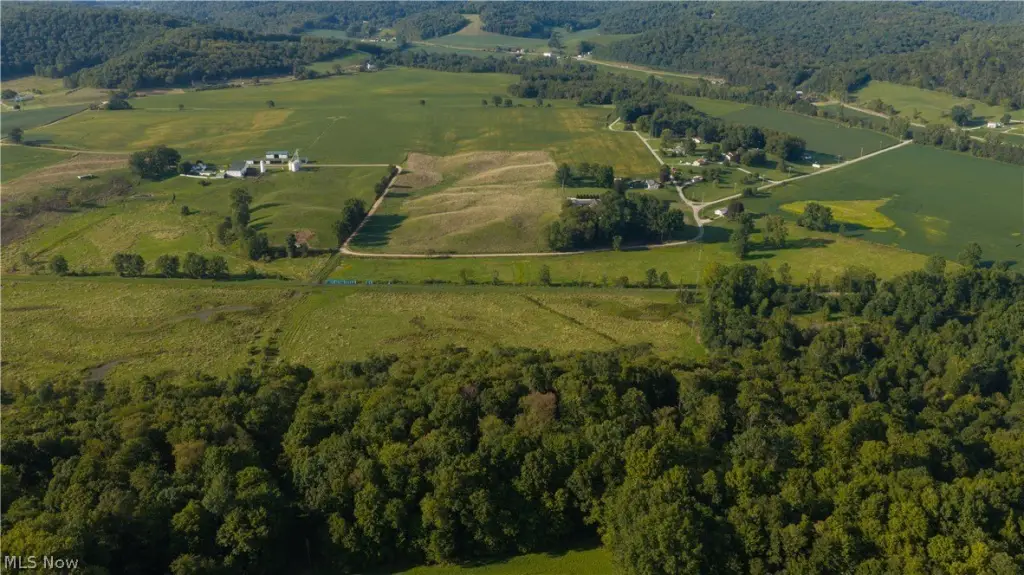
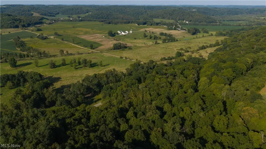
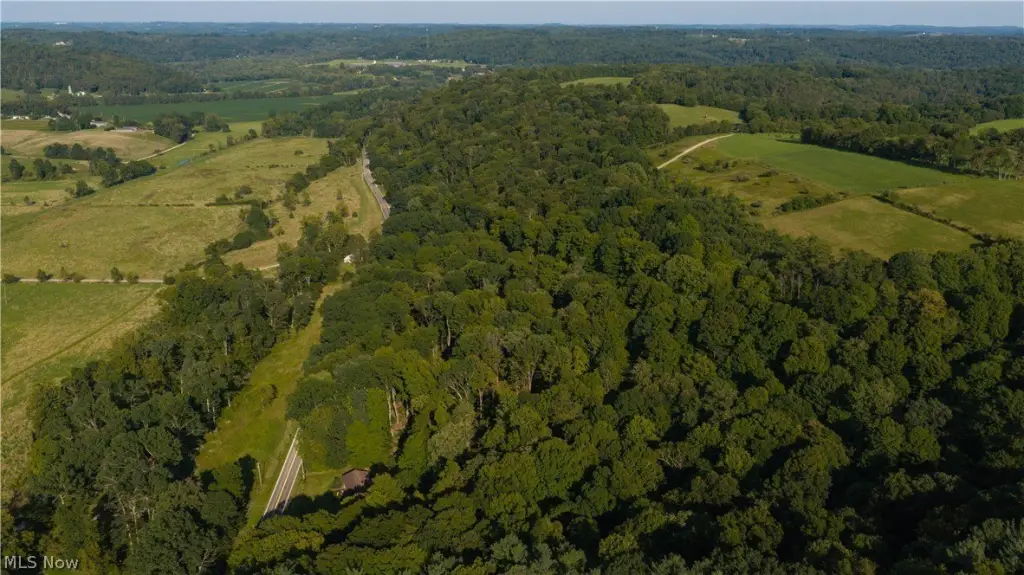
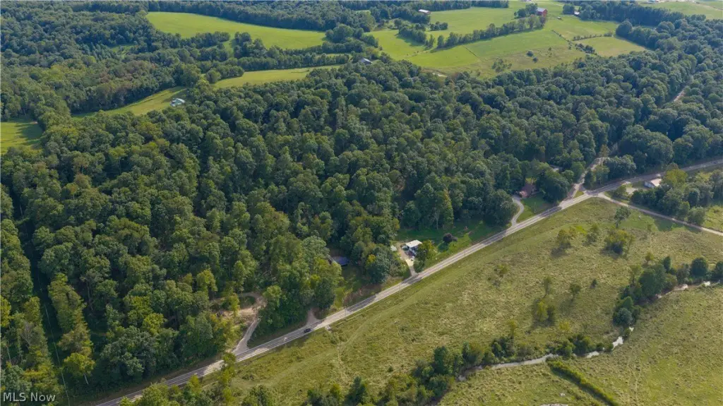
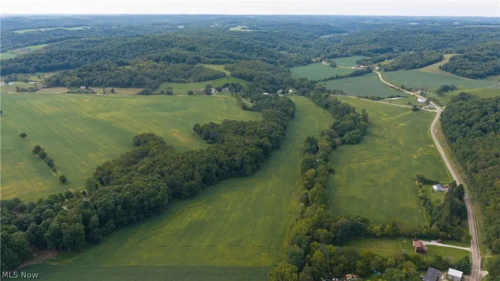
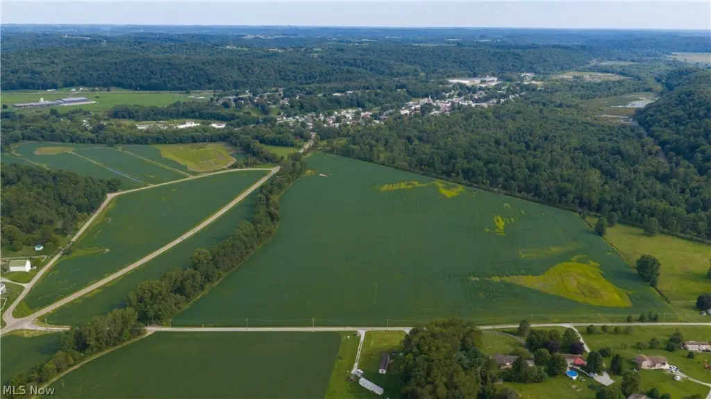
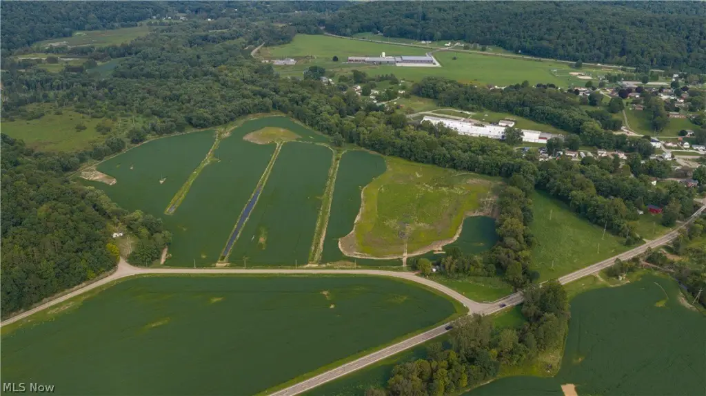
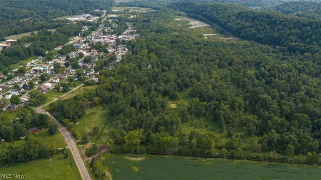
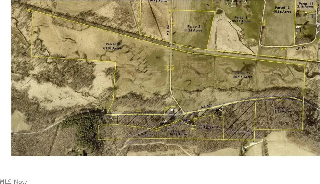
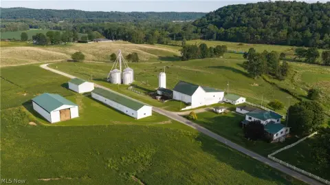
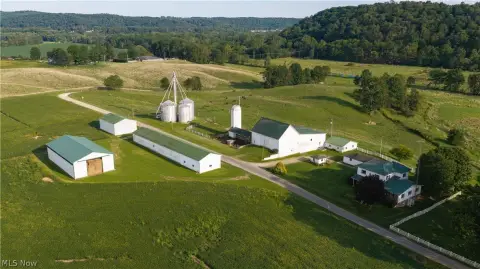
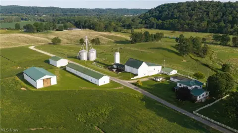
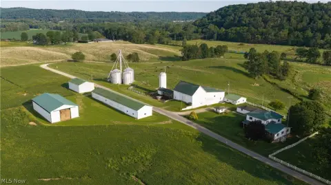
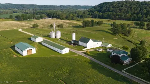
This agricultural parcel contains approximately 12.5 acres of wooded land and has 920 feet of frontage on State Route 520 in Killbuck, Ohio. It is identified as Parcel #23 in an auction offering that includes Parcels 14–24, which are being sold individually rather than as a package.
Online bidding is scheduled to begin October 16, 2026, with live on-site bidding set for October 17, 2026. The property is in Holmes County.
Online bidding is scheduled to begin October 16, 2026, with live on-site bidding set for October 17, 2026. The property is in Holmes County.
Key Highlights
- Approximately 12.5 acres of wooded land
- 920 feet of frontage on State Route 520
- Parcel #23 offered individually within Auction B
Property Analytics
Unlock full access to Insights
Subscribe to Realmo Intelligence
Open Analytics
Current Use
Location Intelligence
Trade Area within ½ mile
3
Businesses Nearby
Explore this area
Business Placement
Demographics for 44637, OH
2,437
Population
1,246
Households
2
Avg Household Size
41
Median Age
8%
College-Educated
83%
High-School Grad
52.4 sq mi
ZIP Area
47
Density / Sq Mi
$58,542
Median Household Income
$32,906
Median Earnings
$944
Median Rent
$163,600
Median Home Value
Check the figures for this property
Cap Rate, Value Estimation, Potential NOI and more
View Realmo Analytics

Questions? Ask Rey
Realmo’s AI knows this listing — price, zoning, demand, history. Ask anything.
Frequently Asked Questions
What type of property is this?
Agricultural land / Farmland - A wooded tract offers State Route 520 frontage in Killbuck.
Where is this agricultural land / farmland located?
The property is located at State Route 520 Killbuck, OH.
What are key features of this property?
This property features: Approximately 12.5 acres of wooded land; 920 feet of frontage on State Route 520; Parcel #23 offered individually within Auction B


