Fenced-Pasture Farm
State Route 520, Killbuck, OH 44637
For Sale
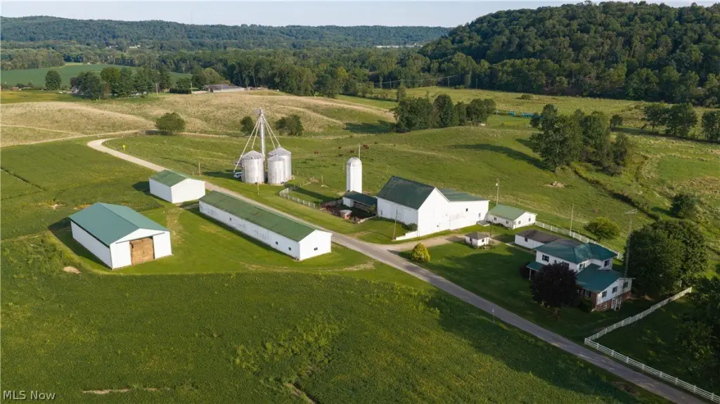
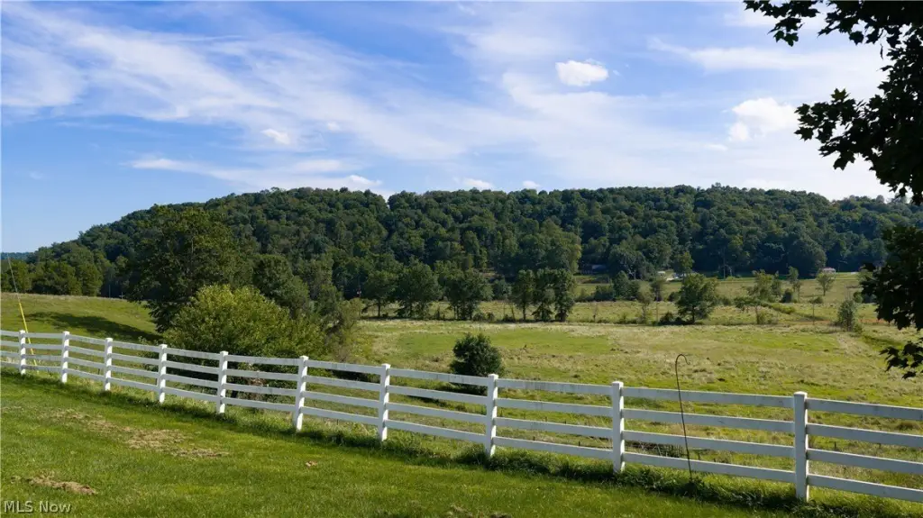
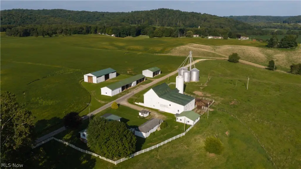
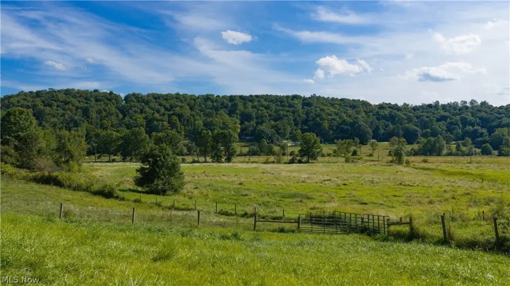
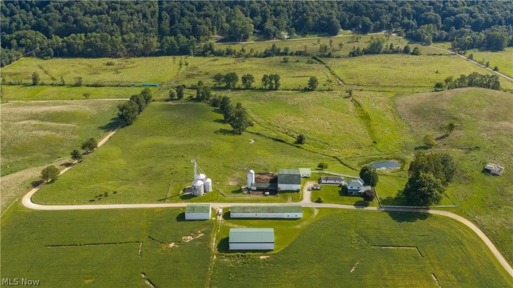
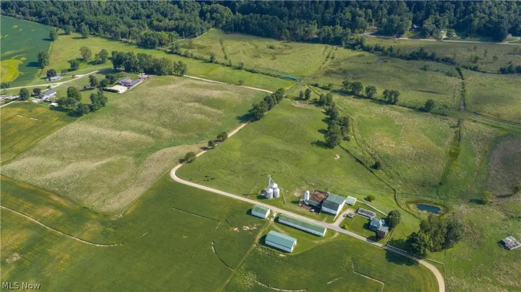
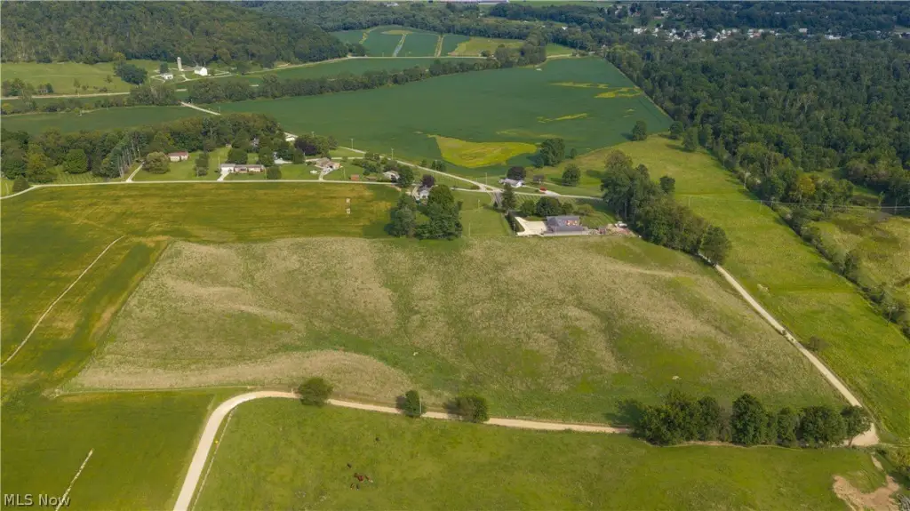
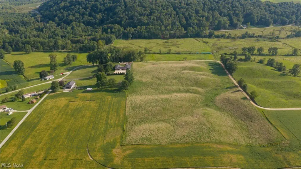
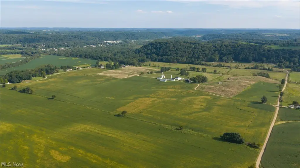
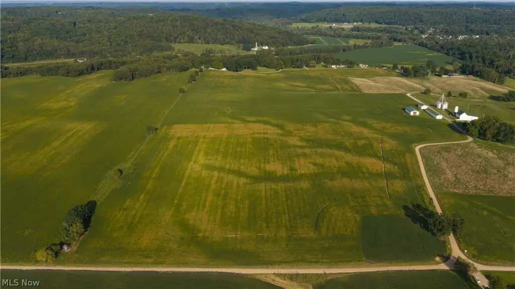
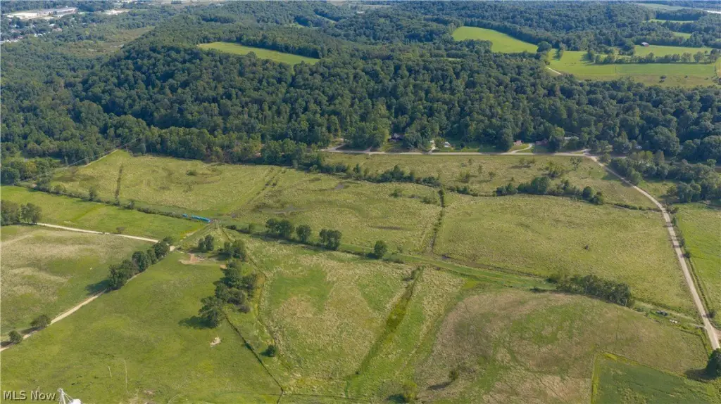
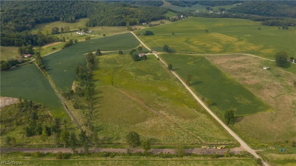
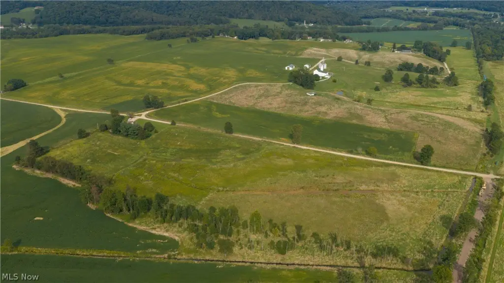
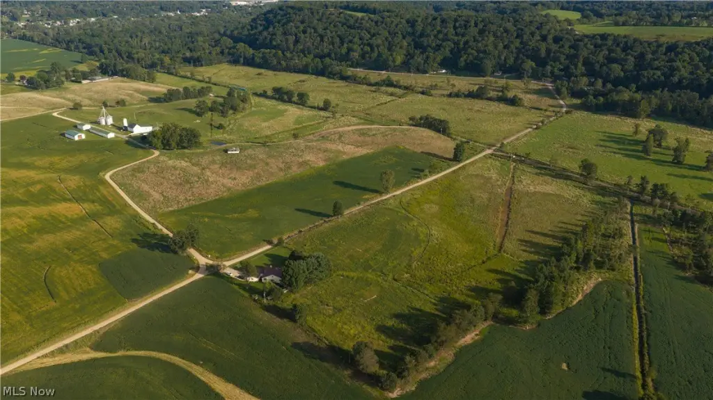
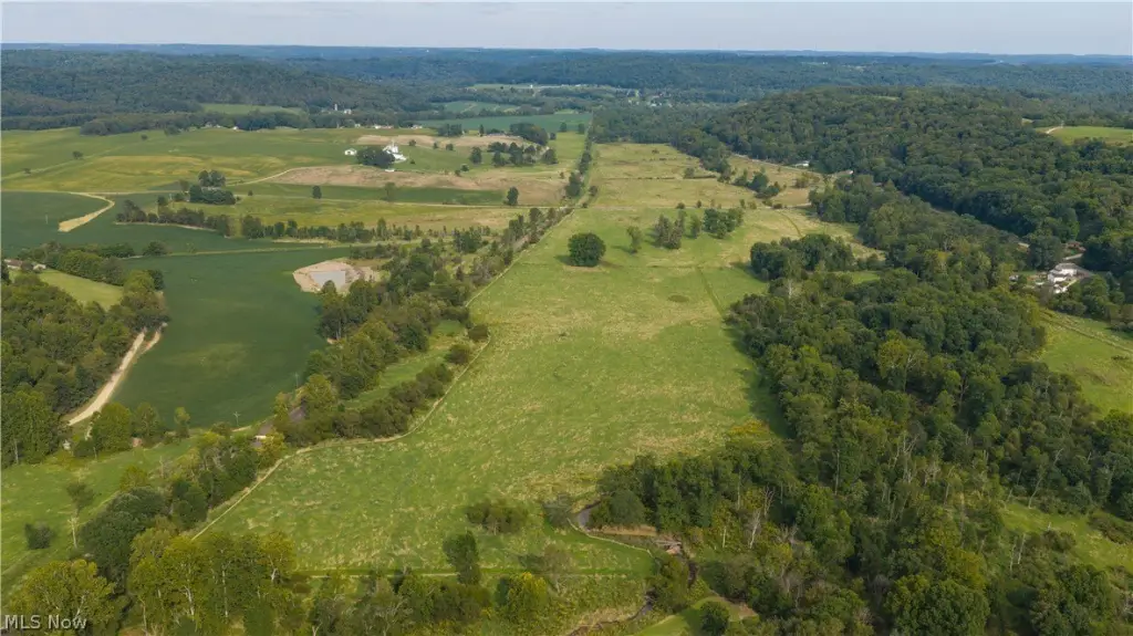
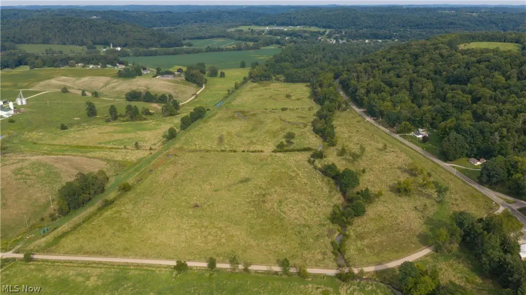
Contact for pricing
Pending
Land, Killbuck, OH
Property SizeContact for details
Lot Size50.10 Acres
Days on Market58
Property Features for State Route 520
General Information
Property type
Property subtype
Elementary school district
Middle school district
High school district
Directions
Special listing conditions
Standard status
APN
Lot size
Taxes and HOA fees
Tax Year
Tax Description
Legal Description
Listing Agency:
Kiko
(330) 453-9187
Listed By:
Peter R Kiko · License OH #353035
(330) 705-5996
Added: Sep 25
Changed: Oct 19
Last Checked: Nov 21 at 12:06PM
MLS# 5249125
Copyright © 2026 MLS Now. All rights reserved. All information provided by the listing agent/broker is deemed reliable but is not guaranteed and should be independently verified.

Ask AI about this property
Review the available facts, identify missing information and prepare questions for the agent.
Investment Insights
Based on property information with market context.
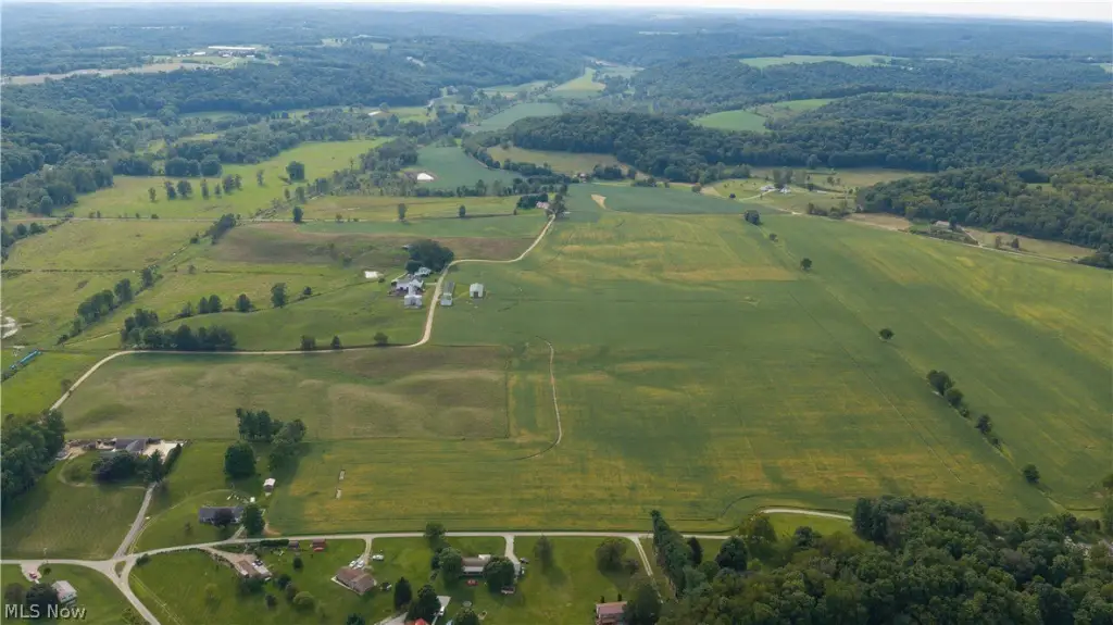
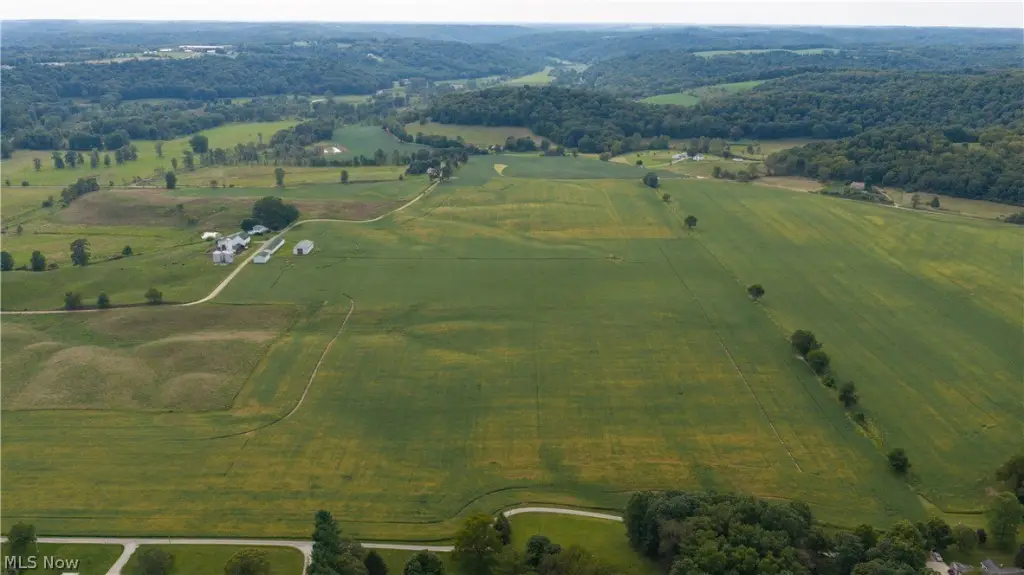
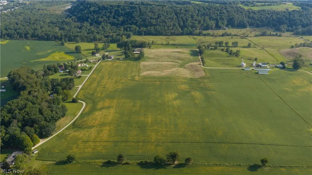
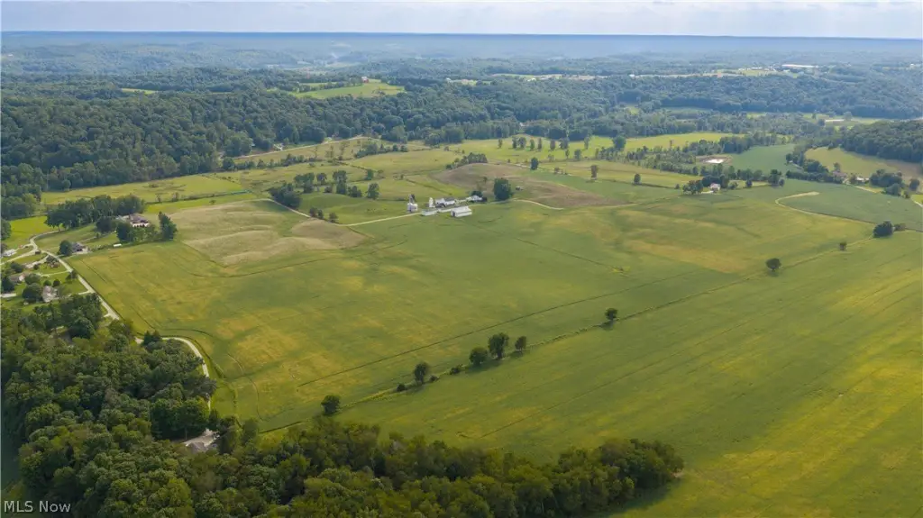
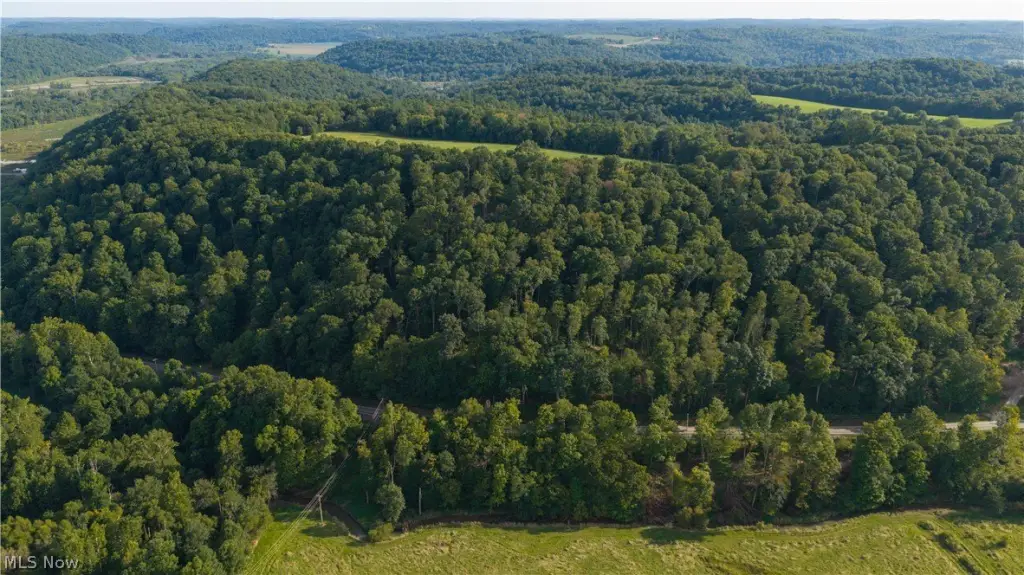
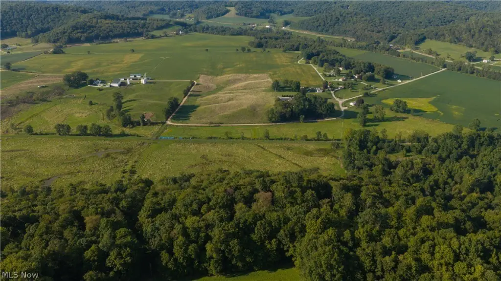
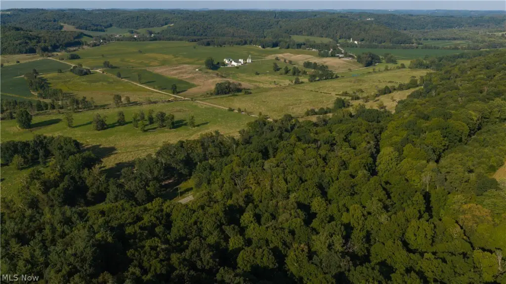
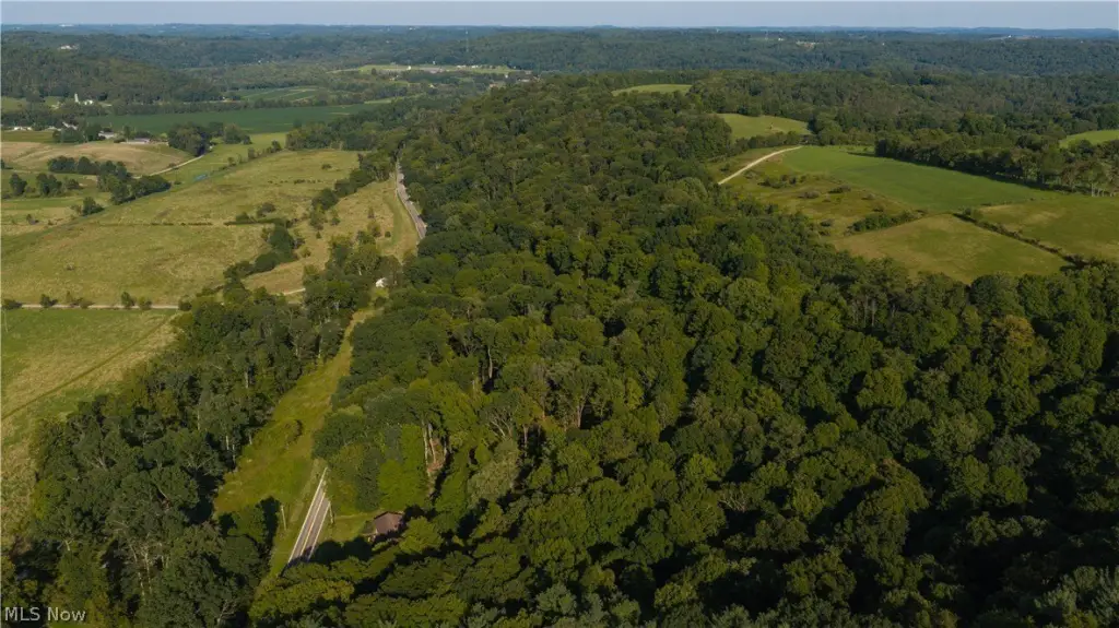
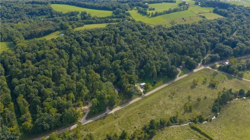
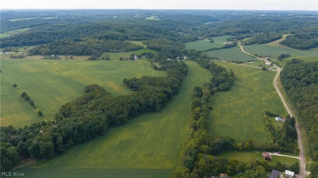
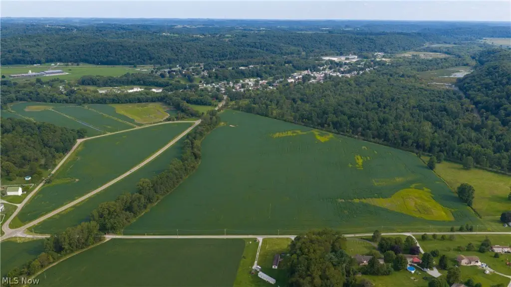
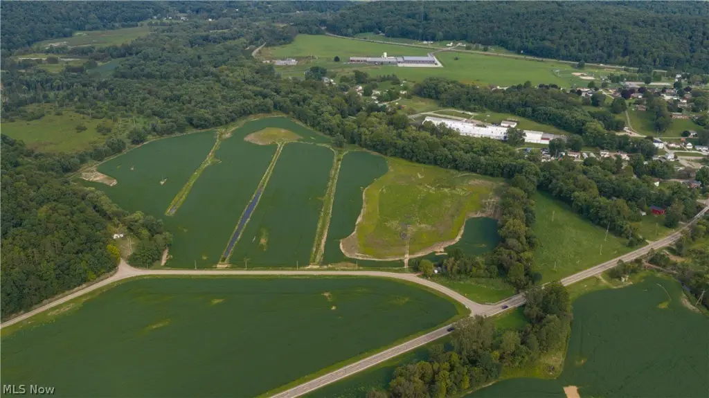
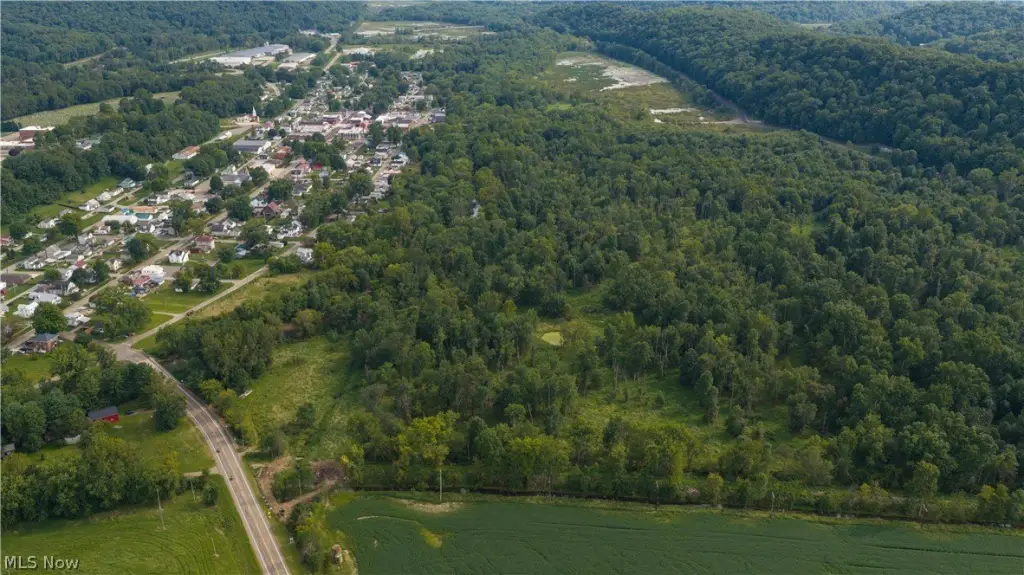
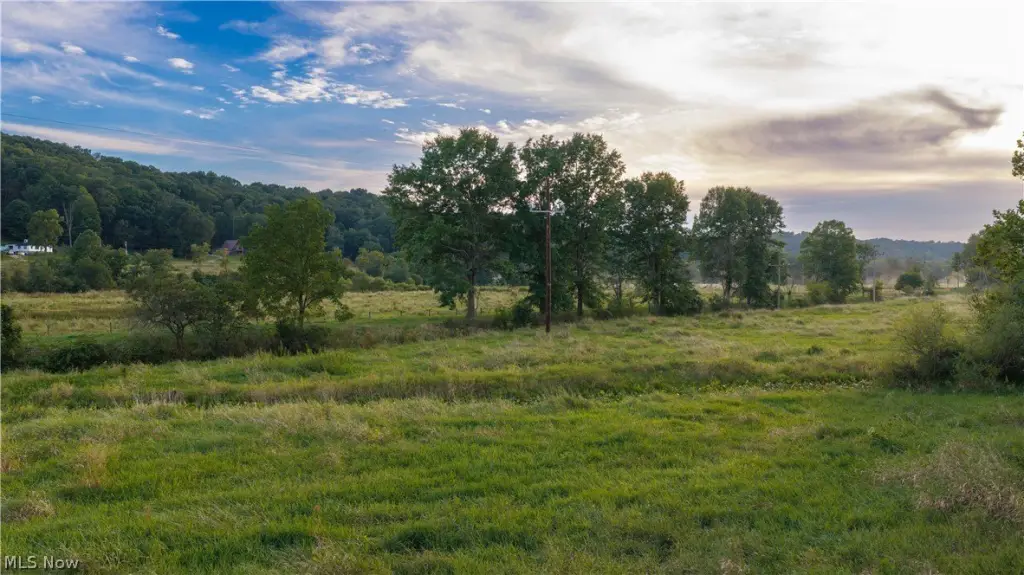
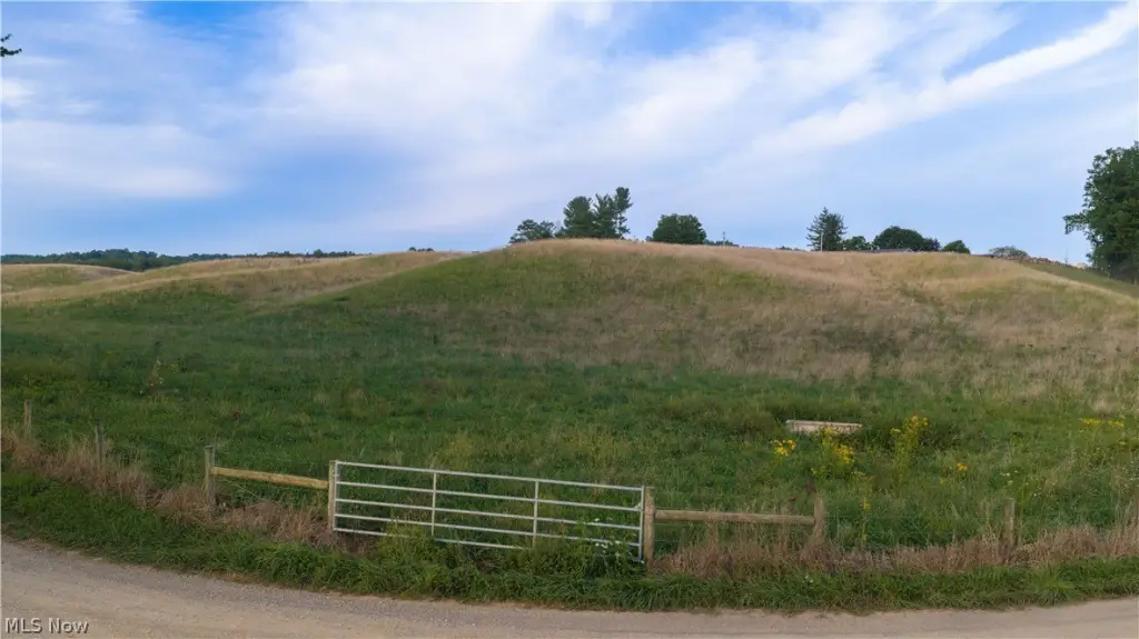
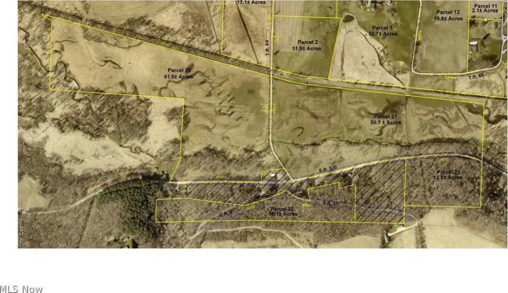
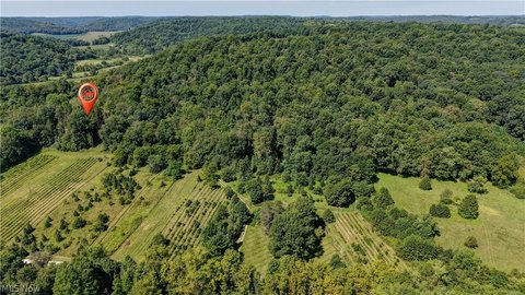
This 50.1-acre farm parcel consists primarily of fenced pasture, with some wooded land. Most of the acreage lies within the floodplain, while higher ground runs along State Route 520. The property has approximately 3,630 feet of frontage on Township Road 64 and State Route 520.
Key Highlights
- 50.1 acres with fenced pasture and some woods
- Approximately 3,630 feet of frontage on Township Road 64 and State Route 520
- Most of the parcel is within the floodplain, with higher ground along State Route 520
Property Analytics
Who owns this building?
See the owner, sales and loan history
Open Analytics
Current Use
Location Intelligence
Trade Area within ½ mile
3
Businesses Nearby
Improve property use
Find place for business
Demographics for 44637, OH
2,437
Population
1,246
Households
2
Avg Household Size
41
Median Age
8%
College-Educated
83%
High-School Grad
52.4 sq mi
ZIP Area
47
Density / Sq Mi
Median Household Income
Median Earnings
Median Rent
Median Home Value
Check the figures for this property
Cap Rate, Value Estimation, Potential NOI and more
View Realmo Analytics

Frequently Asked Questions
What type of property is this?
Farm - A mix of fenced grazing ground and woodland fronts State Route 520 and Township Road 64.
Where is this farm located?
The property is located at State Route 520 Killbuck, OH.
What are key features of this property?
This property features: 50.1 acres with fenced pasture and some woods; Approximately 3,630 feet of frontage on Township Road 64 and State Route 520; Most of the parcel is within the floodplain, with higher ground along State Route 520