Recreational Ranch with Long
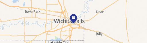
HWY 79 Wichita Falls, TX 76305

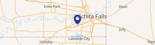
HWY 79, Wichita Falls, TX, 76305
$7,334,670
For Sale
$7,334,670
LAND - Wichita Falls, TX
Lot Size2,226.00 Acres
Days on Market192
Property Features for HWY 79
General Information
- Property type
- Land
- Property subtype
- Other
- Standard status
- Active
- APN
- 0002332
- Lot size
- 2,226.00 Acres
Taxes and HOA fees
- Tax Annual Amount
- 61
Listing Agency
Texas Hunting Land. LLC
(817) 350-4617
Fort Worth, TX
Listed by
Blaine Covington · License #0474901
(817) 350-4617
Added: Jan 7 Checked: Jul 18 at 12:06 pm
MLS# 21146463
Listing URL
Copyright © 2026 North Texas Real Estate Information Systems, Inc. All rights reserved. All information provided by the listing agent/broker is deemed reliable but is not guaranteed and should be independently verified.
Investment Insights
Based on property information with market context.
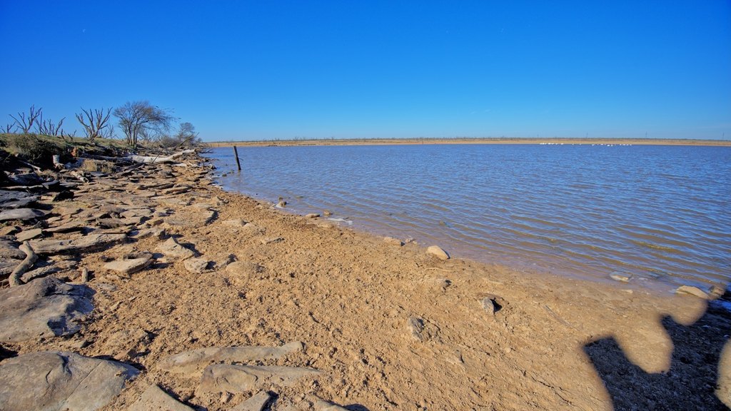
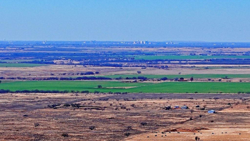
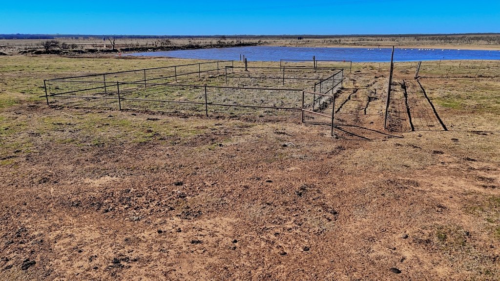
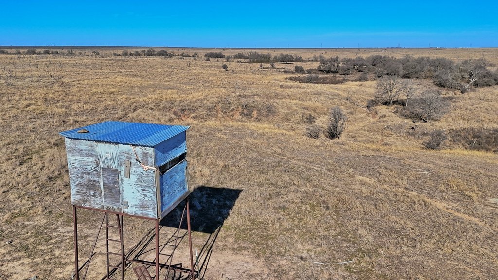
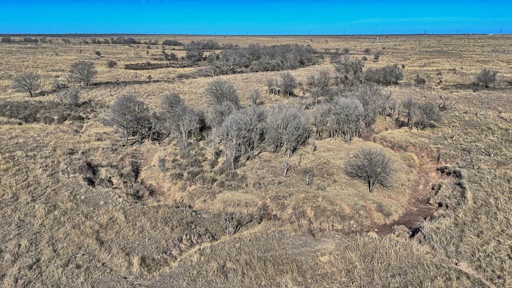
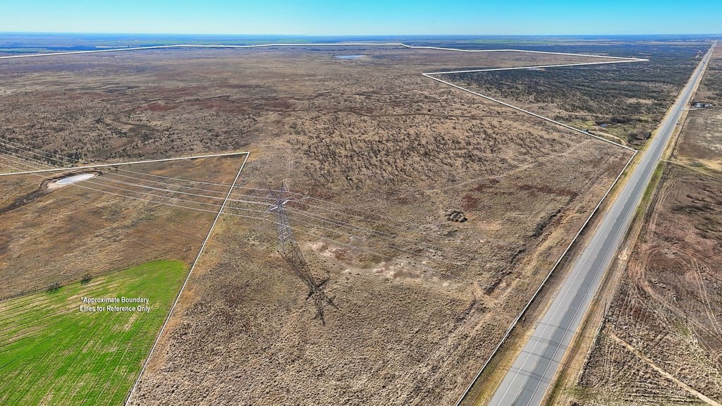
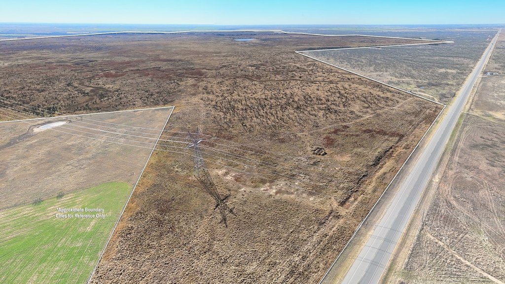
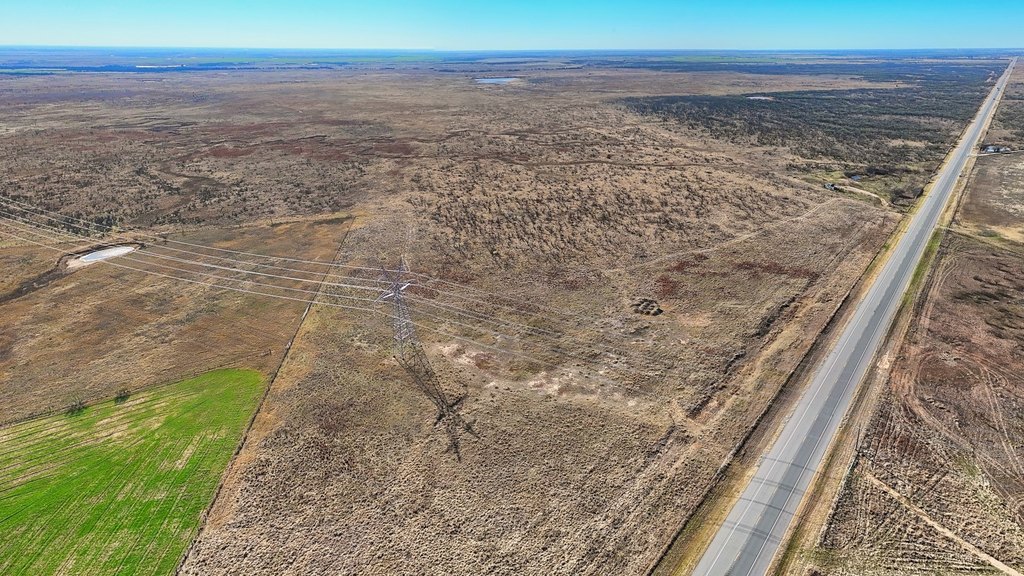
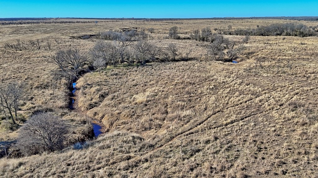
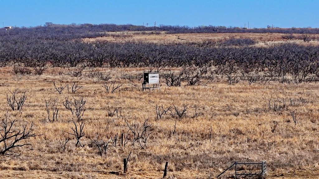
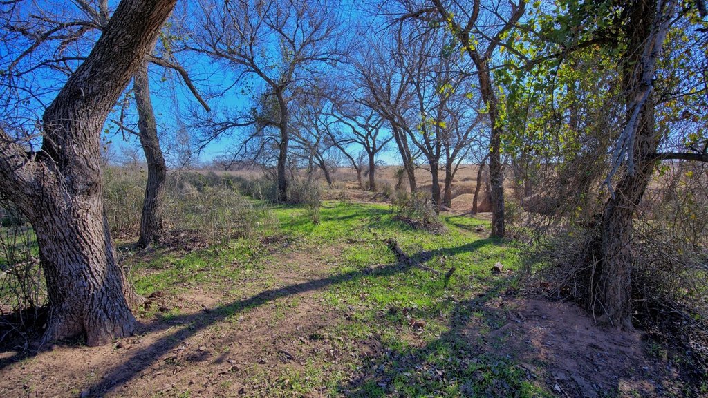
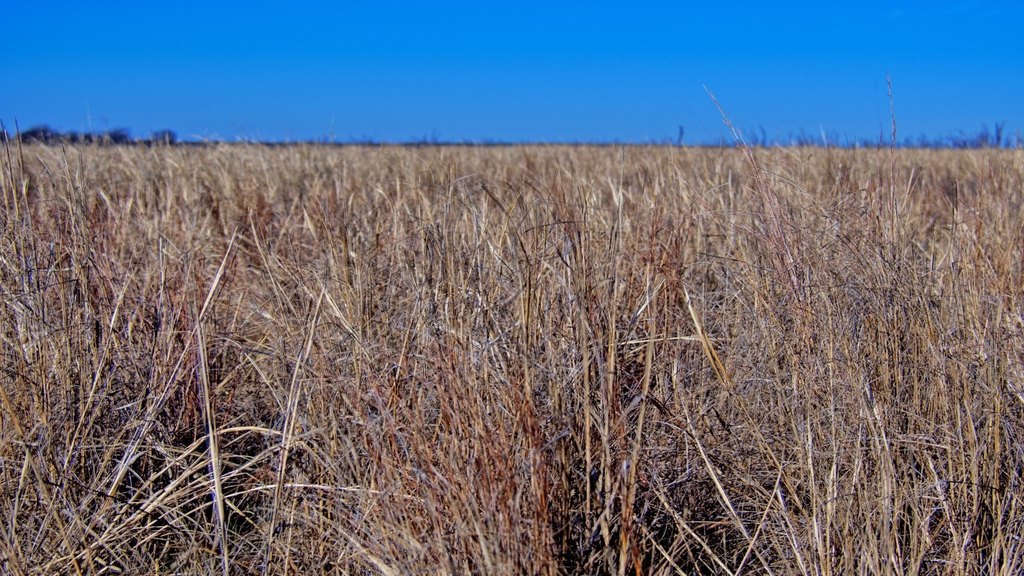
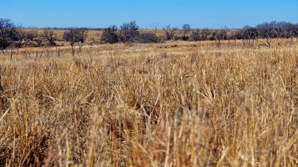
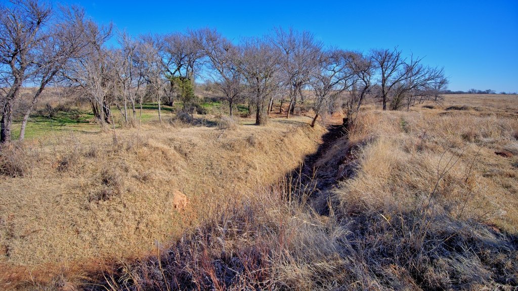
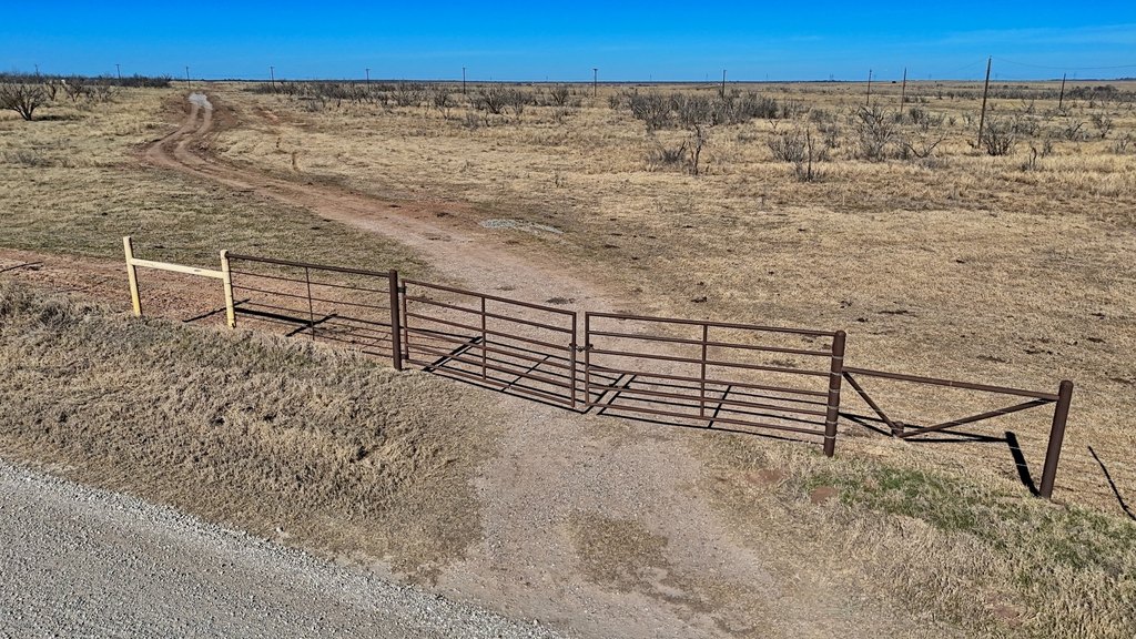
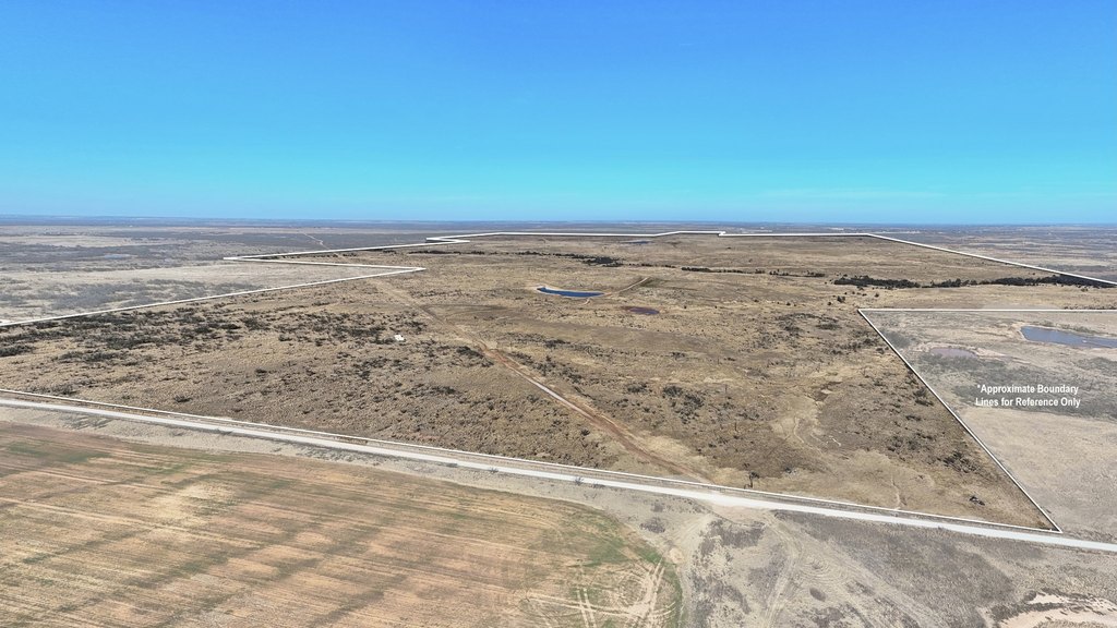
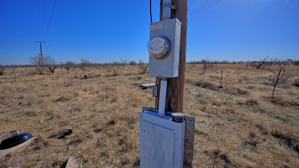
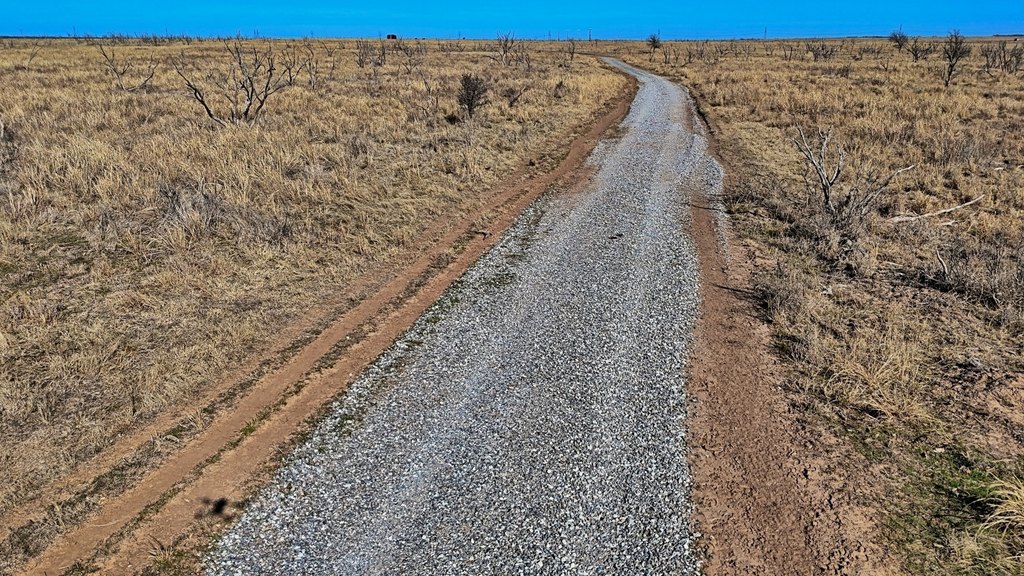
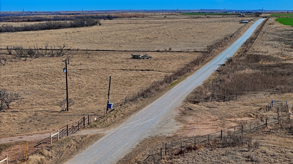
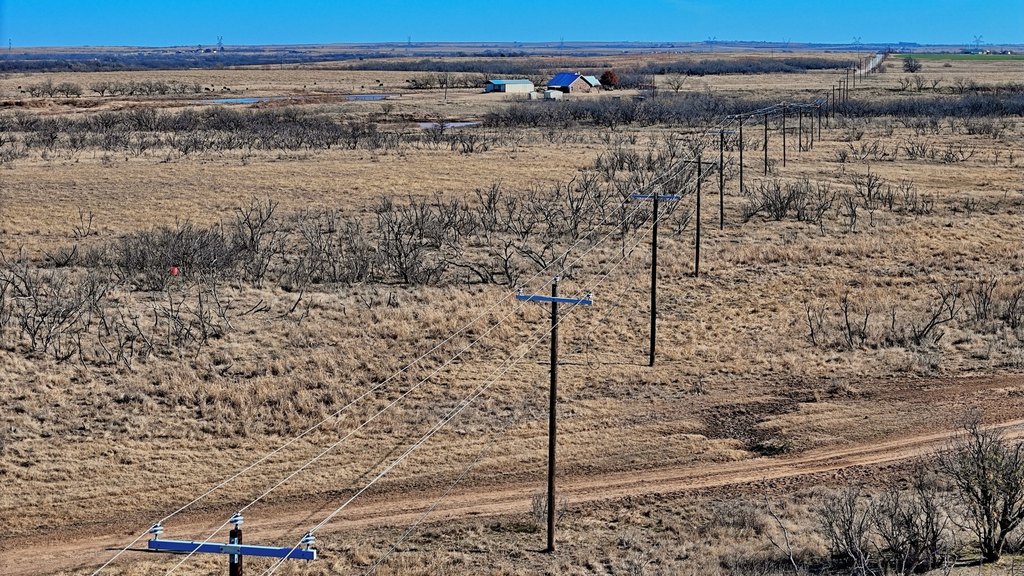
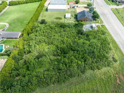
The Petrolia Ranch is a North Texas ranching and recreational property offering approximately 2,226 acres of expansive native grass prairie and hardwood-lined creek bottoms. Long Creek runs the width of the ranch, providing scenic views and a seasonal water source that supports strong wildlife habitat. The property balances grazing ground with cover, and it is primarily operated as a cattle ranch with well-managed pastures that have been aerially sprayed and maintained throughout. Improvements include good to excellent fencing with pipe-gated entrances, an established interior road system, and electrical service in place. Pipe corrals are shared with a neighbor and are located near the north entrance for practical livestock handling, with additional surface water available across the ranch.
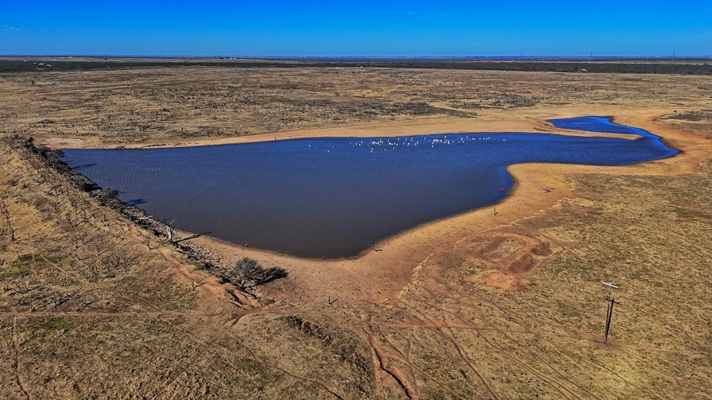
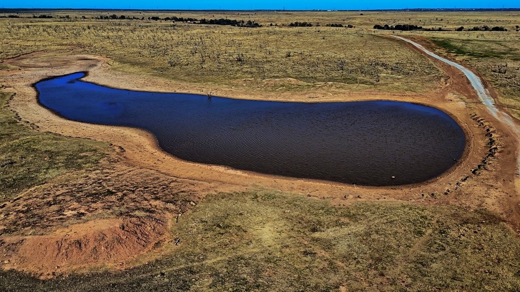
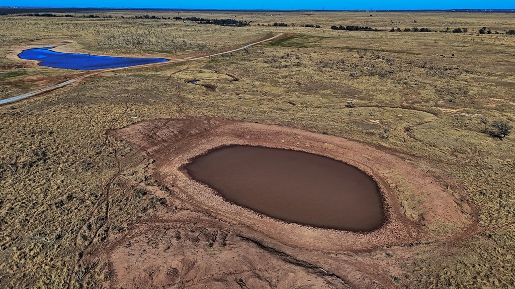
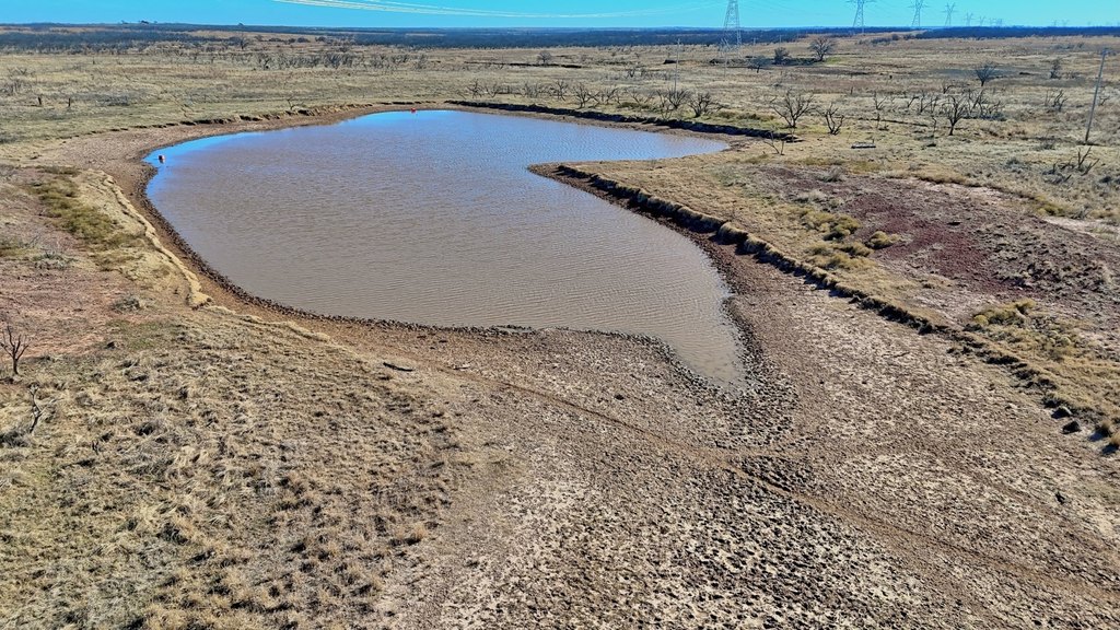
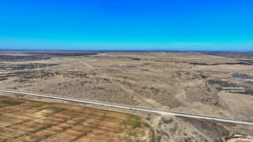
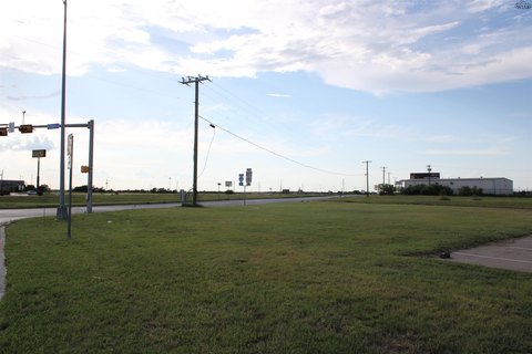
Access is described as excellent, with frontage along Highway 79 to the north and Black Road to the south, providing multiple entry points. The ranch is also supported by surface water spread throughout, including two lakes and two additional ponds, intended to provide dependable water for livestock and wildlife as well as for recreational enjoyment. Terrain is well-drained with gently rolling topography across most of the property.
This property is well-suited for buyers seeking a working cattle operation paired with meaningful recreational use, especially for long-term land ownership. With native grass pasture, established livestock infrastructure, and habitat features tied to Long Creek and the available water sources, it offers an all-in-one platform for grazing, hunting, and wildlife-friendly recreation.
Key Highlights
- Approximately 2,226‑acre ranch in northern Clay County with native grass prairies and hardwood‑lined creek bottoms
- Long Creek runs the width of the property, offering scenic views and a seasonal water source
- Water features include 2 lakes (4 and 18 acres) plus 2 additional ponds for livestock and wildlife
Property Analytics
Location Intelligence
Current Use by Public Records
Ranches
Similar For Sale Nearby
FAQs
What type of property is this?
Ranch - Productive north Texas ranch with native grass pastures, creek bottom habitat, and dependable water for cattle and hunting.
Where is this ranch located?
The property is located at HWY 79 Wichita Falls, TX.
What is the asking price?
The asking price for this property is $7,334,670.
What are key features of this property?
This property features: Approximately 2,226‑acre ranch in northern Clay County with native grass prairies and hardwood‑lined creek bottoms; Long Creek runs the width of the property, offering scenic views and a seasonal water source; Water features include 2 lakes (4 and 18 acres) plus 2 additional ponds for livestock and wildlife


