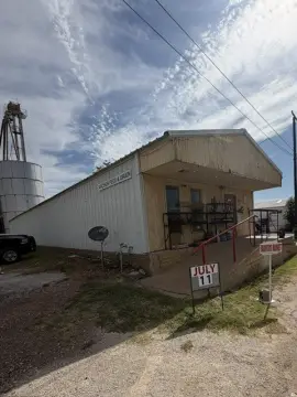
Cattle Ranch with Highway
HWY 79 Archer City, TX 76374
HWY 79, Archer City, TX, 76374
$1,489,000
For Sale
$1,489,000
LAND - Archer City, TX
Lot Size430.00 Acres
Days on Market139
Property Features for HWY 79
General Information
- Property type
- Land
- Property subtype
- Other
- Standard status
- Active
- APN
- 001360001000000000000
- Lot size
- 430.00 Acres
Taxes and HOA fees
- Tax Description
- F GIBENRATH A-136
Listing agency
Texas Hunting Land. LLC
(817) 350-4617
Listed by
Blaine Covington · License #0474901
(817) 350-4617
Added: Mar 5 Updated: Jun 7 at 1:49PM Checked: Jul 22 at 6:06PM
MLS# 21196026
Copyright © 2026 North Texas Real Estate Information Systems, Inc. All rights reserved. All information provided by the listing agent/broker is deemed reliable but is not guaranteed and should be independently verified.
Investment Insights
Based on property information with market context.
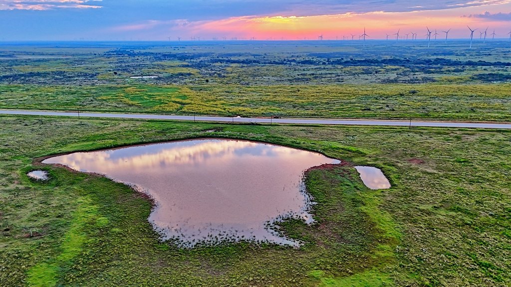
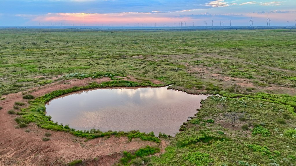
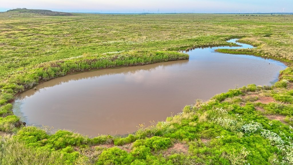
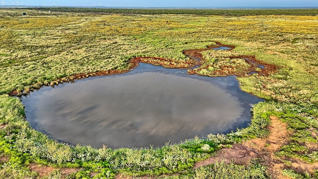
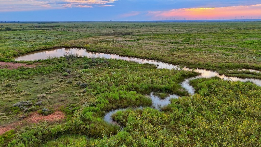
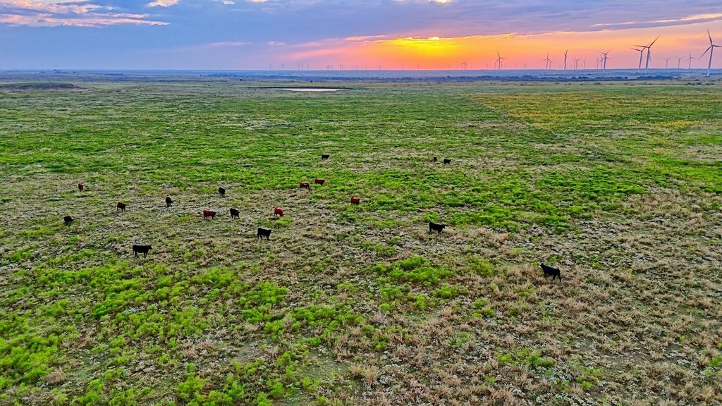
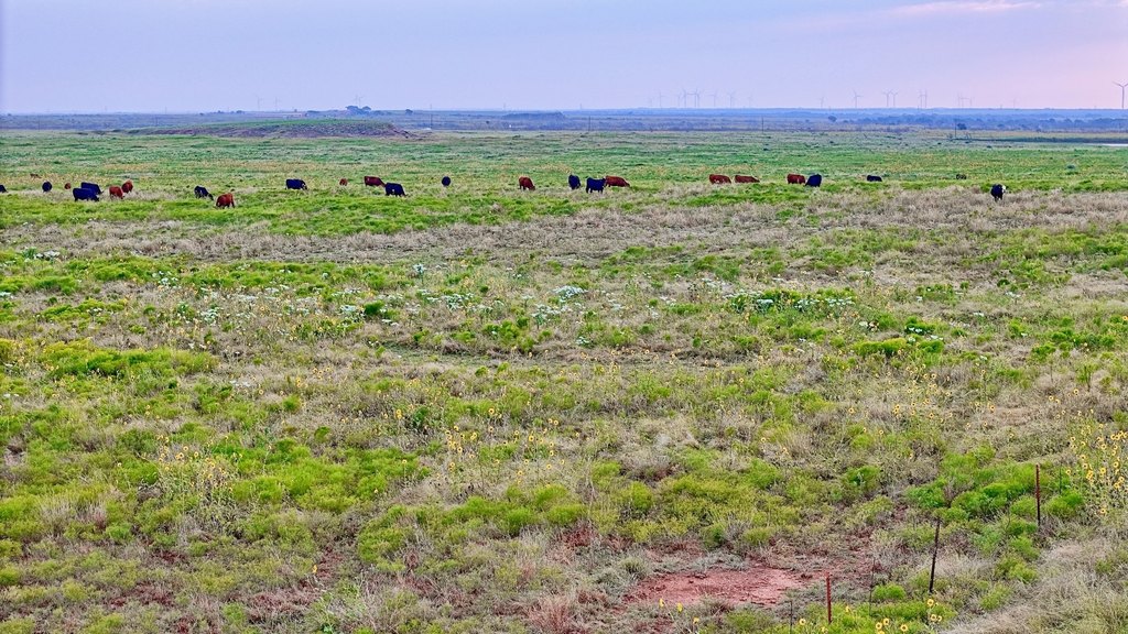
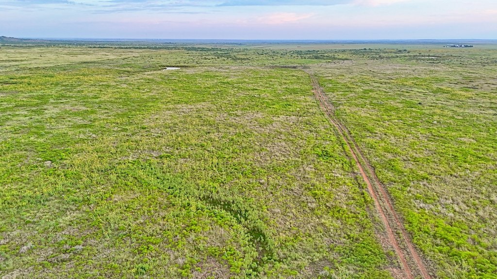
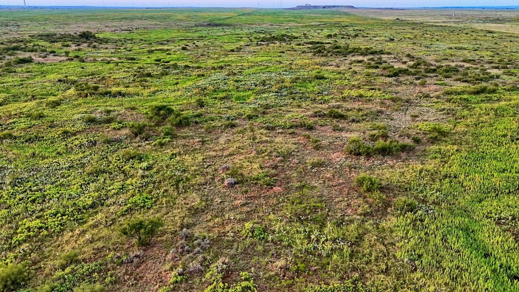
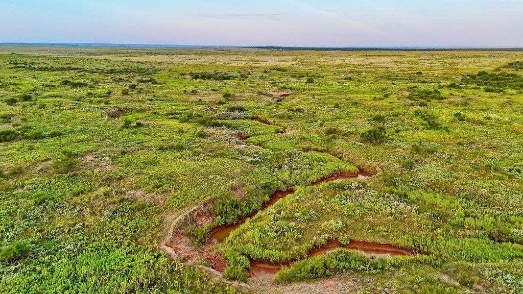
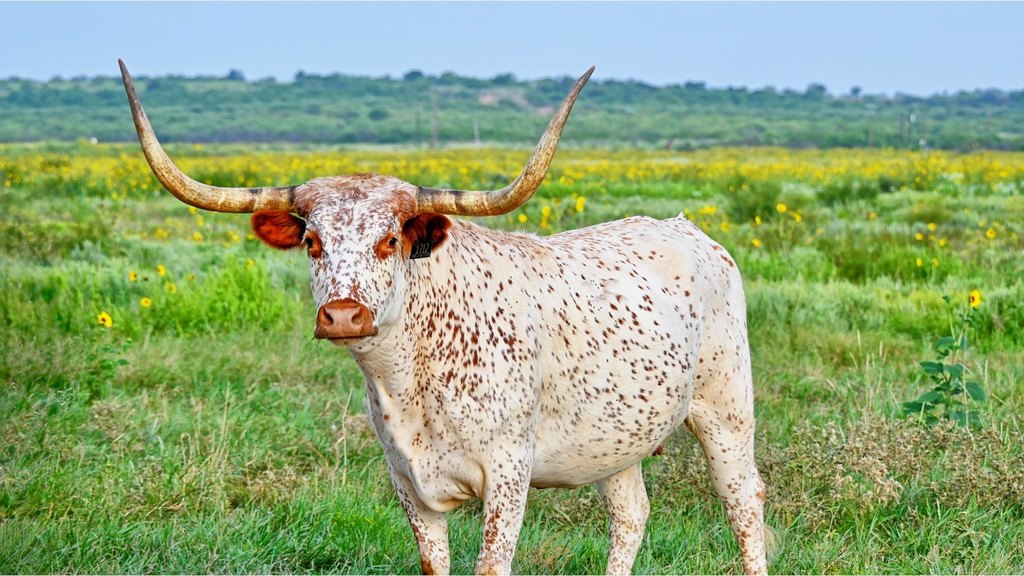
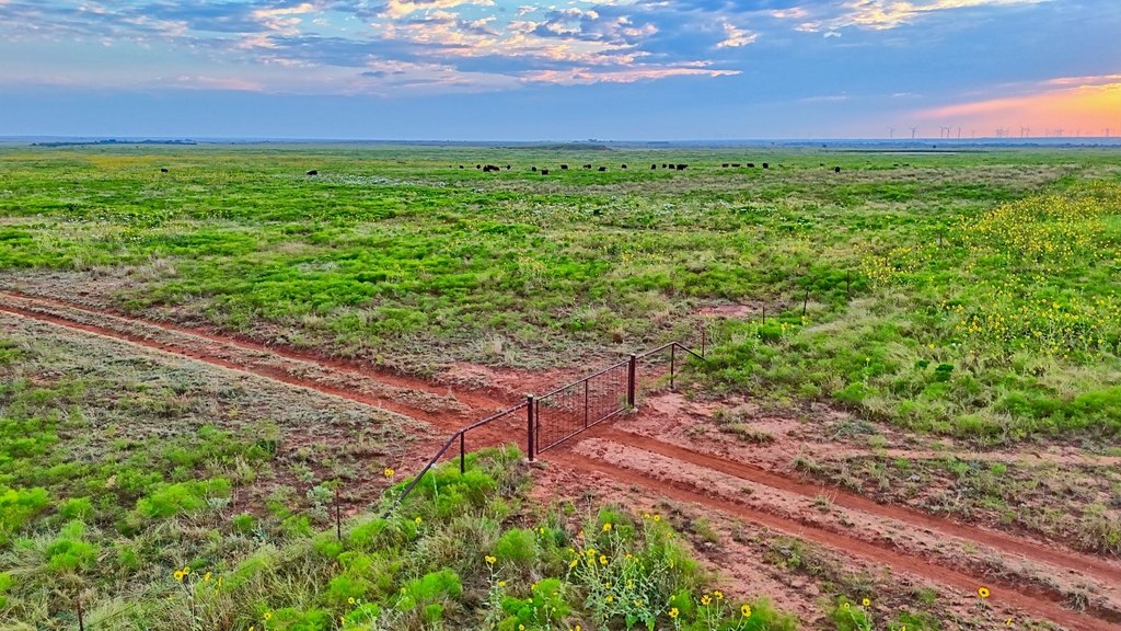
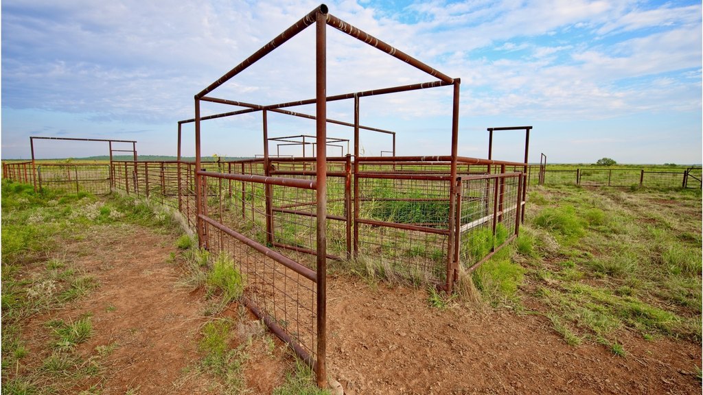
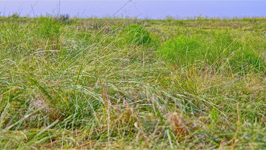
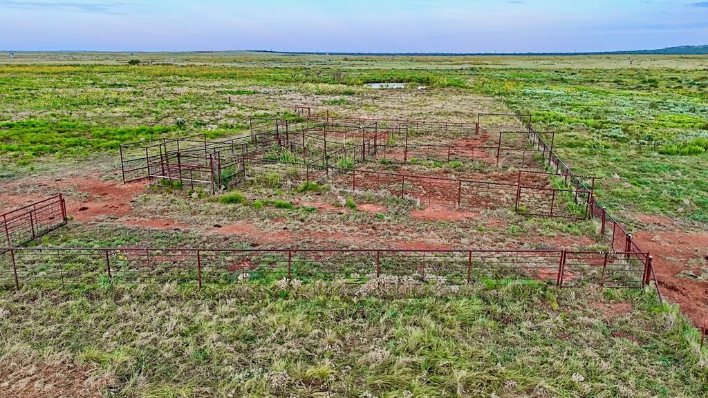
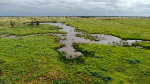
This ranch is designed for cattle grazing and long-term value in North Central Texas, with native grasses preserved and invasive mesquite growth controlled across the property. Cross-fencing separates the ranch into two main pastures, plus a trap near a large set of pipe working pens, supporting rotational grazing and practical herd management. Water infrastructure includes two smaller livestock ponds and a larger pond, providing reliable sources for cattle and wildlife. Additional improvements include large pipe corrals, cleared grazing areas, fencing described as good to excellent, and an area that could potentially be converted to a cultivated field. A scenic plateau near the east edge offers a vantage point over the large pond and surrounding countryside.
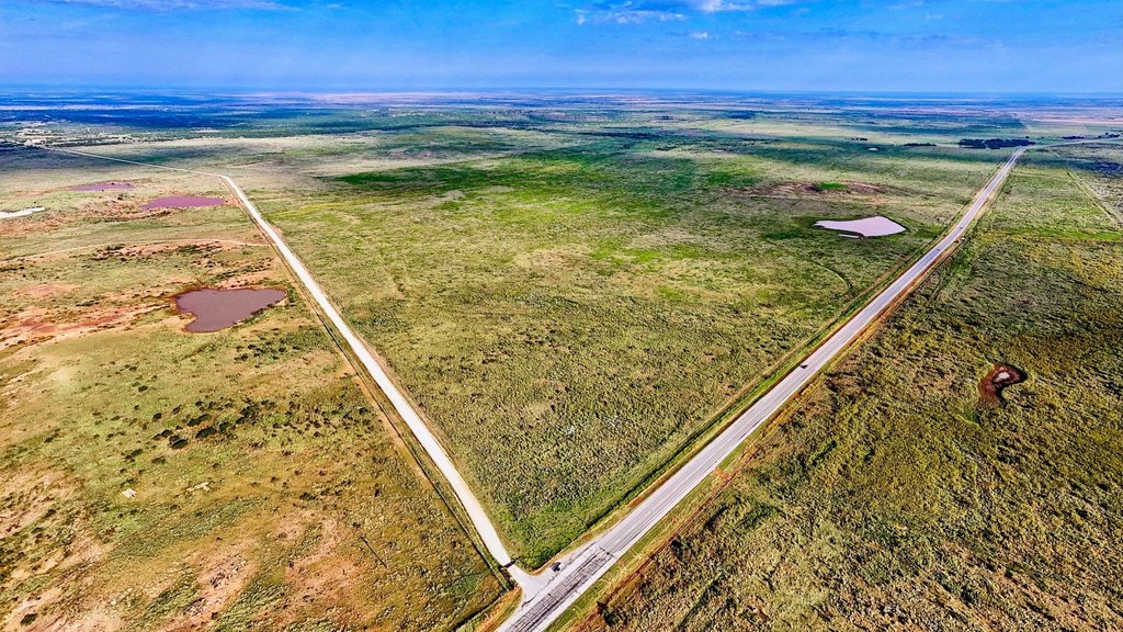
The property is accessed via Highway 79 and benefits from substantial Highway 79 frontage. Utility service is noted as available along the Highway 79 frontage, including electricity and rural water, with a four-inch city waterline running the length of the frontage. The ranch is positioned within a sought-after cattle ranching region of Archer County, and it sits between two major livestock auctions located in Wichita Falls and Graham.
With its cross-fenced layout, established water sources, and working pens, the ranch is well suited for operators looking to run a standalone cattle operation or add capacity to an existing program. It also presents an investment-oriented holding with the ability to support multiple divisions of the property using onsite utilities, while maintaining productive grazing ground for rotational management.
Key Highlights
- 430‑acre North Central Texas cattle‑grazing ranch with native grasses and invasive mesquite control
- Cross‑fenced layout with two main pastures plus a trap near large pipe working pens for rotational grazing and herd management
- Water features include two smaller livestock ponds and a large pond for cattle and wildlife
Property Analytics
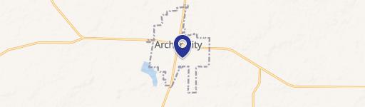
Location Intelligence
Current Use by Public Records
Ranches
Similar For Sale Nearby
FAQs
What type of property is this?
Ranch - Ranch acreage with cross-fenced pastures, ponds, and Highway 79 utilities for flexible grazing and investment use.
Where is this ranch located?
The property is located at HWY 79 Archer City, TX.
What is the asking price?
The asking price for this property is $1,489,000.
What are key features of this property?
This property features: 430‑acre North Central Texas cattle‑grazing ranch with native grasses and invasive mesquite control; Cross‑fenced layout with two main pastures plus a trap near large pipe working pens for rotational grazing and herd management; Water features include two smaller livestock ponds and a large pond for cattle and wildlife


