Corner Commercial Development
HWY 289 Gunter, TX 75058
HWY 289, Gunter, TX, 75058
$1,500,000
For Sale
$1,500,000
LAND - Gunter, TX
Lot Size11.00 Acres
Days on Market13
Property Features for HWY 289
General Information
- Property type
- Land
- Property subtype
- Other
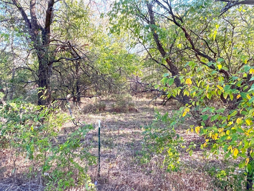
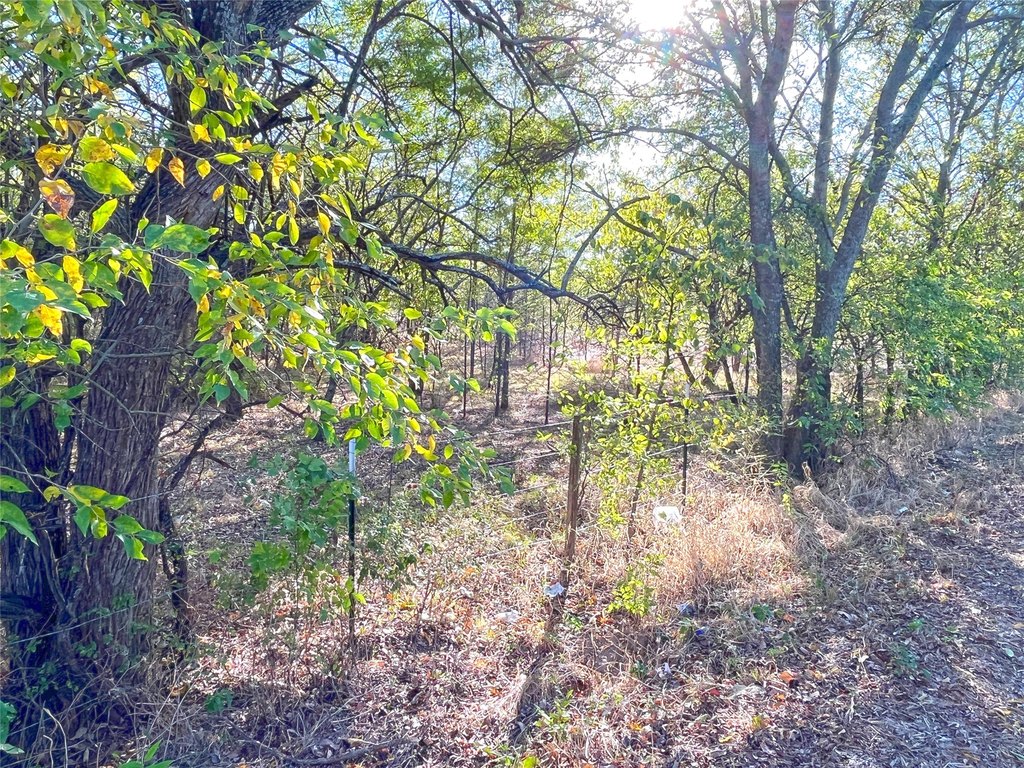
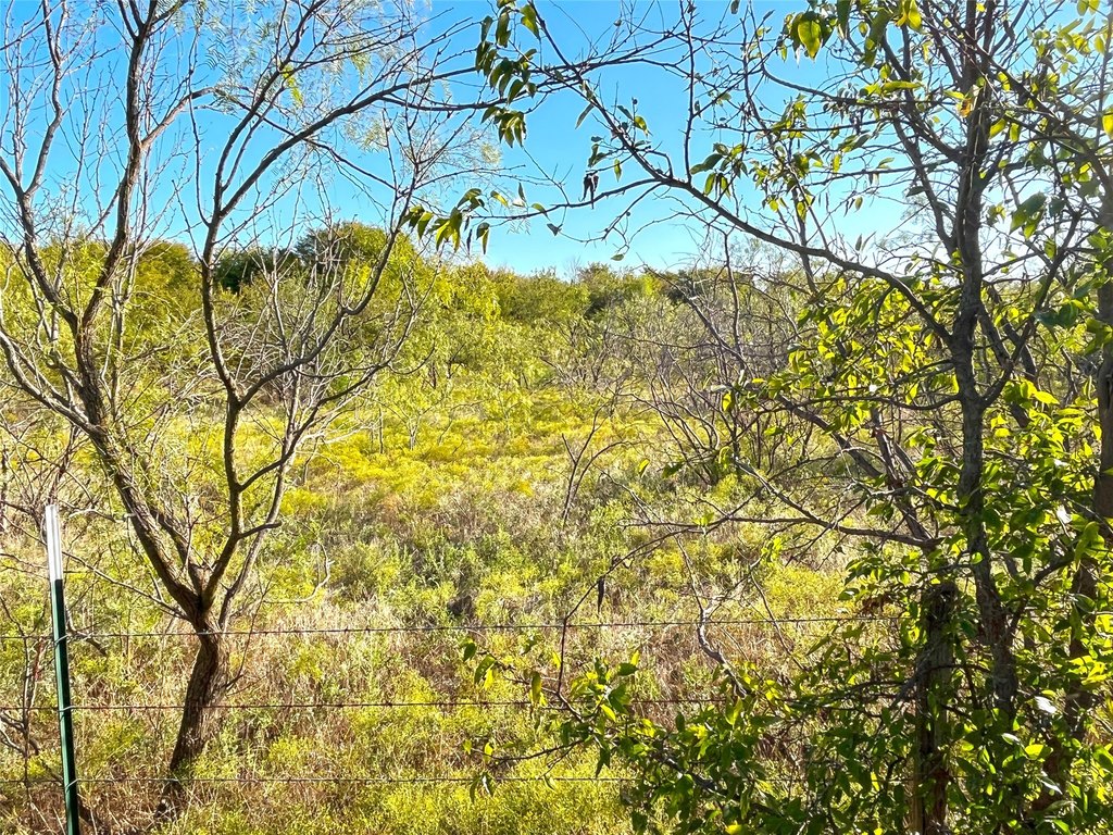
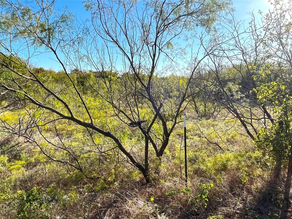
- Vegetation
- Wooded
- Standard status
- Active
- APN
- 214082
- Lot size
- 11.00 Acres
Taxes and HOA fees
- Tax Description
- G-0966 PERRY D A-G0966, ACRES 8.08
- Tax Annual Amount
- 8
Utilities
- Water source
- Public
Listing Agency
Vincent Realty Group
(903) 870-8528
Tom Bean, TX
Listed by
Sara Jerome · License #0630971
(903) 870-8528
Added: Jul 7 Checked: Jul 19 at 8:06 am
MLS# 20186906
Listing URL
Copyright © 2026 North Texas Real Estate Information Systems, Inc. All rights reserved. All information provided by the listing agent/broker is deemed reliable but is not guaranteed and should be independently verified.
Investment Insights
Based on property information with market context.
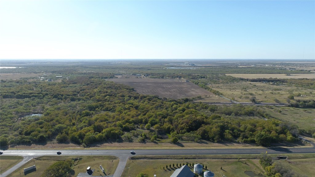
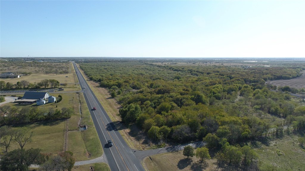
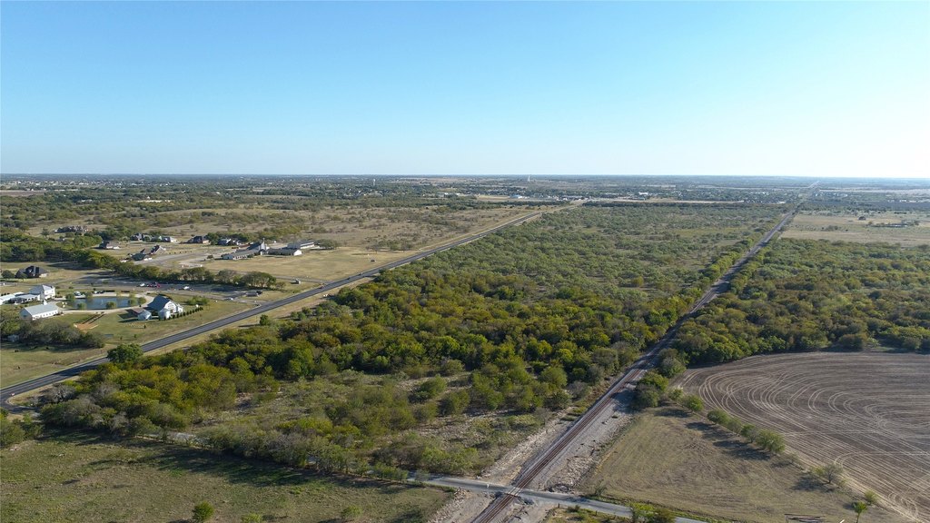
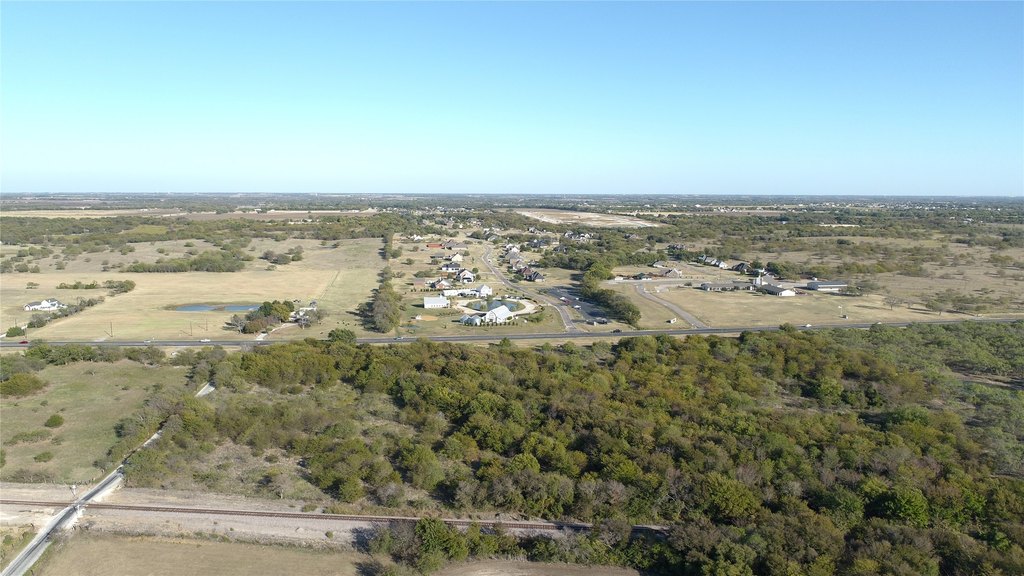
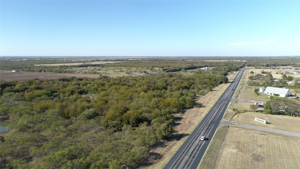
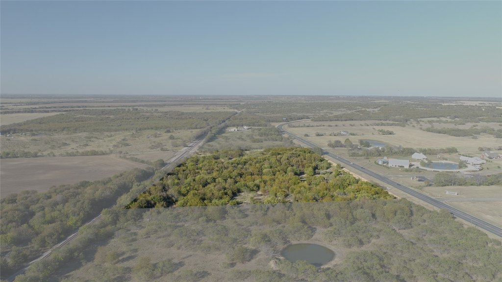
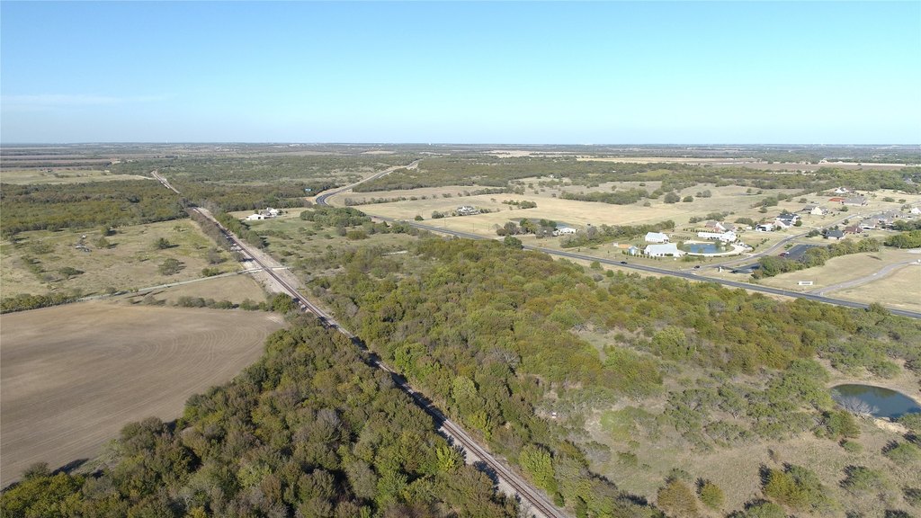
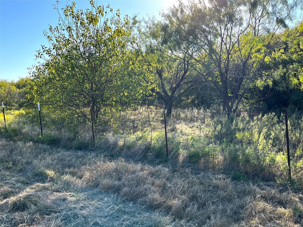
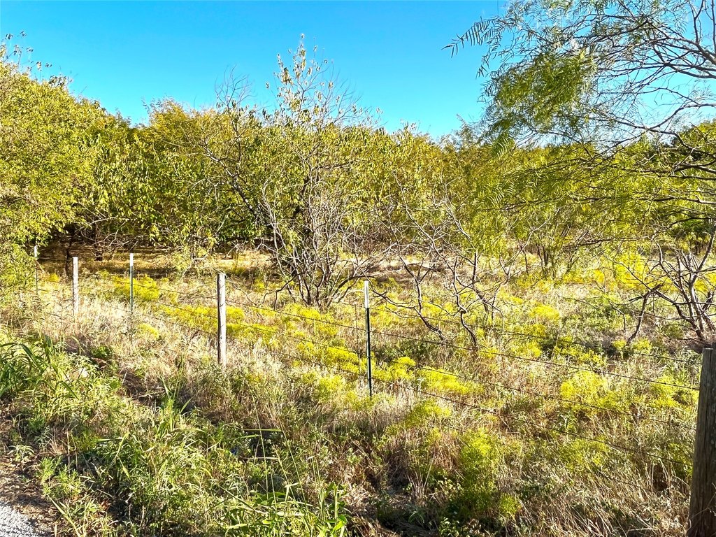
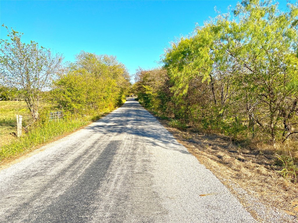
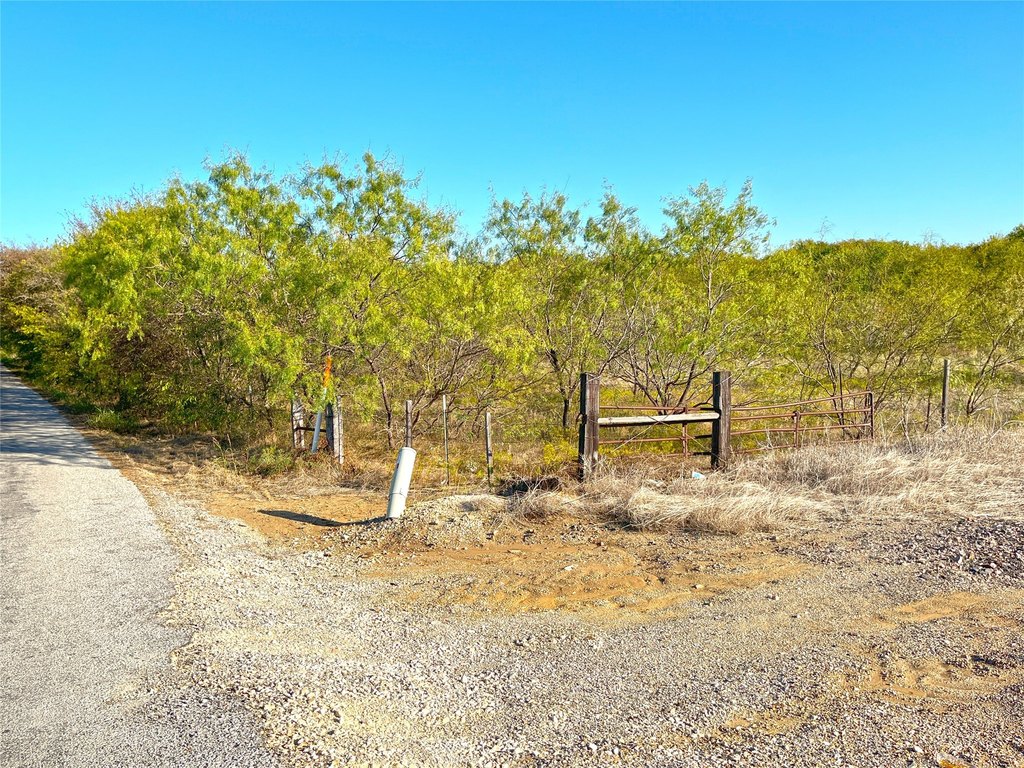
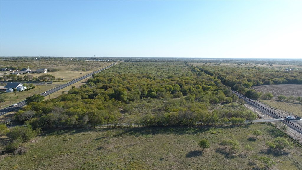
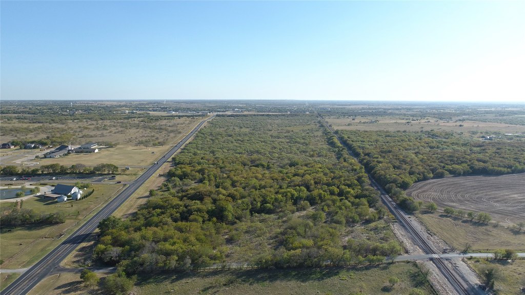
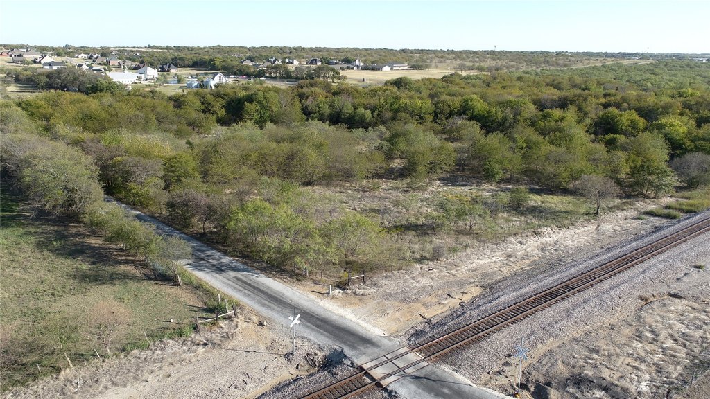
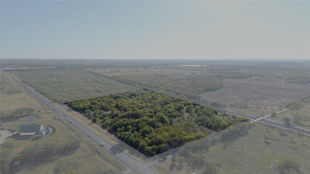
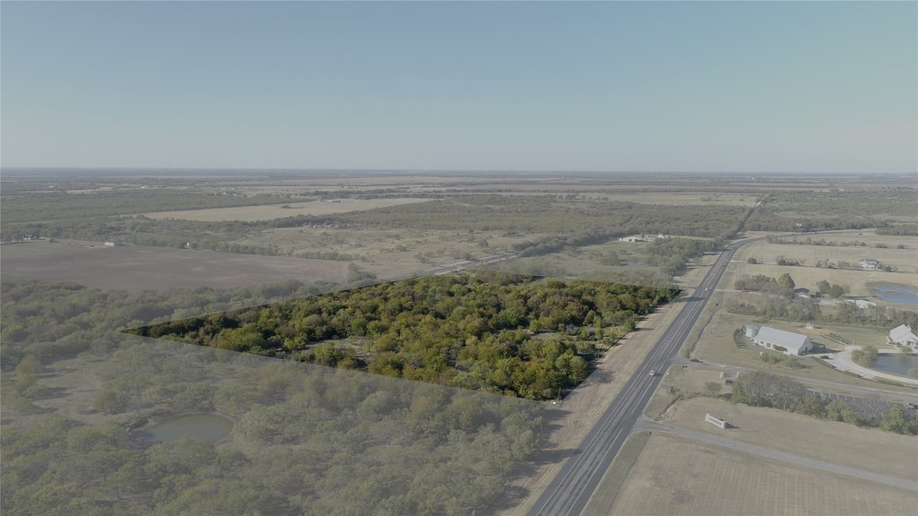
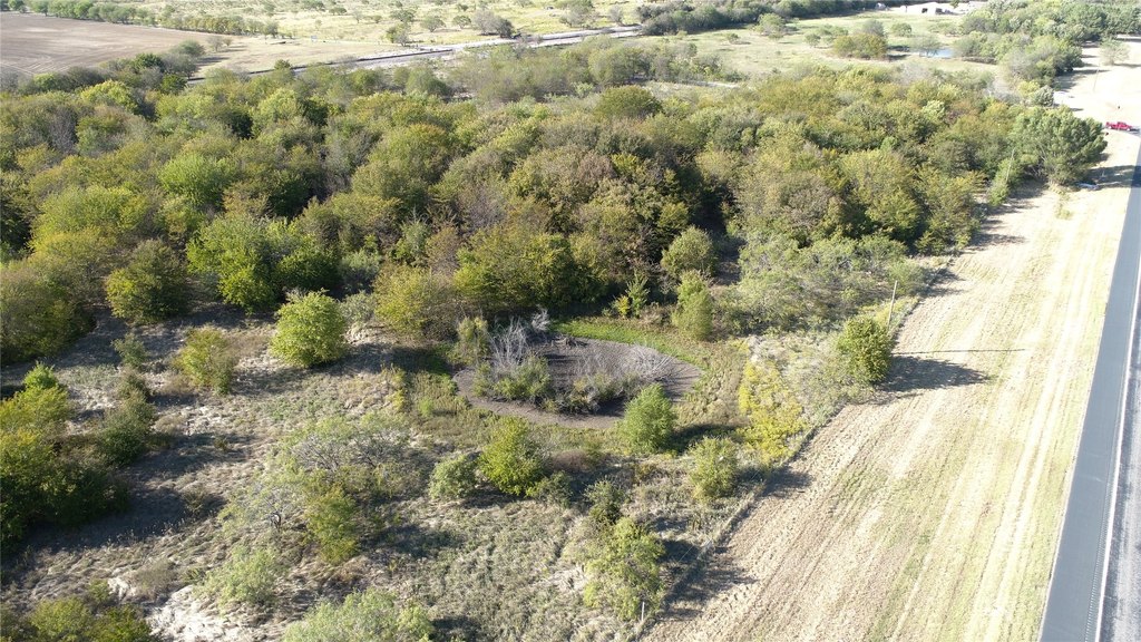
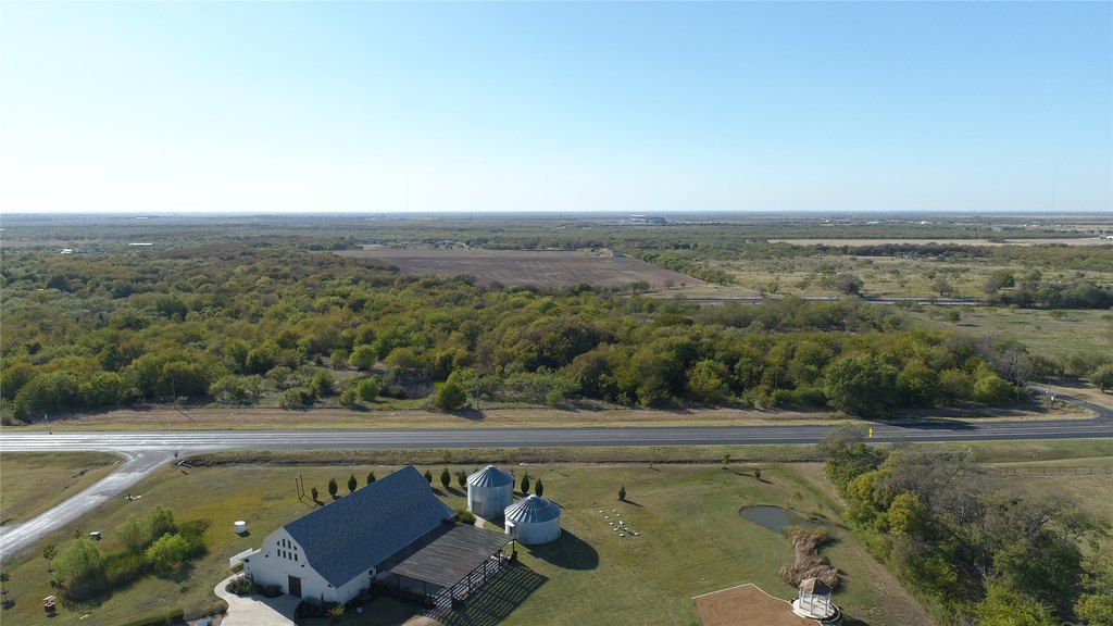
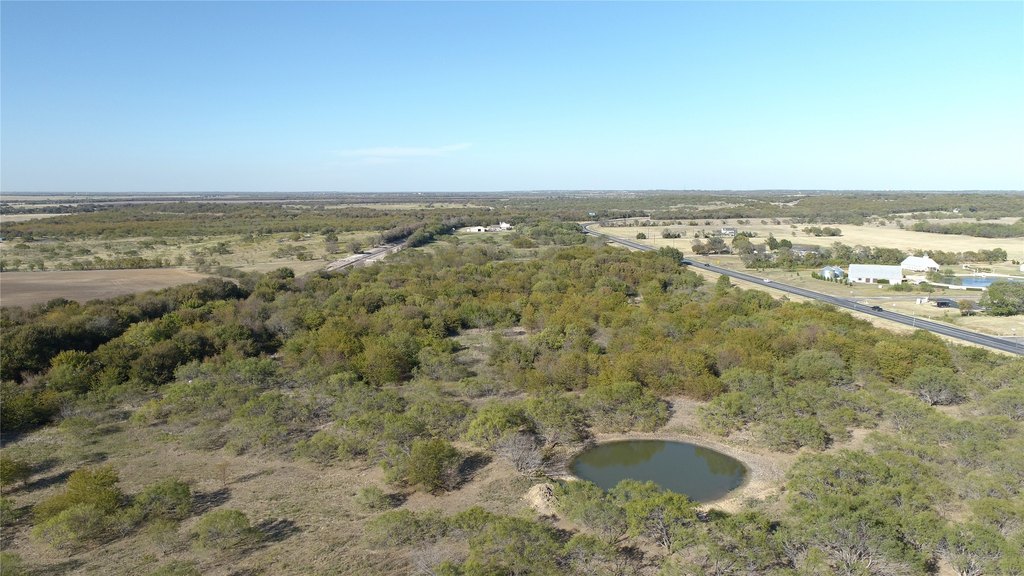
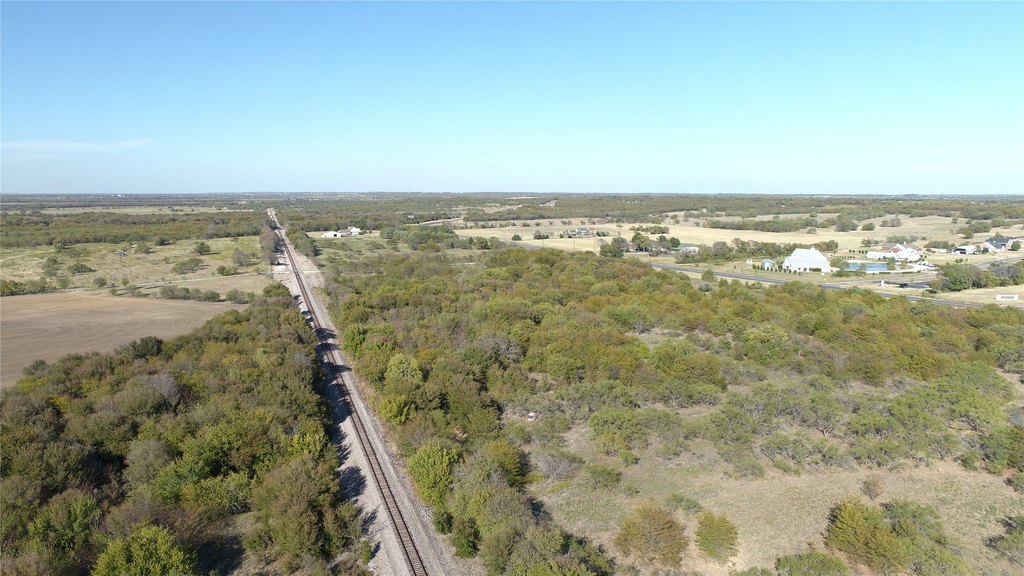
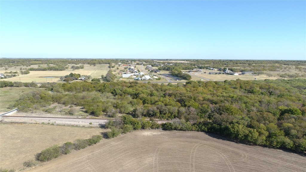
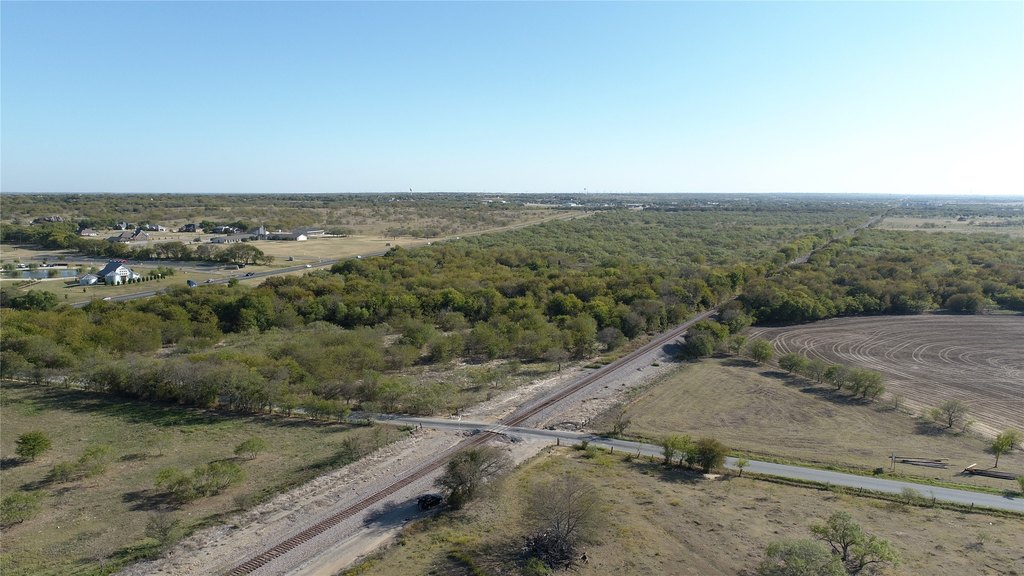
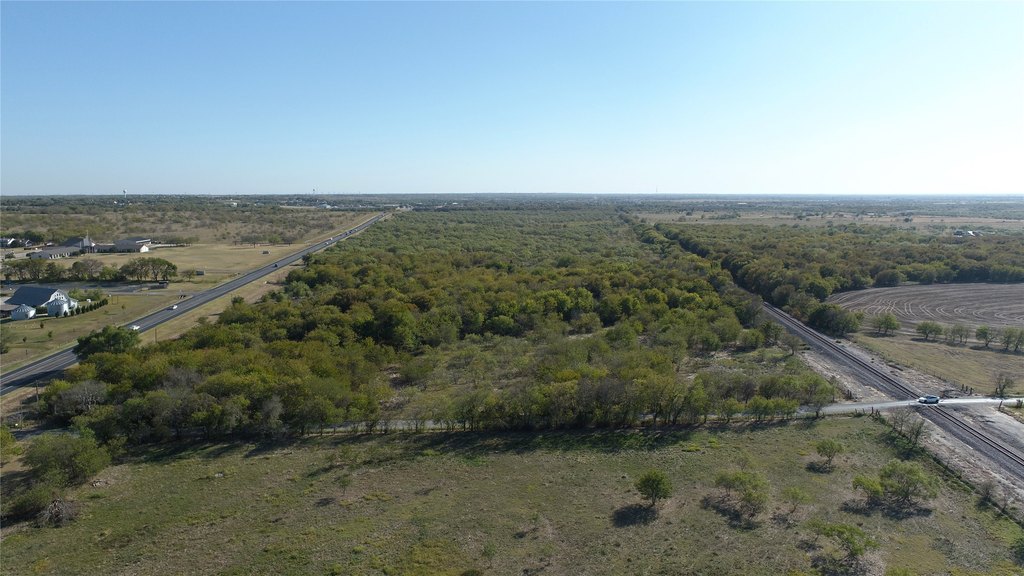
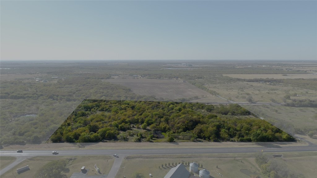
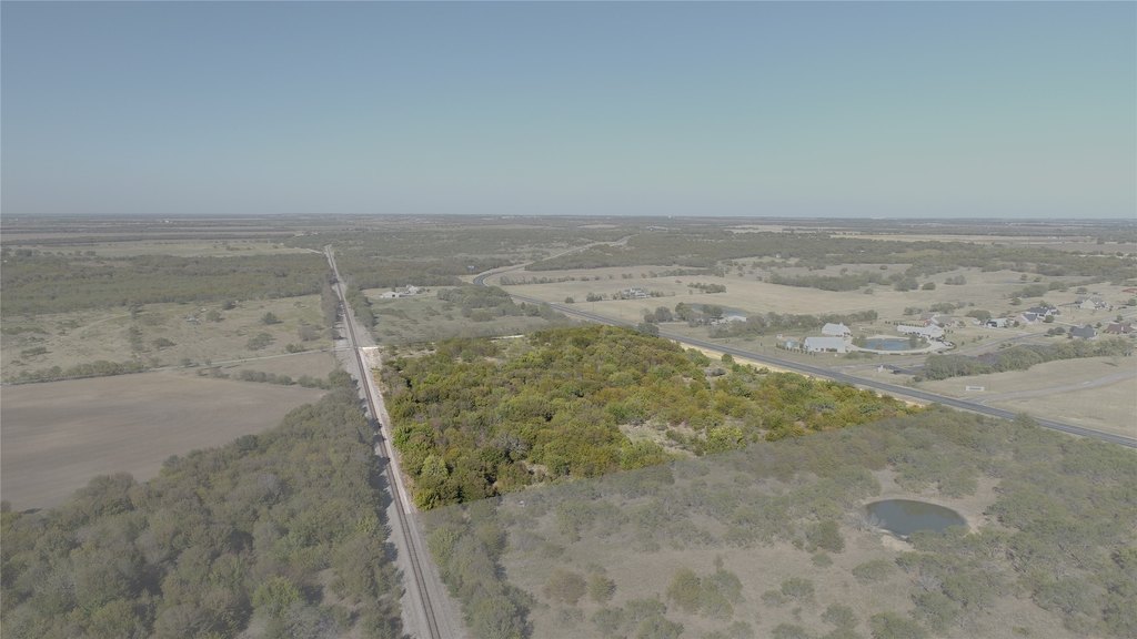
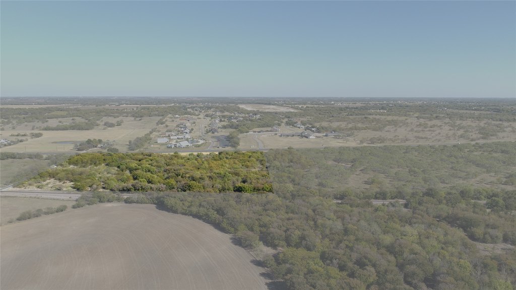
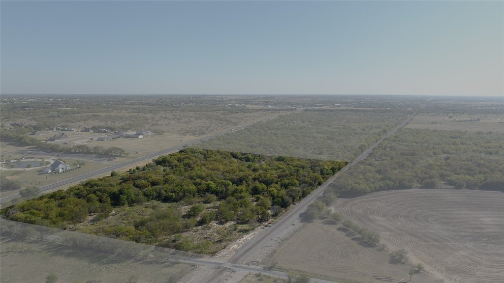
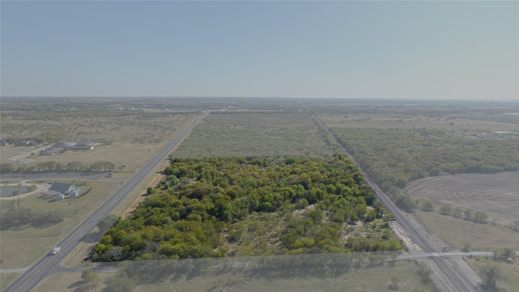
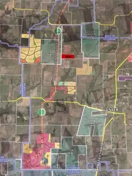
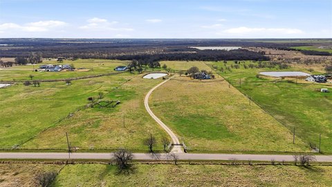
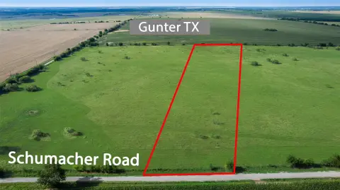
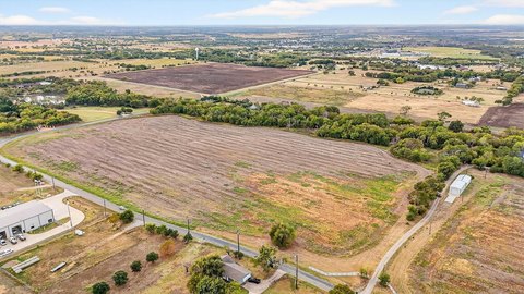
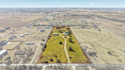
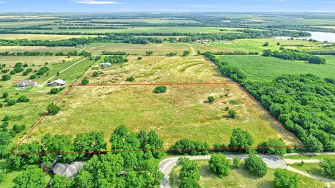
This 11-acre development tract offers a hard corner on Highway 289 with a small pond and creek, along with hardwood tree coverage. The parcel includes approximately 740 feet of frontage on Preston Road/Highway 289 and approximately 700 feet of frontage on Reed Road, providing multiple access points for future site planning. Water service is available, including an 8-inch water line on the northwest side of Reed Road and Highway 289, confirmed through Maverick Utilities, with connection requiring an under-Reed bore.
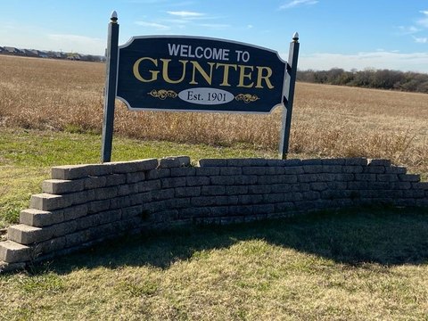
The property is located inside the city limits and is positioned a short drive north of the middle of Gunter. Buyers will want to review the specific roadway and utility conditions, since the seller notes that development planning will require confirmation of zoning, road extensions, intended usage, easements, and flood plain considerations.
For tenants, developers, and investors, the site’s combination of corner location, meaningful frontage on two roads, and on-site natural features supports a range of potential uses, including commercial development and residential or multifamily community planning. Given the variety of possible development outcomes, prospective buyers should conduct their own due diligence on governing restrictions and utility/easement requirements.
Key Highlights
- 11‑acre development tract with commercial potential on Preston Rd (Hwy 289/Preston Rd) with approx. 740 ft of frontage
- Additional access/frontage on Reed Rd with approx. 700 ft frontage at a hard corner on Hwy 289
- Inside the city limits; located a few minutes north of the middle of Gunter
Property Analytics
Location Intelligence
Current Use by Public Records
Commercial land
Similar For Sale Nearby

FAQs
What type of property is this?
Commercial land - 11-acre tract with substantial road frontage, a small pond and creek, and in-city limits for flexible commercial or residential development.
Where is this commercial land located?
The property is located at HWY 289 Gunter, TX.
What is the asking price?
The asking price for this property is $1,500,000.
What are key features of this property?
This property features: 11‑acre development tract with commercial potential on Preston Rd (Hwy 289/Preston Rd) with approx. 740 ft of frontage; Additional access/frontage on Reed Rd with approx. 700 ft frontage at a hard corner on Hwy 289; Inside the city limits; located a few minutes north of the middle of Gunter