Wooded Hunting
For Sale
$74,900
V/L McBride Road NW, Stanton, MI 48888
Land, Stanton, MI
Property SizeContact for details
Lot Size10.80 Acres
Days on Market145
Property Features for V/L McBride Road NW
General Information
Property type
Land
Property subtype
Other
Zoning description
Ag
Lot features
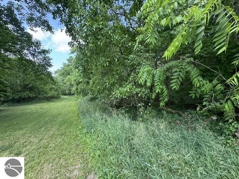
Wooded
Elementary school district
Central Montcalm
Middle school district
Central Montcalm
High school district
Central Montcalm
Directions
From Stanton...north on M66...east on McBride Rd to property on S Side of Rd.
Standard status
Active
APN
5900701500122
Lot size
10.80 Acres
Taxes and HOA fees
Tax Year
2025
Tax Description
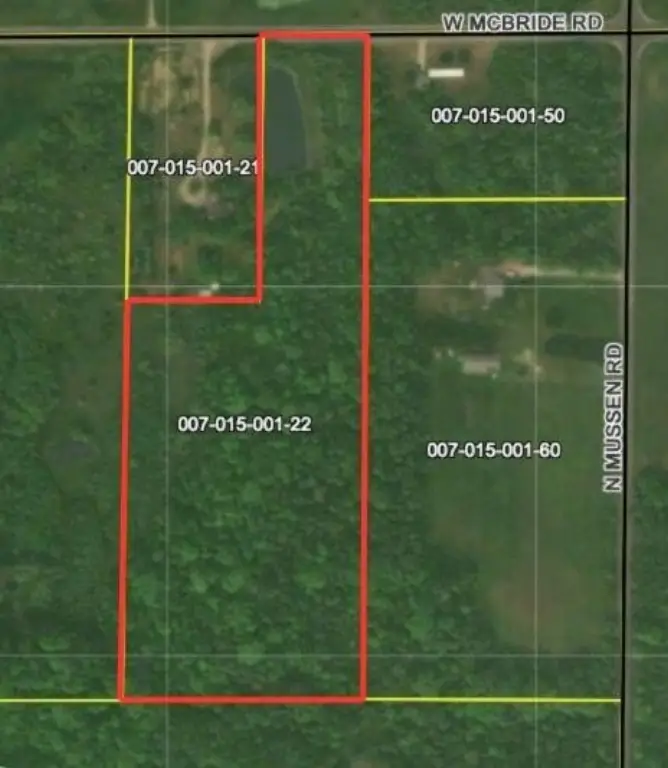
PARCEL 2: PART OF TH NE 1/4 OF THE NE 1/4 OF SEC 15; DESC AS BEG ON THE N LINE OF SD SEC; TH N 89 DEG 50' 28'' W 528 FT FROM THE NE COR OF SD SEC; TH S 01 DEG 09' 02'' W 1320FT; TH N 89 DEG 50' 28'' W 462 FT; TH N 01 DEG 09' 02'' E 795 FT; TH S 89 DEG 50' 28'' E 262 FT; TH N 01 DEG 09' 02'' E 525 FT; TH S 89 DEG 50' 28'' E 200 FT TO P OF BEG SEC 15 T11N R7W
Tax Annual Amount
714
Legal Description
PARCEL 2: PART OF TH NE 1/4 OF THE NE 1/4 OF SEC 15; DESC AS BEG ON THE N LINE OF SD SEC; TH N 89 DEG 50' 28'' W 528 FT FROM THE NE COR OF SD SEC; TH S 01 DEG 09' 02'' W 1320FT; TH N 89 DEG 50' 28'' W 462 FT; TH N 01 DEG 09' 02'' E 795 FT; TH S 89 DEG 50' 28'' E 262 FT; TH N 01 DEG 09' 02'' E 525 FT; TH S 89 DEG 50' 28'' E 200 FT TO P OF BEG SEC 15 T11N R7W
Utilities
Utilities
Electricity Available
Water front features
Pond
Water front
1
Listing Agency:
Clarity Realty Allied
(616) 835-9012
Listed By:
James R Perry
(616) 835-8454
Added: May 15
Changed: Sep 12
Last Checked: Oct 6 at 4:06AM
MLS# 26022882
Copyright © 2026 Michigan Regional Information Center, LLC. All rights reserved. All information provided by the listing agent/broker is deemed reliable but is not guaranteed and should be independently verified.
Investment Insights
Based on property information with market context.
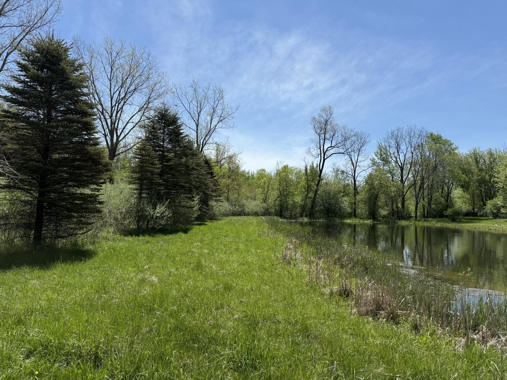
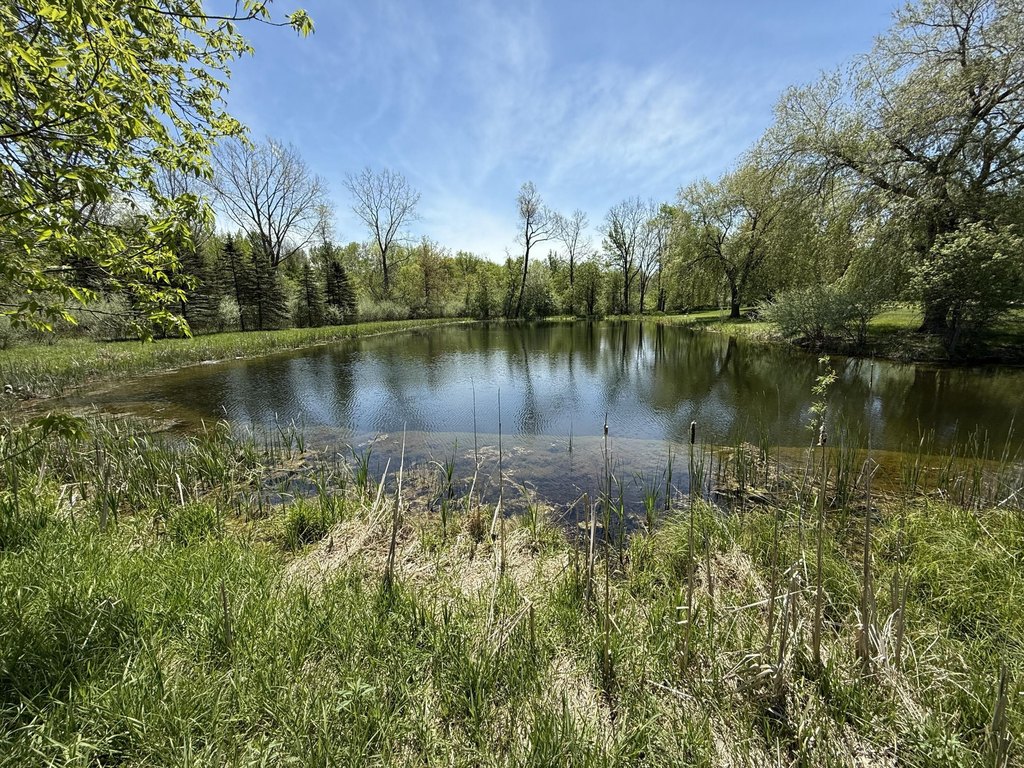
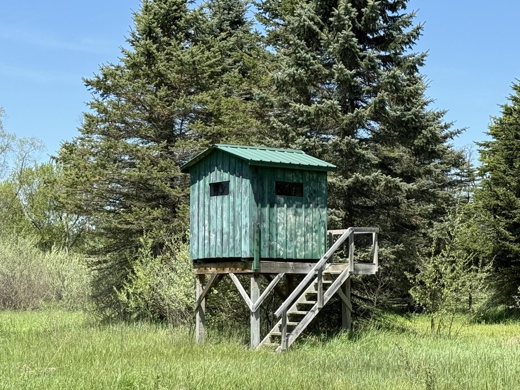
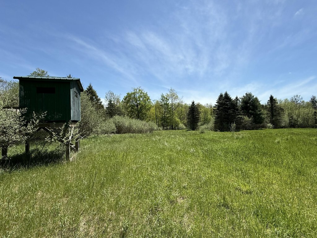
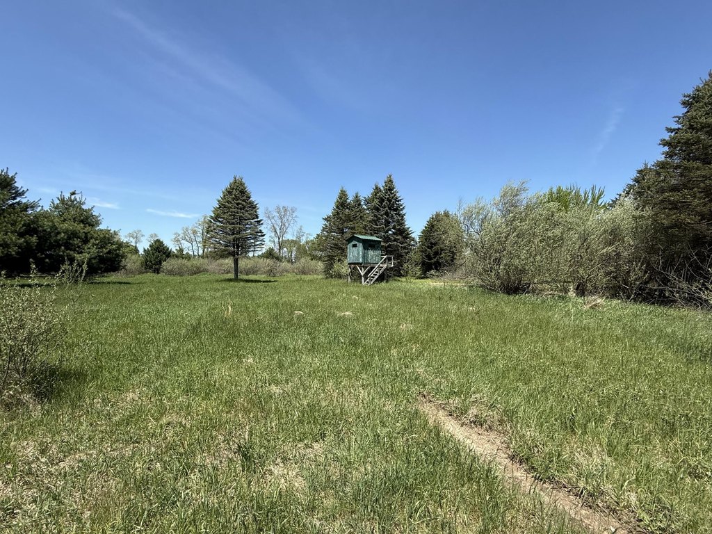
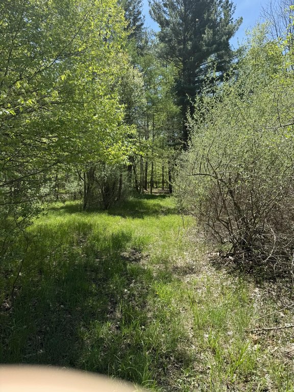
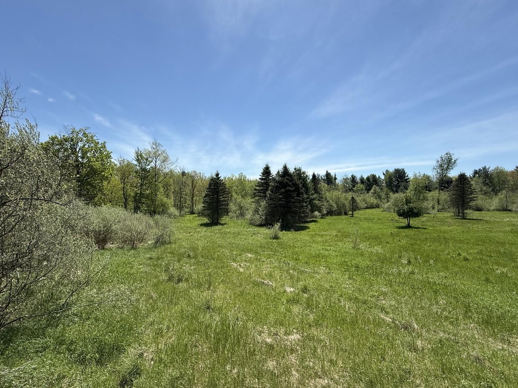
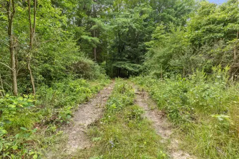
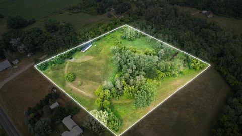
This 10.8-acre hunting property consists mostly of wooded land with frontage along the east side of a stocked fish pond. A creek crosses the parcel, and higher areas are distributed throughout the tract. The property is positioned for recreational use and hunting, with deer reported as abundant. Electricity is available, and the source notes possible use for a tiny house retreat.
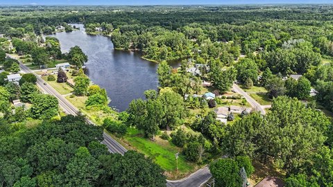
The parcel is located at V/L McBride Road NW in Stanton, Michigan, within Montcalm County. Access to the higher ground is not easy because of the creek's path through the property, so an appointment is requested before walking the land.
The parcel is located at V/L McBride Road NW in Stanton, Michigan, within Montcalm County. Access to the higher ground is not easy because of the creek's path through the property, so an appointment is requested before walking the land.
Key Highlights
- 10.8 acres of mostly wooded hunting land
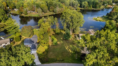
- Frontage along the east side of a stocked fish pond
- Creek runs through the property
Property Analytics
Current Use
Location Intelligence
Trade Area within ½ mile
1
Businesses Nearby
Explore this area
Business Placement
Demographics for 48888, MI
6,258
Population
2,928
Households
2.1
Avg Household Size
45
Median Age
13%
College-Educated
89%
High-School Grad
85.2 sq mi
ZIP Area
73
Density / Sq Mi
$55,954
Median Household Income
$36,164
Median Earnings
$899
Median Rent
$147,300
Median Home Value

Questions? Ask Rey
Realmo’s AI knows this listing — price, zoning, demand, history. Ask anything.



Frequently Asked Questions
What type of property is this?
Hunting land - Mostly wooded recreational acreage with pond frontage, an internal creek, and electricity available.
Where is this hunting land located?
The property is located at V/L McBride Road NW Stanton, MI.
What is the asking price?
The asking price for this property is $74,900.
What are key features of this property?
This property features: 10.8 acres of mostly wooded hunting land; Frontage along the east side of a stocked fish pond; Creek runs through the property



