Timberland Tract with Interior







For Sale
$89,900
B Lookout Lane, Springfield, ME 04487
LAND - Springfield, ME
Property SizeContact for details
Lot Size84.00 Acres
Days on Market28
Property Features for B Lookout Lane
General Information
Property type
Land
Property subtype
Other
Zoning
Shoreland
Lot features
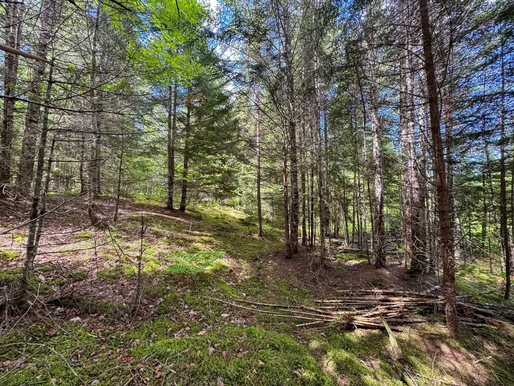
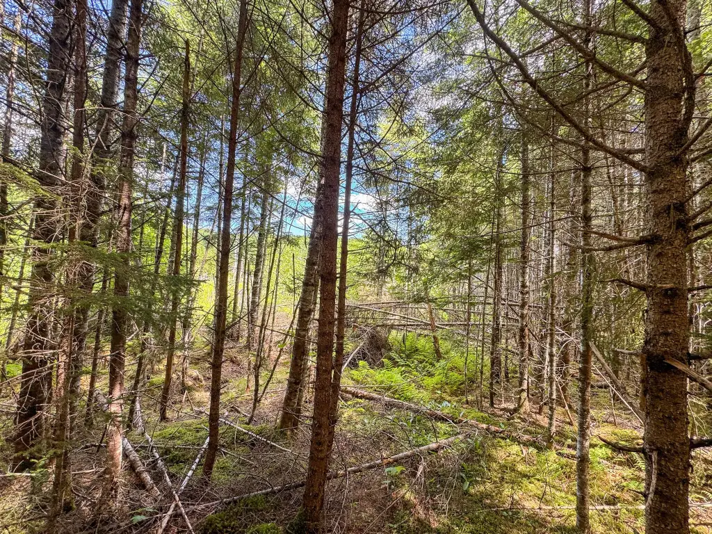
Rolling/ Sloping, Wooded, Rural
Standard status
Active
Lot size
84.00 Acres
Taxes and HOA fees
Tax Year
2025
Tax Annual Amount
940
Utilities
Sewer type
Septic Needed
Water source
Well Needed
Water front features
Stream
Water front
1
Listing Agency:
United Country Lifestyle Properties of Maine
(207) 794-6164
Listed By:
Philip McPhail II
(207) 794-6164
Added: Jul 10
Last Checked: Aug 6 at 2:06PM
MLS# 1668072
Copyright © 2026 Maine Listings. All rights reserved. All information provided by the listing agent/broker is deemed reliable but is not guaranteed and should be independently verified.
Investment Insights
Based on property information with market context.
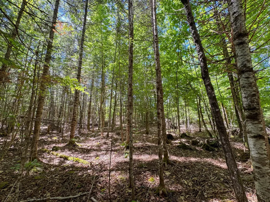
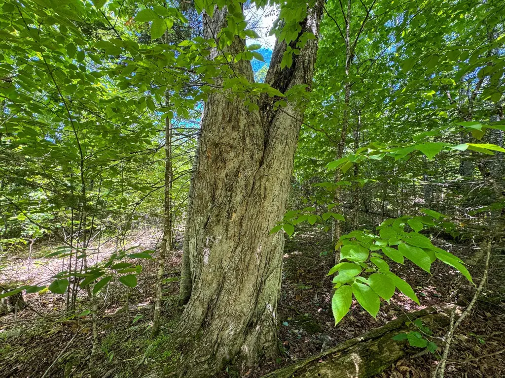
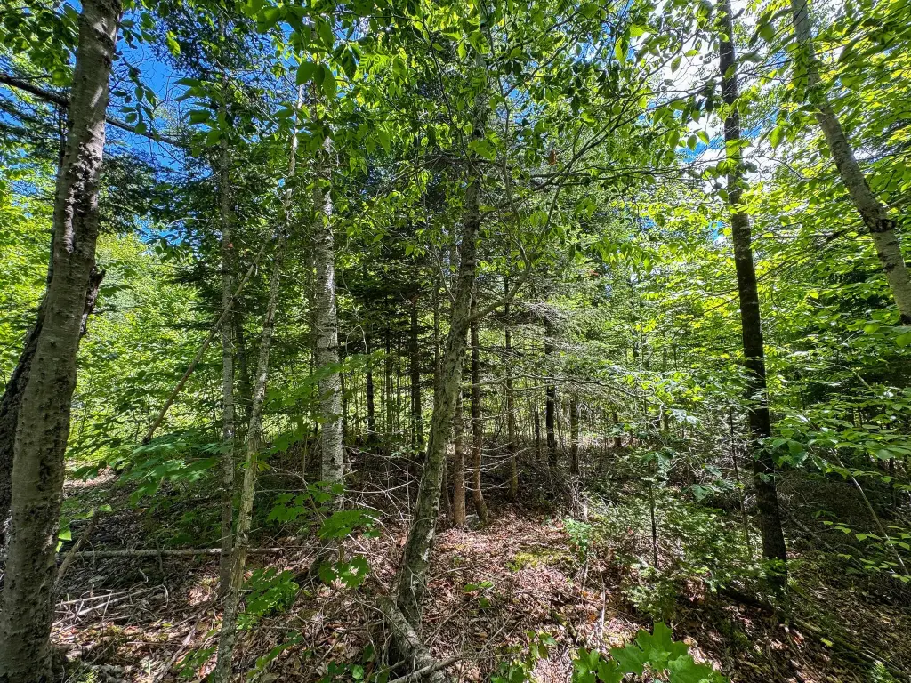
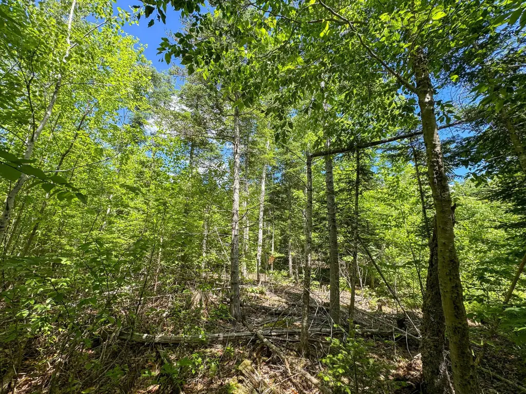
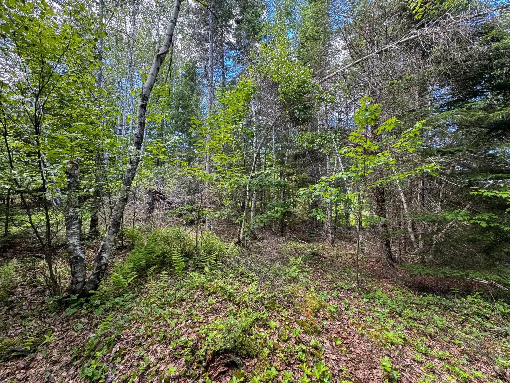
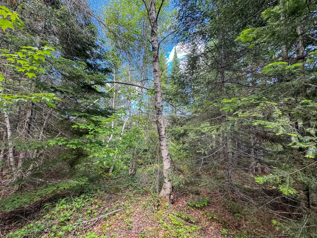
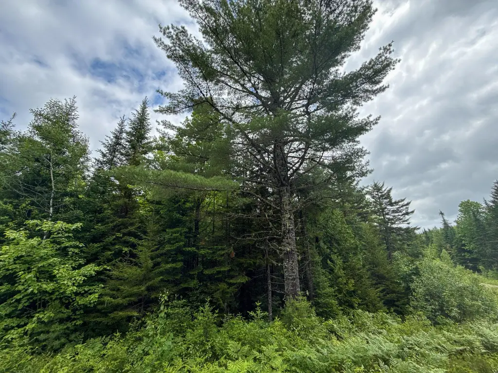
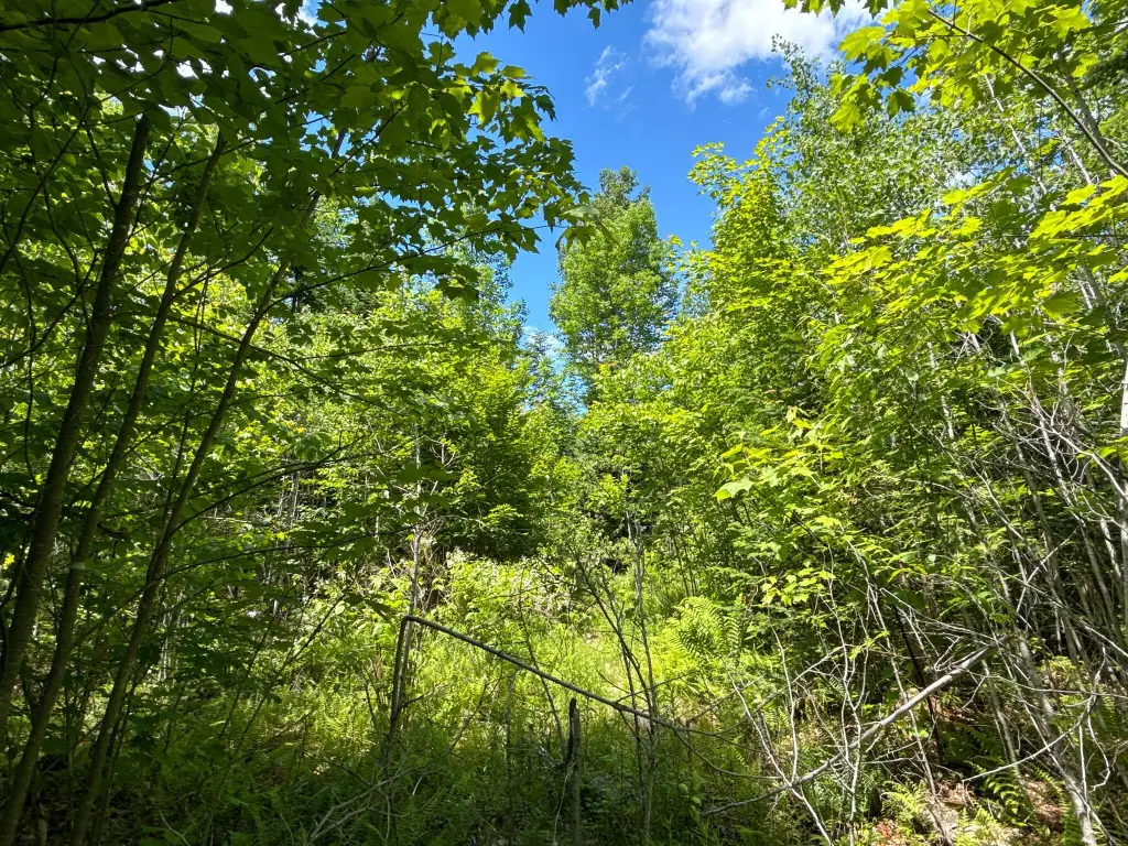
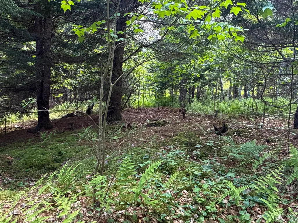
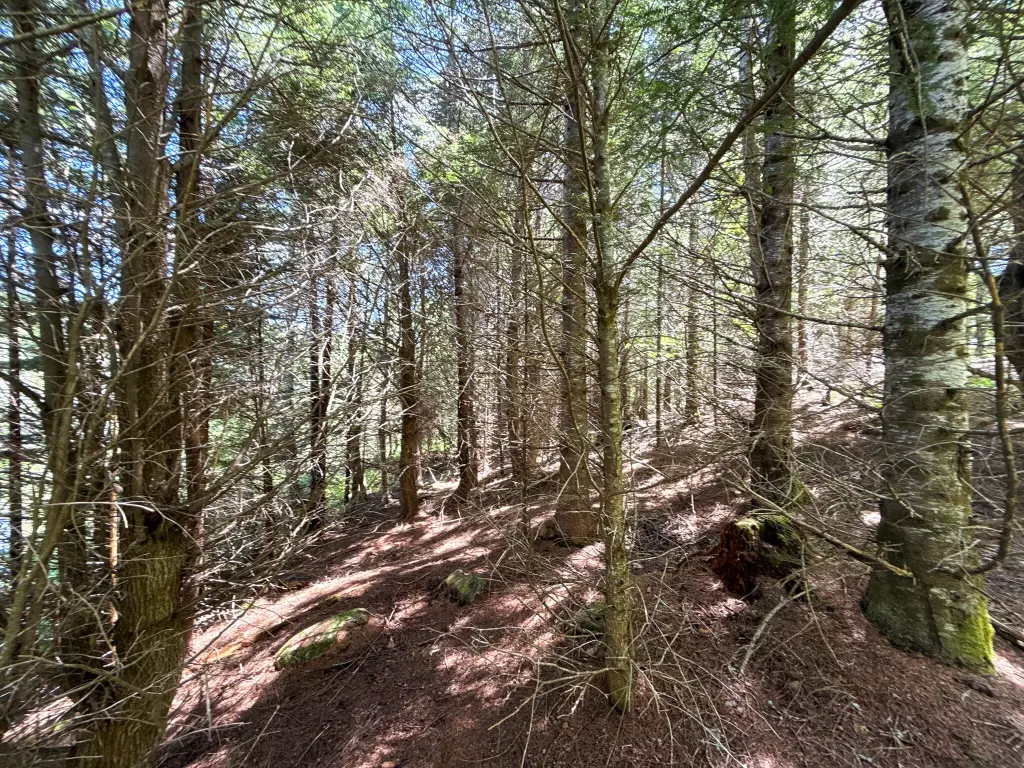
Lot B on Lookout Lane in Springfield is an approximately 84-acre tract of surveyed timberland offered for sale under Shoreland zoning. A 2020 survey defines parcel boundaries with corner markers and mapped roads, helping provide clarity on what’s included.
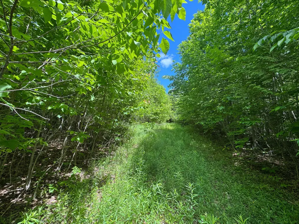
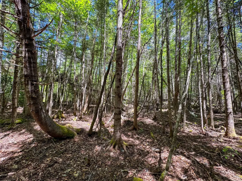
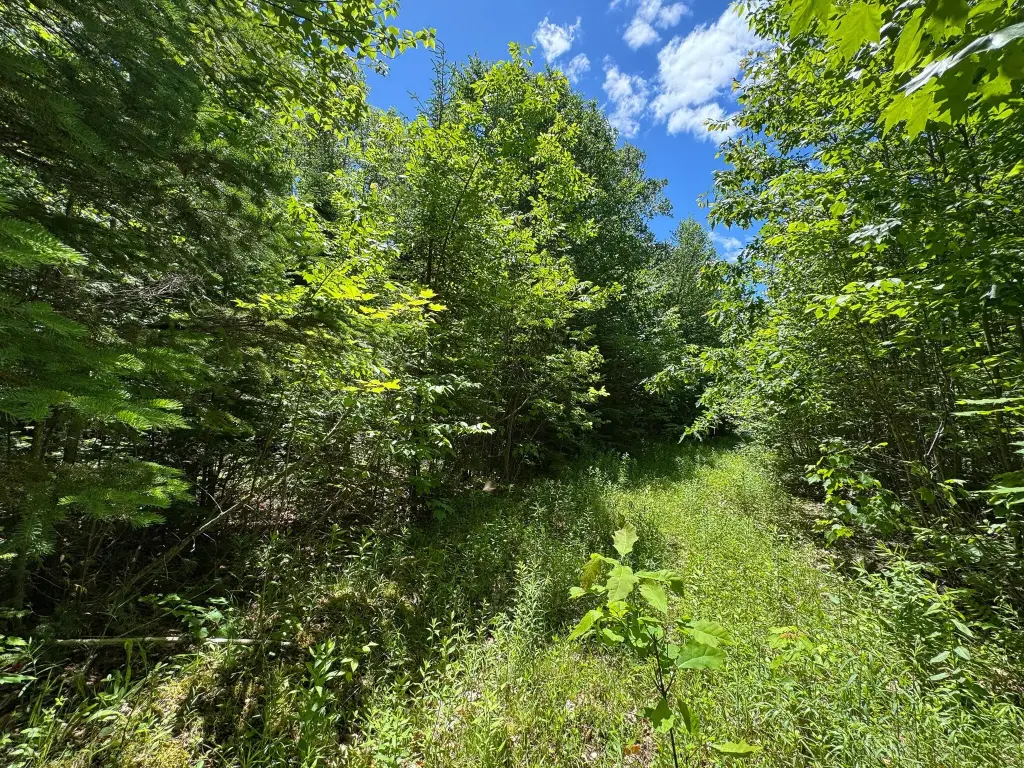
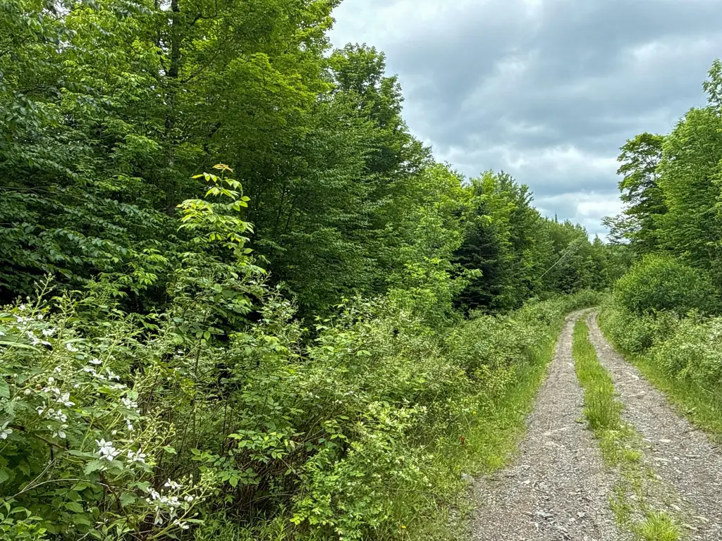
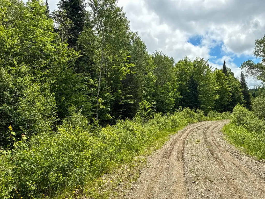
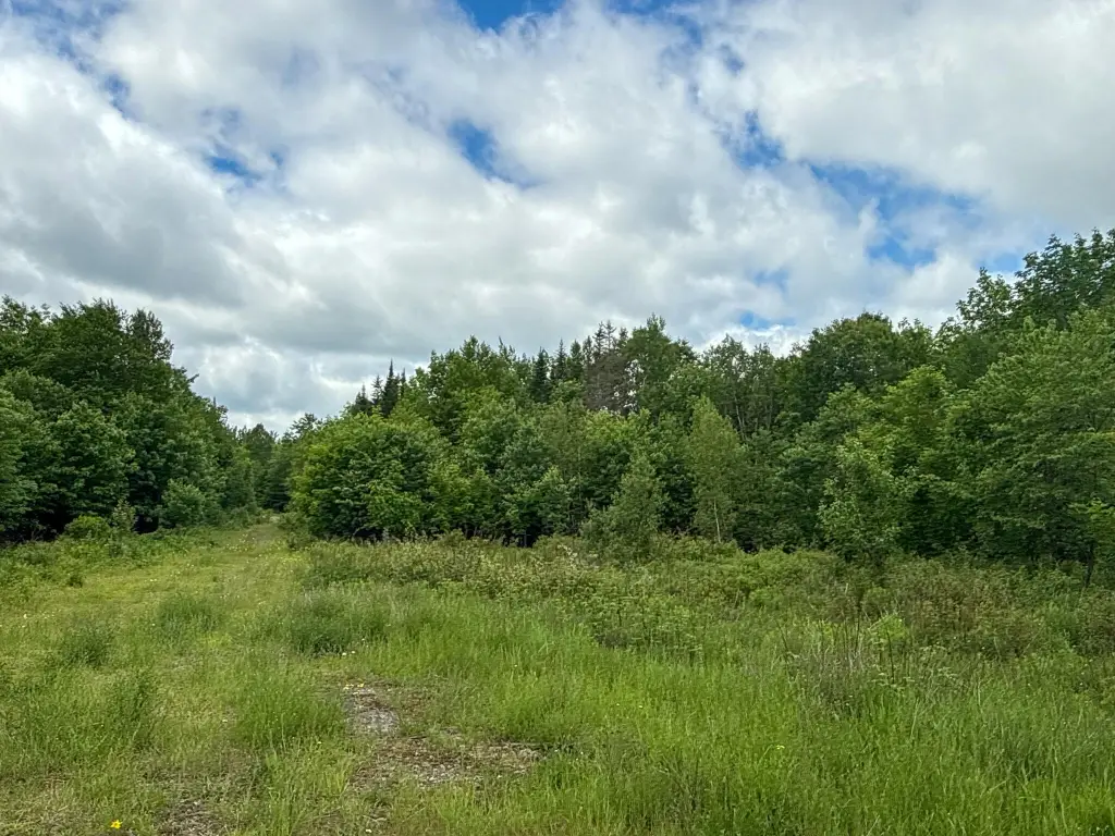
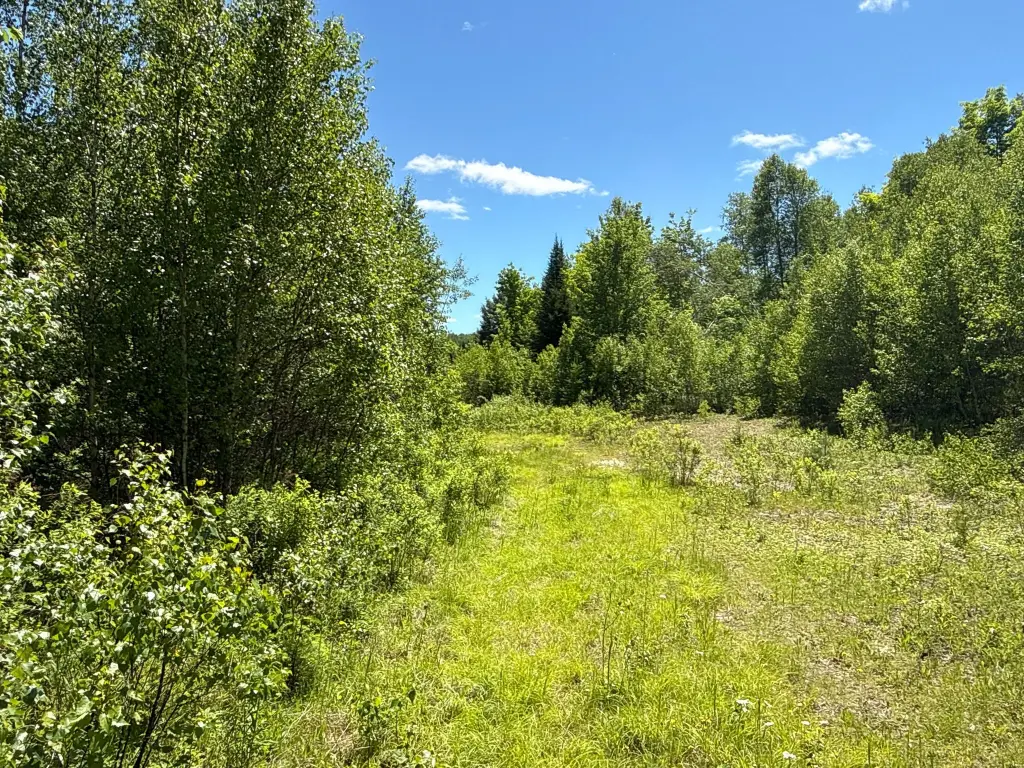
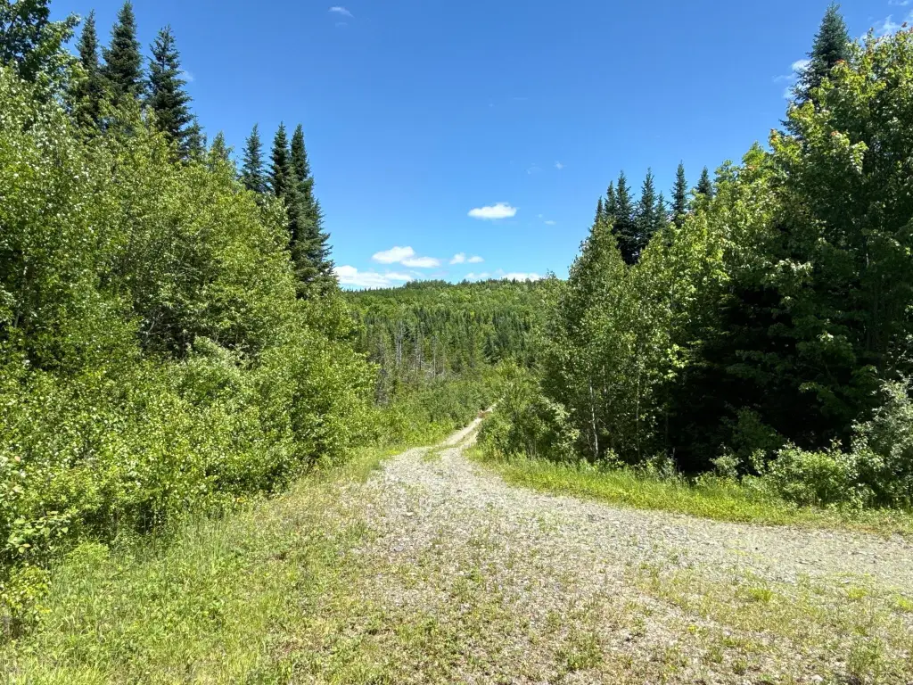
The property includes approximately 4,000 feet of interior roads, designed to allow access to multiple parts of the parcel by vehicle, ATV, or side-by-side. Terrain elevation ranges from approximately 600 to 720 feet above sea level, with higher ground described as upland forest and lower areas featuring drainage corridors.
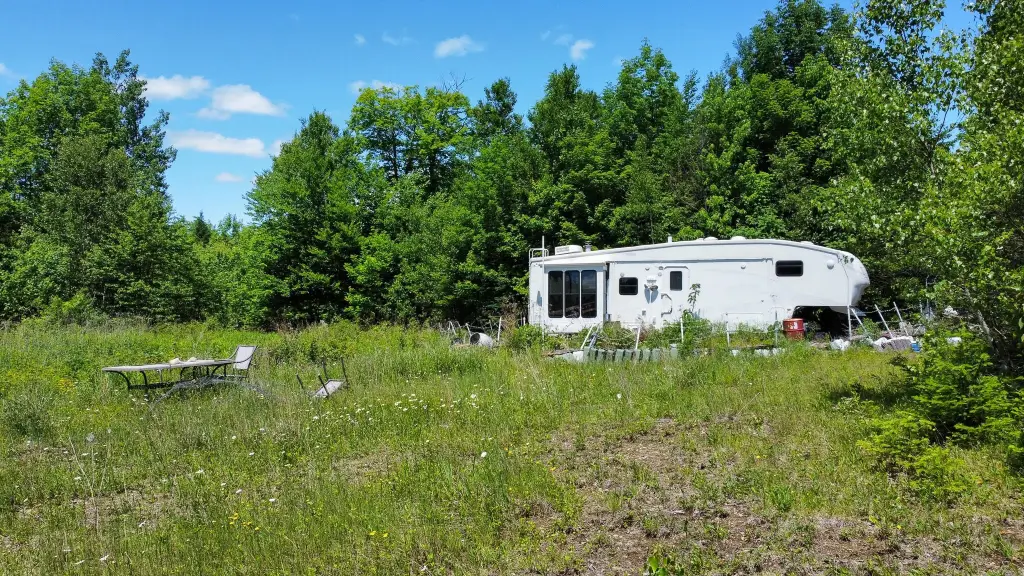
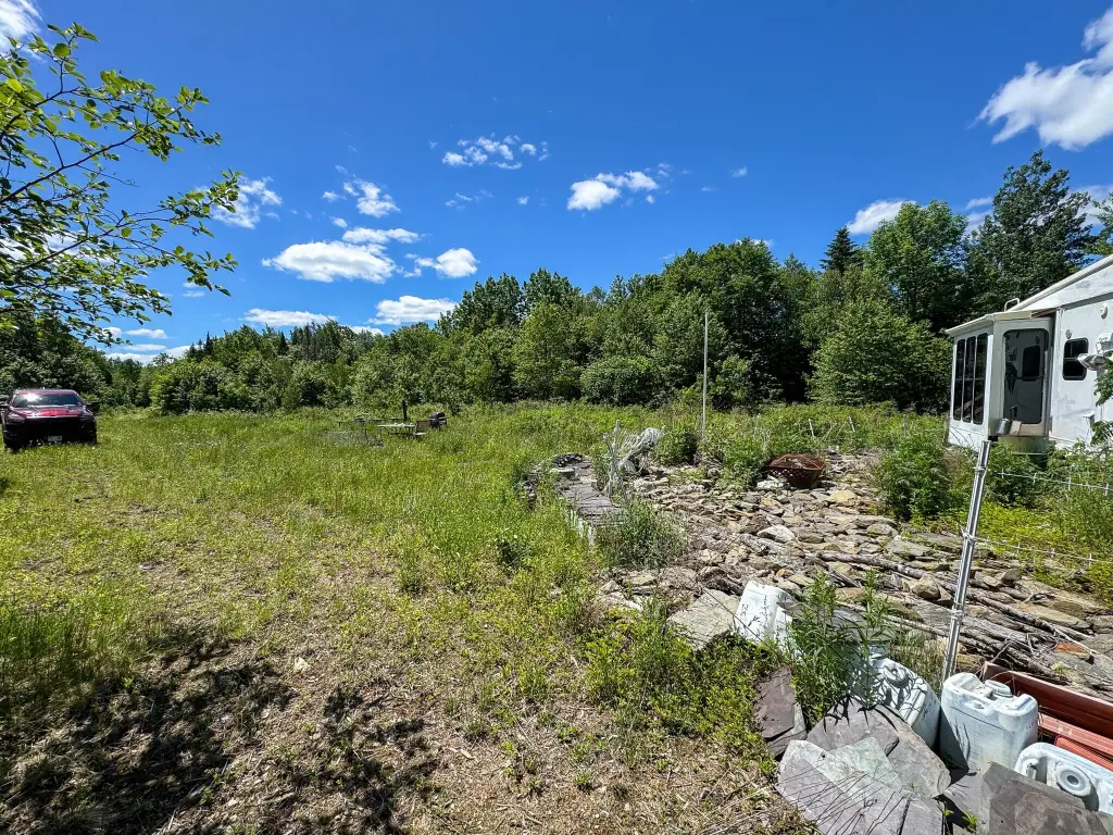
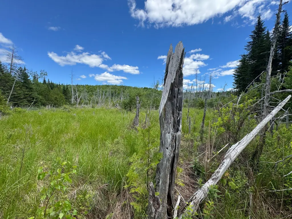
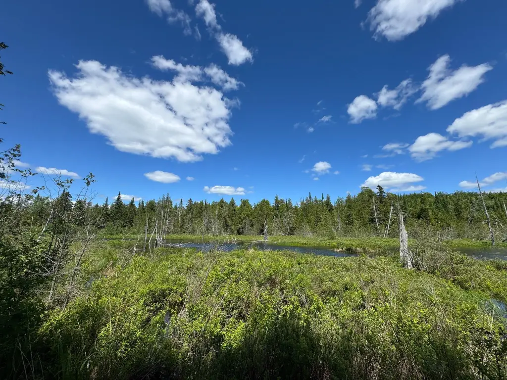
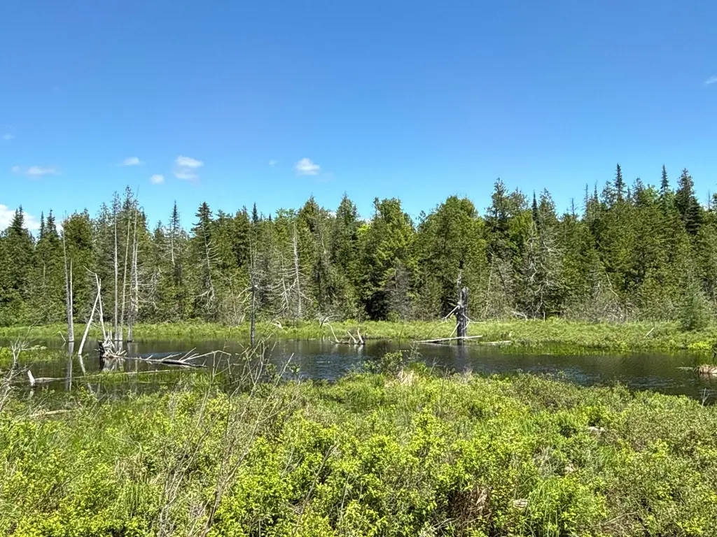
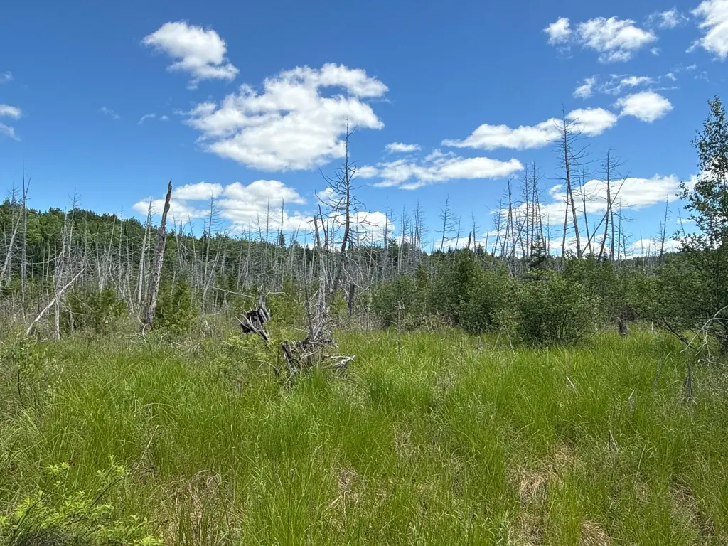
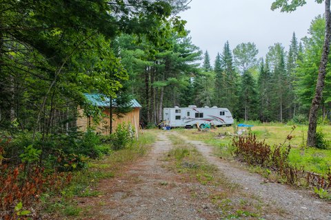
Natural features include a small brook and a series of beaver ponds forming the headwaters of Bog Brook. Soil mapping indicates Thorndike silt loams on higher ground, with Monarda and Burnham soils near drainage corridors and wetland areas. Multiple potential building sites are located throughout the parcel, including several along the road system and another near the end of the road where a camper is currently situated. The parcel is also described as being a few miles from the West Grand Lake Chain.
The property includes approximately 4,000 feet of interior roads, designed to allow access to multiple parts of the parcel by vehicle, ATV, or side-by-side. Terrain elevation ranges from approximately 600 to 720 feet above sea level, with higher ground described as upland forest and lower areas featuring drainage corridors.
Natural features include a small brook and a series of beaver ponds forming the headwaters of Bog Brook. Soil mapping indicates Thorndike silt loams on higher ground, with Monarda and Burnham soils near drainage corridors and wetland areas. Multiple potential building sites are located throughout the parcel, including several along the road system and another near the end of the road where a camper is currently situated. The parcel is also described as being a few miles from the West Grand Lake Chain.
Key Highlights
- 84± acre surveyed timberland lot on Lookout Lane in Springfield, Penobscot County
- Waterfront feature: stream, with a small brook and beaver ponds forming headwaters of Bog Brook
- Road access includes about 4,000 ft of interior roads for vehicle, ATV, or side‑by‑side access
Property Analytics
Current Use
Location Intelligence
Trade Area within ½ mile
4
Businesses Nearby
Explore this area
Business Placement
Demographics for 04487, ME
778
Population
987
Households
0.8
Avg Household Size
57
Median Age
11%
College-Educated
92%
High-School Grad
226.7 sq mi
ZIP Area
3
Density / Sq Mi
$41,136
Median Household Income
$27,794
Median Earnings
$87,100
Median Home Value

Questions? Ask Rey
Realmo’s AI knows this listing — price, zoning, demand, history. Ask anything.



Frequently Asked Questions
What type of property is this?
Hunting land - A surveyed timberland parcel with mapped access roads, brook and beaver pond headwaters, and multiple potential building sites.
Where is this hunting land located?
The property is located at B Lookout Lane Springfield, ME.
What is the asking price?
The asking price for this property is $89,900.
What are key features of this property?
This property features: 84± acre surveyed timberland lot on Lookout Lane in Springfield, Penobscot County; Waterfront feature: stream, with a small brook and beaver ponds forming headwaters of Bog Brook; Road access includes about 4,000 ft of interior roads for vehicle, ATV, or side‑by‑side access


