Waterfront Land for Vacation
For Sale
$95,000
2.09 acres Burnt Ridge Road, Shirley, AR 72153
LAND - Shirley, AR
Property SizeContact for details
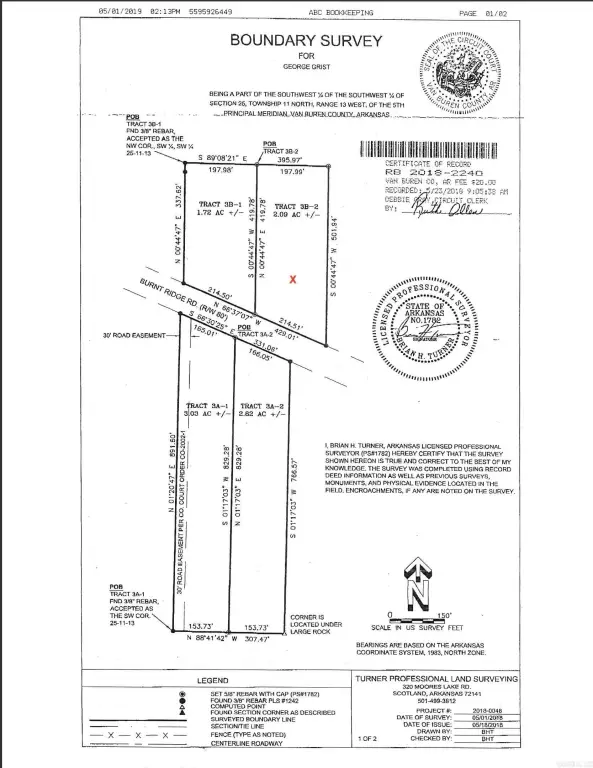
Lot Size2.09 Acres
Days on Market356
Property Features for 2.09 acres Burnt Ridge Road
General Information
Property type
Land
Property subtype
Other
Subdivision
Metes & Bounds
Lot features
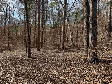
Sloped, Level, Rural Property, Resort Property, Wooded, Cleared, River/ Lake Area
Directions
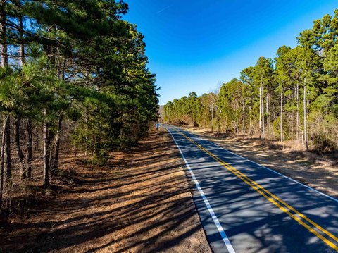
From Sonic in Greers Ferry, go North on Highway 16/92 for 10 miles, turn left onto Highway 330, then right onto The New Road and follow to left onto Burnt Ridge Road. Property on the left just before South Fork Recreation Area.
Standard status
Active
Lot size
2.09 Acres
Taxes and HOA fees
Tax Description
SW SW 25-11-13
Tax Annual Amount
100
Legal Description
SW SW 25-11-13
Utilities
Water front
1
Listing Agency:
Brawley & Associates Real Estate
(501) 206-6643
Listed By:
Debbi Brawley
(501) 206-6643
Added: Aug 30, 2025
Changed: Jul 29
Last Checked: Aug 20 at 5:06PM
MLS# 25034871
Copyright © 2026 Cooperative Arkansas Realtors Multiple Listing Service. All rights reserved. All information provided by the listing agent/broker is deemed reliable but is not guaranteed and should be independently verified.
Investment Insights
Based on property information with market context.
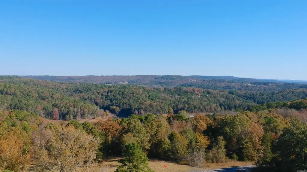
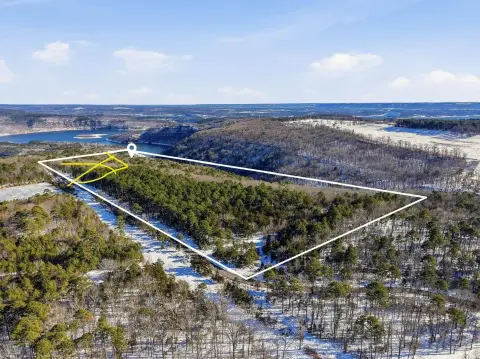
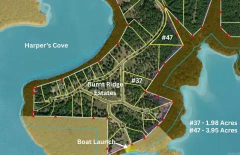
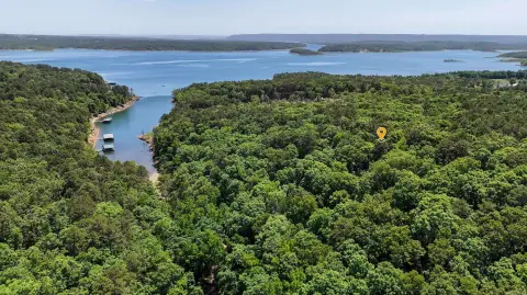
This waterfront land offering provides a buildable site on 2.09 acres, with power and water available at the road. The lot is marked in red “X” on the photo and plat, and mineral rights do not convey.
The property is described as less than 1/2 mile from the South Fork boat ramp, placing it within minutes of water access.
Per the deed restrictions, mobile homes are not permitted, homes under 1,000 square feet are not permitted, and commercial storage buildings are prohibited. The restrictions should be reviewed carefully prior to purchase.
The property is described as less than 1/2 mile from the South Fork boat ramp, placing it within minutes of water access.
Per the deed restrictions, mobile homes are not permitted, homes under 1,000 square feet are not permitted, and commercial storage buildings are prohibited. The restrictions should be reviewed carefully prior to purchase.
Key Highlights
- Building site less than 1/2 mile from the South Fork boat ramp
- Power and water available at the road
- Deed restrictions: no mobile homes
Property Analytics
Current Use
Lease Details
Yes
Utilities to site
Location Intelligence
Trade Area within ½ mile
2
Businesses Nearby
Explore this area
Business Placement
Demographics for 72153, AR
2,527
Population
1,964
Households
1.3
Avg Household Size
51
Median Age
9%
College-Educated
70%
High-School Grad
100.8 sq mi
ZIP Area
25
Density / Sq Mi
$49,561
Median Household Income
$21,858
Median Earnings
$124,000
Median Home Value

Questions? Ask Rey
Realmo’s AI knows this listing — price, zoning, demand, history. Ask anything.

Frequently Asked Questions
What type of property is this?
Waterfront Land - Waterfront land with power and water at the road, near the South Fork boat ramp, subject to deed restrictions.
Where is this waterfront land located?
The property is located at 2.09 acres Burnt Ridge Road Shirley, AR.
What is the asking price?
The asking price for this property is $95,000.
What are key features of this property?
This property features: Building site less than 1/2 mile from the South Fork boat ramp; Power and water available at the road; Deed restrictions: no mobile homes