
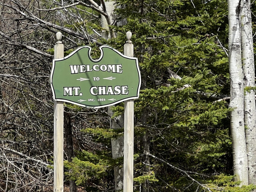
Shin Pond Road lot 2-18, Mount Chase, ME 04765
- Added:
- Jun 8, 2026
- Days on Market:
- 20
- Last Refresh:
- Jun 27 at 9:06 pm
Property Features for Shin Pond Road lot 2-18
General Information
- Property type
- Land
- Property subtype
- Other
- Zoning
- rural
- Pets allowed
- No
- Standard status
- Active
- Lot size
- 484.00 Acres
Taxes and HOA fees
- Tax Year
- 2025
- Tax Annual Amount
- 2127
Utilities
- Sewer type
- Septic Needed
- Water source
- Well Needed
- Water front features
- Stream
- Water front
- 1
Listing agent Richard Theriault (207) 731-9902
Listing office Keller Williams Realty 23 Water Street Ste 402, Portland, ME (207) 879-9800
Listing date Jun 8, 2026
Copyright © 2026 Maine Listings. All rights reserved. All information provided by the listing agent/broker is deemed reliable but is not guaranteed and should be independently verified.
HighLights
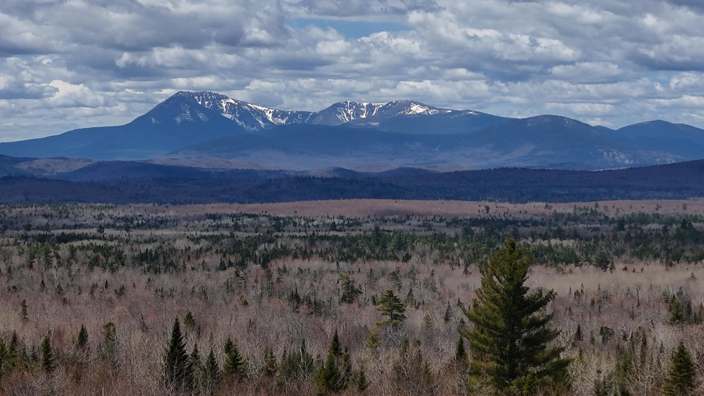
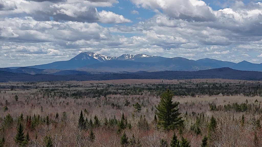
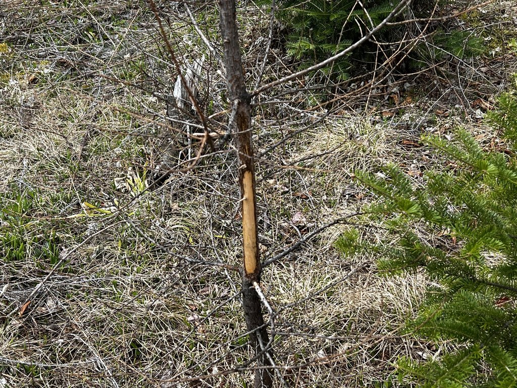
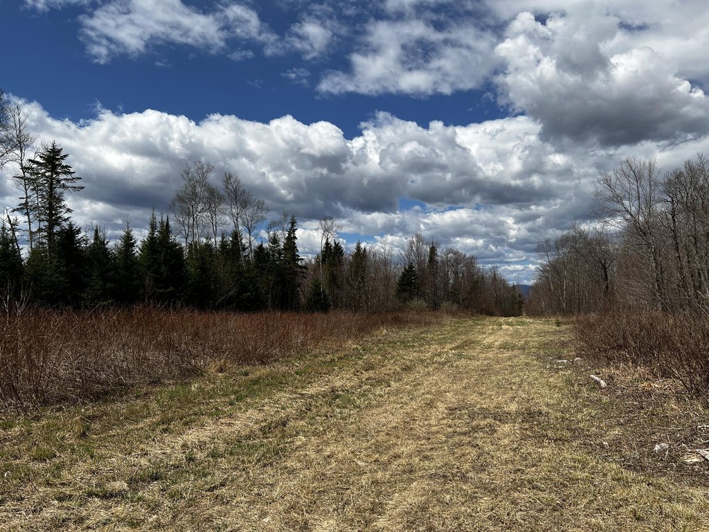
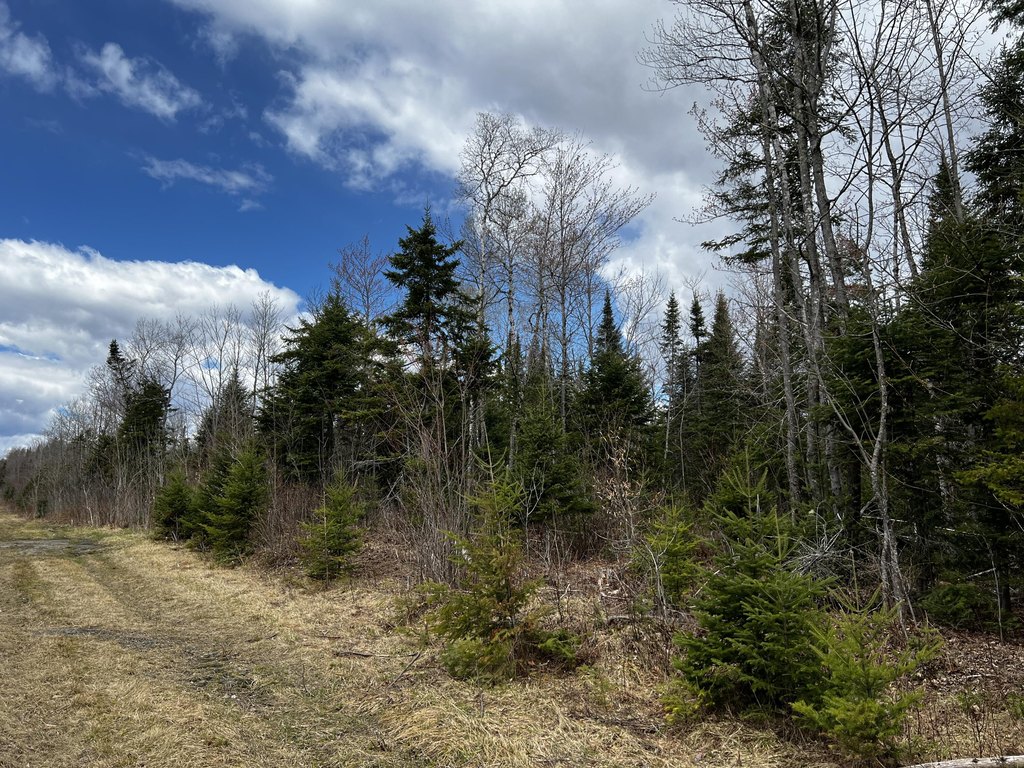
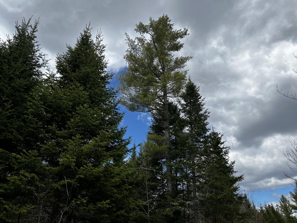
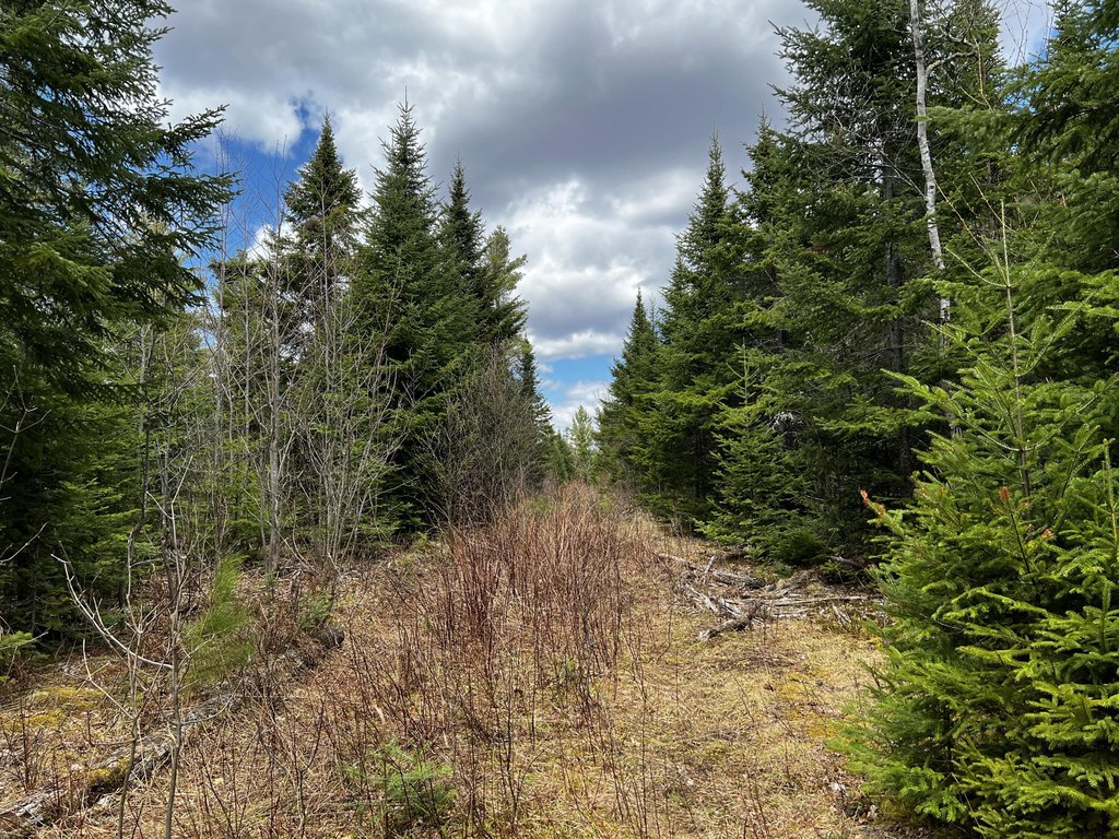
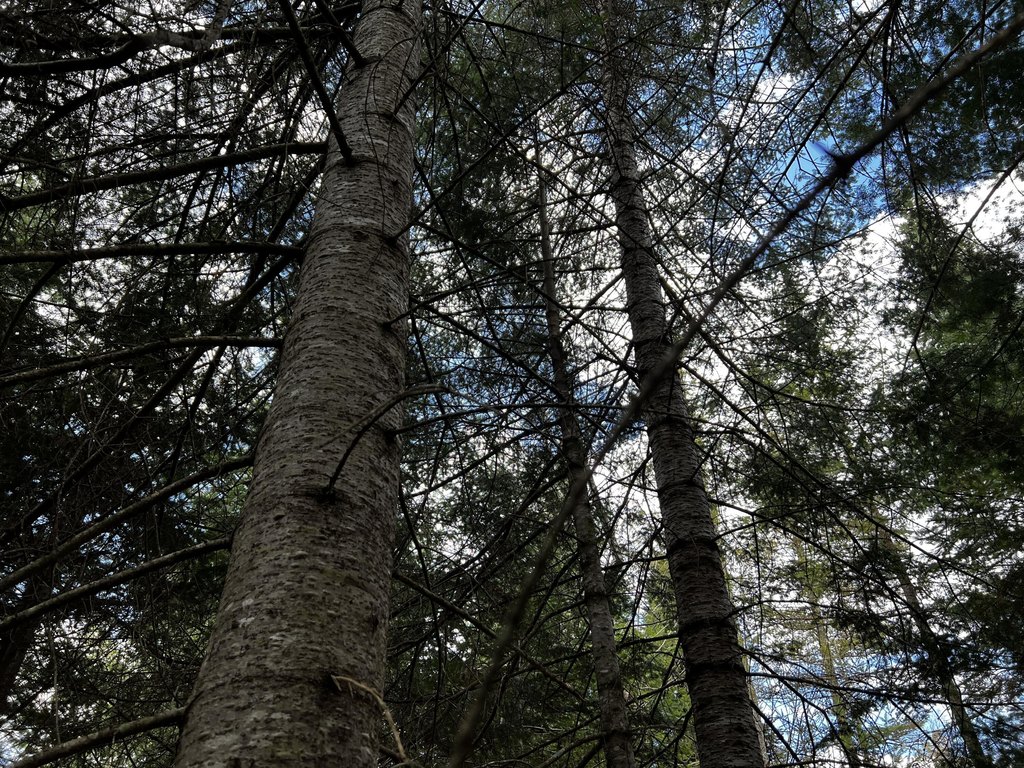
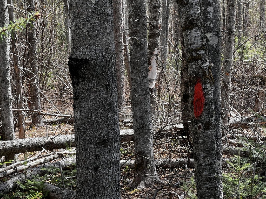
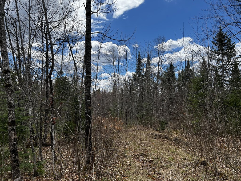
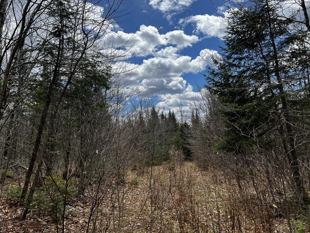
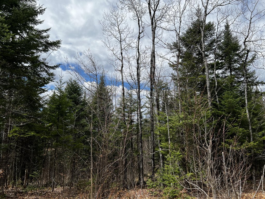
- 1,484‑acre contiguous timber tract spanning Mount Chase (435 acres) and Patten (49 acres)
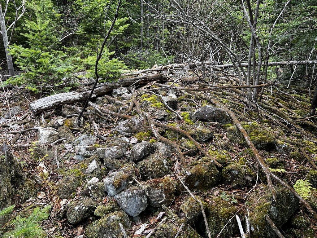
- Last commercially harvested about 8 years ago, with productive silty loams largely classified as Farm Class 2 soils
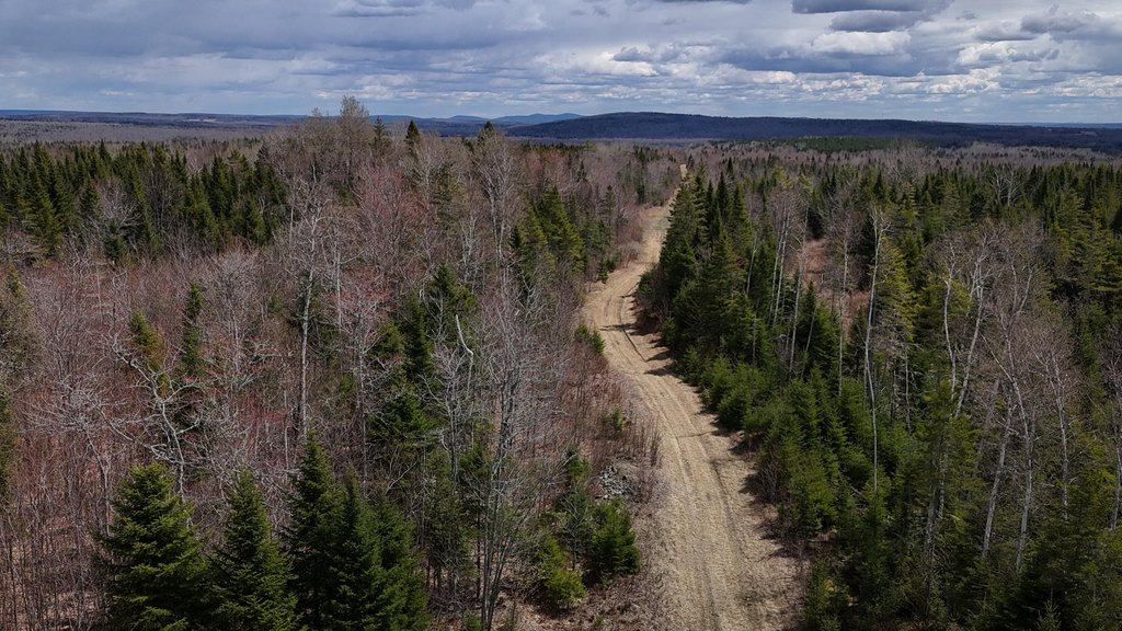
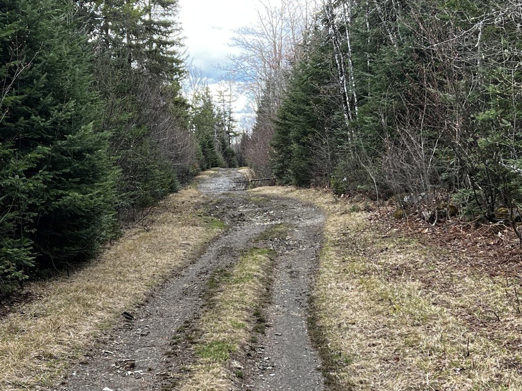
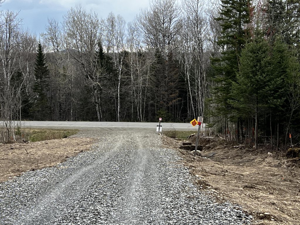
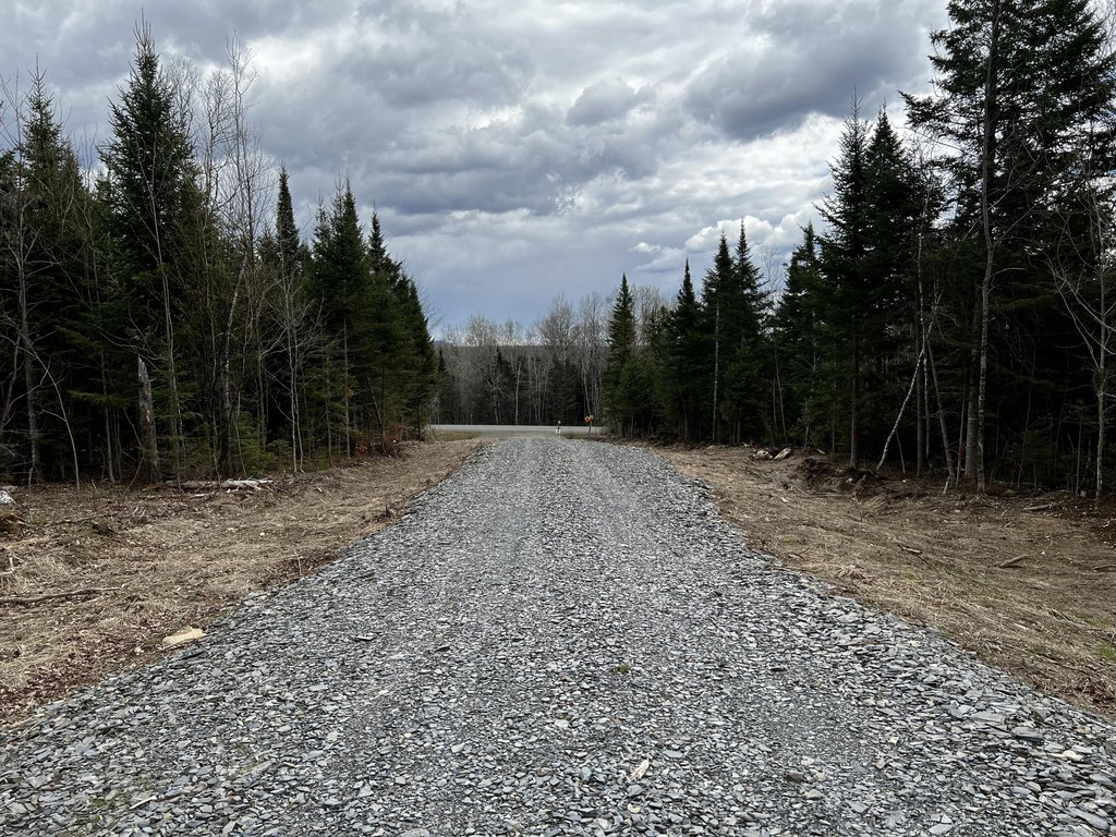
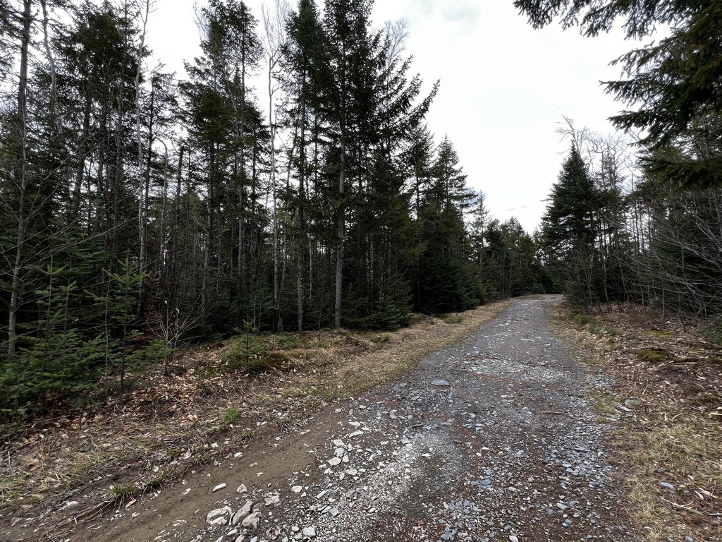
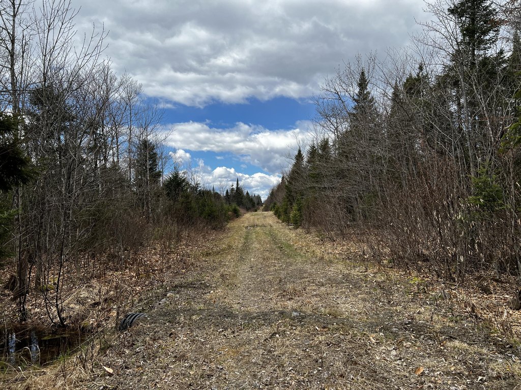
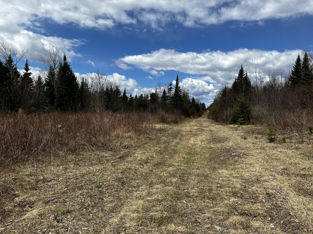
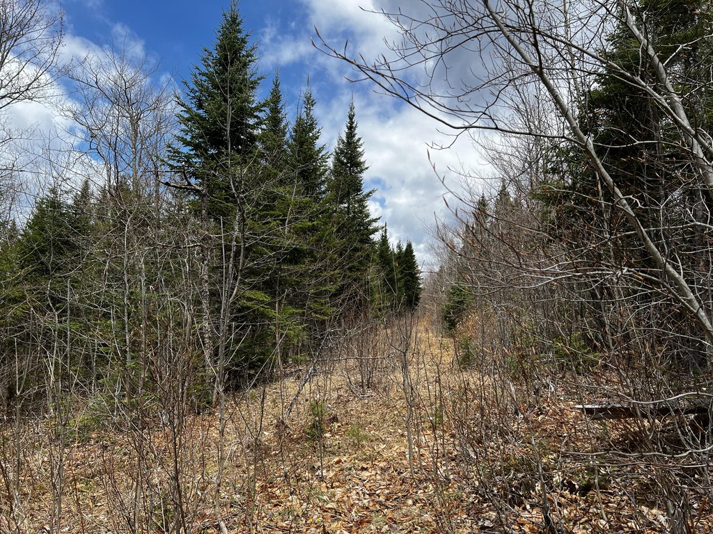
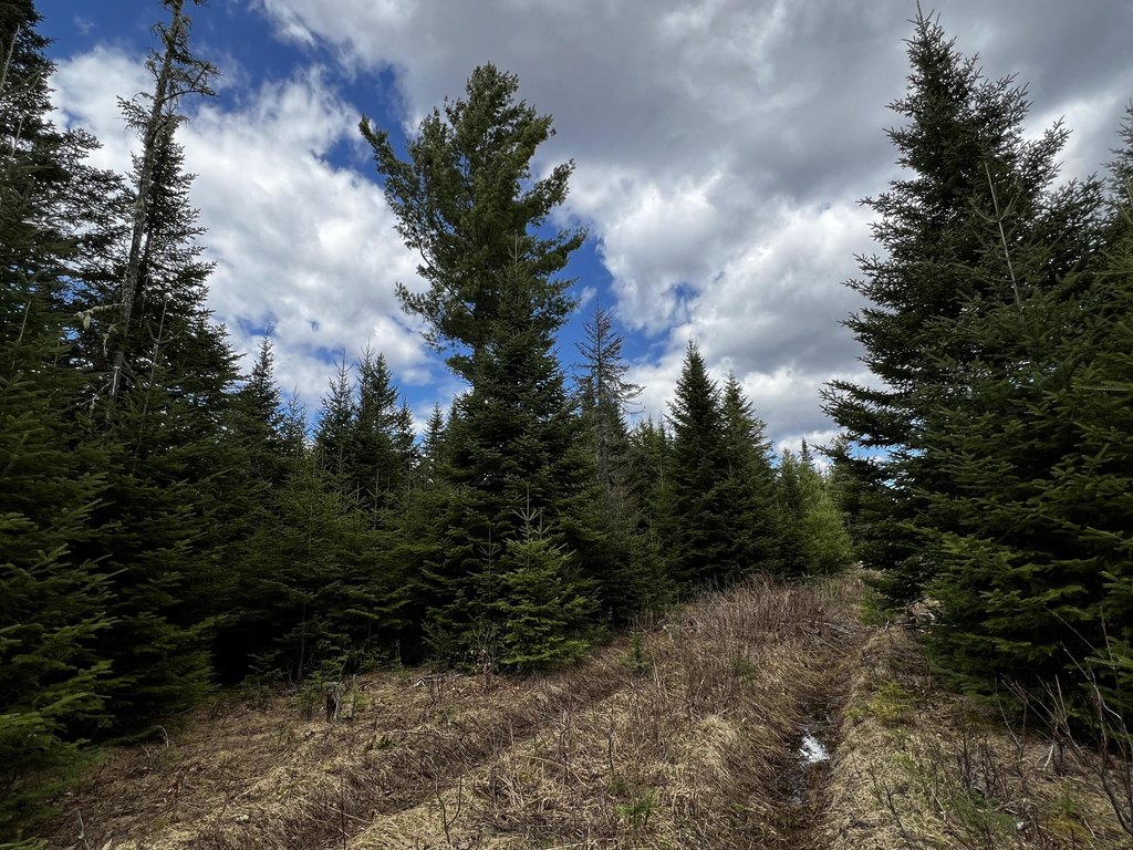
- Approximately 60 ft of owned frontage on Shin Pond Road plus about 8,400 ft of private interior logging roads
- Terrain elevation rises from ~840 ft at the road to nearly 1,000 ft toward the rear
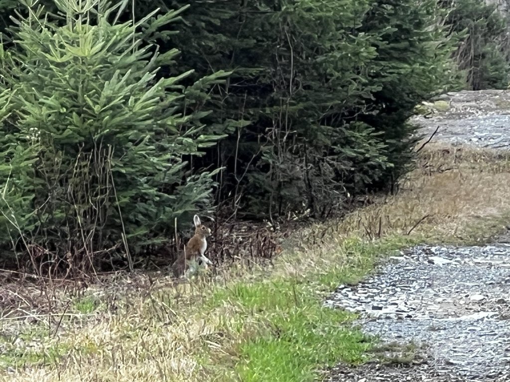
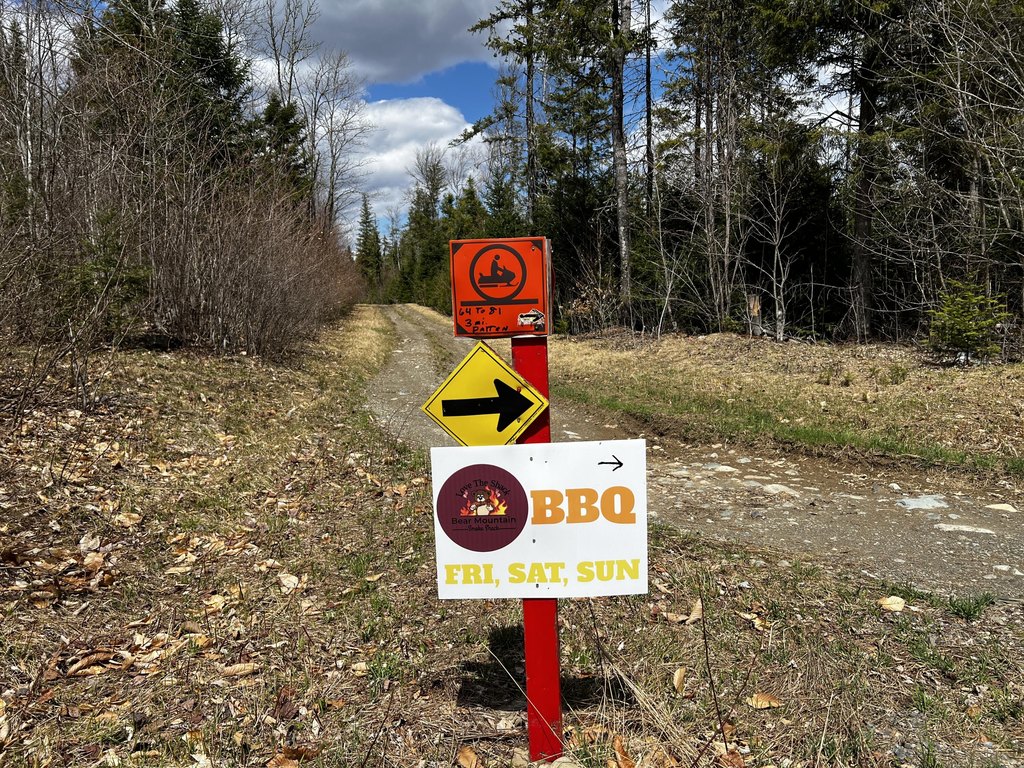
- Stream frontage included; direct access to maintained ATV and snowmobile trail systems
- Water source: well needed; sewer: septic needed
Overview
The property includes approximately 60 feet of owned frontage on Shin Pond Road. It also provides direct access to maintained ATV and snowmobile trail systems. The setting is in the heart of Maine’s Katahdin region and is described as being near Baxter State Park, Katahdin Woods & Waters National Monument, Grand Lake Matagamon, the East Branch of the Penobscot River, and the Seboeis River.
This is a fit for buyers looking for a single, contiguous land holding that supports forestry activities and year-round recreation. With interior road access, gradual grade variation, and proximity to established trail systems and major outdoor destinations, the property can accommodate private hunting and off-road recreation while maintaining its timberland character.
Current Use by Public Records
Map
- City
- Mount Chase
- County
- Penobscot
- State
- Maine
- Longitude
- -68.524237
- Latitude
- 46.04906


