Alsept Fork Road Map # 008-00-00-014, Salyersville, KY 41465
- Added:
- Feb 27, 2026
- Days on Market:
- 120
- Last Refresh:
- Jun 27 at 5:06 am
Property Features for Alsept Fork Road Map # 008-00-00-014
General Information
- Property type
- Land
- Property subtype
- Other
- Standard status
- Pending
- Lot size
- 107.00 Acres

Listing agent Doug Wireman (606) 205-6630
Listing office First Choice Realty & Assoc. KY (606) 788-9002
Listing date Feb 27, 2026
Copyright © 2026 Eastern Kentucky Association of Realtors. All rights reserved. All information provided by the listing agent/broker is deemed reliable but is not guaranteed and should be independently verified.
HighLights
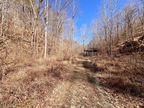
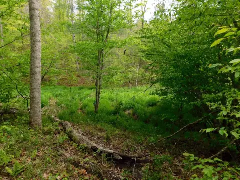
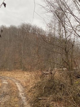
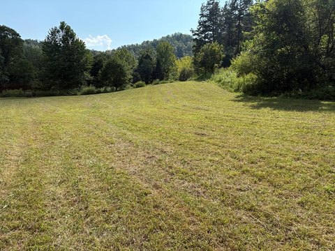
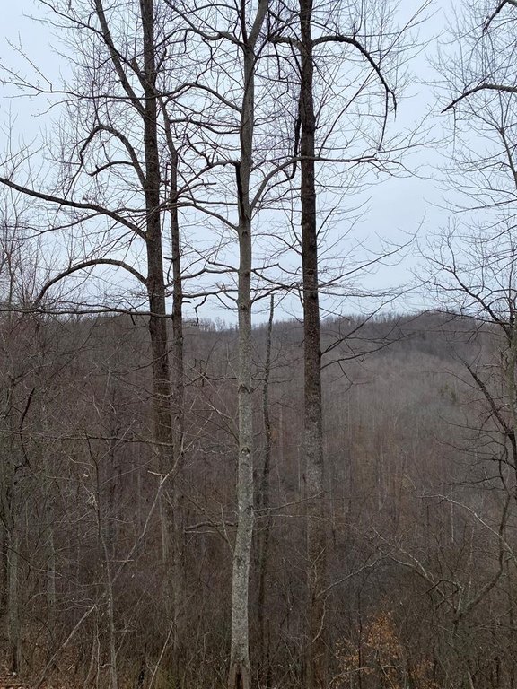
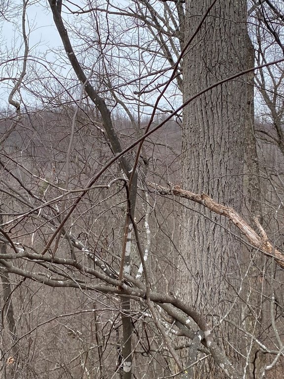
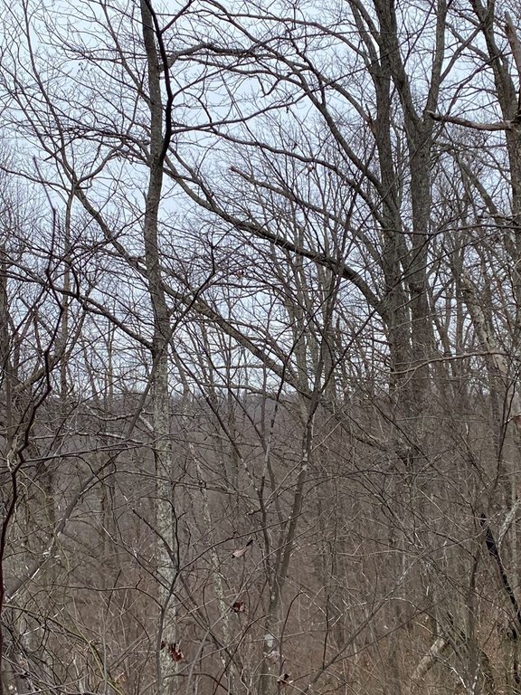
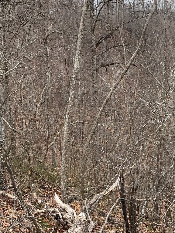
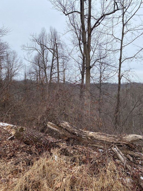
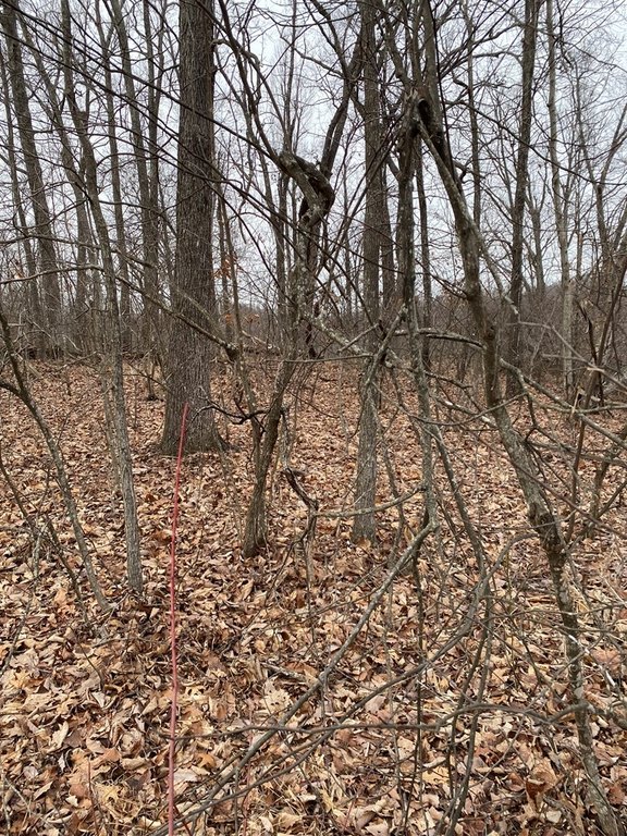
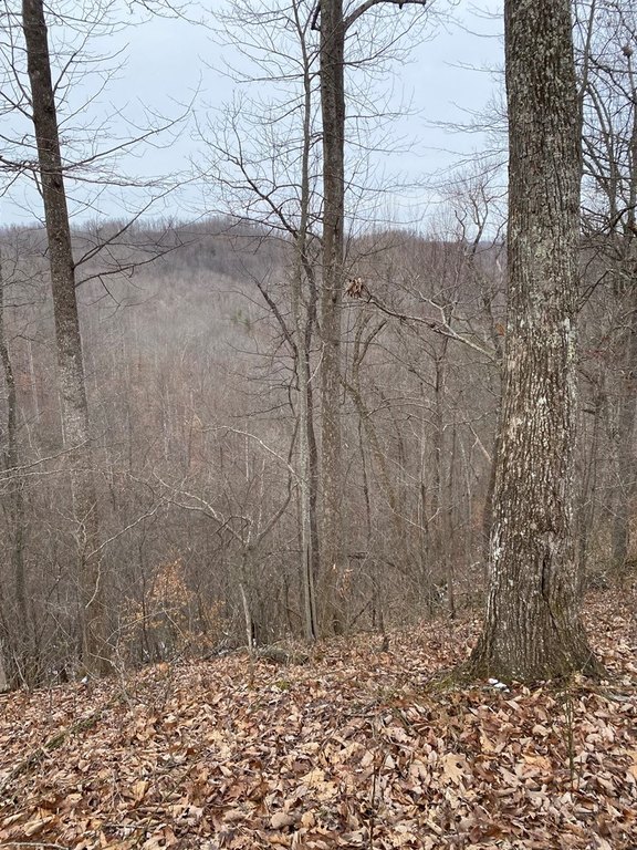
- Large acreage ideal for hunting, hiking, camping, and 4‑wheeling.
- Secluded location offering privacy.
- Hillside acreage included.
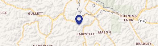
- Coordinates provided for easy location.
- Seller will transfer any owned mineral rights.
- Opportunity for outdoor recreation.
Overview
The tract is located a good distance from other residences, offering a more private setting for off-road recreation and extended outdoor stays. Coordinates are listed as 37.70453, -83.2088.
For buyers looking for rural recreation land, the combination of acreage and distance from nearby homes can support weekend and longer-term use for hunting and outdoor recreation. Because mineral rights are not confirmed beyond the seller’s existing interest, buyers who need mineral certainty should verify details as part of their due diligence. The property is being offered for sale in Salyersville, Kentucky, with address details noted as Alsept Fork Road (Map #: 008-00-00-014), 41465.
Current Use by Public Records
Map
- City
- Salyersville
- County
- Magoffin
- State
- Kentucky
- Longitude
- -83.20721208
- Latitude
- 37.70344209