Industrial Land with Road
New
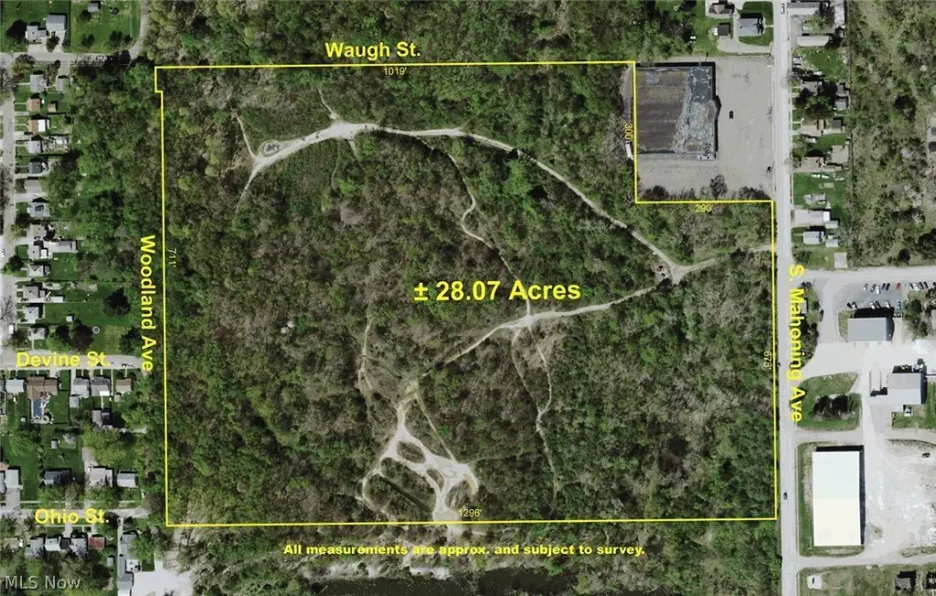
For Sale
Contact for pricing
S Mahoning Avenue, Alliance, OH 44601
Land, Alliance, OH
Property SizeContact for details
Lot Size28.00 Acres
Days on Market2
Property Features for S Mahoning Avenue
General Information
Property type
Commercial Sale
Property subtype
Other
Elementary school district
Alliance CSD - 7601
Middle school district
Alliance CSD - 7601
High school district
Alliance CSD - 7601
Directions
S. Mahoning Ave., Alliance, OH 44601: Take State St. east of Rt. 183 (Union Ave.) or west of Homeworth Rd. to Mahoning Ave. and north to land. Watch for signs.
Special listing conditions
Auction
Standard status
Active
APN
00100190
Lot size
28.00 Acres
Taxes and HOA fees
Tax Year
2025
Tax Annual Amount
2835
Utilities
Sewer type
Public Sewer
Water source
Public
Listing Agency:
Kiko
(330) 453-9187
Listed By:
Randall L Kiko · License #423744
(330) 831-0174
Added: Oct 28
Last Checked: Oct 29 at 3:06PM
MLS# 5256862
Copyright © 2026 MLS Now. All rights reserved. All information provided by the listing agent/broker is deemed reliable but is not guaranteed and should be independently verified.

Ask AI about this property
Review the available facts, identify missing information and prepare questions for the agent.
Investment Insights
Based on property information with market context.
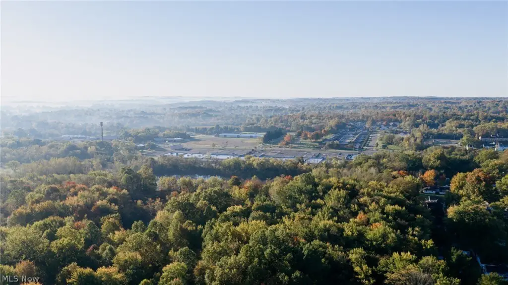
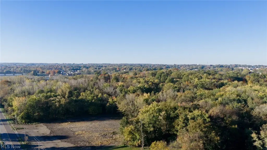
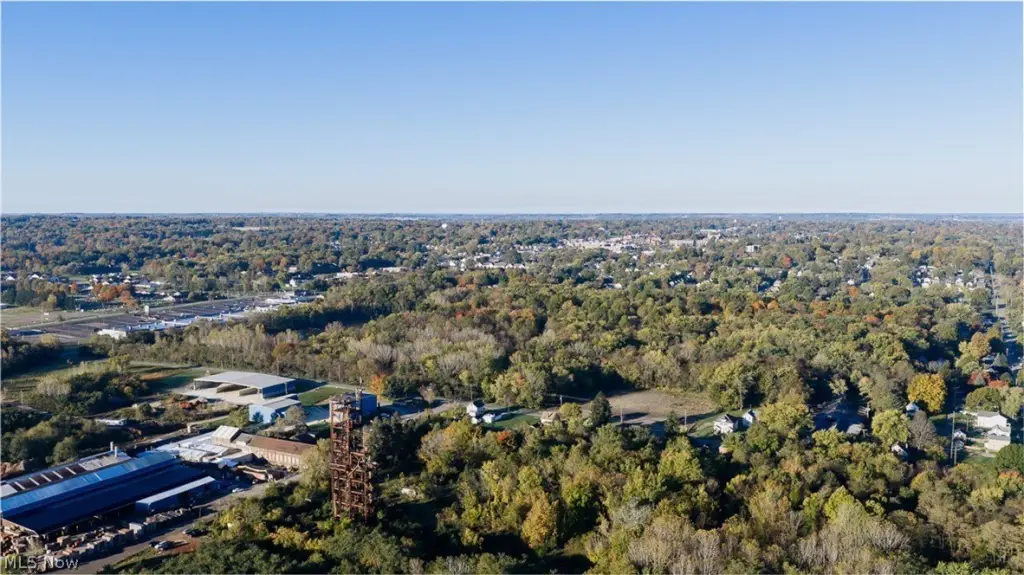
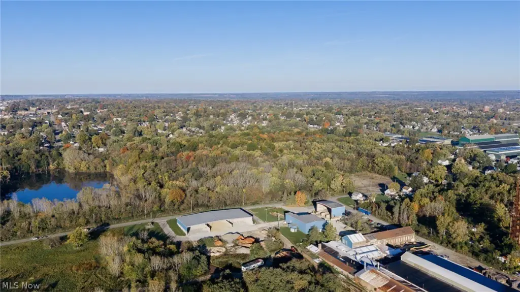
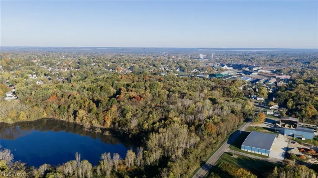
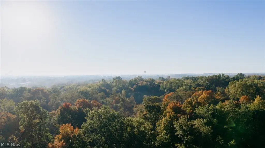
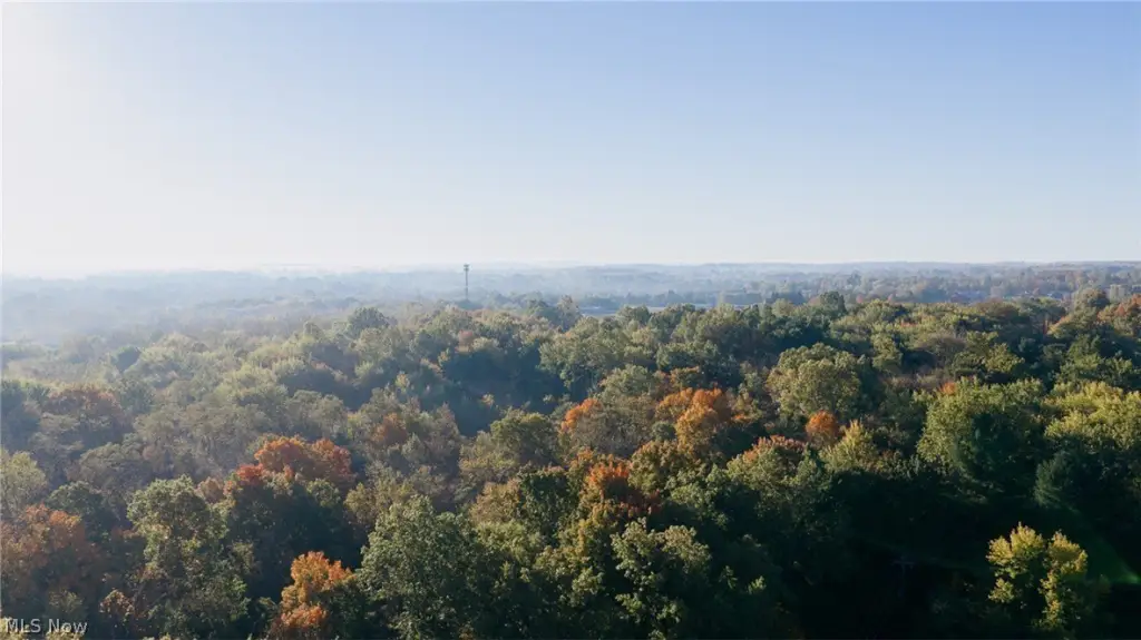
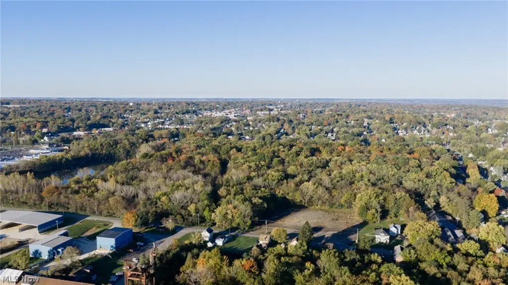
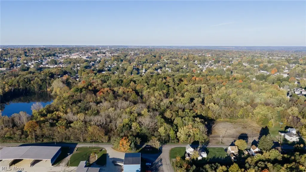
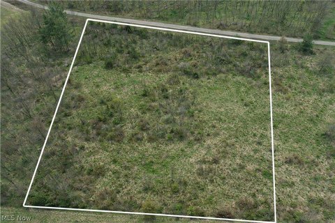
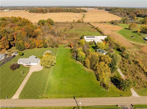
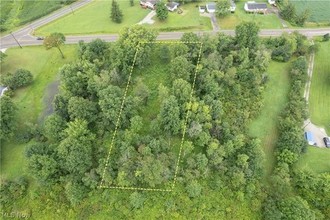
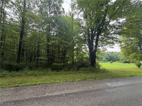
This 28-acre industrial land parcel is wooded and carries I-2 general industrial zoning. Public water and public sewer are available, supporting the site’s industrial land-use designation.
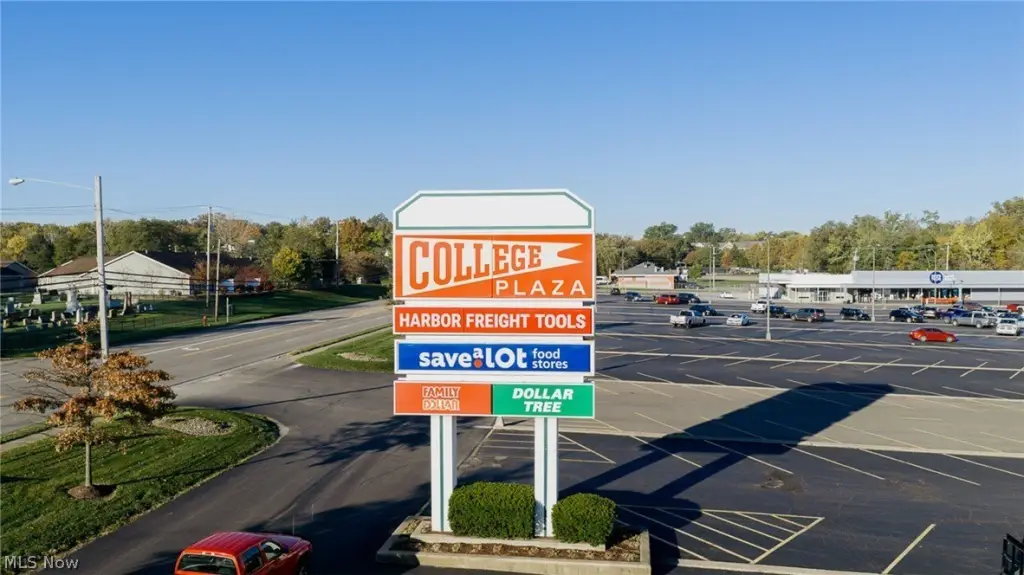
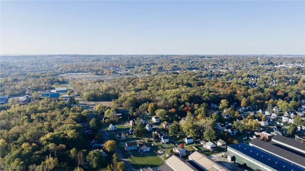
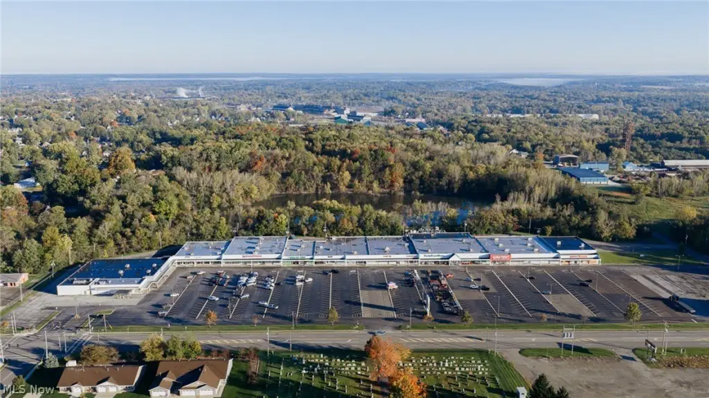
The property fronts S. Mahoning Avenue in Alliance, within Stark County, Ohio. Its road frontage and industrial zoning define the parcel’s principal physical and land-use characteristics.
The property fronts S. Mahoning Avenue in Alliance, within Stark County, Ohio. Its road frontage and industrial zoning define the parcel’s principal physical and land-use characteristics.
Key Highlights
- 28+/- acres of wooded land
- I‑2 general industrial zoning
- Frontage on S. Mahoning Avenue
Property Analytics
Who owns this building?
See the owner, sales and loan history
Open Analytics
Location Intelligence
Trade Area within ½ mile
307
Businesses Nearby
Explore this area
Business Placement
Demographics for 44601, OH
33,688
Population
14,532
Households
2.3
Avg Household Size
41
Median Age
17%
College-Educated
90%
High-School Grad
82.0 sq mi
ZIP Area
411
Density / Sq Mi
$61,887
Median Household Income
$33,773
Median Earnings
$803
Median Rent
$142,600
Median Home Value
Check the figures for this property
Cap Rate, Value Estimation, Potential NOI and more
View Realmo Analytics
Market
Vacancy Rate% for Industrial in Midwest region




Frequently Asked Questions
What type of property is this?
Industrial land - Wooded acreage with I-2 general industrial zoning and public water and sewer service.
Where is this industrial land located?
The property is located at S Mahoning Avenue Alliance, OH.
What are key features of this property?
This property features: 28+/- acres of wooded land; I‑2 general industrial zoning; Frontage on S. Mahoning Avenue