Recreational Hunting Land with
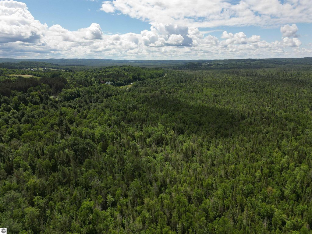
For Sale
$299,000
Pending
S Good Harbor Trail, Cedar, MI 49621
LAND - Cedar, MI
Property SizeContact for details
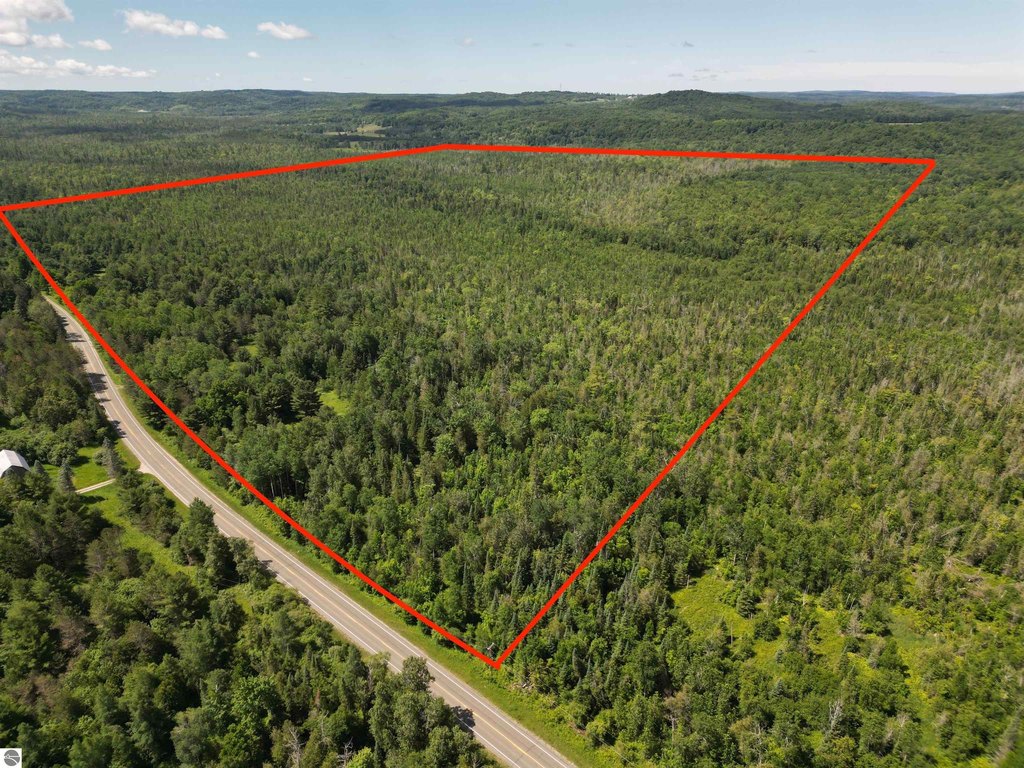
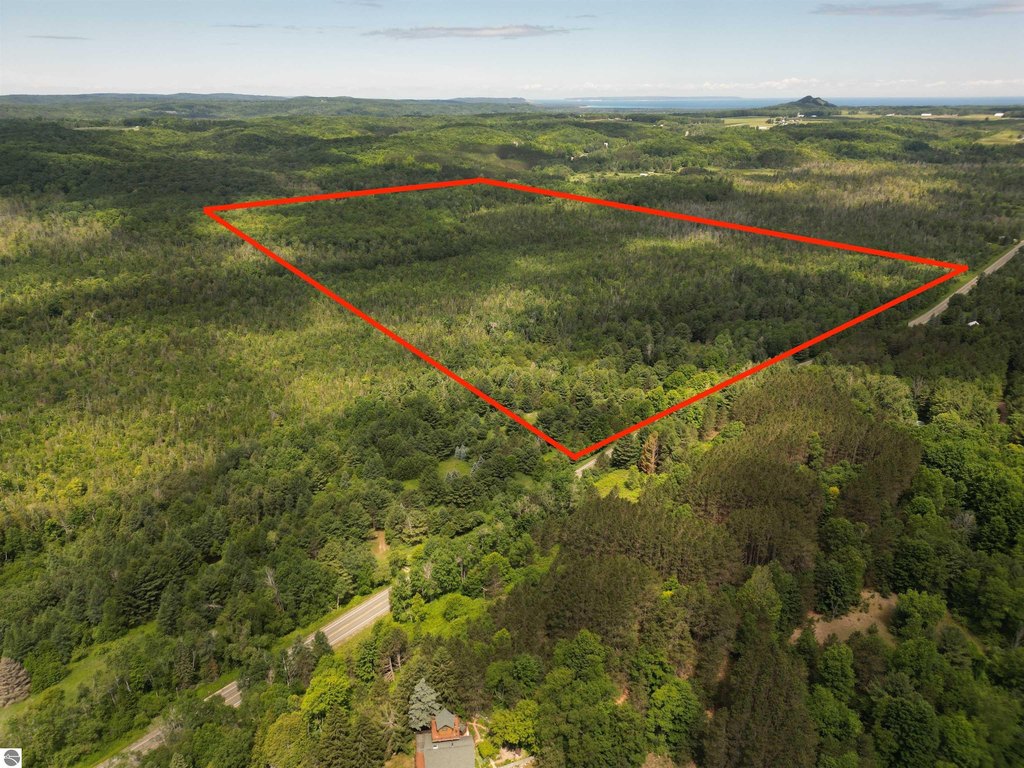
Lot Size94.05 Acres
Days on Market59
Property Features for S Good Harbor Trail
General Information
Property type
Land
Property subtype
Other
Zoning
Agricultural
Zoning description
Agricultural
Exterior features
Countryside View
Lot features
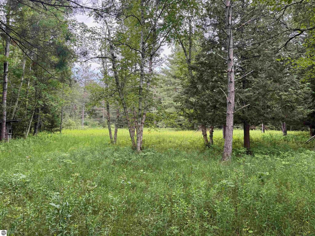
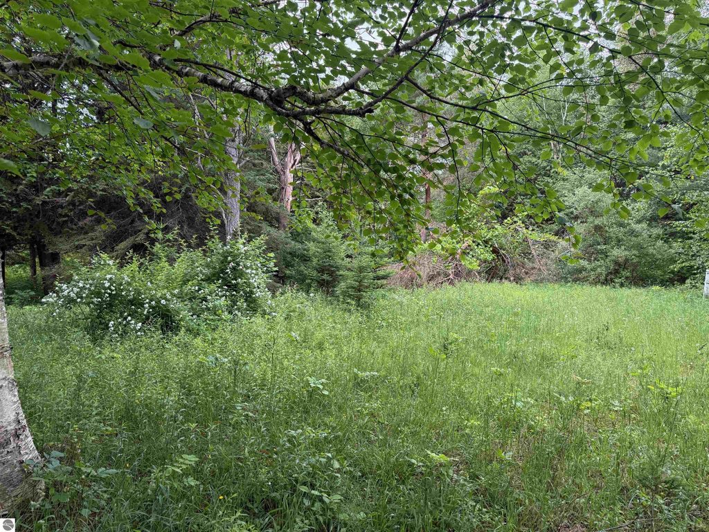
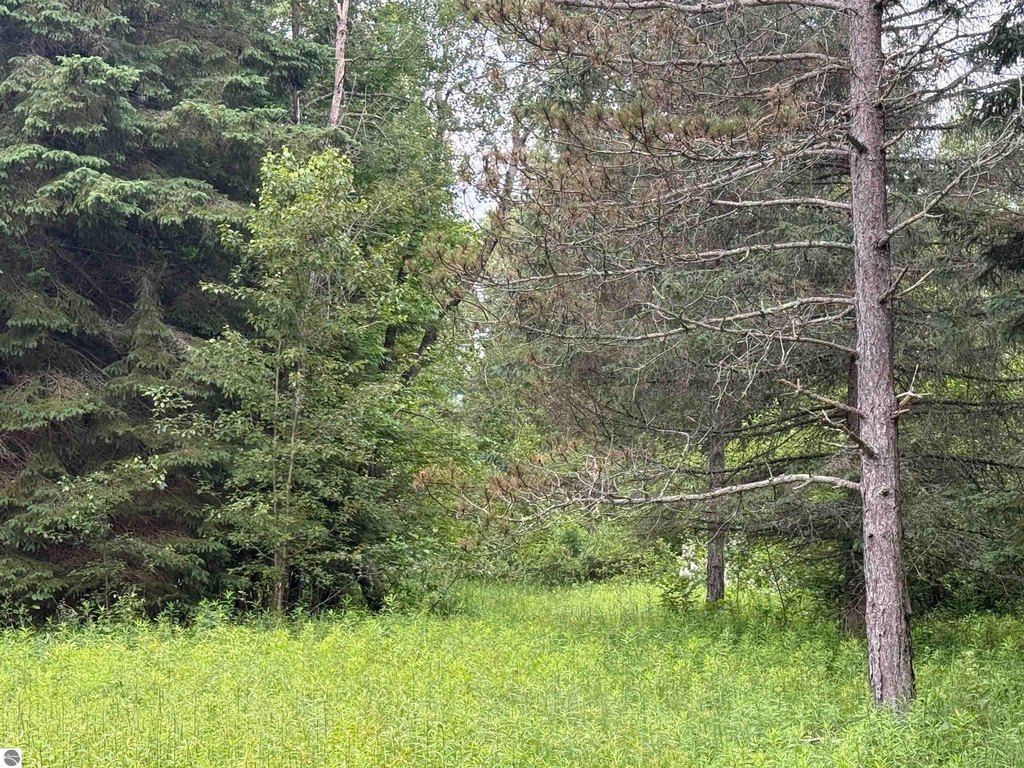
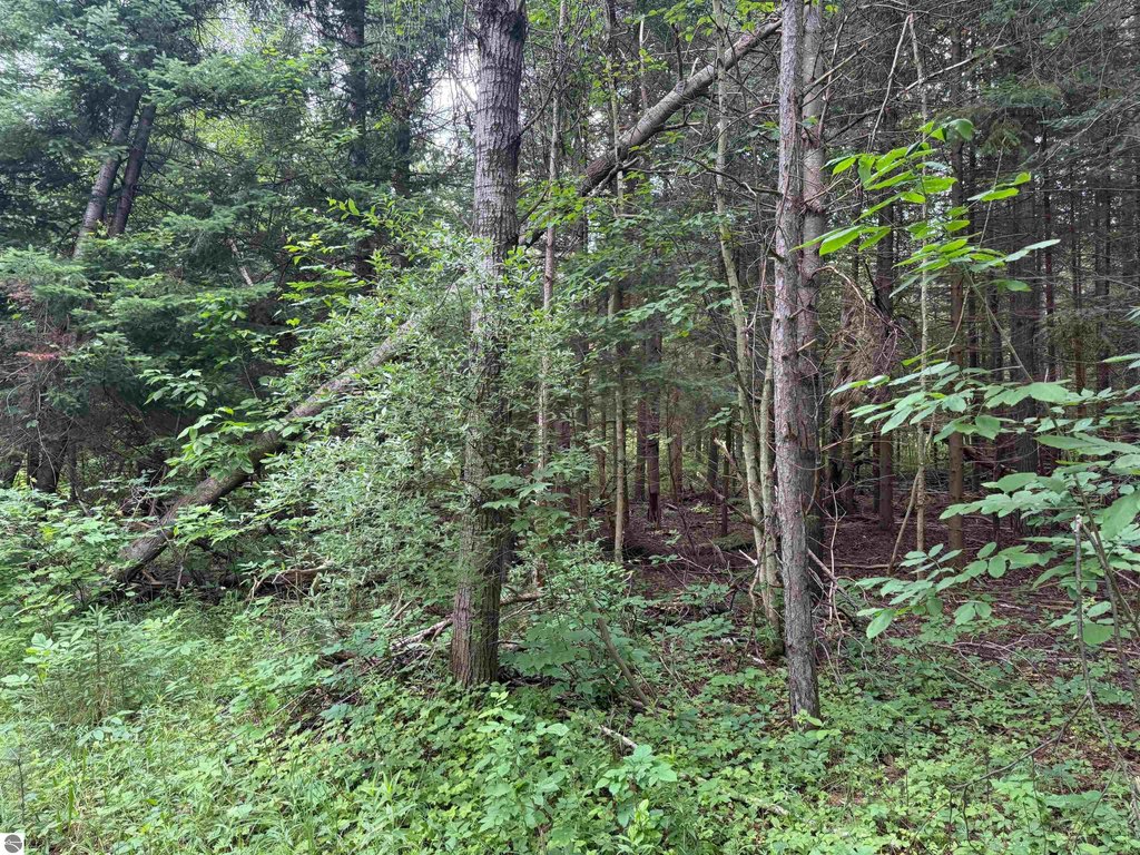
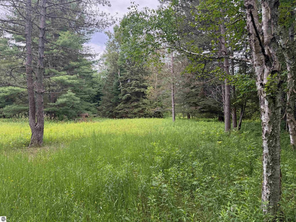
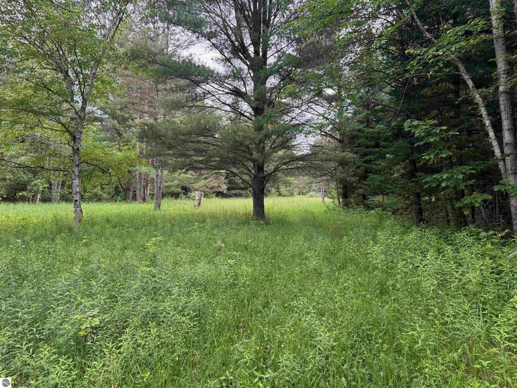
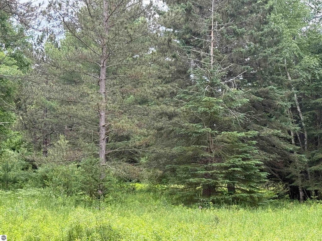
Level, Rolling, Some Low Land Areas, Hardwoods, Swamp, Wooded, Evergreens, Level, Rolling, Some Low Land Areas, Hardwoods, Swamp, Wooded, Evergreens
Elementary school district
Glen Lake Community Schools
Middle school district
Glen Lake Community Schools
High school district
Glen Lake Community Schools
Directions
Take M-72 west to County Road 616 (Bugai Road), head north toward Cedar, then continue to E Harbor Highway (M-22). Turn west on M-22, then north onto S Good Harbor Trail. Follow S Good Harbor Trail to the property and watch for the sign.
Subdivision
Leelanau
Standard status
Pending
Lot size
94.05 Acres
Taxes and HOA fees
Tax Description
S 1/2 OF S 1/2 OF NE 1/4 SEC 31 EXC N 396 FT ALSO N 1/2 OF SE 1/4 LYING W OF C/L GOOD HARBOR TRL (A/K/A CO RD 651) SEC 31 T29N R12W 94 A M/L
Legal Description
S 1/2 OF S 1/2 OF NE 1/4 SEC 31 EXC N 396 FT ALSO N 1/2 OF SE 1/4 LYING W OF C/L GOOD HARBOR TRL (A/K/A CO RD 651) SEC 31 T29N R12W 94 A M/L
Utilities
Water front features
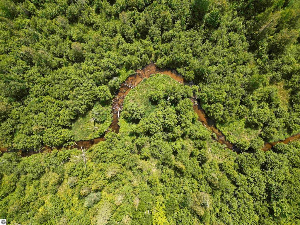
Creek
Water front
1
Listing Agency:
The Mitten Real Estate Group
(231) 421-1970
Listed By:
TJ Shimek · License #6506048854
(231) 645-1351
Added: Jun 24
Changed: Jul 3
Last Checked: Aug 21 at 1:06PM
MLS# 1947064
Copyright © 2026 Northern Great Lakes Realtors MLS. All rights reserved. All information provided by the listing agent/broker is deemed reliable but is not guaranteed and should be independently verified.
Investment Insights
Based on property information with market context.
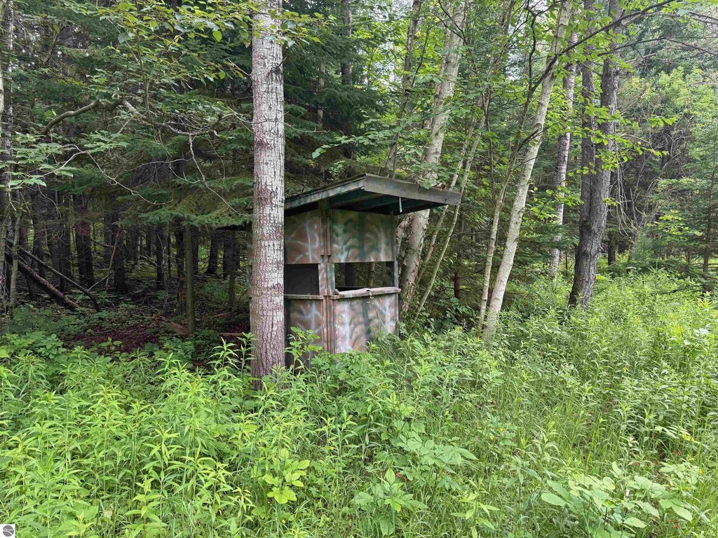
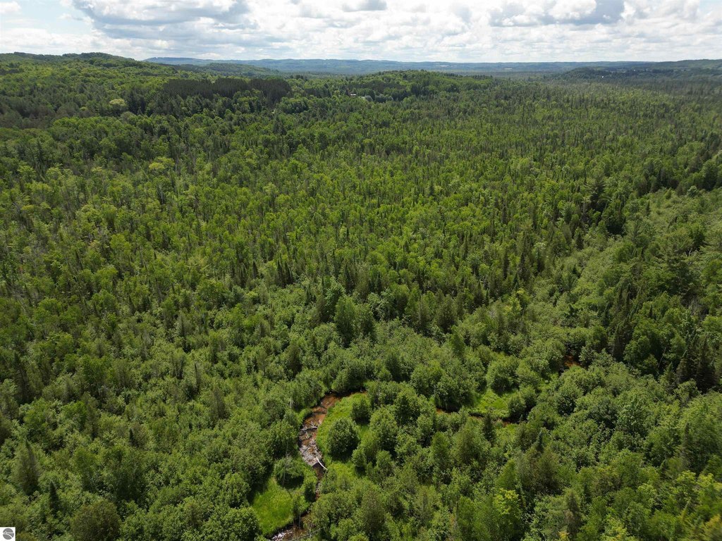
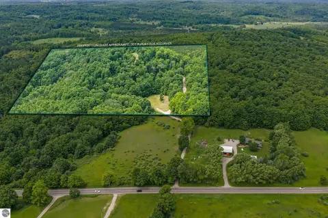
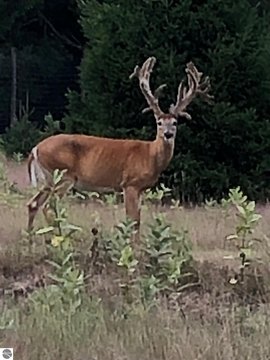
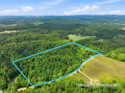
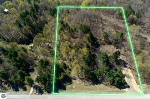
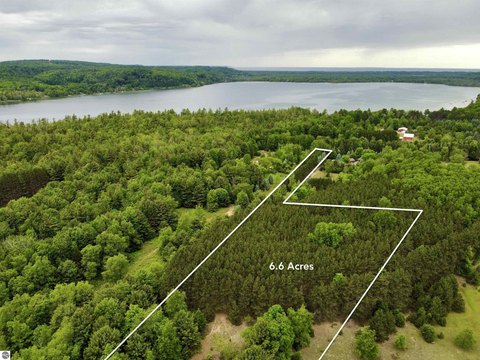
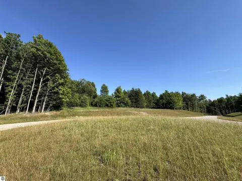
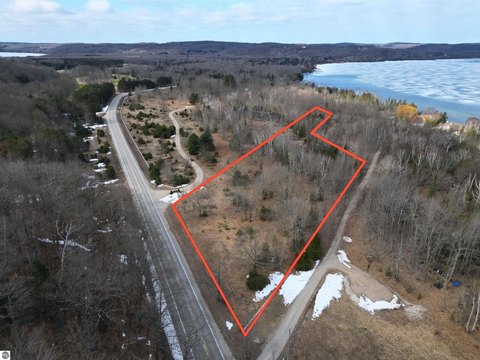
This recreational hunting and wildlife management land consists of 94.05 acres and includes drive-in access directly into the property. Victoria Creek (formerly known as the Cedar River) flows through the tract, creating a natural corridor and a year-round water feature. The property is offered for outdoor recreation including hunting and fishing, with terrain that supports typical wildlife activity along the creek.
Located in Cedar, Michigan (Leelanau County), the property is accessed via S Good Harbor Trail in Cedar. The listing notes that the land’s suitability for a building has not been evaluated by the health department, so any development plans will require the buyer to complete their own due diligence regarding development potential.
For buyers seeking private acreage for hunting and wildlife-focused recreation, the creek’s presence is a key on-site attribute that can support ongoing outdoor use. The combination of drive-in access and a year-round waterway makes it straightforward to visit for scouting, checking cameras, and fishing, while retaining the privacy associated with larger tracts. Buyers should plan to verify all intended uses, including any future improvements, directly as part of their due diligence.
Located in Cedar, Michigan (Leelanau County), the property is accessed via S Good Harbor Trail in Cedar. The listing notes that the land’s suitability for a building has not been evaluated by the health department, so any development plans will require the buyer to complete their own due diligence regarding development potential.
For buyers seeking private acreage for hunting and wildlife-focused recreation, the creek’s presence is a key on-site attribute that can support ongoing outdoor use. The combination of drive-in access and a year-round waterway makes it straightforward to visit for scouting, checking cameras, and fishing, while retaining the privacy associated with larger tracts. Buyers should plan to verify all intended uses, including any future improvements, directly as part of their due diligence.
Key Highlights
- 94‑acre hunting and recreational tract with drive‑in access into the property
- Victoria Creek (formerly known as the Cedar River) flows through the land, providing a year‑round water source
- Creek frontage offers fishing opportunities and wildlife‑travel corridor habitat
Property Analytics
Property Profile
Current Use
Lease Details
Yes
Paved road access
Location Intelligence
Trade Area within ½ mile
5
Businesses Nearby
Explore this area
Business Placement
Demographics for 49621, MI
3,157
Population
2,047
Households
1.5
Avg Household Size
50
Median Age
42%
College-Educated
96%
High-School Grad
54.8 sq mi
ZIP Area
58
Density / Sq Mi
$92,794
Median Household Income
$40,221
Median Earnings
$1,059
Median Rent
$342,300
Median Home Value

Questions? Ask Rey
Realmo’s AI knows this listing — price, zoning, demand, history. Ask anything.





Frequently Asked Questions
What type of property is this?
Hunting land - Drive-in accessible hunting and recreation tract with a creek running through the property and established wildlife habitat.
Where is this hunting land located?
The property is located at S Good Harbor Trail Cedar, MI.
What is the asking price?
The asking price for this property is $299,000.
What are key features of this property?
This property features: 94‑acre hunting and recreational tract with drive‑in access into the property; Victoria Creek (formerly known as the Cedar River) flows through the land, providing a year‑round water source; Creek frontage offers fishing opportunities and wildlife‑travel corridor habitat