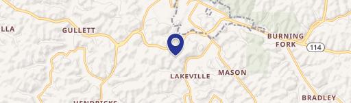
RT 1635 Map 053-00-00-00.001 Oakley Road, Salyersville, KY 41465

- Added:
- Oct 28, 2025
- Days on Market:
- 243
- Last Refresh:
- Jun 27 at 3:06 am
Property Features for RT 1635 Map 053-00-00-00.001 Oakley Road
General Information
- Property type
- Land
- Property subtype
- Other
- Standard status
- Active
- Lot size
- 185.00 Acres
Utilities
- Water source
- Public

Listing agent Doug Wireman (606) 205-6630
Listing office First Choice Realty & Assoc. KY (606) 788-9002
Listing date Oct 28, 2025
Copyright © 2026 Eastern Kentucky Association of Realtors. All rights reserved. All information provided by the listing agent/broker is deemed reliable but is not guaranteed and should be independently verified.
HighLights
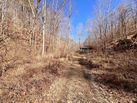
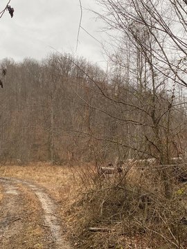
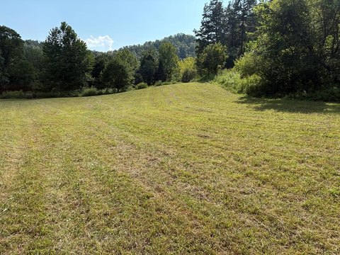
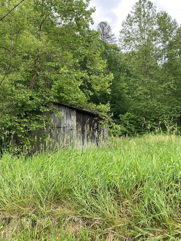
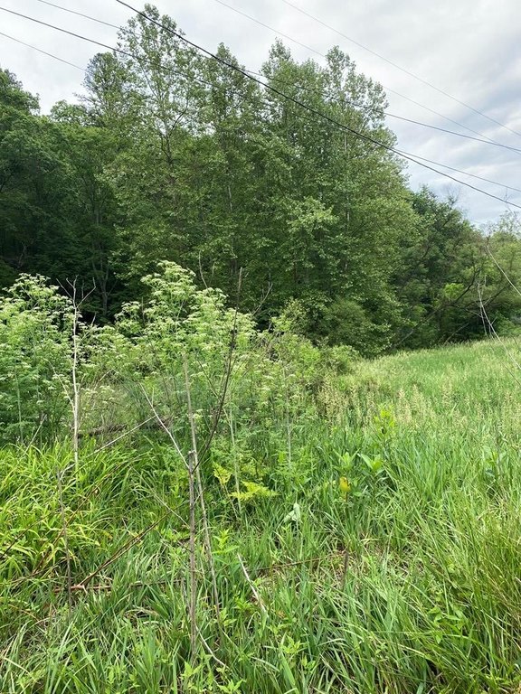
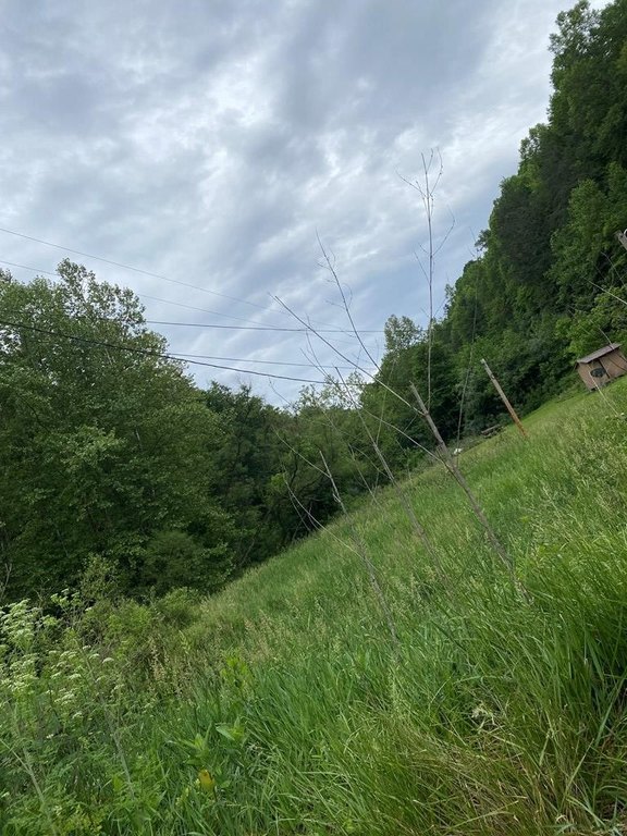
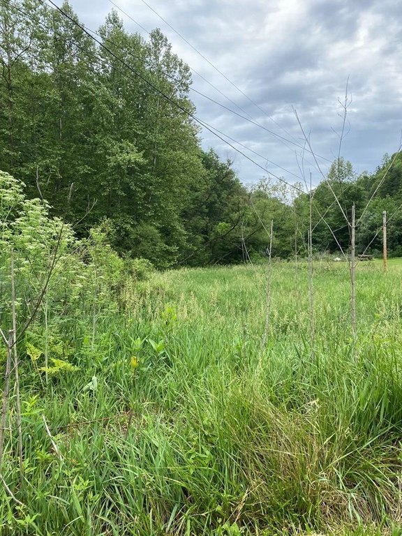
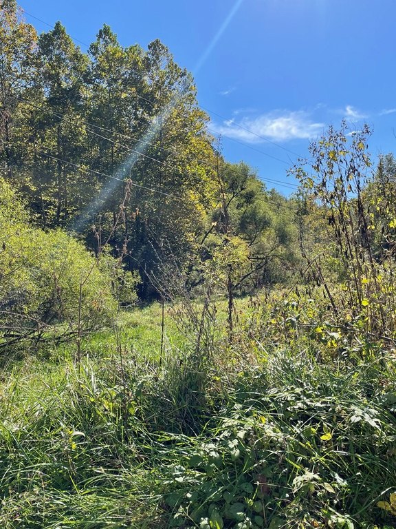
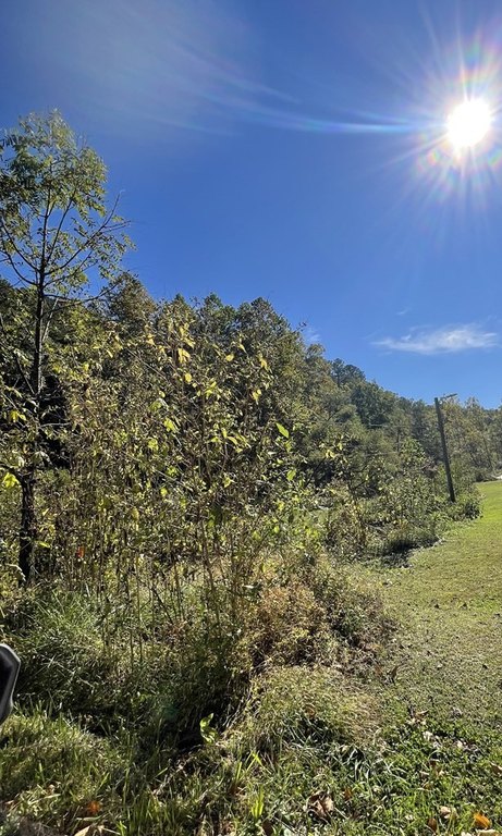
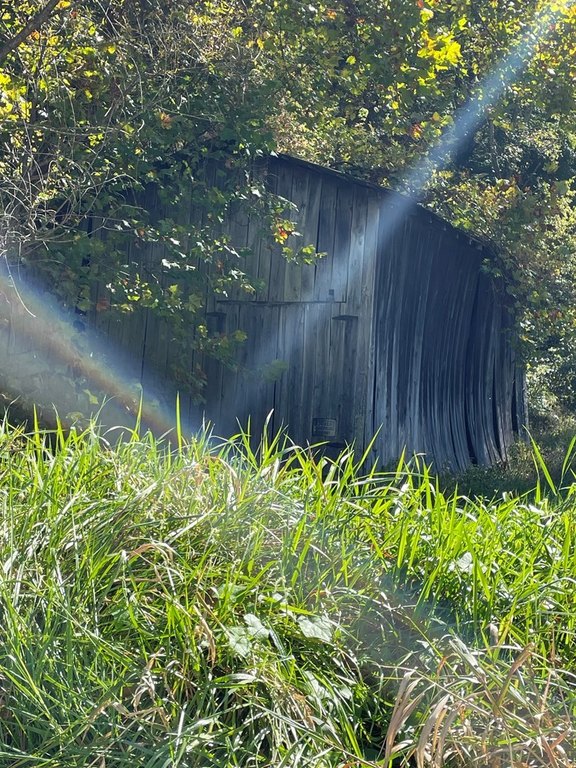
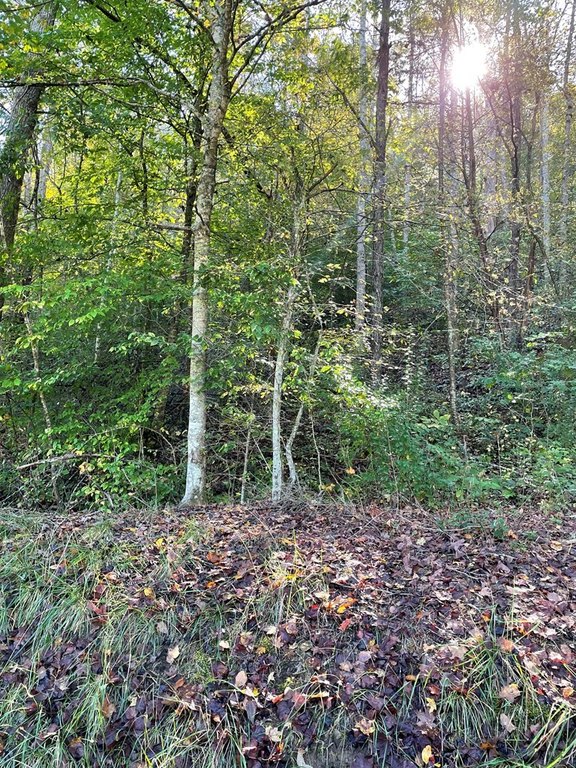
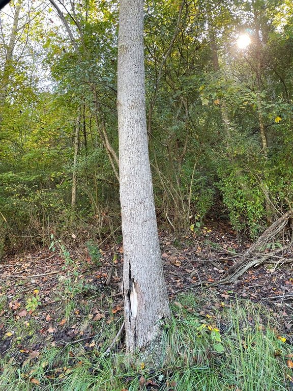
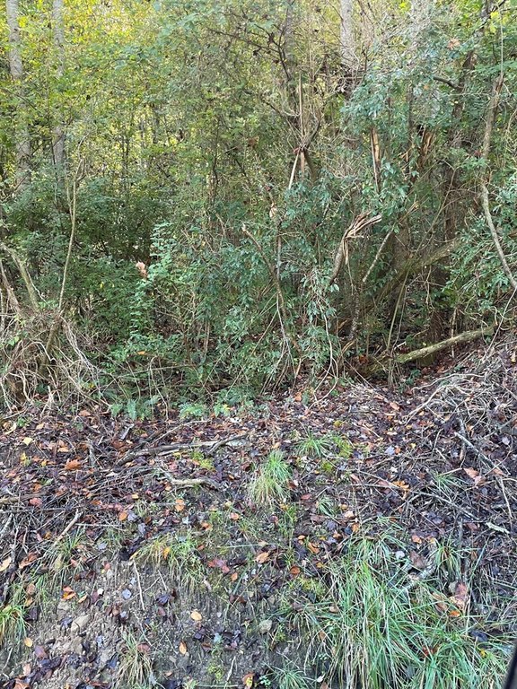
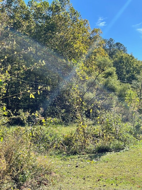
- 185 acres in southern Magoffin County with mature timber and abundant wildlife.
- Small pond on the property.
- Public water available along RT 1635.
- Electricity available.
- Septic will need to be installed for those looking to build.
Overview
The property is located in southern Magoffin County near Salyersville, Kentucky, with utility access provided along RT 1635. The listing map references Map 053-00-00-00.001, and the address is shown as RT 1635 (Oakley Road), Salyersville, KY 41465.
For buyers looking for a private outdoor base, this tract provides space for hunting and off-road recreation while maintaining a wooded, secluded character. For those who plan to build, the combination of nearby public water and electricity can simplify utilities compared to remote sites, with only septic left to be addressed. The property’s pond and timber cover support an outdoors-focused lifestyle for individuals or groups seeking a larger parcel for year-round use.
Current Use by Public Records
Map
- City
- Salyersville
- County
- Magoffin
- State
- Kentucky
- Longitude
- -83.04276696
- Latitude
- 37.63992606