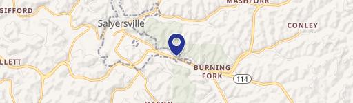
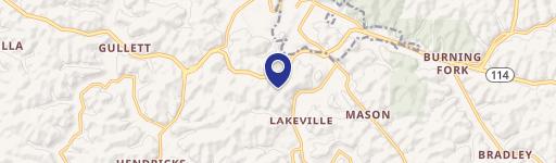
Cow Creek Map 008-00-00-013, Salyersville, KY 41465
- Added:
- Feb 23, 2026
- Days on Market:
- 124
- Last Refresh:
- Jun 27 at 3:06 am
Property Features for Cow Creek Map 008-00-00-013
General Information
- Property type
- Land
- Property subtype
- Other
- Standard status
- Active
- Lot size
- 167.00 Acres

Listing agent Doug Wireman (606) 205-6630
Listing office First Choice Realty & Assoc. KY (606) 788-9002
Listing date Feb 23, 2026
Copyright © 2026 Eastern Kentucky Association of Realtors. All rights reserved. All information provided by the listing agent/broker is deemed reliable but is not guaranteed and should be independently verified.
HighLights
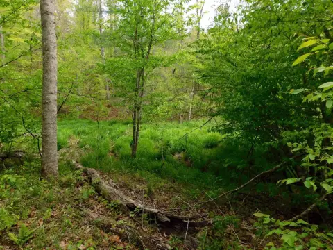
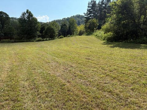
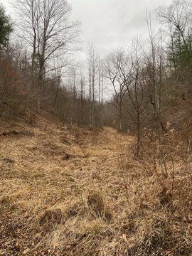
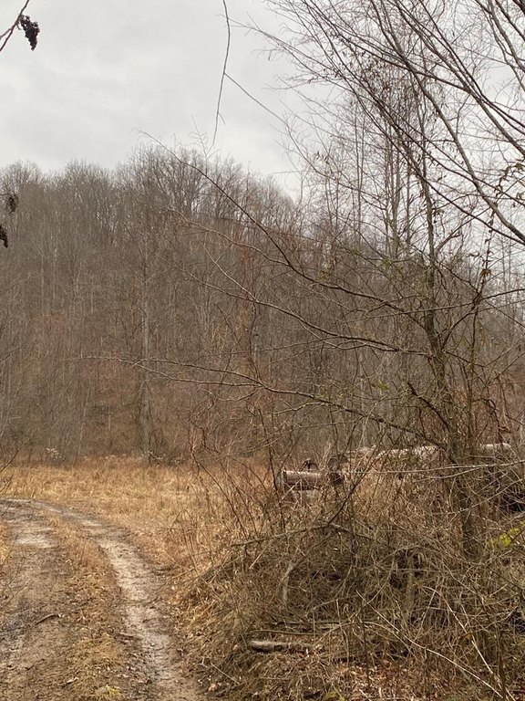
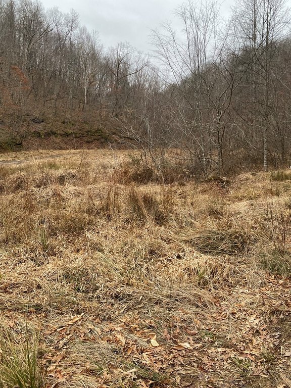
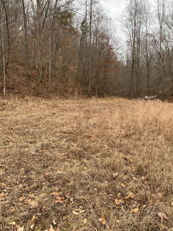
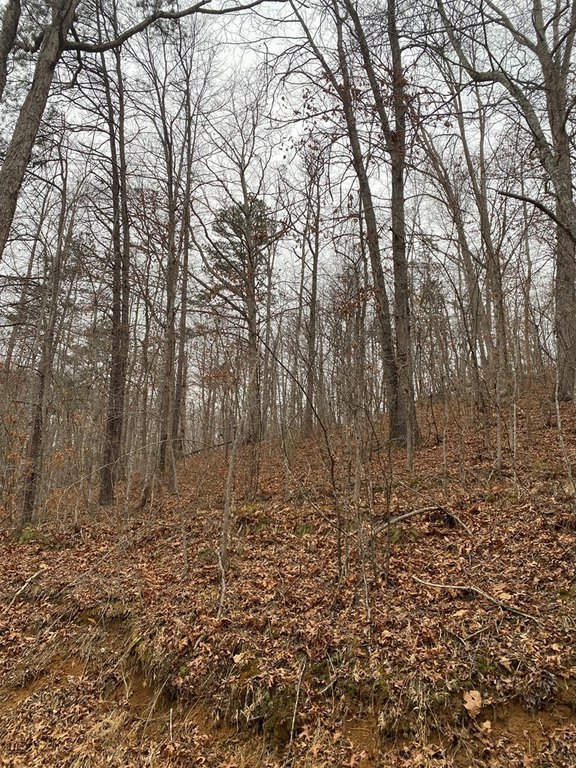
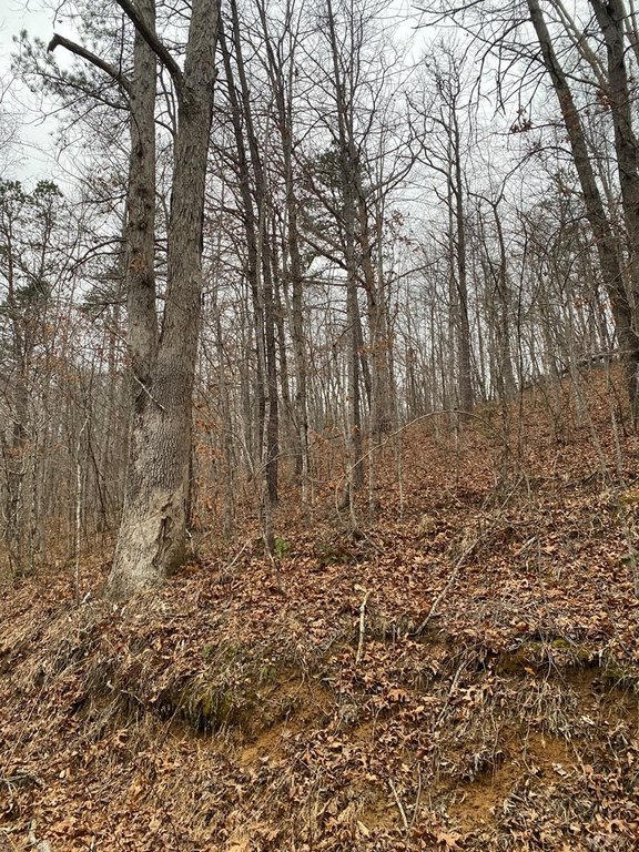
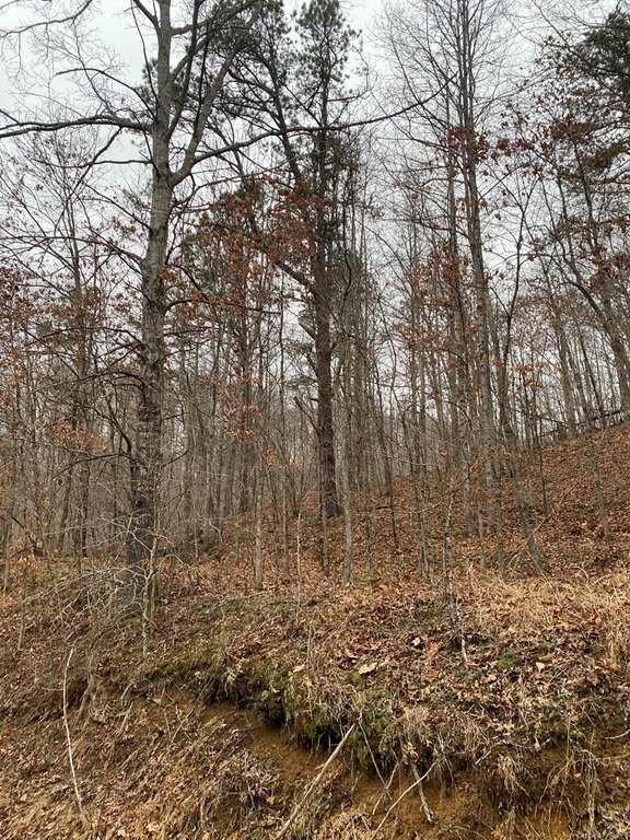
- Acreage located on Alsept Fork Road in Salyersville.
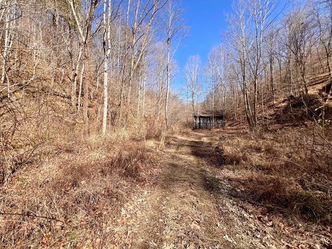
- Property is undeveloped and suitable for recreational use including hunting, hiking, camping, and 4‑wheeling.
- No sewer currently on the property; sewer installation would be required to develop it.
- Electric and public water are not readily available.
- Mineral rights are unknown; buyers receive whatever mineral rights the seller owns.
Overview
The property is located on Alsept Fork Road in Salyersville, Kentucky. Based on the provided coordinates, it sits in a rural setting suitable for outdoor recreation.
For buyers looking for land use flexibility without existing improvements, the acreage is positioned for recreational activities such as hunting, hiking, camping, and 4-wheeling. For development-minded buyers, the lack of sewer, along with limited availability of electric and public water, should be accounted for in planning and budgeting.
Current Use by Public Records
Map
- City
- Salyersville
- County
- Magoffin
- State
- Kentucky
- Longitude
- -83.20138983
- Latitude
- 37.70564142