Rural Hunting Land with Creek
For Sale
$521,000
Pending
Rodney Road, Port Gibson, MS 39150
LAND - Port Gibson, MS
Property SizeContact for details
Lot Size151.00 Acres
Days on Market292
Property Features for Rodney Road
General Information
Property type
Land
Property subtype
Other
Directions
Hwy 61 to Port Gibson, head west on Rodney Road for approximately 5 miles and the property is on the left.
Standard status
Pending
APN
100830800400
Lot size
151.00 Acres
Taxes and HOA fees
Tax Annual Amount
514
Listing Agency:
Whitetail Properties Real Estate, LLC
(217) 285-9000
Listed By:
Jeff Foote
(217) 285-9000
Added: Nov 3, 2025
Changed: Jul 16
Last Checked: Aug 22 at 8:06AM
MLS# 11609423
Copyright © 2026 My State MLS. All rights reserved. All information provided by the listing agent/broker is deemed reliable but is not guaranteed and should be independently verified.
Investment Insights
Based on property information with market context.
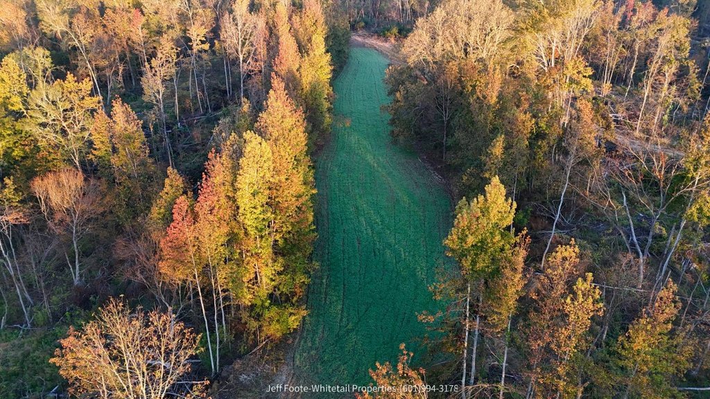
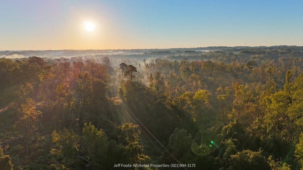
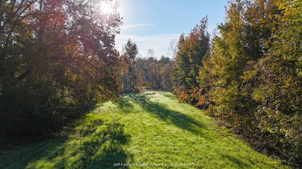
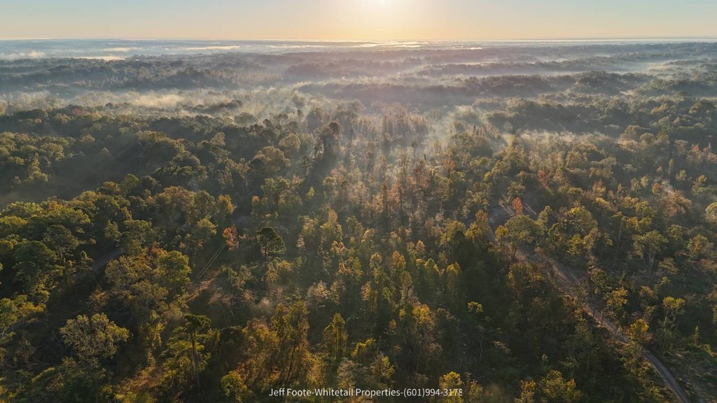
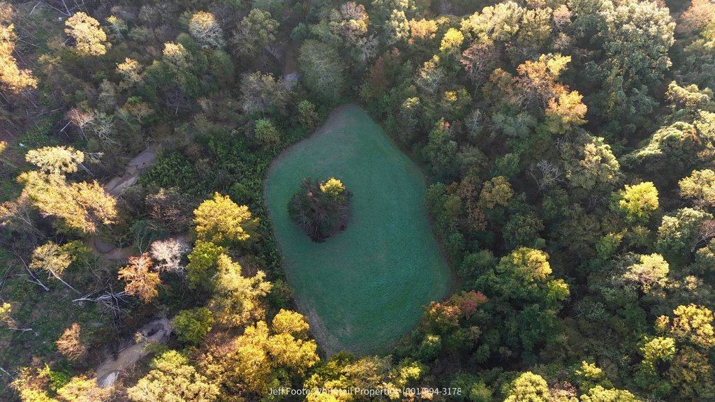
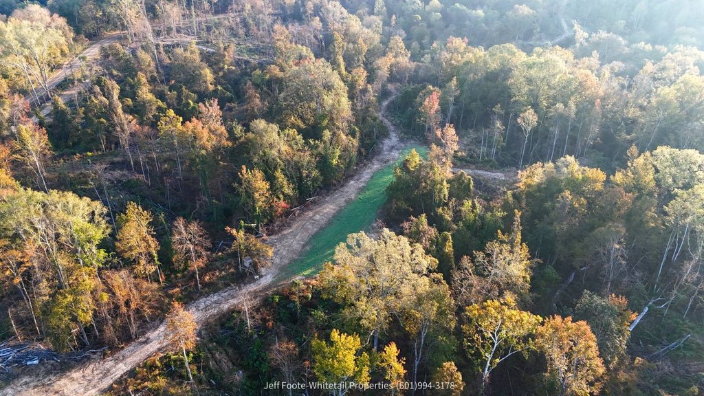
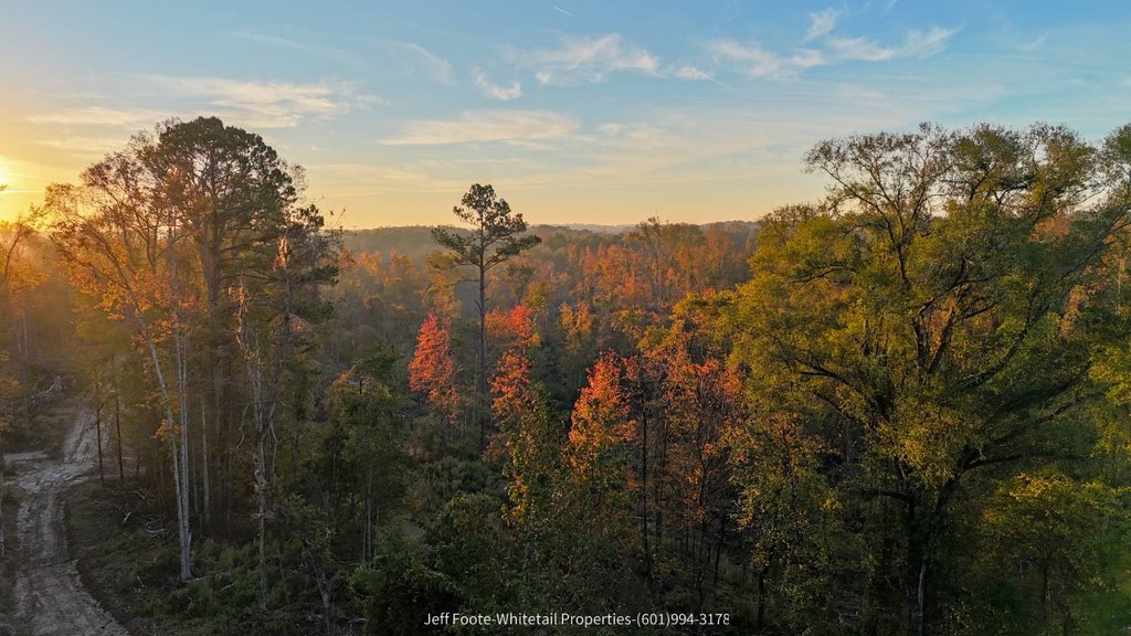
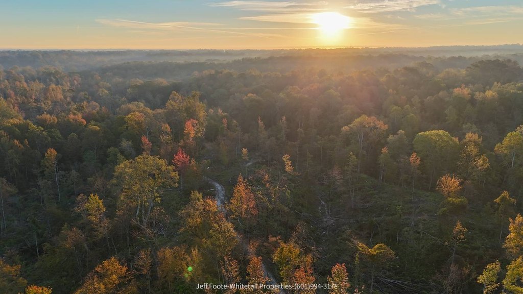
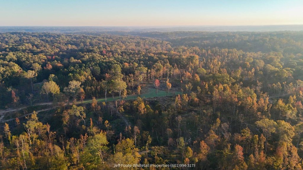
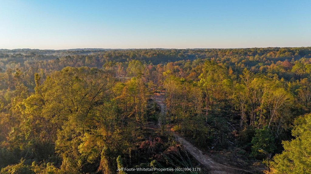
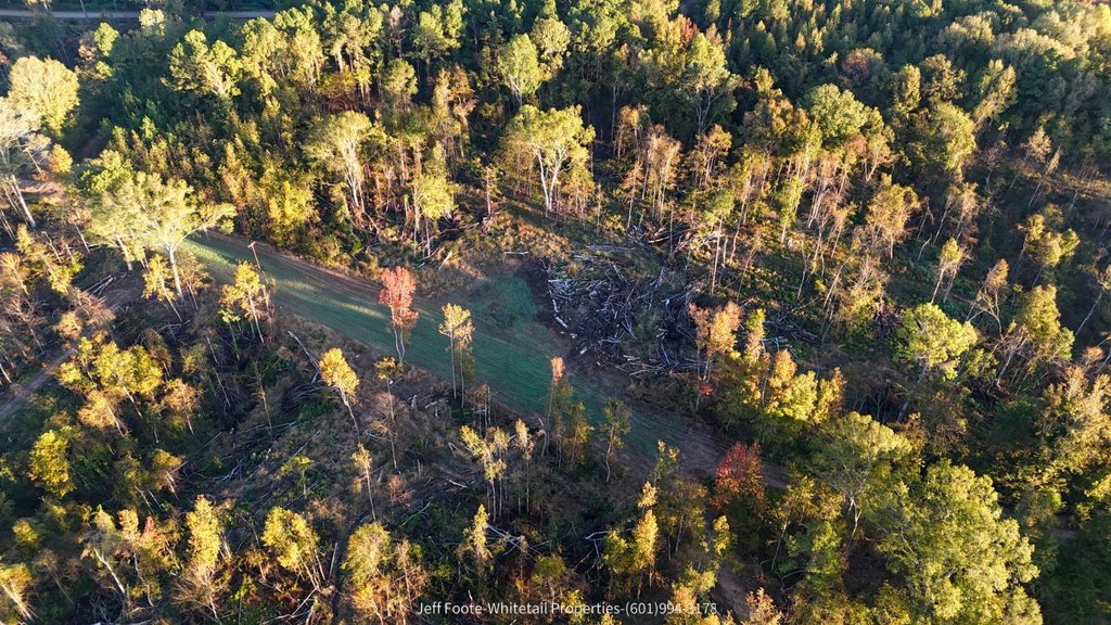
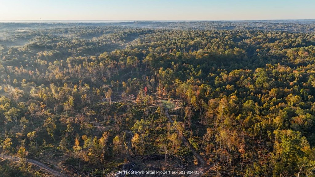
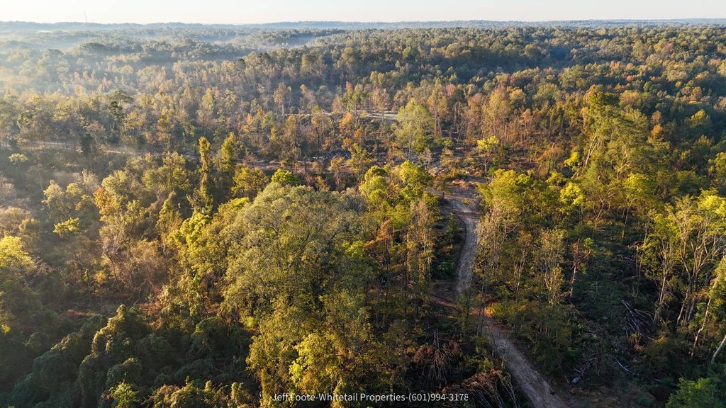
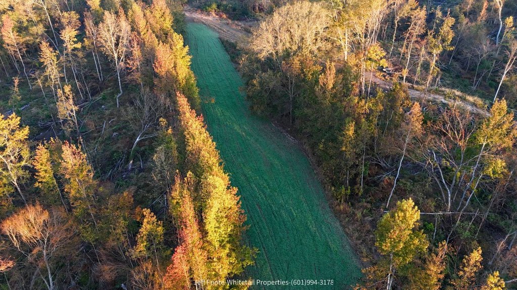
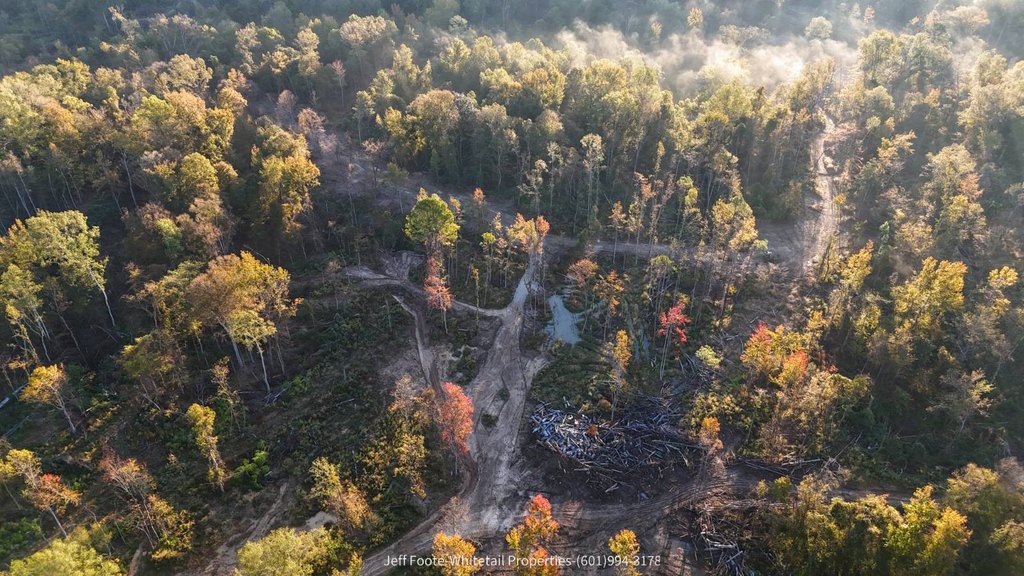
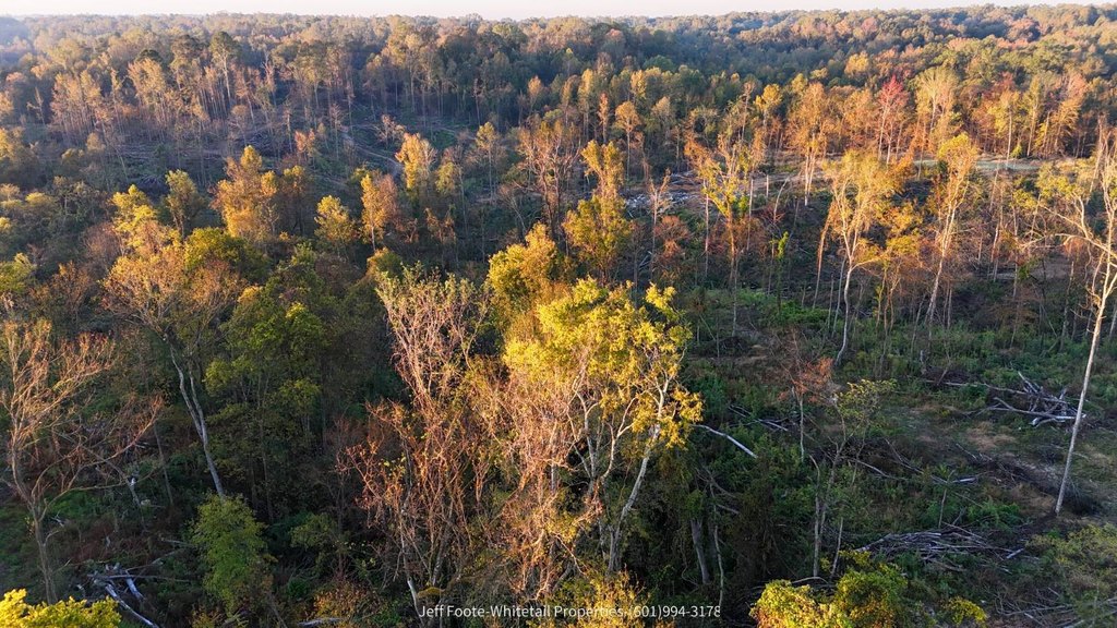
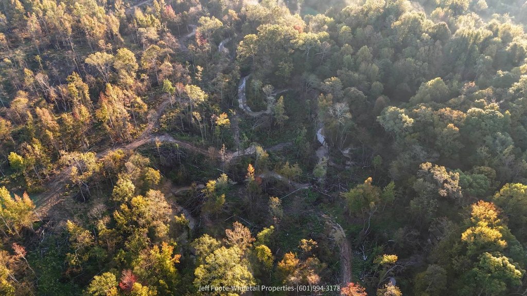
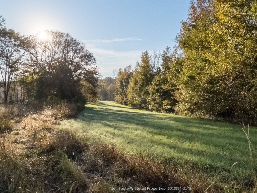
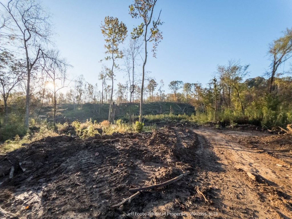
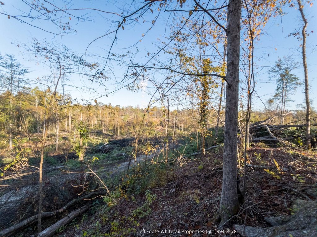
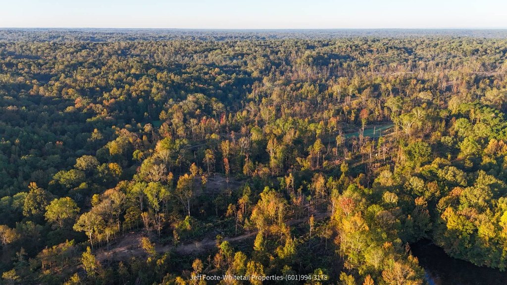
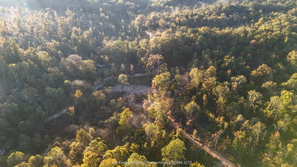
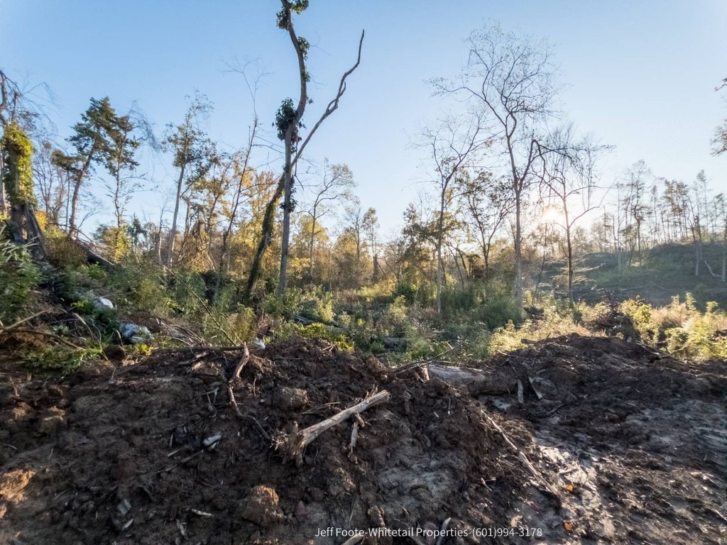
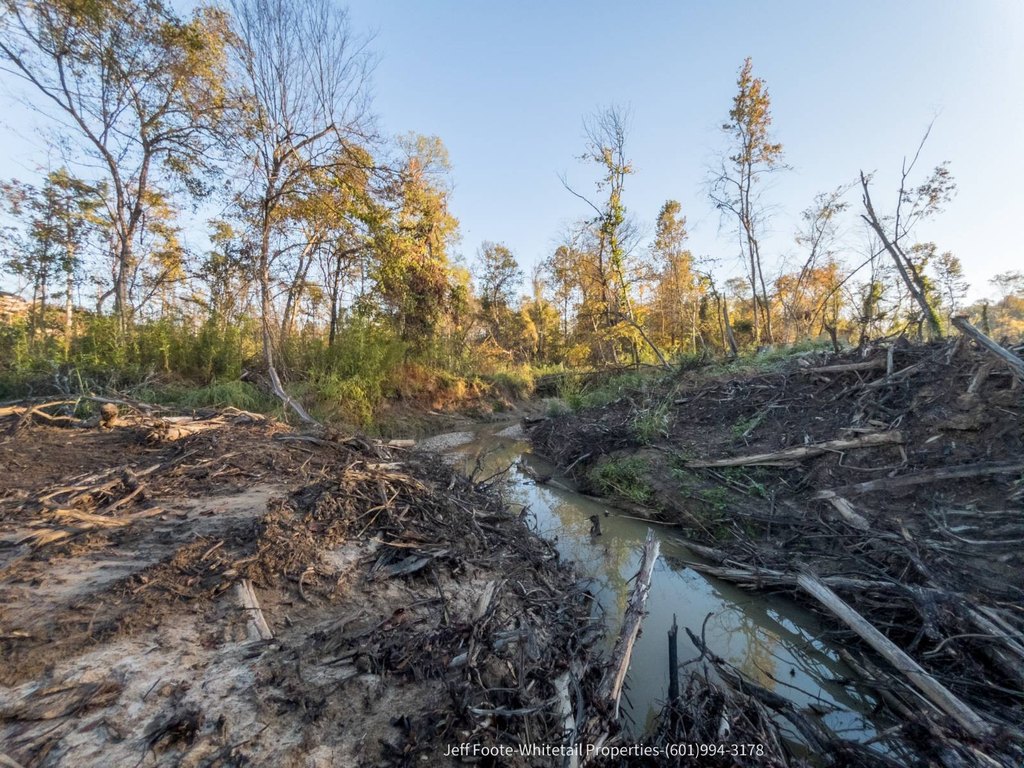
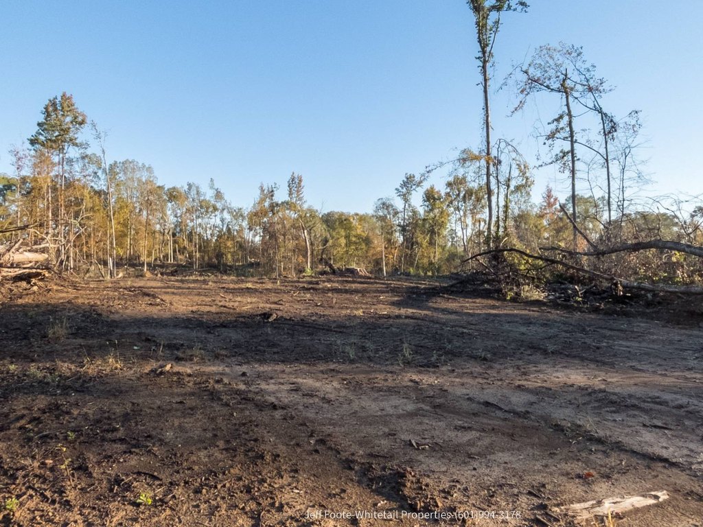
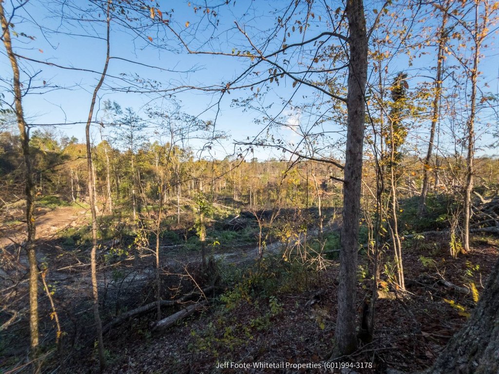
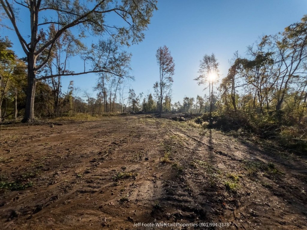
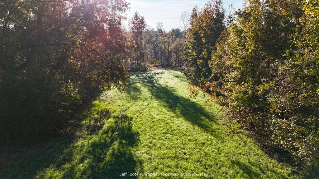
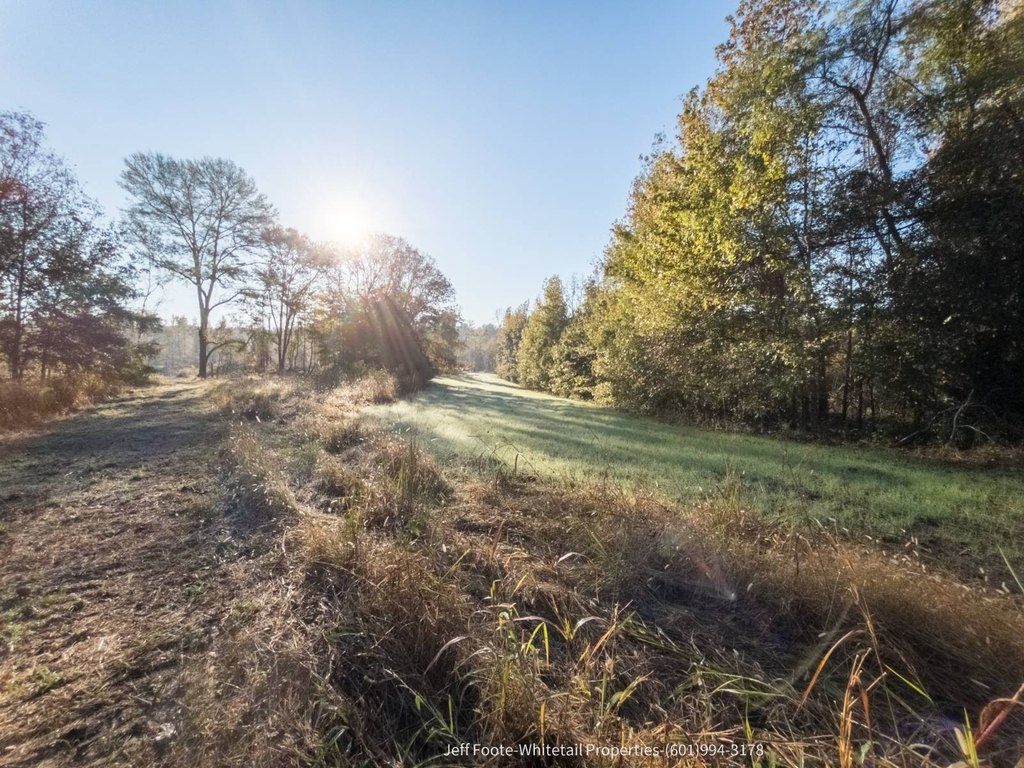
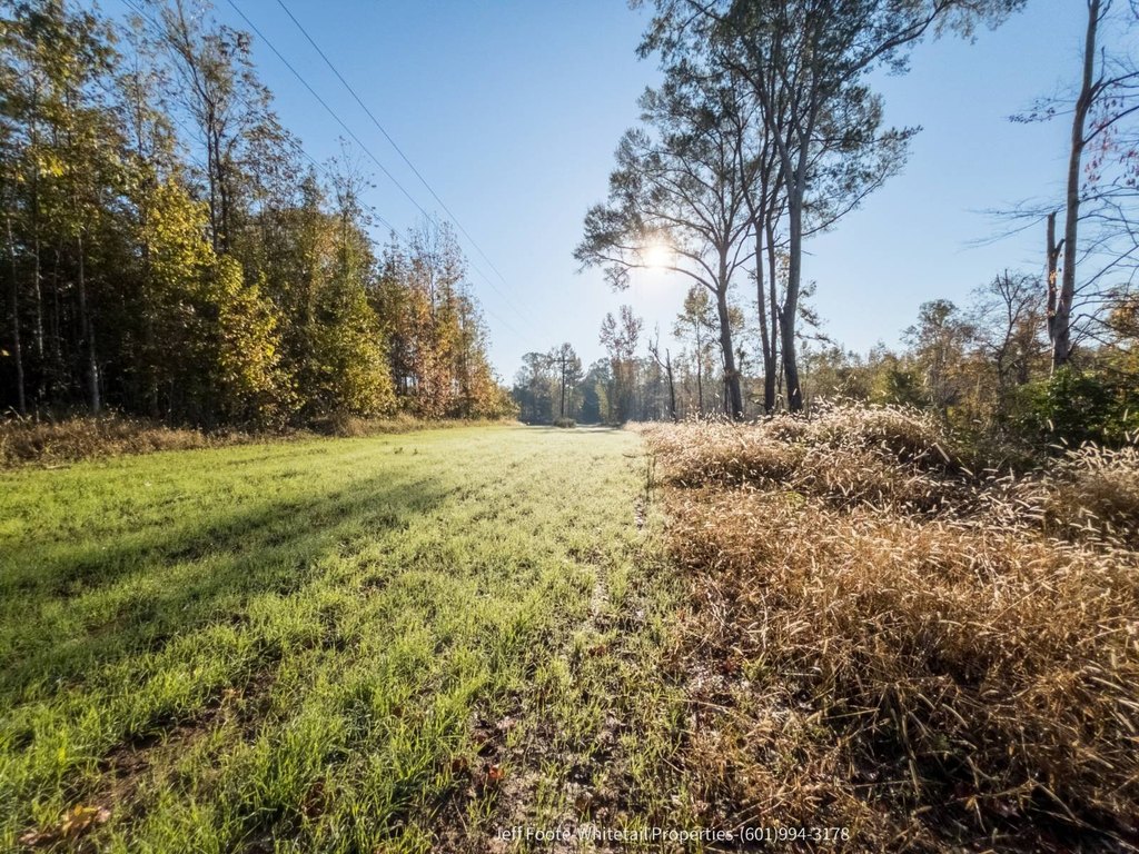
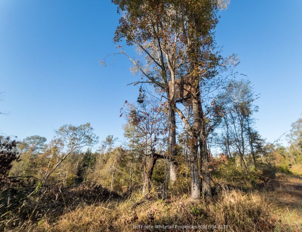
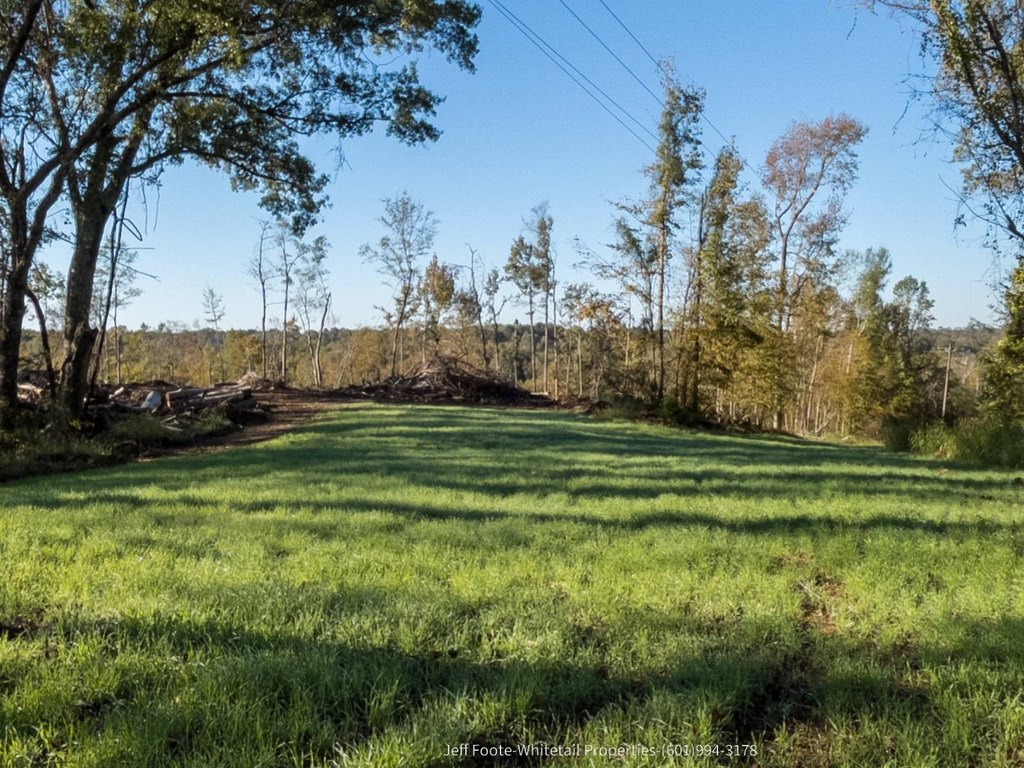
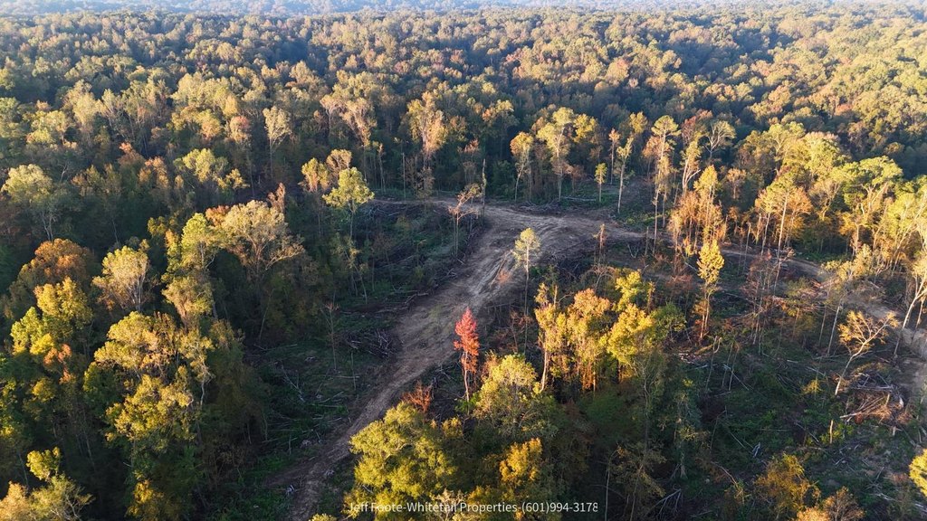
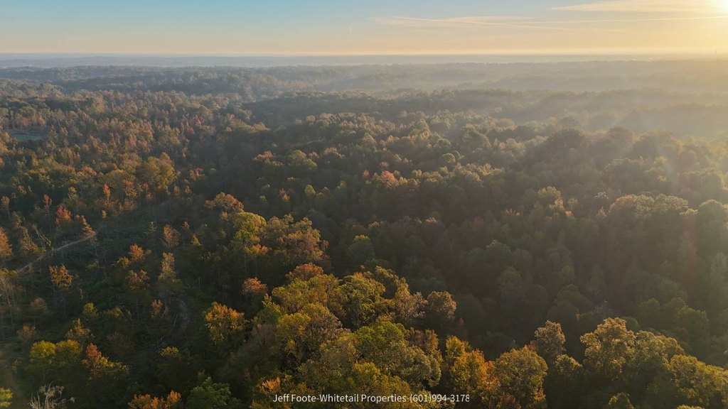
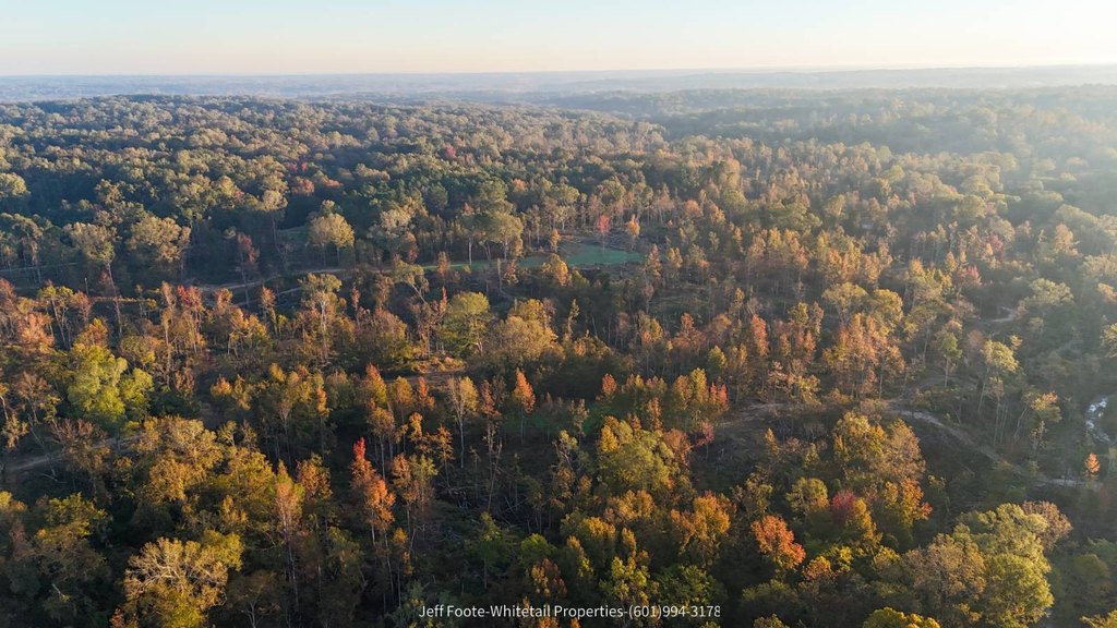
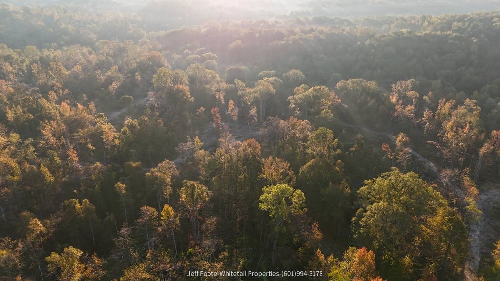
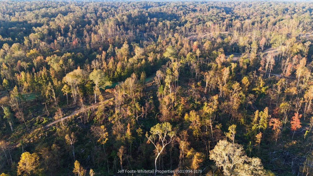
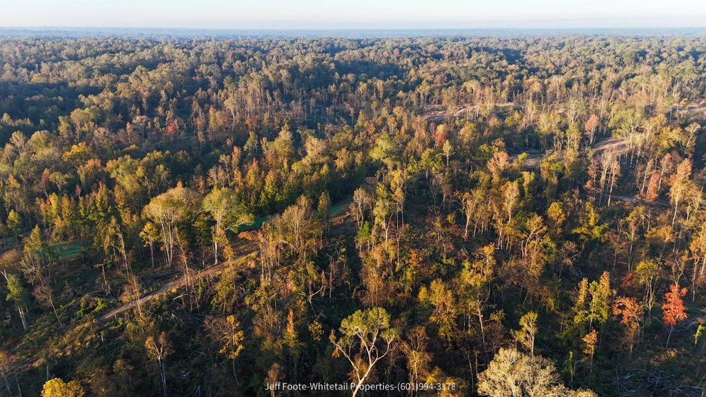
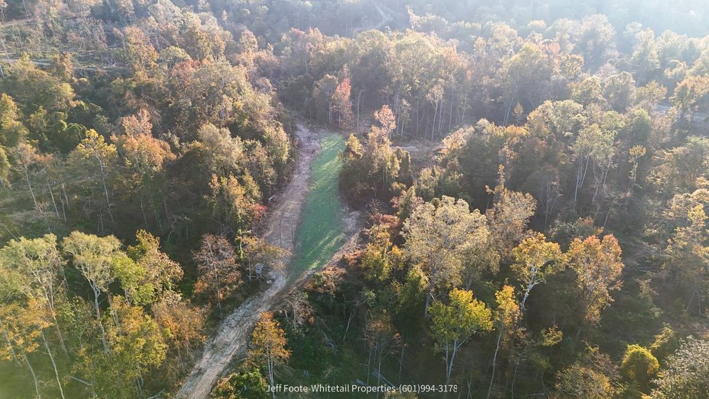
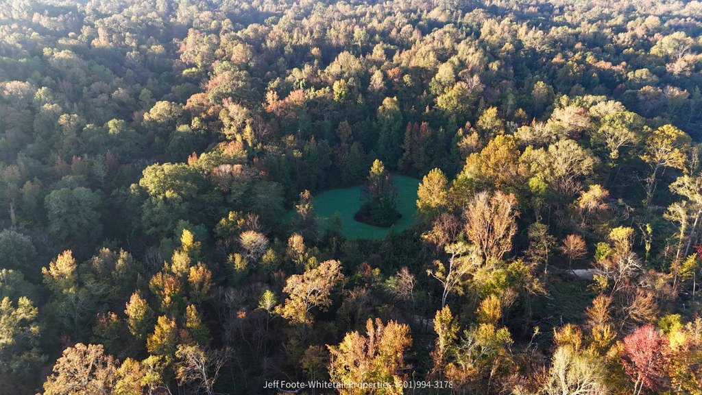
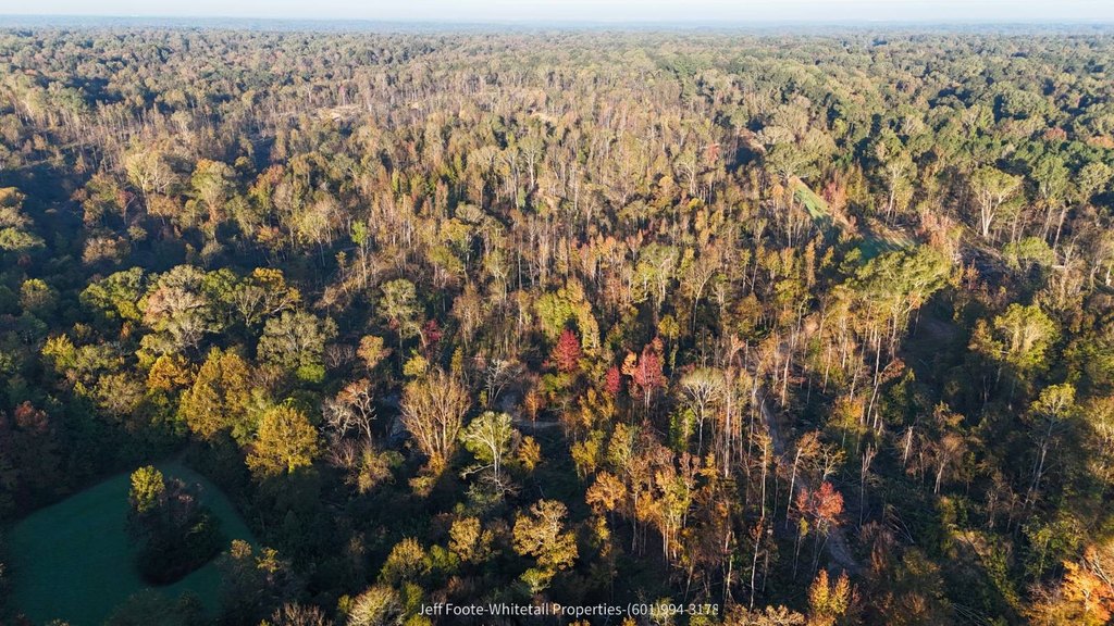
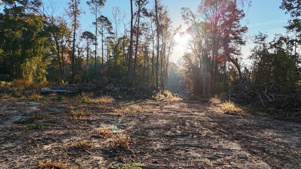
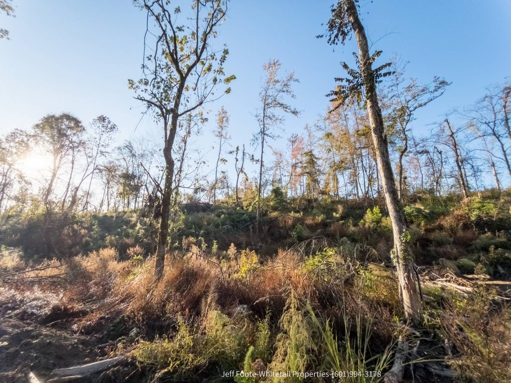
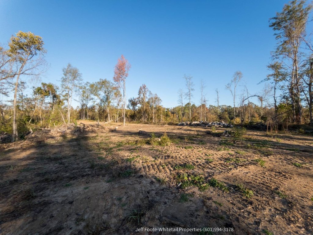
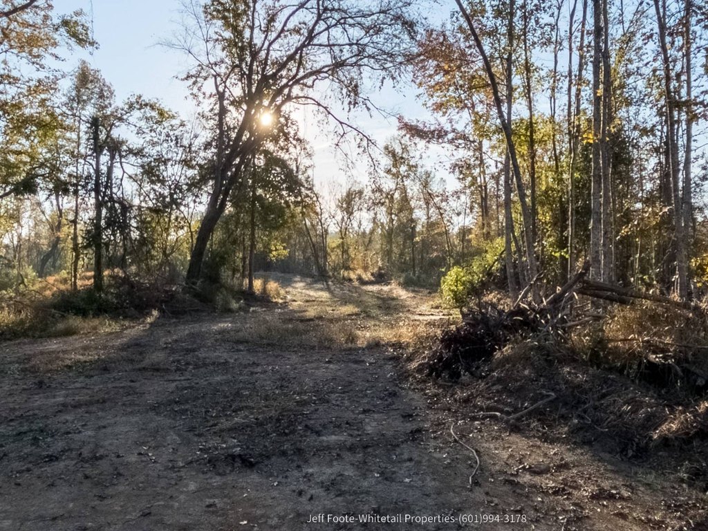
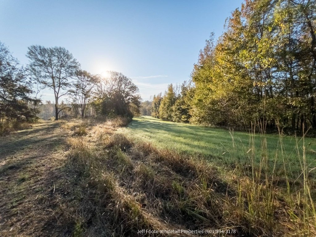
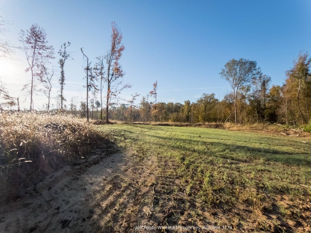
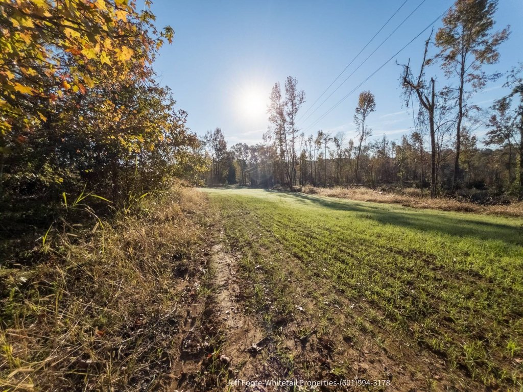
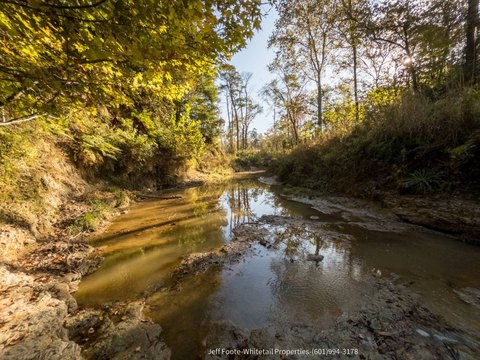
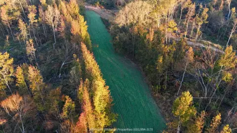
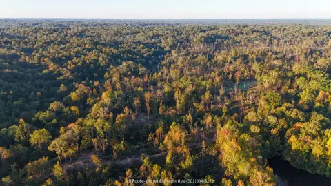
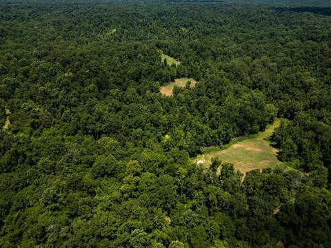
This 151-acre hunting and timberland tract offers rolling terrain with approximately 100 feet of elevation change from ridge to valley bottom. The property features year-round creek frontage on Centers Creek, which runs through the land and continues through neighboring acreage, supporting wildlife habitat and movement corridors. Existing internal improvements include newly constructed roads providing access throughout the tract, and several cleared food plots already in place and ready for planting. The timber has been recently harvested, leaving an open slate for a custom replanting plan or for natural regeneration to support early successional habitats.
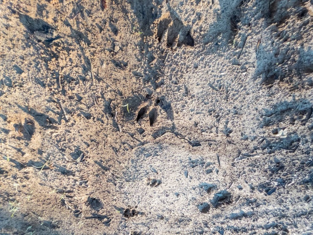
The tract is located in the western part of Claiborne County, Mississippi, just a few miles outside Port Gibson. It fronts approximately 0.36 miles of Rodney Road, a well-maintained paved public road, with convenient paved access into the property. Topography, soil, and access are consistent with land built for long-term wildlife management, with whitetail deer and wild turkeys noted as abundant in the area.
For buyers seeking rural acreage in west-central Mississippi, this property is positioned for practical hunting operations and ongoing wildlife management, supported by reliable water from the creek, established internal access roads, and food plots ready for use. The recent timber harvest adds flexibility for a range of ownership goals, whether focused on replanting, natural regeneration, or conservation planning.
The tract is located in the western part of Claiborne County, Mississippi, just a few miles outside Port Gibson. It fronts approximately 0.36 miles of Rodney Road, a well-maintained paved public road, with convenient paved access into the property. Topography, soil, and access are consistent with land built for long-term wildlife management, with whitetail deer and wild turkeys noted as abundant in the area.
For buyers seeking rural acreage in west-central Mississippi, this property is positioned for practical hunting operations and ongoing wildlife management, supported by reliable water from the creek, established internal access roads, and food plots ready for use. The recent timber harvest adds flexibility for a range of ownership goals, whether focused on replanting, natural regeneration, or conservation planning.
Key Highlights
- 151‑acre tract in western Claiborne County, MS, just a few miles outside Port Gibson
- Approximately 0.36 miles of frontage on Rodney Road with paved public road access
- Centers Creek runs through the property with year‑round water for habitat and movement corridors
Property Analytics
Property Profile
Current Use
Lease Details
Yes
Paved road access
Location Intelligence
Trade Area within ½ mile
3
Businesses Nearby
Explore this area
Business Placement
Demographics for 39150, MS
5,079
Population
2,699
Households
1.9
Avg Household Size
39
Median Age
23%
College-Educated
85%
High-School Grad
226.5 sq mi
ZIP Area
22
Density / Sq Mi
$36,343
Median Household Income
$26,779
Median Earnings
$629
Median Rent
$85,300
Median Home Value

Questions? Ask Rey
Realmo’s AI knows this listing — price, zoning, demand, history. Ask anything.
Frequently Asked Questions
What type of property is this?
Hunting land - 151-acre tract with paved road frontage, year-round creek access, and internal roads for straightforward rural use.
Where is this hunting land located?
The property is located at Rodney Road Port Gibson, MS.
What is the asking price?
The asking price for this property is $521,000.
What are key features of this property?
This property features: 151‑acre tract in western Claiborne County, MS, just a few miles outside Port Gibson; Approximately 0.36 miles of frontage on Rodney Road with paved public road access; Centers Creek runs through the property with year‑round water for habitat and movement corridors


