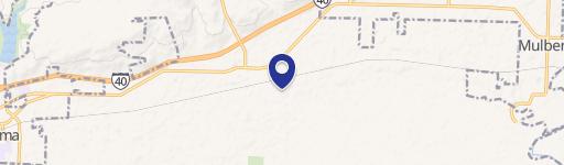
River Road, Dyer, AR 72935
- Added:
- Feb 19, 2026
- Days on Market:
- 128
- Last Refresh:
- Jun 27 at 5:06 pm
Property Features for River Road
General Information
- Property type
- Land
- Property subtype
- Other
- Vegetation
- Wooded
- Standard status
- Active
- APN
- 001-01141-000
- Lot size
- 93.00 Acres
Taxes and HOA fees
- Tax Description
- FRL W/2 SW
- Tax Annual Amount
- 821
Utilities
- Water source
- Well Needed
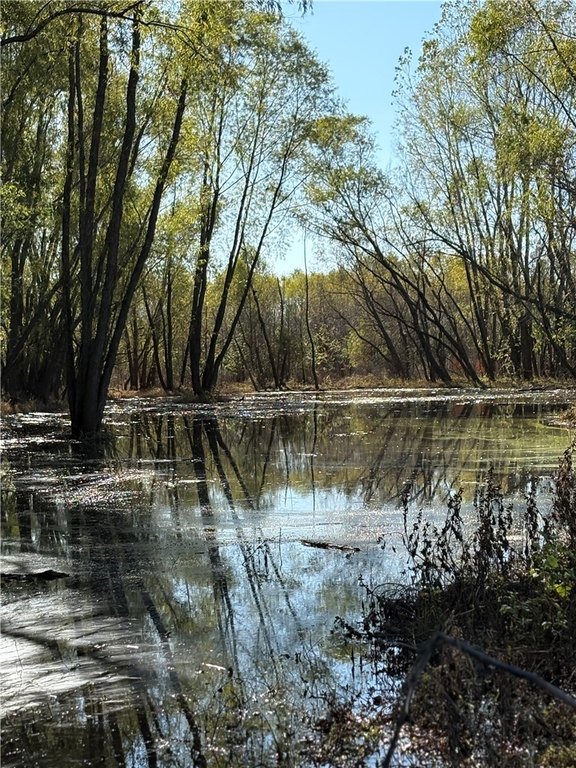
- Water front
- 1
Listing agent Christopher Malinowski License #SA00087705 (214) 738-7320
Listing office Mossy Oak Properties Field, Farm, and Homes 1200 Fort Street, Barling, AR (479) 480-7000
Listing date Feb 19, 2026
Copyright © 2026 ArkansasONE MLS. All rights reserved. All information provided by the listing agent/broker is deemed reliable but is not guaranteed and should be independently verified.
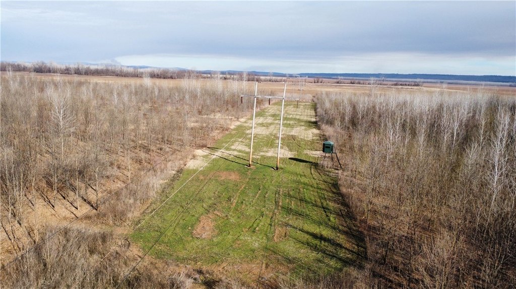
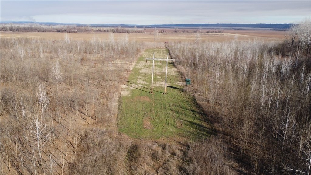
HighLights
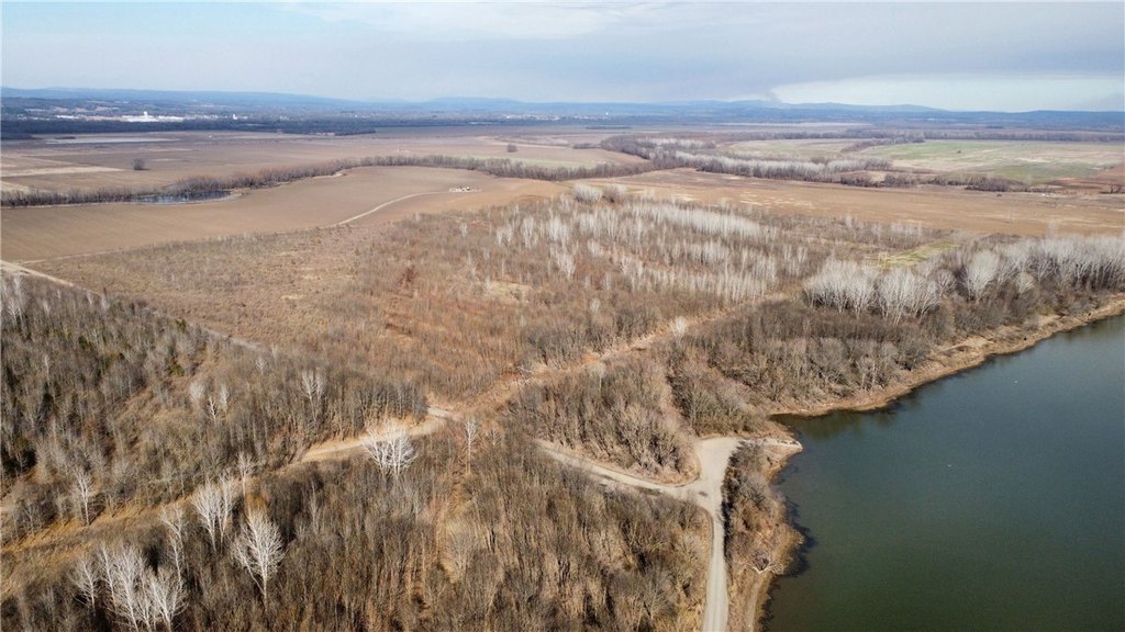
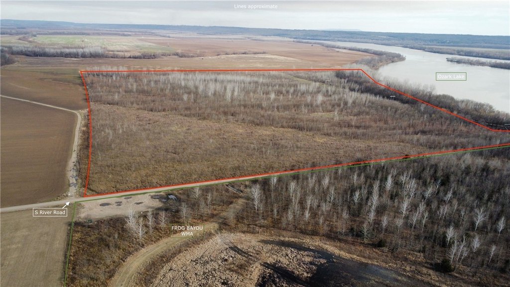
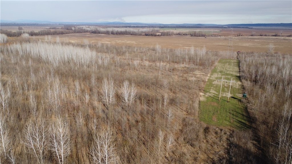
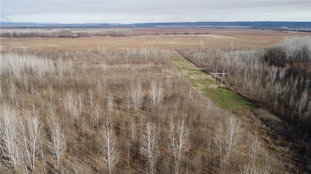
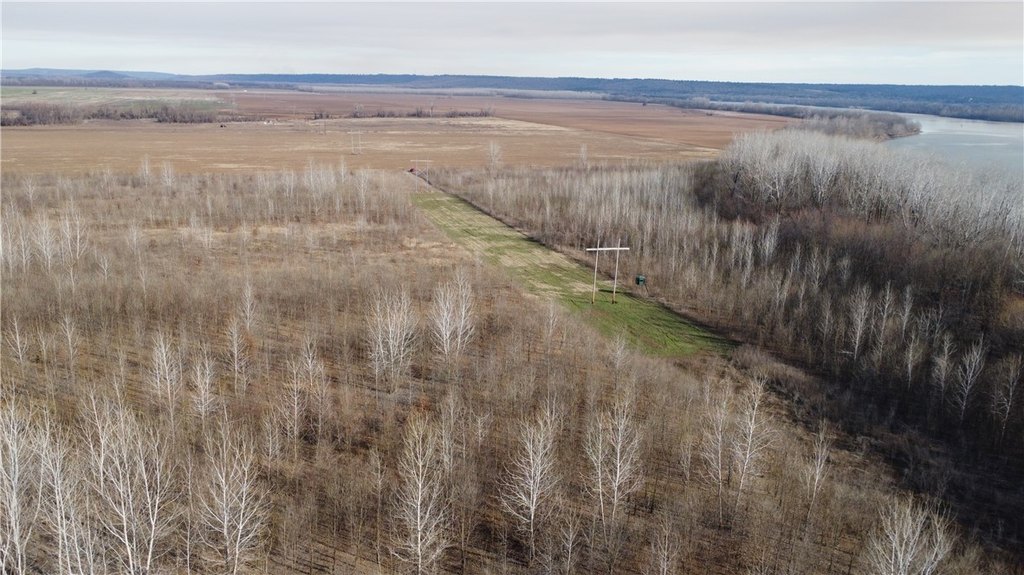
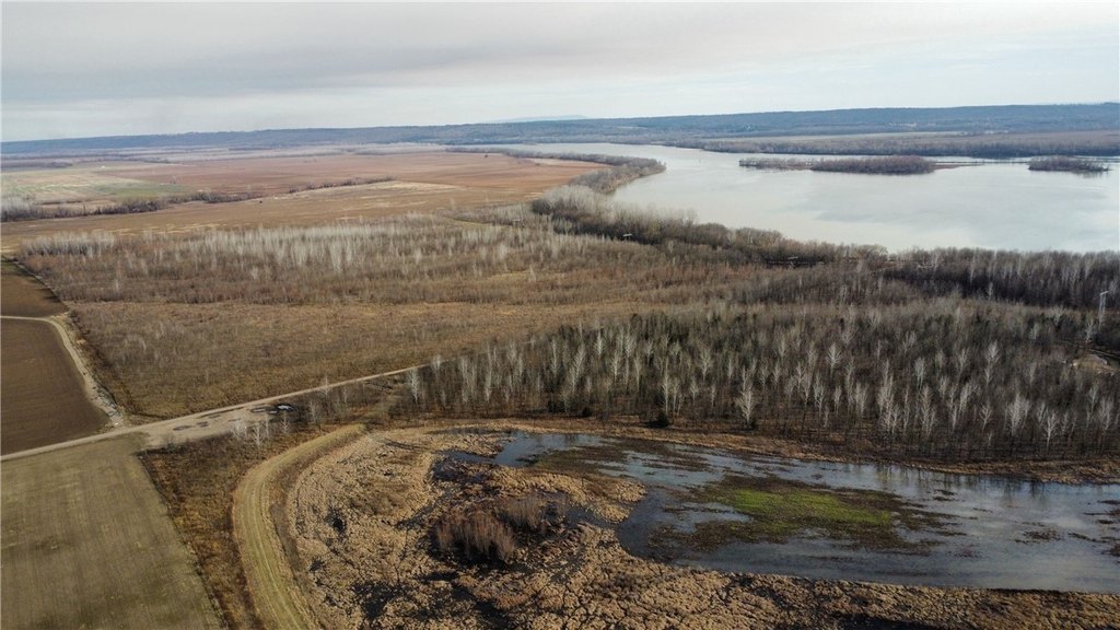
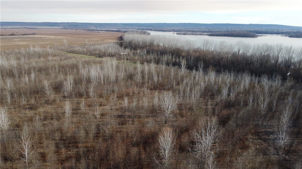
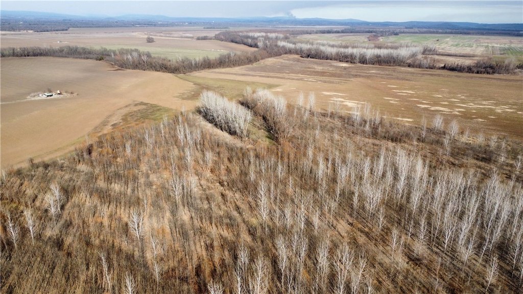
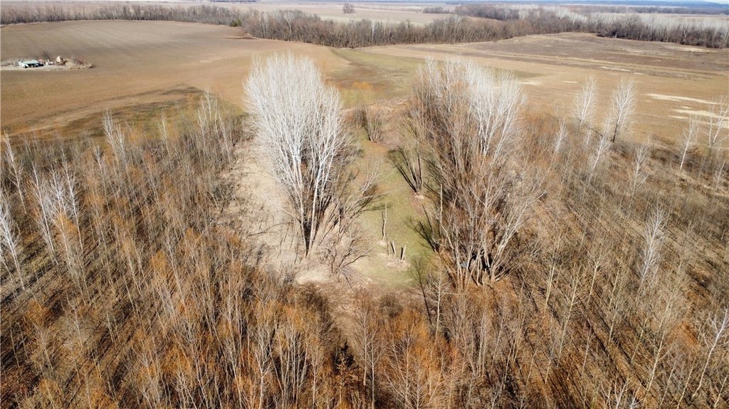
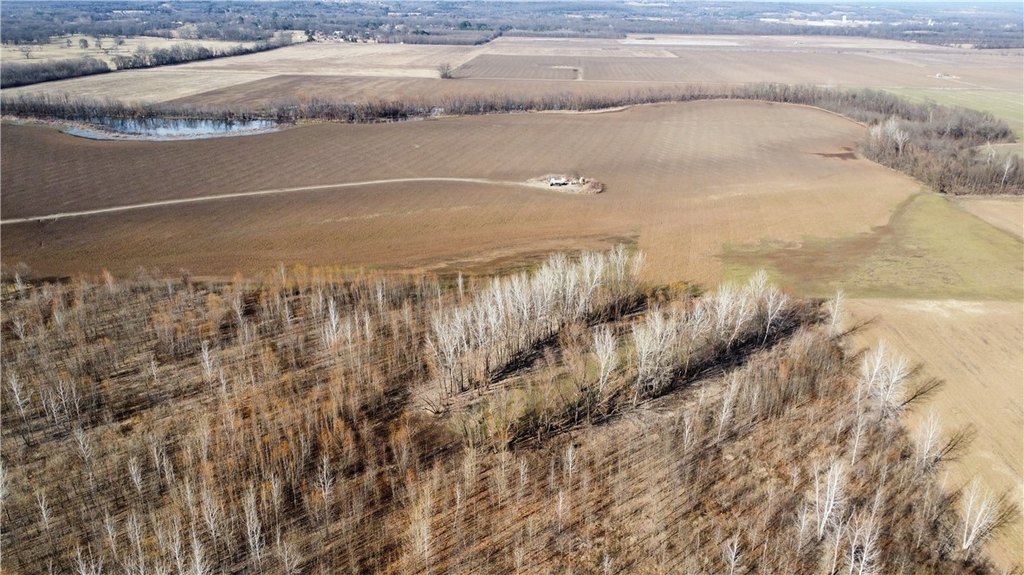
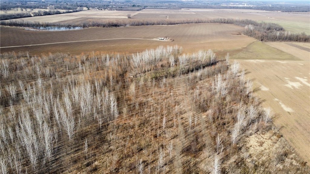
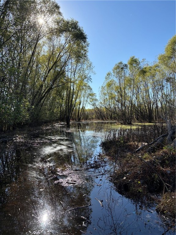
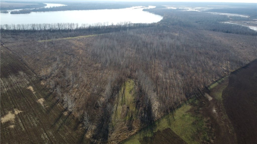
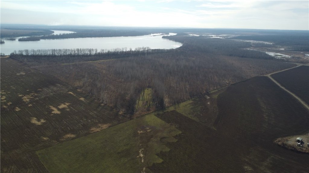
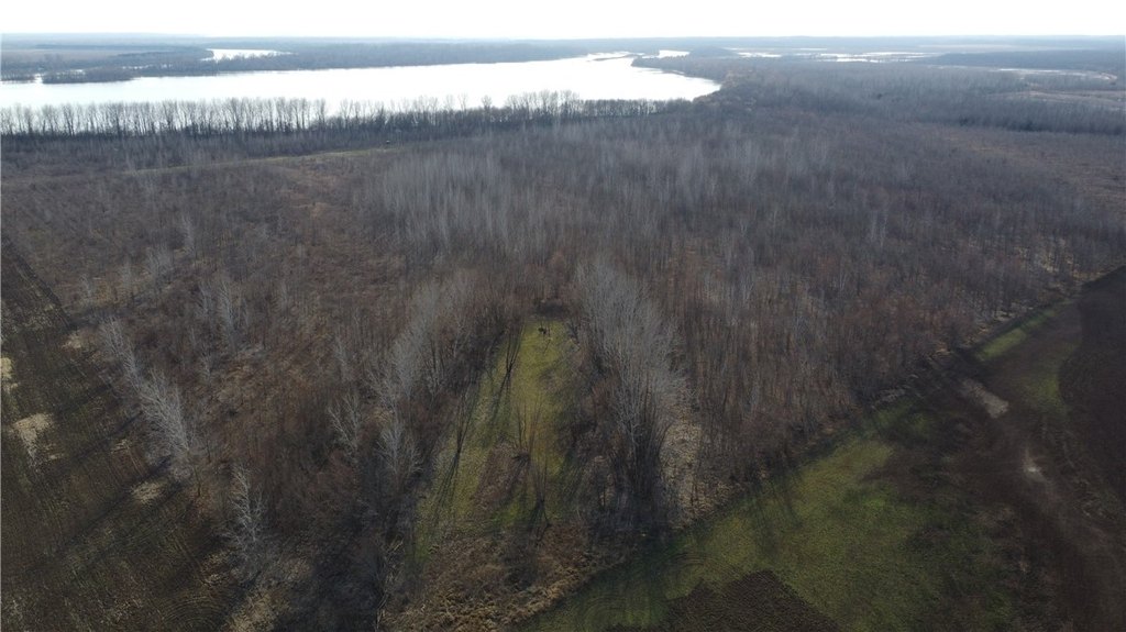
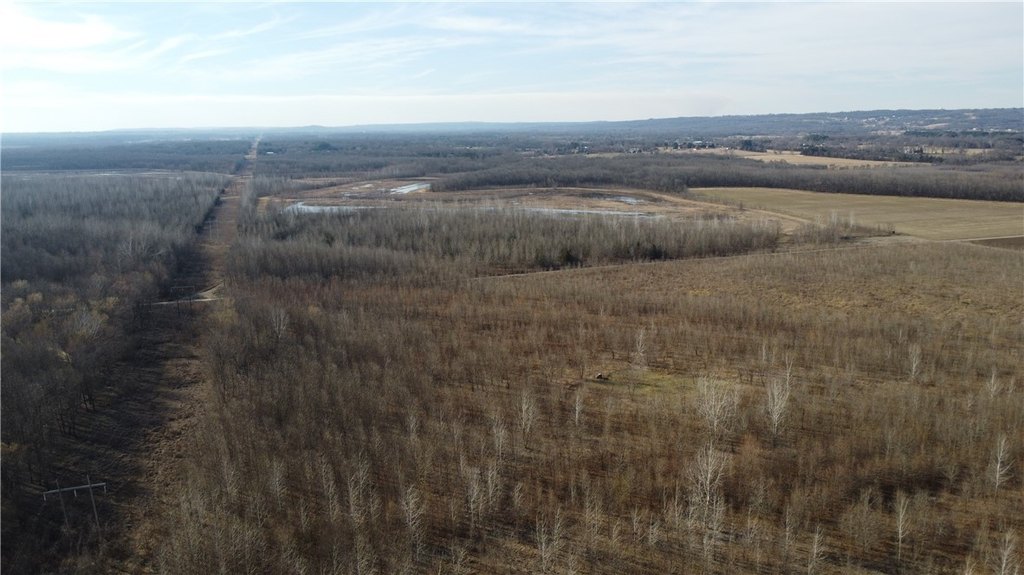
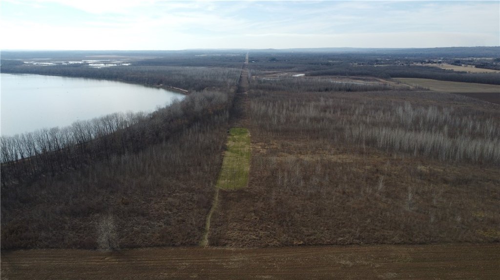
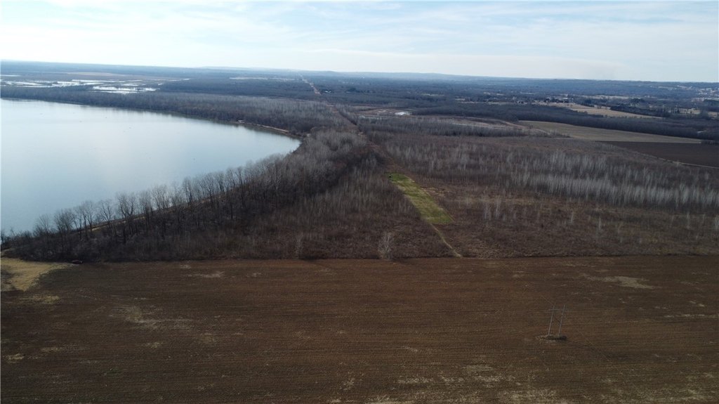
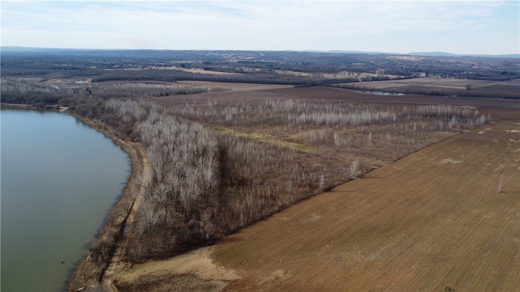
- Prime location between Frog Bayou WMA and the Arkansas River, ideal for traveling wildlife.
- Fully enrolled in WRP, allowing duck hunting and quality deer management.
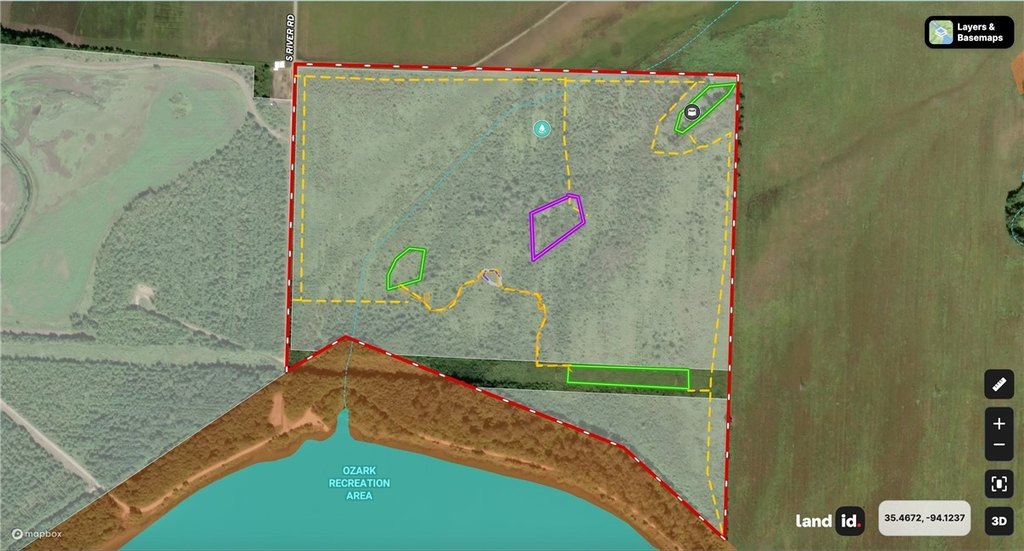
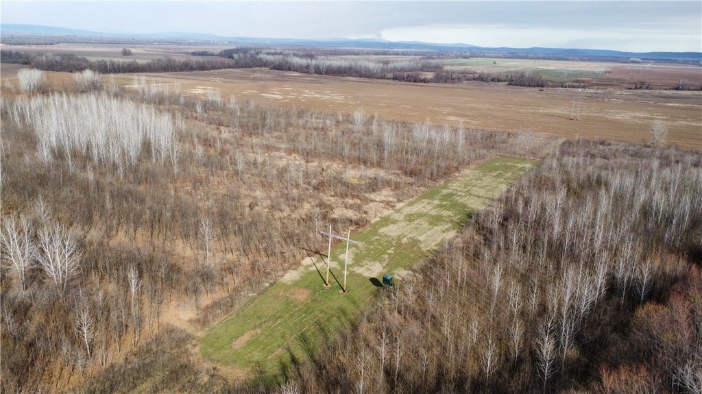
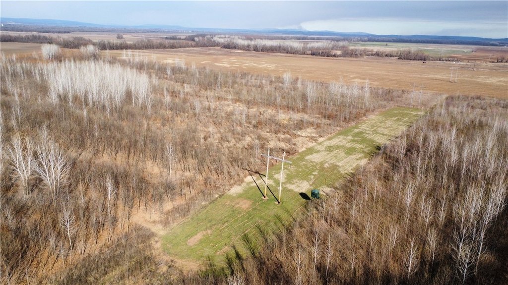
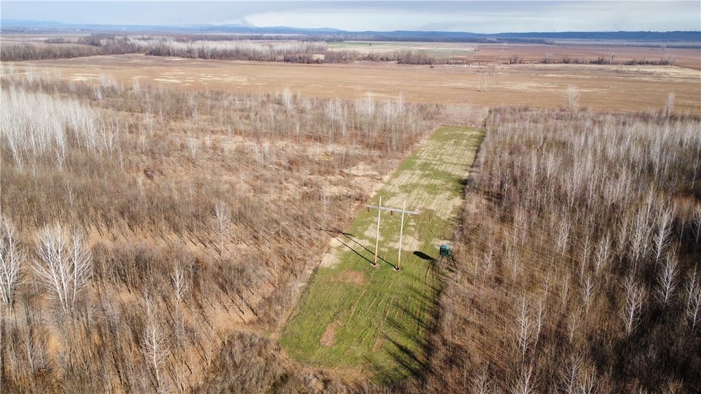
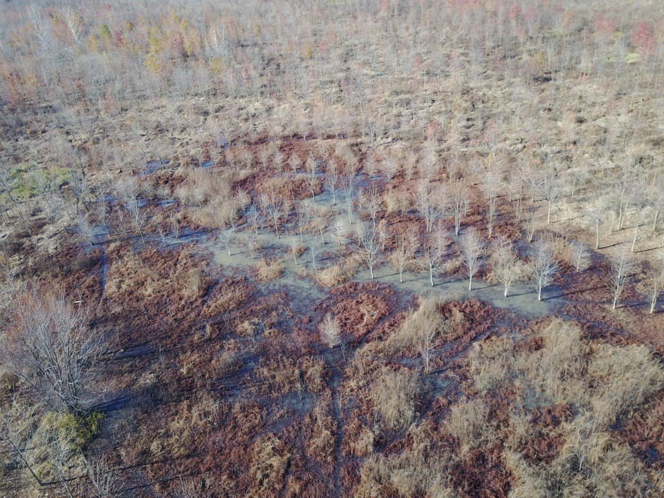
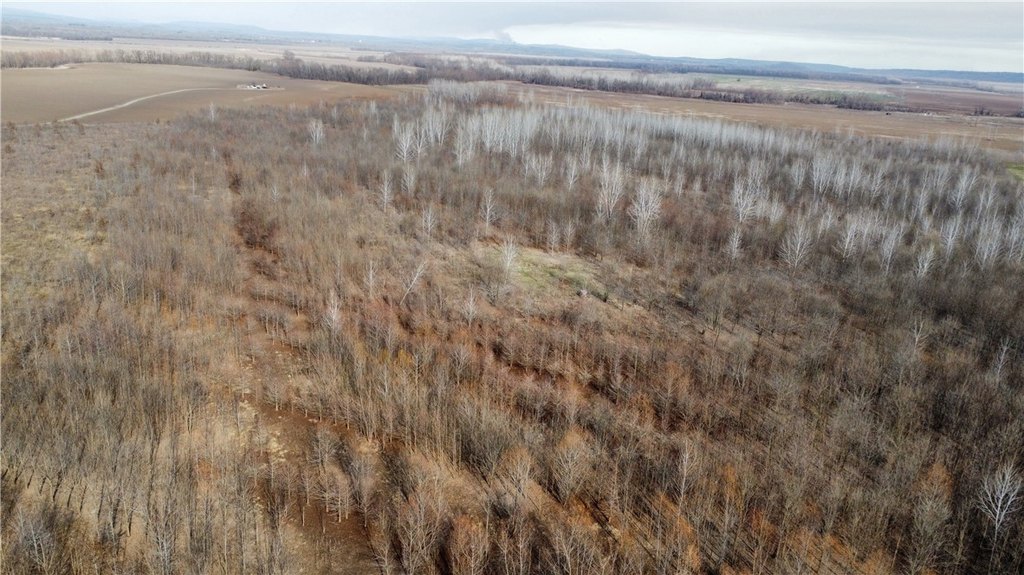
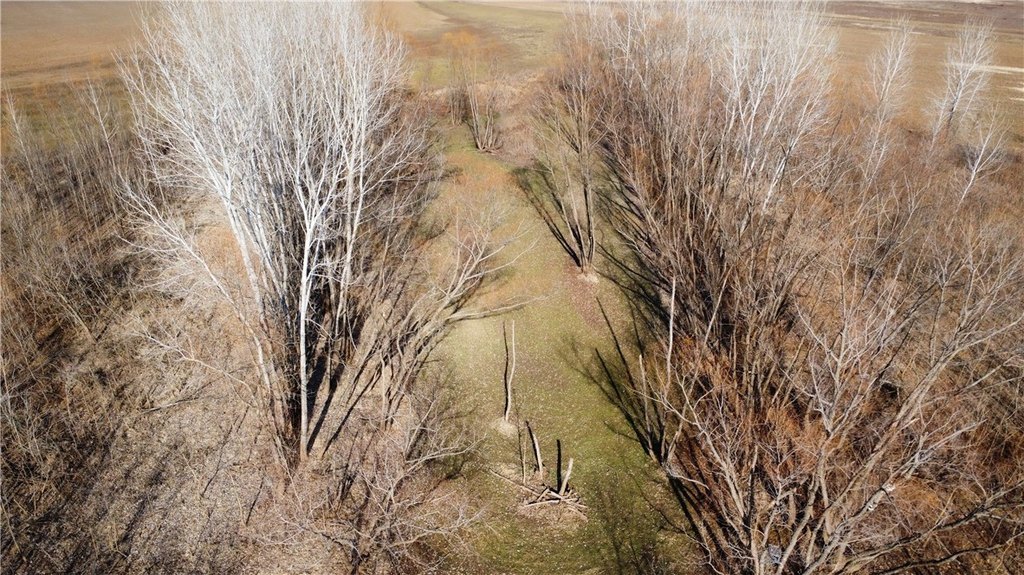
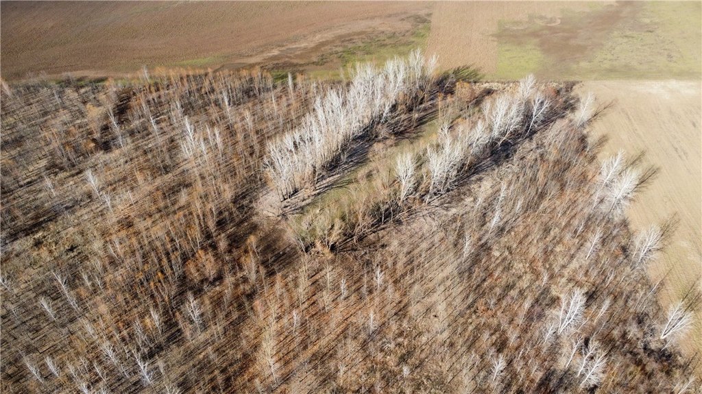
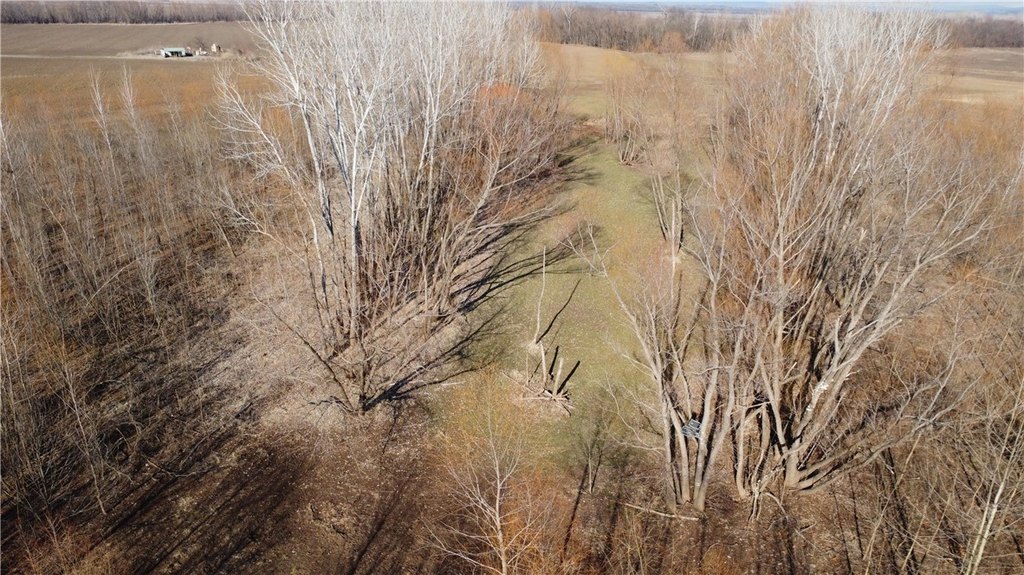
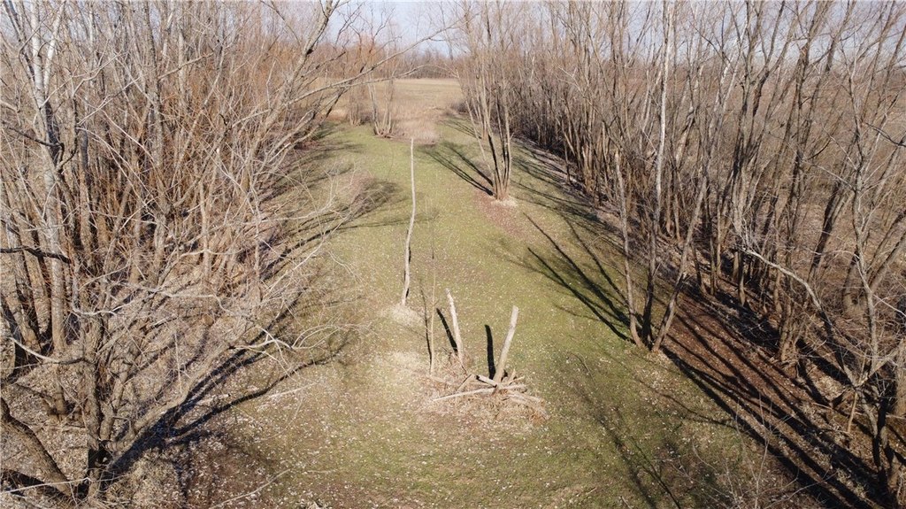
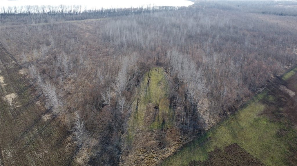
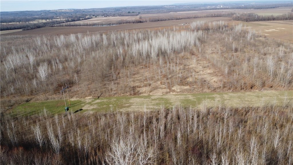
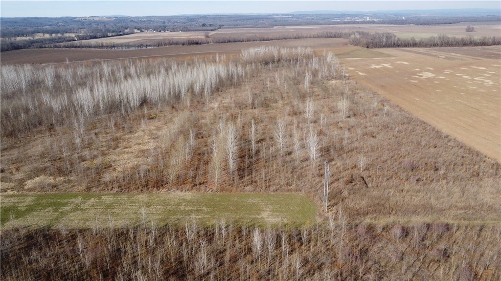
- Excellent habitat featuring young bottomland hardwoods, aquatic vegetation, transition areas, and small meadows.
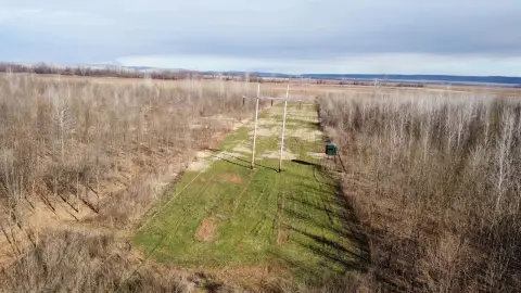
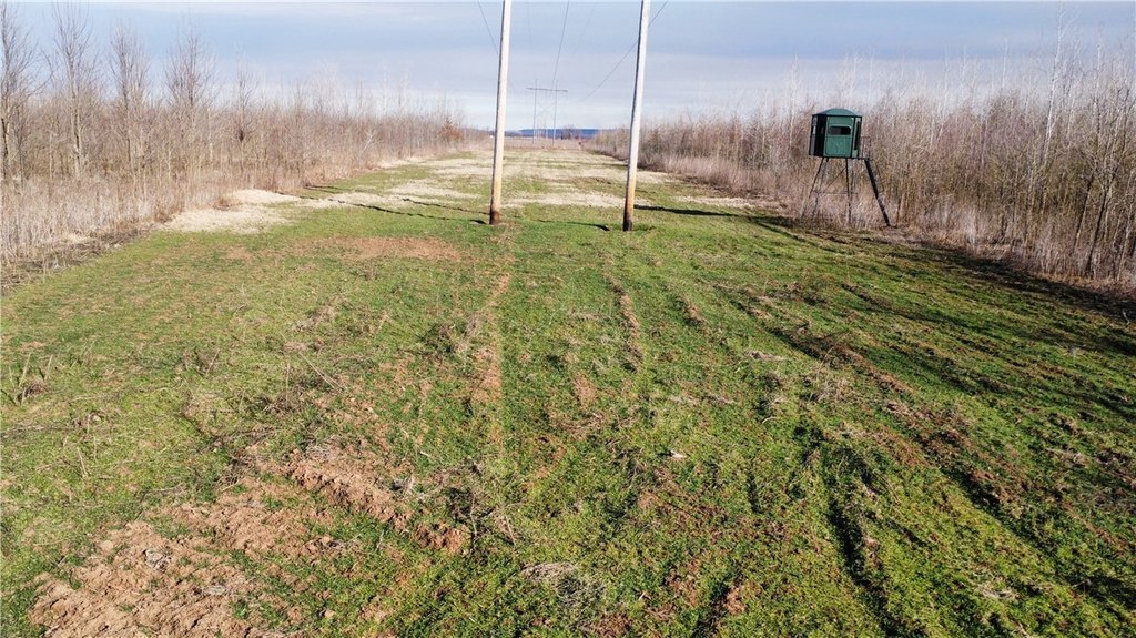
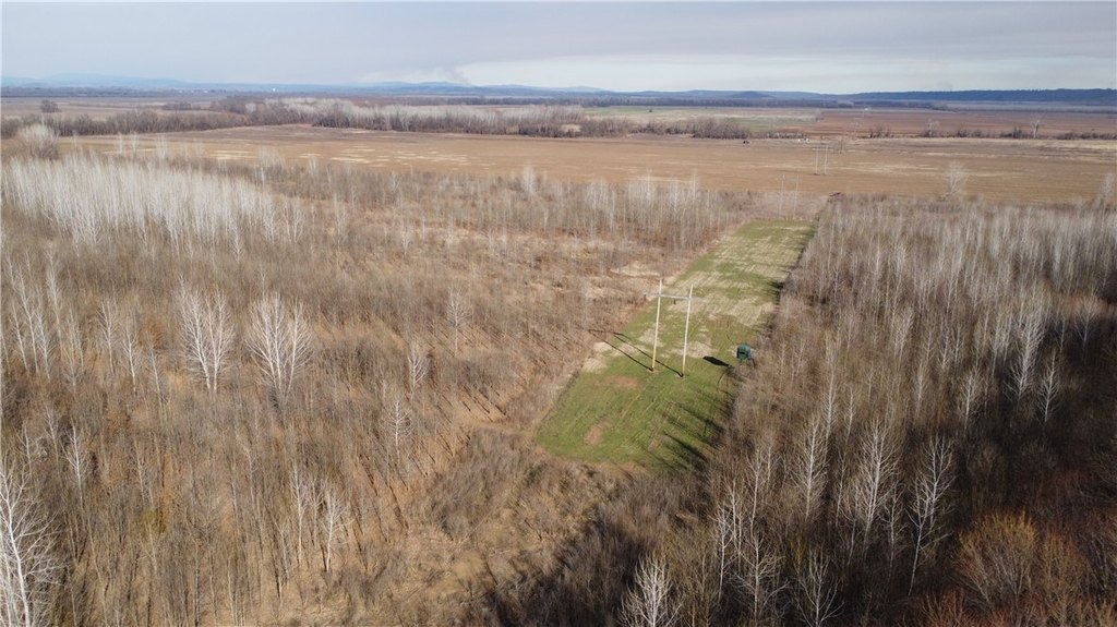
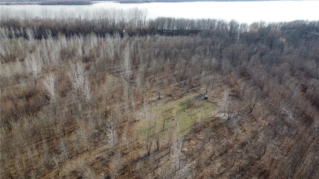
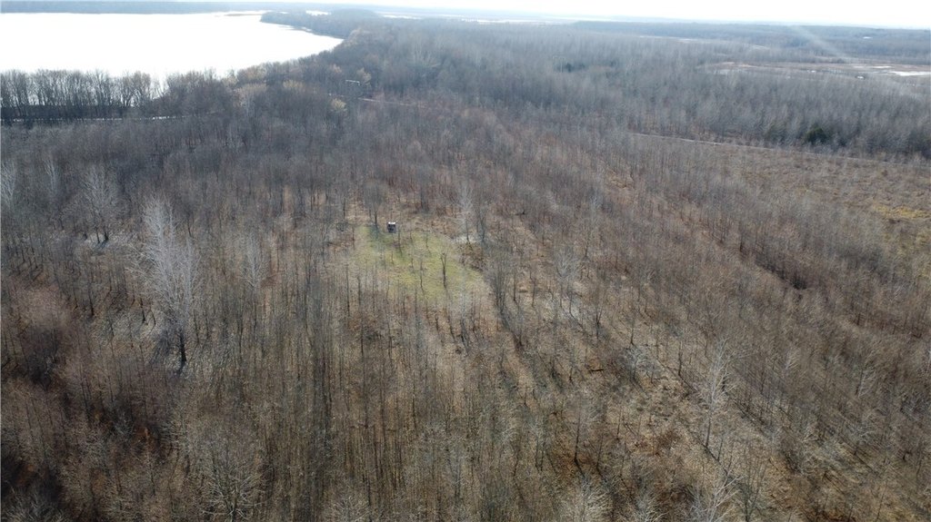
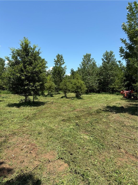
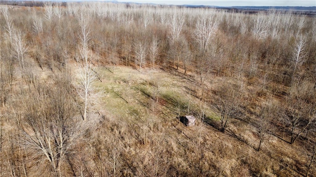
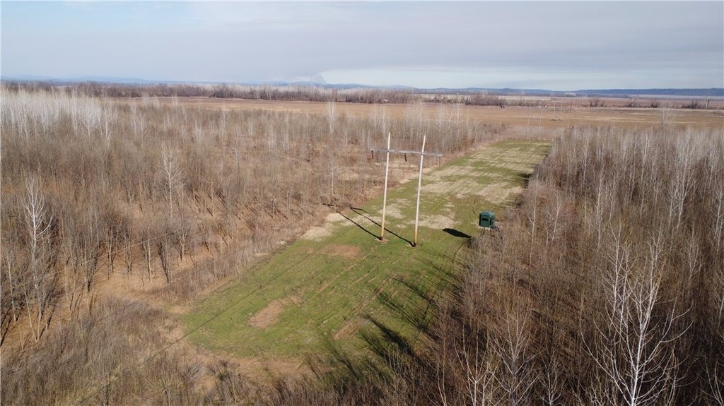
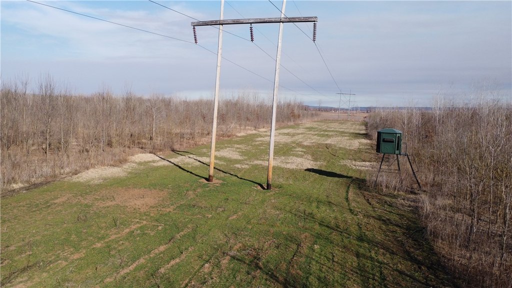
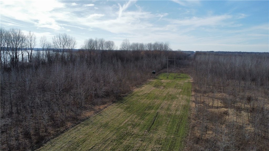
- Three NRCS‑approved food plots within thick bedding areas.
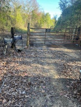
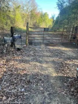
- Perimeter trails providing access to stand sites.
- Includes a 1.5‑acre food plot with a Redneck 6x6 Buck Palace on a 10‑foot stand.
Overview
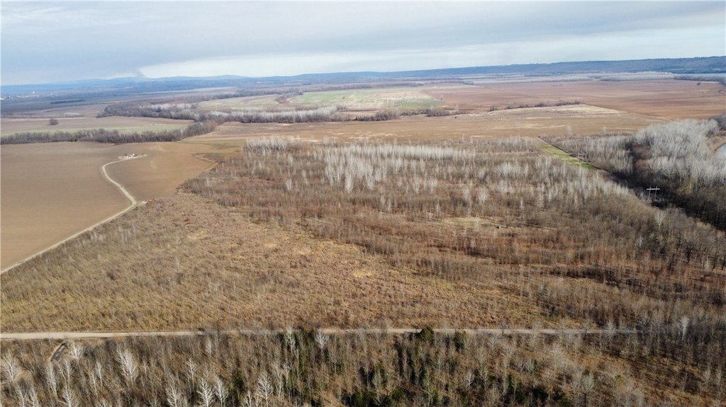
The tract sits along the Arkansas River, with Frog Bayou WMA to the west. The combination of river and bayou influences includes thick willow break habitat, and the property is designed for traveling wildlife. In wet years, the willow break supports duck hunting, while the remainder of the acreage can be managed for deer.
For hunters seeking a WRP-enrolled bottomland property with established food-plot infrastructure and on-site stand access, this tract is configured for both deer and waterfowl seasons. The mix of cover, water-adjacent vegetation, and food-plot locations supports varied stand placement across different wind directions, while being surrounded by extensive nearby soybean acreage.
Current Use by Public Records
Map
- City
- Dyer
- County
- Crawford
- State
- Arkansas
- Longitude
- -94.130404
- Latitude
- 35.46467