Wooded Recreation
New
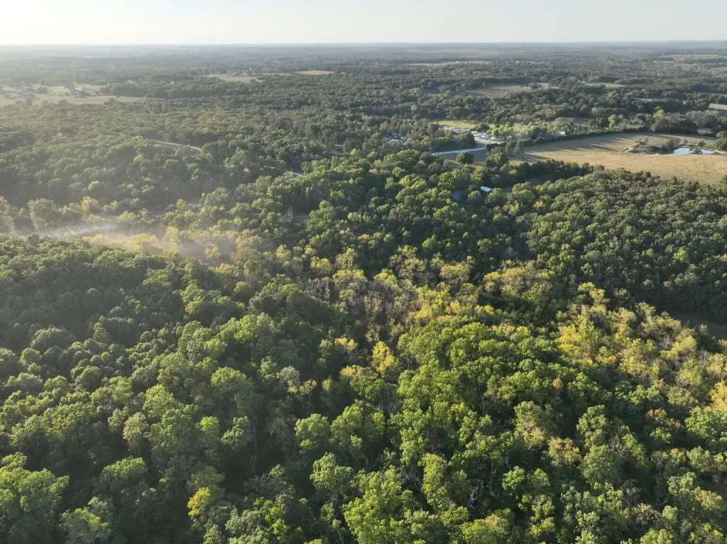
For Sale
$170,000
Rifle Range Road, Marshfield, MO 65706
Land, Marshfield, MO
Property SizeContact for details
Lot Size12.99 Acres
Days on Market2
Property Features for Rifle Range Road
General Information
Property type
Land
Property subtype
Other
Subdivision
Webster-Not in List
Elementary school
Marshfield
Middle school
Marshfield
High school
Marshfield
Directions
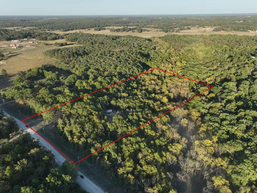
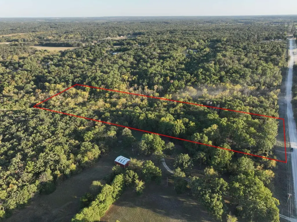
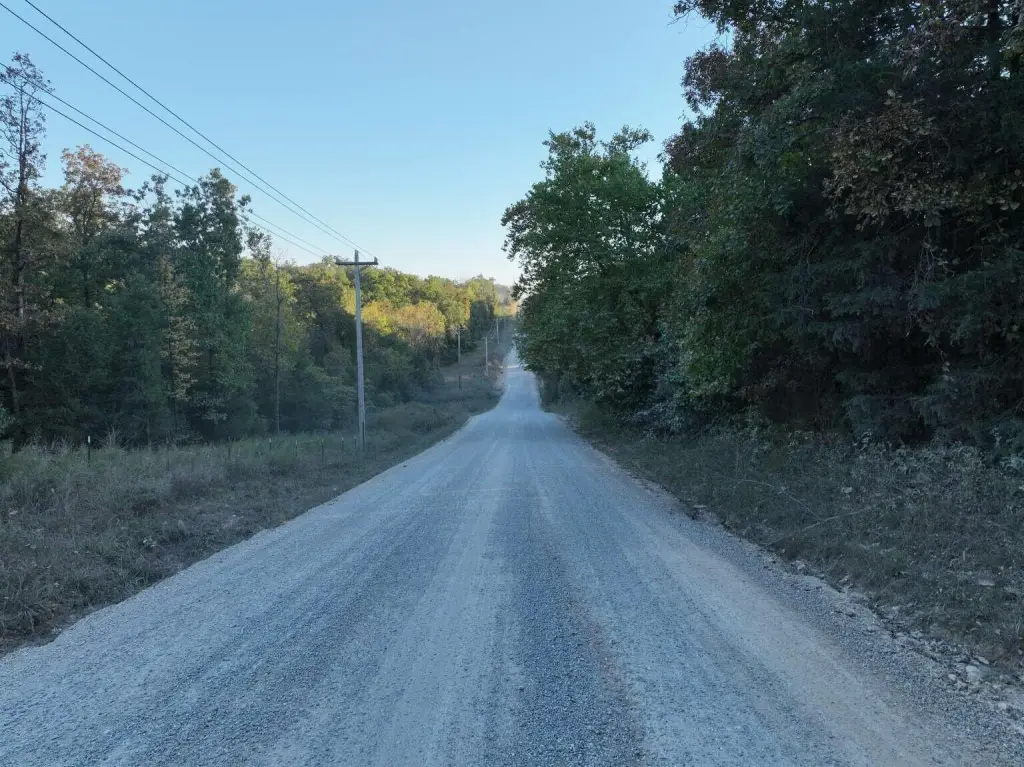
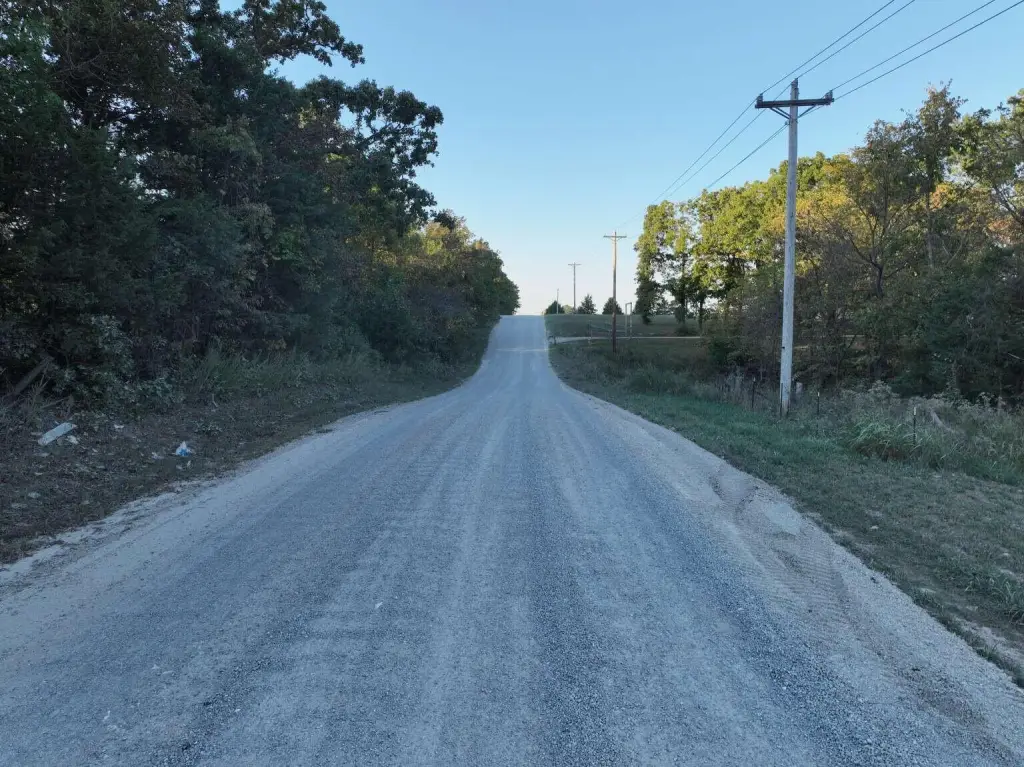
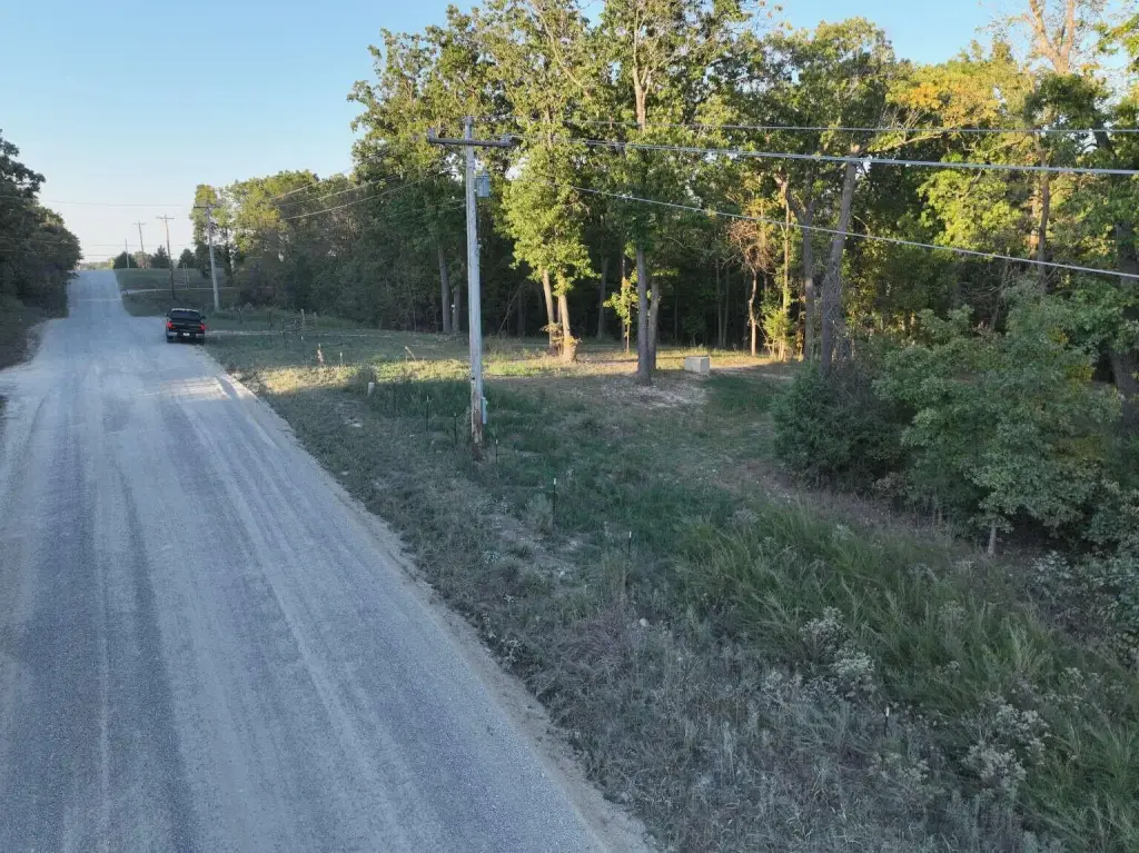
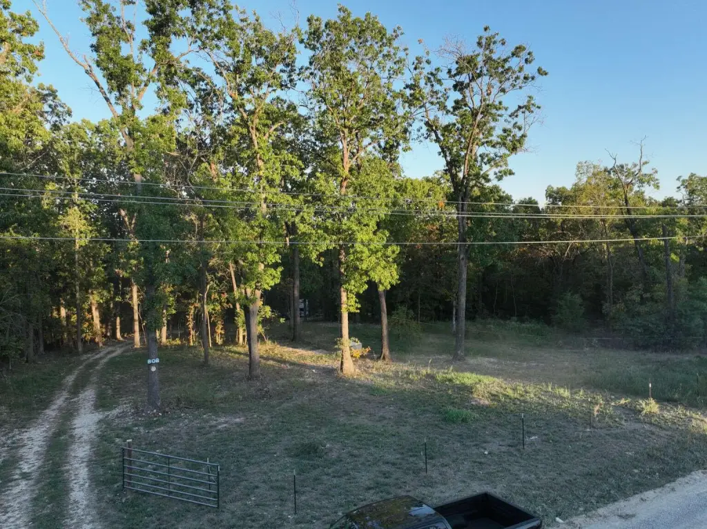
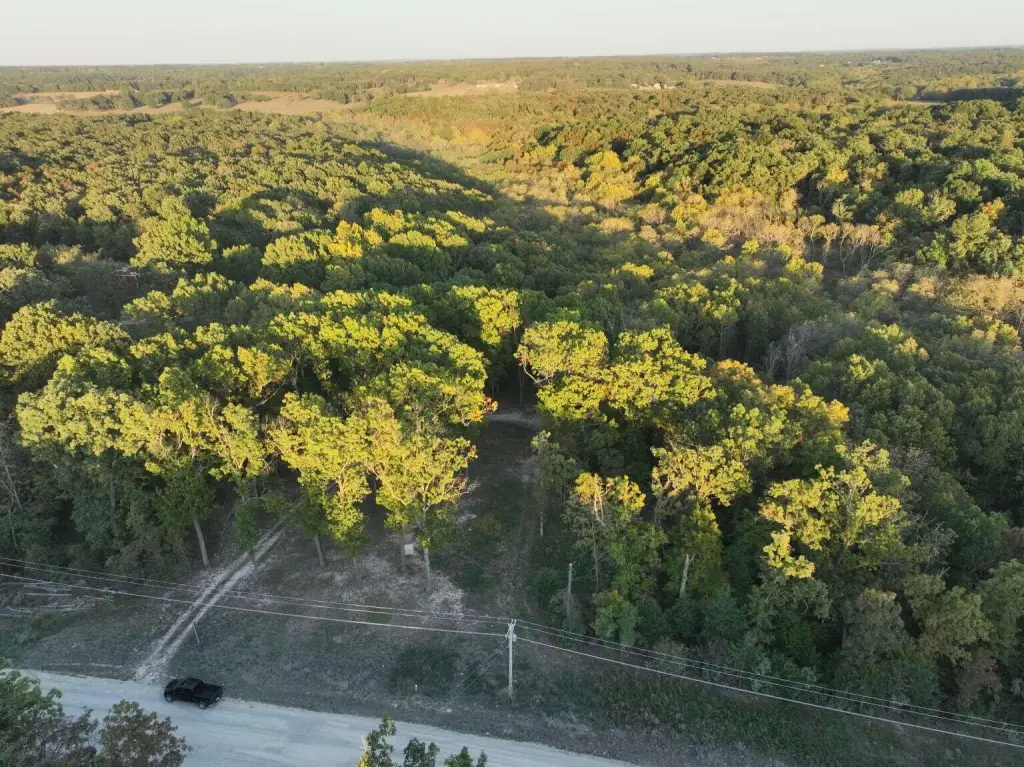
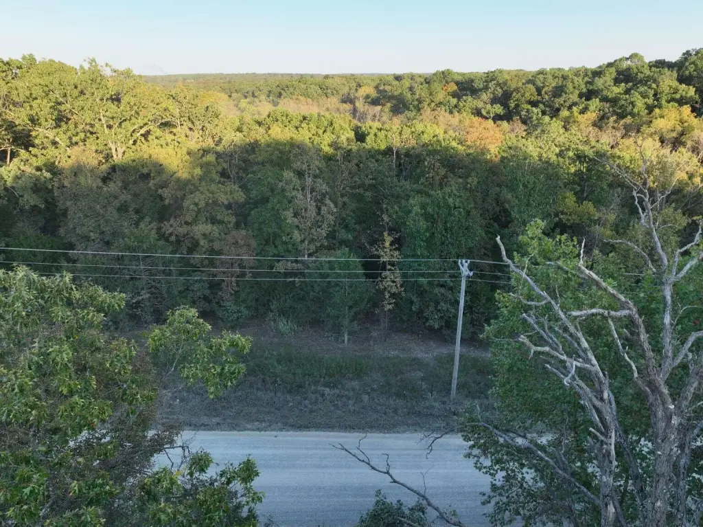
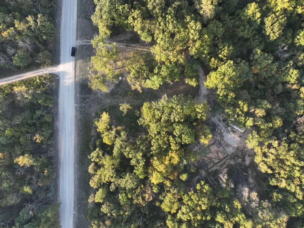
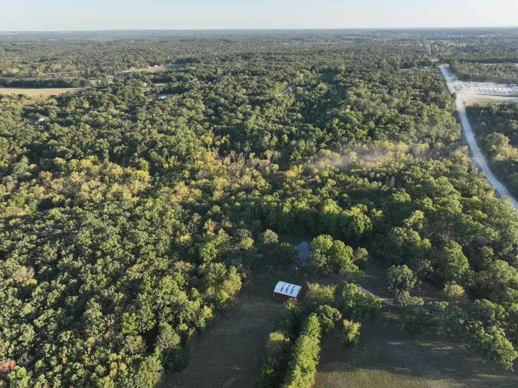
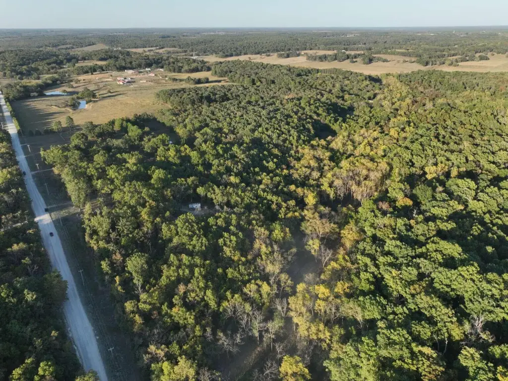
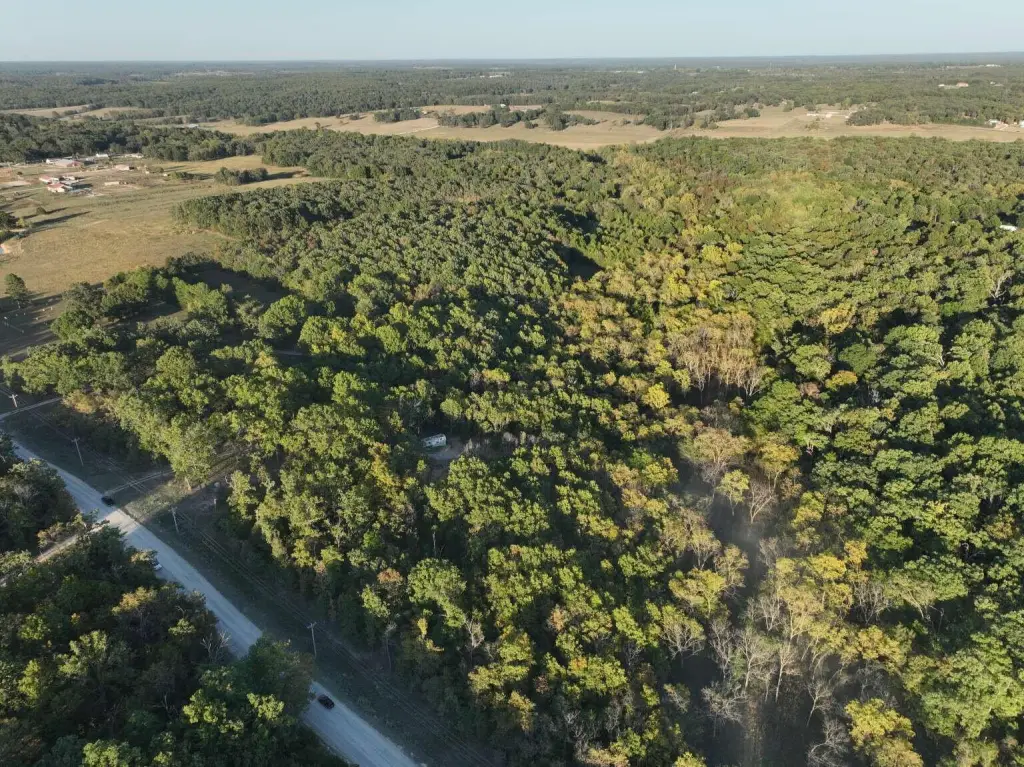
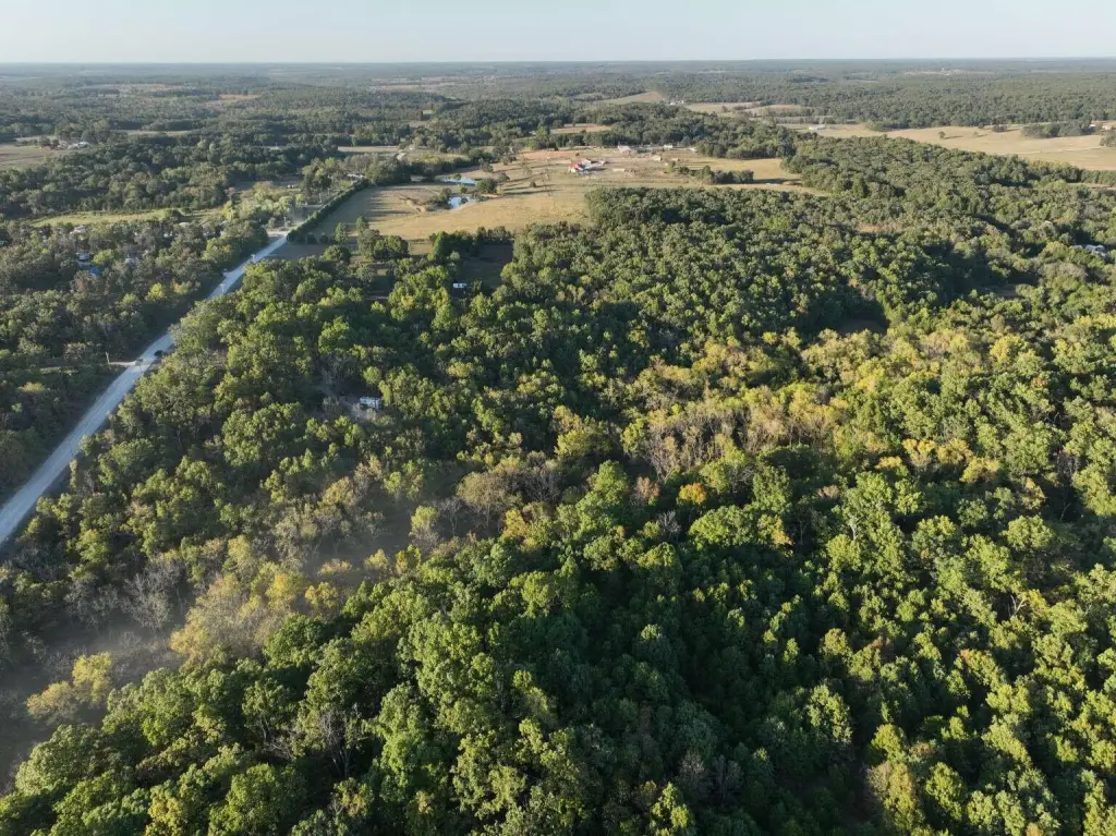
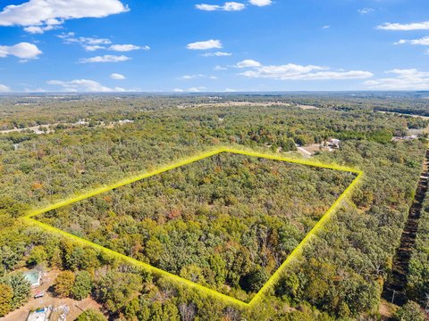
From Marshfield, travel south on State Highway A. Turn left onto Highway DD heading east. Turn right onto Rifle Range Road heading south. Proceed past Plank Cemetery. The property will be situated immediately on the left side of the road. Look for the wooded vacant acreage lines running along the east side of the street.
Standard status
Active
APN
067026000000015040
Lot size
12.99 Acres
Taxes and HOA fees
Tax Year
2025
Tax Description
BEG NE COR NW SE, S 662.34' FOR POB, S 429.19', W 1318.14', N 429.19', E 1317.90'TO POB
Tax Annual Amount
124
Legal Description
BEG NE COR NW SE, S 662.34' FOR POB, S 429.19', W 1318.14', N 429.19', E 1317.90'TO POB
Listing Agency:
Chosen Realty LLC
(330) 858-5322
Listed By:
Nicholas Huscroft
(330) 249-3499
Added: Oct 28
Changed: Oct 29
Last Checked: Oct 29 at 4:06AM
MLS# 60337233
Copyright © 2026 Southern Missouri Regional MLS, LLC (SOMO). All rights reserved. All information provided by the listing agent/broker is deemed reliable but is not guaranteed and should be independently verified.

Ask AI about this property
Review the available facts, identify missing information and prepare questions for the agent.
Investment Insights
Based on property information with market context.
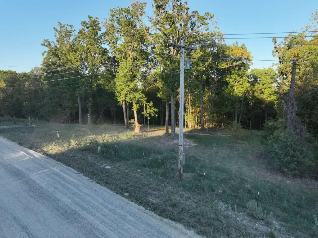
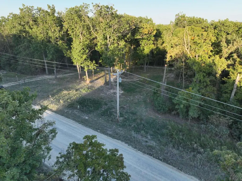
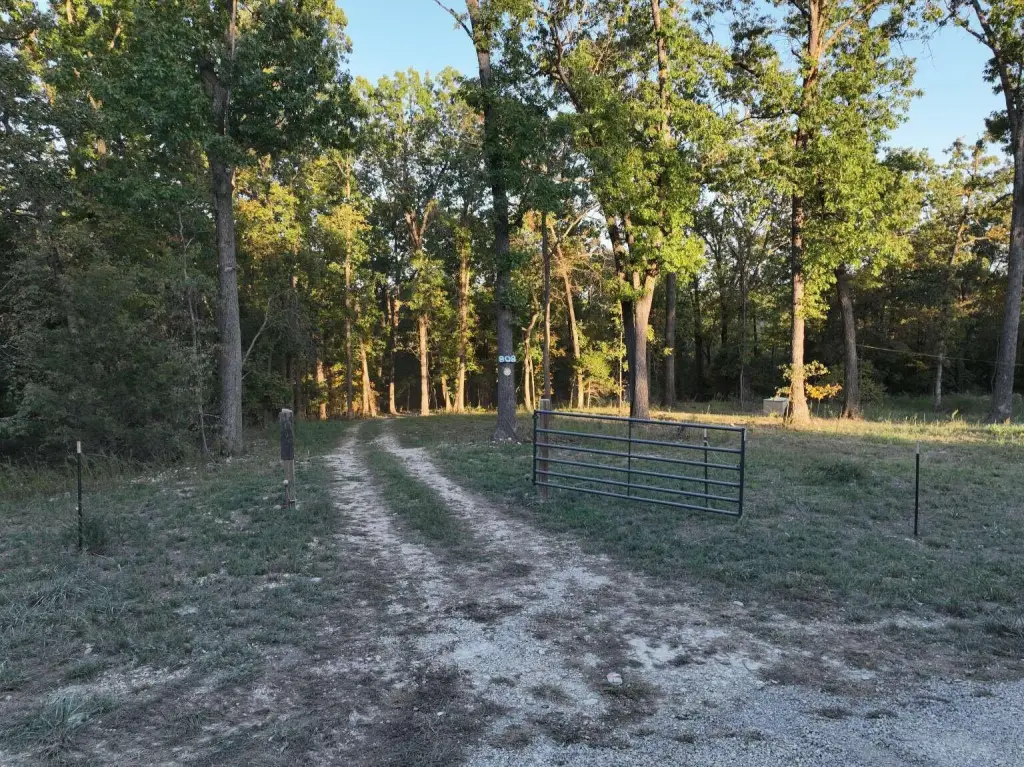
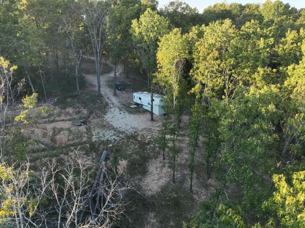
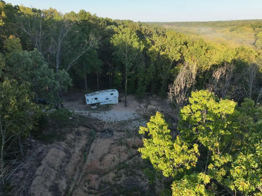
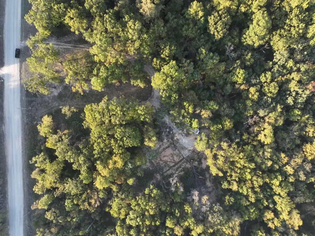
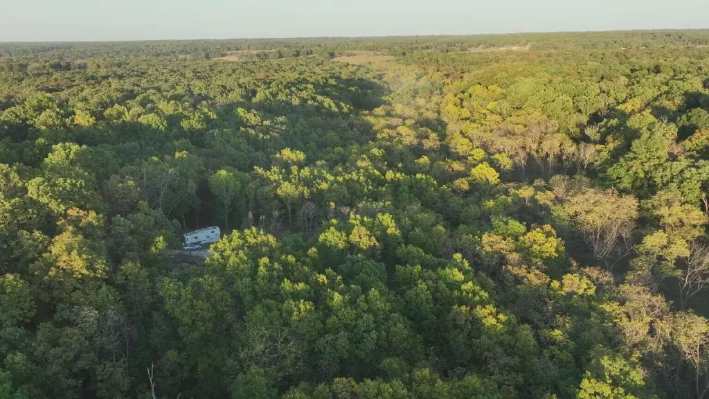
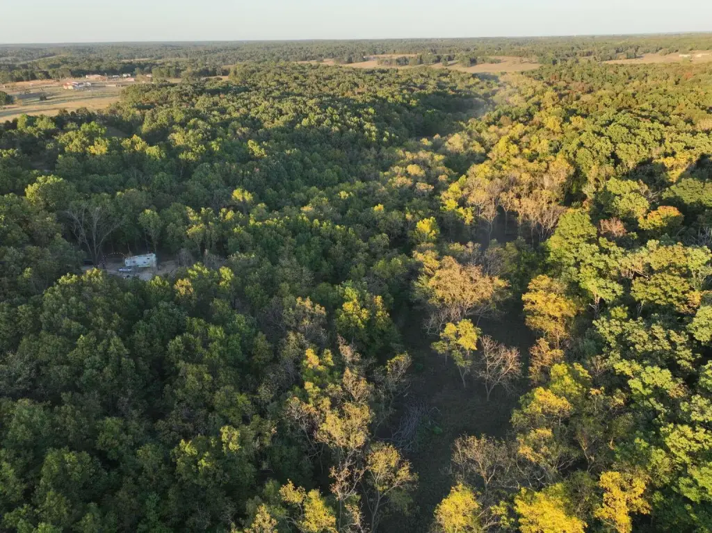
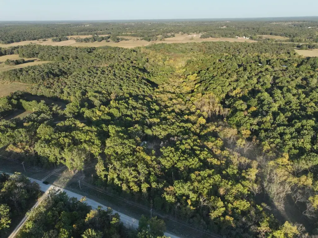
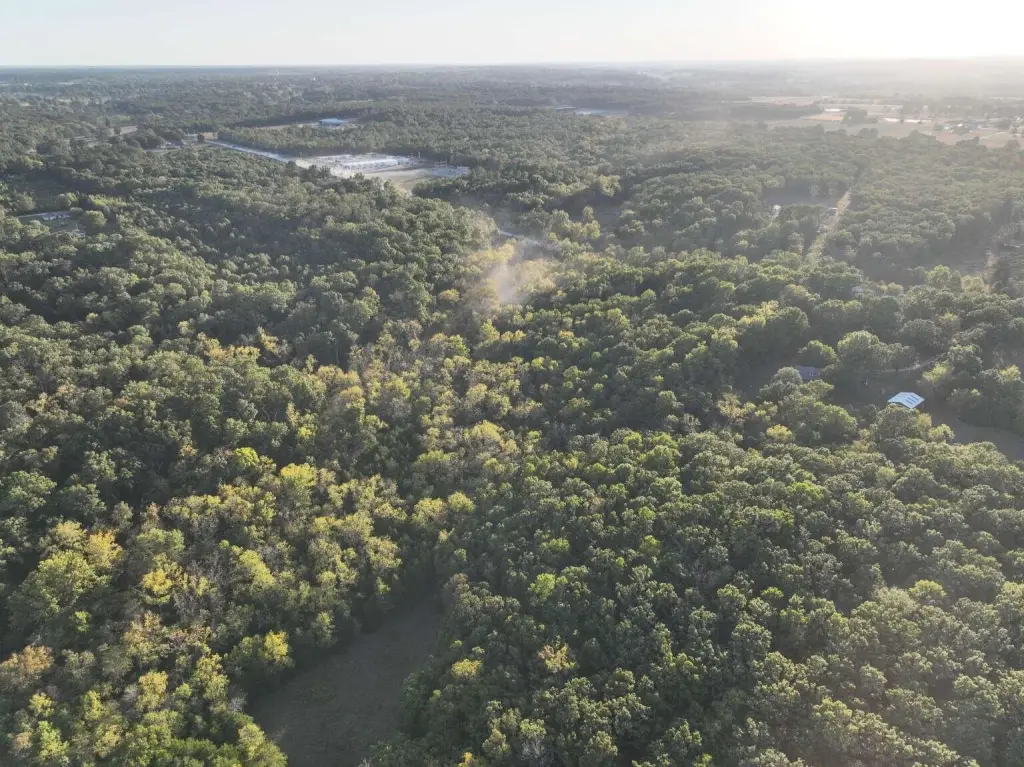
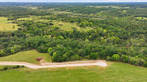
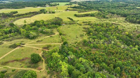
This 12.99-acre recreation parcel in Webster County combines wooded ground with a small clearing. An electric pole and meter are installed, and the property has a water well with pump. The land is described as unrestricted, with no HOA or city rules.
Key Highlights
- 12.99 acres in Webster County
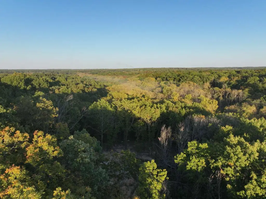
- Wooded parcel with a small clearing
- Electric pole and meter on‑site
Property Analytics
Who owns this building?
See the owner, sales and loan history
Open Analytics
Location Intelligence
Trade Area within ½ mile
6
Businesses Nearby
Explore this area
Business Placement
Demographics for 65706, MO
15,784
Population
7,070
Households
2.2
Avg Household Size
40
Median Age
21%
College-Educated
91%
High-School Grad
180.0 sq mi
ZIP Area
88
Density / Sq Mi
$76,304
Median Household Income
$40,264
Median Earnings
$780
Median Rent
$234,400
Median Home Value
Check the figures for this property
Cap Rate, Value Estimation, Potential NOI and more
View Realmo Analytics




Frequently Asked Questions
What type of property is this?
Recreation land - A small clearing, on-site power, and a well with pump are in place.
Where is this recreation land located?
The property is located at Rifle Range Road Marshfield, MO.
What is the asking price?
The asking price for this property is $170,000.
What are key features of this property?
This property features: 12.99 acres in Webster County; Wooded parcel with a small clearing; Electric pole and meter on‑site