Wooded Hunting
For Sale
$599,000
Reese Drive, Saucier, MS 39574
Land, Saucier, MS
Property SizeContact for details
Lot Size115.40 Acres
Days on Market348
Property Features for Reese Drive
General Information
Property type
Land
Property subtype
Other
Lot features
Wetlands, Wooded, Many Trees, Wetlands, Wooded, Many Trees
Standard status
Active
APN
0805-04-001.109
Lot size
115.40 Acres
Taxes and HOA fees
Tax Year
2024
Tax Description
115.4 AC BEG AT SE COR OF SEC 4 W ALONG SEC LINE 1072.4 FT TO CENTERLINE OF BILOXI RIVER NLY ALONG CENTERLINE 1764.4 FT TO INTER OF CENTERLINE OF PALMER CREEK NLY ALONG CENTERLINE 2791.3 FT N 35 DG W 79.2 FT TO S MAR OF PALMER CREEK DR NELY ALONG RD 100.3 FT S 35 DG E 91.5 FT TO CENTERLINE OF CREEK NELY ALONG CENTERLINE 1062.8 FT N 35 DG W 20 FT E 224 FT TO E LINE OF SEC S ALONG SEC LINE 4518.7 FT TO POB PART OF E1/2 OF SEC 4-6-11
Tax Annual Amount
344
Legal Description
115.4 AC BEG AT SE COR OF SEC 4 W ALONG SEC LINE 1072.4 FT TO CENTERLINE OF BILOXI RIVER NLY ALONG CENTERLINE 1764.4 FT TO INTER OF CENTERLINE OF PALMER CREEK NLY ALONG CENTERLINE 2791.3 FT N 35 DG W 79.2 FT TO S MAR OF PALMER CREEK DR NELY ALONG RD 100.3 FT S 35 DG E 91.5 FT TO CENTERLINE OF CREEK NELY ALONG CENTERLINE 1062.8 FT N 35 DG W 20 FT E 224 FT TO E LINE OF SEC S ALONG SEC LINE 4518.7 FT TO POB PART OF E1/2 OF SEC 4-6-11
Utilities
Utilities
Water Available
Listing Agency:
Century 21 Busch Realty Group · Century 21 Real Estate
(228) 324-1715
Listed By:
Kim Alexander · License #S54591
(601) 723-0140
Added: Oct 25, 2025
Changed: Aug 26
Last Checked: Oct 7 at 11:06AM
MLS# 4129731
Copyright © 2026 MLS United. All rights reserved. All information provided by the listing agent/broker is deemed reliable but is not guaranteed and should be independently verified.
Investment Insights
Based on property information with market context.
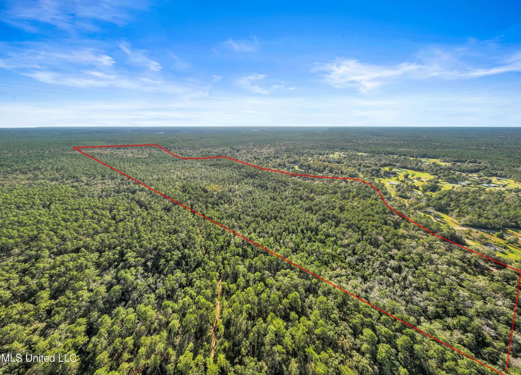
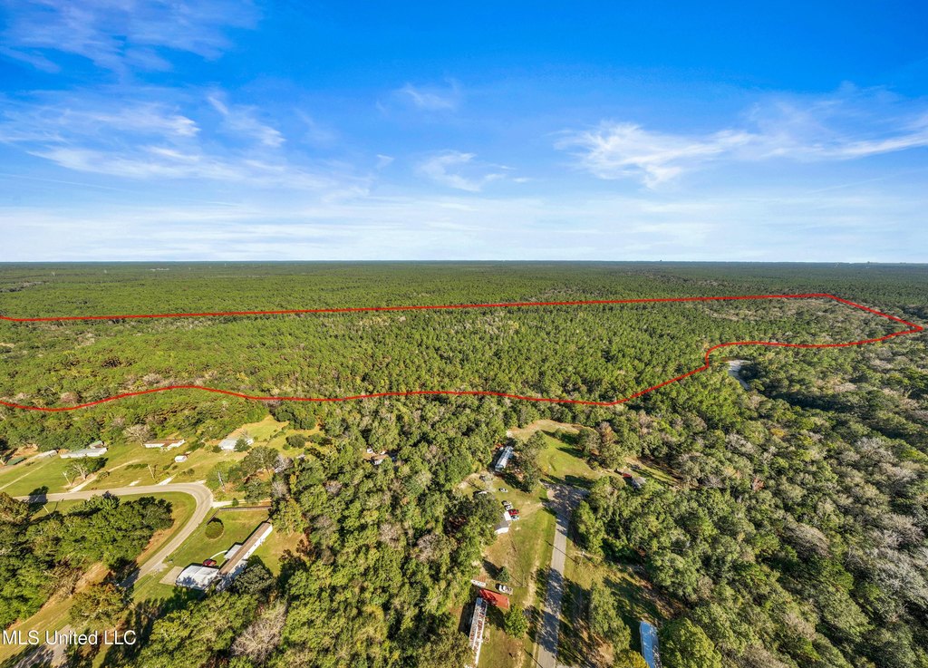
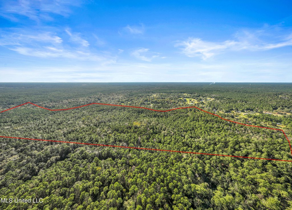
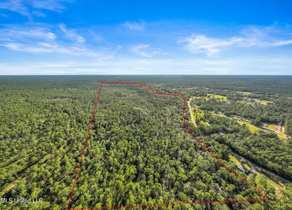
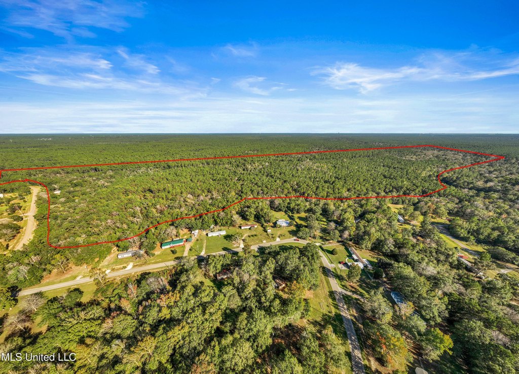
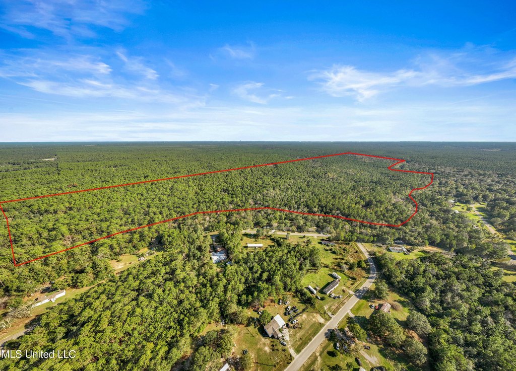
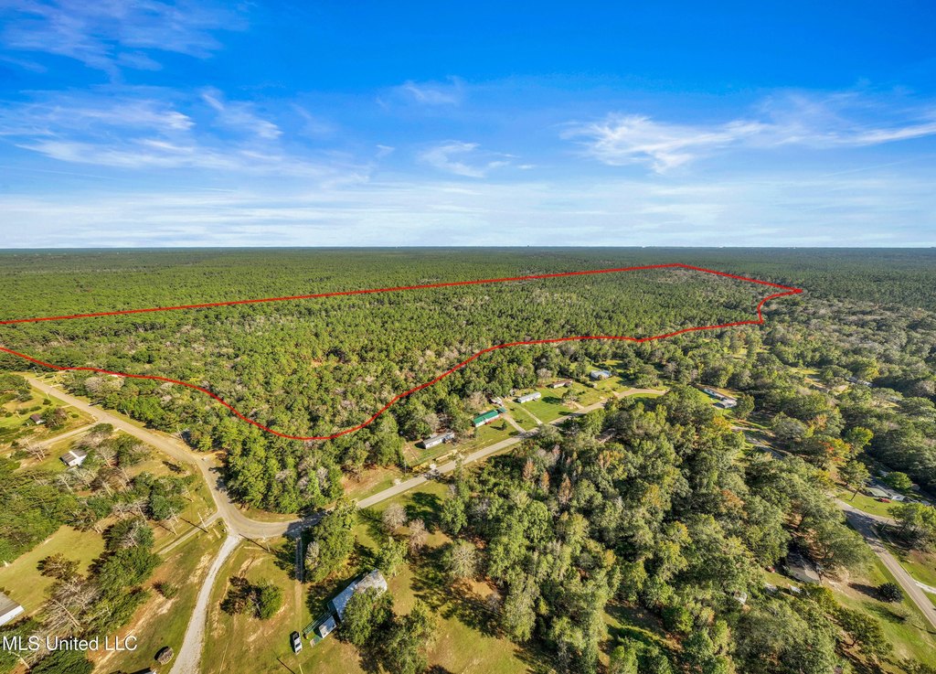
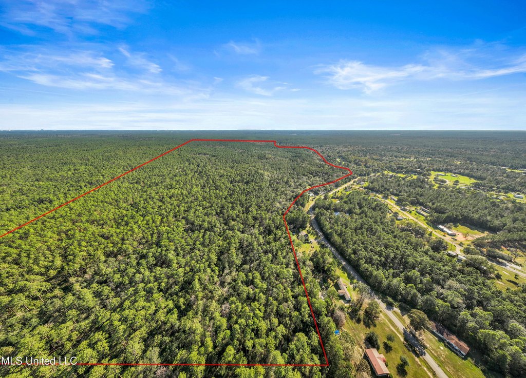
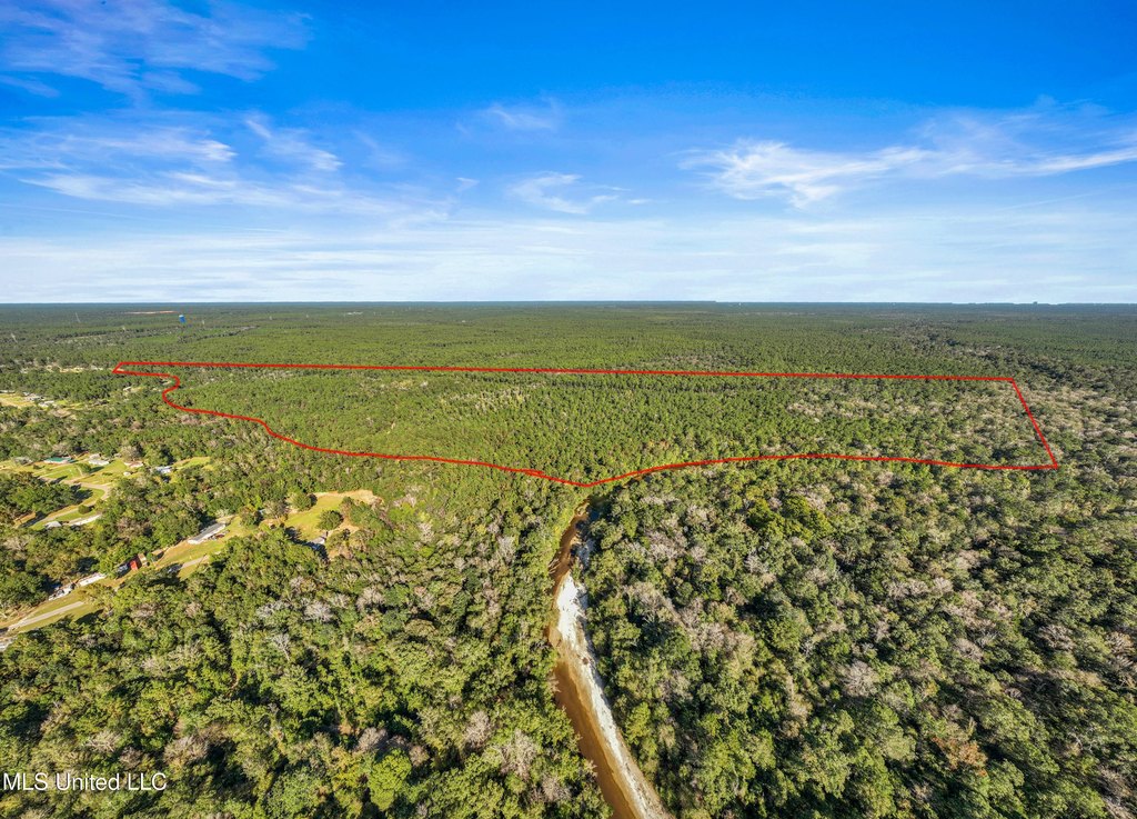
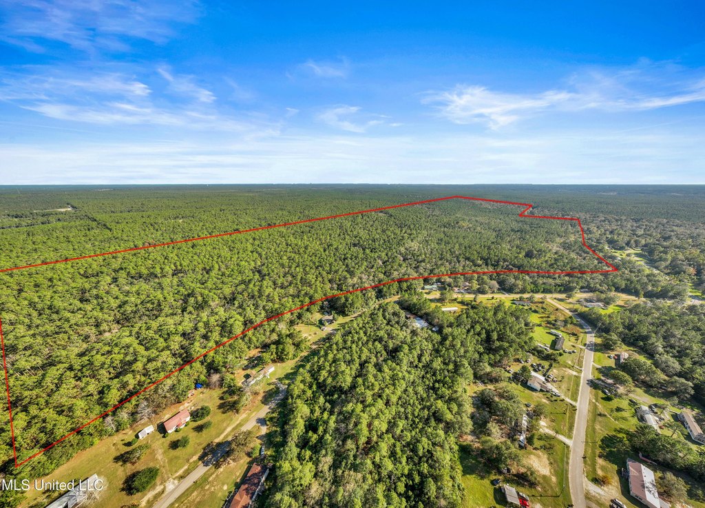
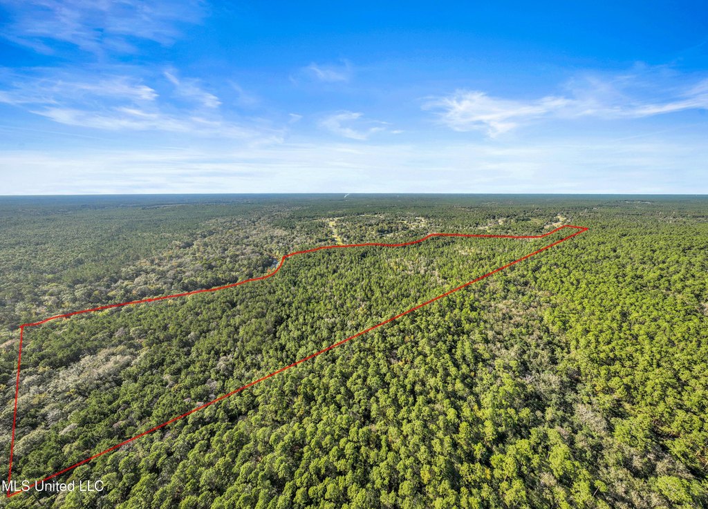
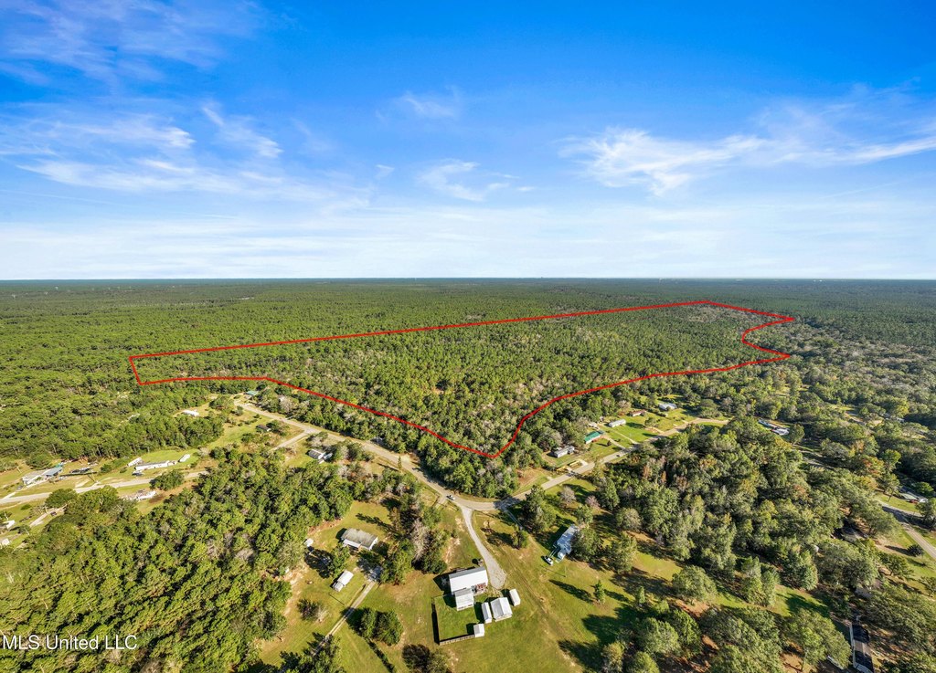
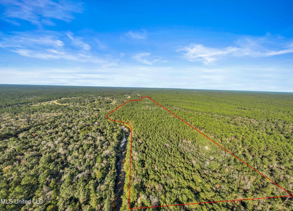
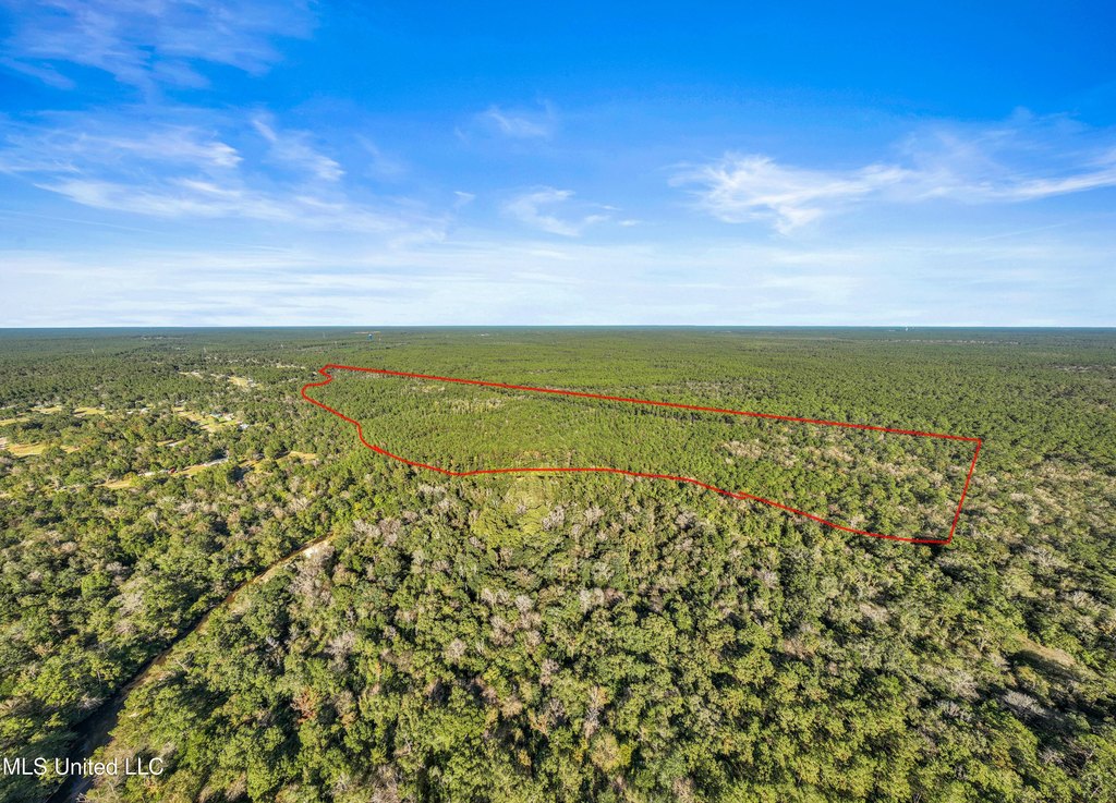
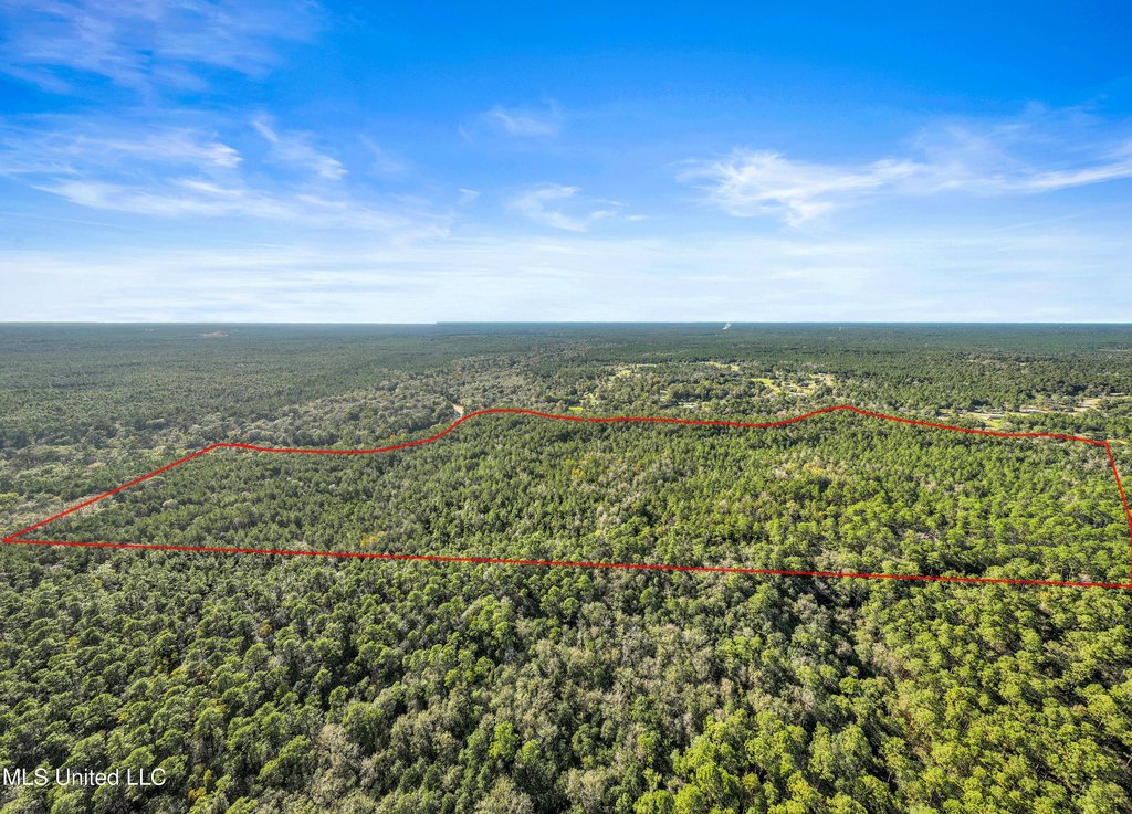
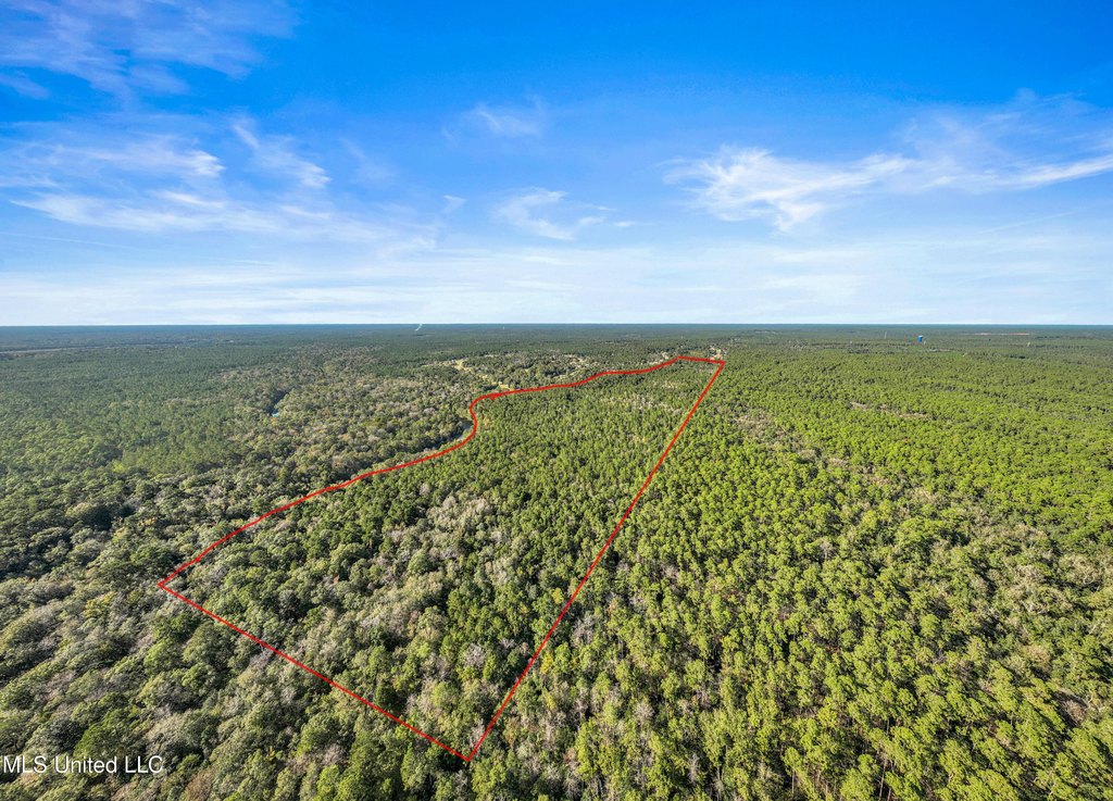
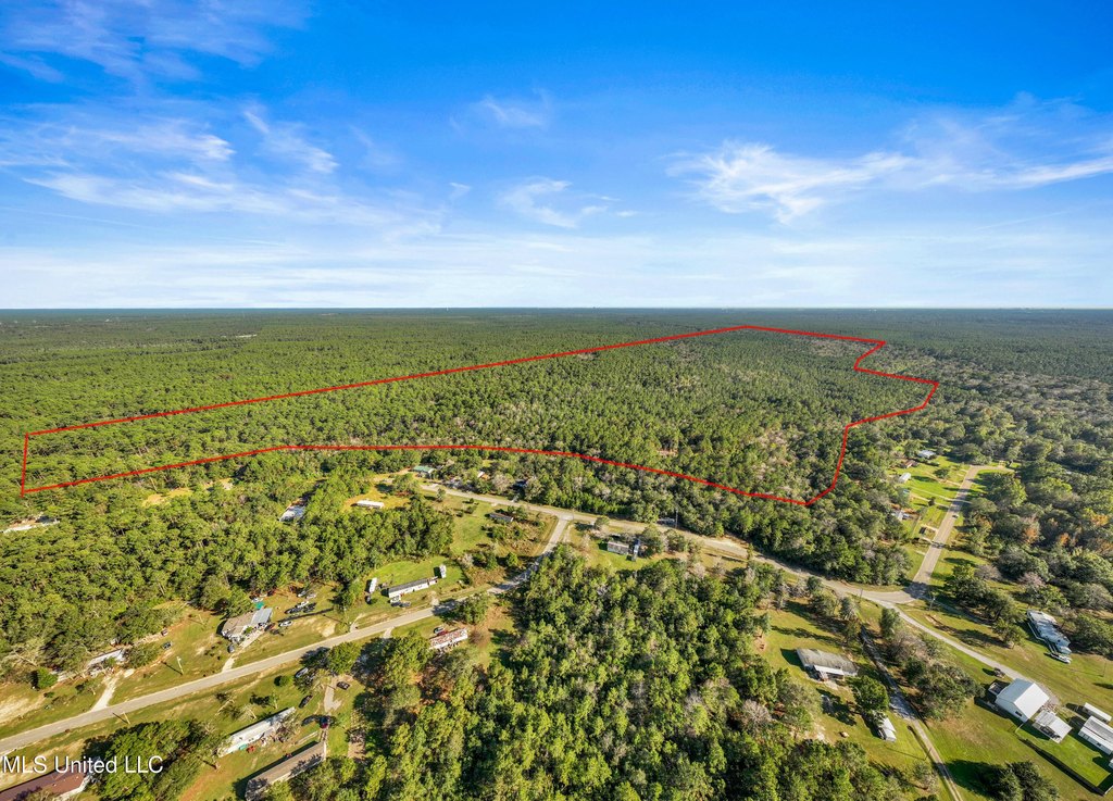
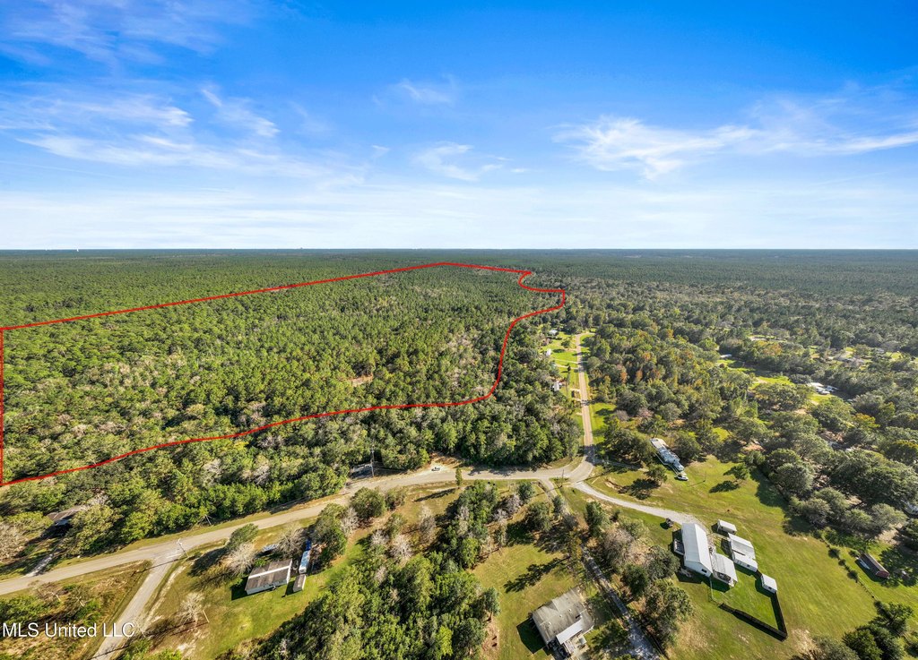
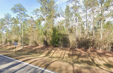
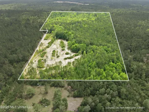
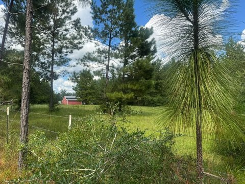
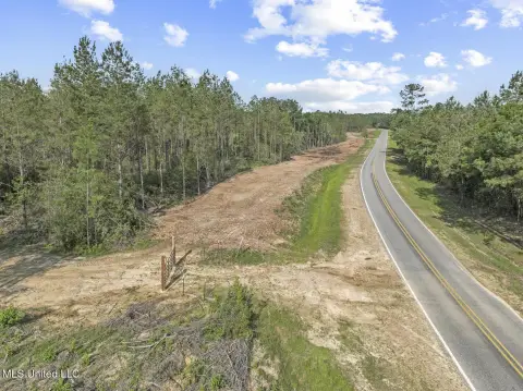
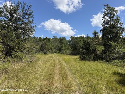
This 115.4-acre hunting land tract is heavily wooded and positioned in a secluded setting. The property is suited to recreational use and outdoor activities, with substantial adjoining public land contributing to its private character.
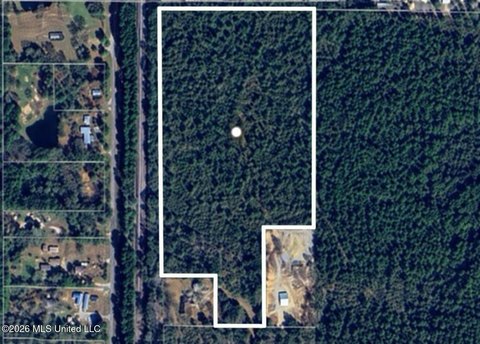
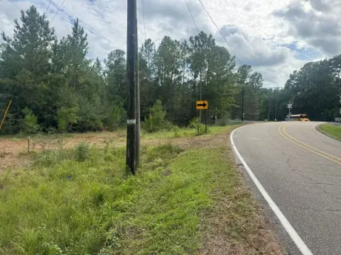
US government land borders the eastern boundary for over 650 acres, while another 600 + acres adjoin the southern boundary and extend to the Biloxi River. The property is addressed on Reese Drive in Saucier, Mississippi, and water is available.
US government land borders the eastern boundary for over 650 acres, while another 600 + acres adjoin the southern boundary and extend to the Biloxi River. The property is addressed on Reese Drive in Saucier, Mississippi, and water is available.
Key Highlights
- 115.4 acres of hunting land in a heavily wooded setting
- Eastern boundary borders over 650 acres of US government land
- Southern boundary adjoins another 600 + acres extending to the Biloxi River
Property Analytics
Unlock full access to Insights
Subscribe to Realmo Intelligence
Open Analytics
Current Use
Location Intelligence
Trade Area within ½ mile
9
Businesses Nearby
Explore this area
Business Placement
Demographics for 39574, MS
14,049
Population
5,329
Households
2.6
Avg Household Size
40
Median Age
19%
College-Educated
87%
High-School Grad
213.1 sq mi
ZIP Area
66
Density / Sq Mi
$69,167
Median Household Income
$37,280
Median Earnings
$942
Median Rent
$191,500
Median Home Value
Check the figures for this property
Cap Rate, Value Estimation, Potential NOI and more
View Realmo Analytics

Questions? Ask Rey
Realmo’s AI knows this listing — price, zoning, demand, history. Ask anything.


Frequently Asked Questions
What type of property is this?
Hunting land - Secluded, heavily wooded acreage bordered by extensive US government land with water available.
Where is this hunting land located?
The property is located at Reese Drive Saucier, MS.
What is the asking price?
The asking price for this property is $599,000.
What are key features of this property?
This property features: 115.4 acres of hunting land in a heavily wooded setting; Eastern boundary borders over 650 acres of US government land; Southern boundary adjoins another 600 + acres extending to the Biloxi River


