Creekside Recreation

For Sale
$179,900
nhn Ranger Way, Red Lodge, MT 59068
Land, Red Lodge, MT
Property SizeContact for details
Lot Size20.00 Acres
Days on Market99
Property Features for nhn Ranger Way
General Information
Property type
Land
Property subtype
Other
Zoning description
None/Unknown
Lot features
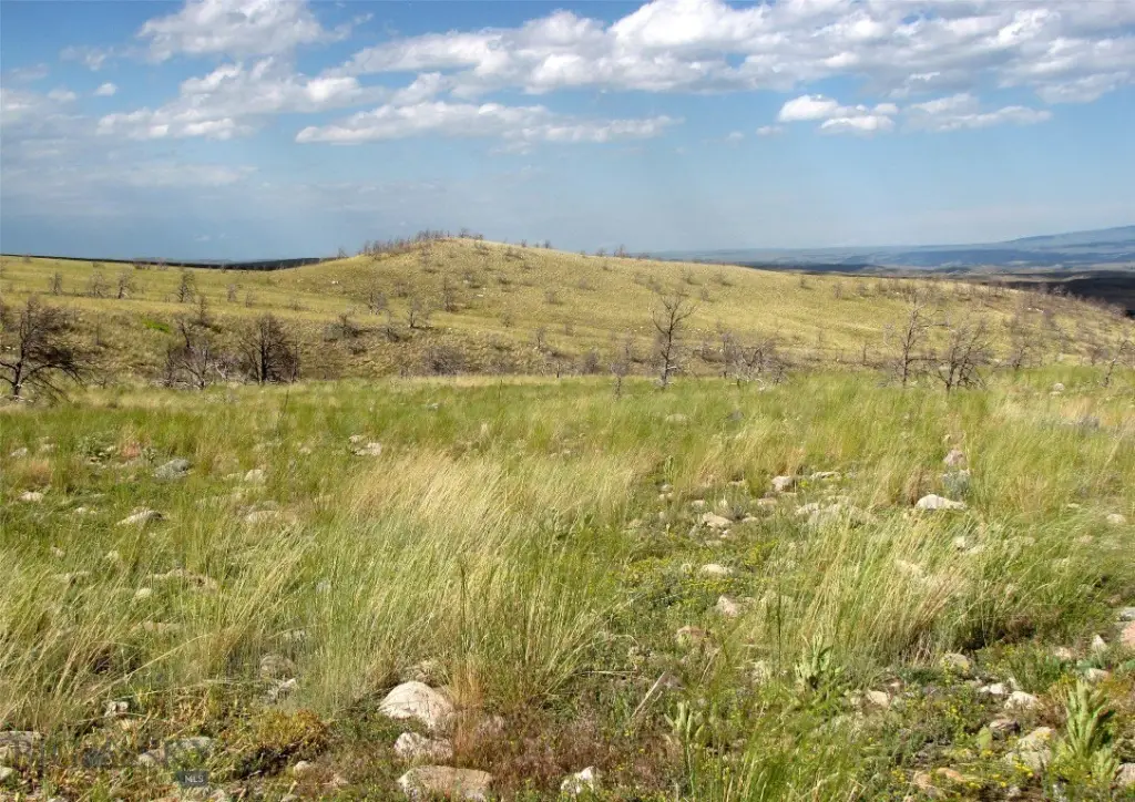
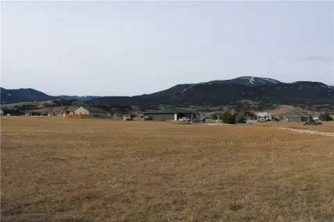
Adjacent To Public Land, Level, Rolling Slope
View
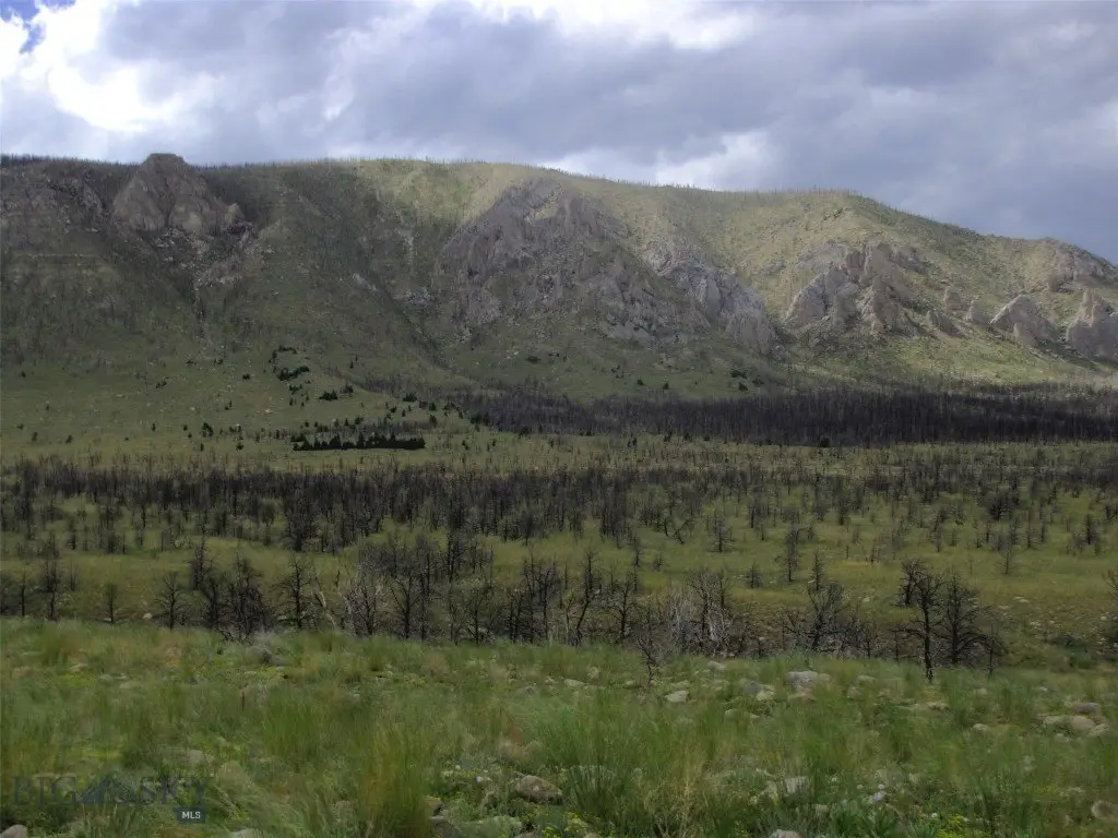
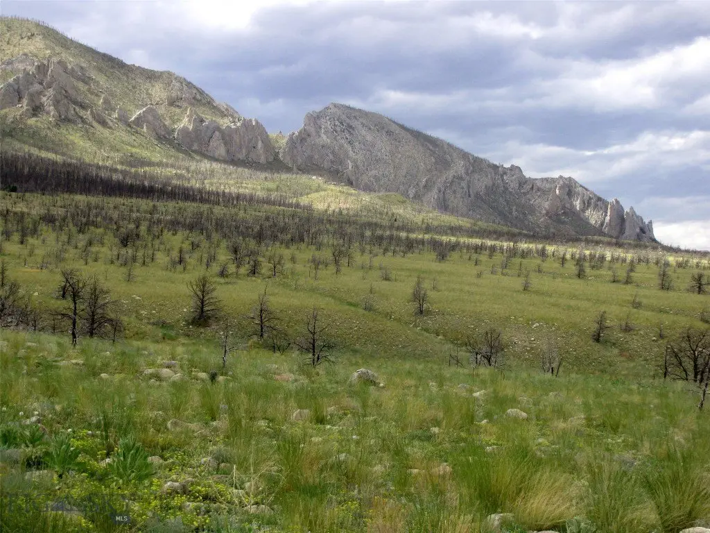
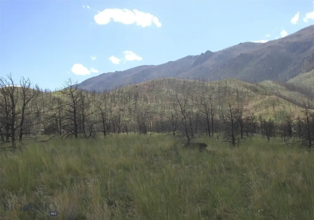
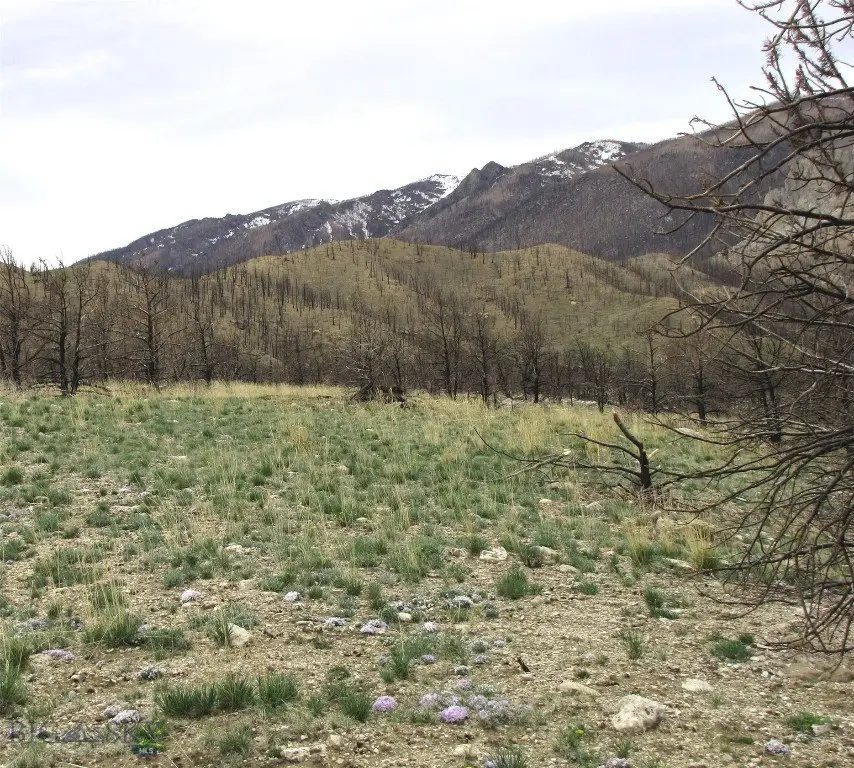
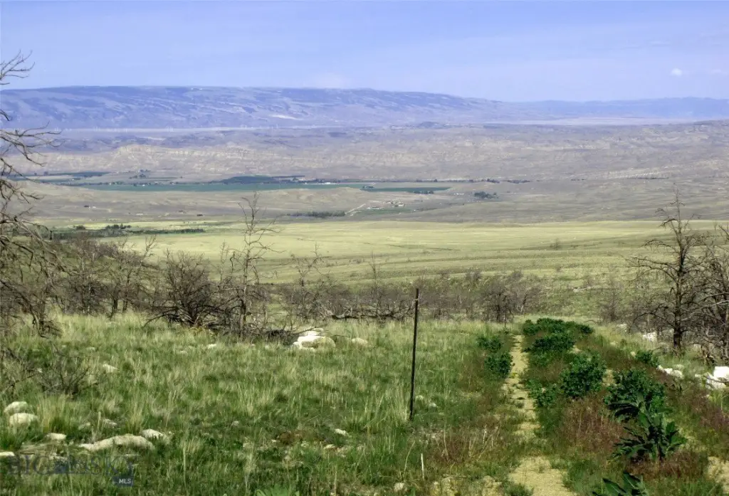
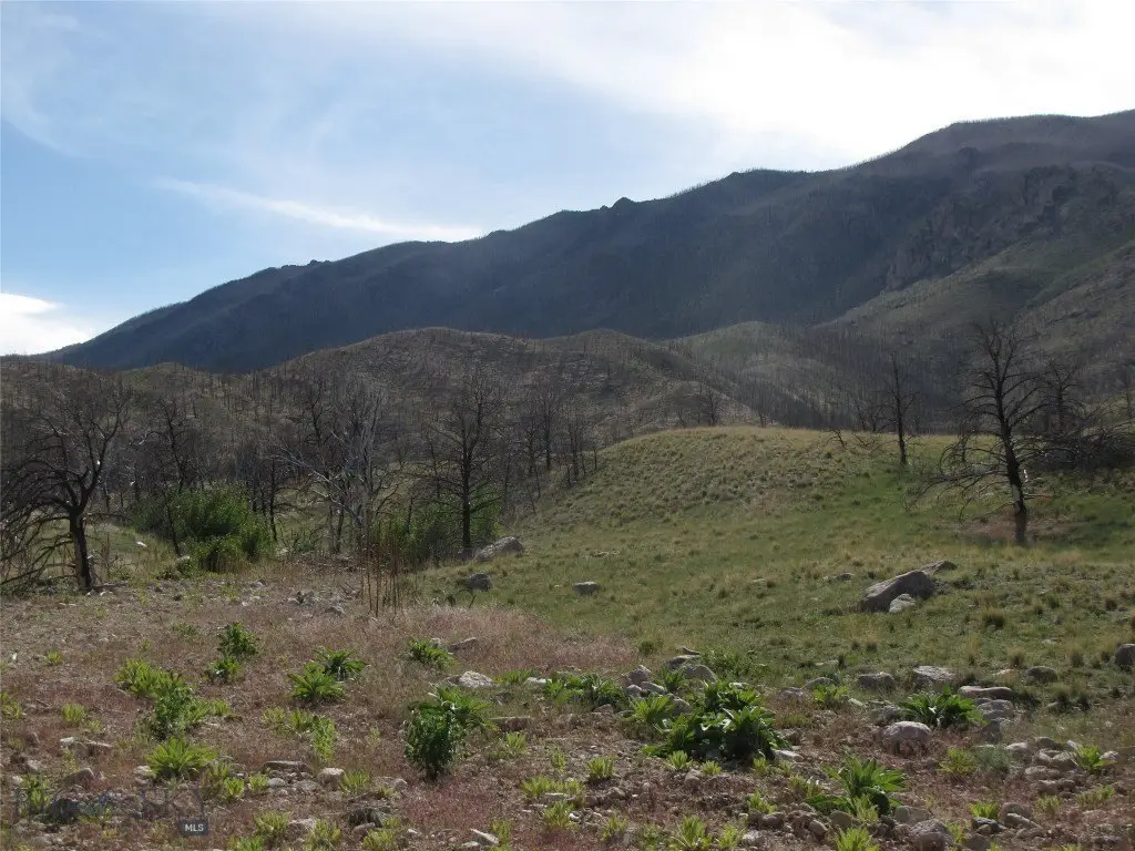
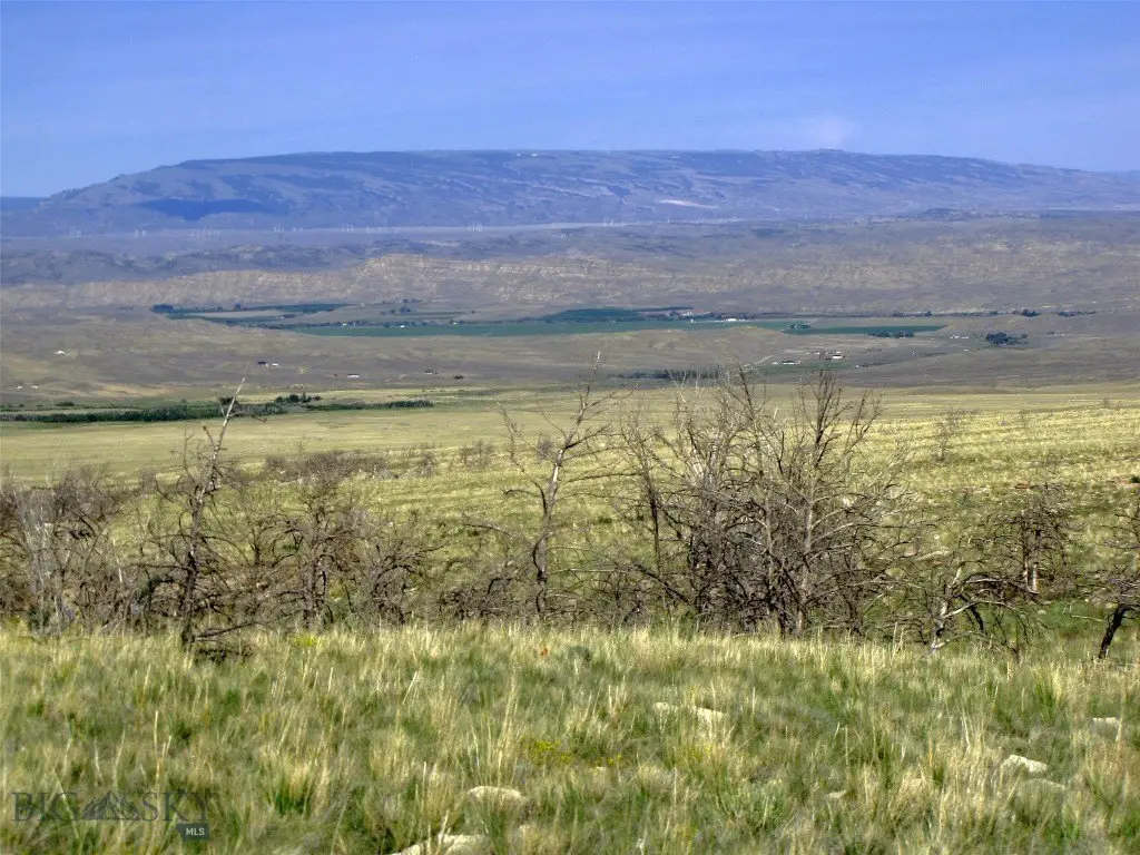
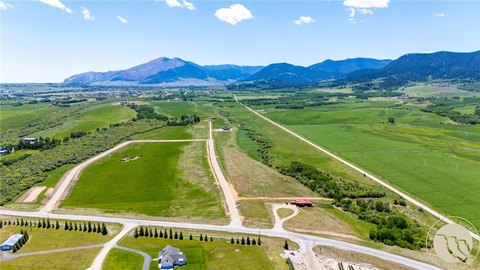
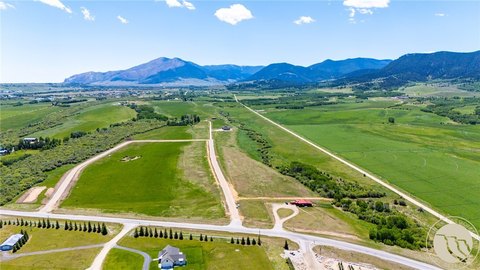
Valley, Mountains
Directions
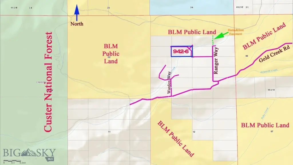
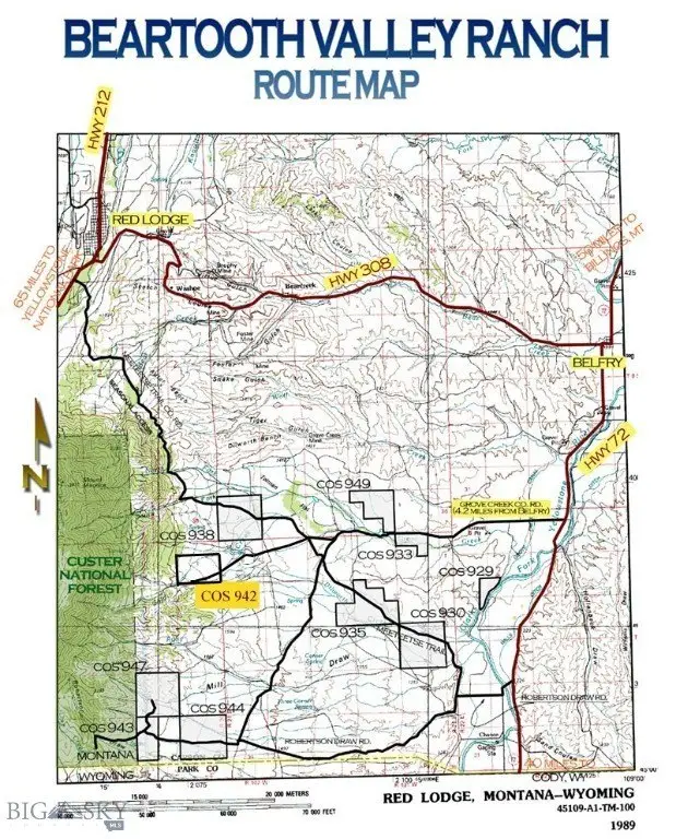
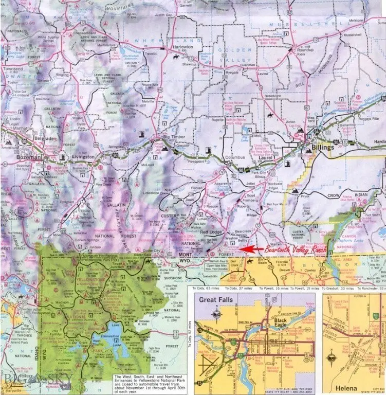
4.5 miles south of Belfry on Hwy 72, rt on Grove Creek 5 miles past Grove Creek Ranch to Meeteetse Trl, Straight on Gold Creek rd 3.0 miles to Ranger Way, then right to Creek. Call for a map.
Subdivision
12M - Other Montana Counties
Standard status
Active
APN
0013014010
Lot size
20.00 Acres
Taxes and HOA fees
Tax Year
2025
Tax Description
TR 6 COS 942 in SEC 1, TWP 9S, RGE 20E OF PMM IN CARBON COUNTY, MT, consisting of 20.0 ACRES
Tax Annual Amount
80
Legal Description
TR 6 COS 942 in SEC 1, TWP 9S, RGE 20E OF PMM IN CARBON COUNTY, MT, consisting of 20.0 ACRES
Utilities
Water front features
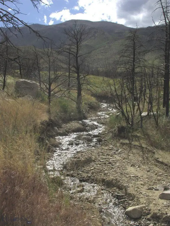
Creek
Water front
1
Listing Agency:
Mountainlands of MT Realty
(406) 580-3372
Listed By:
Dean Petty · License #BRO-11777
(406) 556-1957
Added: Jun 29
Changed: Sep 12
Last Checked: Oct 5 at 11:06AM
MLS# 412706
Copyright © 2026 Big Sky Country MLS. All rights reserved. All information provided by the listing agent/broker is deemed reliable but is not guaranteed and should be independently verified.
Investment Insights
Based on property information with market context.
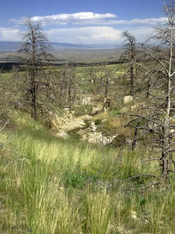
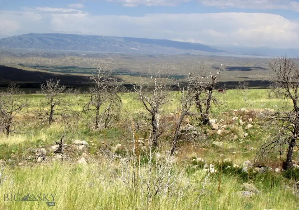
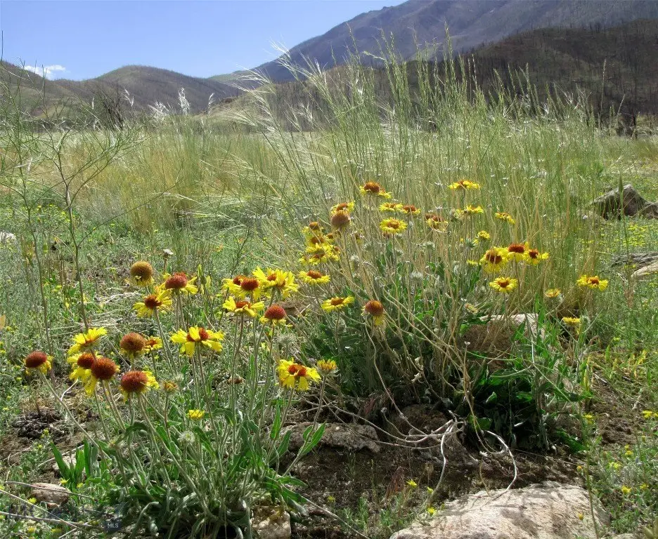
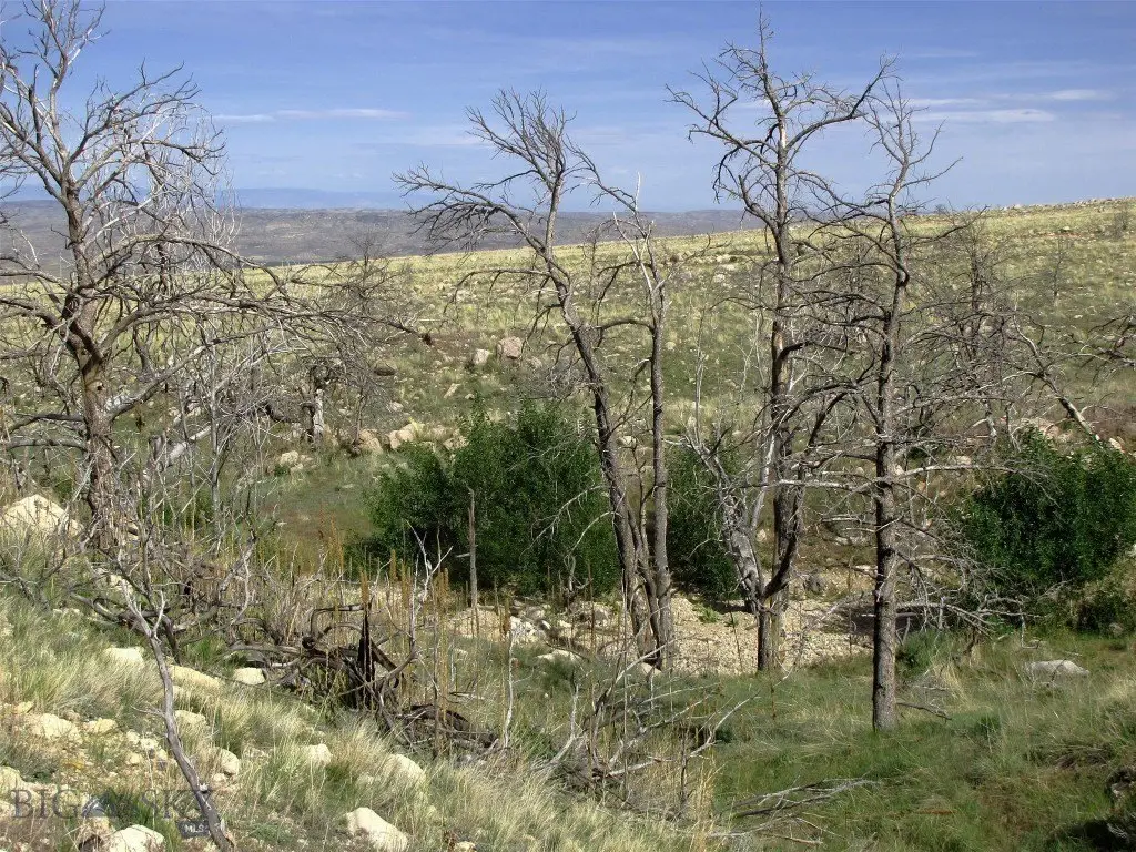
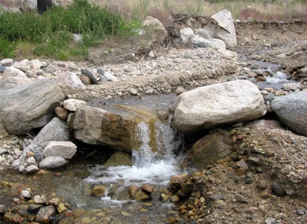
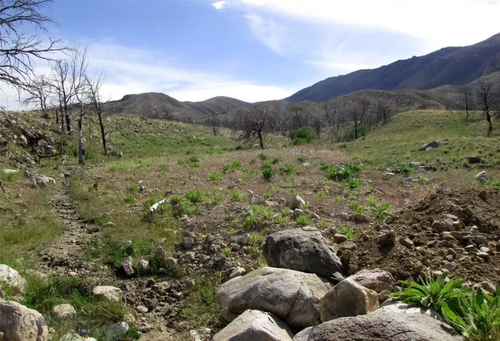
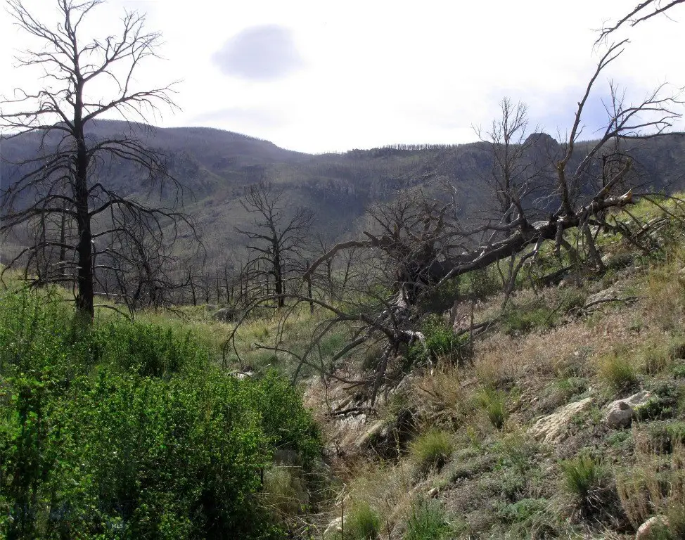
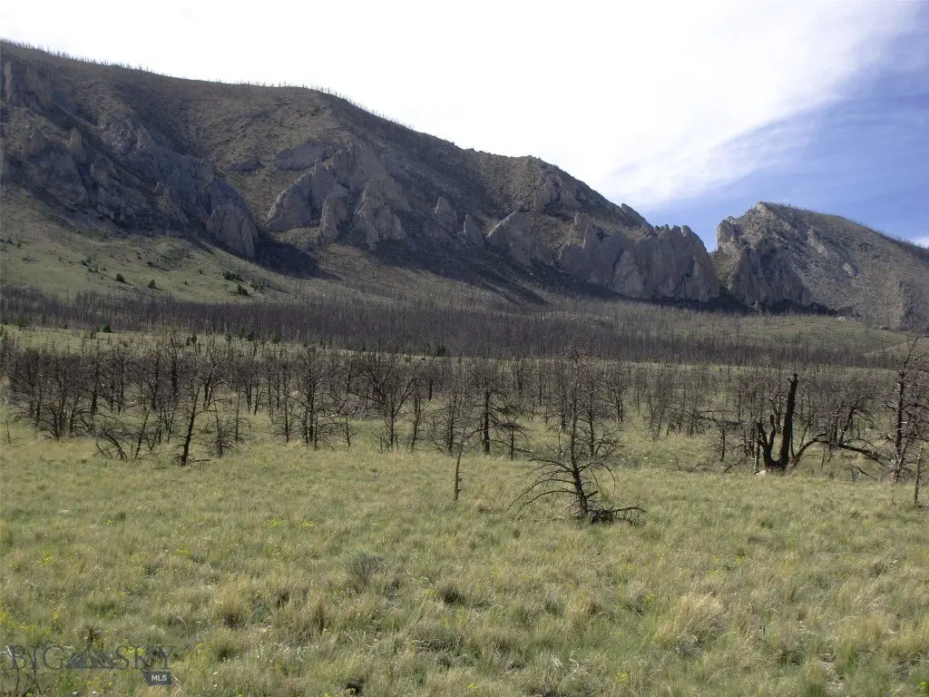
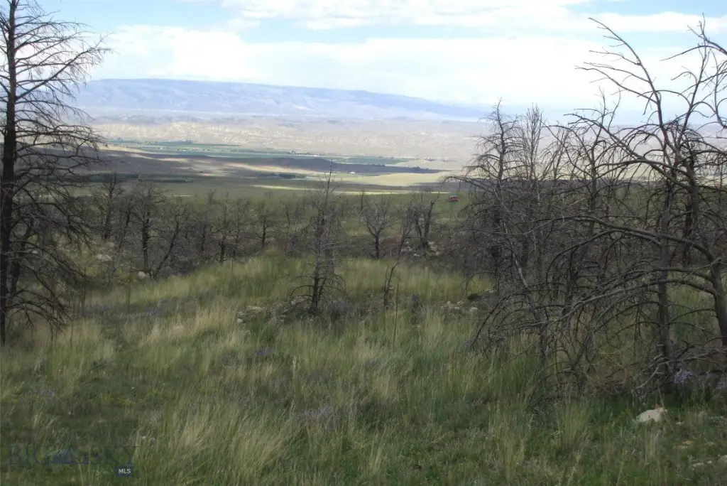
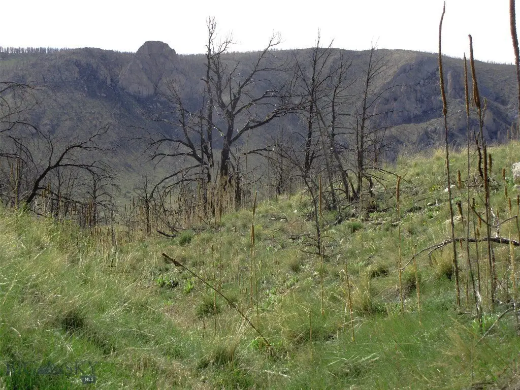
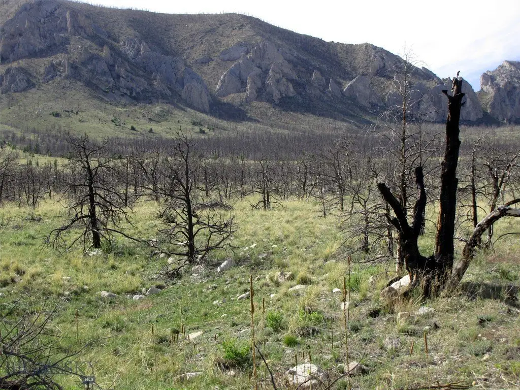
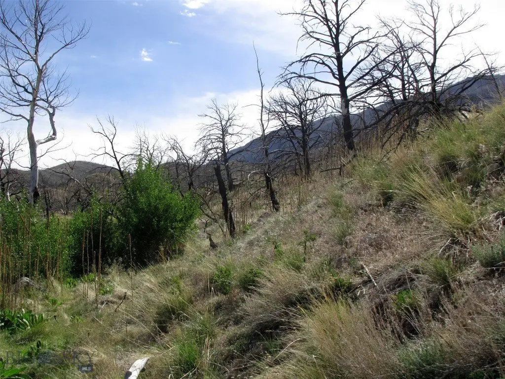
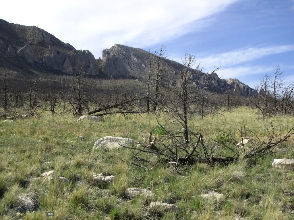
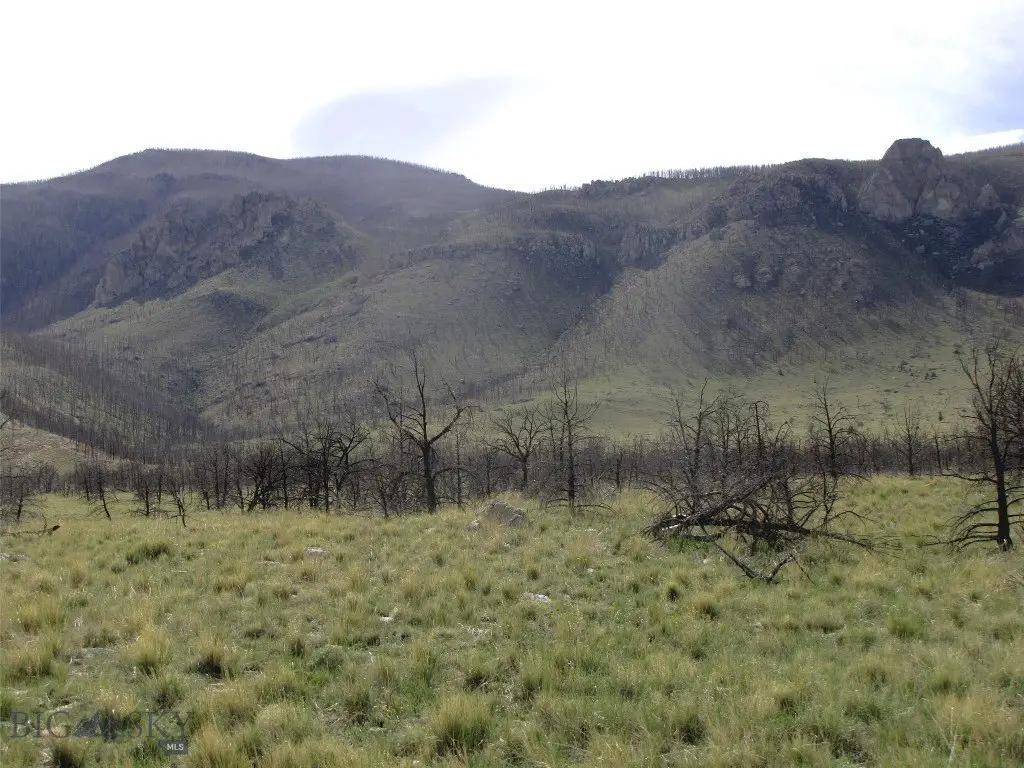
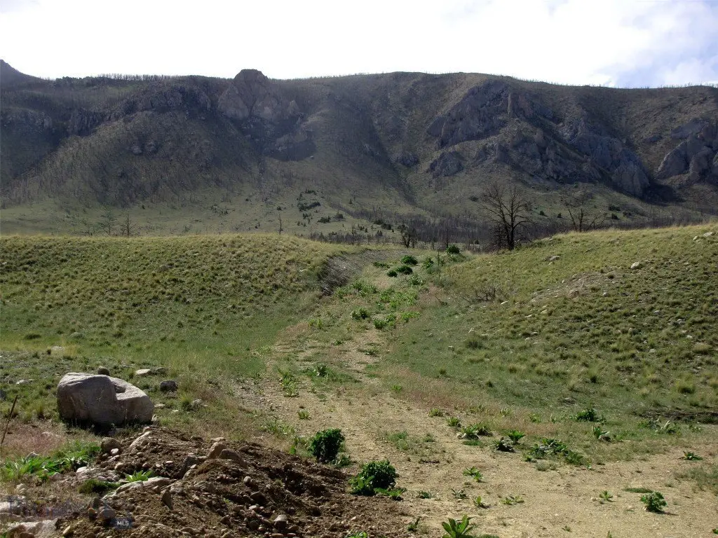
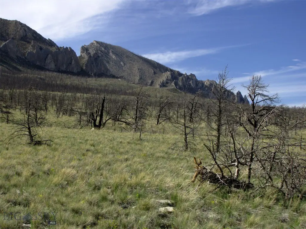
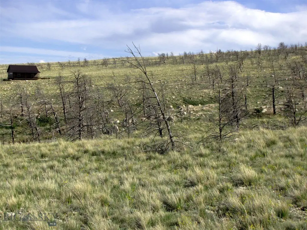
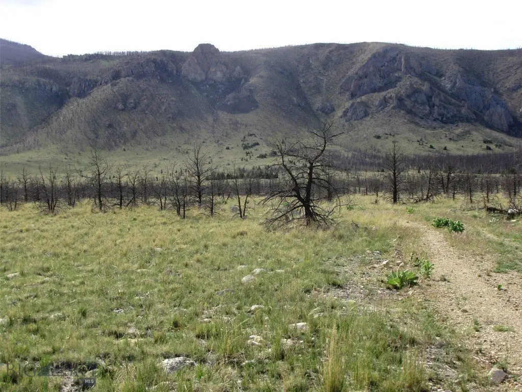
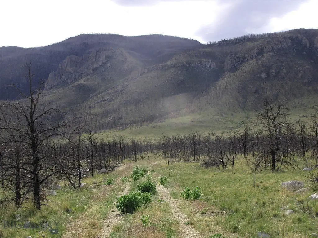
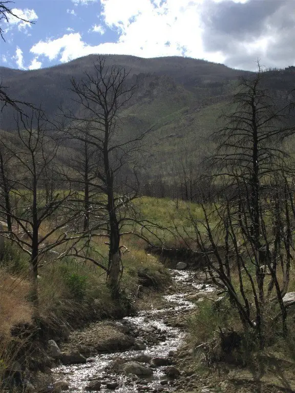
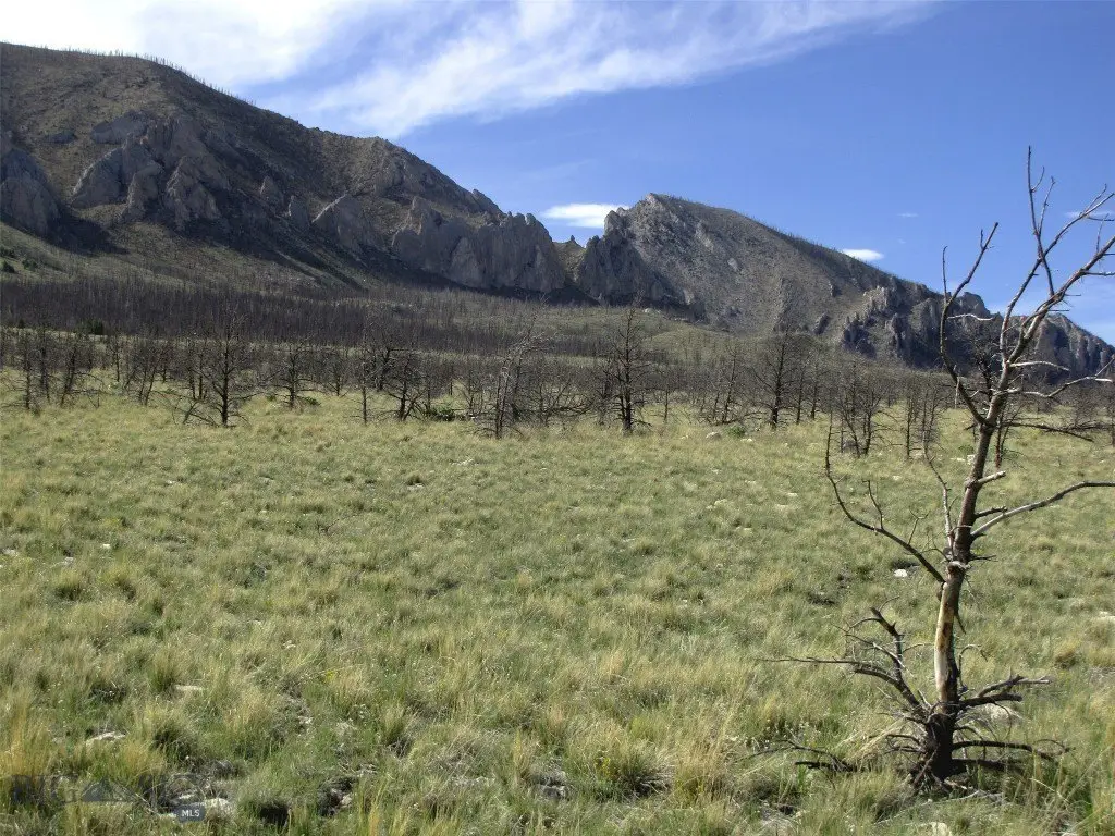
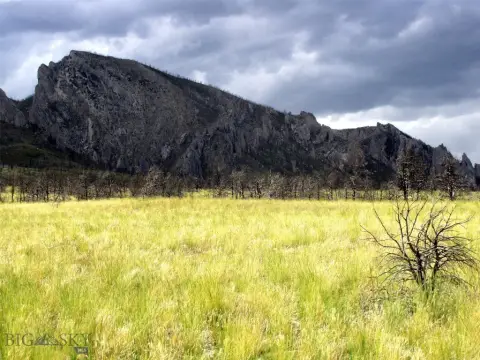
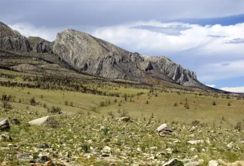
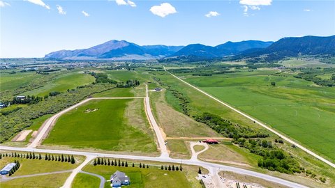
This 20-acre recreational land parcel includes a creek that has flowed year-round in recent years, although it has historically been seasonal. The property sits at the foot of the Beartooth Mountains and offers broad views across the mountains and valley. A 2021 wildfire removed the property's trees, while cottonwoods are regenerating along the creek.
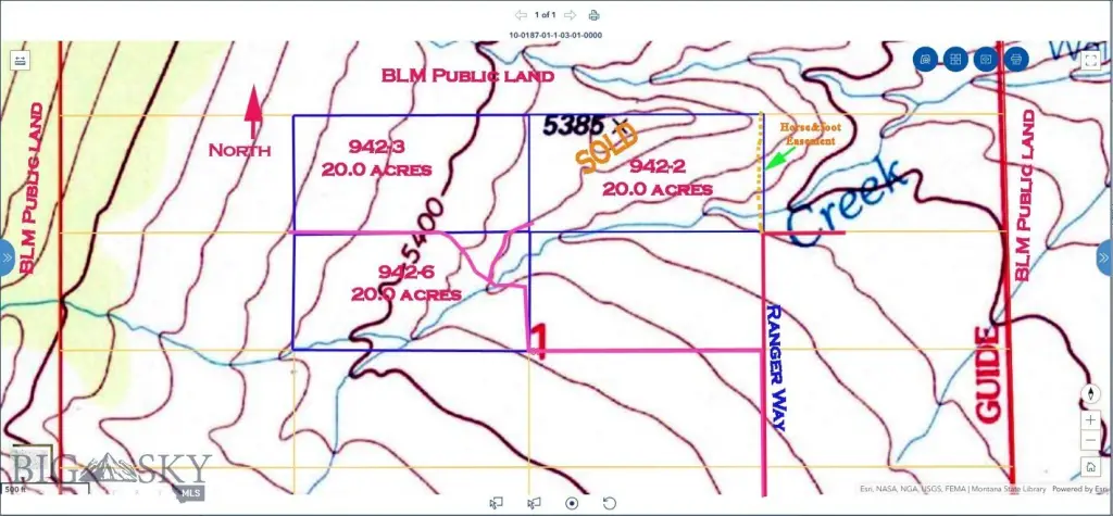
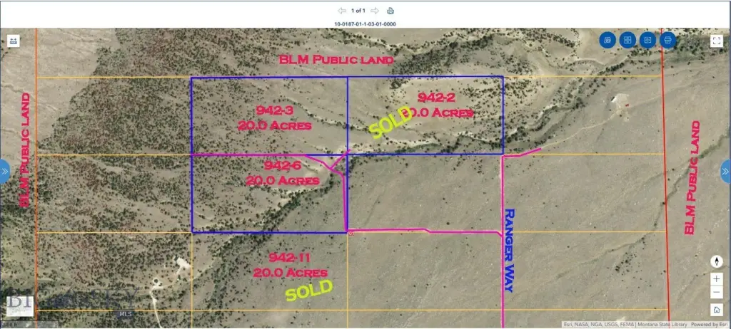
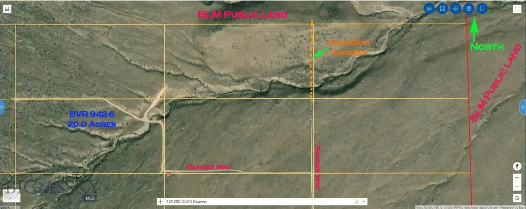
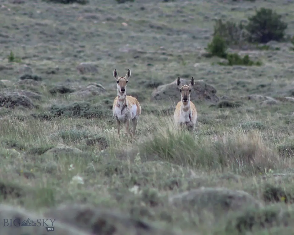
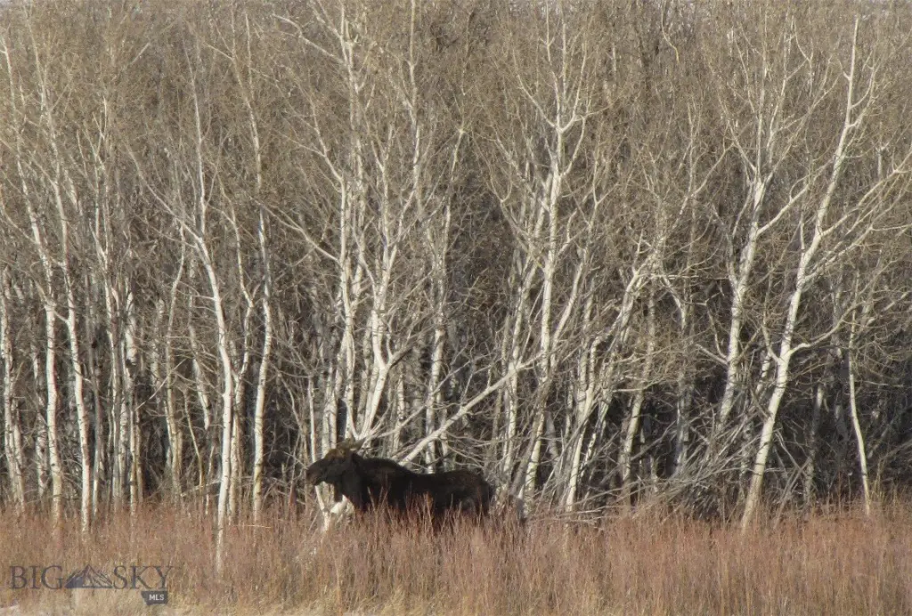
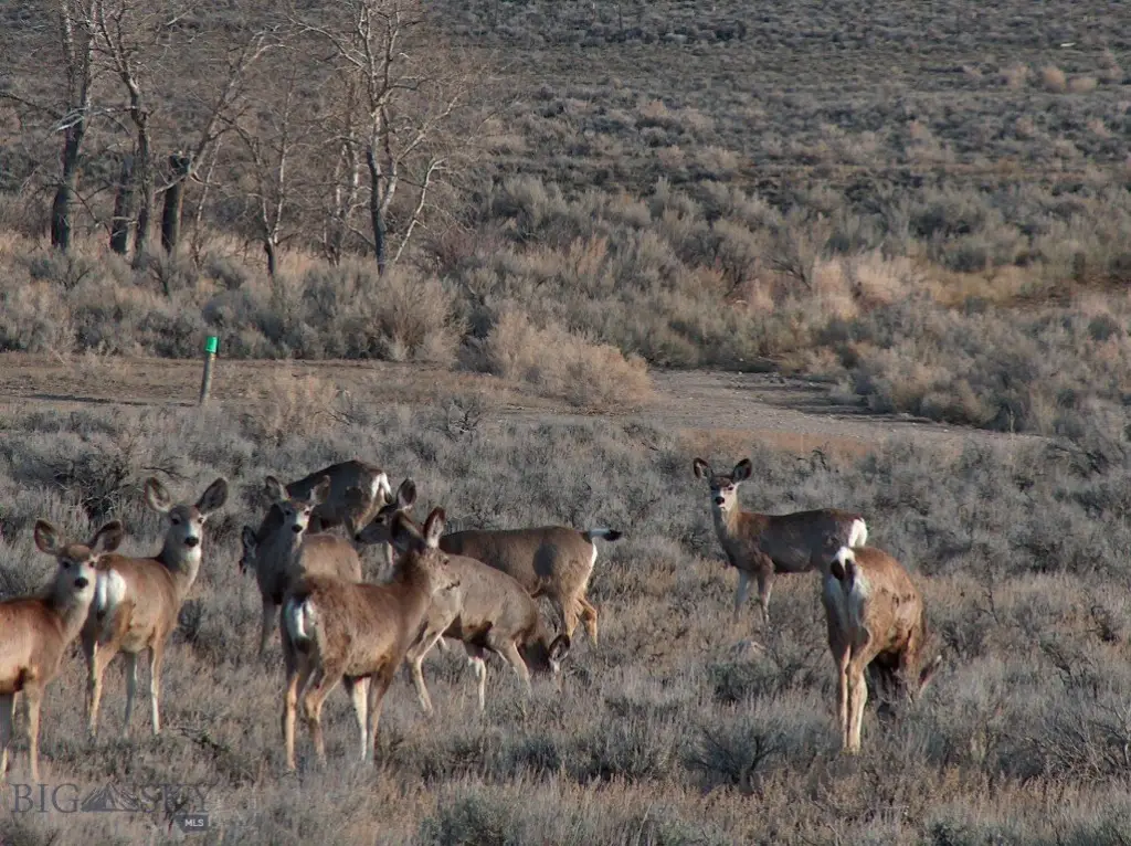
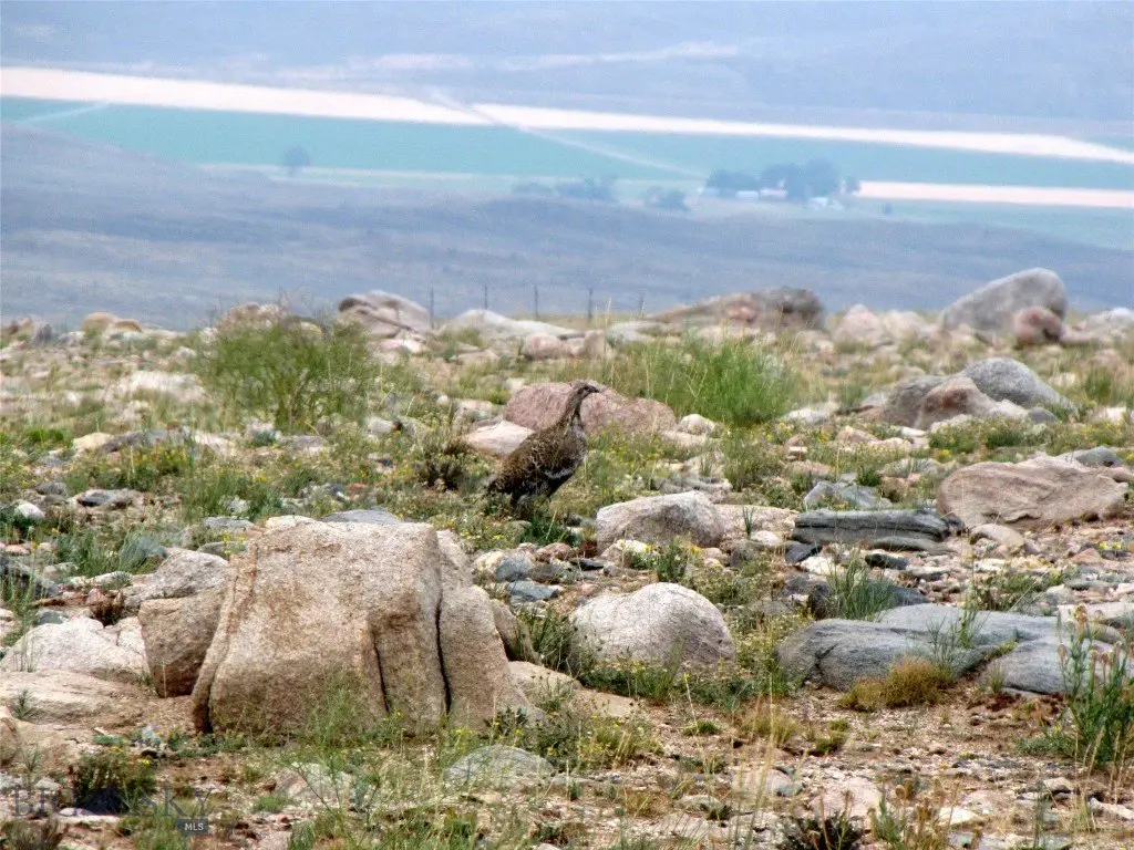
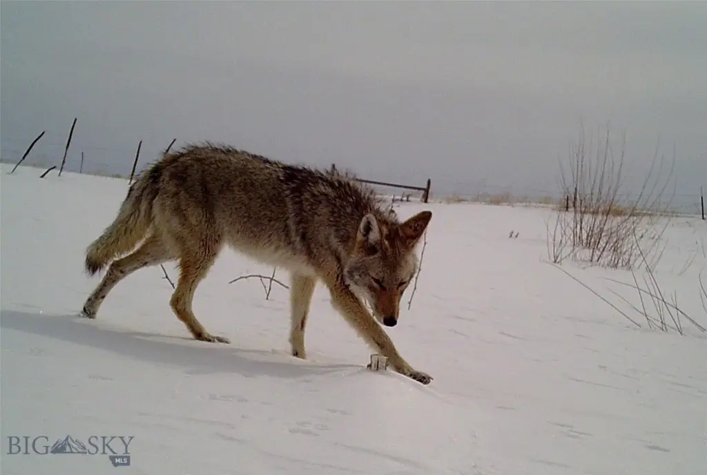
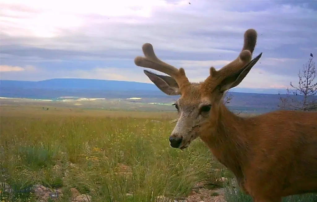
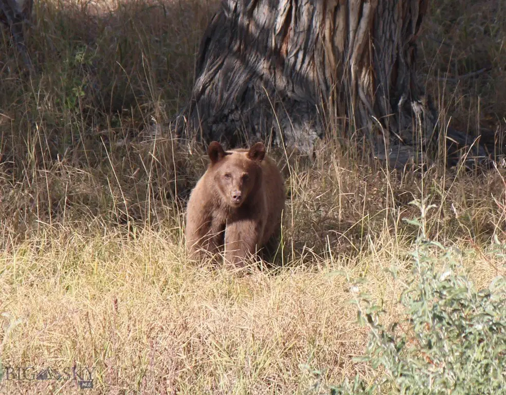
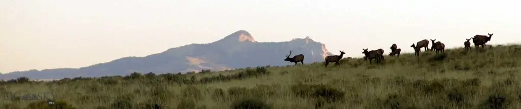
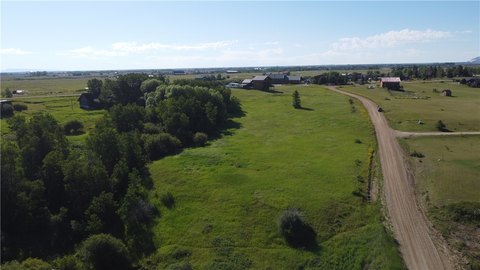
Access is provided through an easement on a BLM road. The parcel is 9 miles from HWY 72, with the final 3 or 4 miles not maintained, and lies 13 miles from Belfry. Red Lodge is 11 miles away via the seasonal Meeteetse Trail road, which requires 4x4 access. Power is miles from the property. Mild covenants apply, with no HOA responsible for enforcement. Wildlife in the area includes elk, deer, antelope, moose, sage grouse, grizzlies, wolves, coyotes, and bears.
Access is provided through an easement on a BLM road. The parcel is 9 miles from HWY 72, with the final 3 or 4 miles not maintained, and lies 13 miles from Belfry. Red Lodge is 11 miles away via the seasonal Meeteetse Trail road, which requires 4x4 access. Power is miles from the property. Mild covenants apply, with no HOA responsible for enforcement. Wildlife in the area includes elk, deer, antelope, moose, sage grouse, grizzlies, wolves, coyotes, and bears.
Key Highlights
- 20 acres of recreational land at the foot of the Beartooth Mountains
- Creek has flowed year‑round in recent years but has historically been seasonal
- Mountain and valley views across the property
Property Analytics
Unlock full access to Insights
Subscribe to Realmo Intelligence
Open Analytics
Current Use
Lease Details
Yes
Paved road access
Location Intelligence
Demographics for 59068, MT
3,670
Population
2,967
Households
1.2
Avg Household Size
52
Median Age
47%
College-Educated
99%
High-School Grad
520.9 sq mi
ZIP Area
7
Density / Sq Mi
$63,704
Median Household Income
$33,293
Median Earnings
$795
Median Rent
$413,900
Median Home Value
Check the figures for this property
Cap Rate, Value Estimation, Potential NOI and more
View Realmo Analytics

Questions? Ask Rey
Realmo’s AI knows this listing — price, zoning, demand, history. Ask anything.
Frequently Asked Questions
What type of property is this?
Recreation land - Recreational acreage with a creek and expansive Beartooth Mountain and valley views.
Where is this recreation land located?
The property is located at nhn Ranger Way Red Lodge, MT.
What is the asking price?
The asking price for this property is $179,900.
What are key features of this property?
This property features: 20 acres of recreational land at the foot of the Beartooth Mountains; Creek has flowed year‑round in recent years but has historically been seasonal; Mountain and valley views across the property