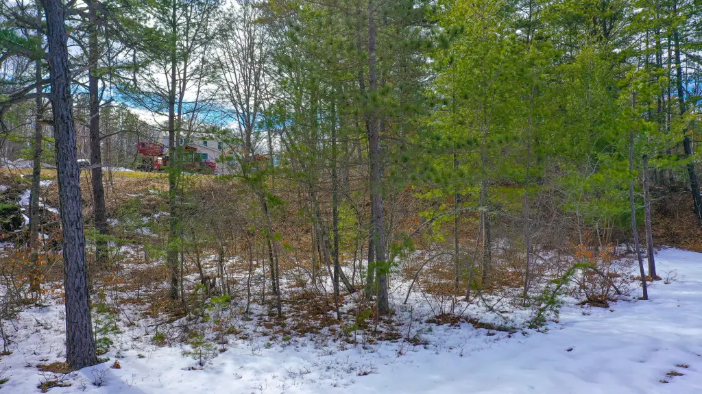
Residential Land


For Sale
$99,900
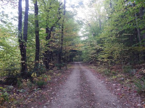
Rattlesnake Road lot 43, Brownfield, ME 04010
LAND - Brownfield, ME
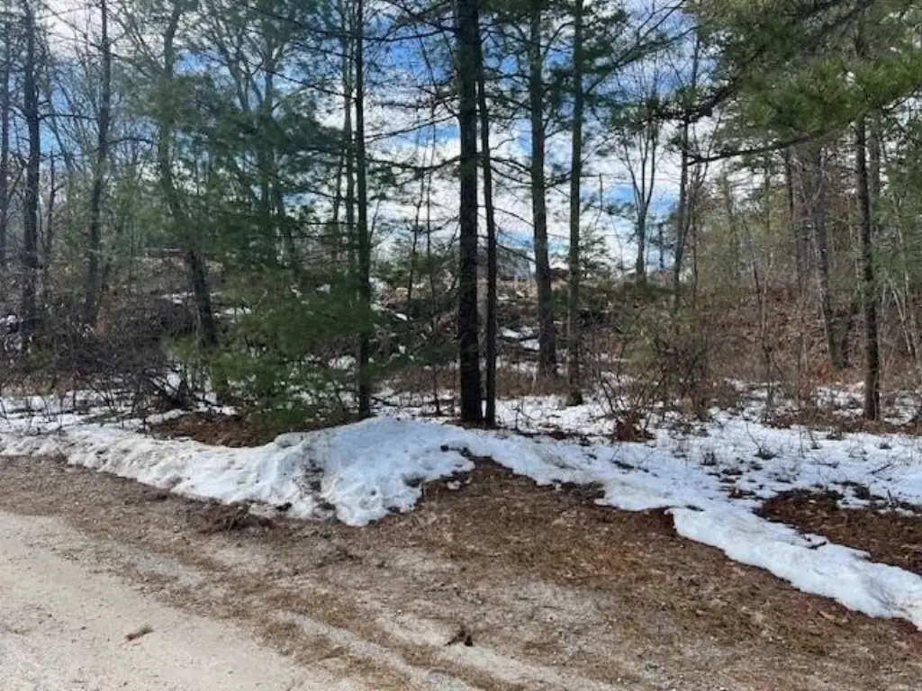
Lot Size0.38 Acres
Days on Market51
Property Features for Rattlesnake Road lot 43
General Information
Property type
Land
Property subtype
Other
Zoning
Residential
Parking features
None
Lot features
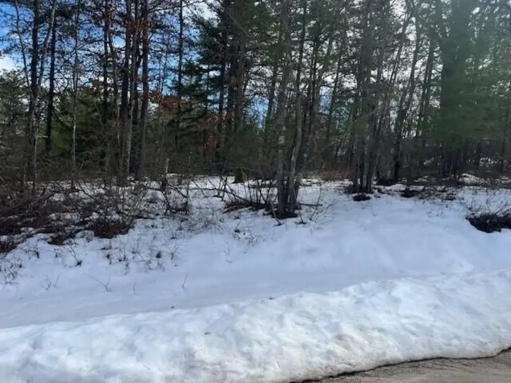
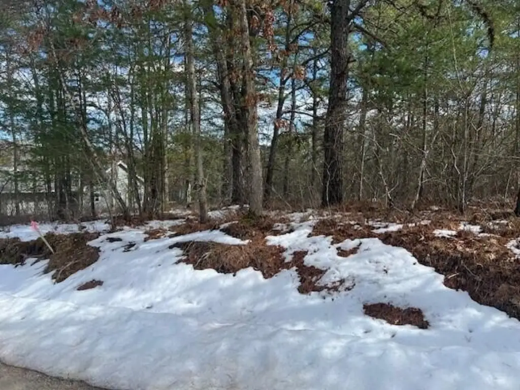
Rolling/ Sloping, Wooded, Neighborhood
Standard status
Active
Lot size
0.38 Acres
Taxes and HOA fees
Tax Year
2025
Tax Annual Amount
481
HOA Fee
$21 Monthly
Utilities
Sewer type
Septic Needed
Water source
Well Needed
Listing Agency:
Pine Tree Realty of Maine
(207) 693-9111
Listed By:
Jodi Chute · License #BR920741
(207) 232-5730
Added: Jun 11
Changed: Jul 9
Last Checked: Jul 31 at 9:06AM
MLS# 1658455
Copyright © 2026 Maine Listings. All rights reserved. All information provided by the listing agent/broker is deemed reliable but is not guaranteed and should be independently verified.
Investment Insights
Based on property information with market context.
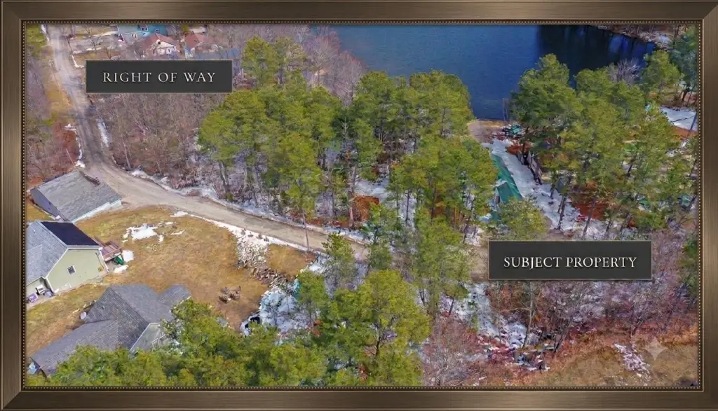
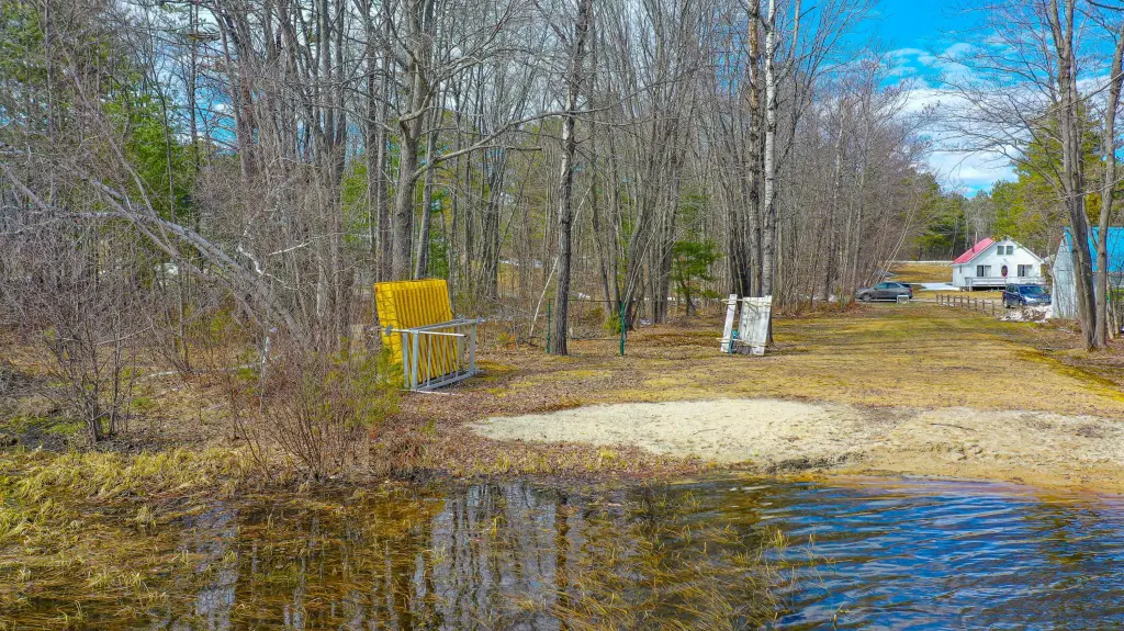
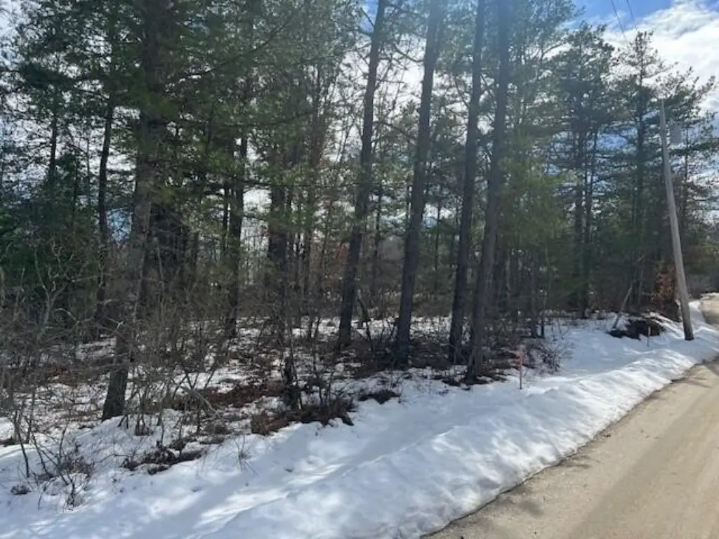
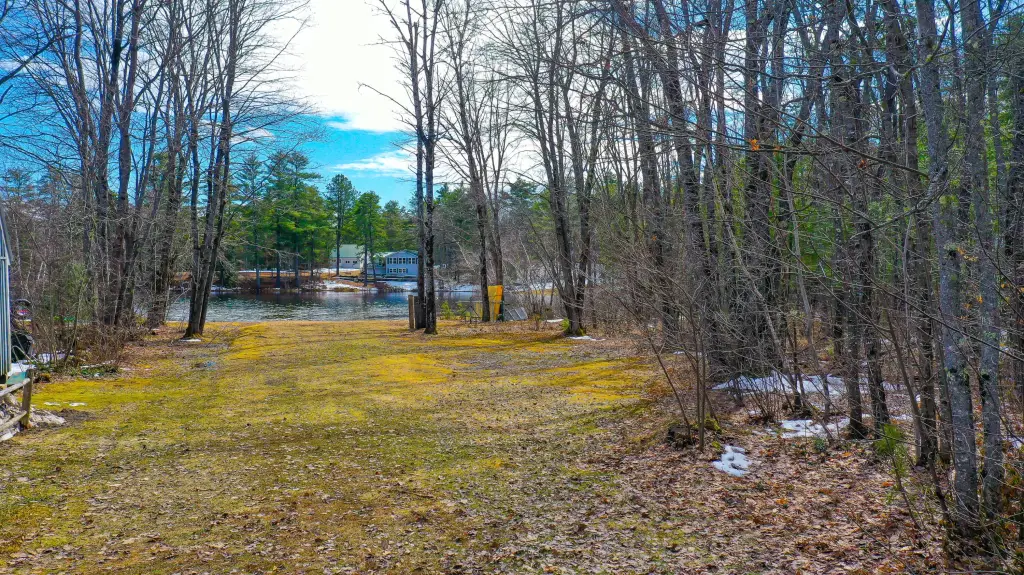
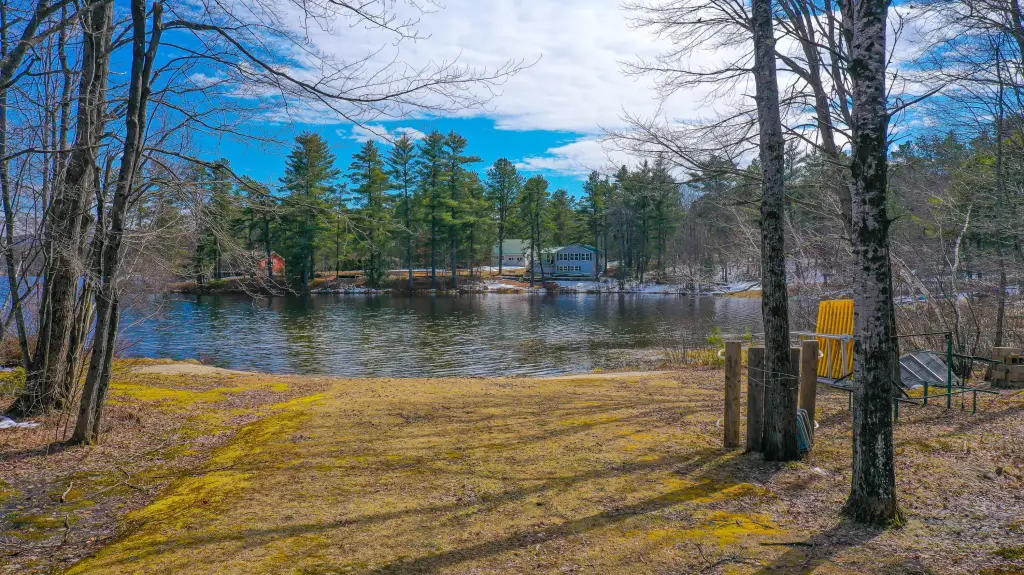
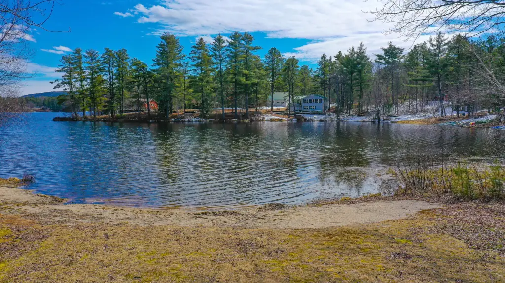
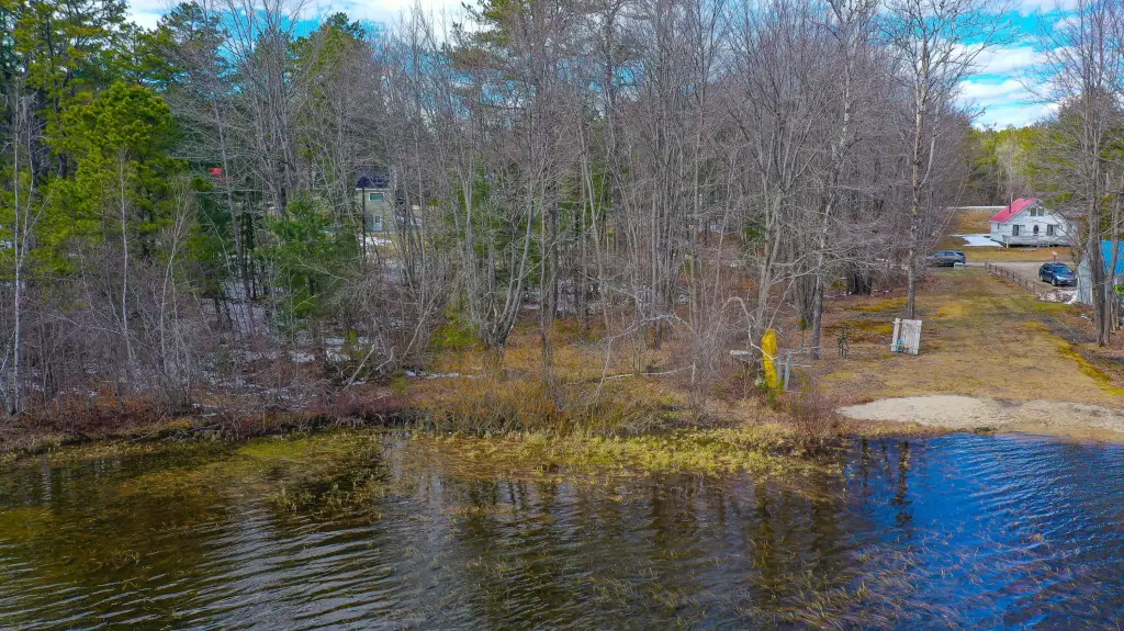
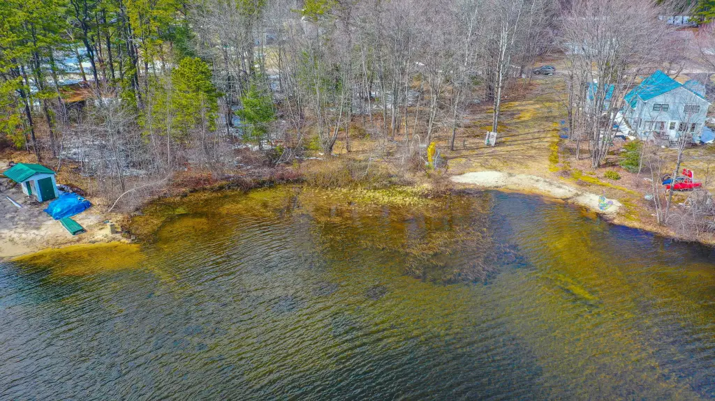
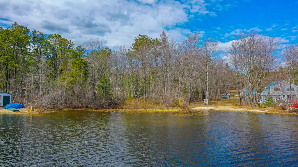
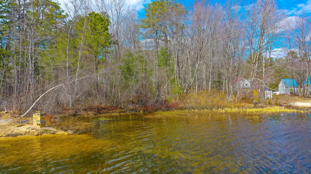
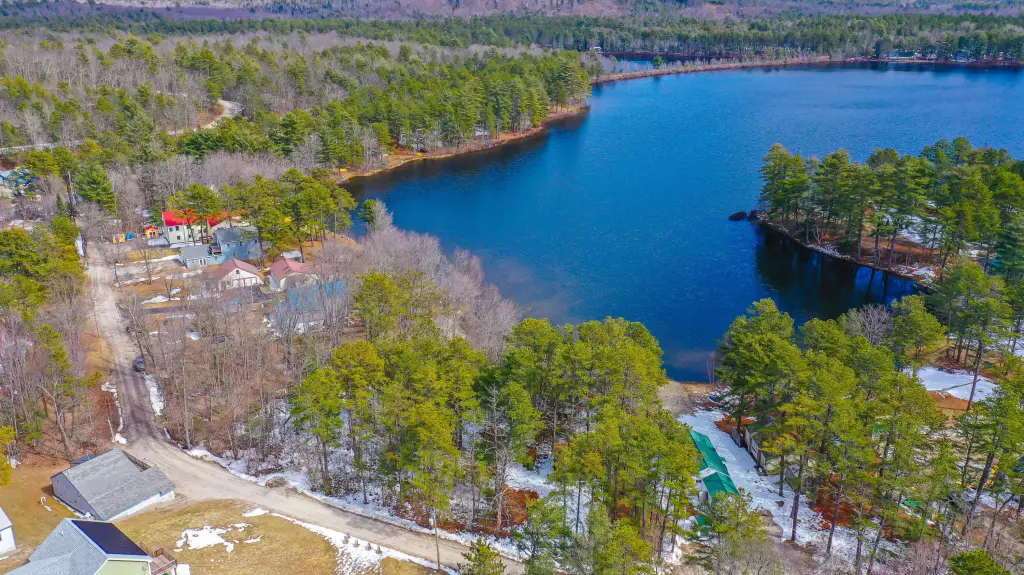
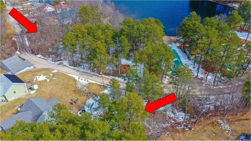
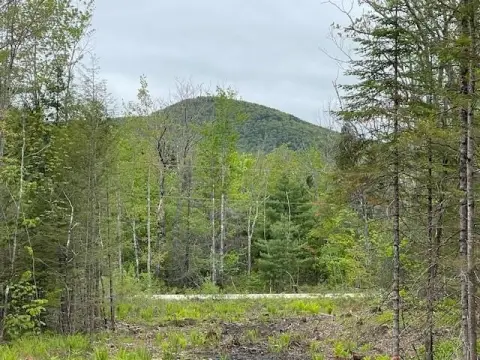
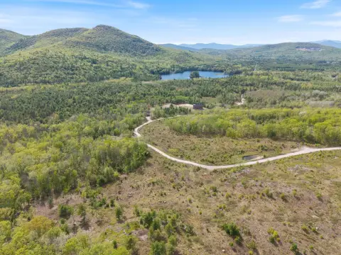
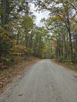
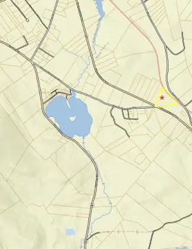
For sale is a residential-zoned land lot in Brownfield, Maine, totaling 0.38 acres. The property includes road frontage on either Rattlesnake Road or Wakefield Road, offering flexibility in how you approach building on the site. Seller remarks indicate a one-minute walk to a right of way leading to Pequawket Pond’s sandy beach.
Pequawket Pond access supports summer recreation such as kayaking, swimming, boating, and fishing, along with winter activities including ice skating, ice fishing, and snowmobiling. The seller also notes that choosing Wakefield Road could offer potential water views.
Nearby destinations listed in the remarks include Bridgton, Fryeburg, and North Conway, with the option for Fryeburg Academy attendance. Seller offering concessions.
Key Highlights
- Access to Pequawket Pond sandy beach via a right of way about a 1‑minute walk away
- Well needed for water and septic needed for sewer
- Road frontage on Rattlesnake Road or Wakefield Road, offering flexibility for building your home
Property Analytics
Property Profile
Current Use
Lease Details
Yes
Paved road access
Location Intelligence
Trade Area within ½ mile
11
Businesses Nearby
Explore this area
Business Placement
Demographics for 04010, ME
1,631
Population
914
Households
1.8
Avg Household Size
46
Median Age
25%
College-Educated
92%
High-School Grad
44.0 sq mi
ZIP Area
37
Density / Sq Mi
$59,291
Median Household Income
$26,467
Median Earnings
$1,542
Median Rent
$267,200
Median Home Value

Questions? Ask Rey
Realmo’s AI knows this listing — price, zoning, demand, history. Ask anything.


Frequently Asked Questions
What type of property is this?
Residential land & home lot - Residential-zoned lot with road frontage and access via a right of way to Pequawket Pond’s sandy beach.
Where is this residential land & home lot located?
The property is located at Rattlesnake Road lot 43 Brownfield, ME.
What is the asking price?
The asking price for this property is $99,900.
What are key features of this property?
This property features: Access to Pequawket Pond sandy beach via a right of way about a 1‑minute walk away; Well needed for water and septic needed for sewer; Road frontage on Rattlesnake Road or Wakefield Road, offering flexibility for building your home