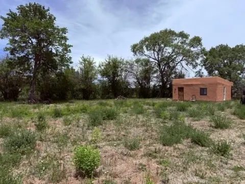
Residential Land Lot in Low-Density
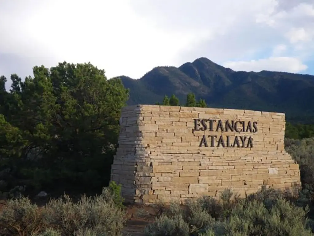
Estancias Atalaya lot 25 Ranchos de Taos, NM 87557
For Sale
$222,000
LAND - Ranchos de Taos, NM
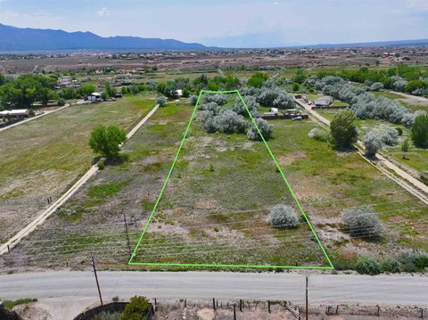
Lot Size4.49 Acres
Days on Market49
Property Features for Estancias Atalaya lot 25
General Information
- Property type
- Land
- Property subtype
- Other
- Standard status
- Active
- APN
- 1069143205207
- Lot size
- 4.49 Acres
Taxes and HOA fees
- Tax Description
- ESTANCIAS ATALAYA LOT 25 TWP 24N RGE 12E SEC 9 4.498 ACRES QUAD 3 CLASS C CALLE CORDILLERA
- Tax Annual Amount
- 759
Utilities
- Sewer type
- Unknown
- Water source
- Well
Listing Agency:
Berkshire Hathaway HomeServices Taos Real Estate
(575) 758-1924
Listed By:
John Phillips · License #43292
(575) 758-1924
Added: Jun 7
Changed: Jun 15
Last Checked: Jul 25 at 6:06AM
MLS# 115151
Copyright © 2026 Enchanted Circle Association of REALTORS®. All rights reserved. All information provided by the listing agent/broker is deemed reliable but is not guaranteed and should be independently verified.
Investment Insights
Based on property information with market context.
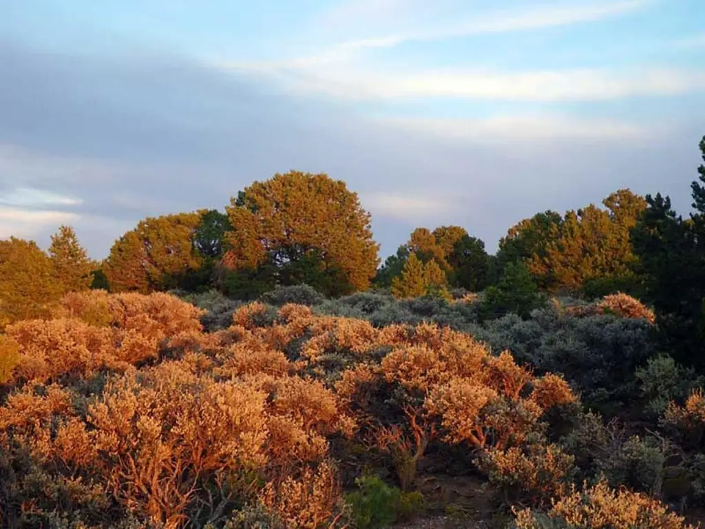
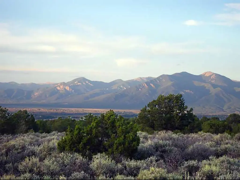
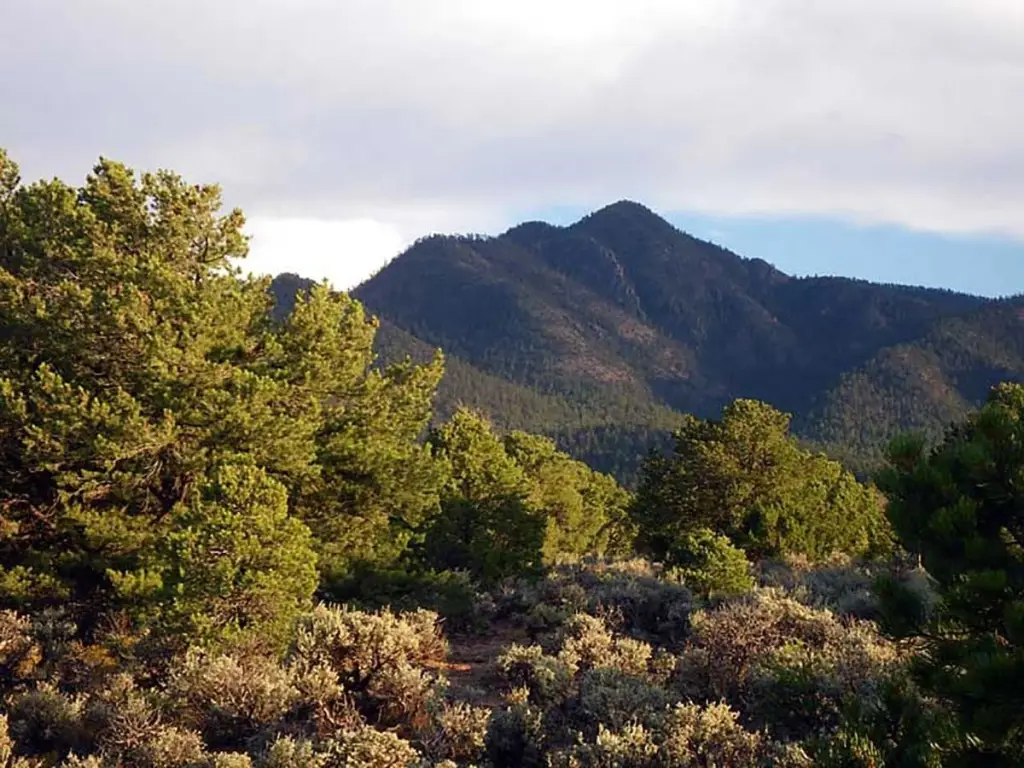
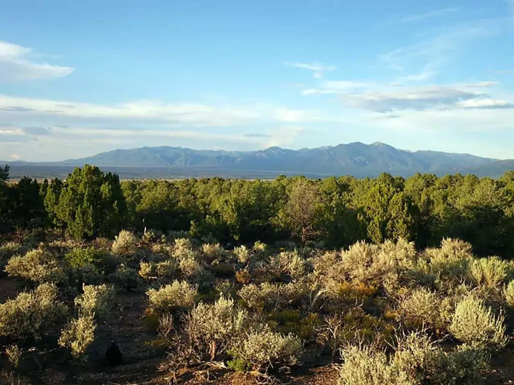
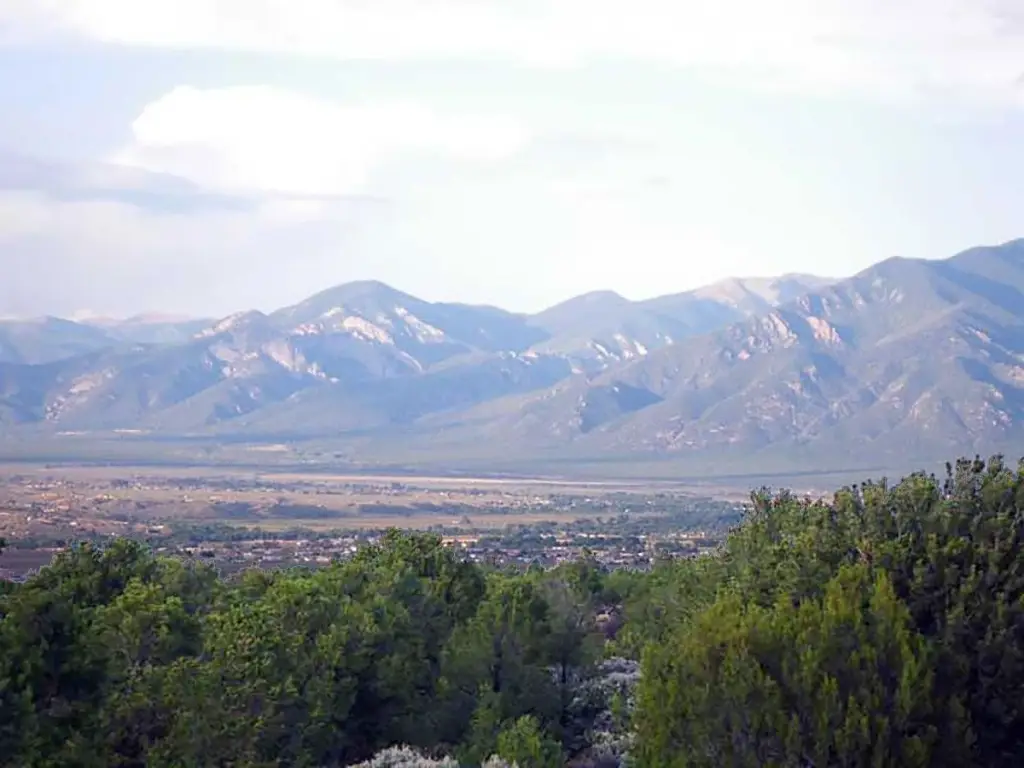
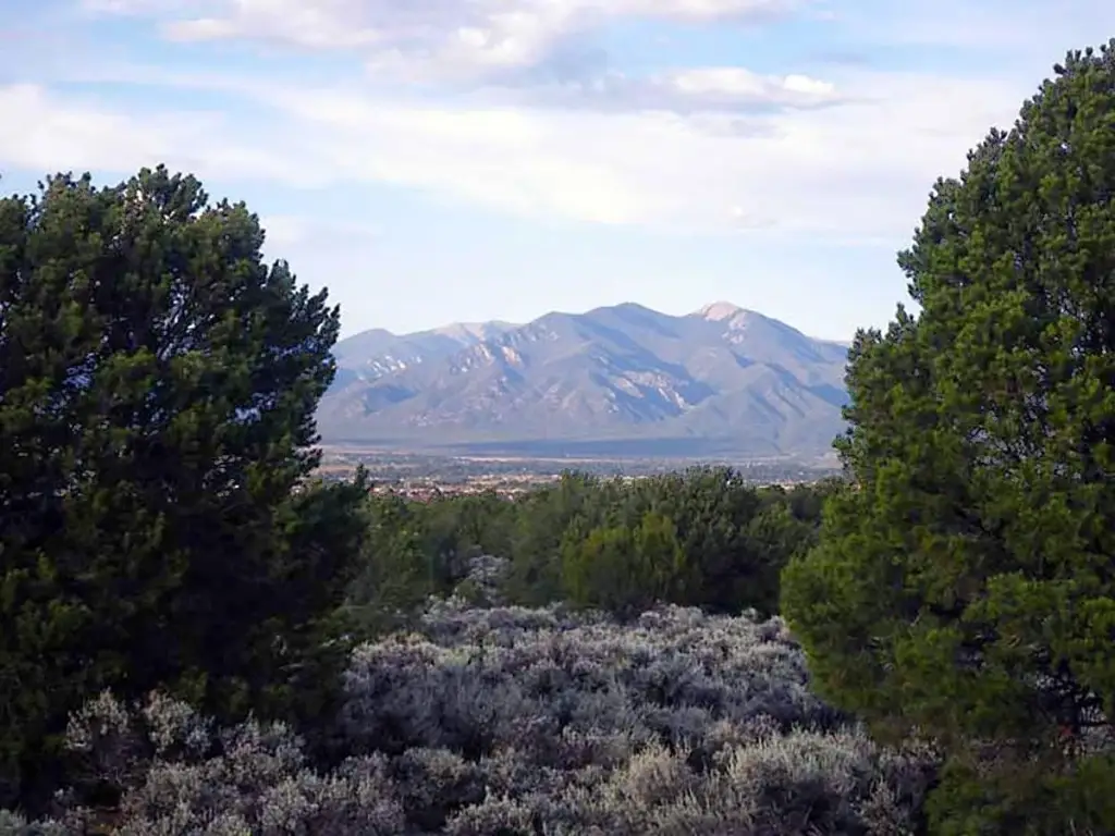
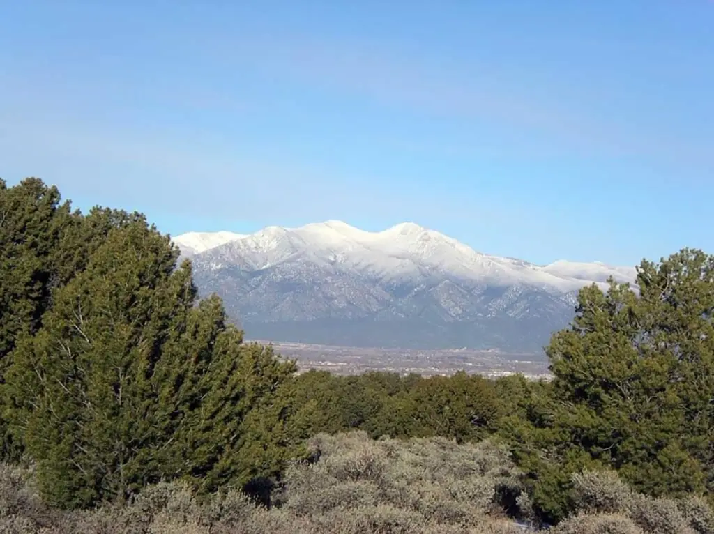
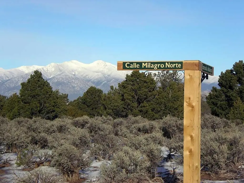
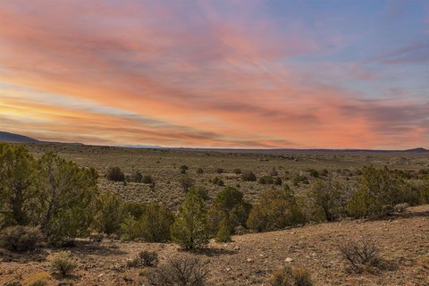
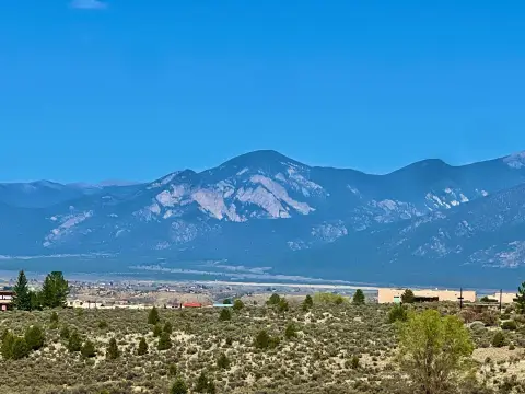
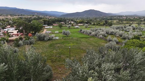
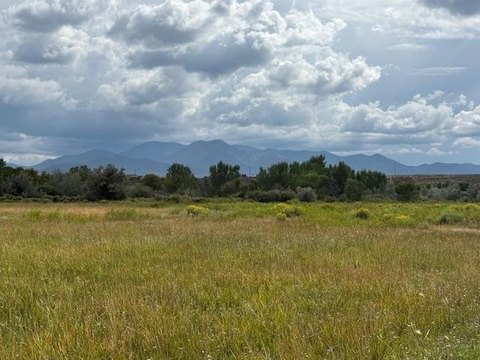
This for-sale residential land lot is Lot 25 in Estancias Atalaya, a low-density community designed around preserved natural landscapes and architectural integrity. The property sits on an elevated slope southwest of Taos and offers views across Taos Mountain toward the Rio Grande Gorge and Pedernal. The community includes an exclusive private open space network with a 1.25-mile single-track trail and protected wildlife corridors, supported by development guidelines such as no-further-subdivision clauses, building height limits, and dark-sky exterior lighting.
Estancias Atalaya is described as being just minutes from the Rio Grande, the 6,300-acre Rift Valley Trail system, and the Taos Country Club, placing outdoor recreation options nearby. Infrastructure is already in place at the lot line, including fiber-optic internet, natural gas, electric service, and an advanced community water system fed by eight high-producing wells.
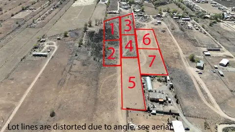
For buyers looking to build in a planned, trail-connected setting, this lot offers a ready-to-develop foundation through utilities at the boundary and a community framework intended to protect landscape integrity. Additional lots are available within the subdivision, with this offering representing one of 32 parcels under the listing agreement.
Estancias Atalaya is described as being just minutes from the Rio Grande, the 6,300-acre Rift Valley Trail system, and the Taos Country Club, placing outdoor recreation options nearby. Infrastructure is already in place at the lot line, including fiber-optic internet, natural gas, electric service, and an advanced community water system fed by eight high-producing wells.
For buyers looking to build in a planned, trail-connected setting, this lot offers a ready-to-develop foundation through utilities at the boundary and a community framework intended to protect landscape integrity. Additional lots are available within the subdivision, with this offering representing one of 32 parcels under the listing agreement.
Key Highlights
- 4.498‑acre lot in Estancias Atalaya; additional lots available under the listing agreement (32 parcels total).
- Infrastructure at the lot line includes fiber‑optic internet, natural gas, and electric.
- Advanced community water system supplied by eight high‑producing wells.
Property Analytics
Property Profile
Location Intelligence
Current Use by Public Records
Residential land & home ...


FAQs
What type of property is this?
Residential land & home lot - Build on an elevated Taos-area land lot with utilities at the lot line and access to private open space trails.
Where is this residential land & home lot located?
The property is located at Estancias Atalaya lot 25 Ranchos de Taos, NM.
What is the asking price?
The asking price for this property is $222,000.
What are key features of this property?
This property features: 4.498‑acre lot in Estancias Atalaya; additional lots available under the listing agreement (32 parcels total).; Infrastructure at the lot line includes fiber‑optic internet, natural gas, and electric.; Advanced community water system supplied by eight high‑producing wells.