Lakeside Recreational
POTATO BOTTOM Rd Lakeside, OR 97449


For Sale
$229,000
LAND - Lakeside, OR
Lot Size5.00 Acres
Days on Market620
Property Features for POTATO BOTTOM Rd
General Information
- Property type
- Land
- Property subtype
- Other
- Zoning
- Q-RR-5
- Standard status
- Active
- APN
- 33221
- Lot size
- 5.00 Acres
Taxes and HOA fees
- Tax Description
- 23S 12W 21 TL 603
- Tax Annual Amount
- 663
Utilities
- Water front features
- Lake
- Water front
- 1
Listing Agency:
Pacific Properties
(541) 269-5263
Listed By:
Joe Bollig · License #201227582
(541) 740-2778
Added: Nov 12, 2024
Changed: Jun 4
Last Checked: Jul 25 at 7:06PM
MLS# 24534409
Copyright © 2026 Regional Multiple Listing Services. All rights reserved. All information provided by the listing agent/broker is deemed reliable but is not guaranteed and should be independently verified.
Investment Insights
Based on property information with market context.
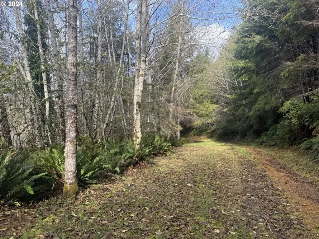
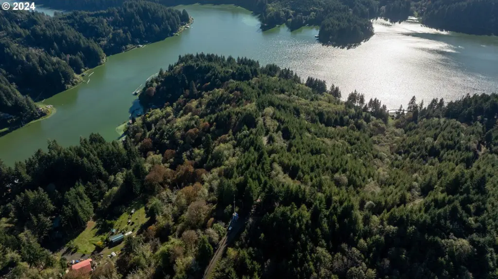
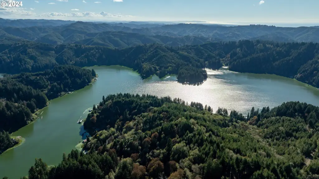
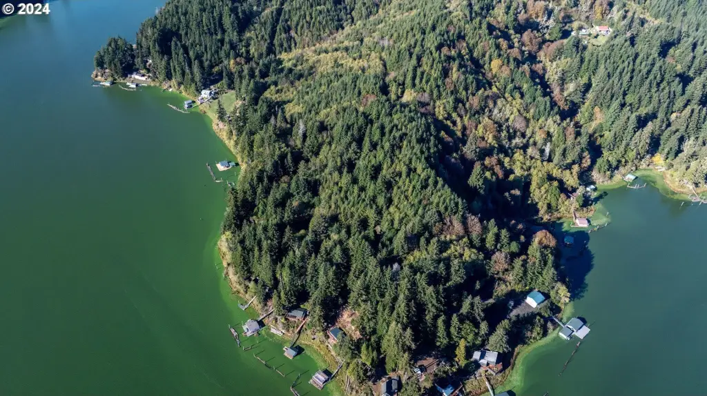
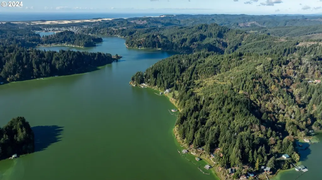
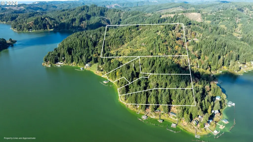
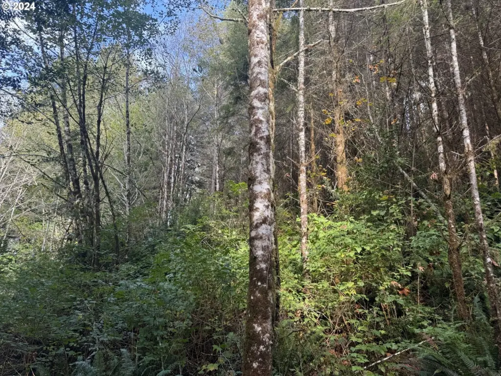
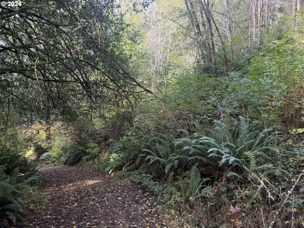
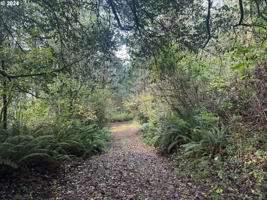
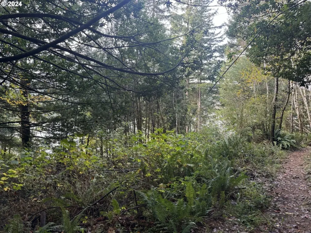
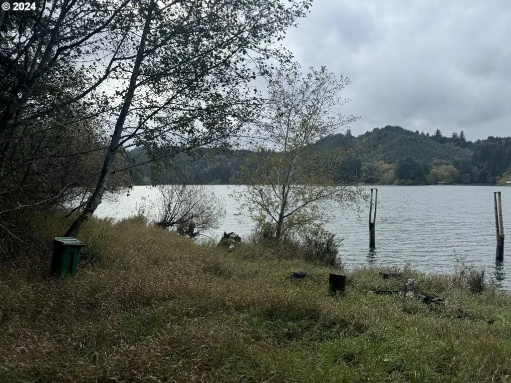
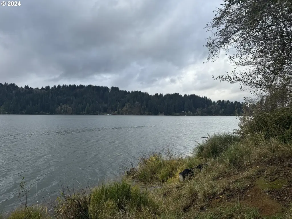
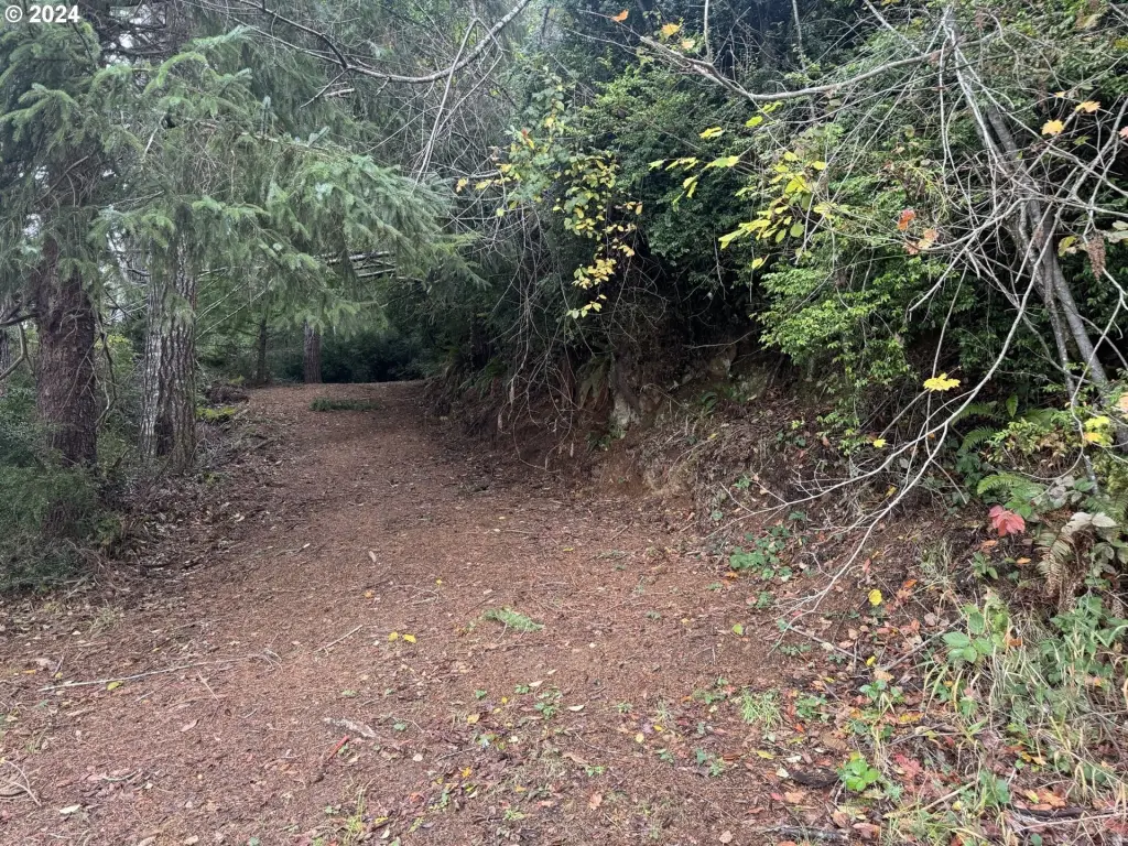
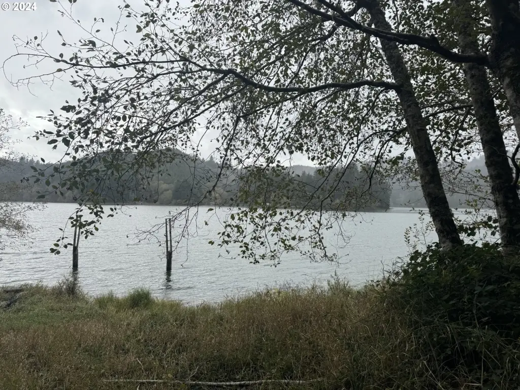
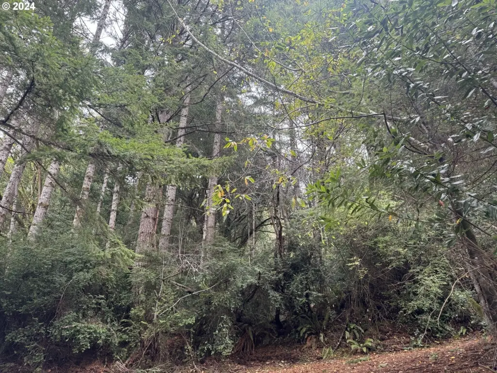
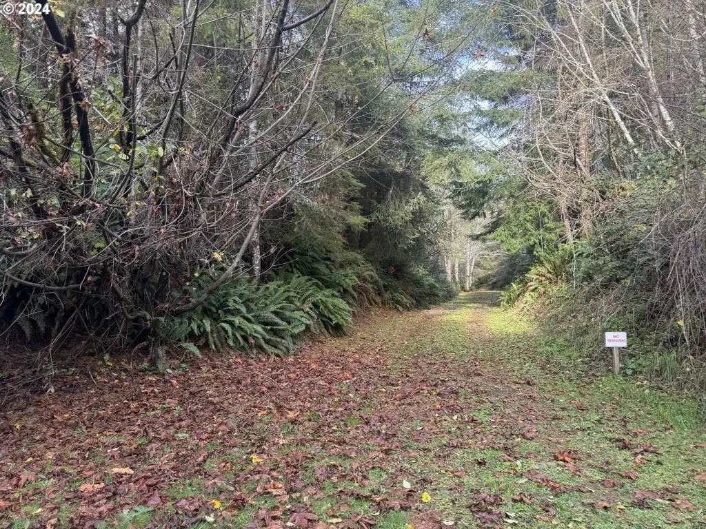
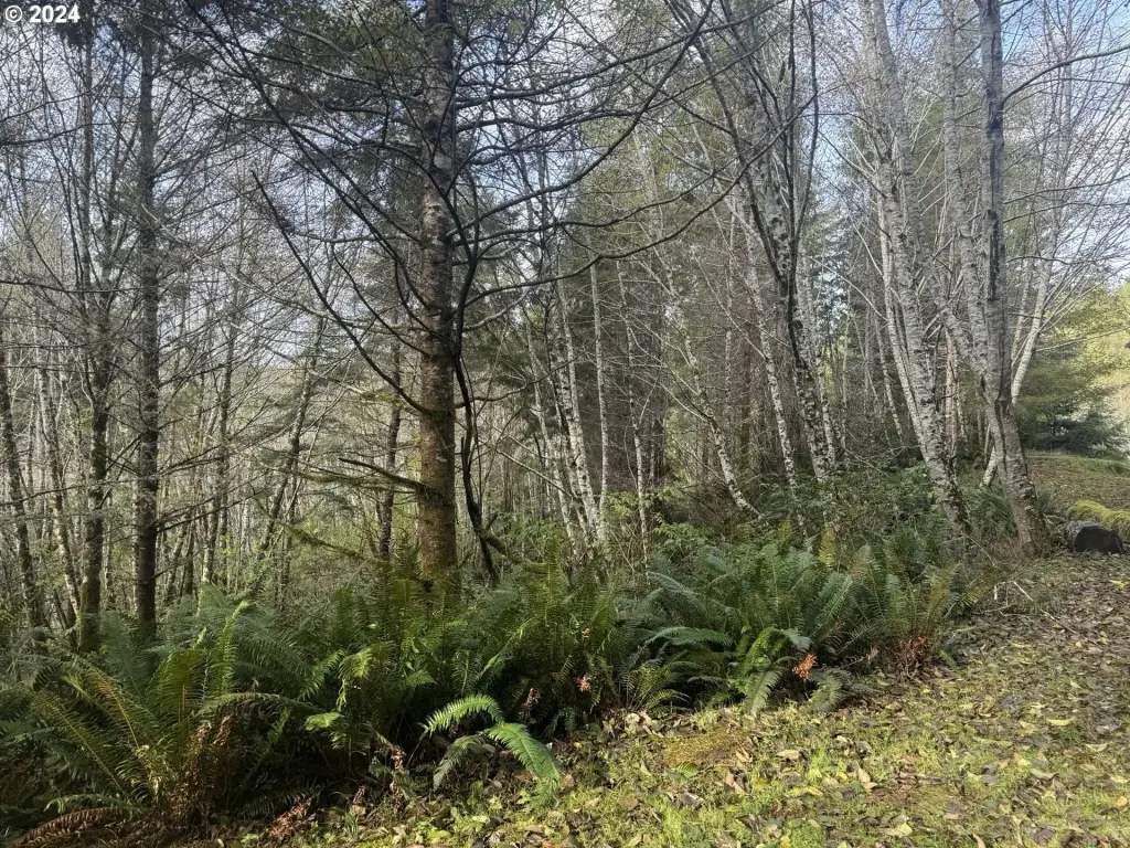
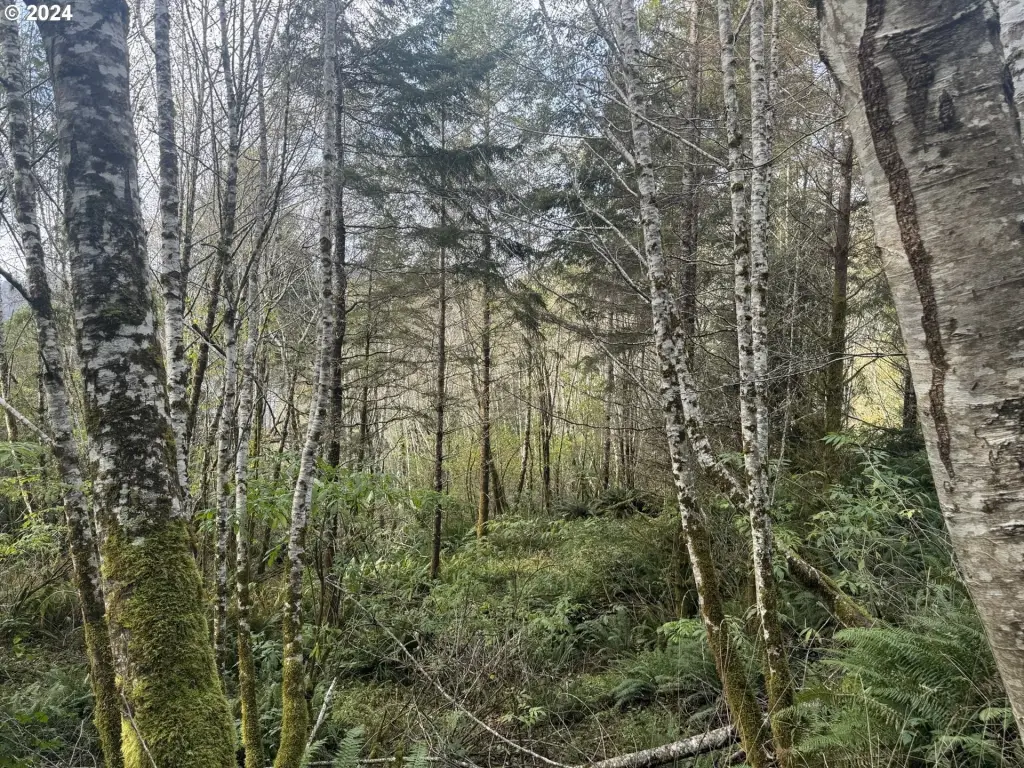
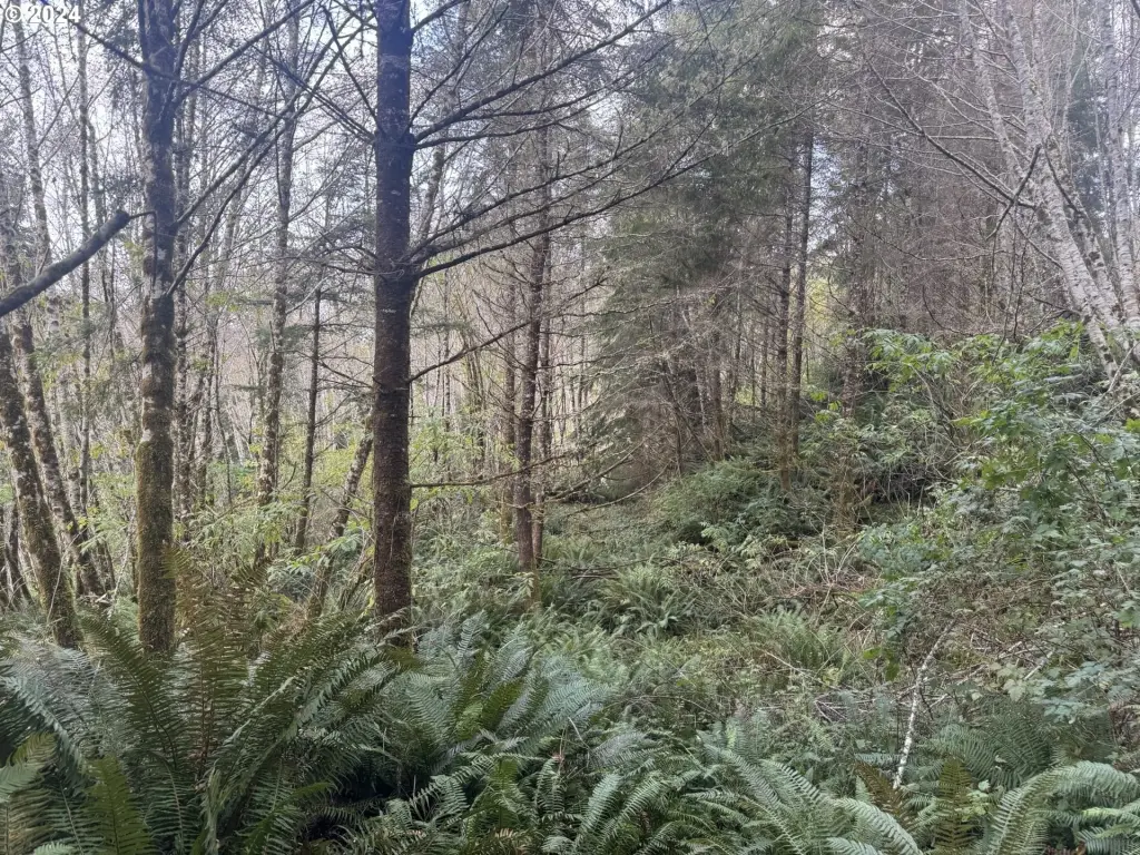
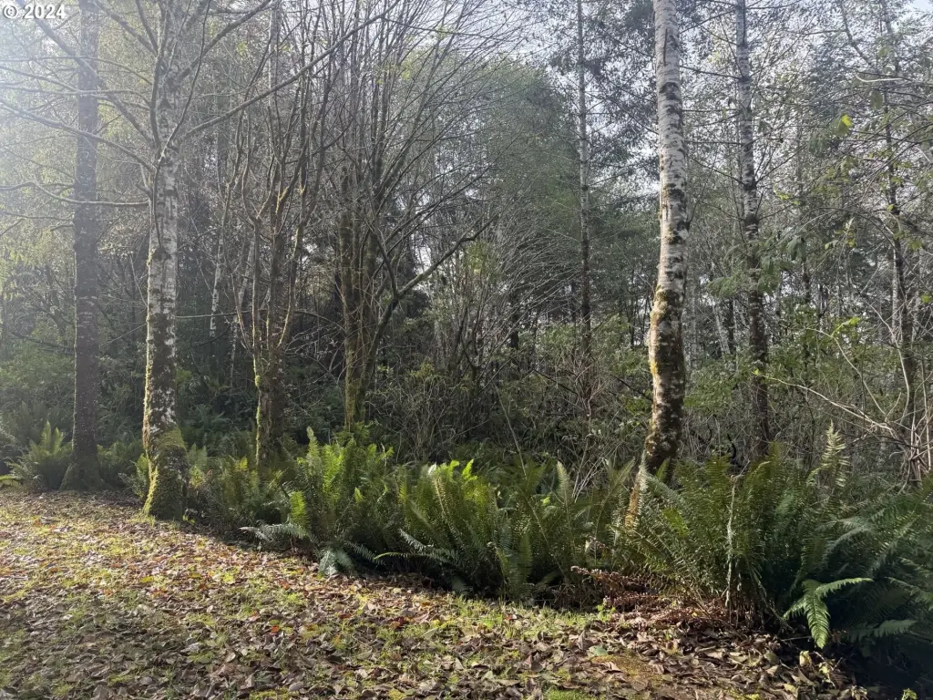
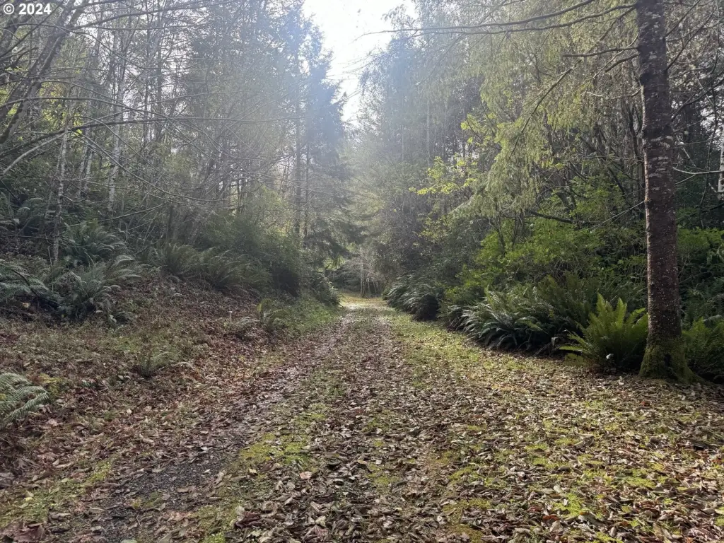
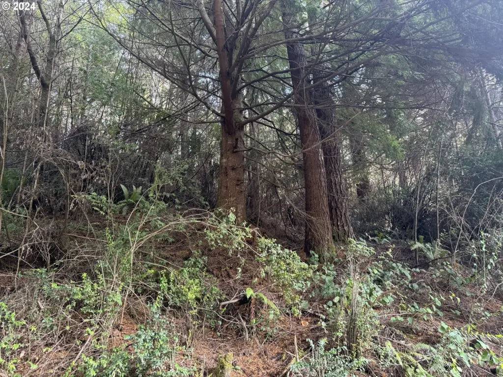
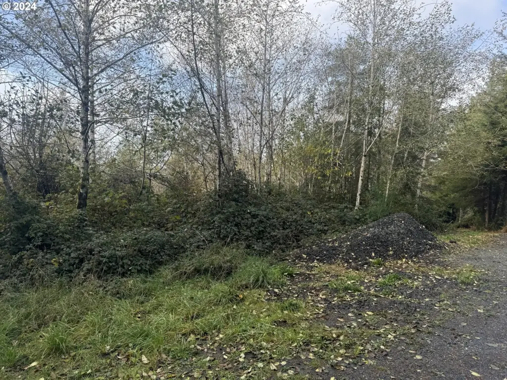
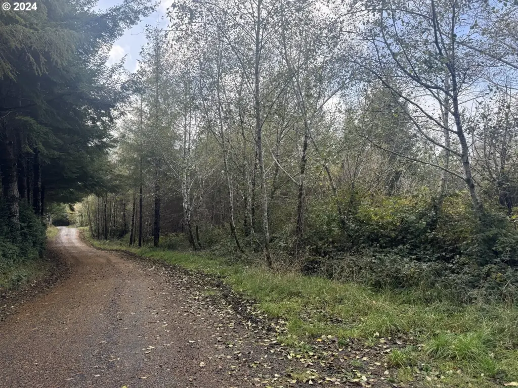
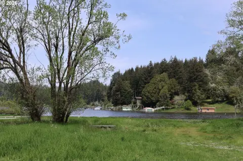
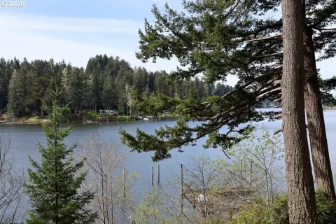
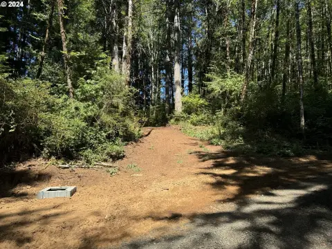
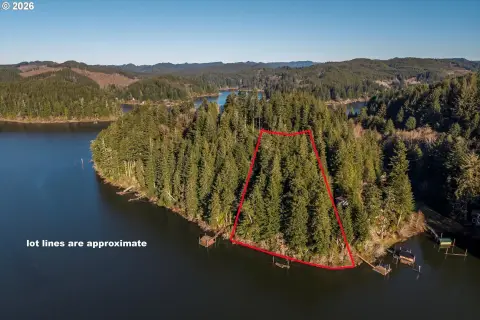
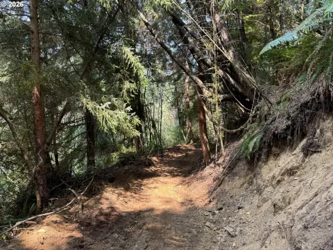
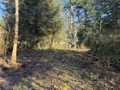
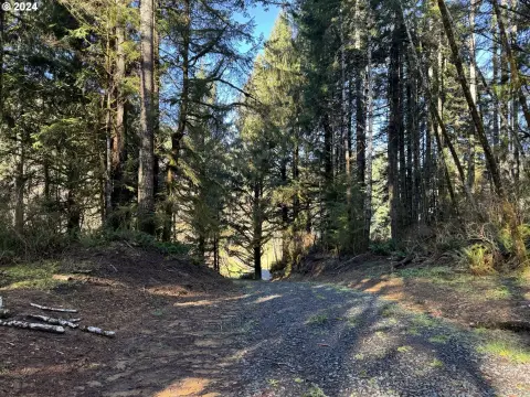
This sale offers a lakeside parcel of approximately 5 +/- acres with about 295 feet of frontage on South Tenmile Lake. The property is heavily treed with rolling terrain, featuring lush ferns, grown alder, and aged conifers. Based on the seller’s notes, the area appears to be “HLHL,” and any development will require a geotechnical report.
The land is zoned Q-RR-5. The listing states there are no developed utilities on site and that there is no perc test on record. Power is noted as being nearby, and prospective buyers should plan for additional due diligence regarding site development requirements.
For buyers seeking recreational property by a lake, this configuration provides direct water access and a private, natural setting supported by the described shoreline frontage and mature tree cover. Because development would require geotechnical work and the listing also references ongoing Potato Bottom Road Association fees and maintenance, buyers should confirm access, costs, and build feasibility during their research. The seller requests that the property only be visited accompanied by a licensed real estate broker.
Key Highlights
- 5 +/- acres with approx. 295' of South Tenmile Lake frontage
- Waterfront feature: lake access to South Tenmile Lake for recreation
- Zoned Q‑RR‑5
Property Analytics
Property Profile
Location Intelligence
Current Use by Public Records
Waterfront Land


FAQs
What type of property is this?
Waterfront Land - Secluded, heavily treed land with approximately 295 feet of South Tenmile Lake frontage for recreational use.
Where is this waterfront land located?
The property is located at POTATO BOTTOM Rd Lakeside, OR.
What is the asking price?
The asking price for this property is $229,000.
What are key features of this property?
This property features: 5 +/- acres with approx. 295' of South Tenmile Lake frontage; Waterfront feature: lake access to South Tenmile Lake for recreation; Zoned Q‑RR‑5


