Entitled Shovel-Ready Residential
For Sale
$1,250,000
Hubbard Ln, Port Orford, OR 97465
Land, PortOrford, OR
Property SizeContact for details
Lot Size7.33 Acres
Days on Market63
Property Features for Hubbard Ln
General Information
Property type
Land
Property subtype
Single Family Residence
Zoning
R2
Subdivision
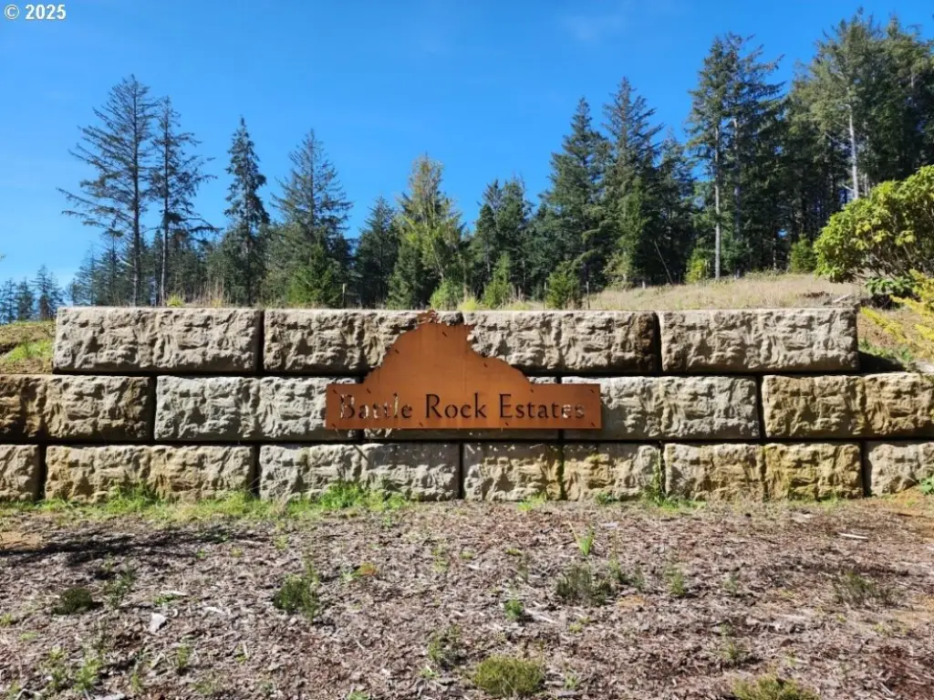
Battle Rock Estates
View
Territorial, Ocean
Elementary school
Driftwood
Middle school
Driftwood
High school
Pacific
Directions
Hwy 101 to Cemetery Loop, West on Hubbard Ln into Battle Rock Estates
Standard status
Active
APN
R62136
Lot size
7.33 Acres
Taxes and HOA fees
Tax Description
TRS 3315-04D-TAX LOTS 1601,1602,1603,1604,1605,1606,1607
Tax Annual Amount
5528
Legal Description
TRS 3315-04D-TAX LOTS 1601,1602,1603,1604,1605,1606,1607
Listing Agency:
Neath The Wind Realty, Inc.
(541) 332-9463
Listed By:
Paul Lambright · License #201231651
(541) 366-1012
Added: Jul 6
Changed: Sep 3
Last Checked: Sep 6 at 6:06AM
MLS# 723613952
Copyright © 2026 Regional Multiple Listing Services. All rights reserved. All information provided by the listing agent/broker is deemed reliable but is not guaranteed and should be independently verified.
Investment Insights
Based on property information with market context.
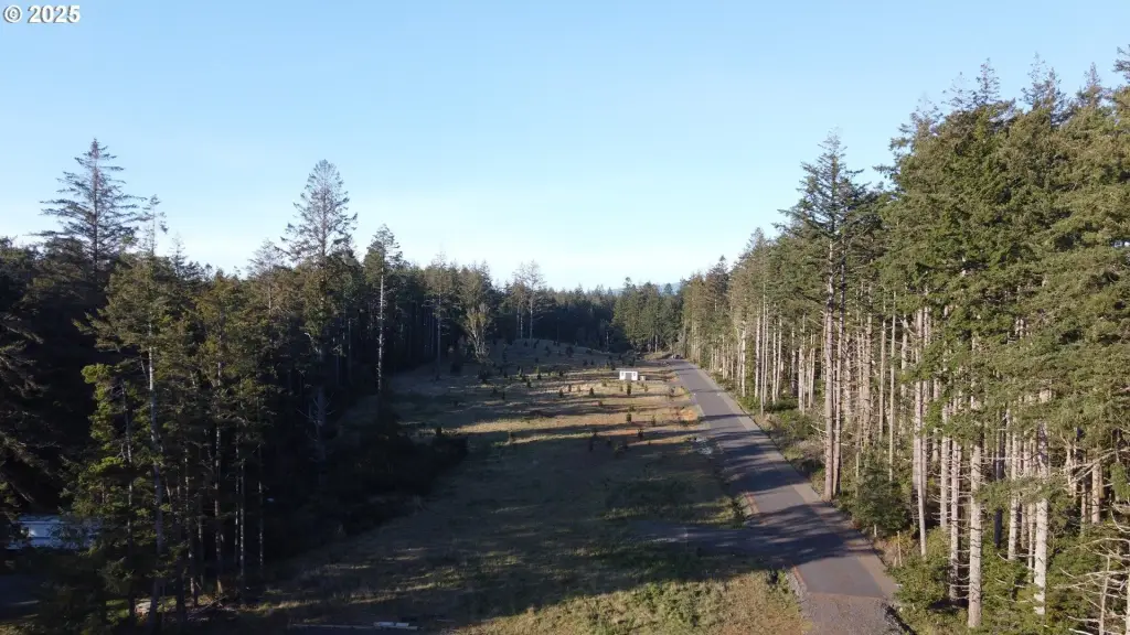
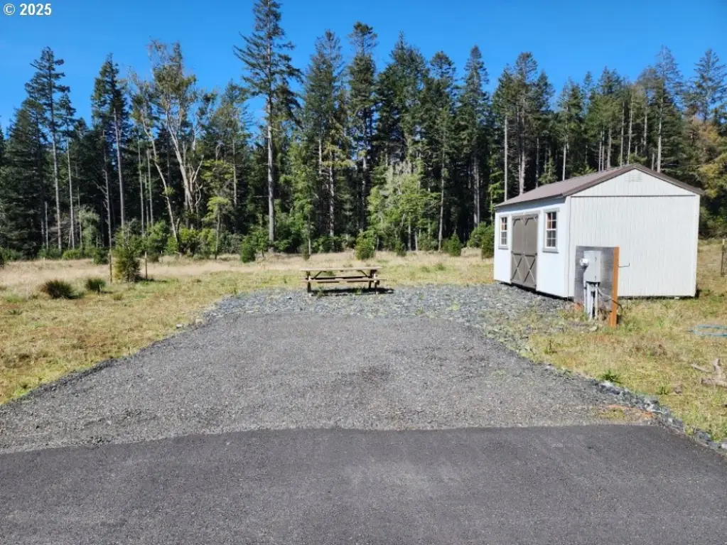
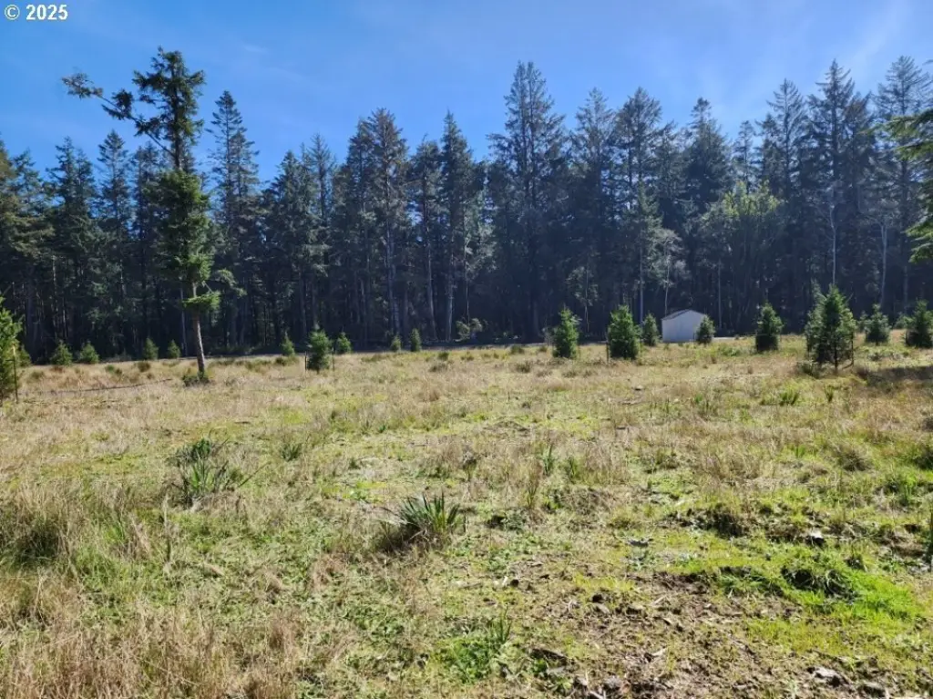
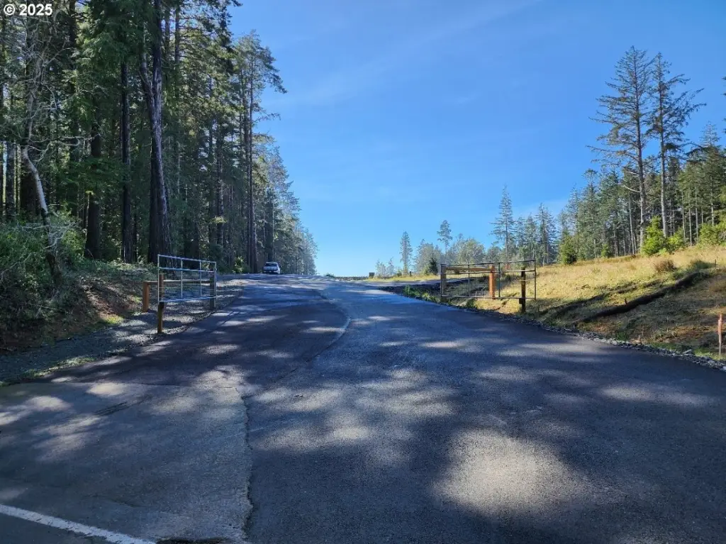
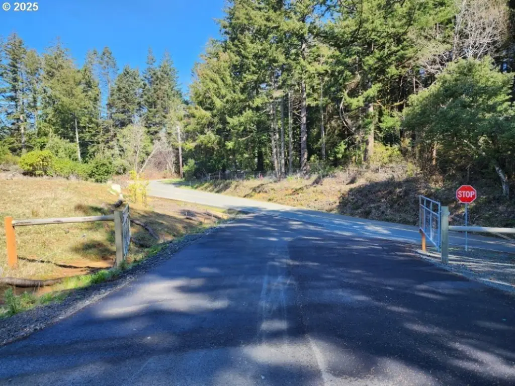
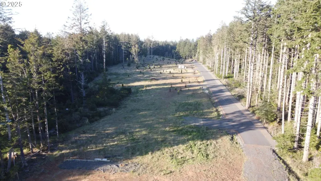
This offering is a fully entitled, shovel-ready residential subdivision planned for seven homesites. Each lot exceeds one acre, and one premium parcel is described as offering Pacific Ocean views. The property is fully improved with installed power, a private well, an individual septic system per parcel, and access provided from a newly paved private road.
The land is located within the Urban Growth Boundary of Port Orford, Oregon, and is within a federally designated Rural Opportunity Zone. The R-2 zoning is listed for the property. The total land area is 7.33 acres.
For buyers and operators, the approved configuration and installed utilities are geared toward fast-start development for custom homes, single-family residences, duplexes, and vacation homes, with the zoning also allowing broader residential investment use. Investors considering federal Rural Opportunity Fund structures should review eligibility for potential QROF-related tax incentives; buyers are advised to consult a tax advisor regarding qualification and benefits.
The land is located within the Urban Growth Boundary of Port Orford, Oregon, and is within a federally designated Rural Opportunity Zone. The R-2 zoning is listed for the property. The total land area is 7.33 acres.
For buyers and operators, the approved configuration and installed utilities are geared toward fast-start development for custom homes, single-family residences, duplexes, and vacation homes, with the zoning also allowing broader residential investment use. Investors considering federal Rural Opportunity Fund structures should review eligibility for potential QROF-related tax incentives; buyers are advised to consult a tax advisor regarding qualification and benefits.
Key Highlights
- Fully entitled, shovel‑ready 7‑lot residential subdivision in Port Orford, Oregon, within the Urban Growth Boundary
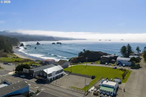
- Each homesite exceeds 1 acre; premium lot includes Pacific Ocean views
- Total land area is 7.33 acres
Property Analytics
Current Use
Lease Details
Yes
Paved road access
Yes
Utilities to site
Location Intelligence
Trade Area within ½ mile
19
Businesses Nearby
Explore this area
Business Placement
Demographics for 97465, OR
2,134
Population
1,376
Households
1.6
Avg Household Size
61
Median Age
37%
College-Educated
96%
High-School Grad
113.9 sq mi
ZIP Area
19
Density / Sq Mi
$39,718
Median Household Income
$24,432
Median Earnings
$848
Median Rent
$292,100
Median Home Value

Questions? Ask Rey
Realmo’s AI knows this listing — price, zoning, demand, history. Ask anything.




Frequently Asked Questions
What type of property is this?
Residential land & home lot - Fully improved seven-lot R-2 subdivision with power, private wells, septic systems, and paved private-road access for immediate builds.
Where is this residential land & home lot located?
The property is located at Hubbard Ln Port Orford, OR.
What is the asking price?
The asking price for this property is $1,250,000.
What are key features of this property?
This property features: Fully entitled, shovel‑ready 7‑lot residential subdivision in Port Orford, Oregon, within the Urban Growth Boundary; Each homesite exceeds 1 acre; premium lot includes Pacific Ocean views; Total land area is 7.33 acres