Wooded Agricultural Conservation
For Sale
$175,000
POORHOUSE Road, Port Tobacco, MD 20677
Land, PORT TOBACCO, MD
Property SizeContact for details
Lot Size3.01 Acres
Days on Market100
Property Features for POORHOUSE Road
General Information
Property type
Land
Property subtype
Other
Elementary school district
CHARLES COUNTY PUBLIC SCHOOLS
Middle school district
CHARLES COUNTY PUBLIC SCHOOLS
High school district
CHARLES COUNTY PUBLIC SCHOOLS
Standard status
Active
Lot size
3.01 Acres
Taxes and HOA fees
Tax Annual Amount
521
Listing Agency:
Zar Realty, LLC
(301) 375-7976
Listed By:
Zelford C Platt · License #604501
(301) 843-2600
Added: Jun 28
Changed: Aug 31
Last Checked: Oct 5 at 8:06PM
MLS# MDCH2056558
Copyright © 2026 Bright MLS. All rights reserved. All information provided by the listing agent/broker is deemed reliable but is not guaranteed and should be independently verified.
Investment Insights
Based on property information with market context.
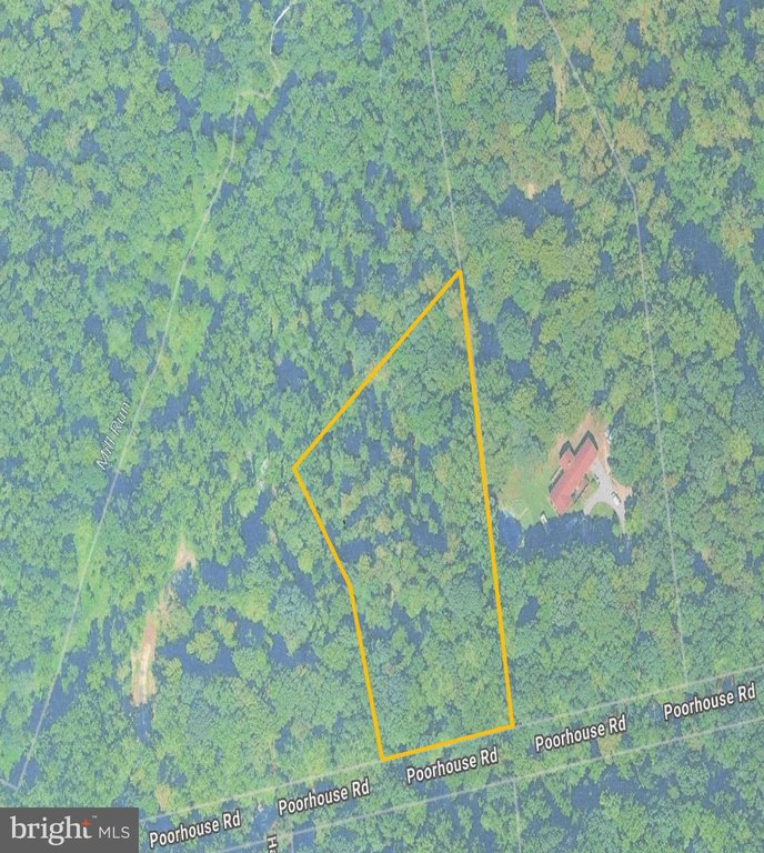
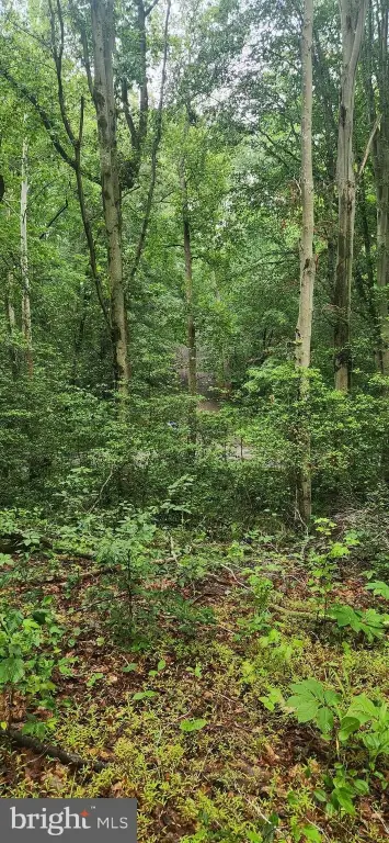
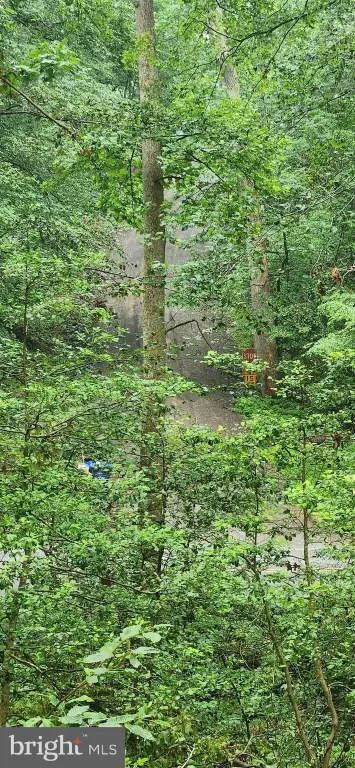
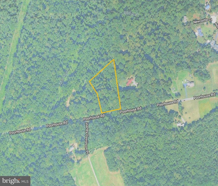
This offering is a 3.01-acre wooded parcel in Port Tobacco, zoned AC (Agricultural Conservation). The site is presented as a privacy-focused land option with recorded on-site suitability documentation, including six (6) percs recorded in 2018. The listing documents reference a “Perc Map.pdf” file showing the property lines and soil sites for planning purposes.
The land benefits from adjacency to 8710 Poorhouse Road (MLS: MDCH2056560), a separate 10.6-acre listing that includes a Forest Conservation Easement. The property is described as maintaining a wooded, buffered feel while still connecting to nearby regional routes. Travel time references in the remarks place the parcel about 7 miles from the commercial area along Crain Highway (MD-301) in La Plata and about 10 miles from Indian Head Highway (MD-210).
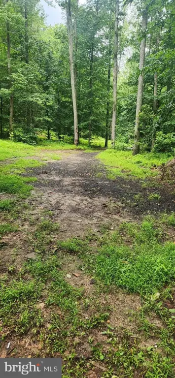
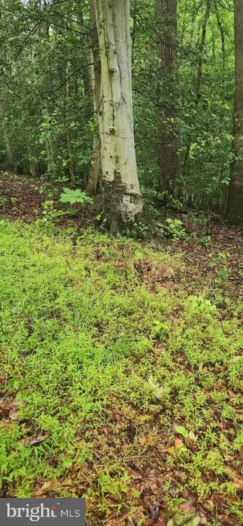
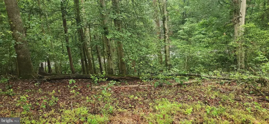
For buyers looking for buildable residential land within an Agricultural Conservation zoning framework, the recorded perc information is a practical planning tool for next steps. The documented soil locations can help guide development design and site layout, while the wooded character supports a more secluded, natural setting within Charles County.
The land benefits from adjacency to 8710 Poorhouse Road (MLS: MDCH2056560), a separate 10.6-acre listing that includes a Forest Conservation Easement. The property is described as maintaining a wooded, buffered feel while still connecting to nearby regional routes. Travel time references in the remarks place the parcel about 7 miles from the commercial area along Crain Highway (MD-301) in La Plata and about 10 miles from Indian Head Highway (MD-210).
For buyers looking for buildable residential land within an Agricultural Conservation zoning framework, the recorded perc information is a practical planning tool for next steps. The documented soil locations can help guide development design and site layout, while the wooded character supports a more secluded, natural setting within Charles County.
Key Highlights
- 3‑acre wooded parcel in historic Port Tobacco
- Zoned AC (Agricultural Conservation)
- Six (6) percs recorded in 2018, with locations mapped in the included “Perc Map.pdf”
Property Analytics
Unlock full access to Insights
Subscribe to Realmo Intelligence
Open Analytics
Current Use
Location Intelligence
Trade Area within ½ mile
5
Businesses Nearby
Explore this area
Business Placement
Demographics for 20677, MD
2,475
Population
781
Households
3.2
Avg Household Size
48
Median Age
37%
College-Educated
97%
High-School Grad
15.6 sq mi
ZIP Area
159
Density / Sq Mi
$150,956
Median Household Income
$80,313
Median Earnings
$525,400
Median Home Value
Check the figures for this property
Cap Rate, Value Estimation, Potential NOI and more
View Realmo Analytics

Questions? Ask Rey
Realmo’s AI knows this listing — price, zoning, demand, history. Ask anything.


Frequently Asked Questions
What type of property is this?
Residential land & home lot - 3-acre wooded parcel zoned Agricultural Conservation, with six recorded percs and mapped soil locations.
Where is this residential land & home lot located?
The property is located at POORHOUSE Road Port Tobacco, MD.
What is the asking price?
The asking price for this property is $175,000.
What are key features of this property?
This property features: 3‑acre wooded parcel in historic Port Tobacco; Zoned AC (Agricultural Conservation); Six (6) percs recorded in 2018, with locations mapped in the included “Perc Map.pdf”