Annexed Single-Family Estate
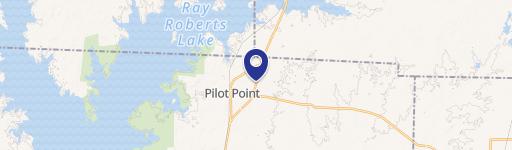
W Holford Pilot Point, TX 76258
W Holford, Pilot Point, TX, 76258
$775,000
For Sale
$775,000
LAND - Pilot Point, TX
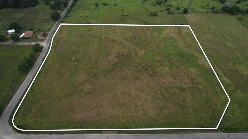
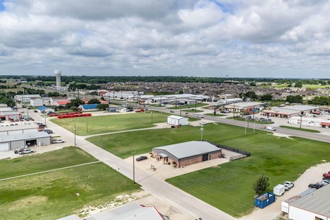
Lot Size9.45 Acres
Days on Market138
Property Features for W Holford
General Information
- Property type
- Land
- Property subtype
- Other
- Standard status
- Active
- APN
- R41303
- Lot size
- 9.45 Acres
Utilities
- Water source
- Public
Listing agency
Elevated Property Management LLC.
(469) 238-0310
Listed by
Aaron Prentice · License #0799512
(469) 238-0310
Added: Mar 6 Updated: Jun 6 at 8:49PM Checked: Jul 22 at 6:06AM
MLS# 21199380
Copyright © 2026 North Texas Real Estate Information Systems, Inc. All rights reserved. All information provided by the listing agent/broker is deemed reliable but is not guaranteed and should be independently verified.
Investment Insights
Based on property information with market context.
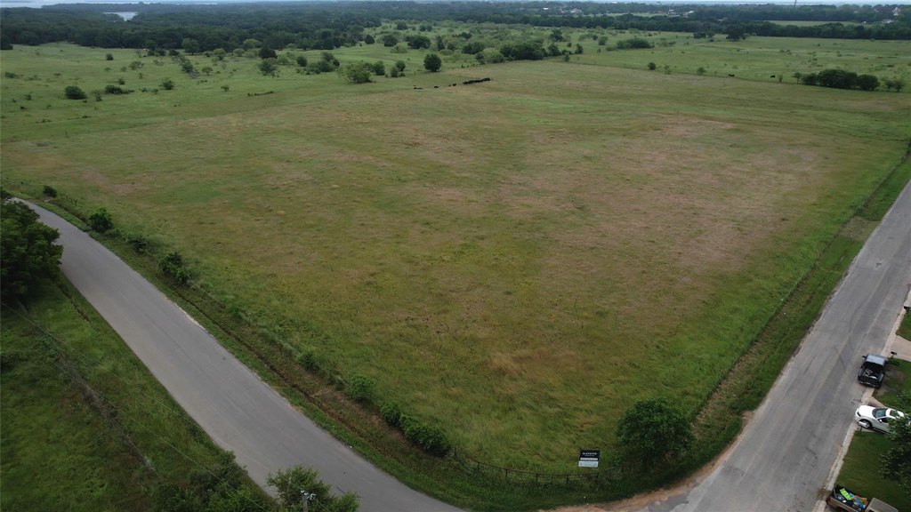
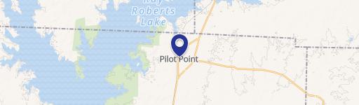
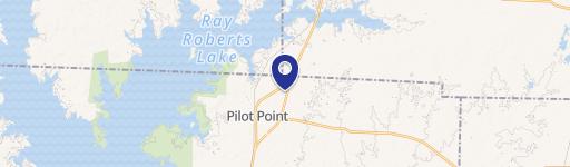
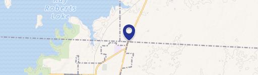
This 9.45-acre development tract is annexed and currently zoned SF-E (Single Family Estate Residential District), supporting the development of 1+ acre homesites. The site is positioned on a hard corner of Alexander Rd and Holford St, and roadways have already been dedicated. Utilities are accessible, which can streamline early development planning.
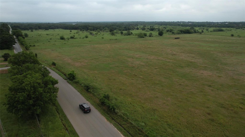
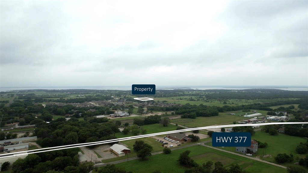
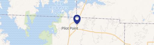
The property sits adjacent to the planned Lake Henzler Village development, providing a residential growth context for buyers and builders. Located just minutes from historic downtown Pilot Point, it offers convenient access to local shopping, dining, and entertainment while still offering a quieter, country feel. Recreational opportunities are also nearby, including Lake Ray Roberts and a planned marina expansion. Regional connectivity is supported by proximity to U.S. Highway 377 and the planned expansion of the Dallas North Tollway.
With its acreage, zoning, and development-ready groundwork, this tract is well suited to investors and residential developers seeking a longer-term play in an expanding area. The SF-E entitlement profile and accessible utilities make it an attractive option for building larger-lot homesites where demand for space and lifestyle amenities is often strongest.
Key Highlights
- 9.45‑acre tract on the hard corner of Alexander Rd and Holford St
- Annexed property currently zoned SF‑E (Single Family Estate Residential District)
- Zoning allows development of 1+ acre homesites
Property Analytics
Property Profile
Location Intelligence
Current Use by Public Records
Residential land & home ...
Similar For Sale Nearby


FAQs
What type of property is this?
Residential land & home lot - Annexed 9.45-acre tract zoned SF-E with dedicated roadways and utilities available for 1+ acre homesites.
Where is this residential land & home lot located?
The property is located at W Holford Pilot Point, TX.
What is the asking price?
The asking price for this property is $775,000.
What are key features of this property?
This property features: 9.45‑acre tract on the hard corner of Alexander Rd and Holford St; Annexed property currently zoned SF‑E (Single Family Estate Residential District); Zoning allows development of 1+ acre homesites


