16.72AC Joe Allen Road, Pilot Point, TX 76258
- Added:
- May 7, 2026
- Days on Market:
- 43
- Last Refresh:
- Jun 18 at 5:06 pm
Property Features for 16.72AC Joe Allen Road
General Information
- Property type
- Land
- Property subtype
- Other
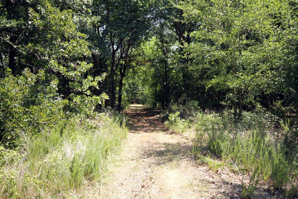
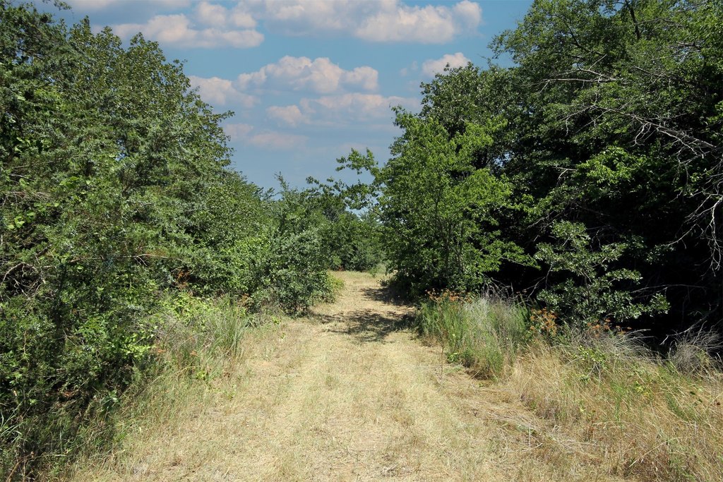
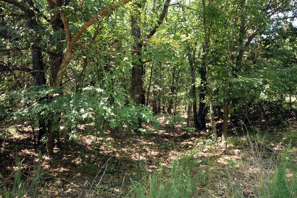
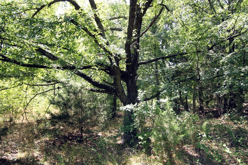
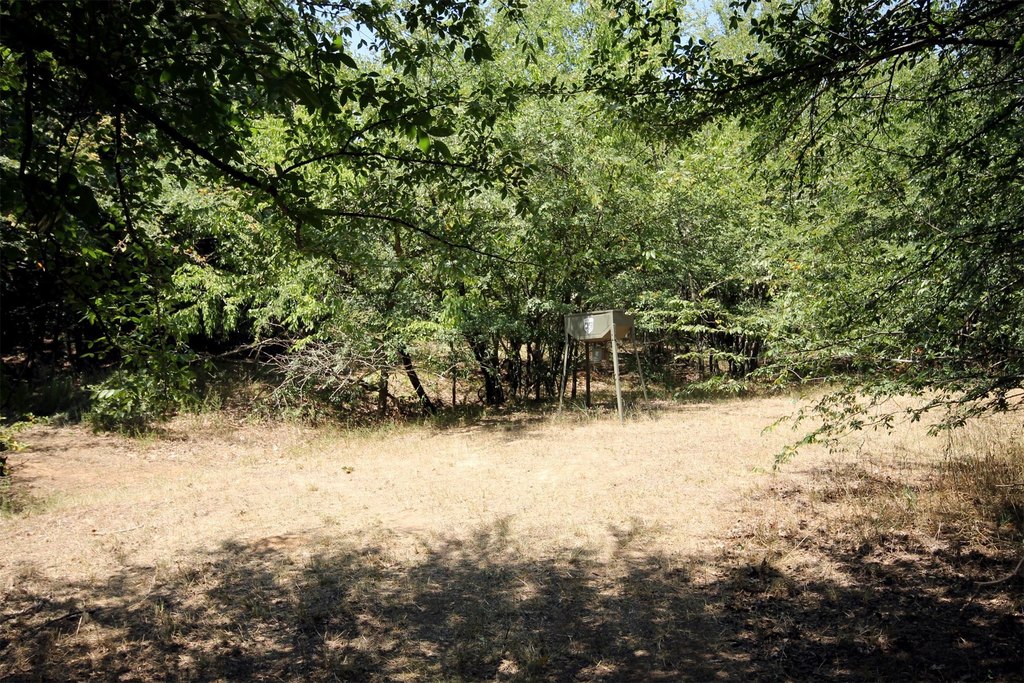
- Vegetation
- Wooded
- Standard status
- Active
- APN
- R42985
- Lot size
- 16.72 Acres
Taxes and HOA fees
- Tax Description
- I Walters Survey, Abstraxct 1329, Old DCAD Sh 12
Building Details
- Architectural style
- Other
Listing agent DUTCH WIEMEYER License #0453705 (940) 484-9411
Listing office KELLER WILLIAMS REALTY Denton, TX (940) 365-7600
Listing date May 7, 2026
Copyright © 2026 North Texas Real Estate Information Systems, Inc. All rights reserved. All information provided by the listing agent/broker is deemed reliable but is not guaranteed and should be independently verified.
HighLights
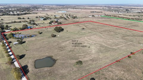
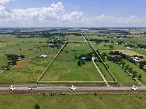
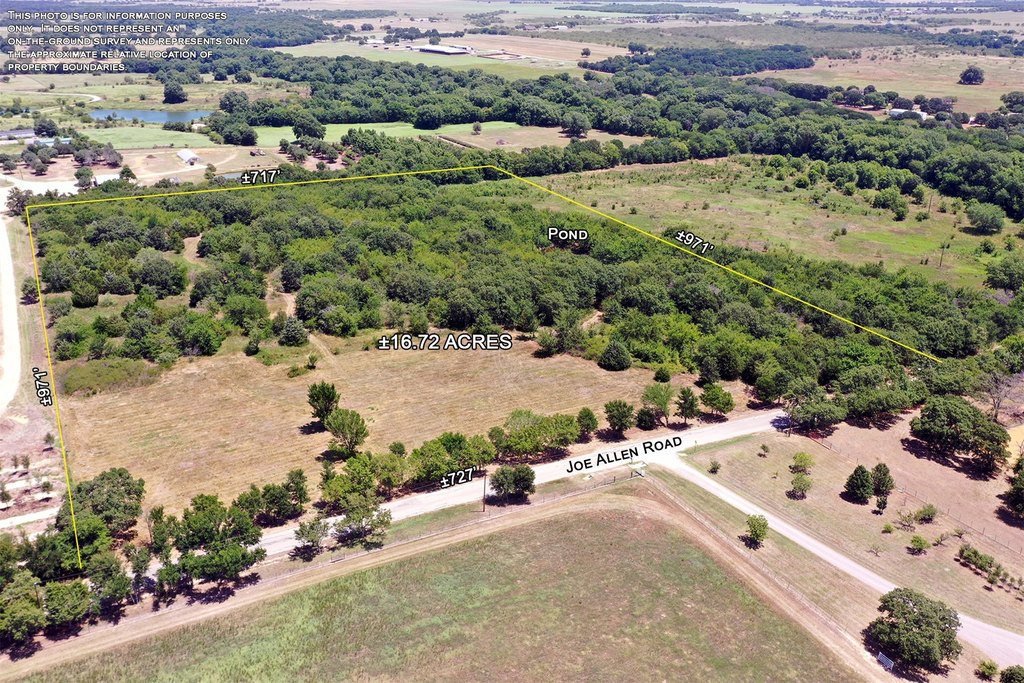
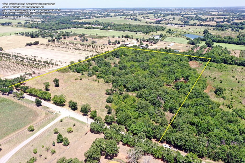
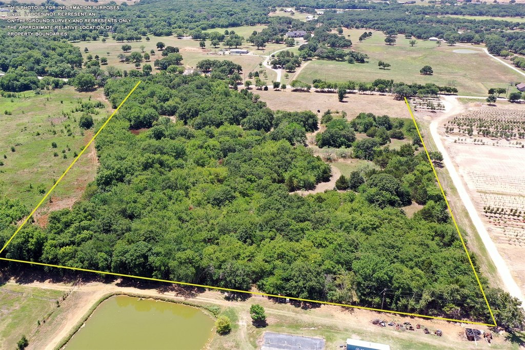
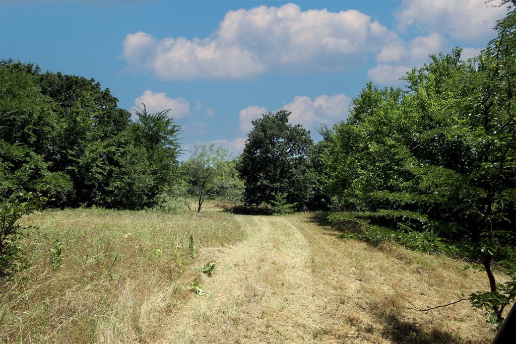
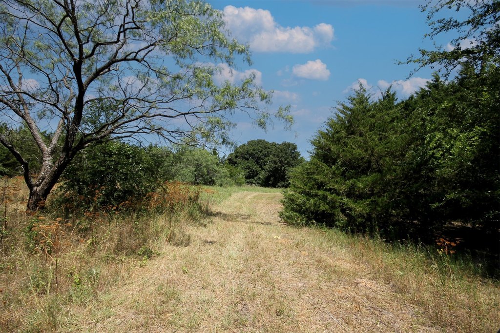
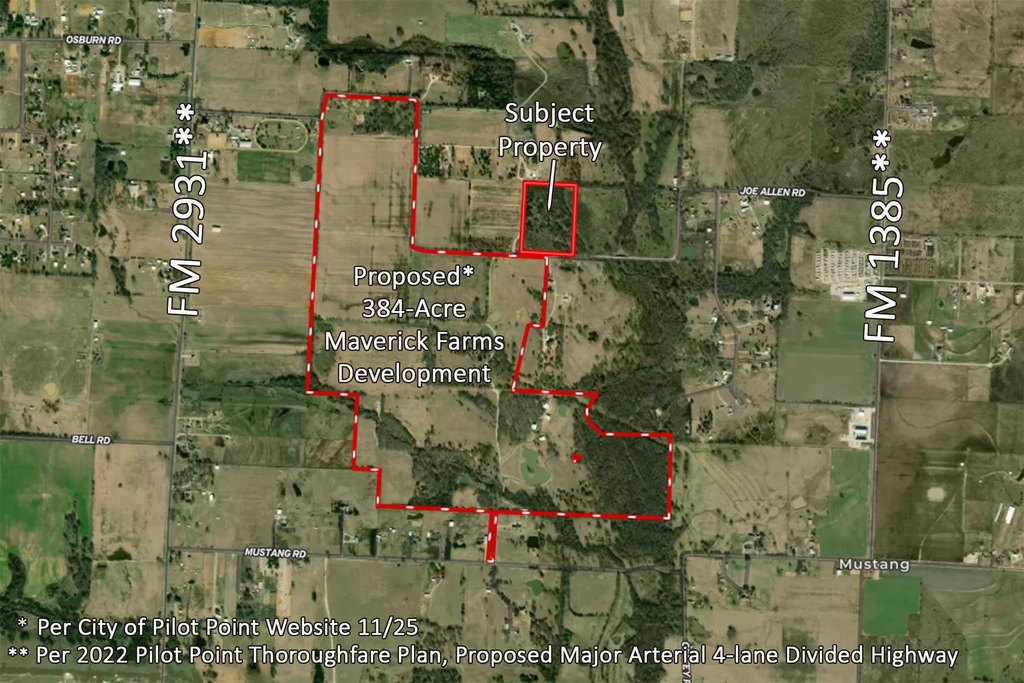
- 16.72‑acre tract with approx. 725 ft of paved road frontage on a paved county road between FM 1385 and FM 2931
- Sits outside the Pilot Point ETJ with no deed restrictions
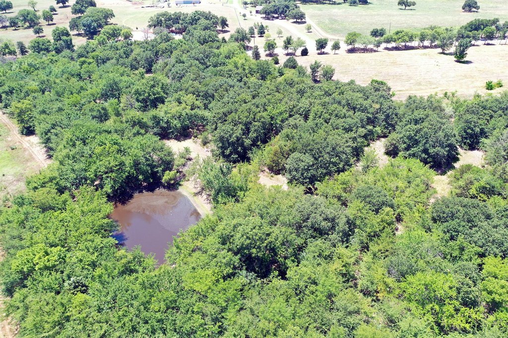
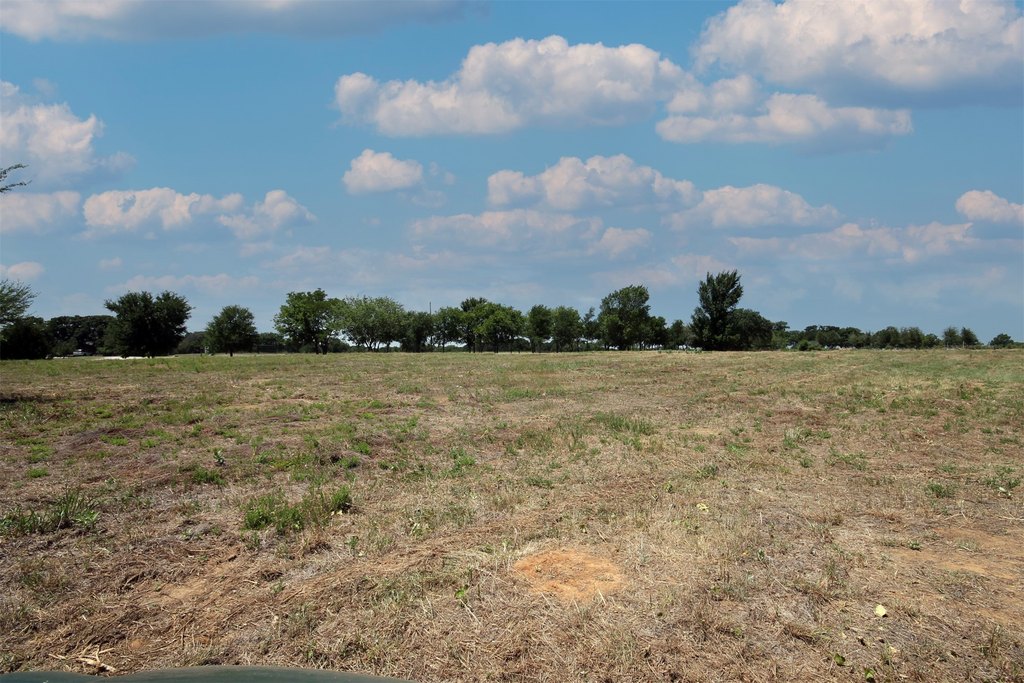
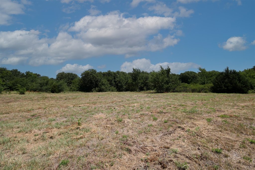
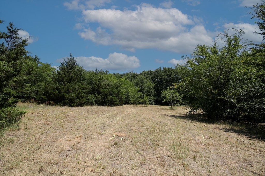
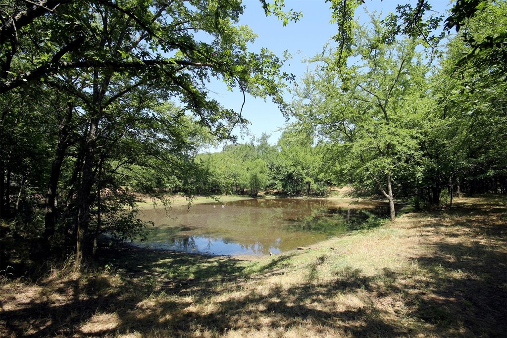
- Balanced mix of wooded areas and open pasture, plus a pond and sandy loam soil
- Access to Mustang Water and electricity at the road
- Existing wildlife property tax exemption
- Located approx. 9 miles north of Highway 380, directly across from the proposed 364‑acre Maverick Farms Development
Overview
The acreage fronts a paved county road with approximately 725 feet of road frontage, situated between two rapidly developing Farm-to-Market corridors. It is approximately 9 miles north of Highway 380. The tract is directly across from the proposed 364-acre Maverick Farms Development, adding further visibility to the area’s ongoing growth.
For buyers seeking a reasonably sized country tract in a high-growth pocket, this land offers a practical blend of natural appeal and planning flexibility. The combination of frontage, utility access at the road, and the absence of deed restrictions makes it well-matched for builders, investors, or operators looking for optionality—whether that’s creating a custom homesite environment, maintaining as an investment, or evaluating a future subdivision plan.
Current Use by Public Records
Map
- City
- Pilot Point
- County
- Denton
- State
- Texas
- Longitude
- -96.9181
- Latitude
- 33.3327