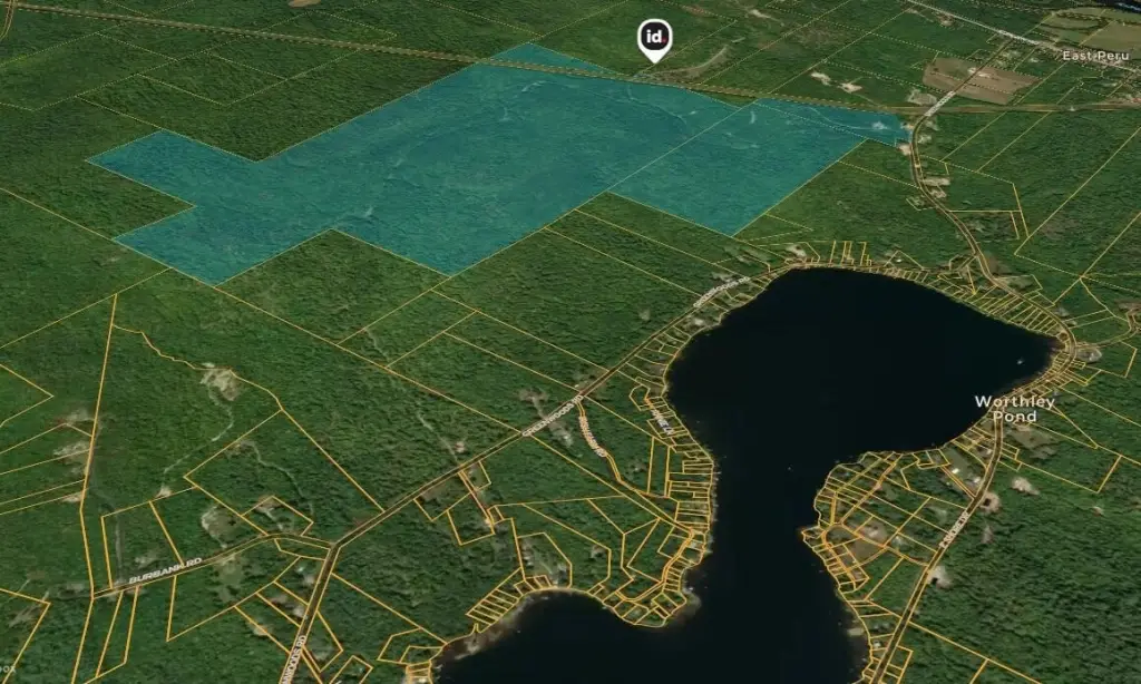
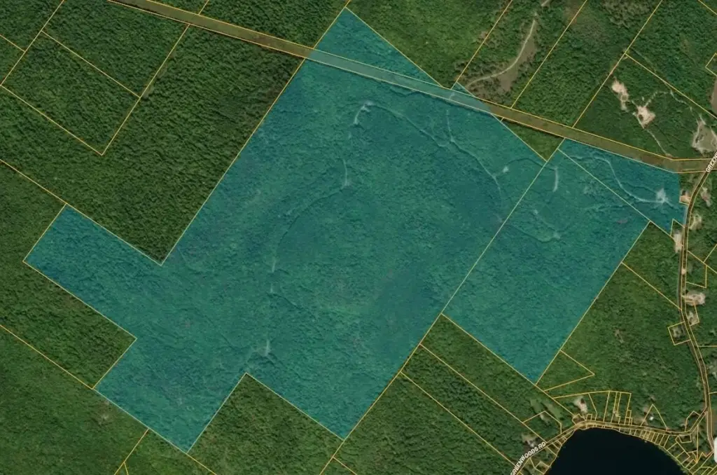
27/1B/5D Greenwoods Road, Peru, ME 04290
- Added:
- Jun 17, 2026
- Days on Market:
- 5
- Last Refresh:
- Jun 21 at 4:06 pm
Property Features for 27/1B/5D Greenwoods Road
General Information
- Property type
- Land
- Property subtype
- Other
- Zoning
- Res/Com
- Pets allowed
- No
- Standard status
- Active
- Lot size
- 560.00 Acres
Taxes and HOA fees
- Tax Year
- 2025
- Tax Annual Amount
- 2348
Listing agent Anthony Deiulio (207) 357-2813
Listing office Deiulio Realty Group Inc. PO Box 1162, Bethel, ME (207) 357-2813
Listing date Jun 17, 2026
Copyright © 2026 Maine Listings. All rights reserved. All information provided by the listing agent/broker is deemed reliable but is not guaranteed and should be independently verified.
HighLights
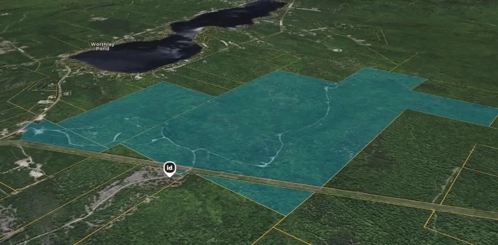
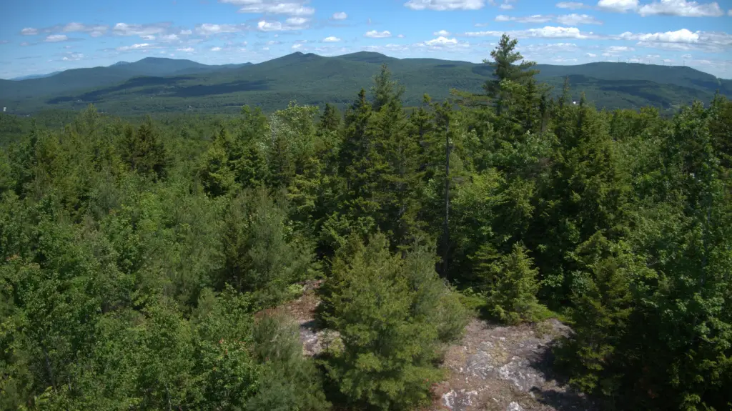
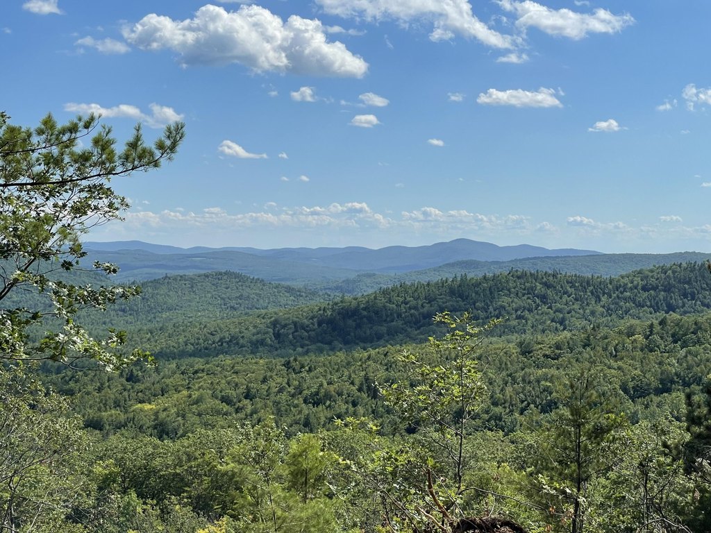
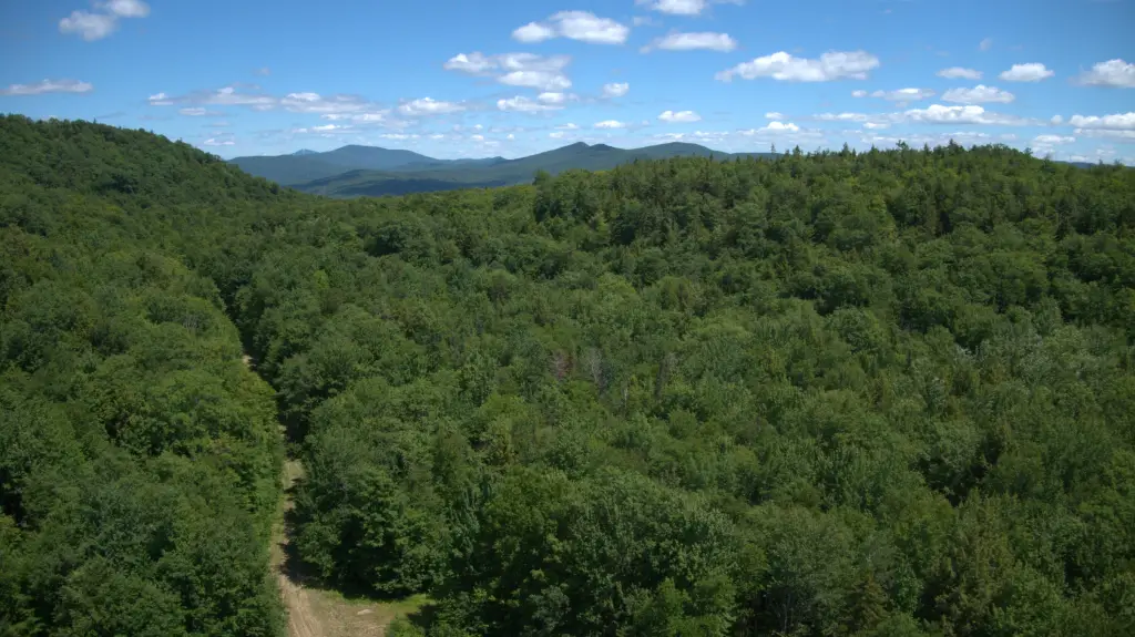
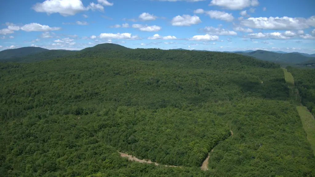
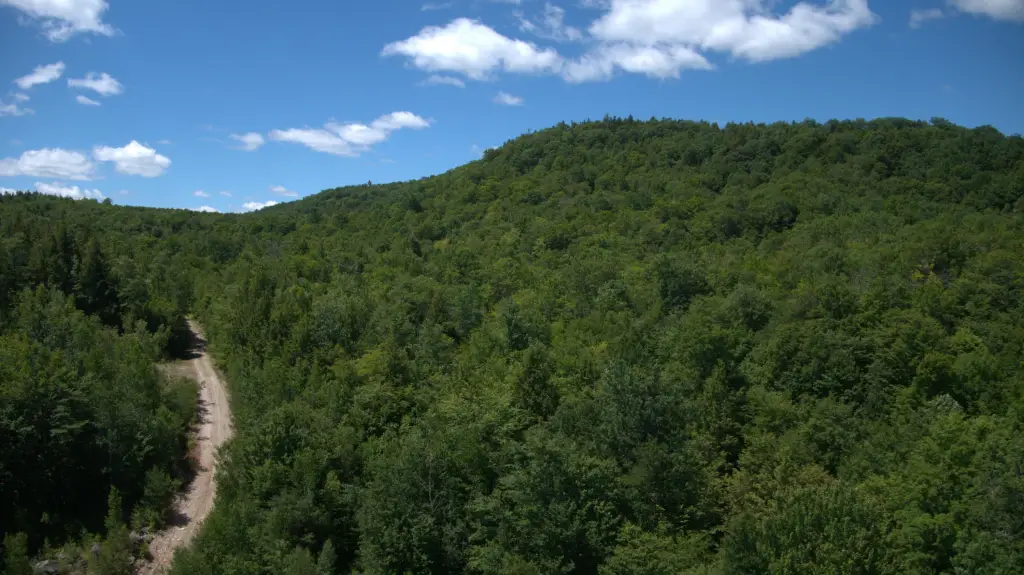
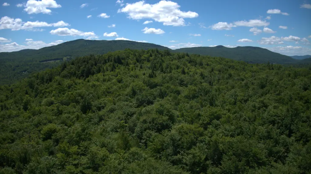
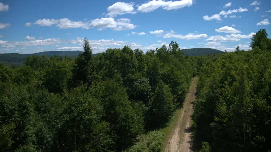
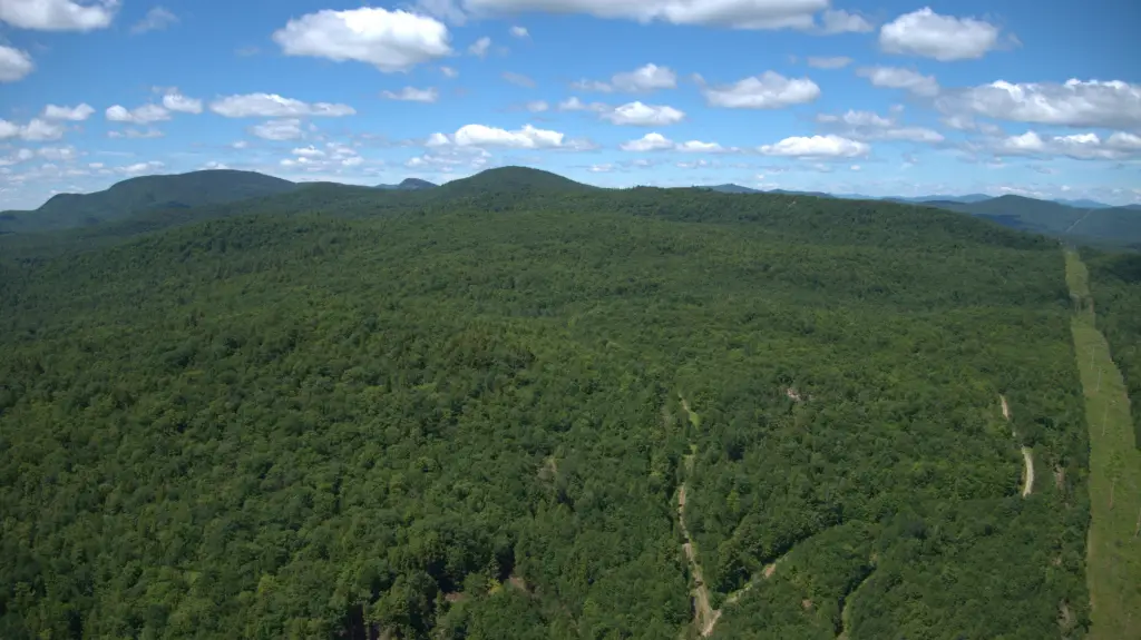
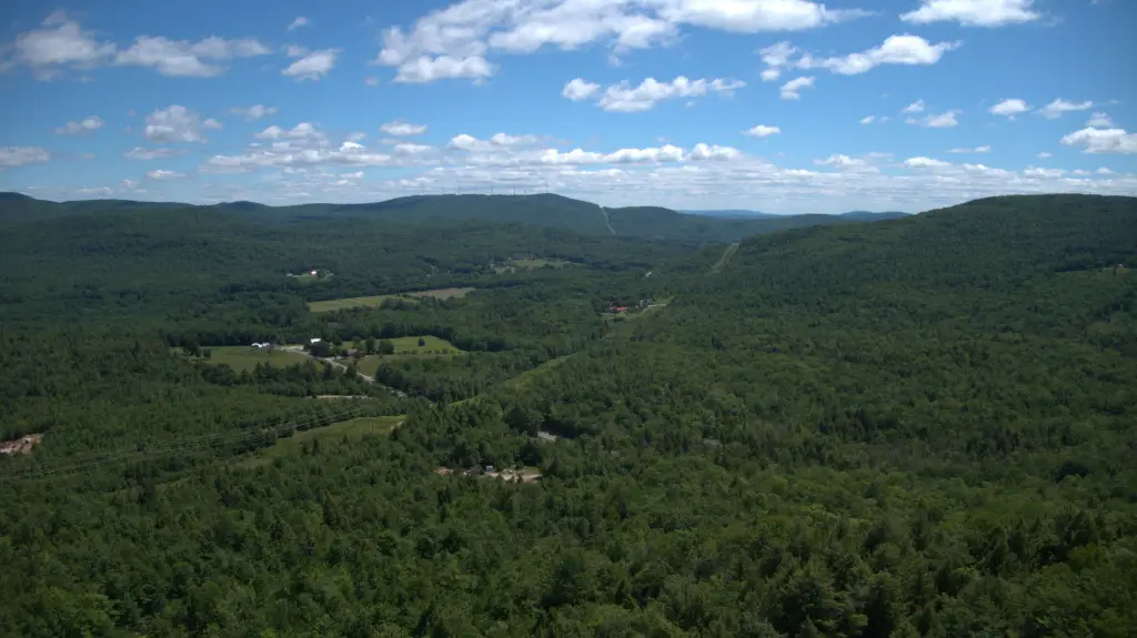
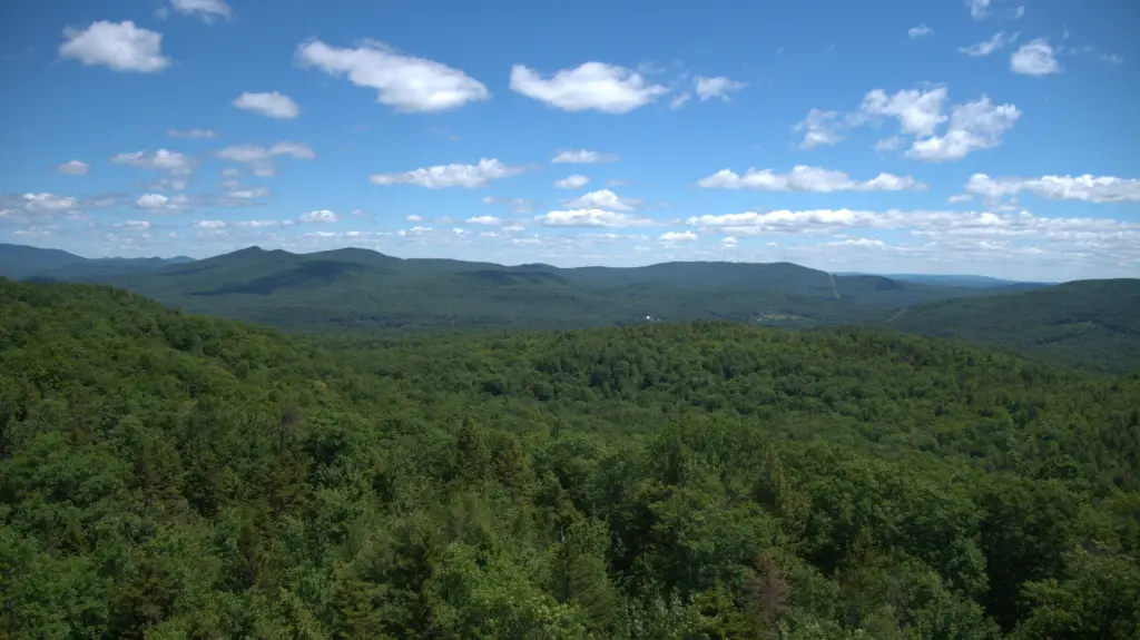
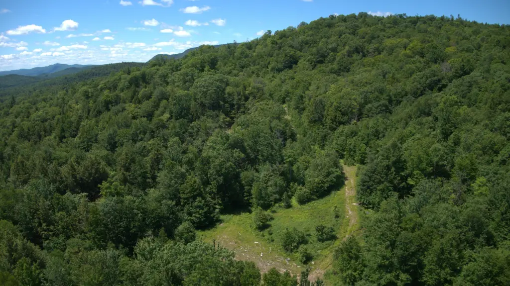
- 560± acres of private Maine wilderness with a full GPS boundary survey covering three separate mountain tops
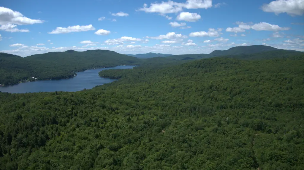
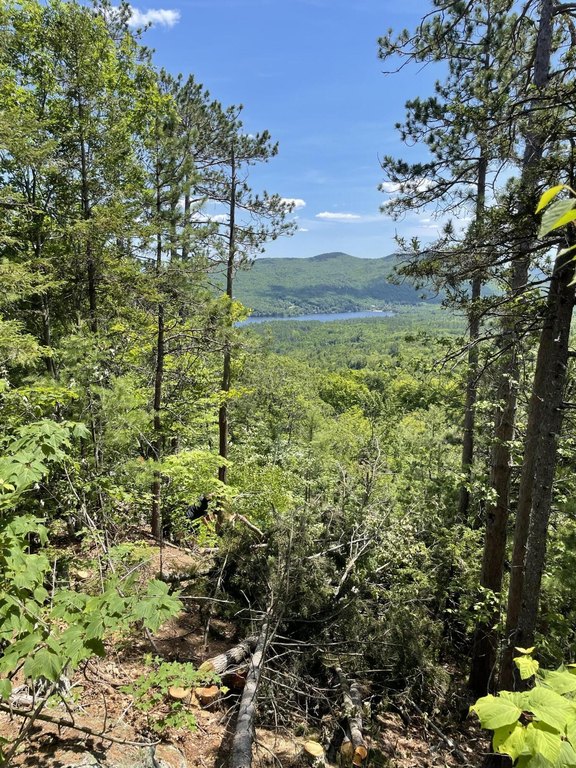
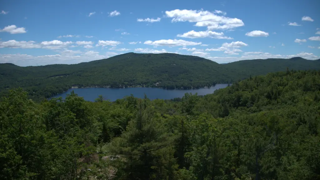
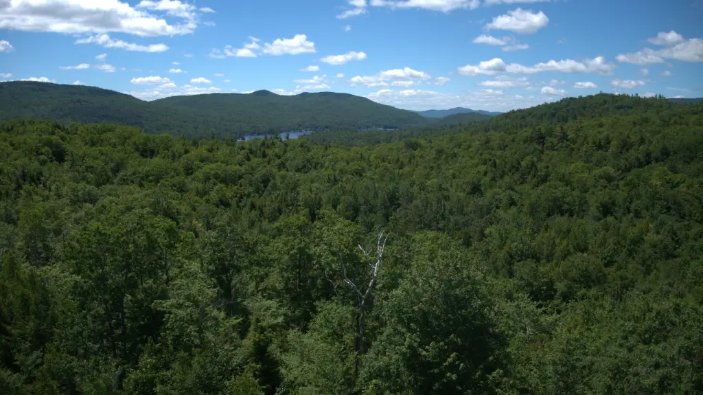
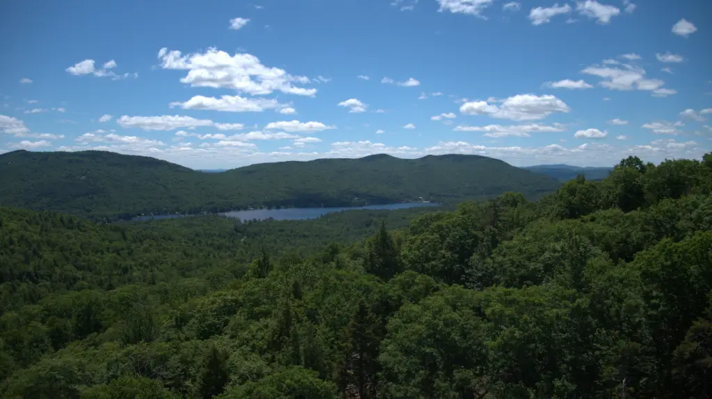
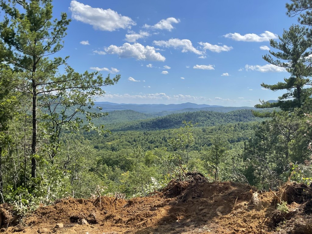
- Nearly 1,300 ft elevation at one of the highest peaks, with views of Worthley Pond and surrounding mountain ranges
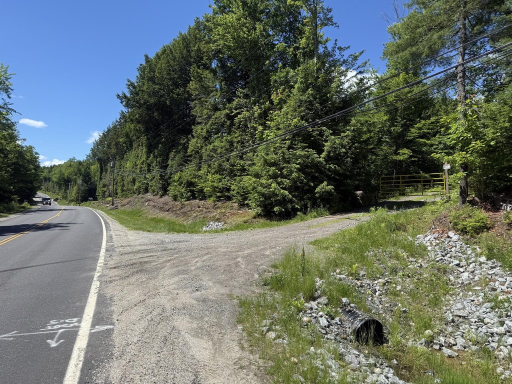
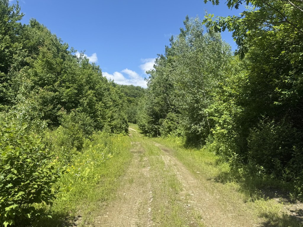
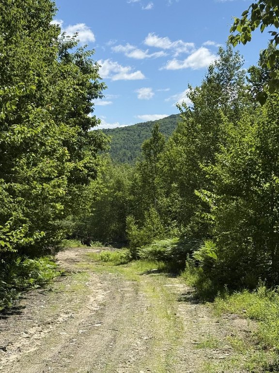
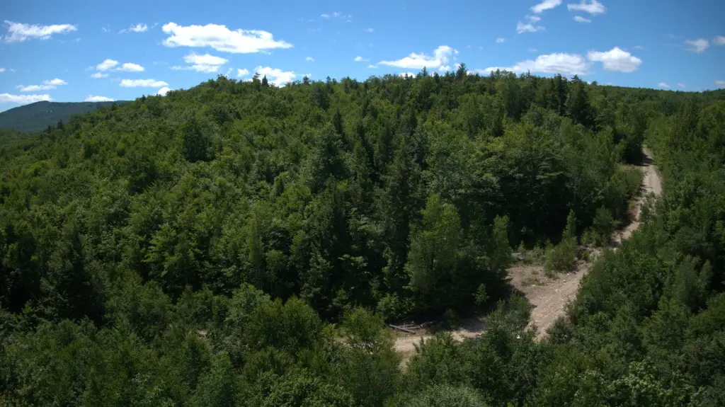
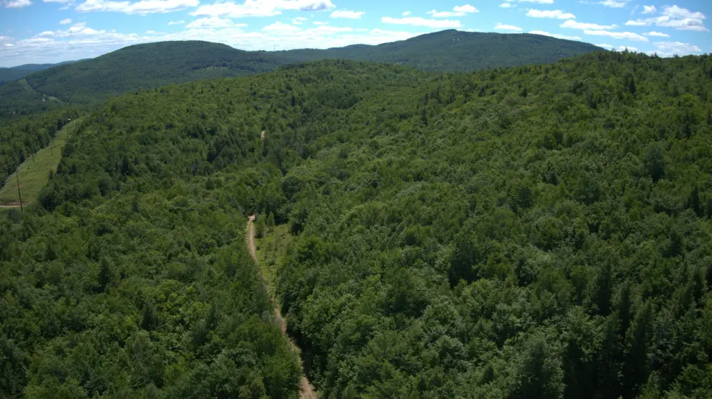
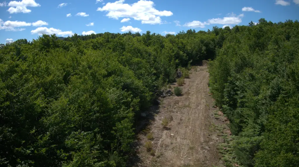
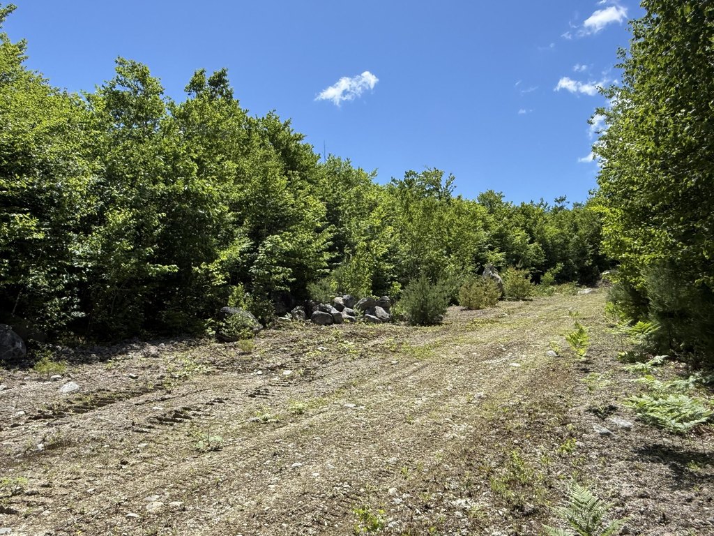
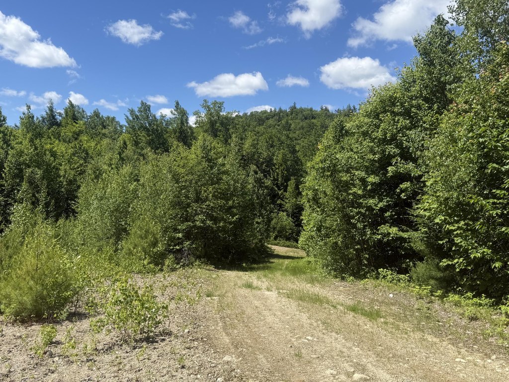
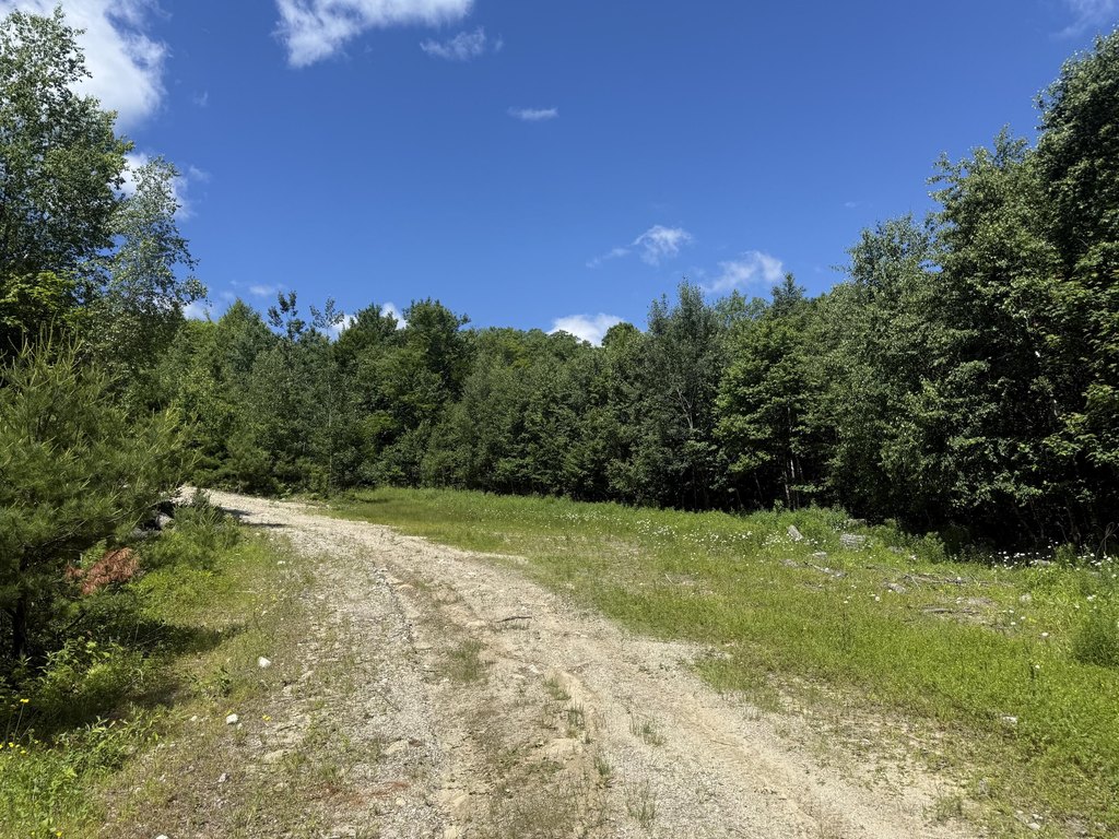
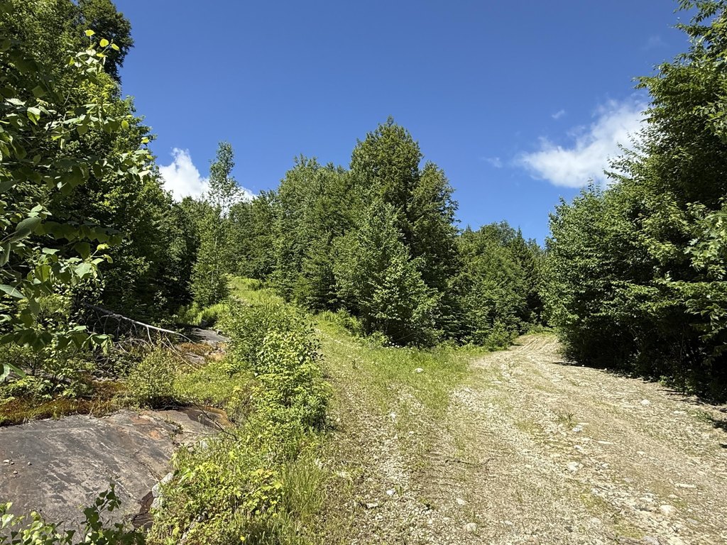
- Over 3 miles of established dirt roads for vehicle, ATV, or side‑by‑side access across much of the property
- Nearly 1 mile from Worthley Pond for boating, fishing, kayaking, and swimming access
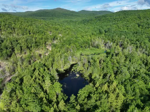
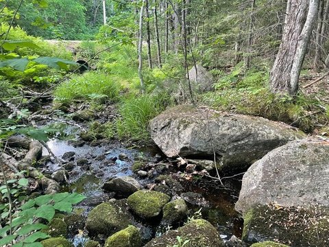
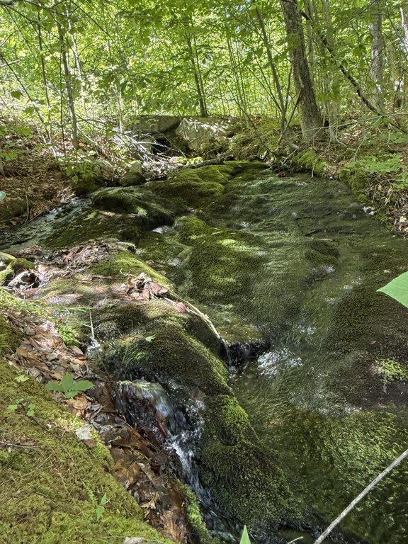
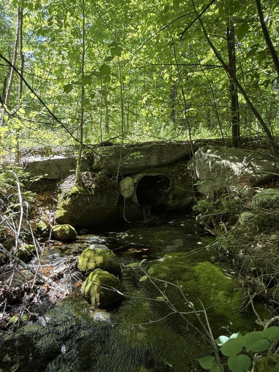
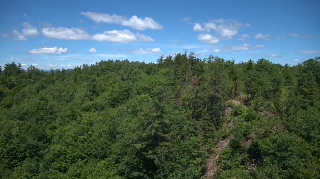
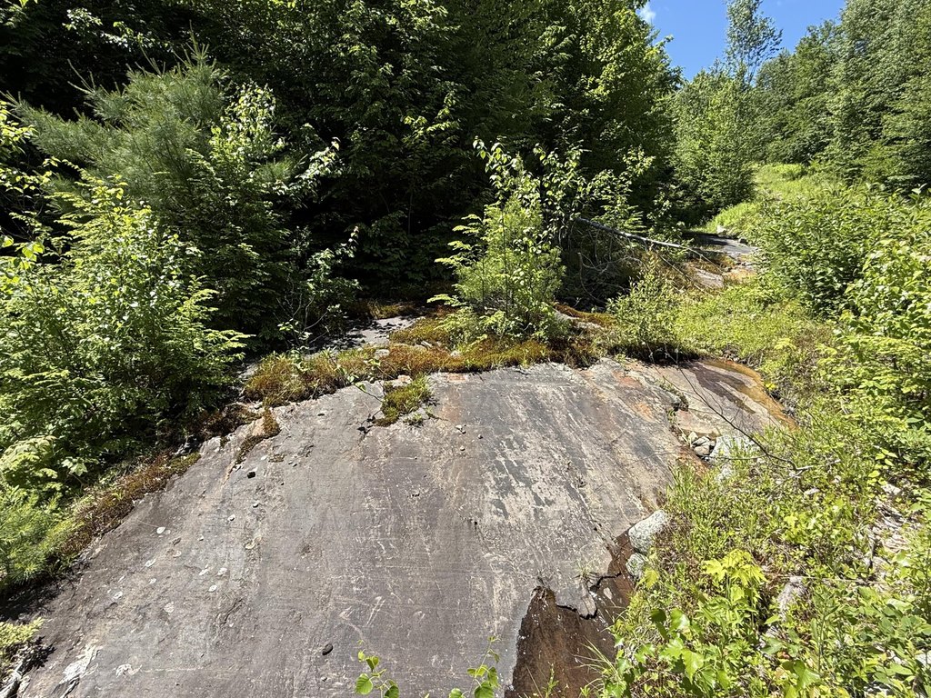
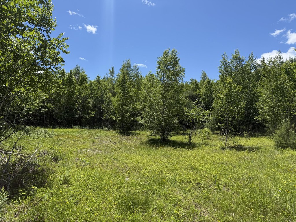
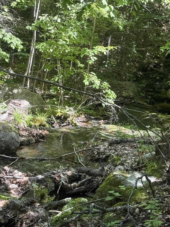
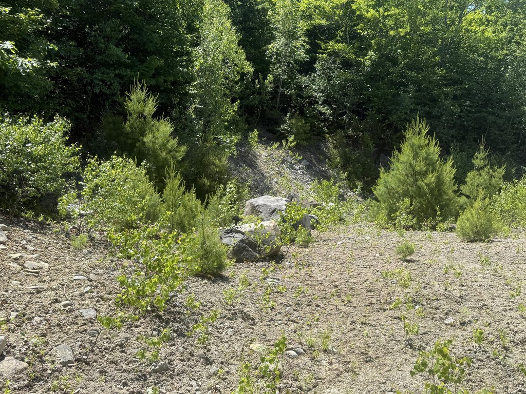
- Natural terrain includes mountain ridges, exposed ledge outcroppings, gravelly areas, hardwood timber stands, and small brooks
- Income history from responsible timber harvesting; forest regenerates naturally
Overview
The land is located approximately one mile from Worthley Pond, offering convenient access to boating, fishing, kayaking, and swimming while maintaining a secluded setting. Terrain features described include mountain ridges, exposed ledge outcroppings, gravelly areas, hardwood timber stands, small brooks, and rolling woodland.
The property may be a fit for buyers seeking recreational use and privacy, or for those interested in developing an off-grid cabin or other retreat setting. The remarks also note that power is located at the entrance, which may support planning for on-grid uses. There is an existing history of timber harvesting, and the forest is described as naturally regenerating, aligning with buyers looking to own land that can support ongoing recreational enjoyment and stewardship.
Current Use by Public Records
Map
- City
- Peru
- County
- Oxford
- State
- Maine
- Longitude
- -70.390603
- Latitude
- 44.48227