Parcel 2 & 4A Continental Divide RD, Cameron, MT 59720
- Added:
- Jun 3, 2026
- Days on Market:
- 25
- Last Refresh:
- Jun 27 at 8:06 pm
Property Features for Parcel 2 & 4A Continental Divide RD
General Information
- Property type
- Land
- Property subtype
- Other
- Standard status
- Active
- APN
- 0027035102
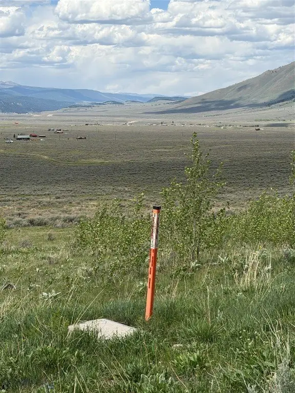
- Lot size
- 39.76 Acres
Taxes and HOA fees
- Tax Year
- 2025
- Tax Description
- S14, T12 S, R02 E, C.O.S. 7/2618, PARCEL 4A, ACRES 19.88 AND S14, T12 S, R02 E, C.O.S. 7/478, PARCEL 2, ACRES 19.882- FINAL TBD by Title Company
- Tax Annual Amount
- 70

Listing agent Dot Merrill License #BRO-62146 (406) 570-9067
Listing office Keller Williams Western MT 105 E Main Street, Missoula, MT (406) 926-3434
Listing date Jun 3, 2026
Copyright © 2026 Big Sky Country MLS. All rights reserved. All information provided by the listing agent/broker is deemed reliable but is not guaranteed and should be independently verified.
HighLights
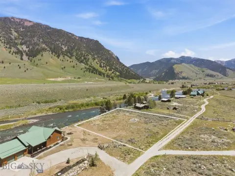
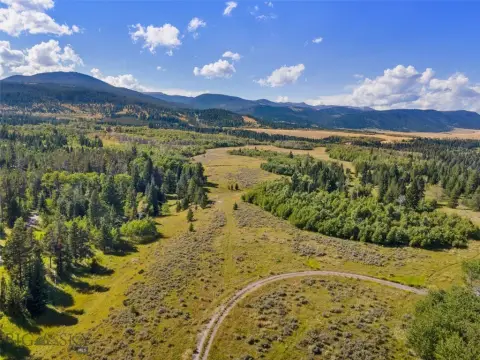
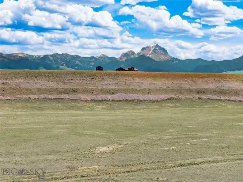
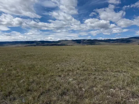
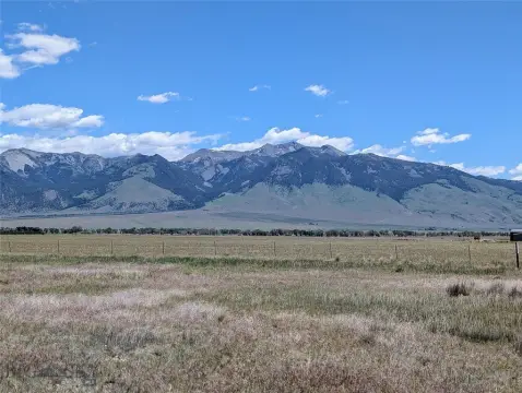
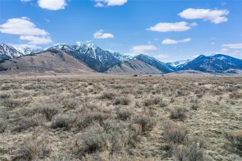
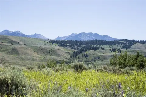
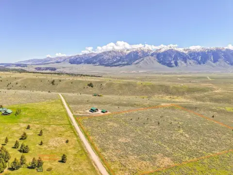
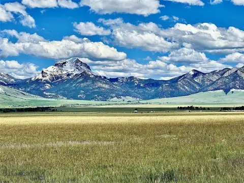
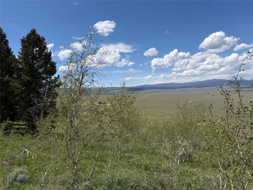
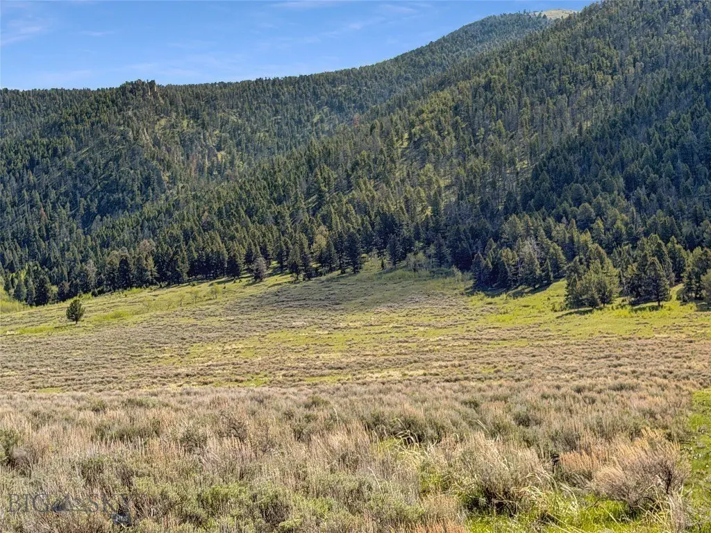
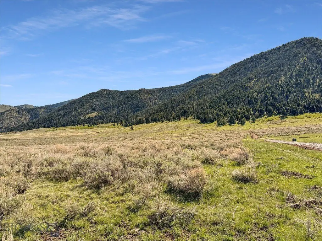
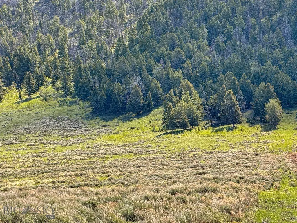
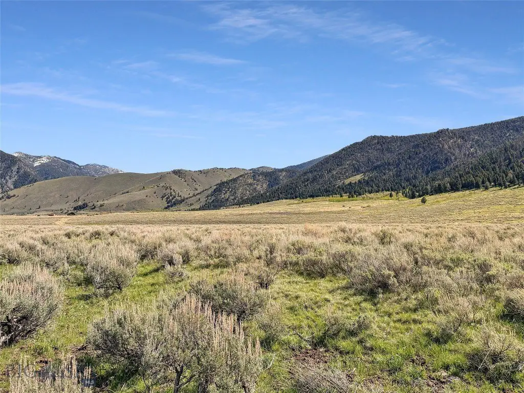
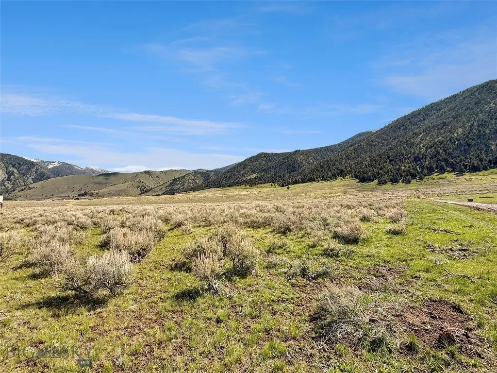
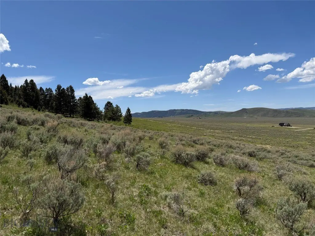
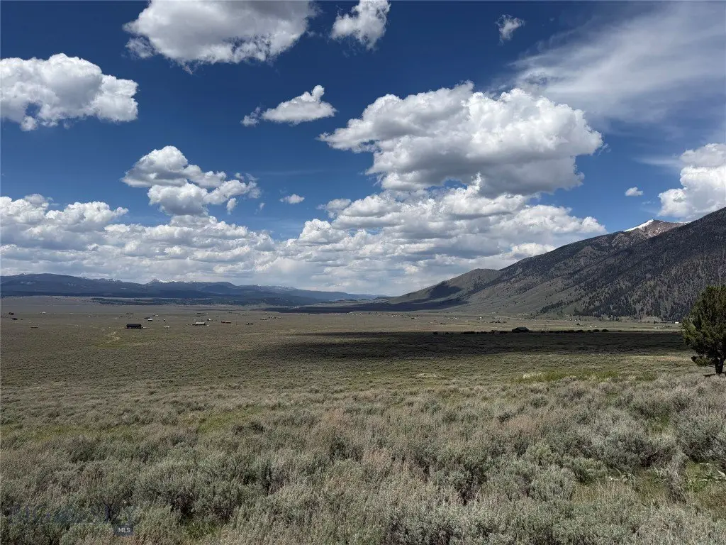
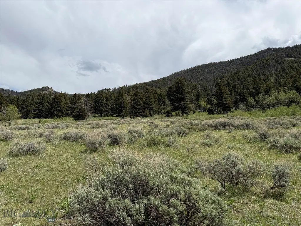
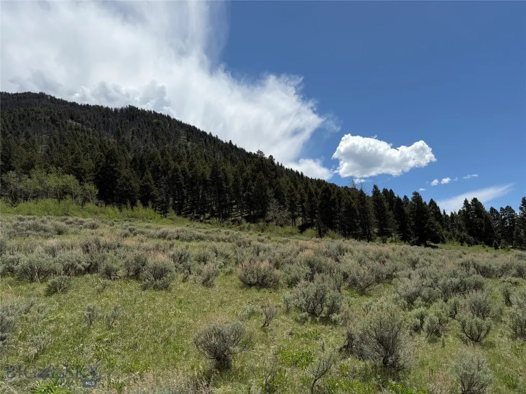
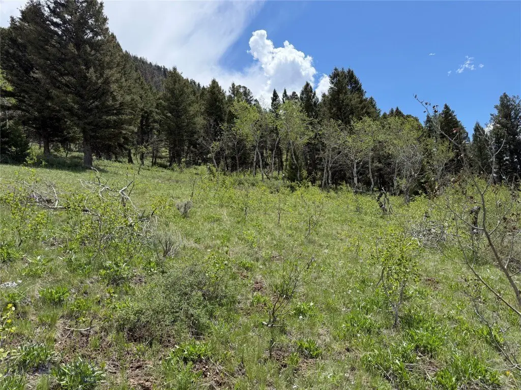
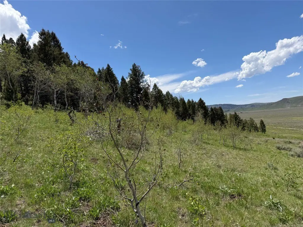
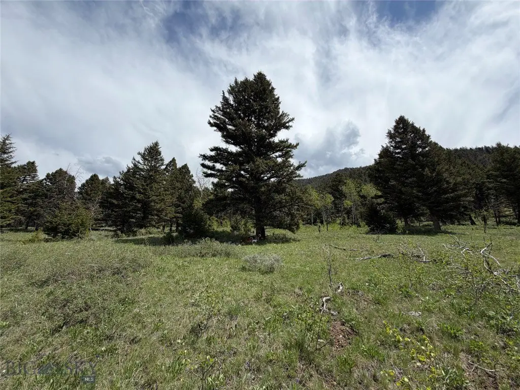
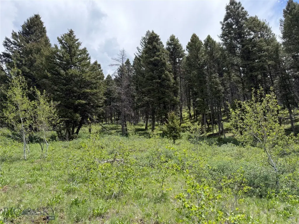
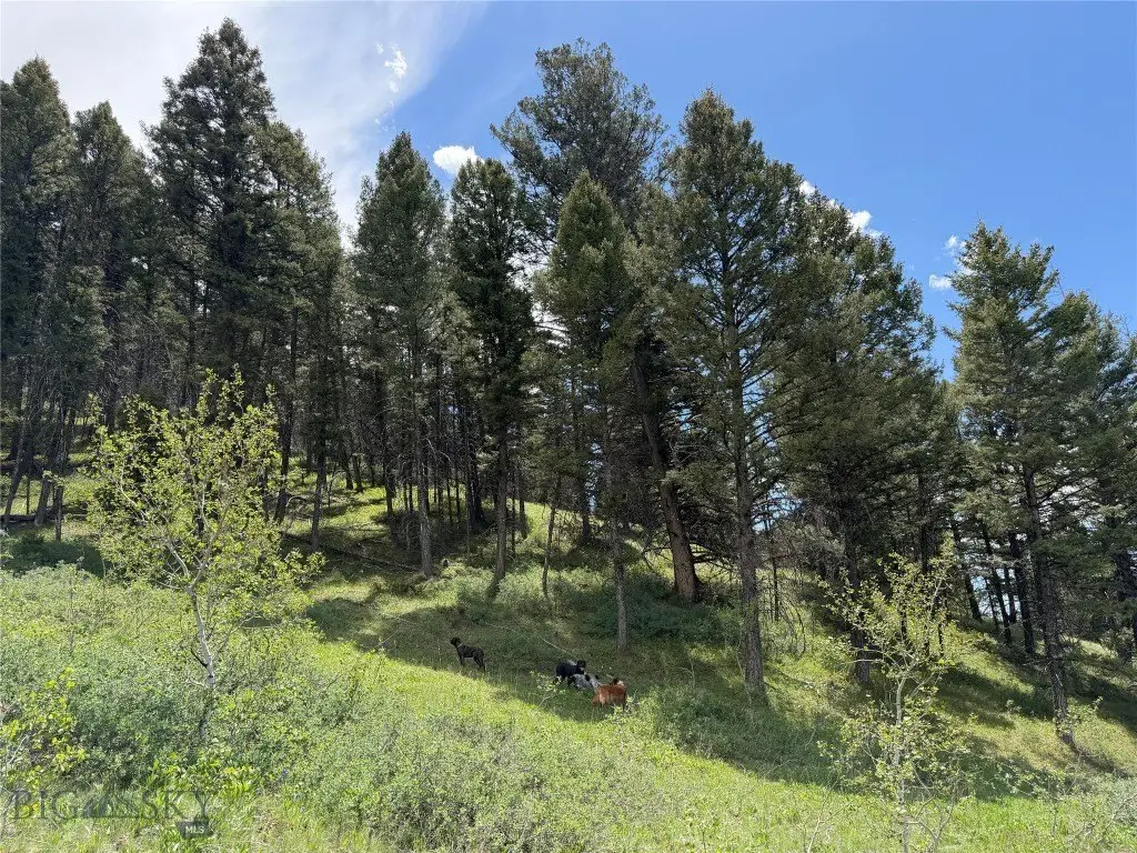
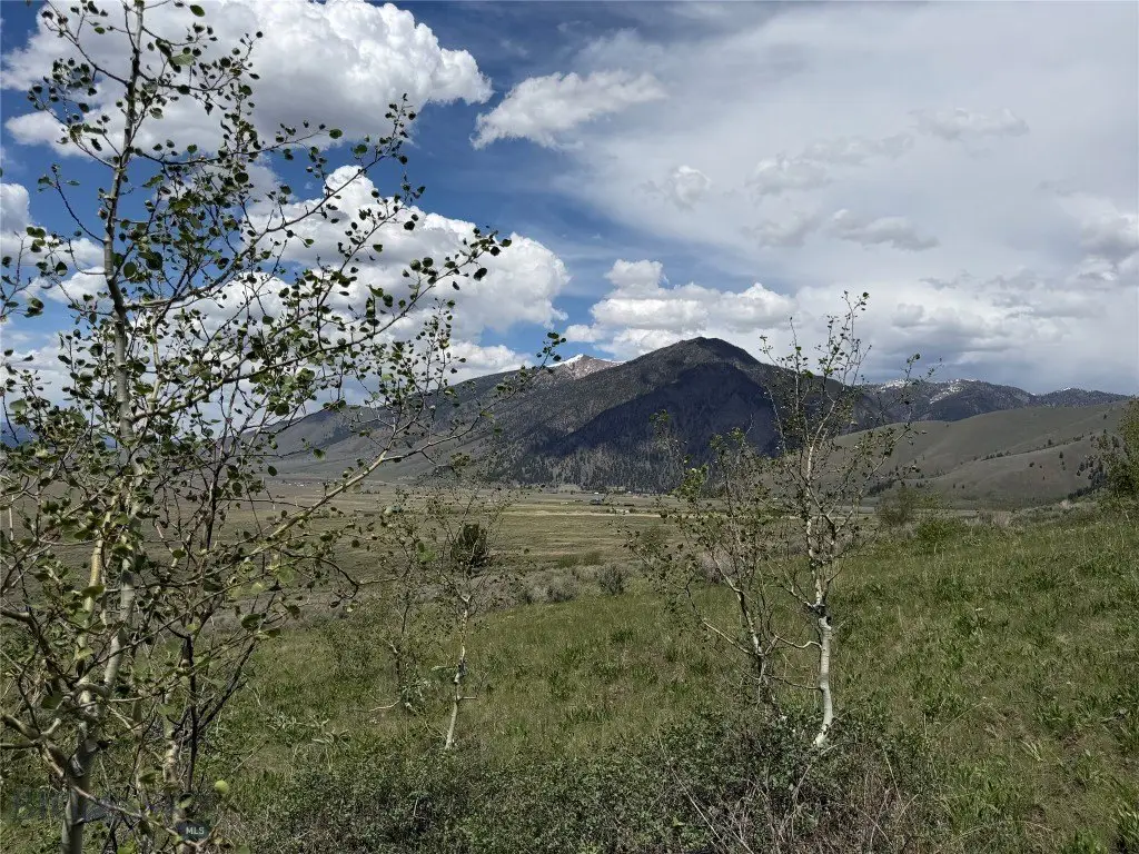
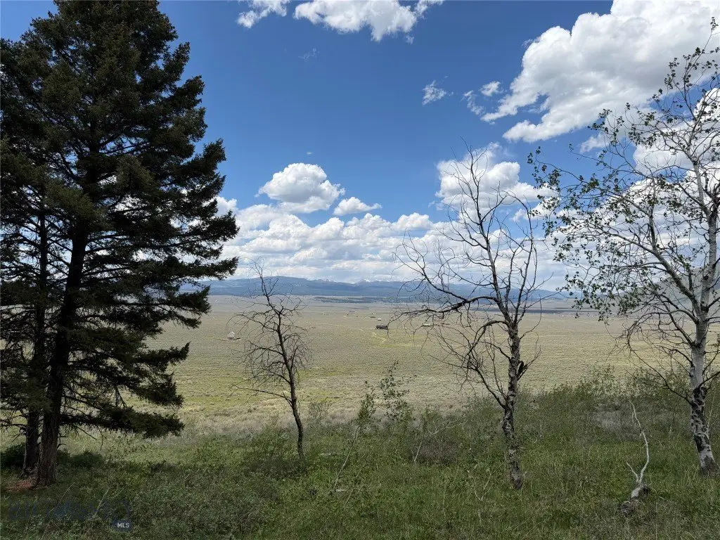
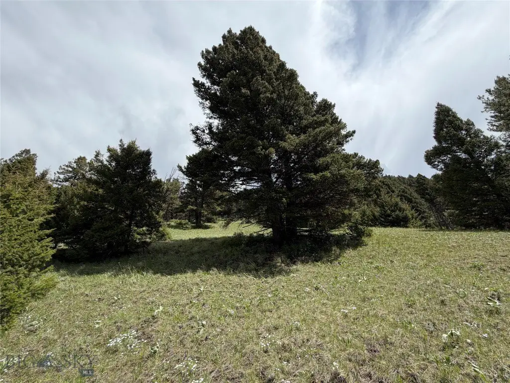
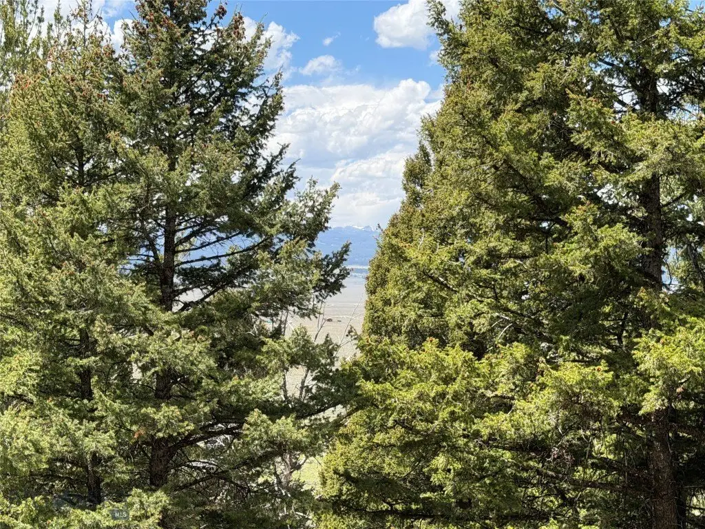
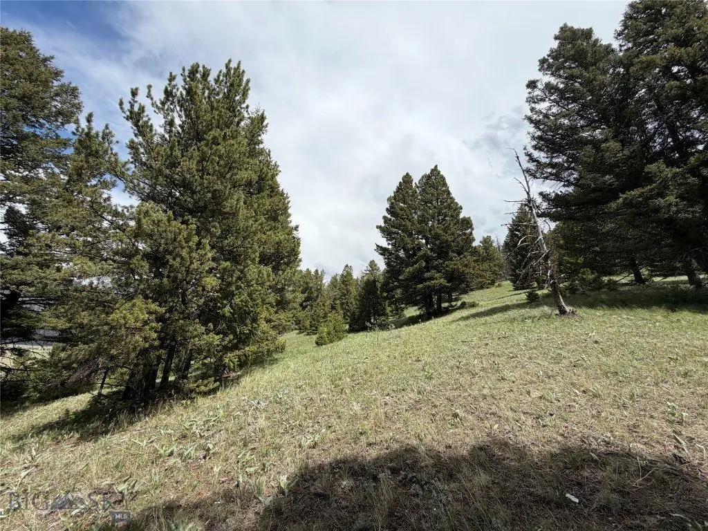
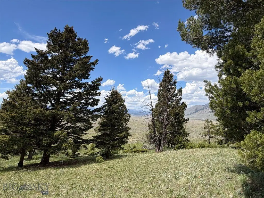
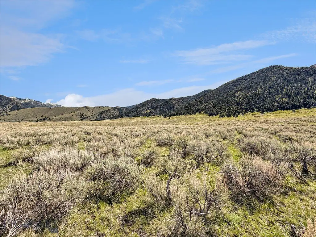
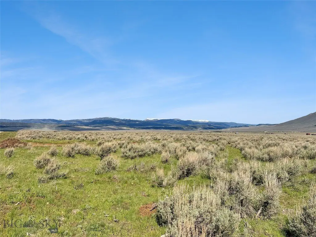
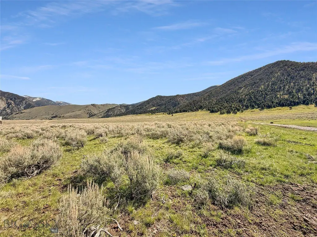
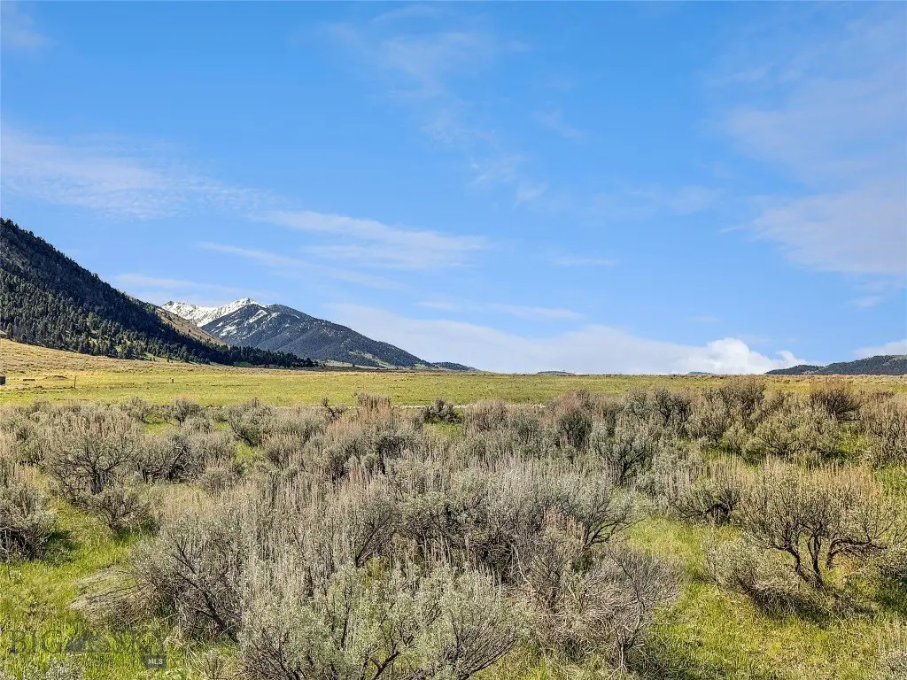
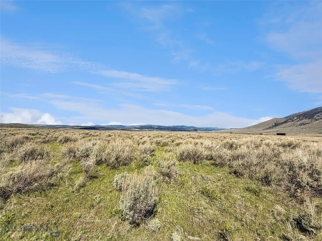
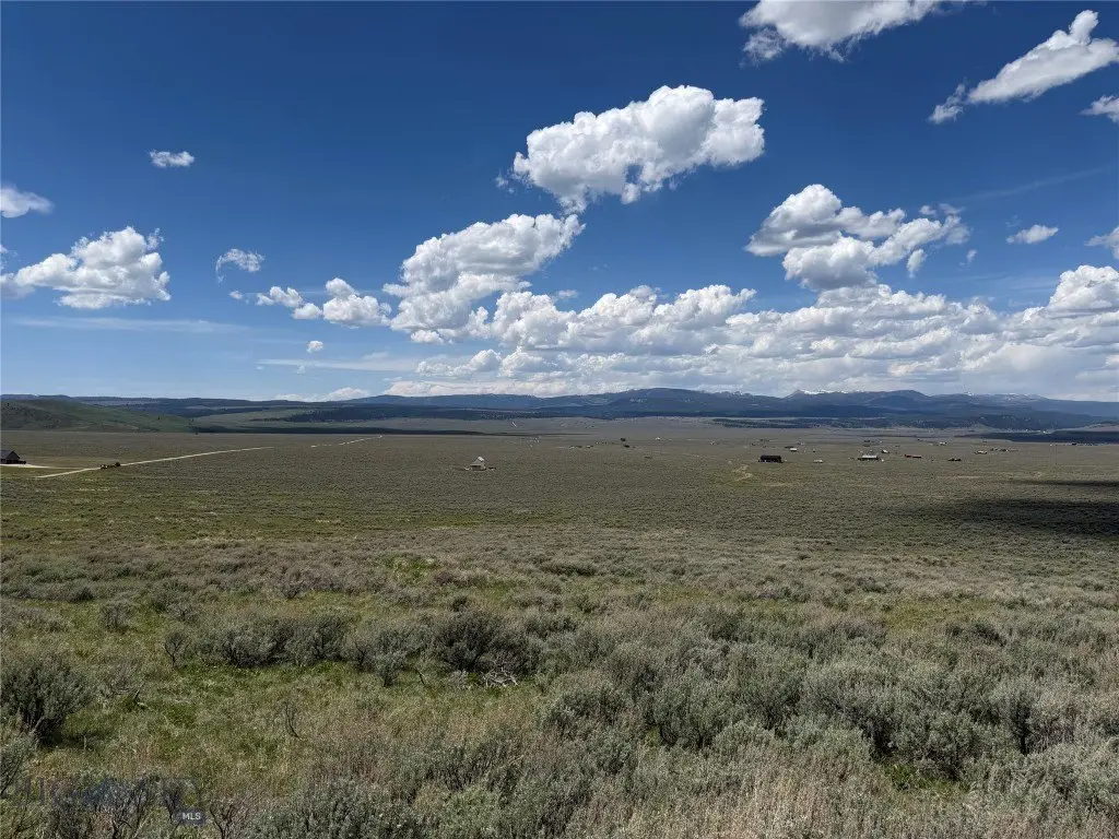
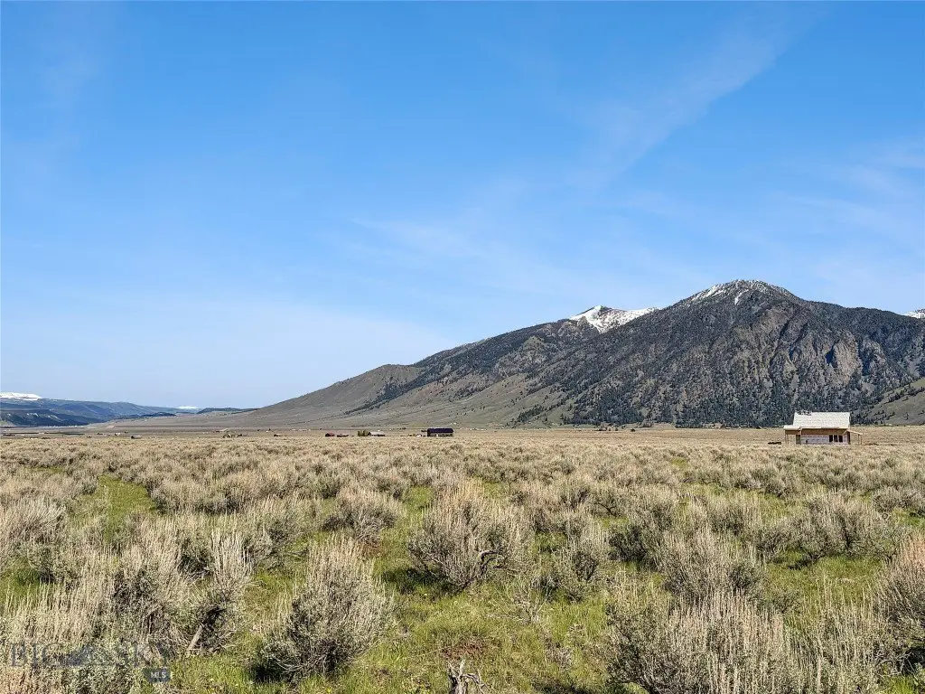
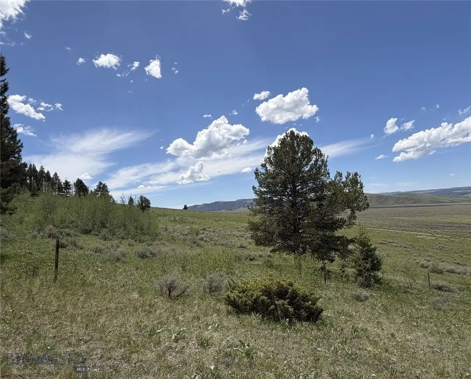
- 39+ acre parcel at the south end of the Madison Valley in southwest Montana
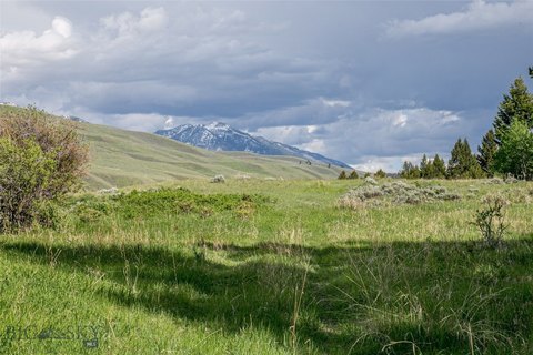
- Borders U.S. Forest Service land with direct access to thousands of acres of public land
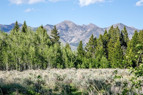
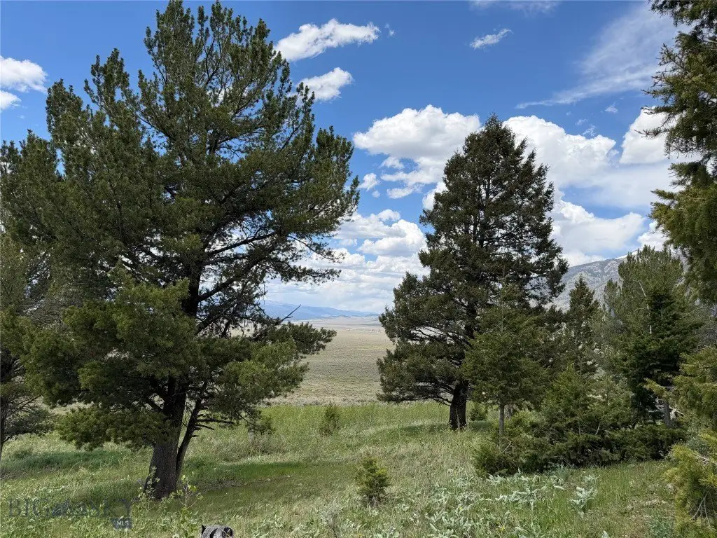
- Beautiful mix of open meadows, mature fir trees, and aspen groves
- Underground power is available at the property edge
- Fiber optic internet is available for modern connectivity
- Just minutes from the Madison River and nearby mountain lakes for fly fishing, boating, and wildlife viewing
Overview
The property is described as being located at the south end of the Madison Valley. Nearby outdoor recreation is emphasized, including access to the Madison River within minutes, as well as mountain lakes in the surrounding area. The combination of private acreage and adjacency to public land supports year-round activities such as hiking, horseback riding, hunting, and general recreation.
For buyers seeking a place to build, this parcel is well suited to a primary residence or a mountain retreat where privacy and outdoor access are core priorities. For recreation-focused buyers, the bordering U.S. Forest Service land provides a practical pathway to larger networks of public land for hunting and other seasonal uses. Utilities are noted at the property edge, which can help streamline planning for a future build while keeping the setting remote.
Current Use by Public Records
Map
- City
- Cameron
- County
- Madison
- State
- Montana
- Longitude
- -111.440185
- Latitude
- 44.792951