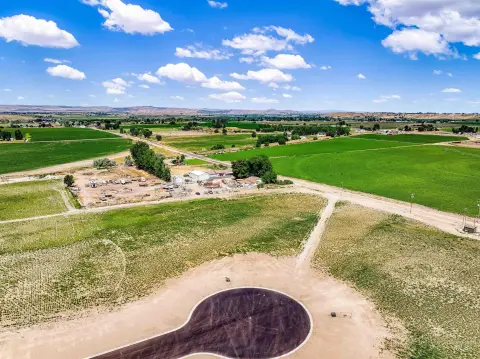
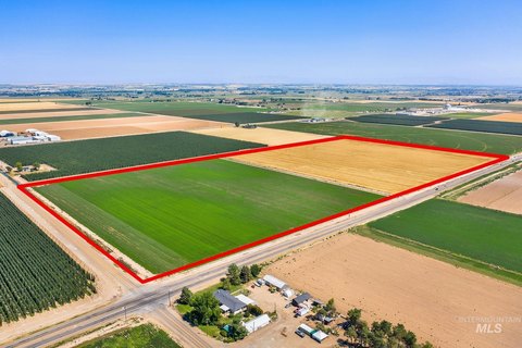
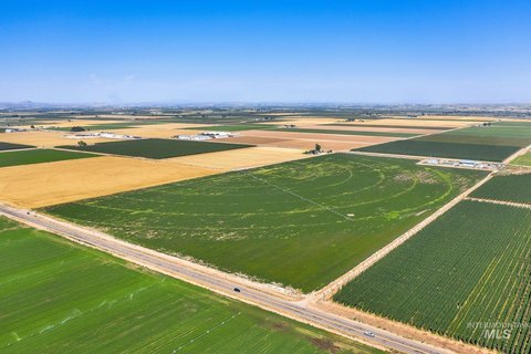
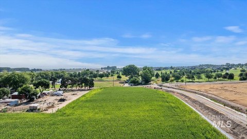
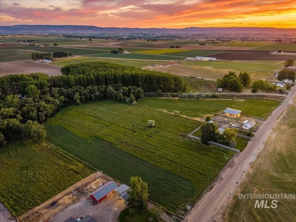
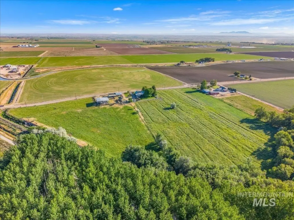
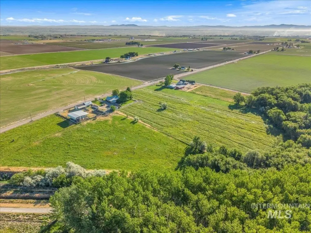
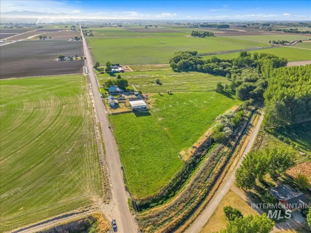
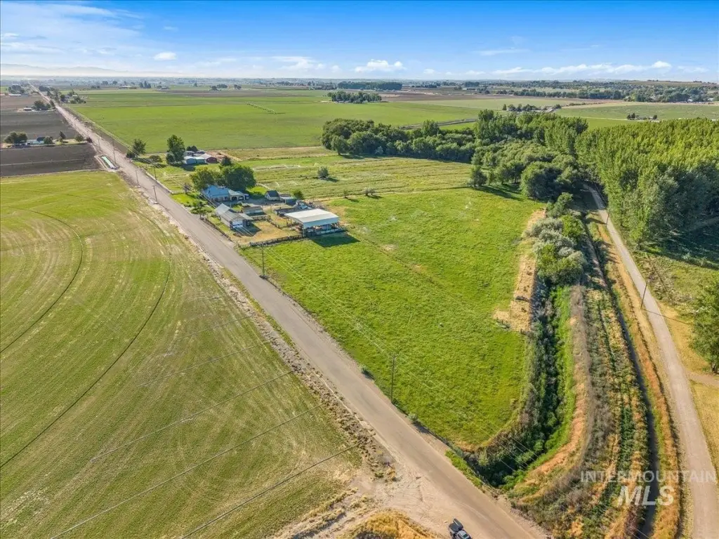
Parcel-1 Lower Pleasant Ridge Rd Wilder, Wilder, ID 83676

- Added:
- Jun 8, 2026
- Days on Market:
- 7
- Last Refresh:
- Jun 14 at 11:06 am
Property Features for Parcel-1 Lower Pleasant Ridge Rd Wilder
General Information
- Property type
- Land
- Property subtype
- Other
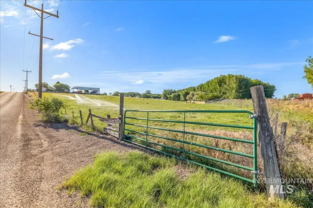
- Fencing
- Fenced
- Standard status
- Active
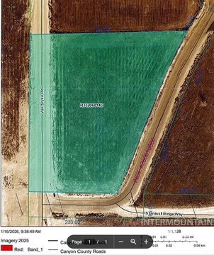
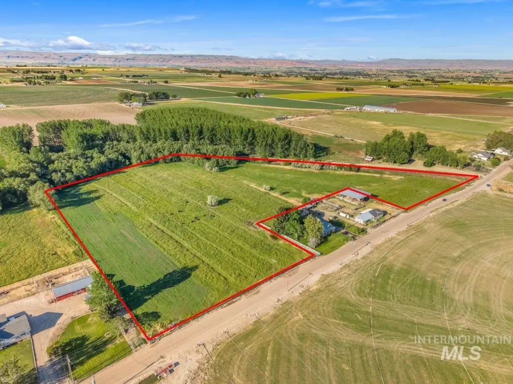
- Lot size
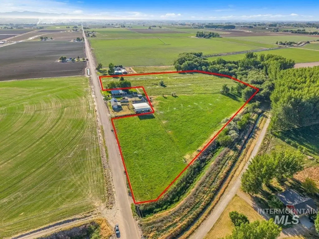
- 15.44 Acres
Taxes and HOA fees
- Tax Year
- 2025
- Tax Annual Amount
- 2167
Utilities
- Utilities
- Propane
- Water source
- Well
Listing agent Michael Williams License #SP41583 (208) 497-9184
Listing office Amherst Madison 592 N Benjamin Ln, Boise, ID (208) 391-2391
Listing date Jun 8, 2026
Copyright © 2026 Intermountain Multiple Listing Service. All rights reserved. All information provided by the listing agent/broker is deemed reliable but is not guaranteed and should be independently verified.
HighLights
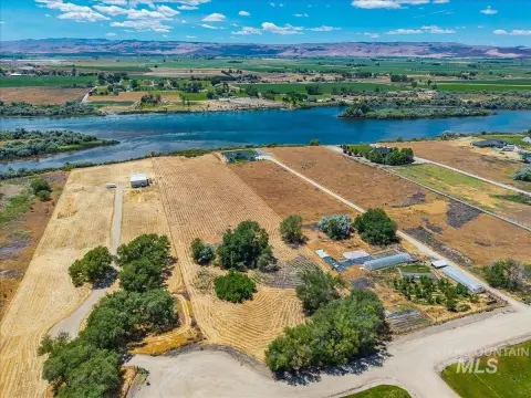
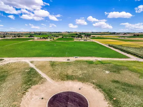
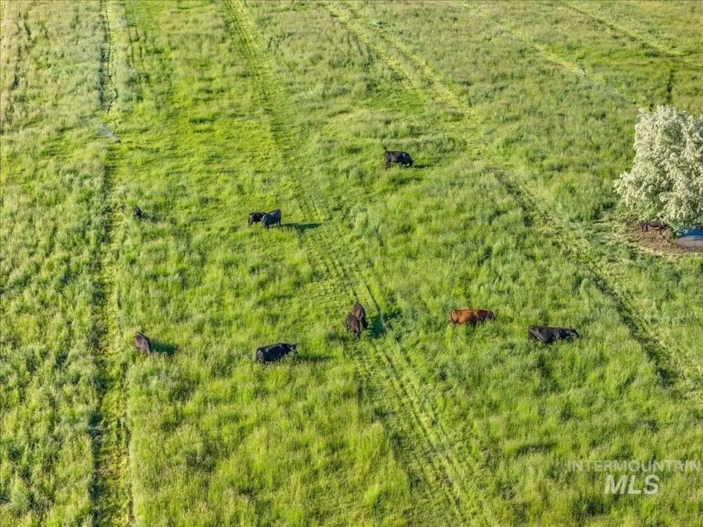
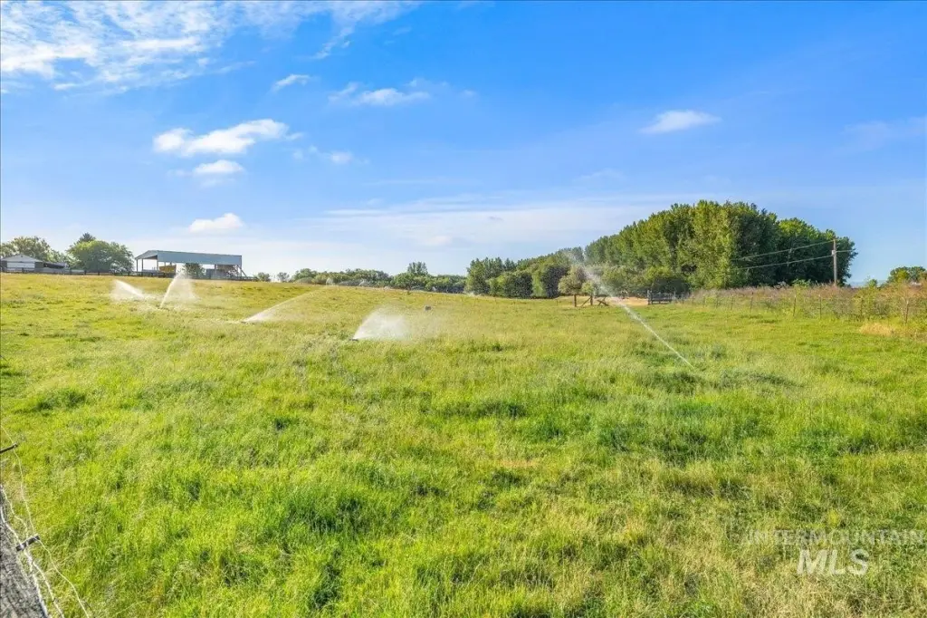
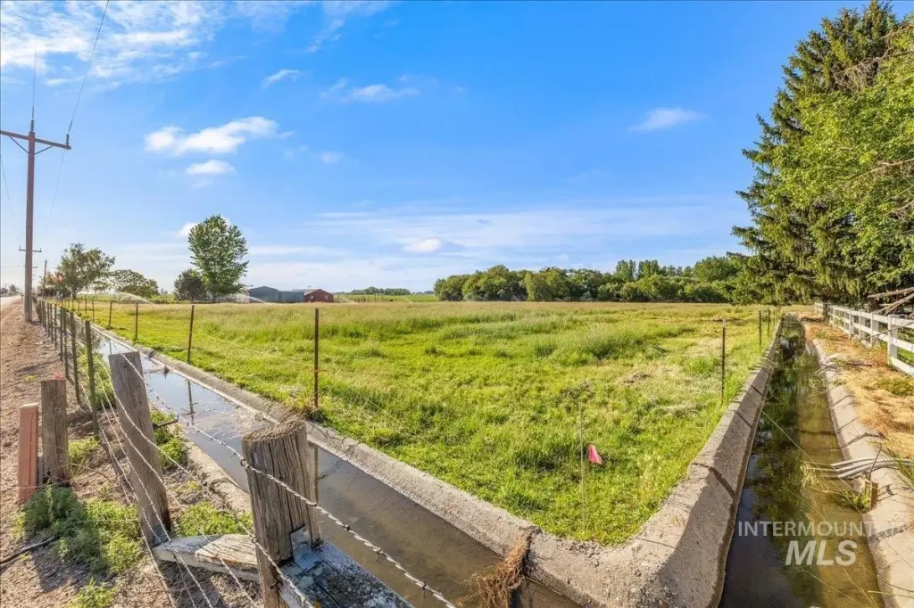
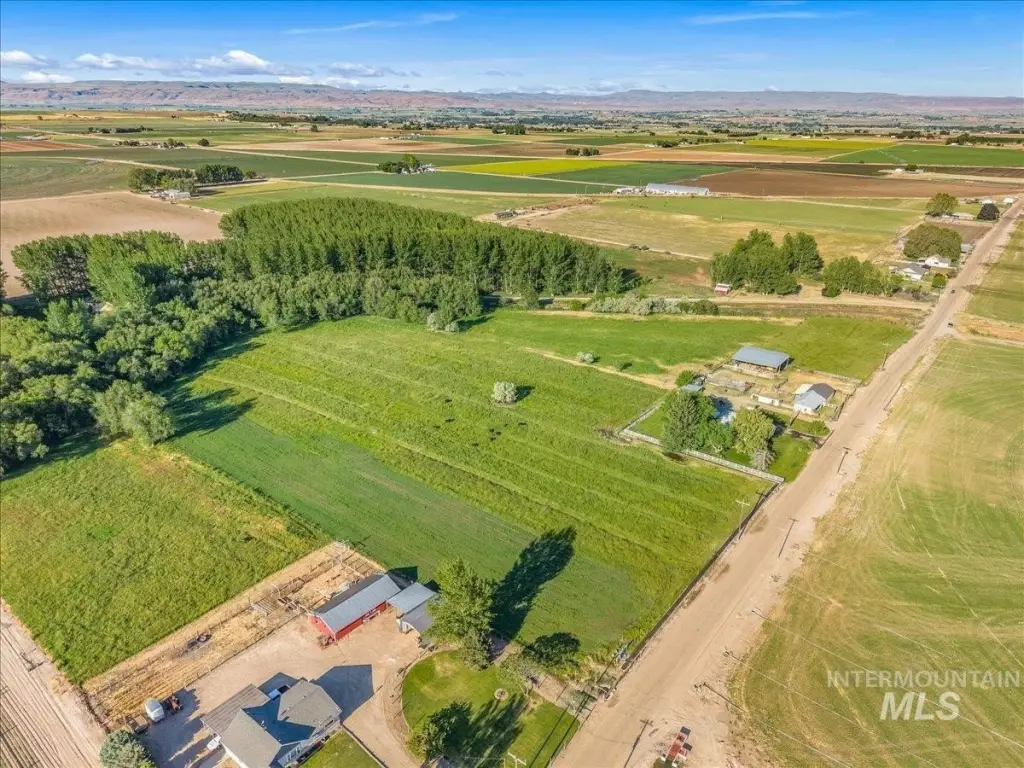
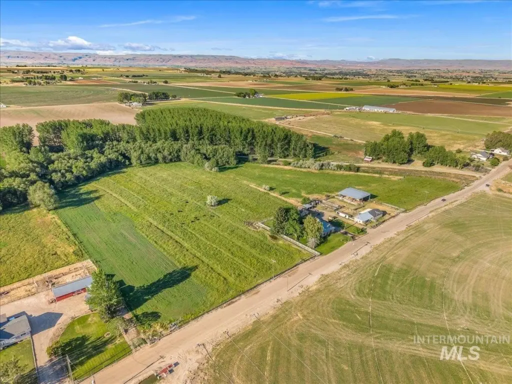
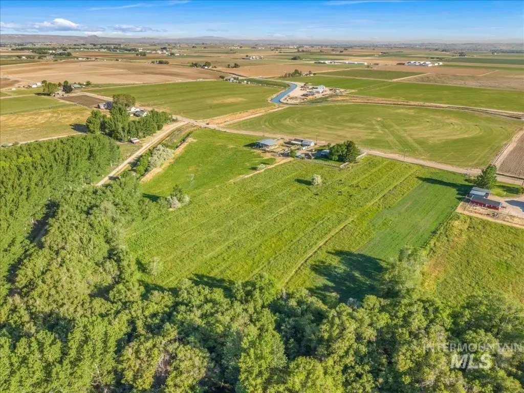
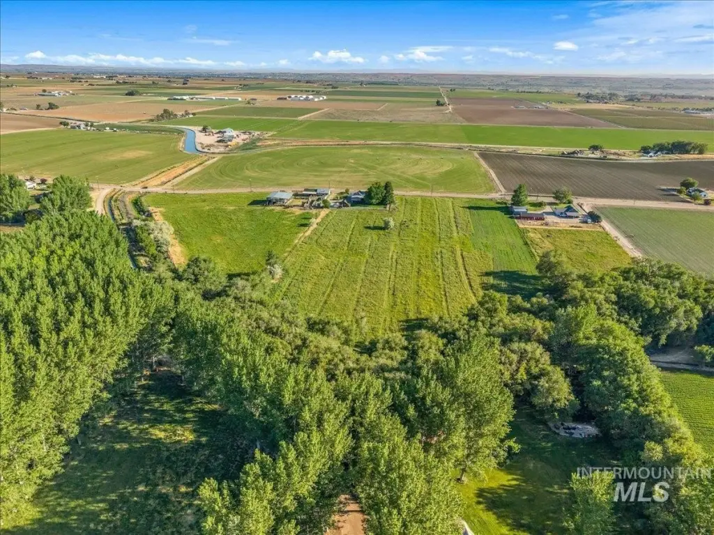
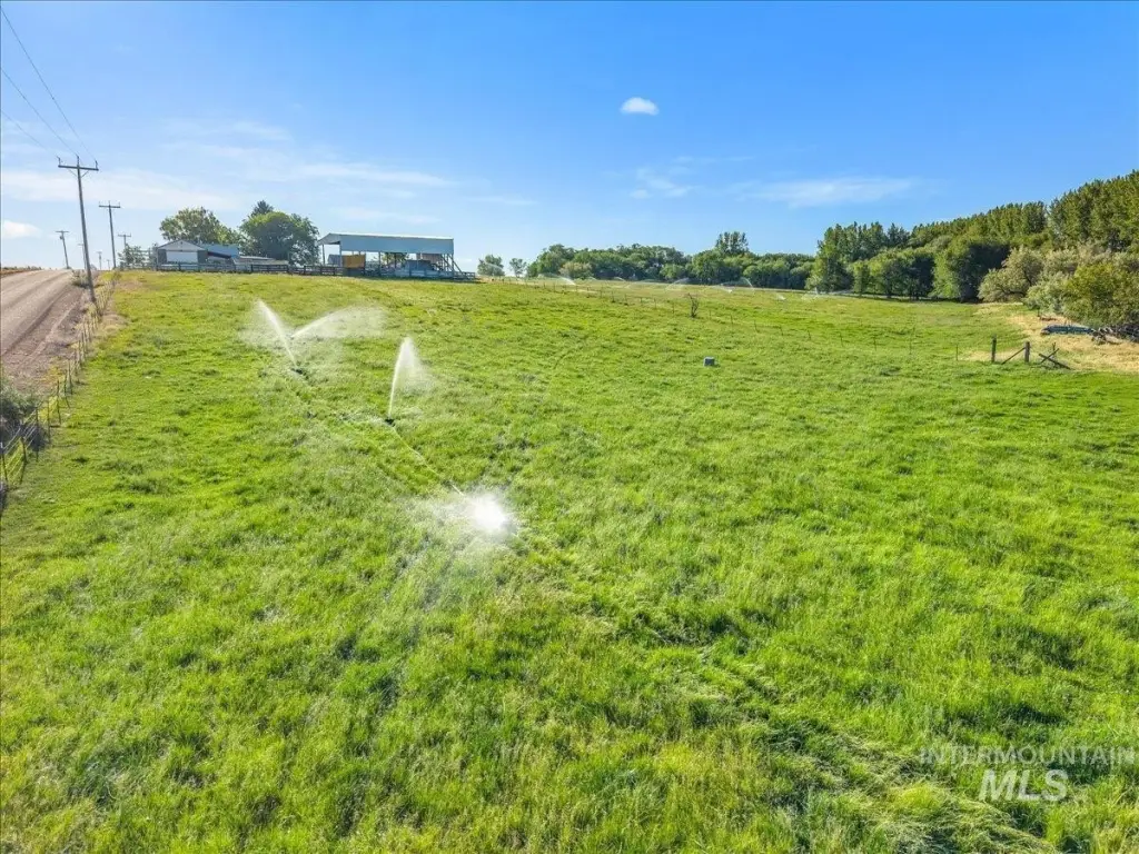
- 15‑acre property with usable land for a farm or homestead setup
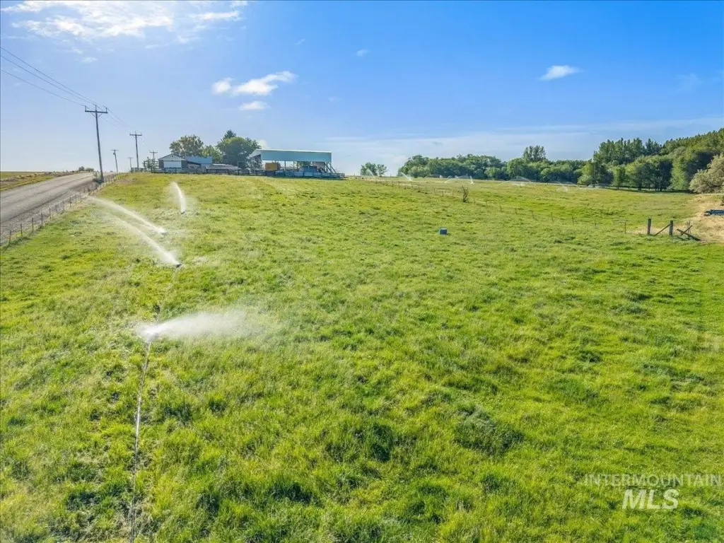
- Perimeter 5‑wire fencing plus electric fencing connected
- Utilities include propane; water source is a well
- Includes farm equipment and infrastructure: John Deere 4030 tractor with cab and front‑end loader
- Irrigation/pod infrastructure includes 6 pod lines with two 5‑horsepower pumps, plus plow, disk, and harrow
- Building permit available; house not included and expected to be listed separately with an additional 1.7 acres
Overview
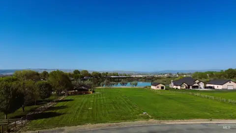
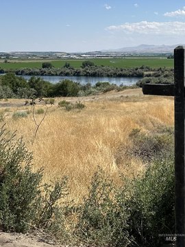
The land is located in Wilder, Idaho, in Canyon County, off Lower Pleasant Ridge Rd. With open space and room for on-site farming and homestead activities, the parcel is suited for buyers looking to establish or expand an operation with existing field-ready components.
For tenants, buyers, or operators seeking country property for farming, animal care, or equestrian-style use, the existing fencing and power-connected electric setup can help reduce upfront site work. The available building permit provides a starting point for planning future structures on the acreage. Please note that the house is not included at this time; it is expected to be listed separately along with an additional 1.7 acres.
Current Use by Public Records
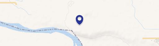
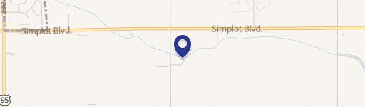
Map
- City
- Wilder
- County
- Canyon
- State
- Idaho
- Longitude
- -116.915
- Latitude
- 43.6618