Highway 95, Wilder, ID 83676

- Added:
- Mar 27, 2026
- Days on Market:
- 96
- Last Refresh:
- Jun 30 at 10:06 am
Property Features for Highway 95
General Information
- Property type
- Commercial Sale
- Property subtype
- Other
- Standard status
- Active
- APN
- R3367101300, R3367101200, R3367100000
- Lot size
- 7.67 Acres
Taxes and HOA fees
- Tax Year
- 2024
- Tax Description
- see docs
- Tax Annual Amount
- 4678
Utilities
- Utilities
- Electricity Available
- Water source
- Well
- Water front features
- Creek, Waterfront
- Water front
- 1

Listing agent Amanda Muller License #SP44255 (208) 249-2221
Listing office Homes of Idaho 3597 E Monarch Sky Lane, Nampa, ID (208) 442-8500
Listing date Mar 27, 2026
Copyright © 2026 Intermountain Multiple Listing Service. All rights reserved. All information provided by the listing agent/broker is deemed reliable but is not guaranteed and should be independently verified.
HighLights
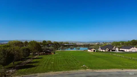
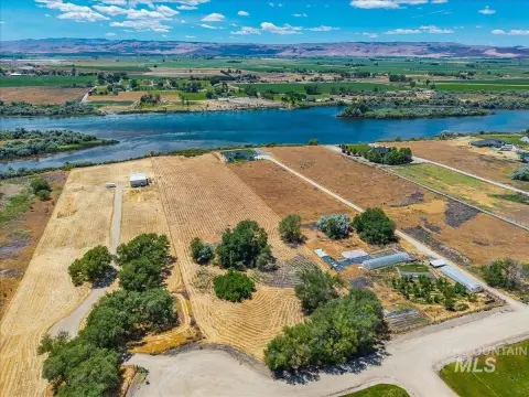
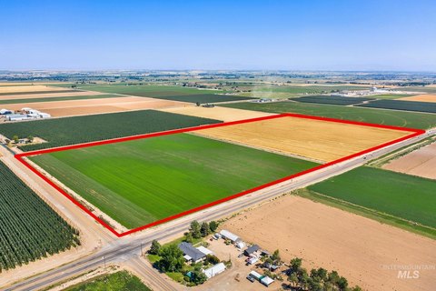
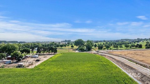
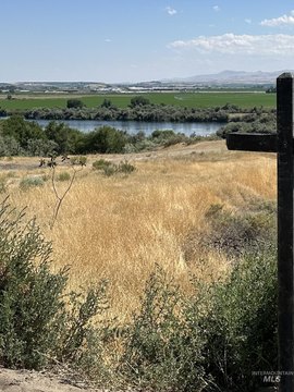
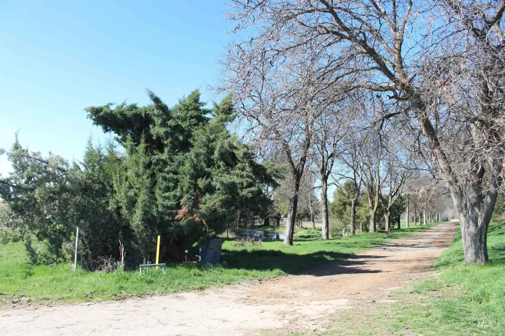
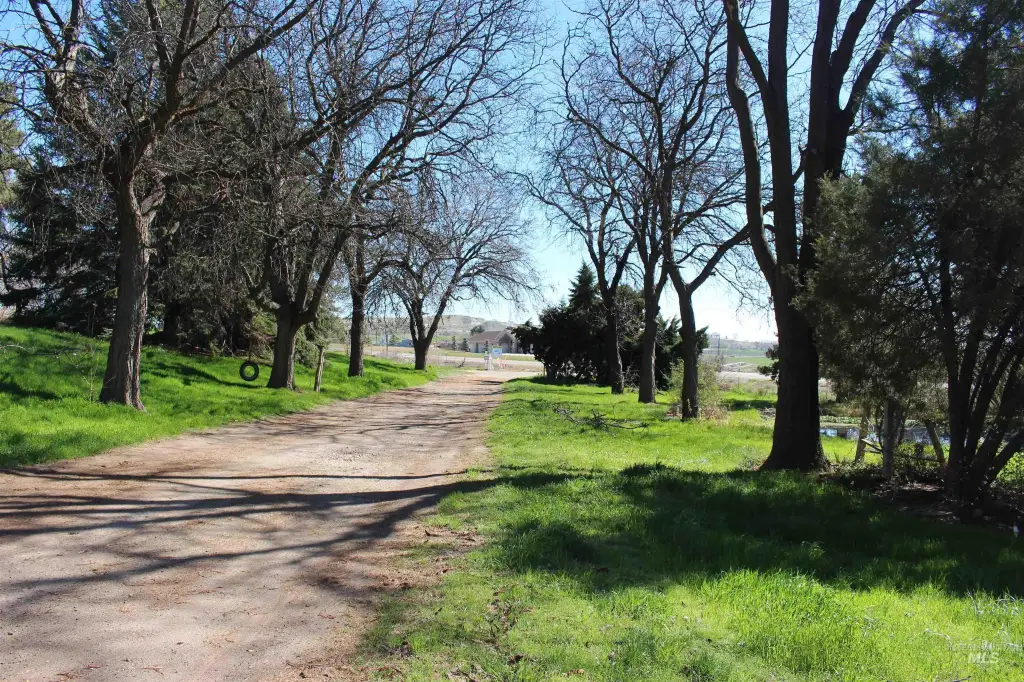
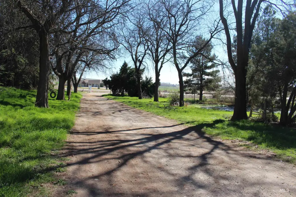
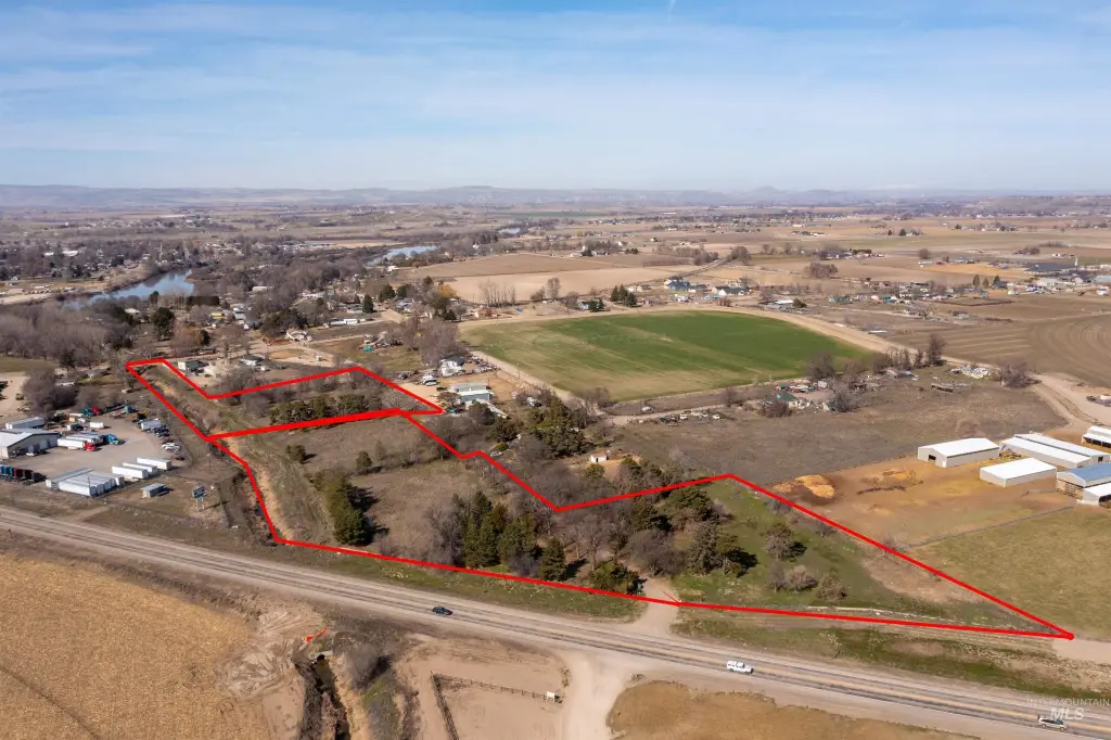
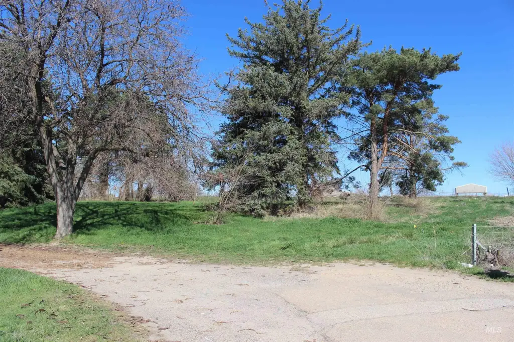
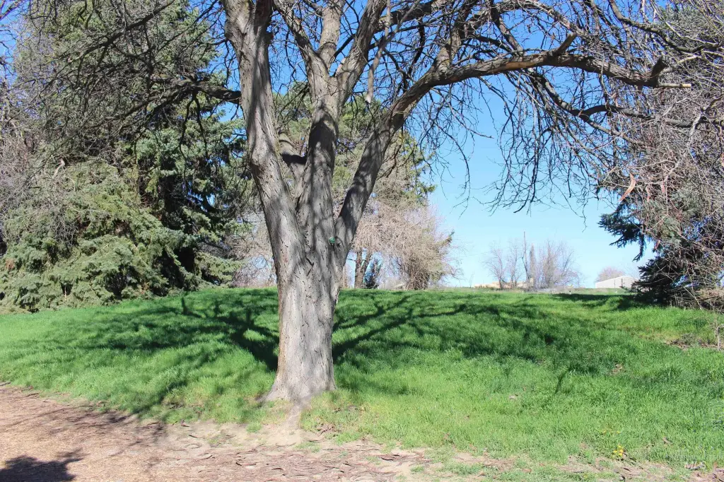
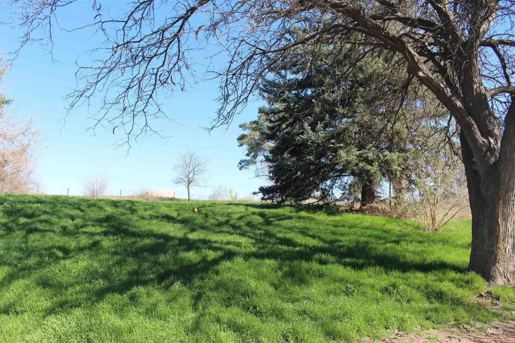
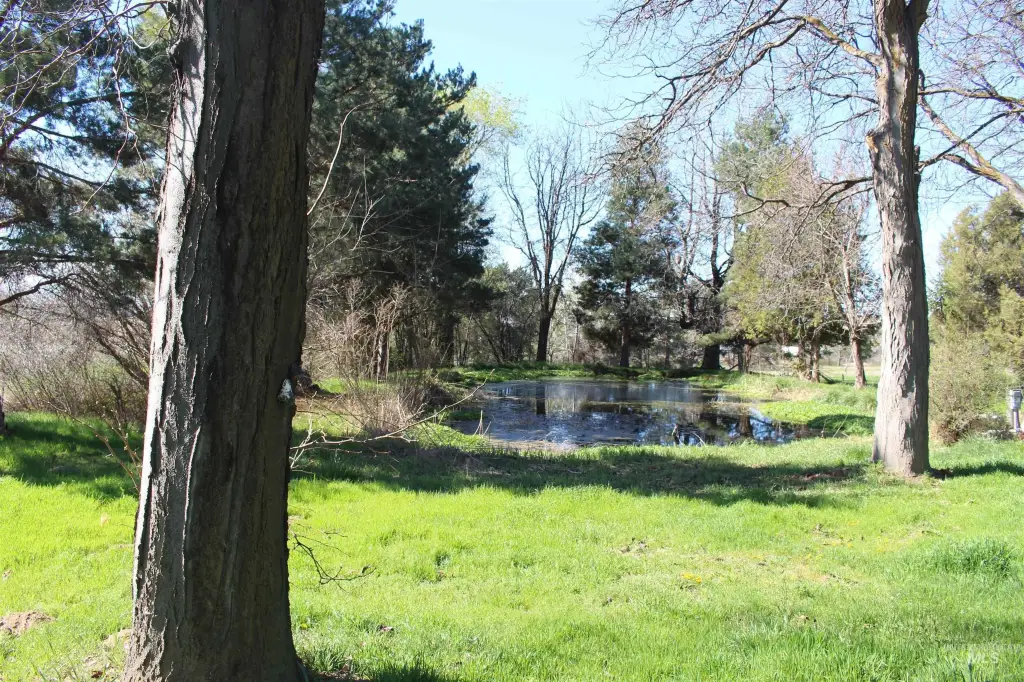
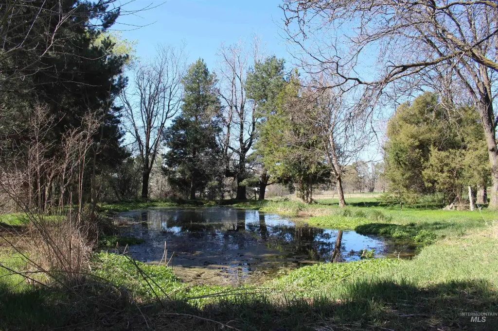
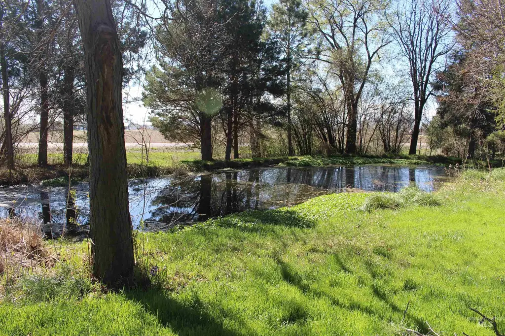
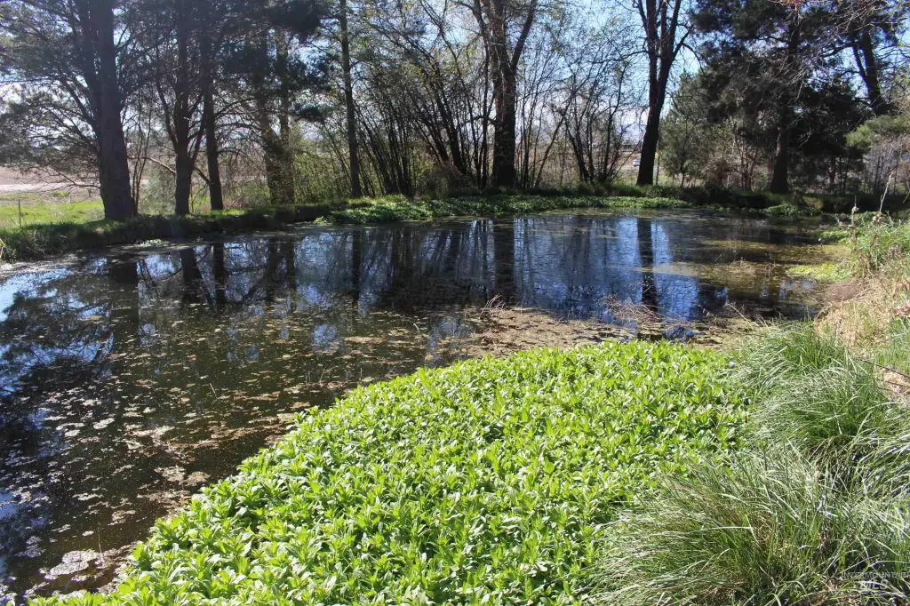
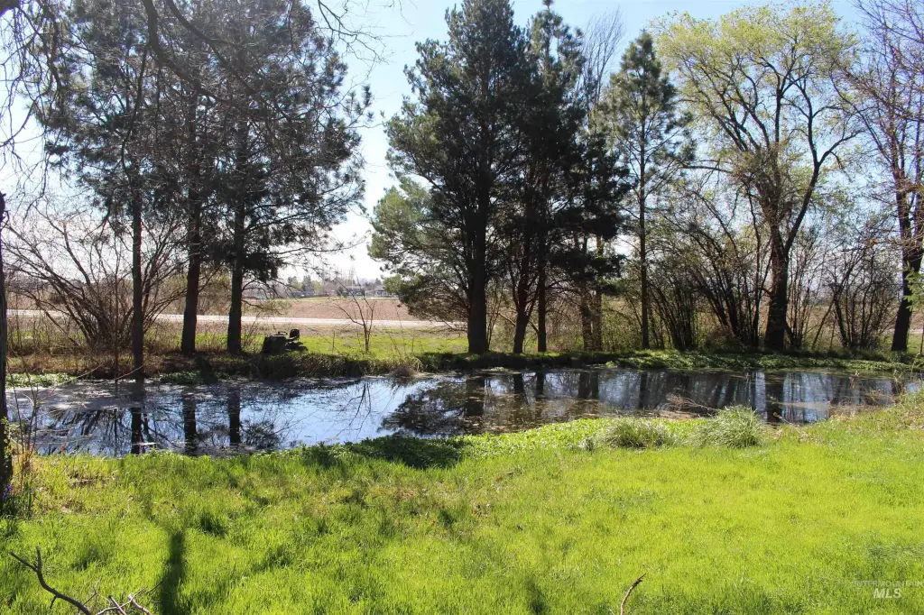
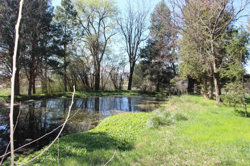
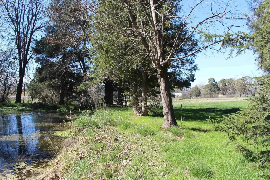
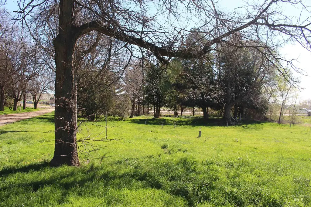
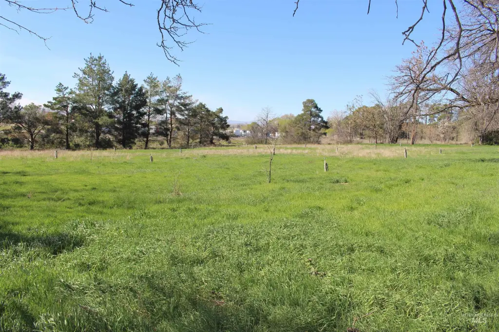
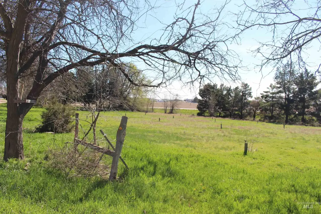
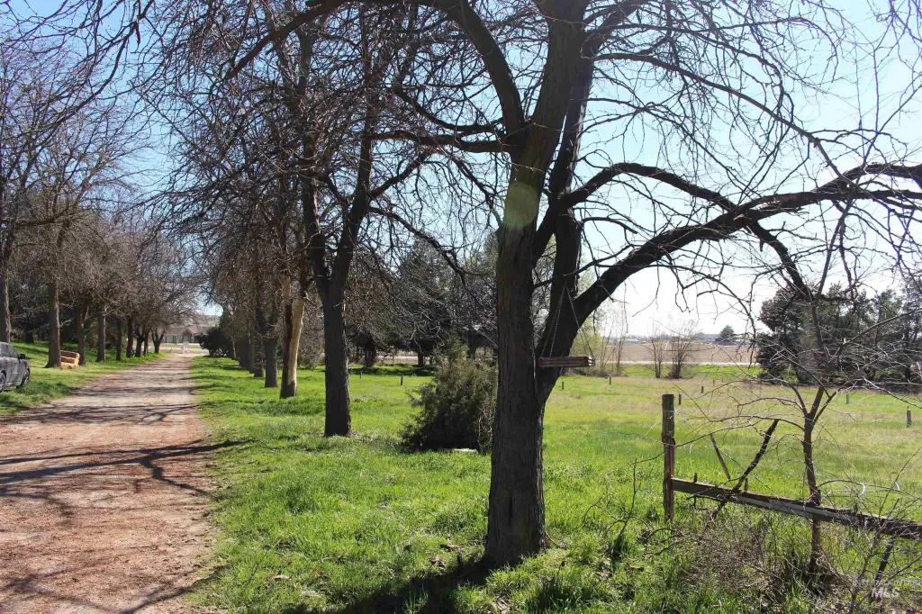
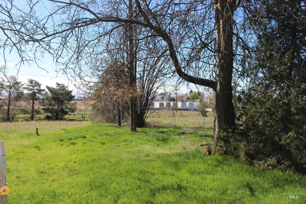
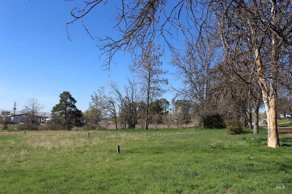
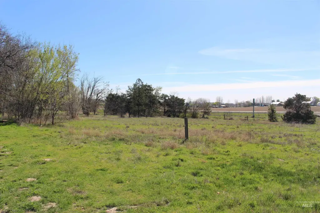
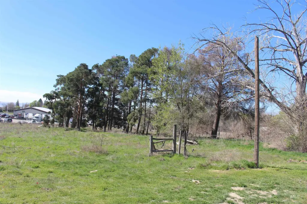
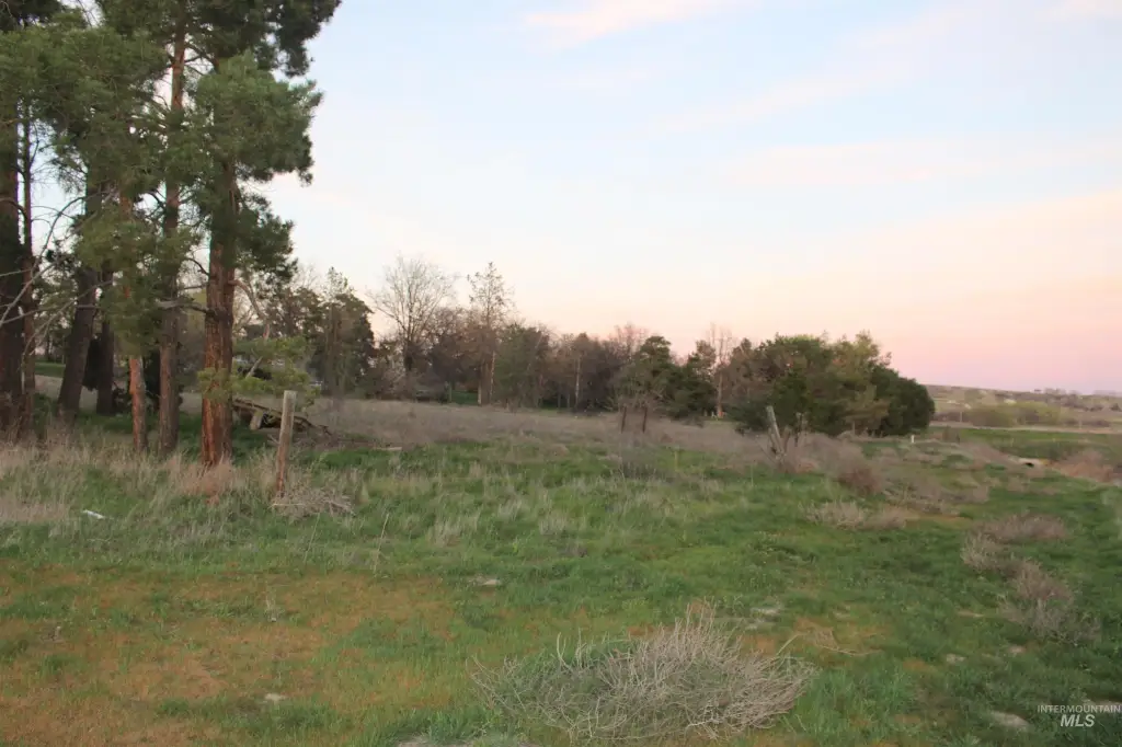
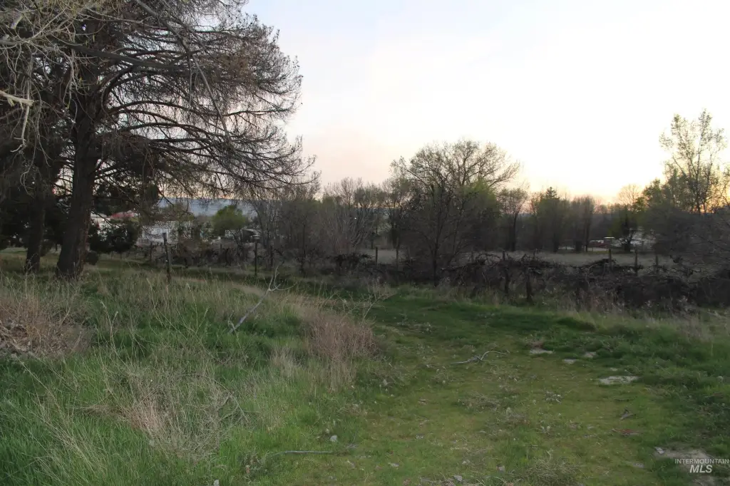
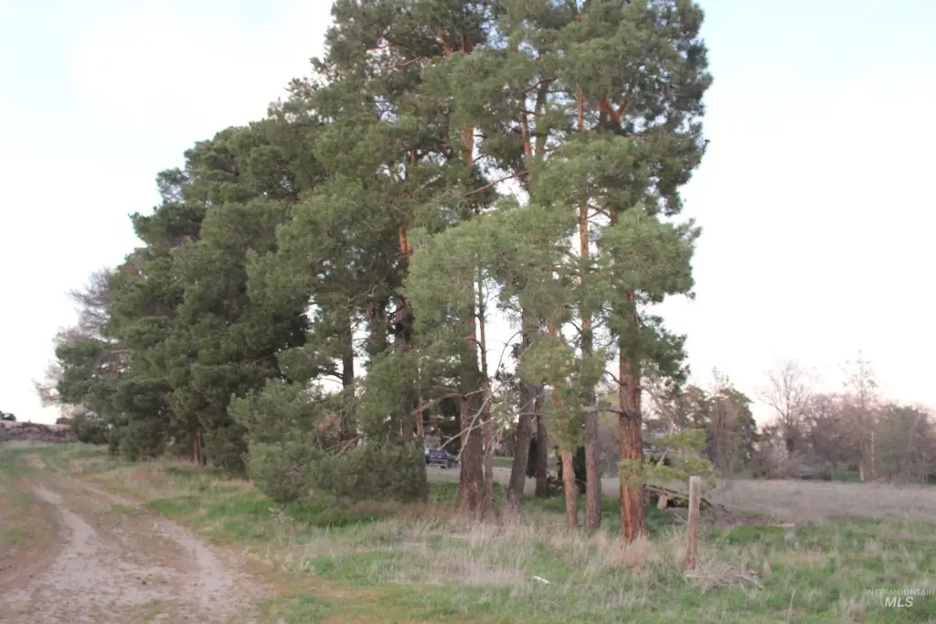
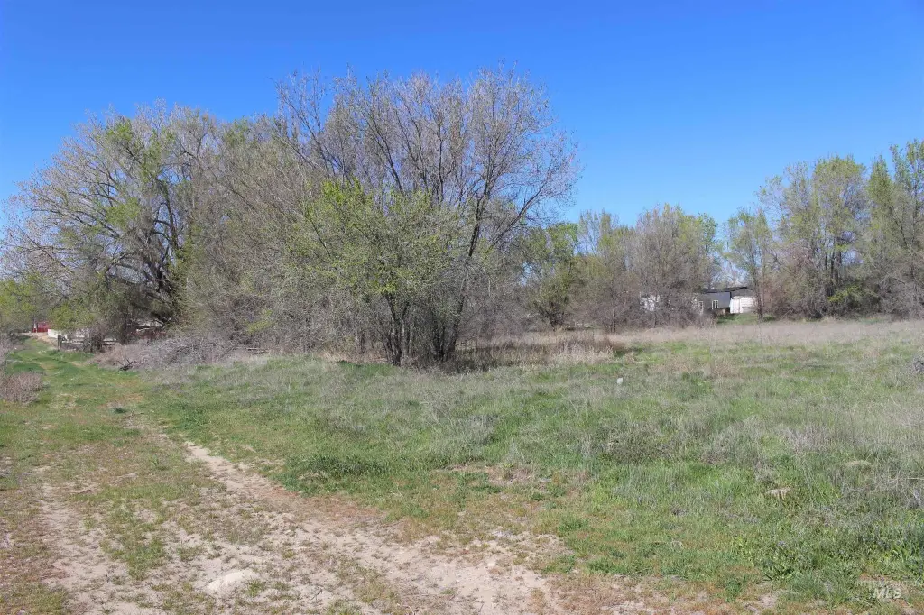
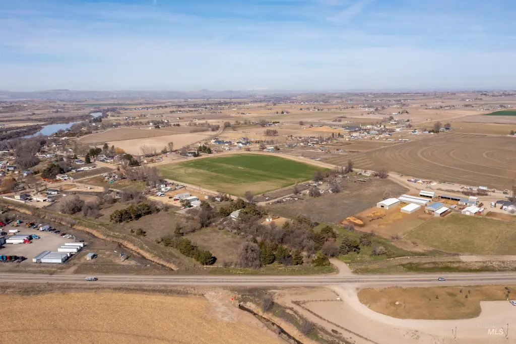
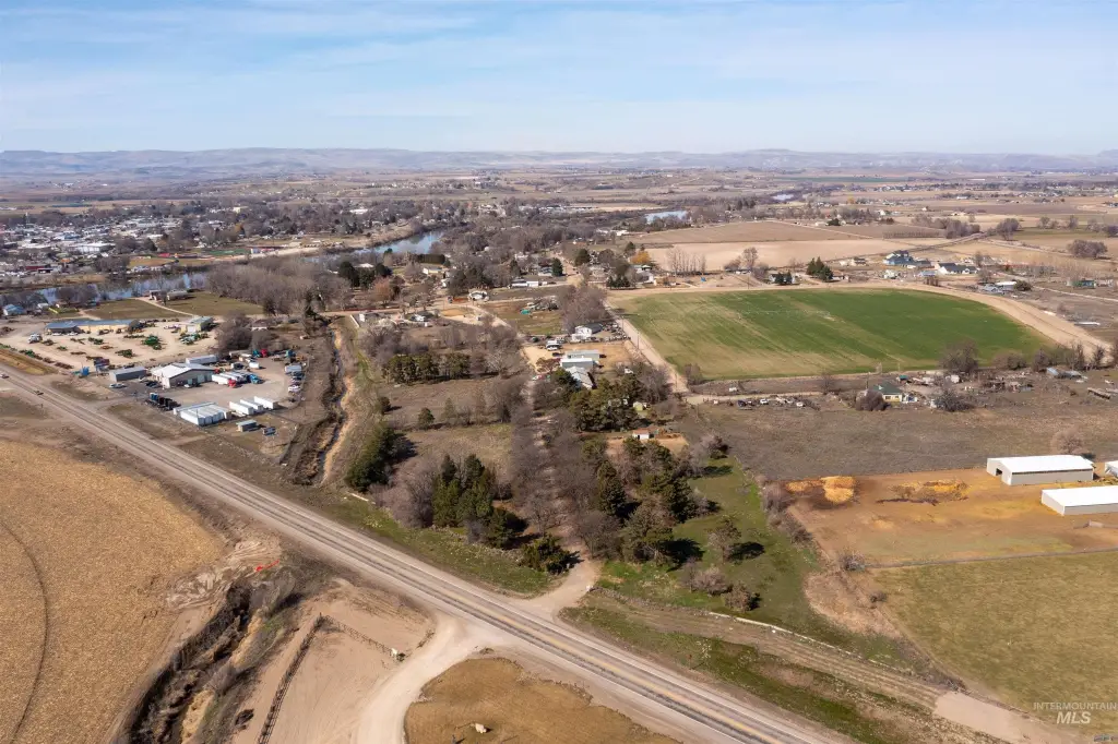
- Three parcels with waterfront on a creek and mature trees, grape vines, and an irrigation pond
- Utilities include electricity and natural gas available
- Water source is a well
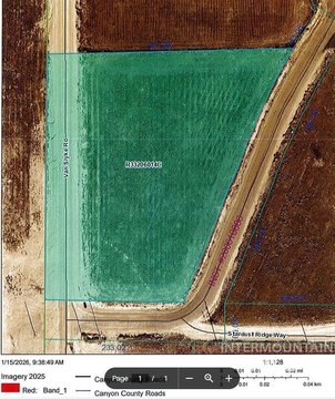
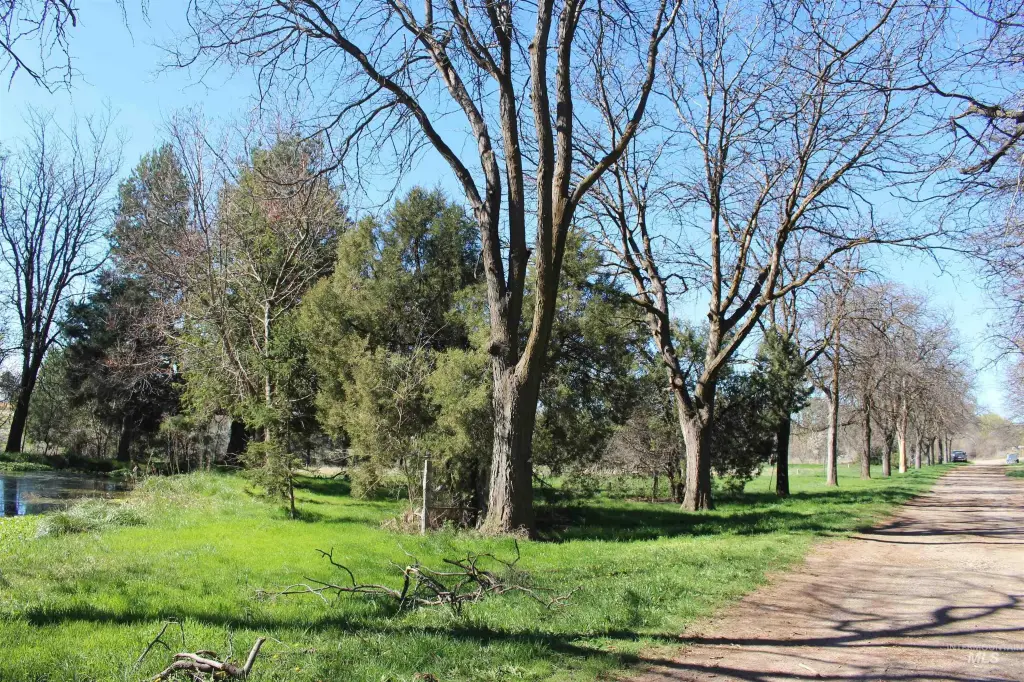
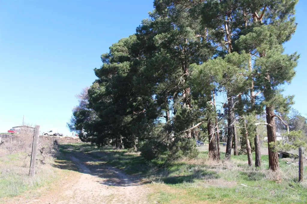
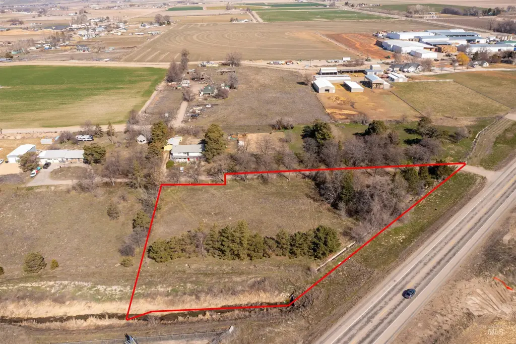
- Parcel access via private road from Hwy 95 to Batt Corner Rd
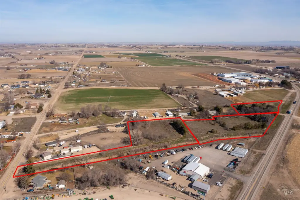
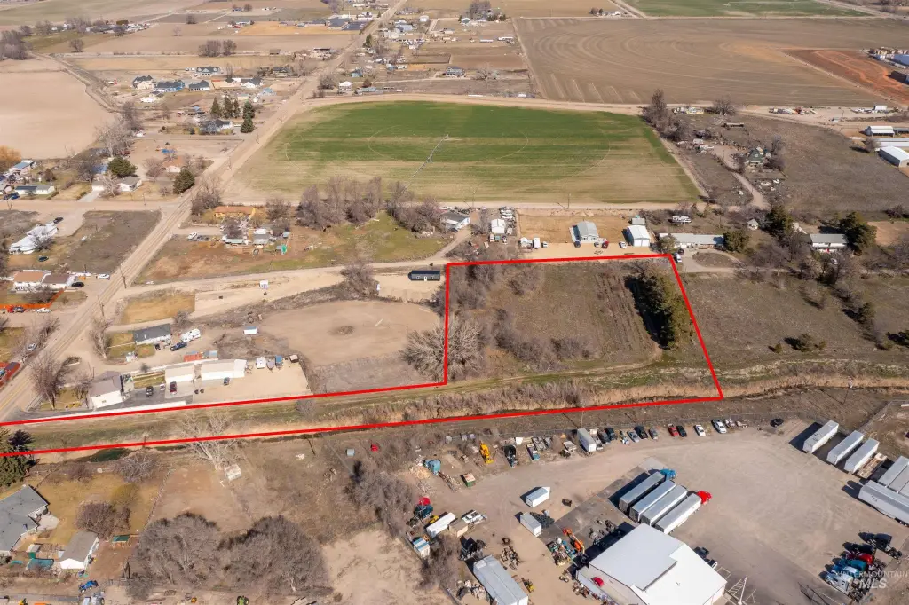
- Zoned C‑2 (service commercial) for most parcels, with a portion of Parcel #5 zoned A (Agricultural) along the Fargo Wasteway
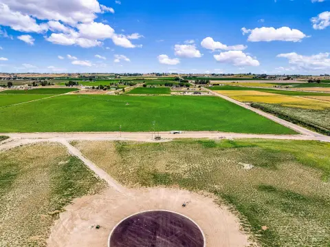
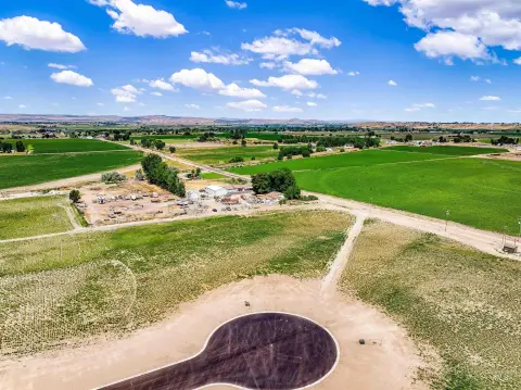
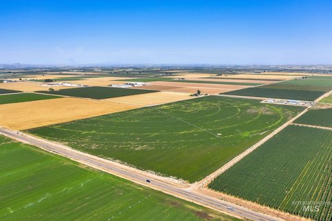
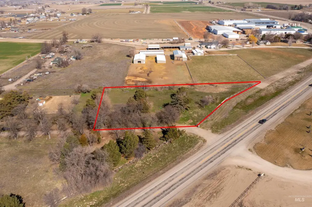
- Highway frontage on Hwy 95 in a quickly growing area (buyer to verify all details)
Overview
Access is provided via a private road that runs from Hwy 95 through to Batt Corner Rd. The parcels are described as having highway frontage and high visibility. Zoning is primarily C-2 (service commercial), with an exception: a portion of Parcel #5 is zoned A (agricultural) along the Fargo Wasteway.
The combination of creekfront agricultural features, irrigation, and service commercial zoning makes this property suitable for a variety of businesses that benefit from an on-site outdoor environment. Operators considering a commercial spot off the highway frontage should evaluate how the split zoning may affect layout, site planning, and parking for Parcel #3.
Current Use by Public Records
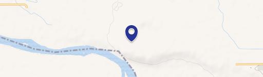
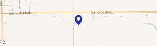
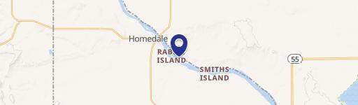
Map
- City
- Wilder
- County
- Canyon
- State
- Idaho
- Longitude
- -116.9173355
- Latitude
- 43.62392814