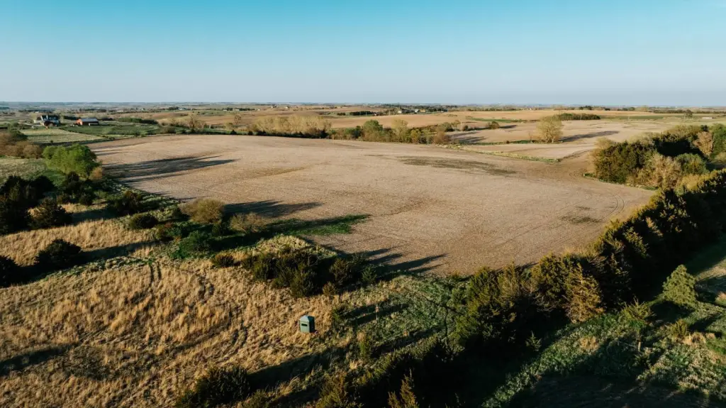
Terraced Farmland with Highway
For Sale
Under Contract
$730,000
South Hwy 66A, Palmyra, NE 68418
LAND - Palmyra, NE
Property SizeContact for details
Lot Size73.22 Acres
Days on Market503
Property Features for South Hwy 66A
General Information
Property type
Land
Property subtype
Other
Directions
From Syracuse, NE head West on HWY 2 to Palmyra, NE and turn left onto South 8th Road. Head South on South 8th Road for 5.4 miles, property is located on the West side of South 8th Road.
Standard status
Active Under Contract
Lot size
73.22 Acres
Taxes and HOA fees
Tax Annual Amount
2905
Listing Agency:
American Legacy Land Company
(308) 991-9544
Listed By:
Robert Osborne
(308) 991-9544
Added: Apr 9, 2025
Changed: Jul 25
Last Checked: Aug 24 at 6:06PM
MLS# 11484738
Copyright © 2026 My State MLS. All rights reserved. All information provided by the listing agent/broker is deemed reliable but is not guaranteed and should be independently verified.
Investment Insights
Based on property information with market context.
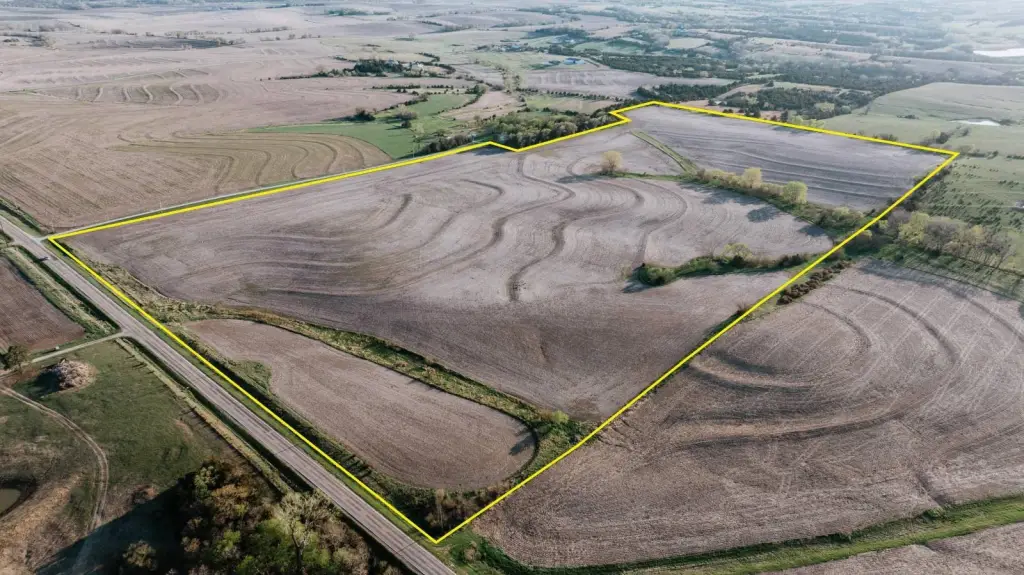
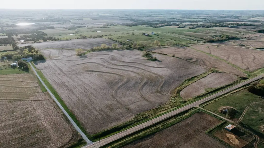
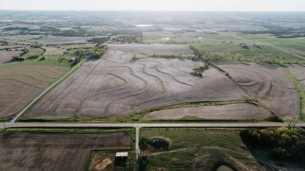
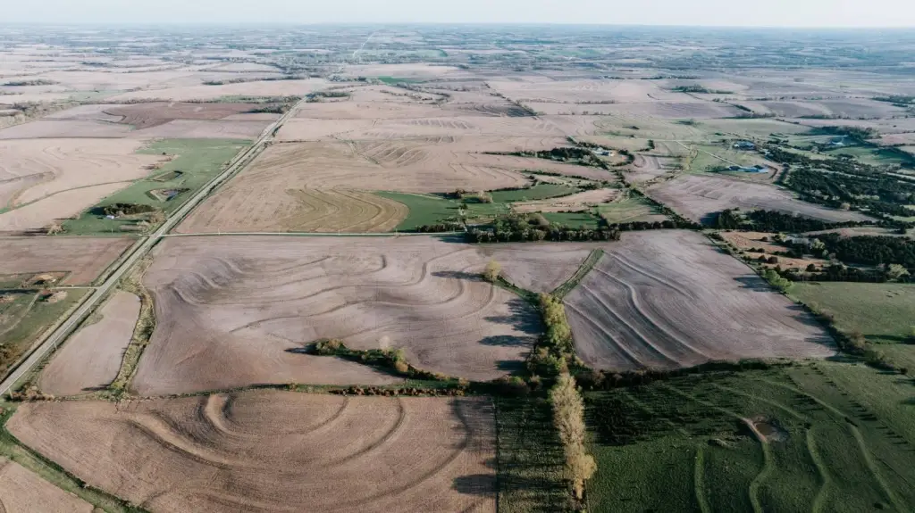
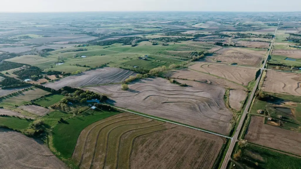
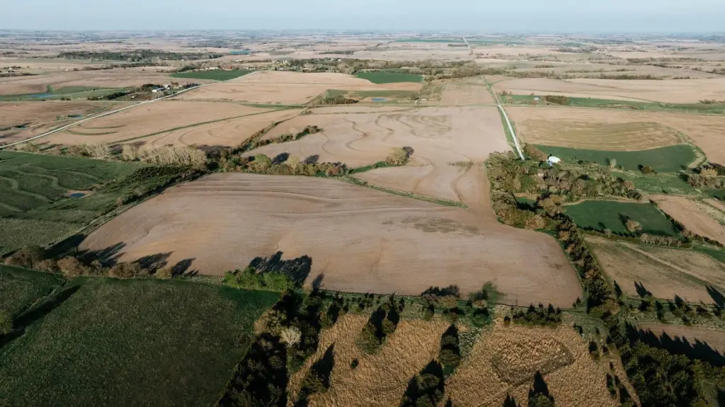
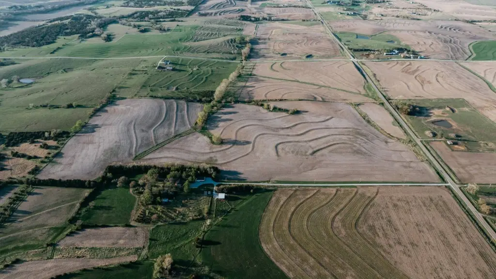
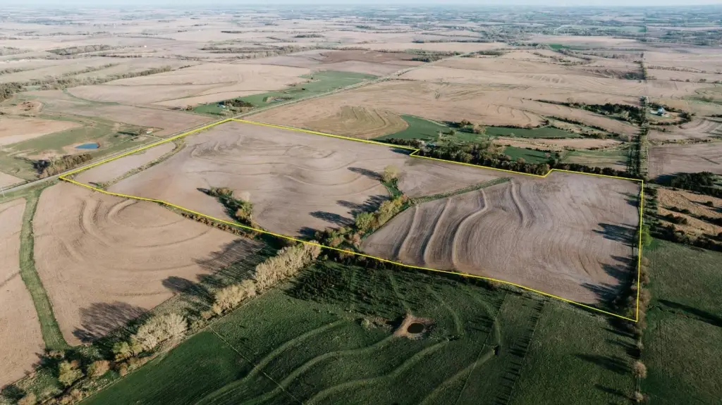
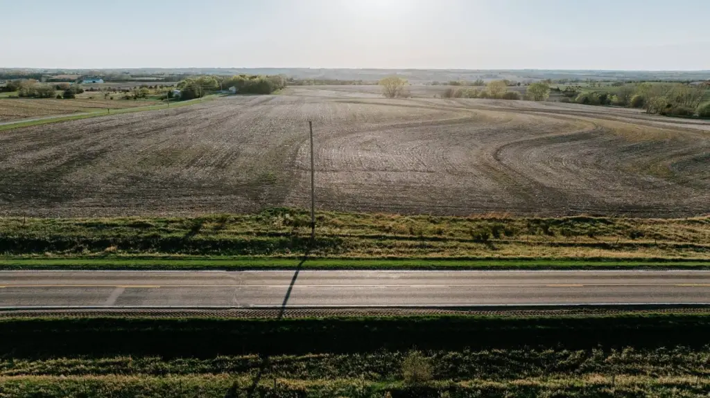
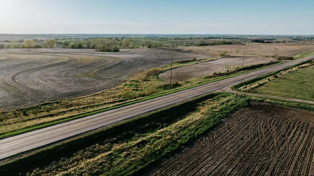
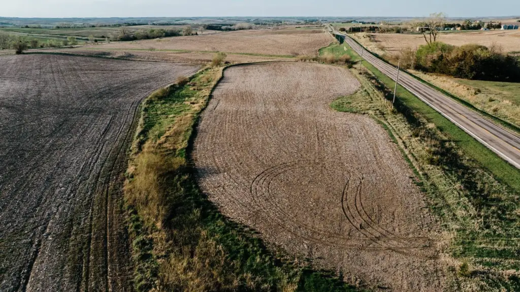
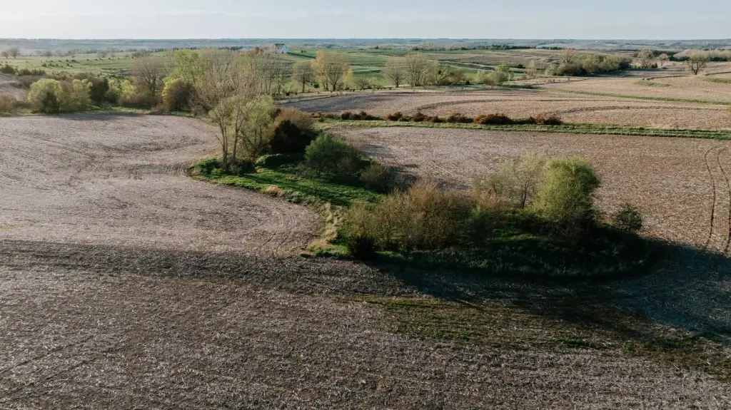
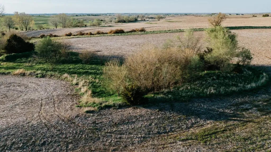
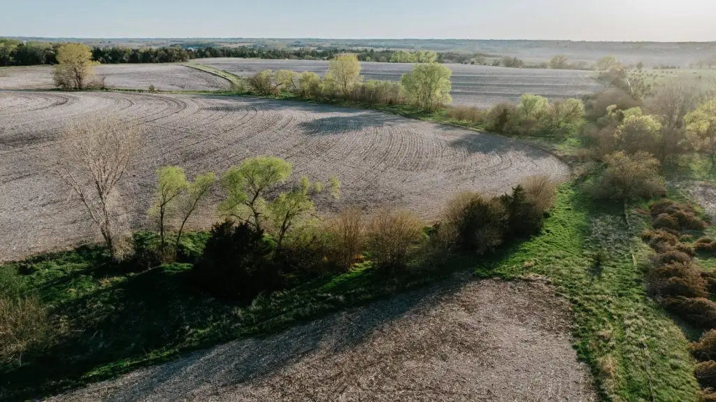
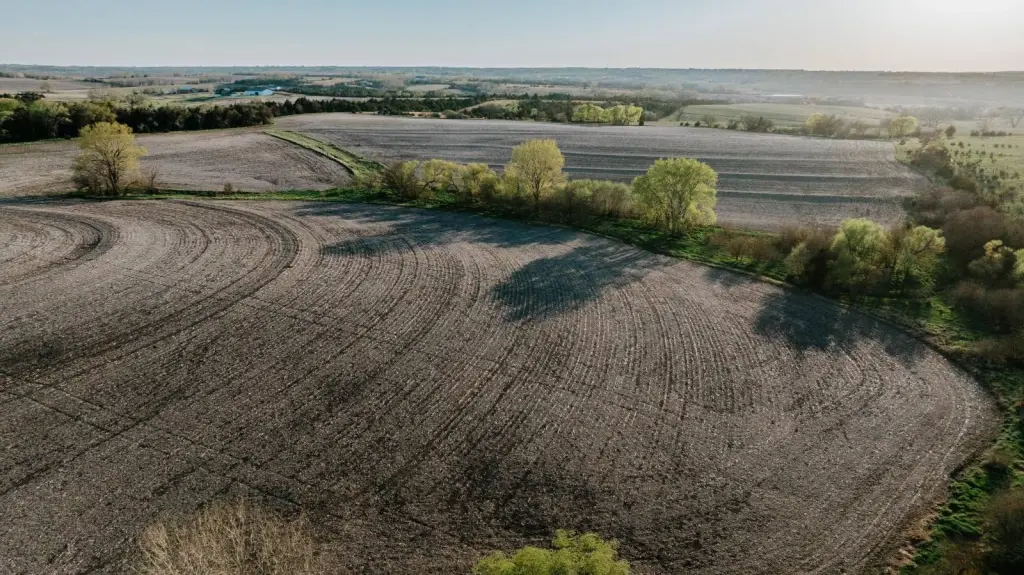
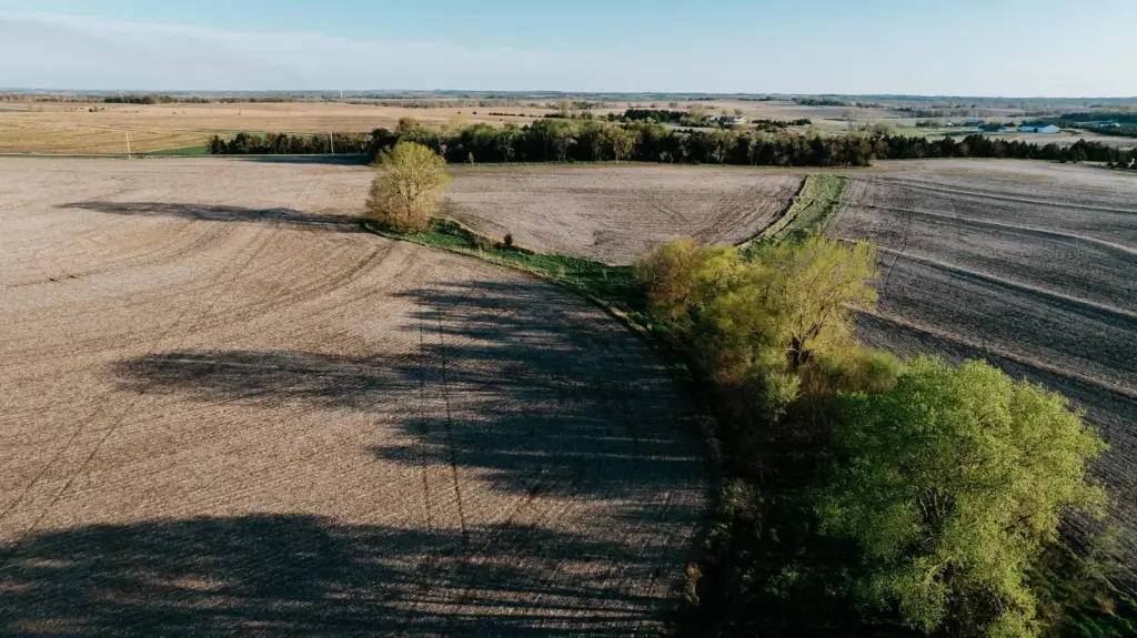
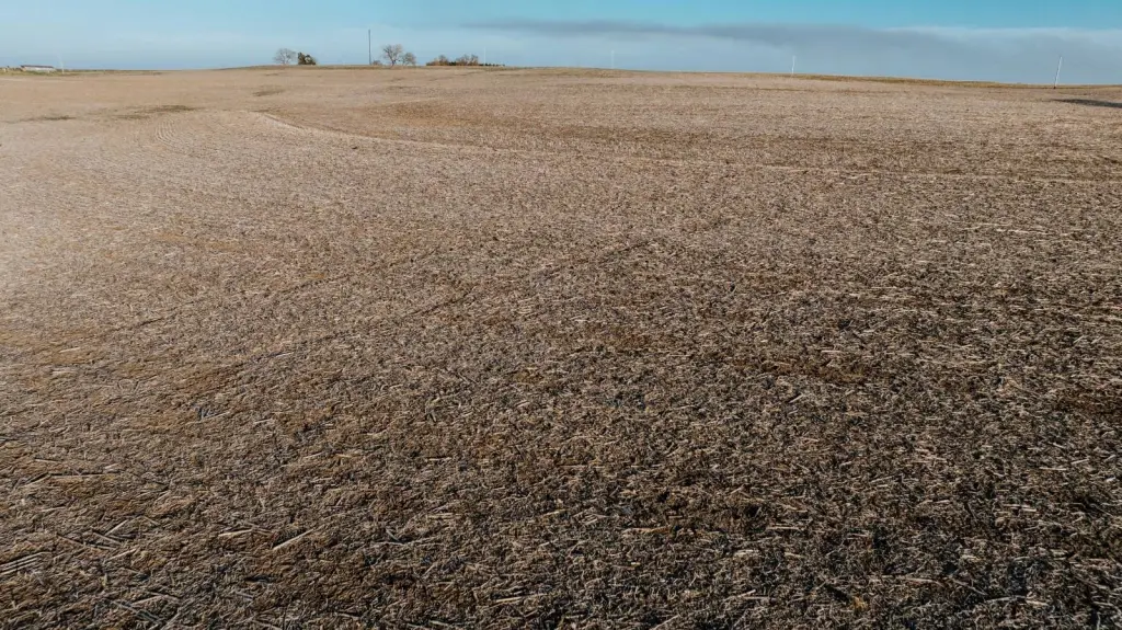
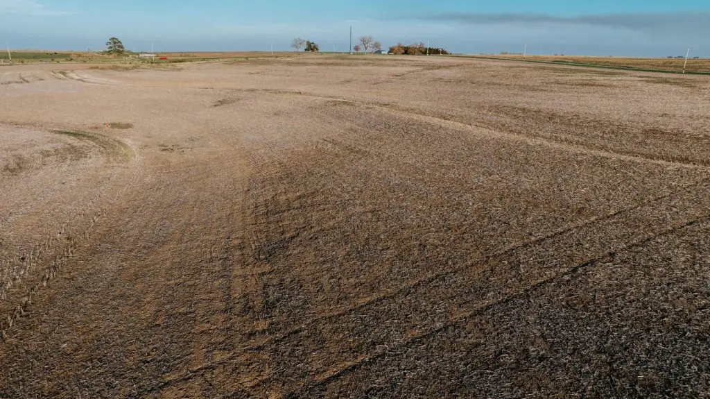
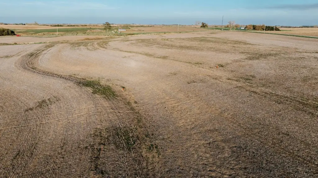
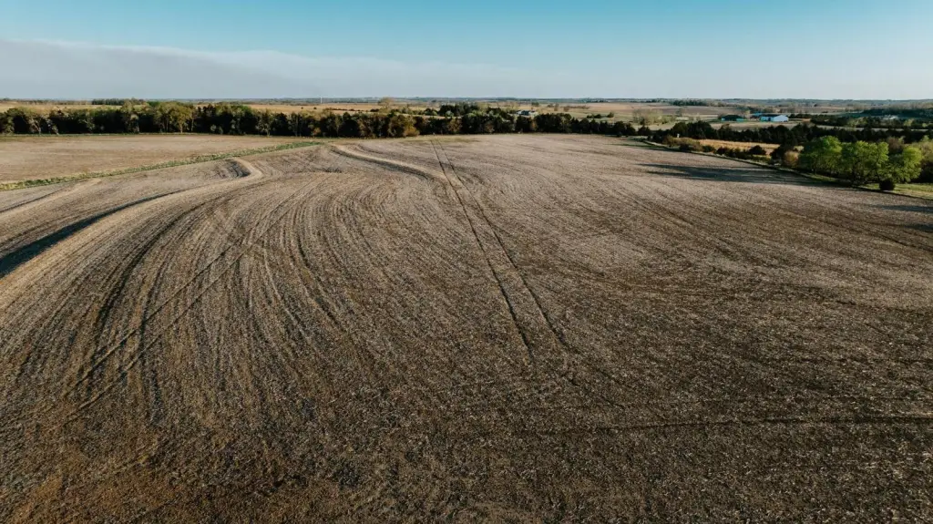
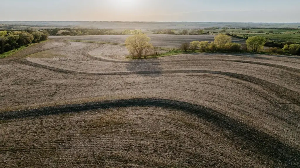
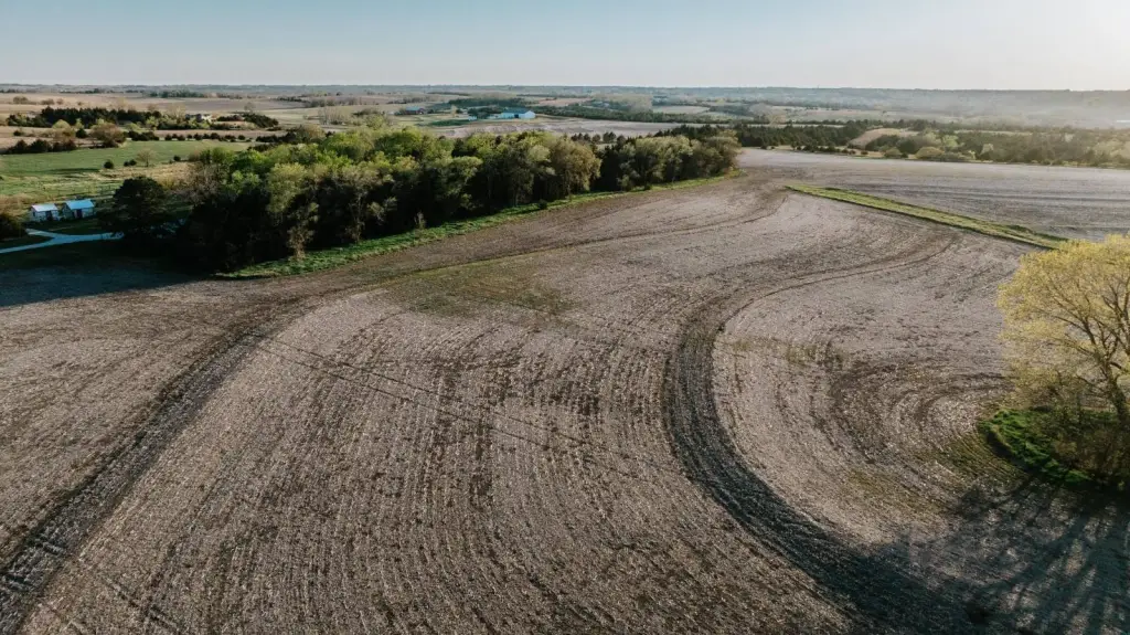
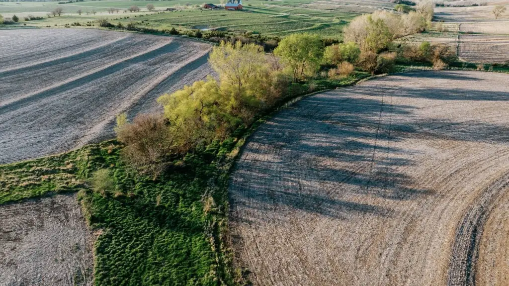
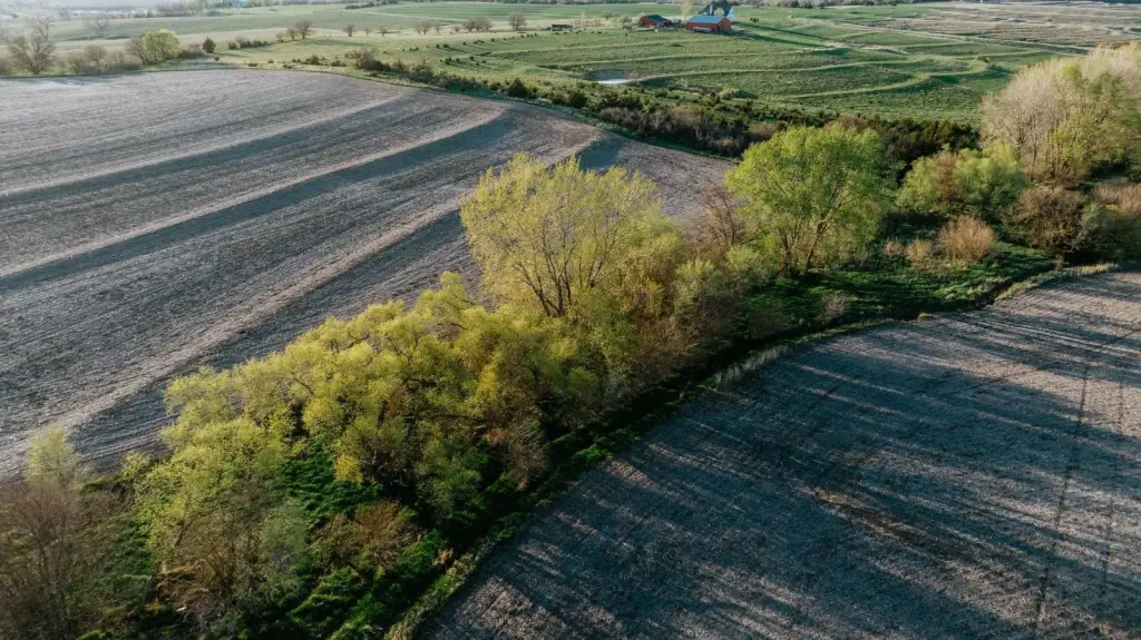
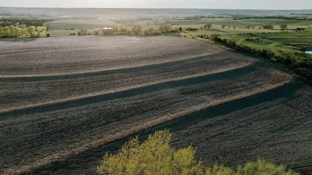
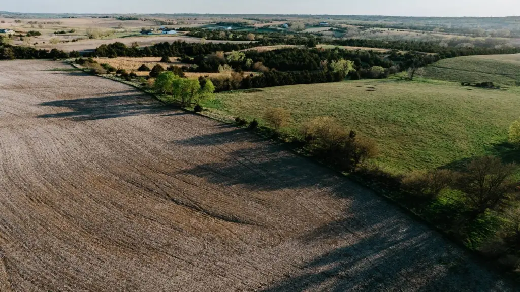
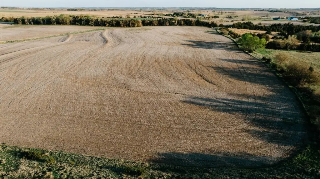
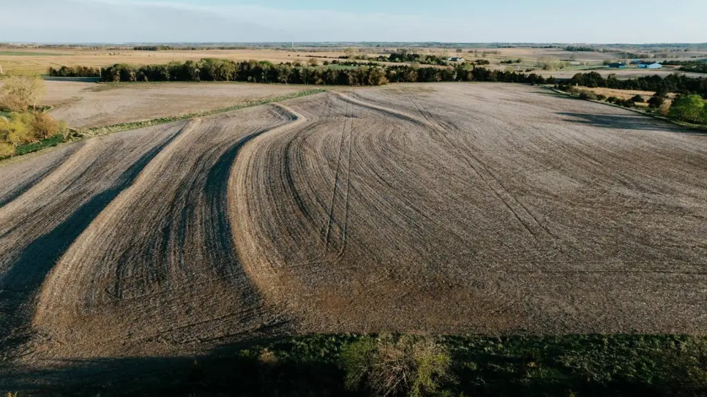
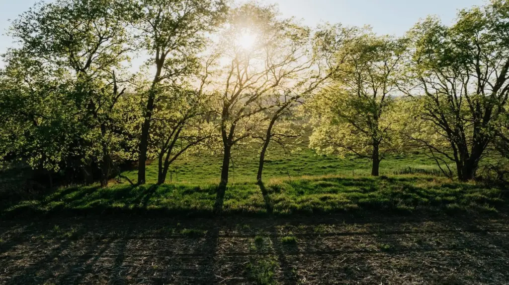
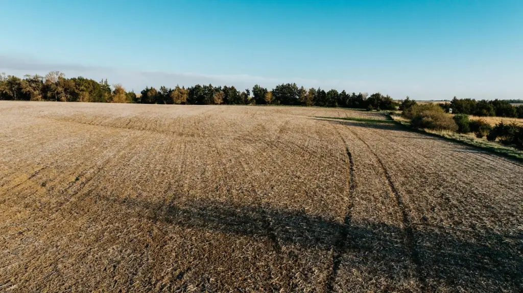
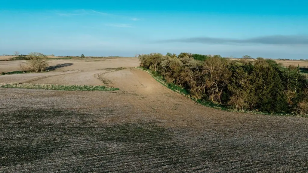
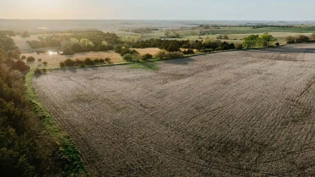
The offering is 73.22 acres of gently rolling dry farm ground in Otoe County, Nebraska. The land is described as having predominantly Pawnee Clay Loam and Wymore Silty Clay, with 4 to 8% slopes. Naturally low areas include wide stands of grasses that help reduce erosion potential, and the property is terraced with drain tile in place. The ground is stated to be 95% farmable, with a small portion classified as waste.
The property borders State Highway 66A on the east side. It is located 5.4 miles south of Palmyra, Nebraska, and is described as approximately 20 minutes southeast of South Lincoln. Electrical service is supported at the property line, and rural water service is available. The land has been used in a corn and soybean rotation.
For buyers looking to add acreage to an existing farming operation or to hold land for a future build/acreage site, this parcel provides a largely farmable configuration with existing water and power at the site line. Drain tile and terracing are in place, supporting productive ground management, and the current owner indicates a willingness to pay a cash rent amount after harvest to the new owners. The legal description is 27-8-9 S1/2NE1/4 LESS 5AC TRACT & HWY ROW 1.78AC 73.22 AC SOUTH.
The property borders State Highway 66A on the east side. It is located 5.4 miles south of Palmyra, Nebraska, and is described as approximately 20 minutes southeast of South Lincoln. Electrical service is supported at the property line, and rural water service is available. The land has been used in a corn and soybean rotation.
For buyers looking to add acreage to an existing farming operation or to hold land for a future build/acreage site, this parcel provides a largely farmable configuration with existing water and power at the site line. Drain tile and terracing are in place, supporting productive ground management, and the current owner indicates a willingness to pay a cash rent amount after harvest to the new owners. The legal description is 27-8-9 S1/2NE1/4 LESS 5AC TRACT & HWY ROW 1.78AC 73.22 AC SOUTH.
Key Highlights
- 73 +/- acres of gently rolling farm ground in Otoe County, NE, located about 5.4 miles south of Palmyra
- Borders State Highway 66A on the east side and is about 20 minutes southeast of South Lincoln
- 95% farmable with only 3.38 acres of waste; ready for corn and soybean rotation
Property Analytics
Current Use
Lease Details
Yes
Highway access
Yes
Paved road access
Yes
Utilities to site
Location Intelligence
Trade Area within ½ mile
51
Businesses Nearby
Explore this area
Business Placement
Demographics for 68418, NE
1,220
Population
534
Households
2.3
Avg Household Size
39
Median Age
20%
College-Educated
95%
High-School Grad
68.6 sq mi
ZIP Area
18
Density / Sq Mi
$83,365
Median Household Income
$51,116
Median Earnings
$1,275
Median Rent
$198,500
Median Home Value

Questions? Ask Rey
Realmo’s AI knows this listing — price, zoning, demand, history. Ask anything.

Frequently Asked Questions
What type of property is this?
Agricultural land / Farmland - Gently rolling, terraced dry farm ground with utilities at the property line along State Highway 66A.
Where is this agricultural land / farmland located?
The property is located at South Hwy 66A Palmyra, NE.
What is the asking price?
The asking price for this property is $730,000.
What are key features of this property?
This property features: 73 +/- acres of gently rolling farm ground in Otoe County, NE, located about 5.4 miles south of Palmyra; Borders State Highway 66A on the east side and is about 20 minutes southeast of South Lincoln; 95% farmable with only 3.38 acres of waste; ready for corn and soybean rotation