Build-Ready Acreage in New
P2L18 County Road 463 Mexia, TX 76667

P2L18 County Road 463, Mexia, TX, 76667
$60,900
For Sale
$60,900
LAND - Mexia, TX
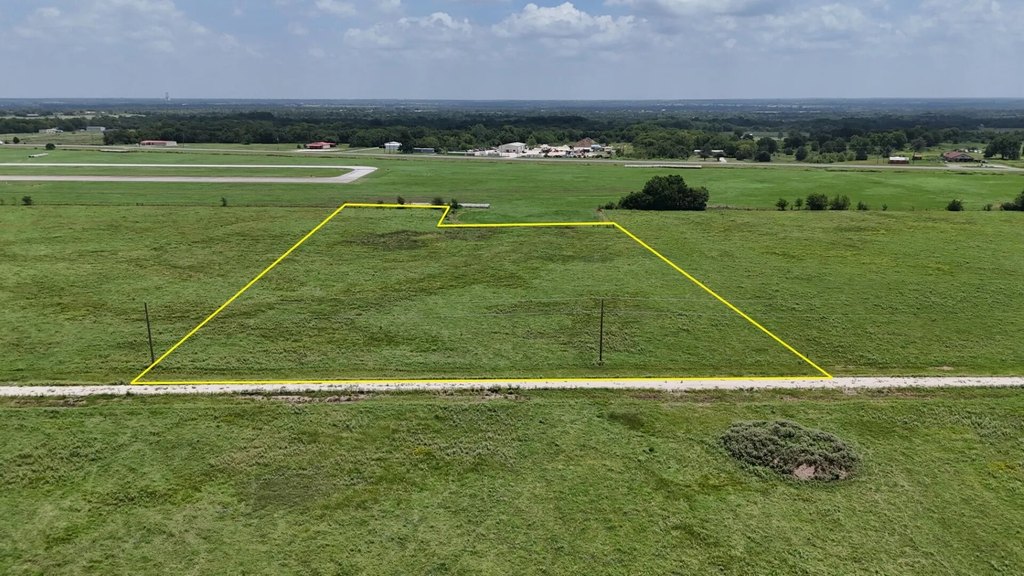
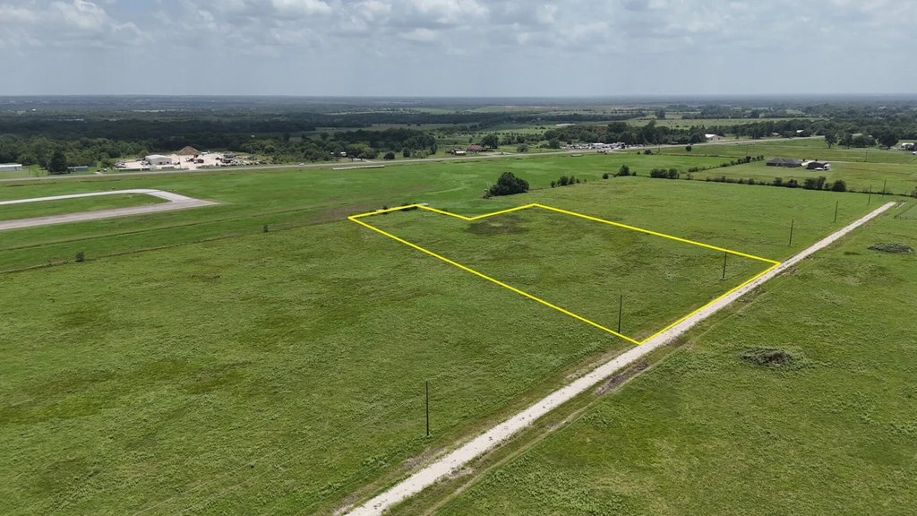
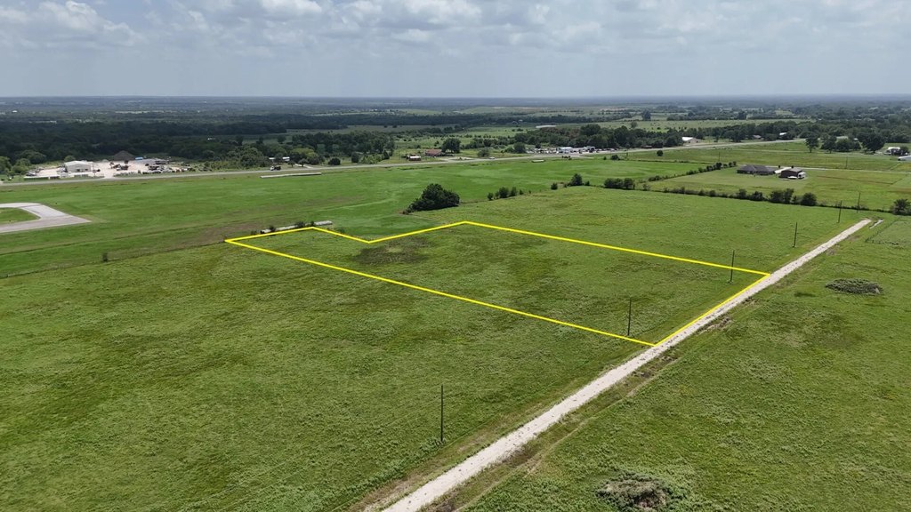
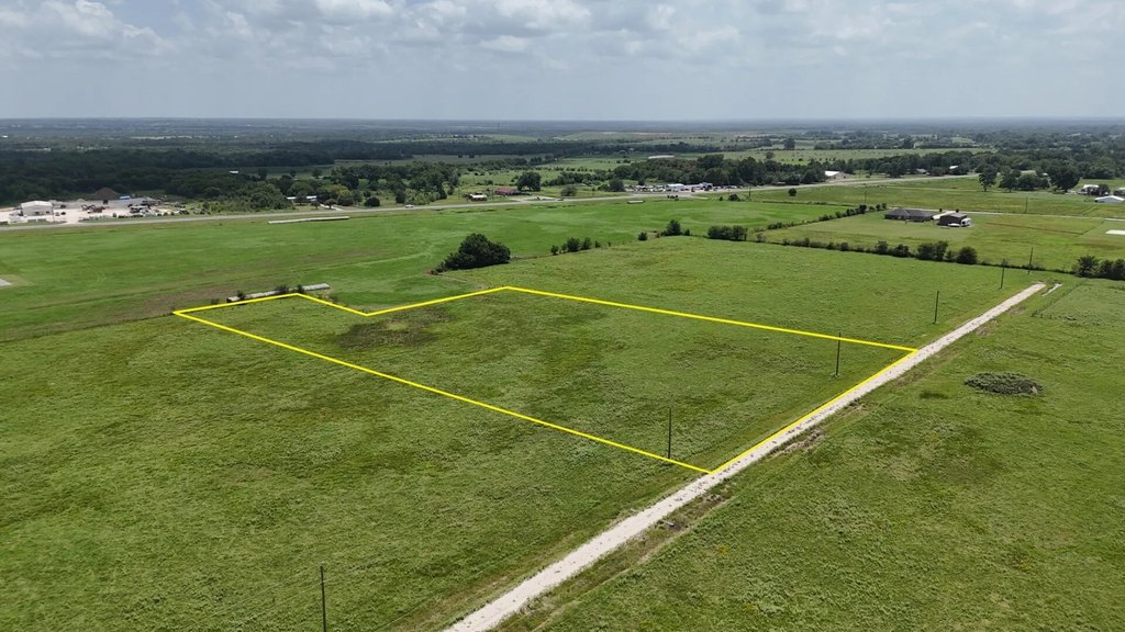
Lot Size3.31 Acres
Days on Market35
Property Features for P2L18 County Road 463
General Information
- Property type
- Land
- Property subtype
- Other
- Standard status
- Active
- APN
- R138364
- Lot size
- 3.31 Acres
Taxes and HOA fees
- Tax Description
- MURPHY'S DAIRY SUBDIVISION - PHASE 2 LOT 018
- Tax Annual Amount
- 7
Listing agency
Central Metro Realty
(512) 454-6873
Listed by
Xing Gao · License #0822975
(512) 454-6873
Added: Jun 17 Checked: Jul 21 at 1:06PM
MLS# 21207571
Copyright © 2026 North Texas Real Estate Information Systems, Inc. All rights reserved. All information provided by the listing agent/broker is deemed reliable but is not guaranteed and should be independently verified.
Investment Insights
Based on property information with market context.
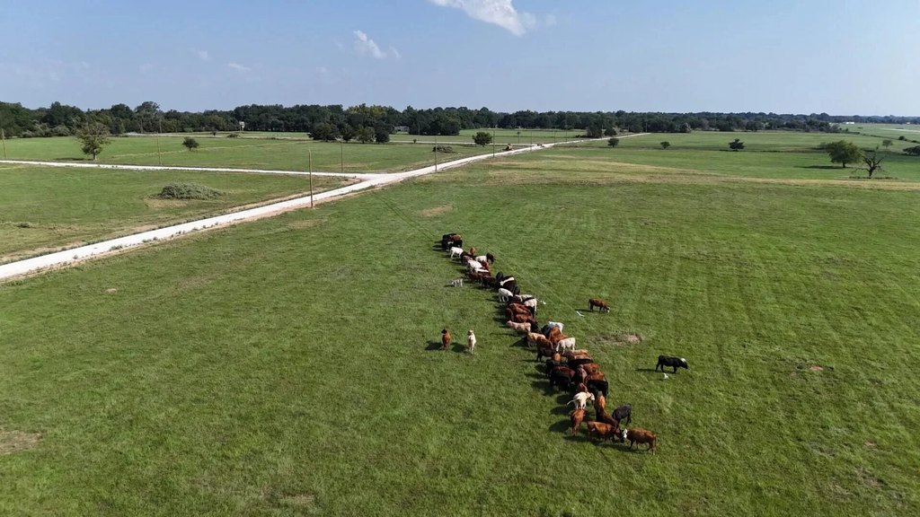
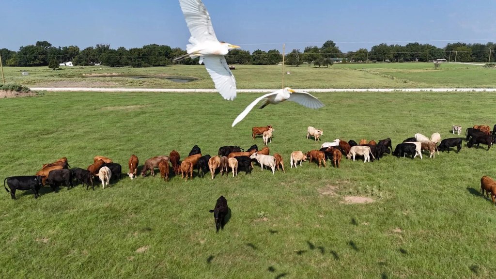
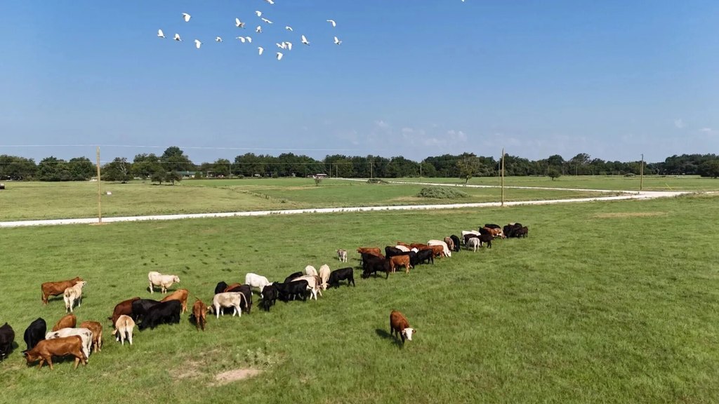
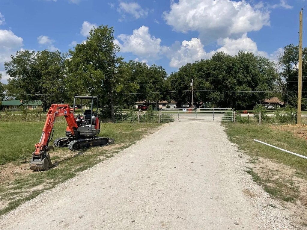
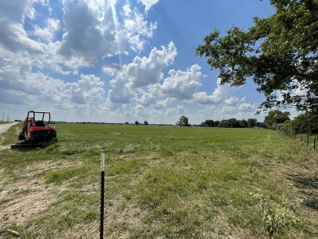
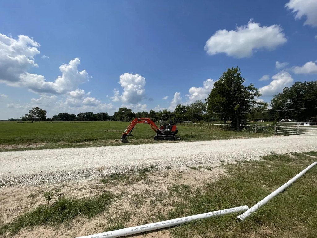
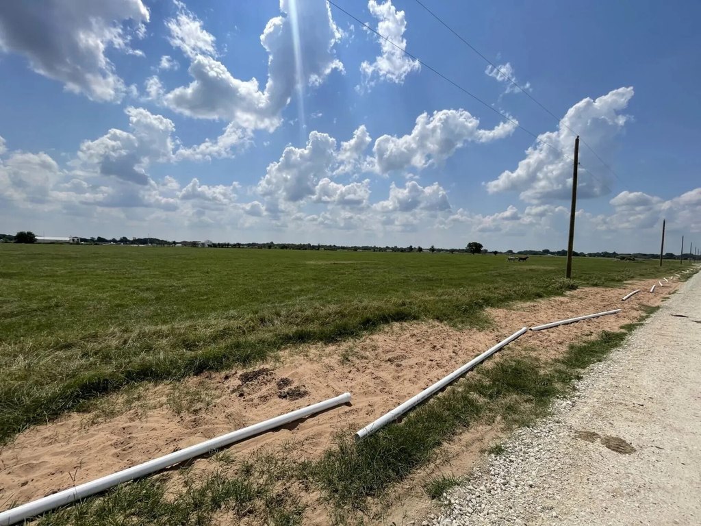
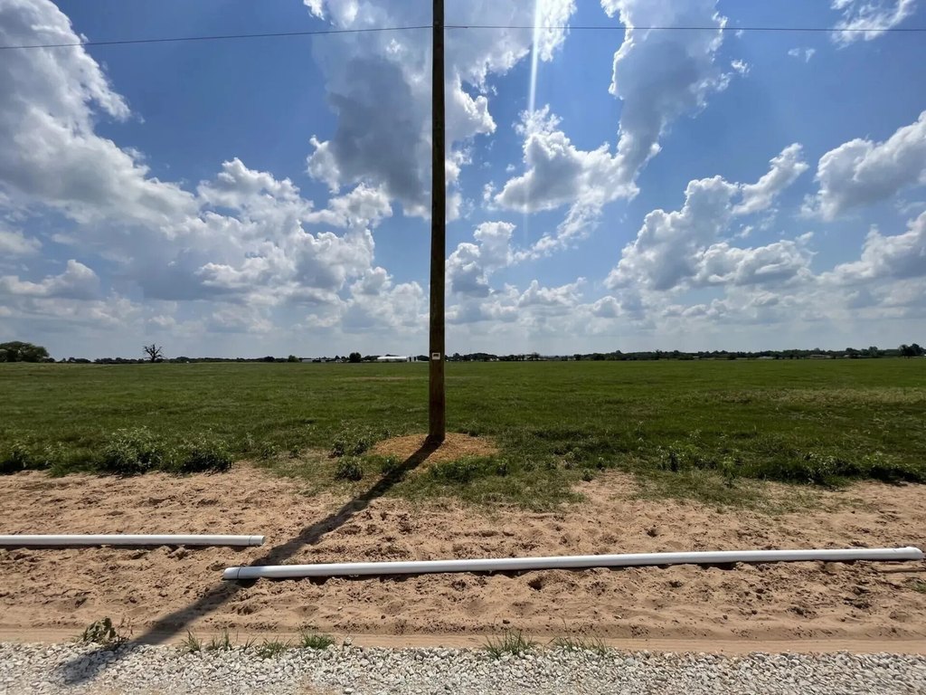
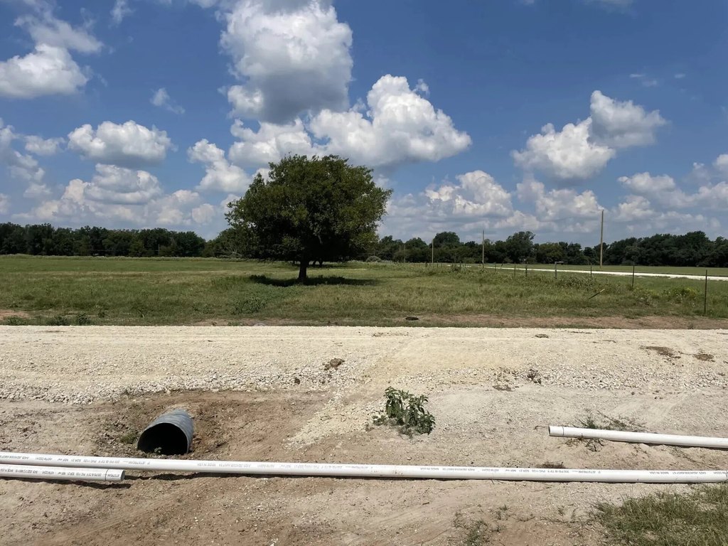
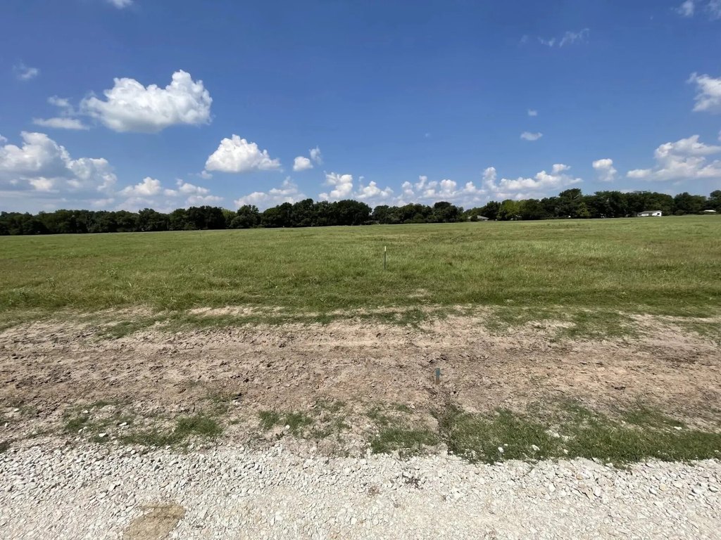
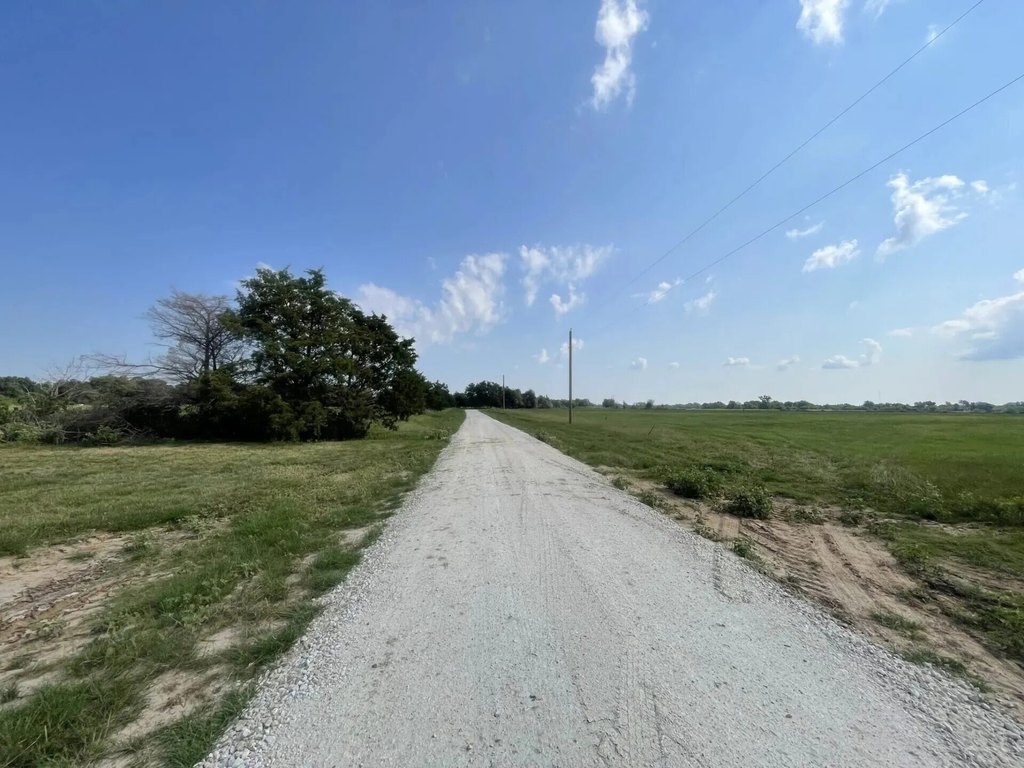
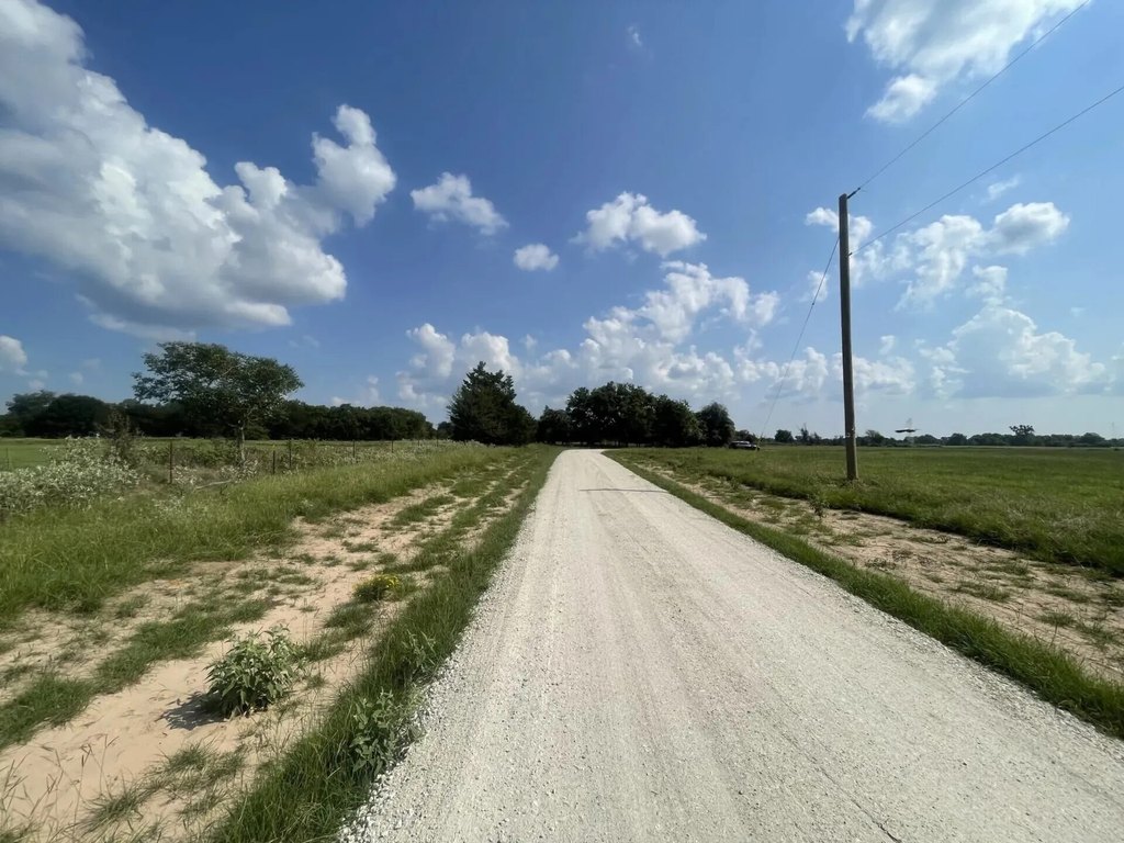
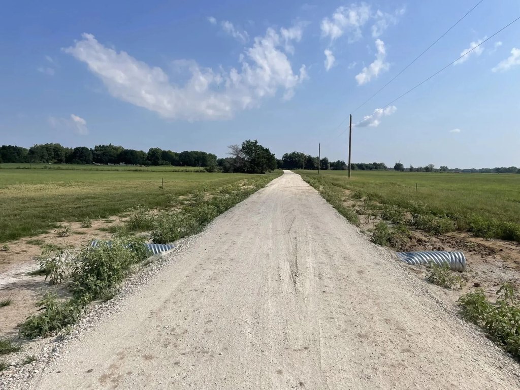
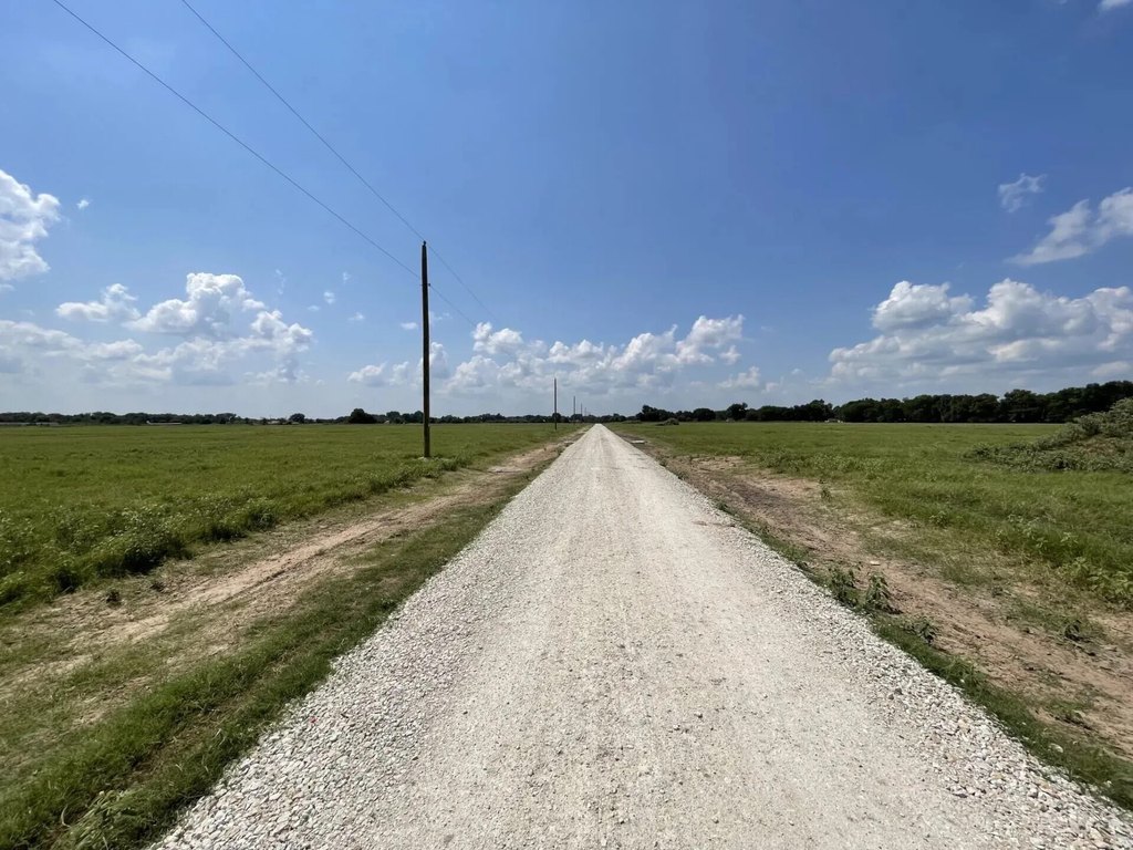
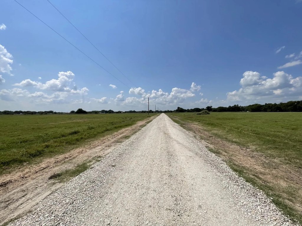
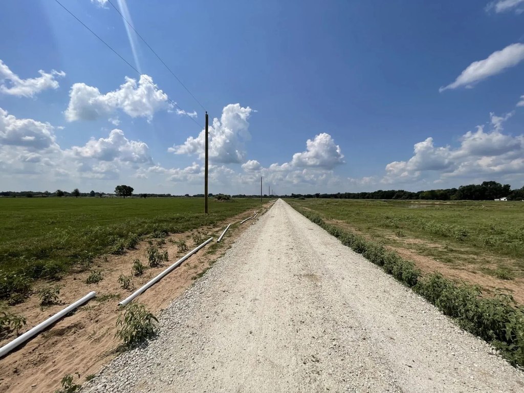
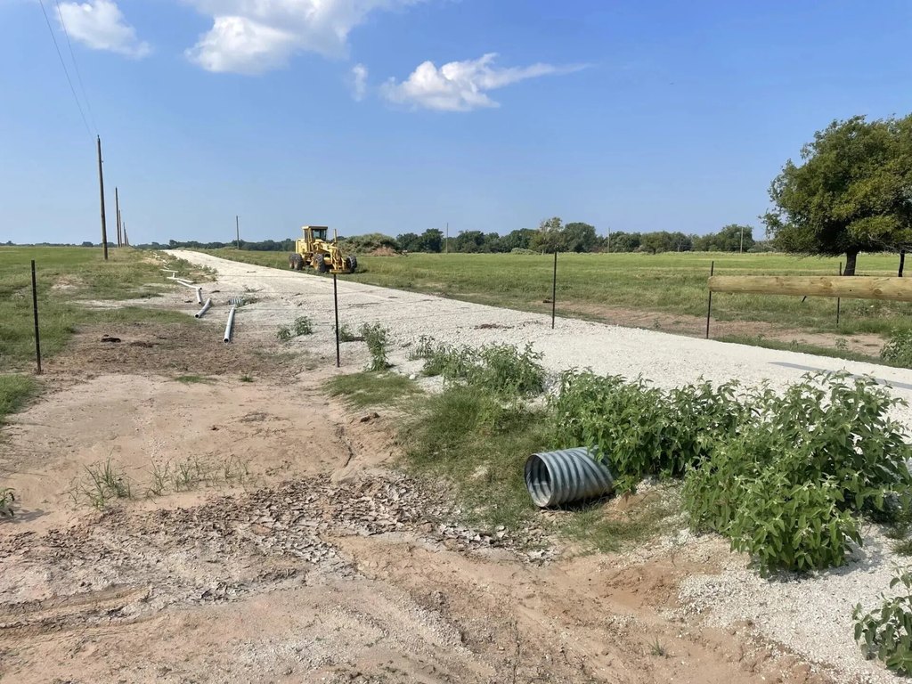
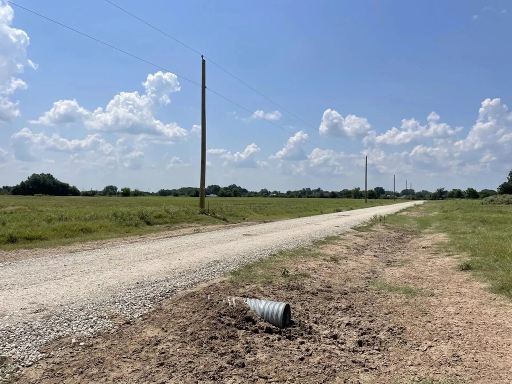
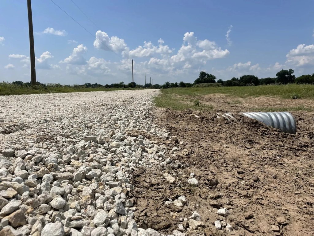
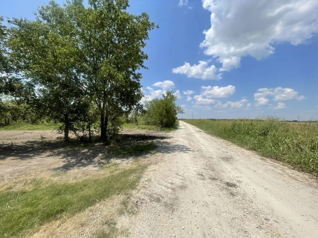
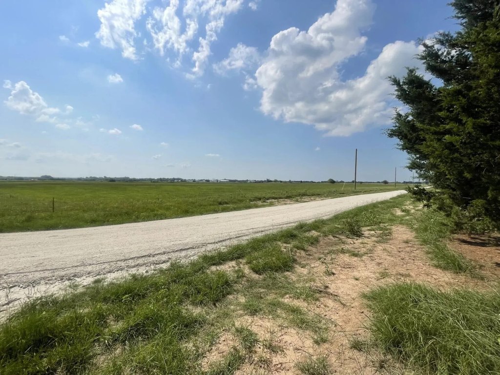
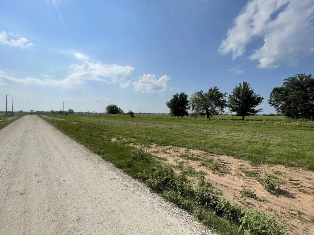
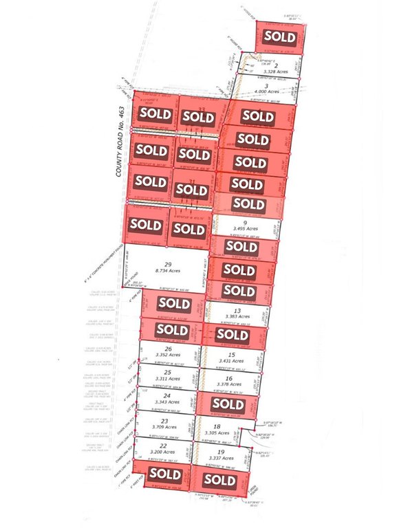
Located in Mexia, TX, this newly platted Murphy’s Dairy Subdivision offers spacious 3-acre+ home and agricultural lots designed for straightforward development. Each lot is perc-tested and presented as a flat, build-ready site, with light covenants intended to help protect property values while keeping the community flexible for different rural uses.
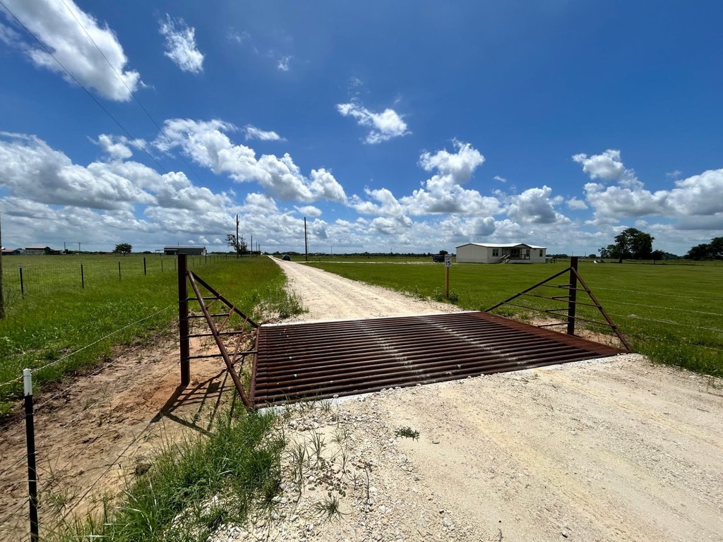
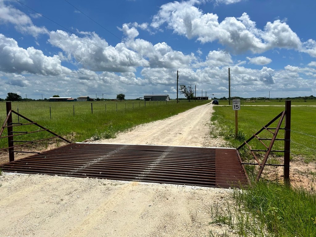
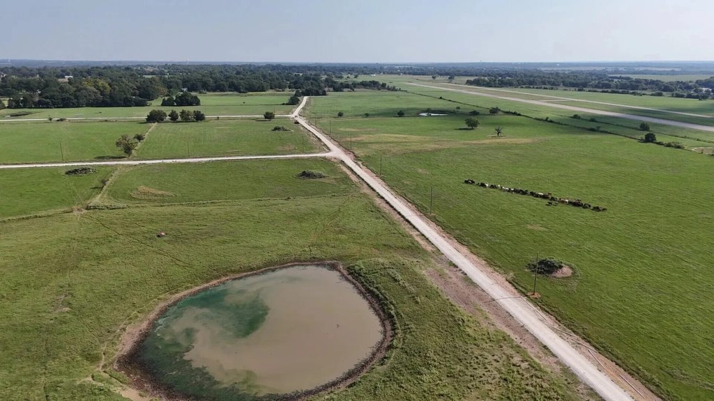
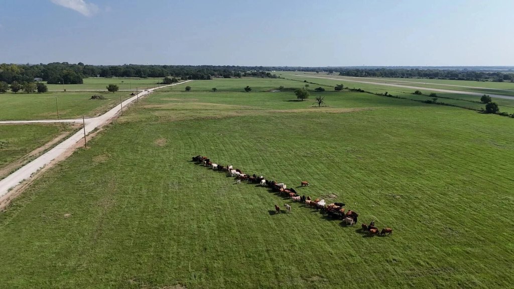
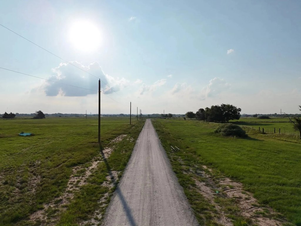
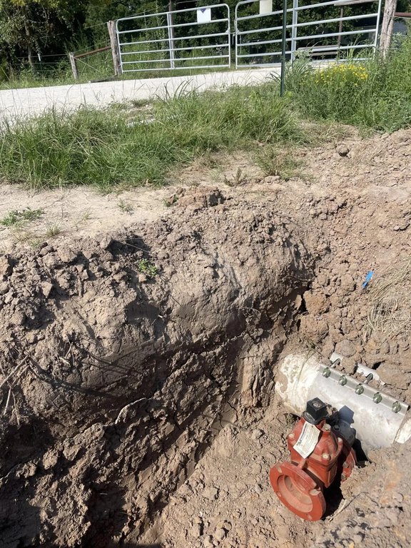
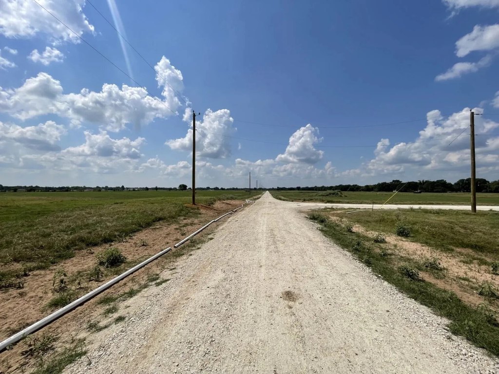
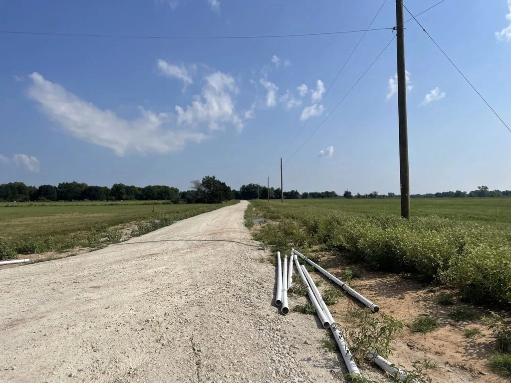
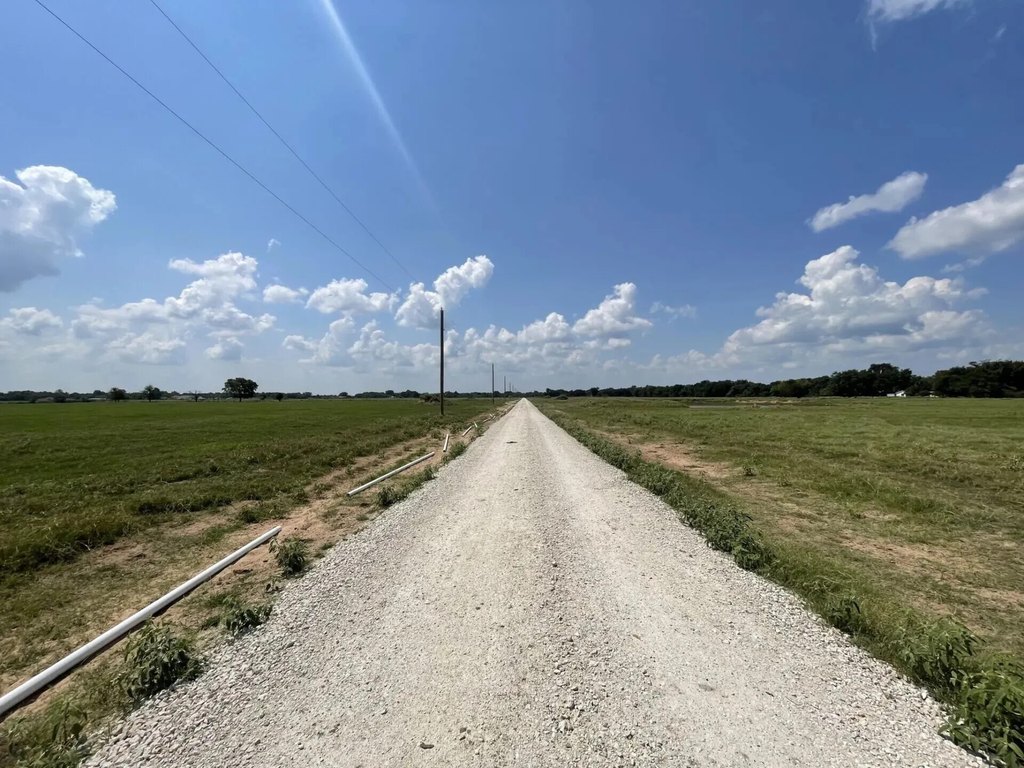
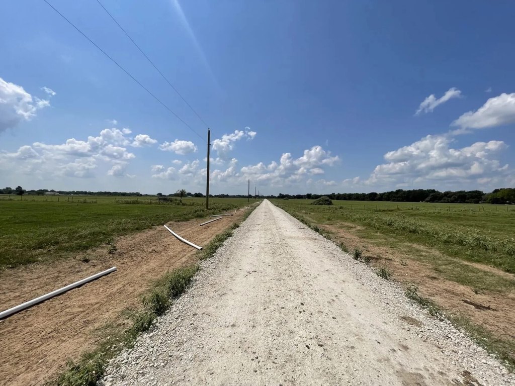
The subdivision includes a newly engineered 6,200-foot private road, supporting practical access for property owners. Utility setup is also planned in advance, with pre-paid electric service that includes a credit toward line extension into a new owner’s lot, plus low tap fees to activate a water meter for service. Approved septic options include conventional or aerobic systems, making site planning easier for prospective builders.
This acreage is well suited for buyers seeking residential, ranching, or agricultural use in a quiet, development-ready environment. With excellent cell coverage and the potential for agricultural tax benefits as noted by the subdivision, it offers a balanced approach for those wanting rural living with utilities and development requirements addressed up front.
Key Highlights
- Newly platted Murphy's Dairy Subdivision with 3‑acre+ lots for residential and agricultural living
- Each lot is perc‑tested and offers a flat, build‑ready site
- Newly engineered 6,200‑foot private road within the subdivision
Property Analytics
Property Profile
Location Intelligence
Current Use by Public Records
Residential land & home ...
Similar For Sale Nearby


FAQs
What type of property is this?
Residential land & home lot - Develop spacious, flat lots with perc-tested sites, utility planning support, and an engineered private road in a low-covenant setting.
Where is this residential land & home lot located?
The property is located at P2L18 County Road 463 Mexia, TX.
What is the asking price?
The asking price for this property is $60,900.
What are key features of this property?
This property features: Newly platted Murphy's Dairy Subdivision with 3‑acre+ lots for residential and agricultural living; Each lot is perc‑tested and offers a flat, build‑ready site; Newly engineered 6,200‑foot private road within the subdivision


