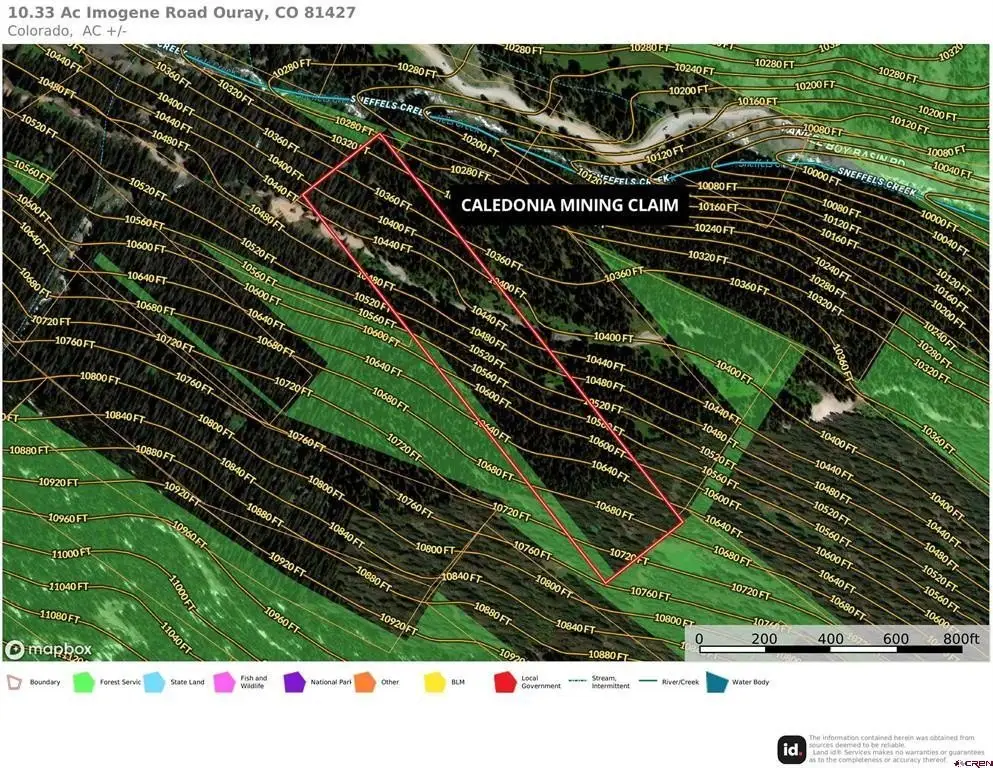
10.33 Ac Imogene Road, Ouray, CO 81427
- Added:
- Jun 23, 2026
- Days on Market:
- 1
- Last Refresh:
- Jun 23 at 4:06 am
Property Features for 10.33 Ac Imogene Road
General Information
- Property type
- Land
- Property subtype
- Other
- Standard status
- Active
- Lot size
- 10.33 Acres
Utilities
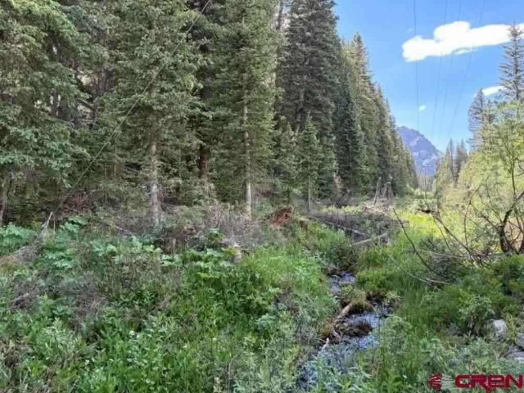
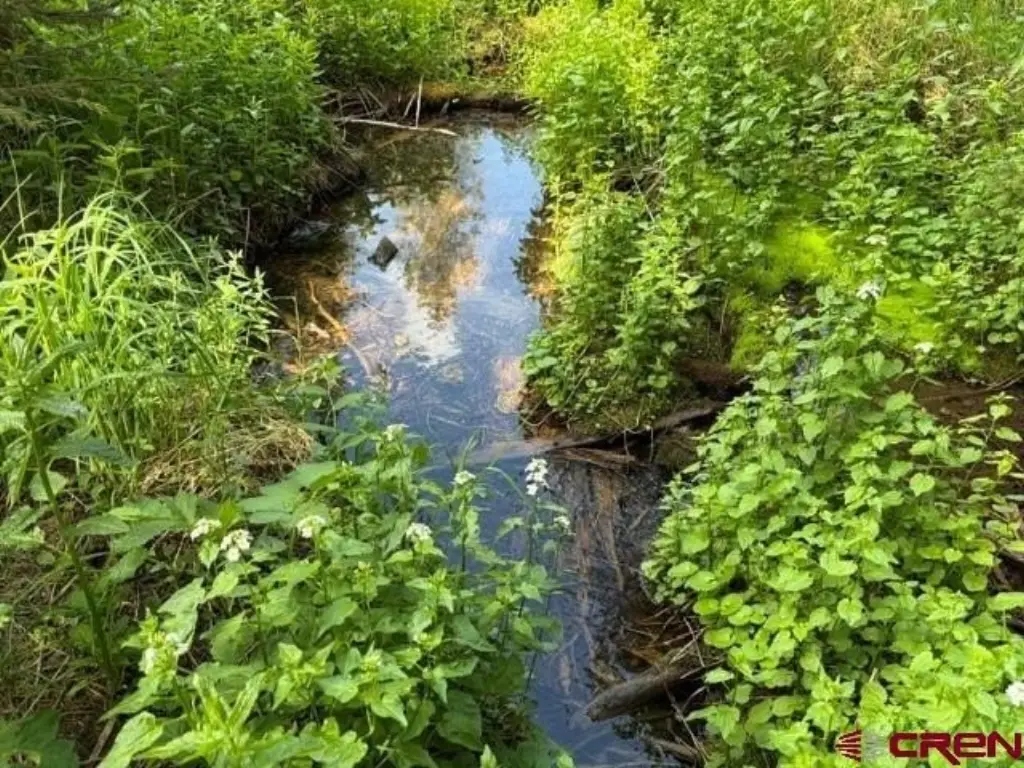
- Water front
- 1

Listing agent Todd Schroedel License #ER40026092 (970) 318-2160
Listing office United Country Sneffels Realty Ridgway, CO (970) 626-3555
Listing date Jun 23, 2026
Copyright © 2026 Colorado Real Estate Network Inc. All rights reserved. All information provided by the listing agent/broker is deemed reliable but is not guaranteed and should be independently verified.
HighLights
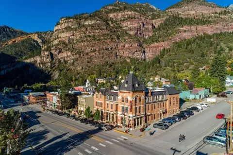
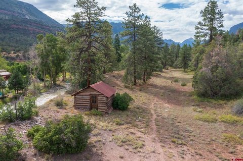
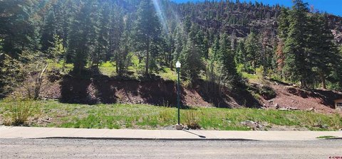
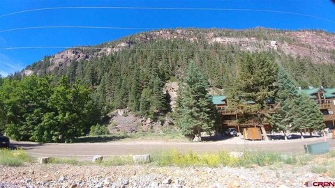
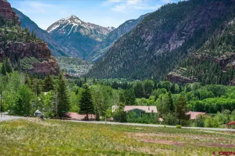
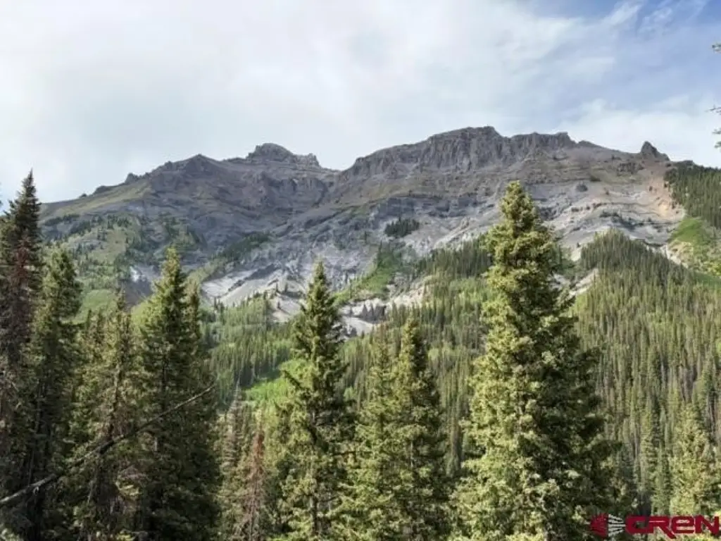
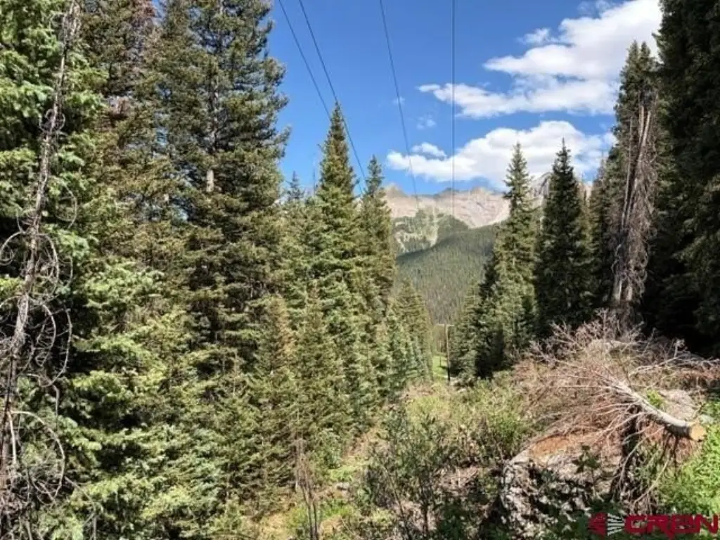
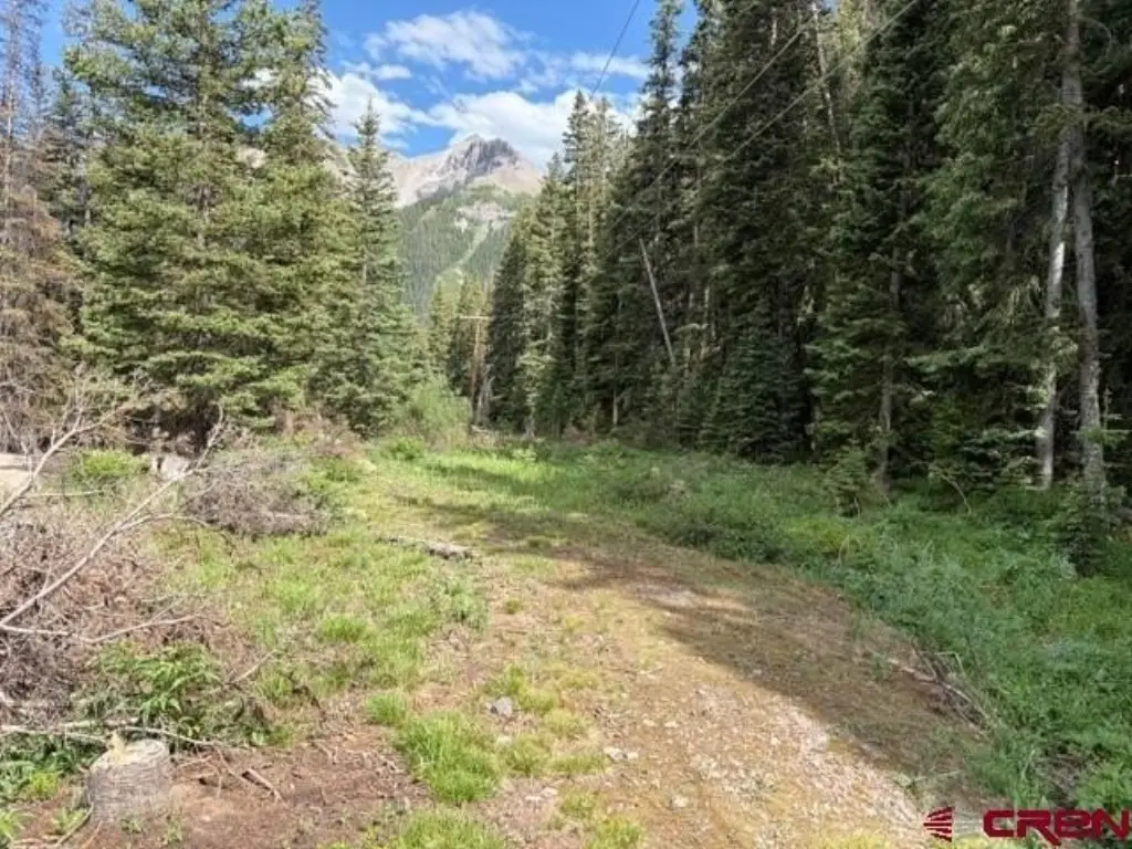
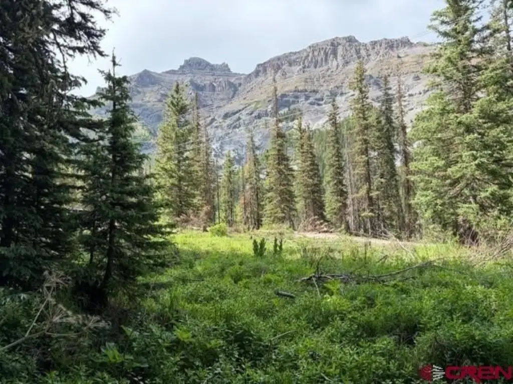
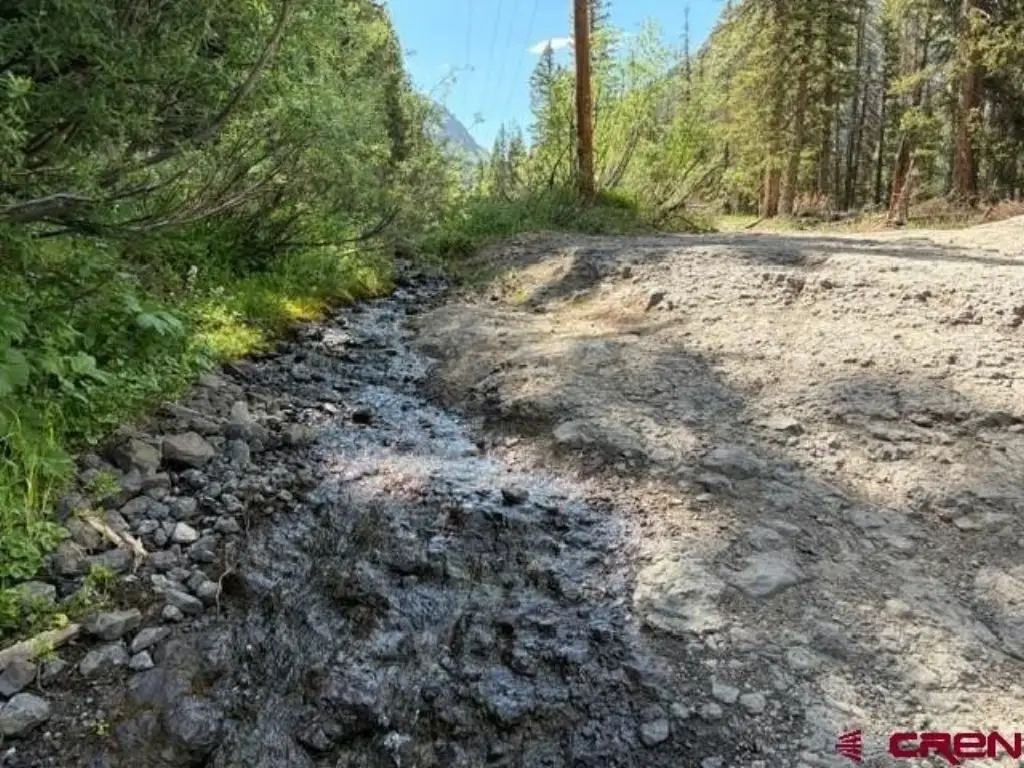
- High mountain property in Ouray County at 10,500 ft elevation
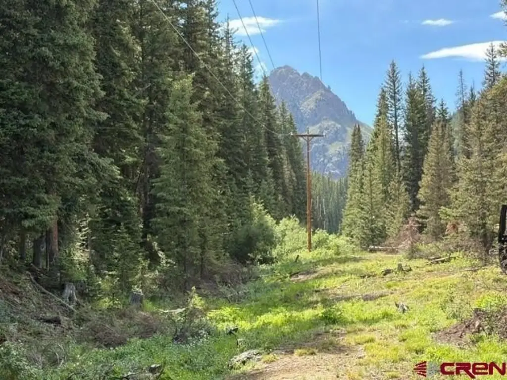
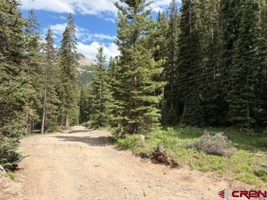
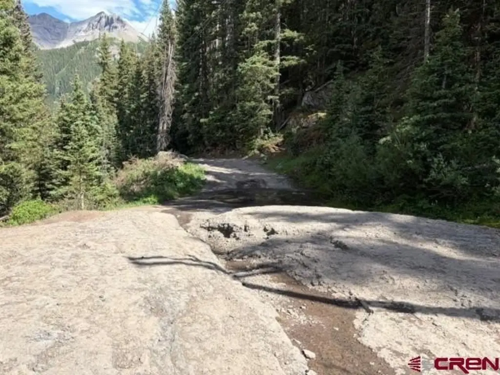
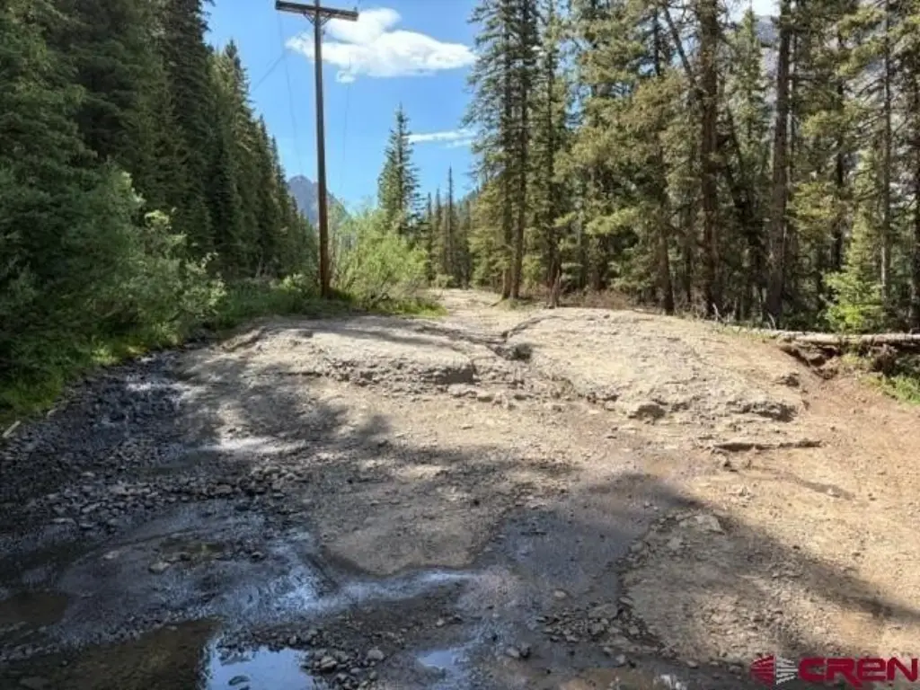
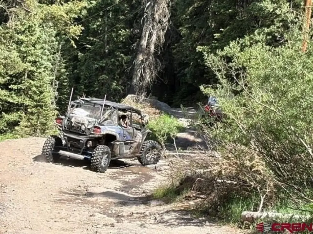
- Located on a Jeep trail in the San Juans, across the bridge crossing Sneffels Creek toward Yankee Boy Basin
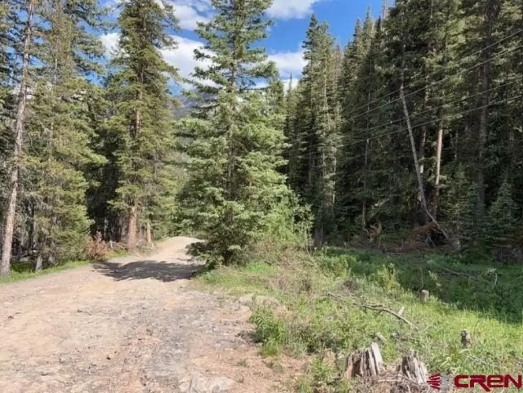
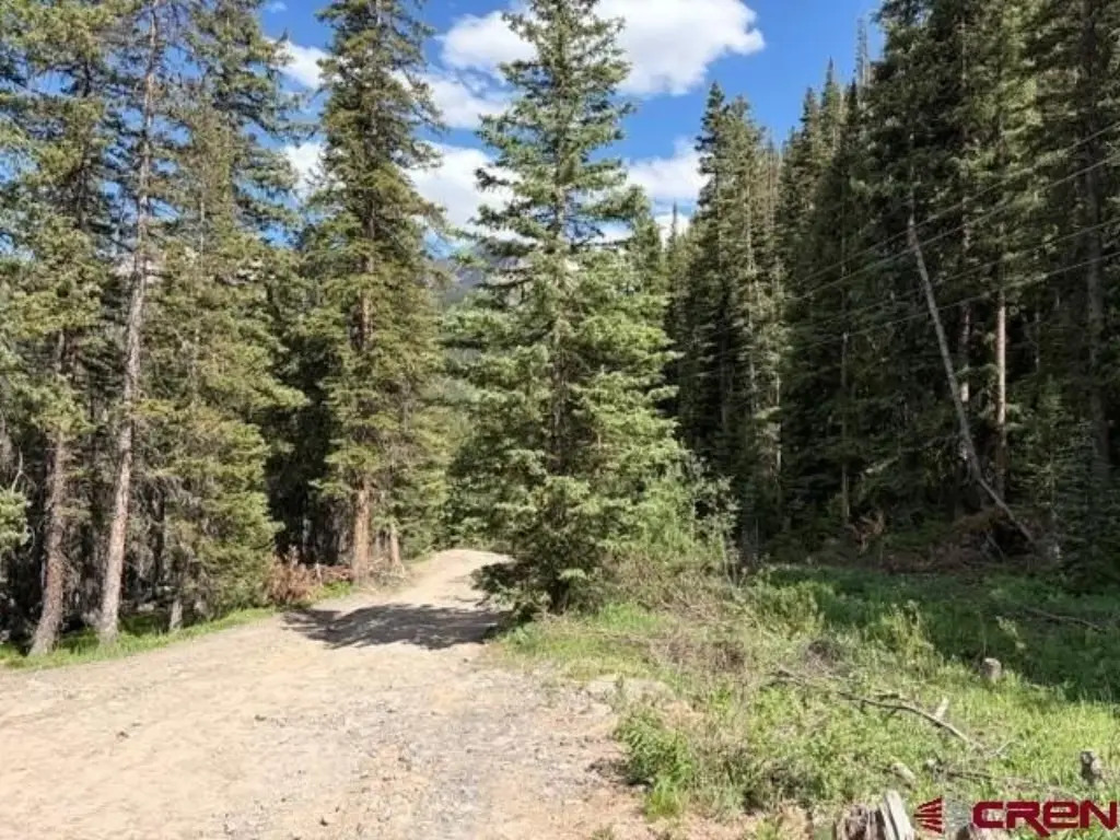
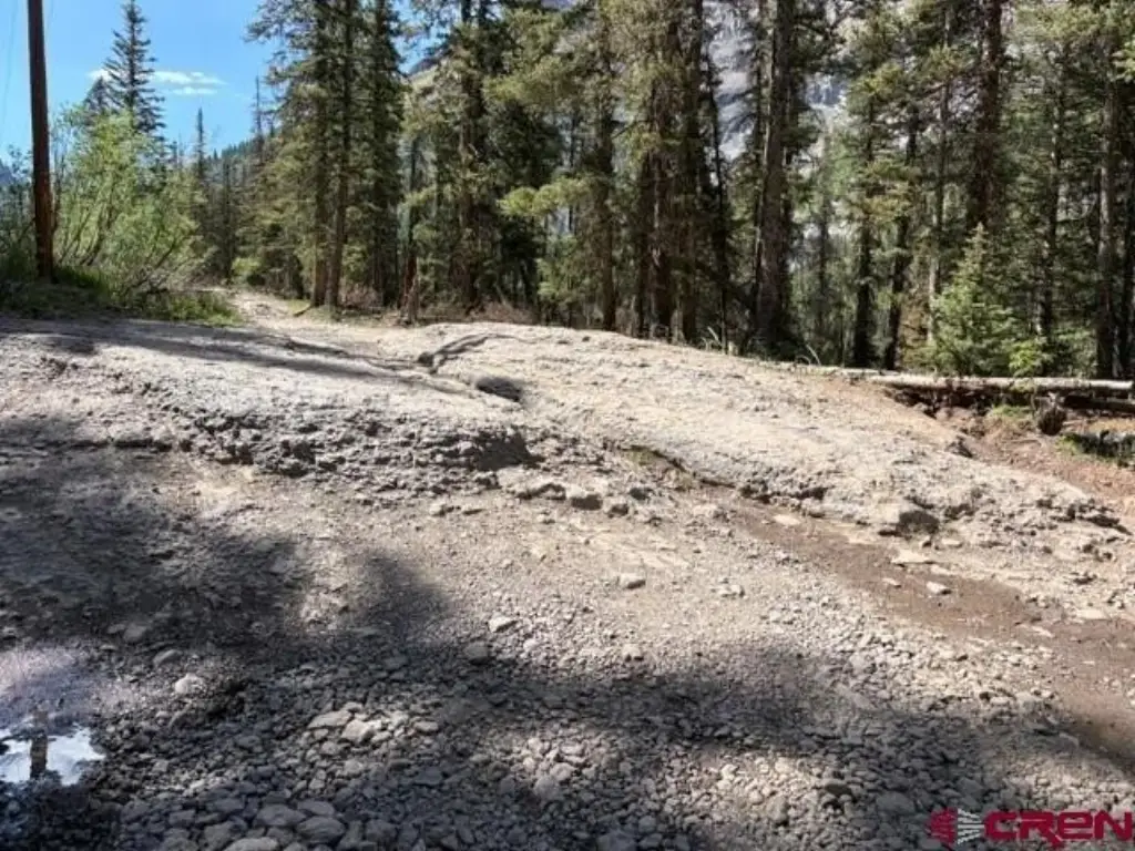
- Property begins 0.4 mile down the road from the bridge; access road is described as rough
- Legal access via an Ouray County road runs through the property from roughly May 15 through November 15
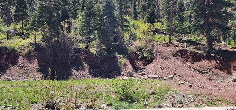
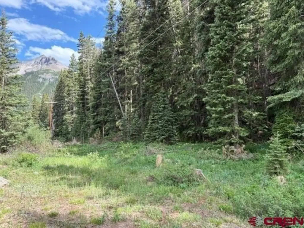
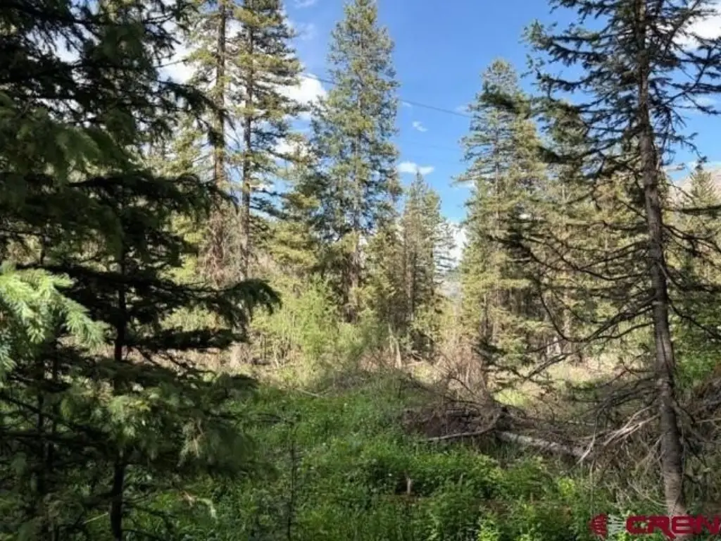
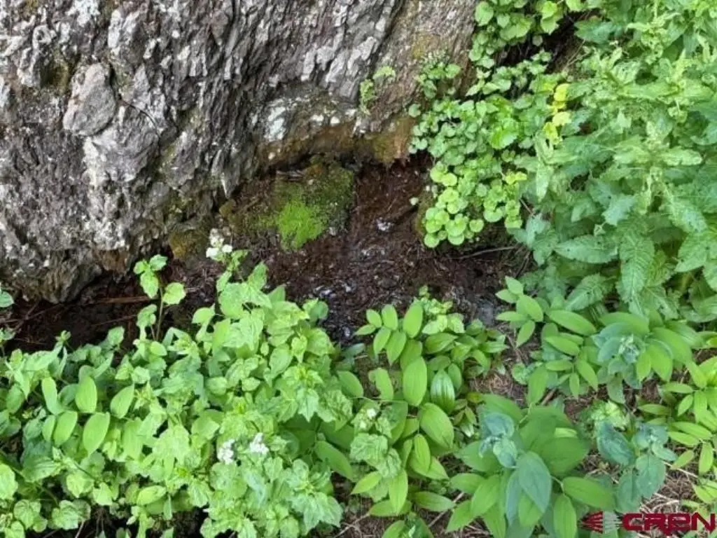
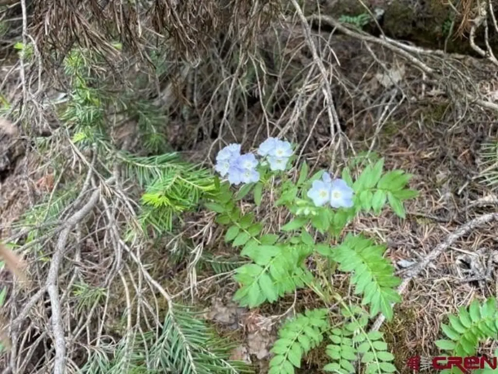
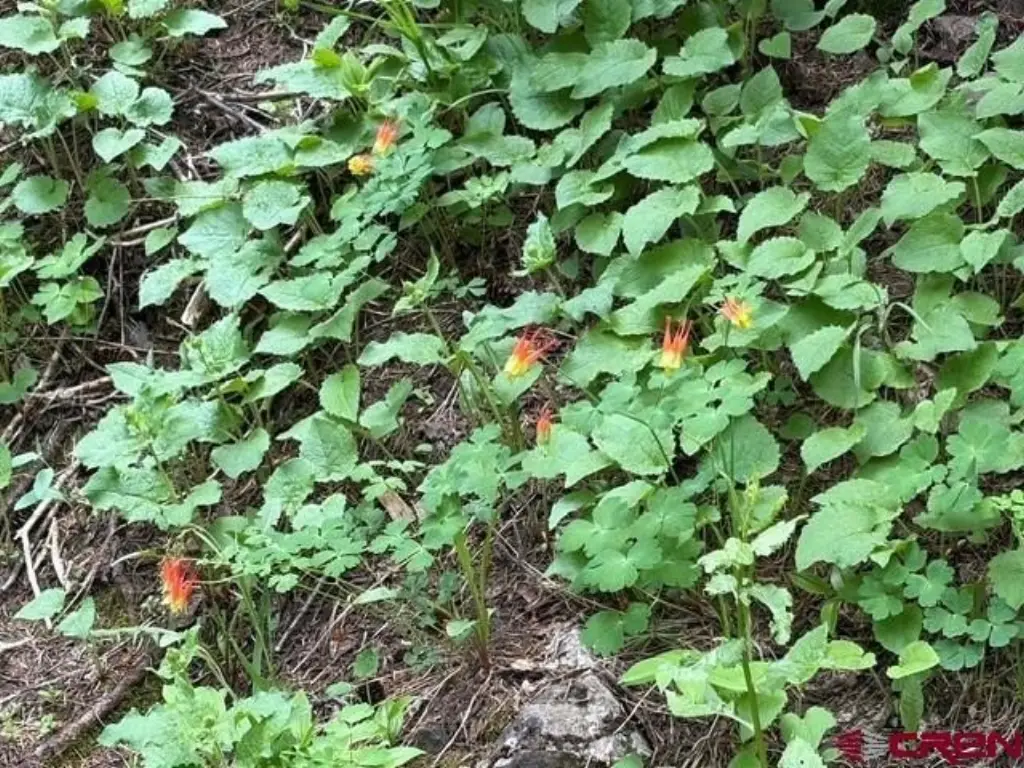
- Terrain features a relatively level main core with sections trending NW and SE on the ends
- Vegetation includes a mix of spruce, firs, and pines
Overview
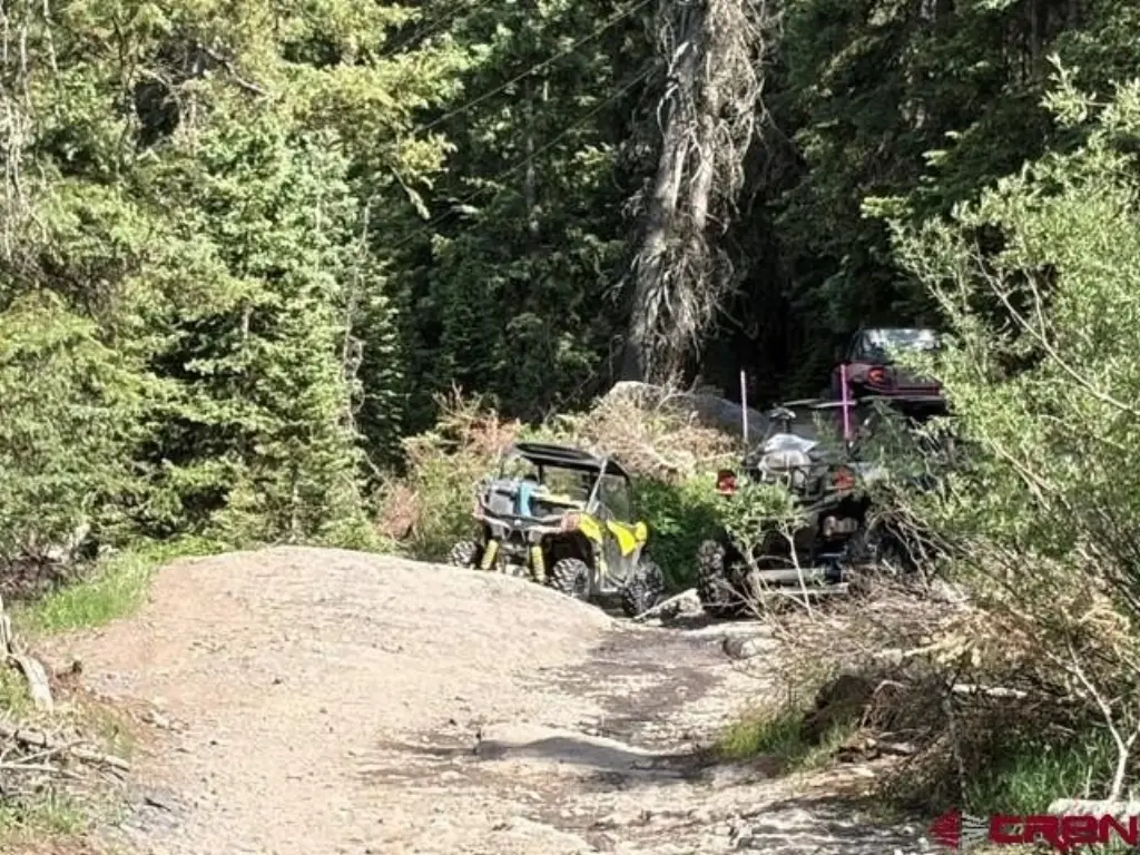
The listing emphasizes dependable legal access via an Ouray County road running through the property. Seasonal use is described from roughly May 15 through November 15, with vehicle access available during that window. The land is also positioned along a well-known Jeep trail route in the San Juan Mountains, near the way up toward Yankee Boy Basin, and with continuing connections described toward Imogene Basin and onward routes.
For buyers looking for mountain acreage with road access and flexibility for outdoor recreation staging, camping, or building plans, this property’s described road-through access is the central consideration. It may also appeal to buyers interested in claim-based land use concepts where placement of structures such as an RV, yurt, wall tent, or storage/cabin structures is part of the intended plan, subject to applicable regulations.
Current Use by Public Records
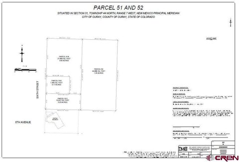
Map
- City
- Ouray
- County
- Ouray
- State
- Colorado
- Longitude
- -107.7379851
- Latitude
- 37.97099615