Wooded Hunting Land With
For Sale
$172,500
Oregon Co. 142-255, Thayer, MO 65791
Land, Thayer, MO
Property SizeContact for details
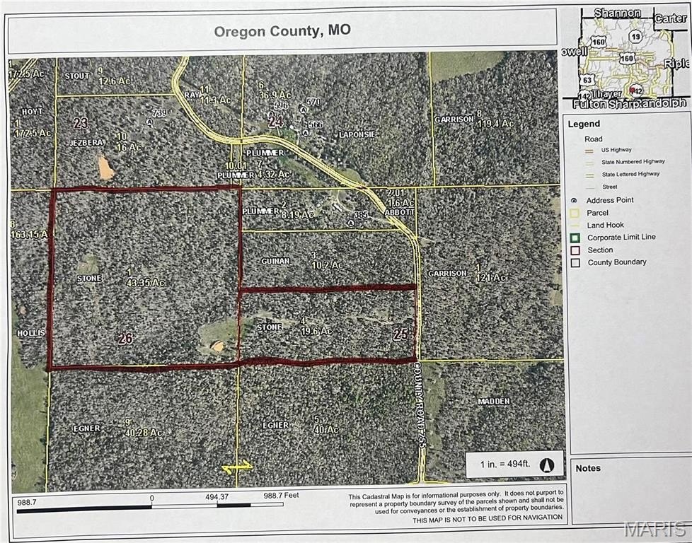
Lot Size63.00 Acres
Days on Market174
Property Features for Oregon Co. 142-255
General Information
Property type
Land
Property subtype
Other
Zoning
Agricultural
Lot features
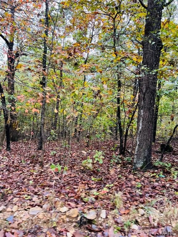
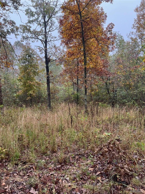
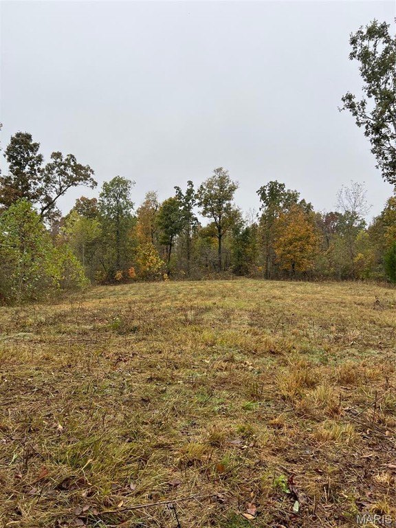
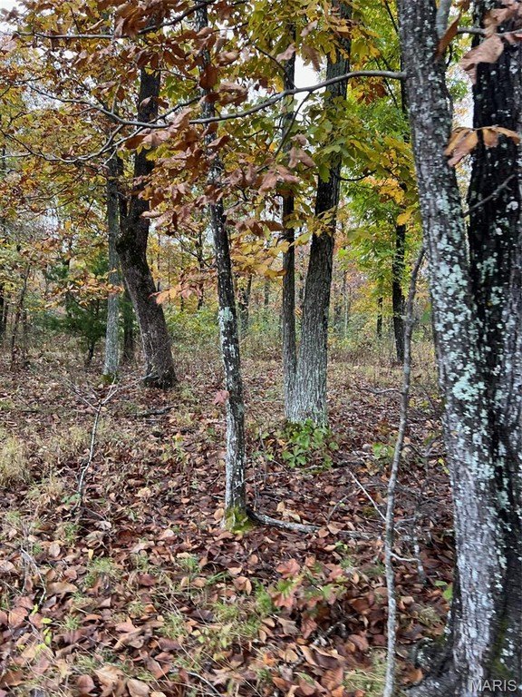
Gently Rolling, Wooded
Elementary school
Couch Elem.
Middle school
Couch High
High school
Couch High
Elementary school district
Couch R-I
Middle school district
Couch R-I
High school district
Couch R-I
Directions
142 from Thayer 10 miles turn left at 142-255 property on left 1/4 mile or so. Sign on Property.
Standard status
Active
APN
0222270260000000100000
Lot size
63.00 Acres
Taxes and HOA fees
Tax Year
2021
Tax Annual Amount
40
Listing Agency:
Collins & Associates
(573) 996-4600
Listed By:
Diane Garrett
(573) 707-4106
Added: Apr 28
Changed: Sep 25
Last Checked: Oct 18 at 7:06PM
MLS# 25072914
Copyright © 2026 Mid America Regional Information Systems, Inc. All rights reserved. All information provided by the listing agent/broker is deemed reliable but is not guaranteed and should be independently verified.

Ask AI about this property
Review the available facts, identify missing information and prepare questions for the agent.
Investment Insights
Based on property information with market context.
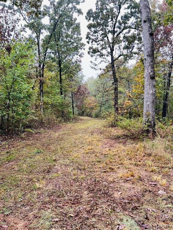
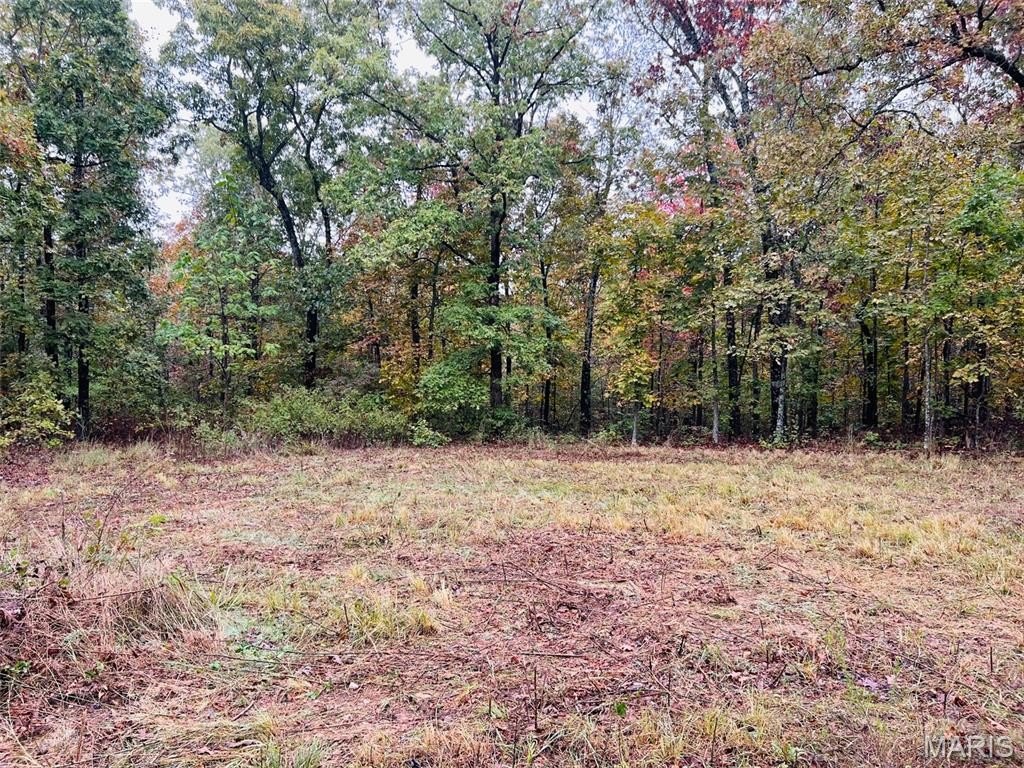
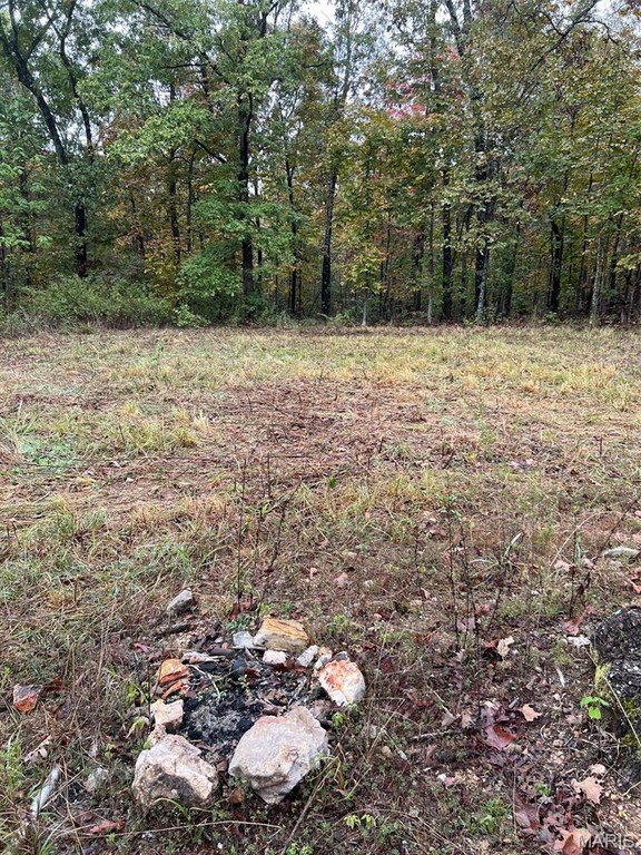
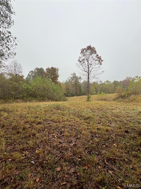
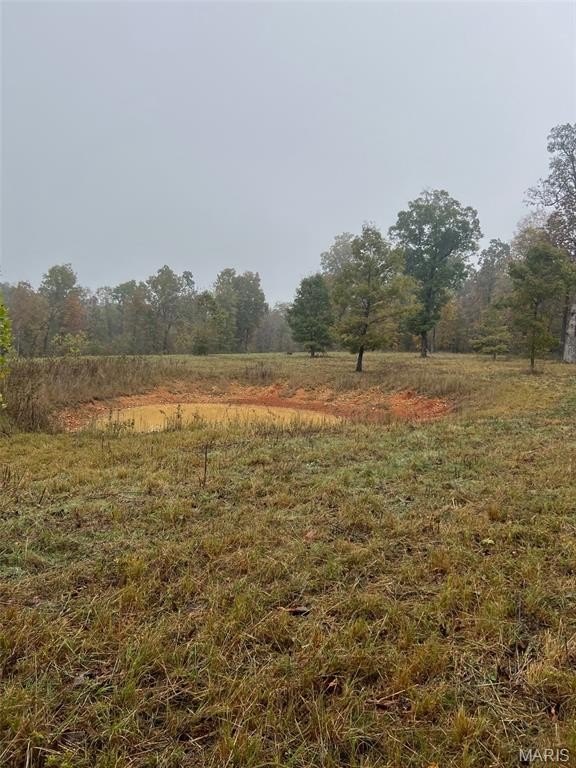
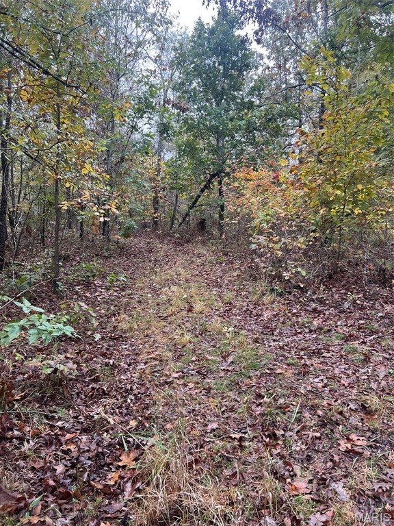
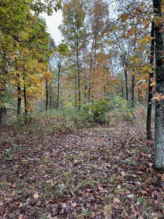
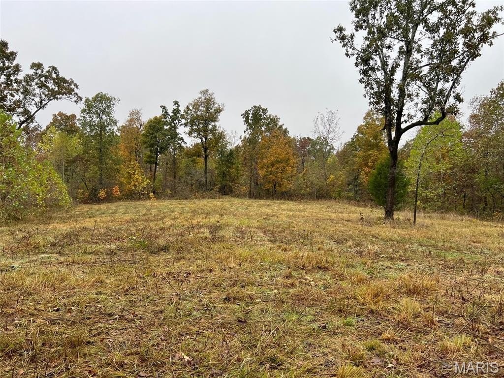
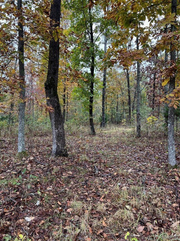
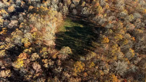
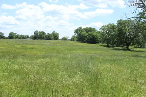
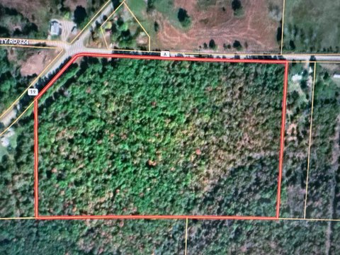
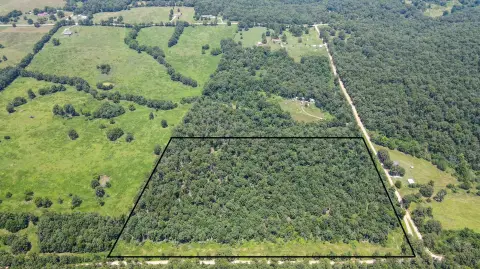
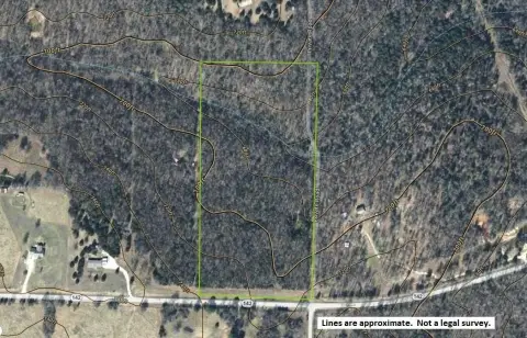
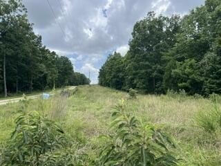
This 63-acre off-grid hunting property combines wooded terrain with open grassy areas and a pond. The mix of cover and clearings supports outdoor recreational use, while the pond provides a water source for local wildlife, including deer and turkey. Agricultural zoning applies to the property.
Access is provided by a well-maintained county road, with frontage for entry. The property lies along the Missouri-Arkansas border, approximately 10 miles from both Thayer, Missouri, and Mammoth Spring, Arkansas. Its location offers a rural setting while remaining within reach of both communities.
Access is provided by a well-maintained county road, with frontage for entry. The property lies along the Missouri-Arkansas border, approximately 10 miles from both Thayer, Missouri, and Mammoth Spring, Arkansas. Its location offers a rural setting while remaining within reach of both communities.
Key Highlights
- 63 acres of off‑grid hunting land
- Mix of trees and open grassy clearings
- Pond provides water for deer and turkey
Property Analytics
Current Use
Lease Details
Yes
Paved road access
Location Intelligence
Demographics for 65791, MO
4,085
Population
1,904
Households
2.1
Avg Household Size
44
Median Age
18%
College-Educated
86%
High-School Grad
152.8 sq mi
ZIP Area
27
Density / Sq Mi
$43,614
Median Household Income
$30,594
Median Earnings
$660
Median Rent
$110,200
Median Home Value





Frequently Asked Questions
What type of property is this?
Hunting land - Agricultural-zoned recreational acreage with wooded areas, grassy clearings, a pond, and access from a maintained county road.
Where is this hunting land located?
The property is located at Oregon Co. 142-255 Thayer, MO.
What is the asking price?
The asking price for this property is $172,500.
What are key features of this property?
This property features: 63 acres of off‑grid hunting land; Mix of trees and open grassy clearings; Pond provides water for deer and turkey


