Multi-Parcel Development
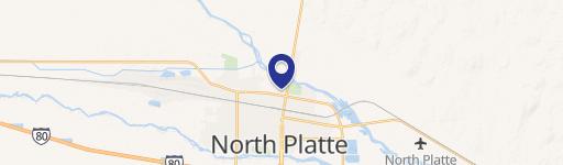
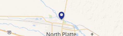
S Buffalo Bill Development North Platte, NE 69101

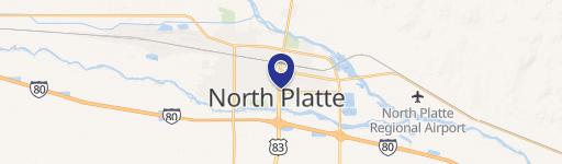
S Buffalo Bill Development, North Platte, NE, 69101
$3,292,650
For Sale
$3,292,650
LAND - North Platte, NE
Lot Size205.00 Acres
Days on Market311
Property Features for S Buffalo Bill Development
General Information
- Property type
- Land
- Property subtype
- Other
- Standard status
- Active
- Lot size
- 205.00 Acres
Listing Agency
Lashley Land and Recreational Brokers
(308) 532-9300
2218 E. Walker Road, North Platte, NE
Listed by
Jordan Maassen
(308) 532-9300
Added: Sep 12, 2025 Checked: Jul 19 at 4:06 am
MLS# 11573953
Listing URL
Copyright © 2026 My State MLS. All rights reserved. All information provided by the listing agent/broker is deemed reliable but is not guaranteed and should be independently verified.
Investment Insights
Based on property information with market context.
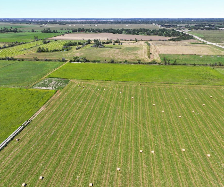
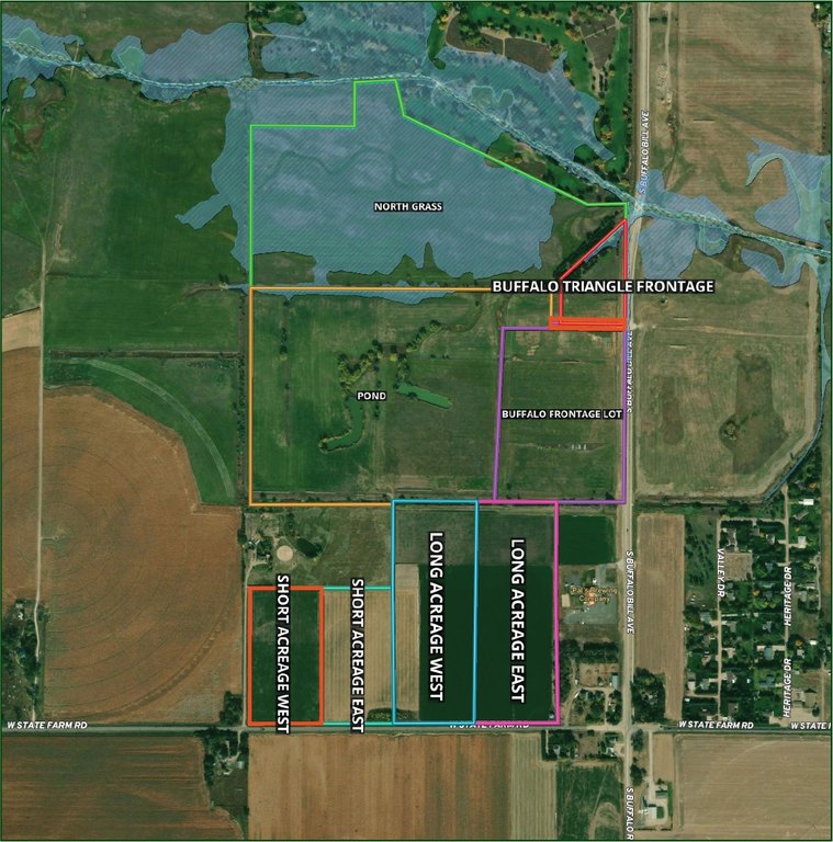
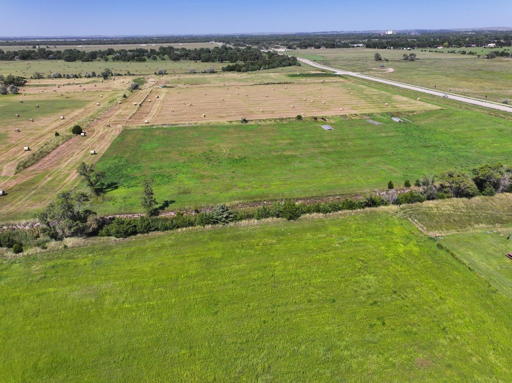
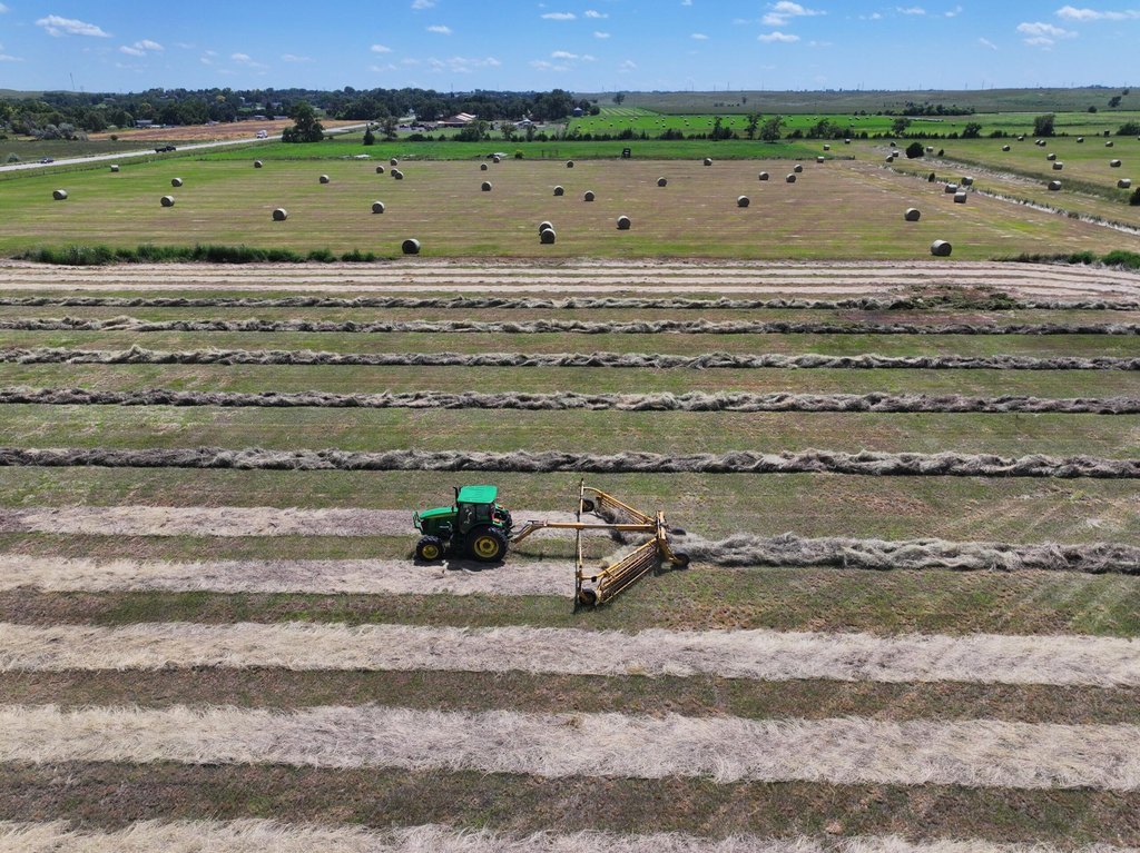
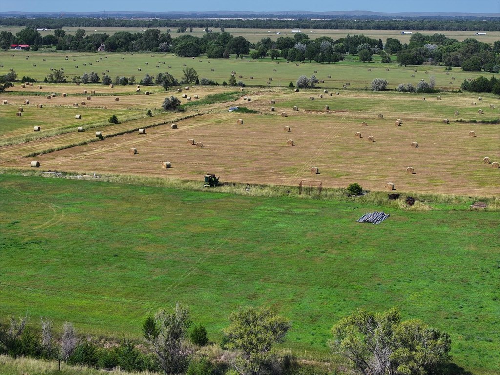
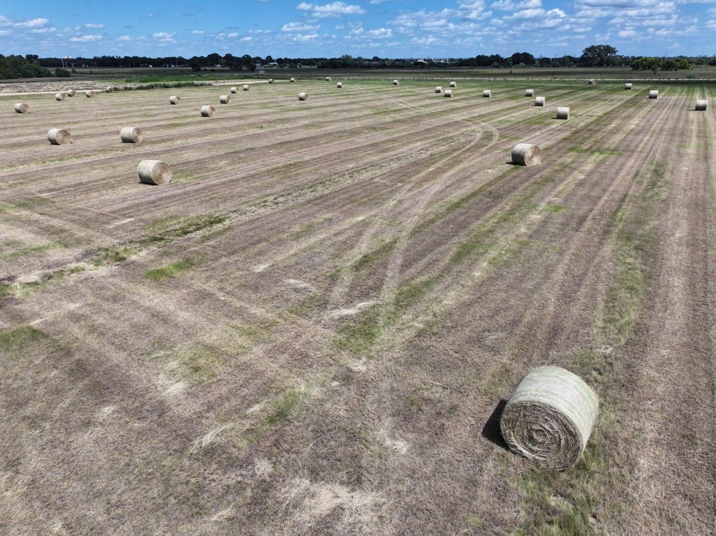
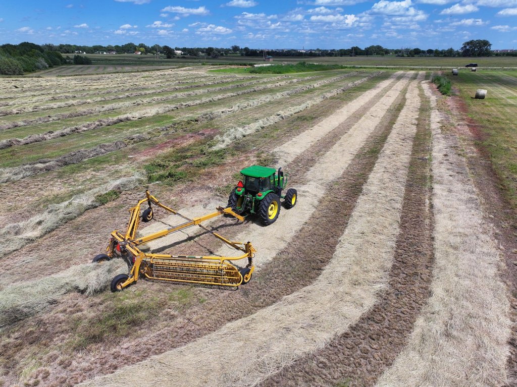
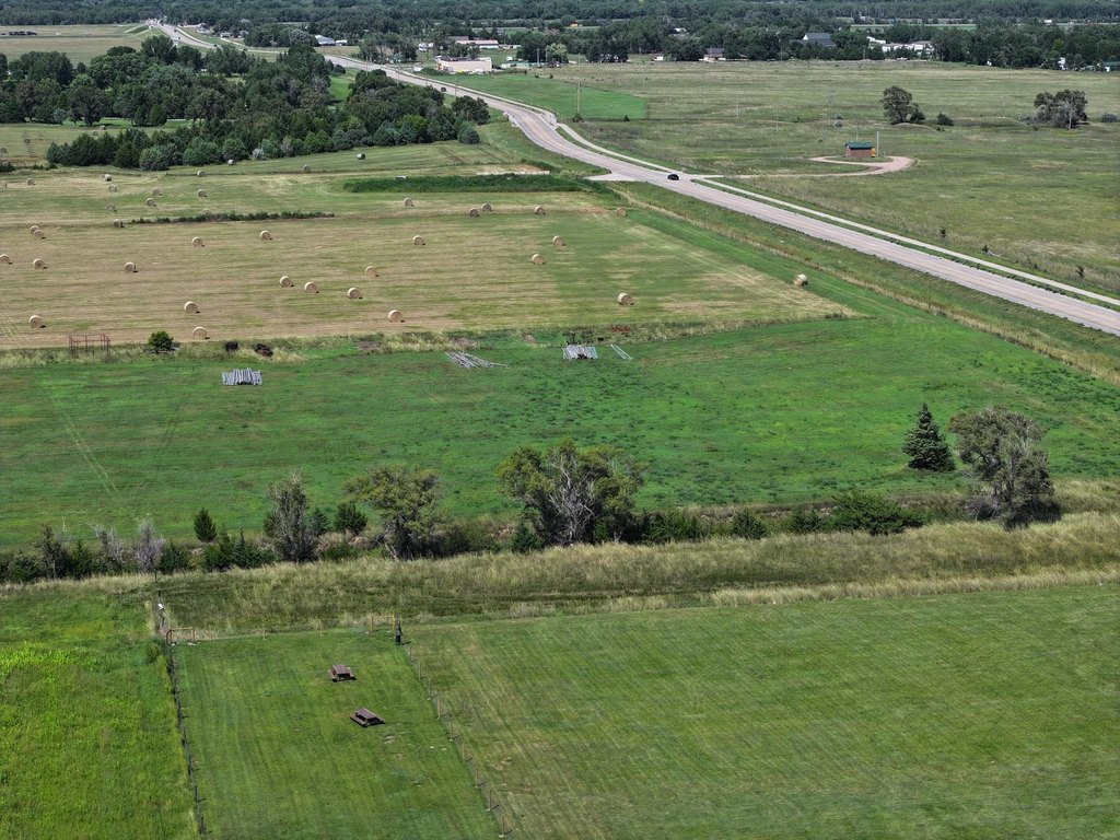
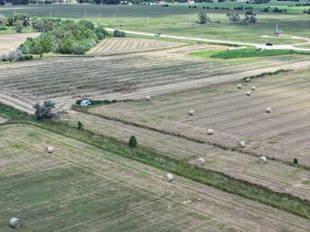
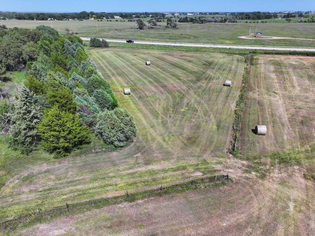
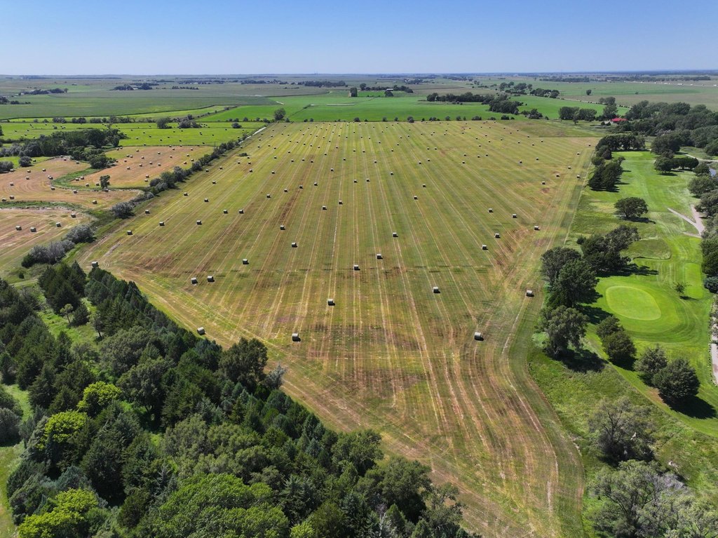
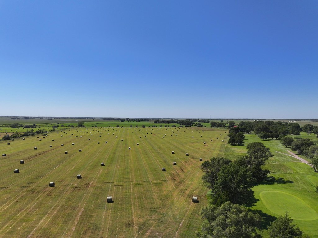
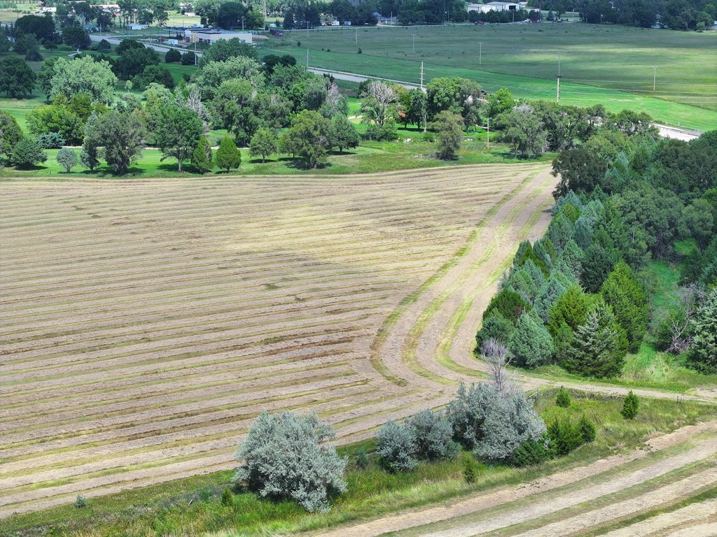
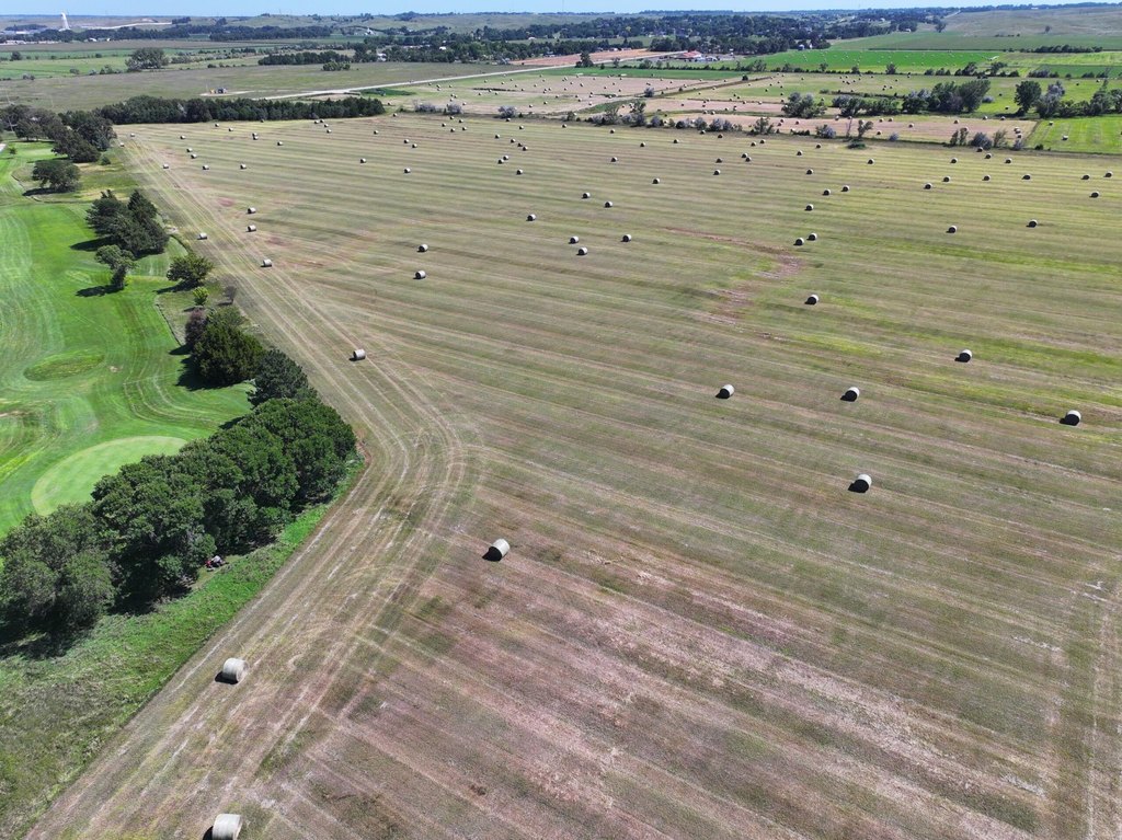
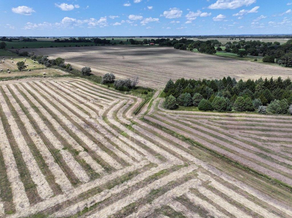
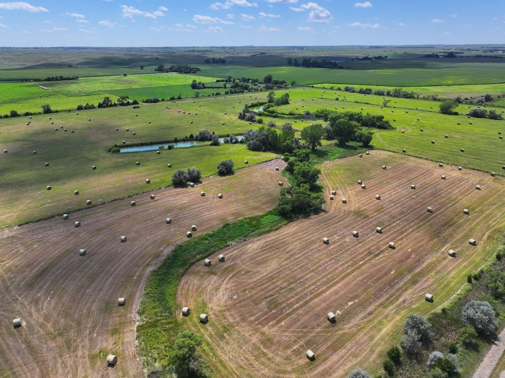
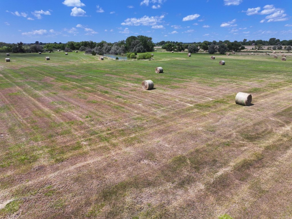
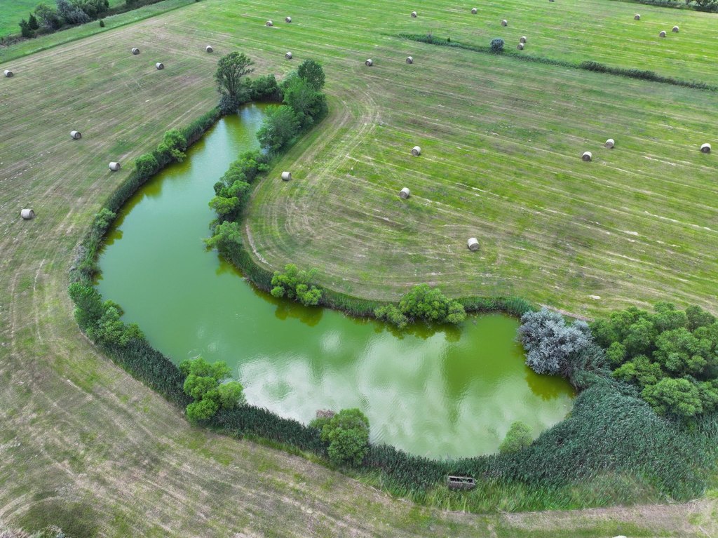
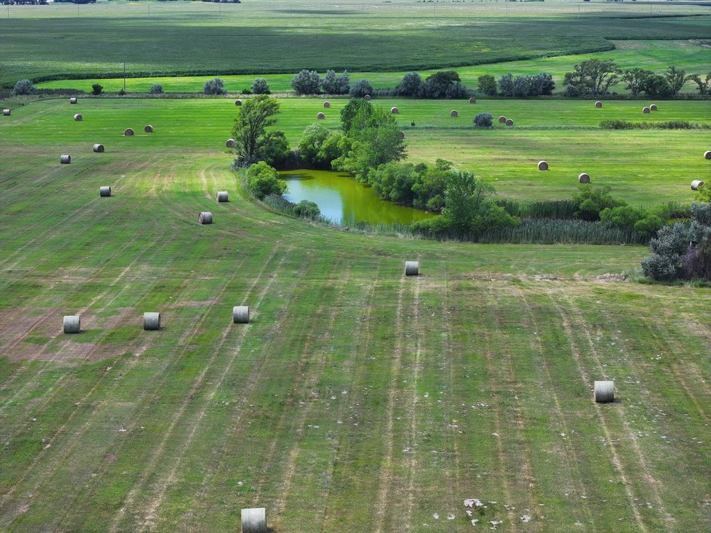
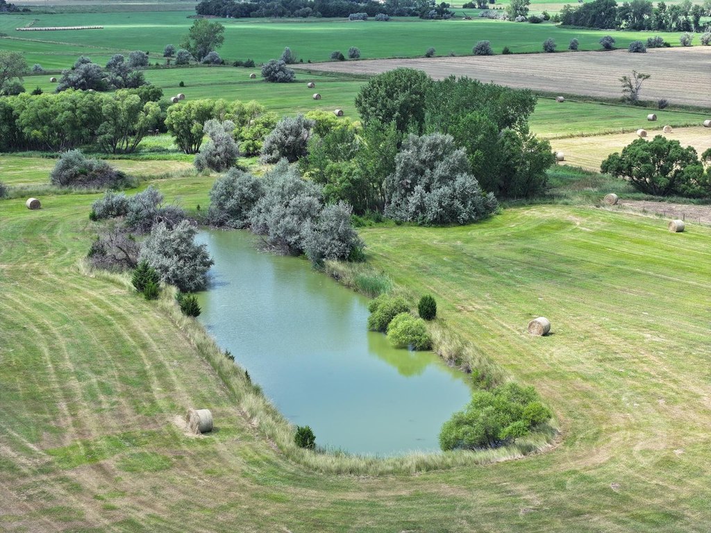
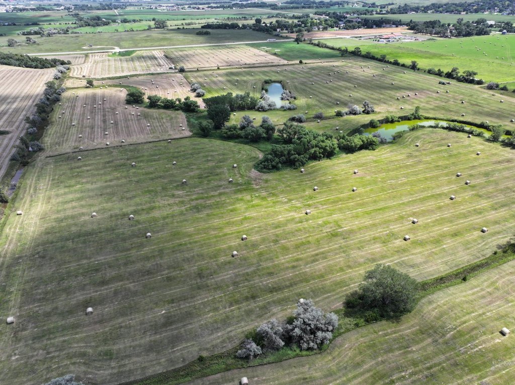
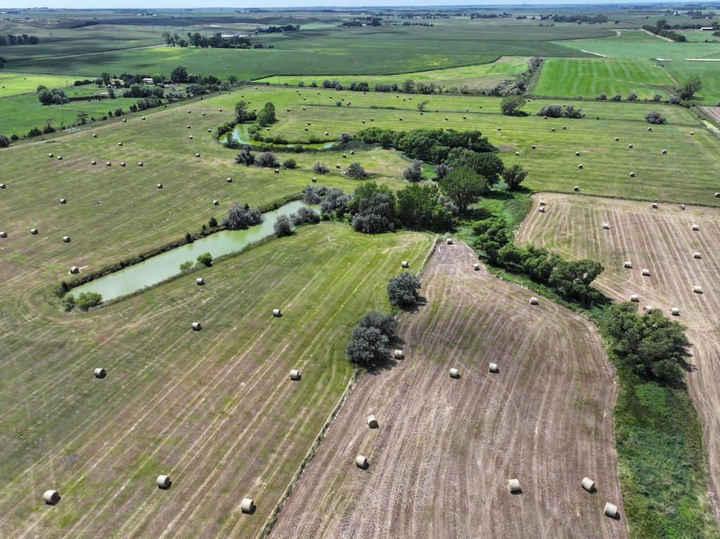
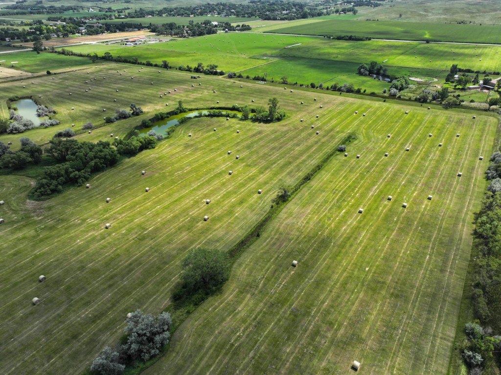
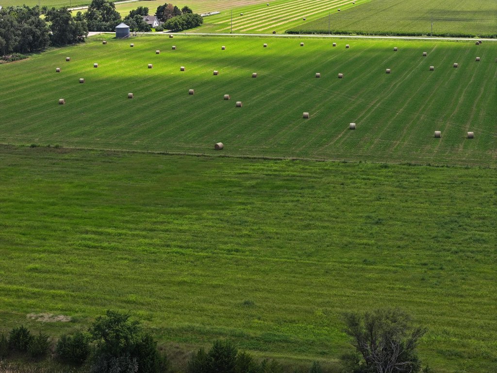
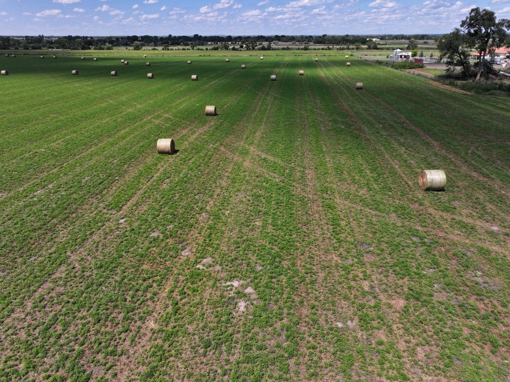
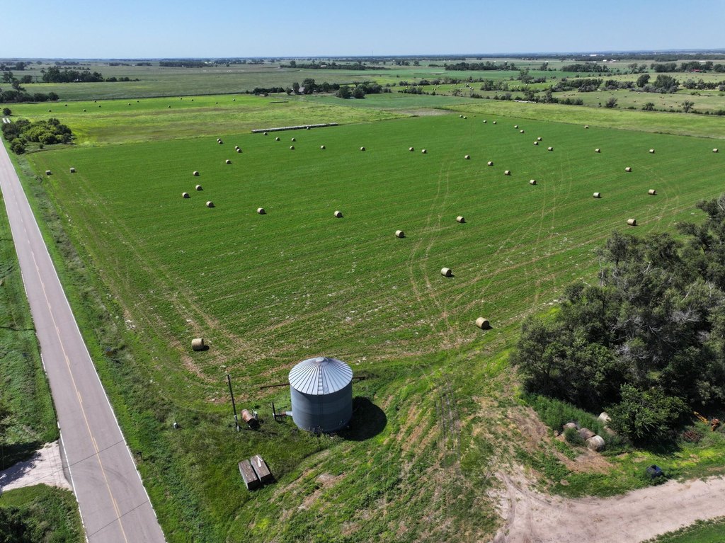
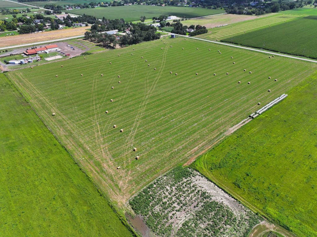
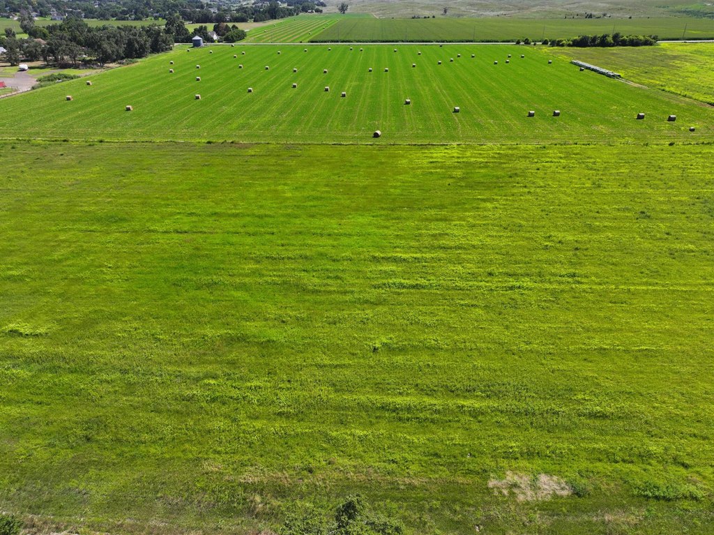
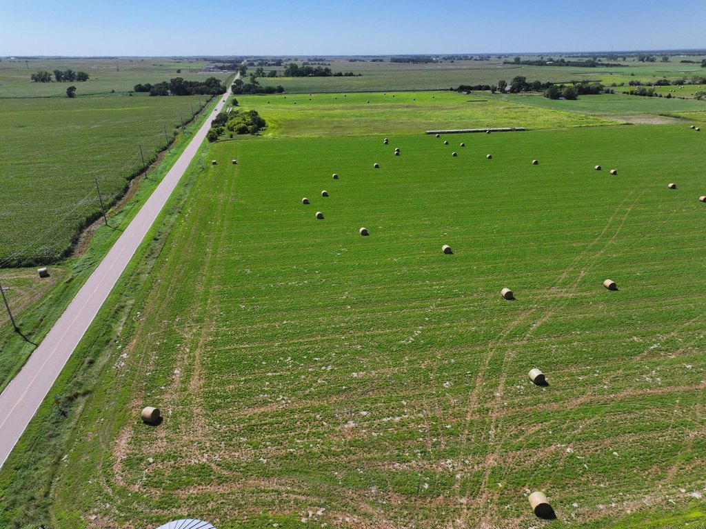
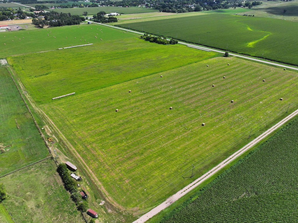
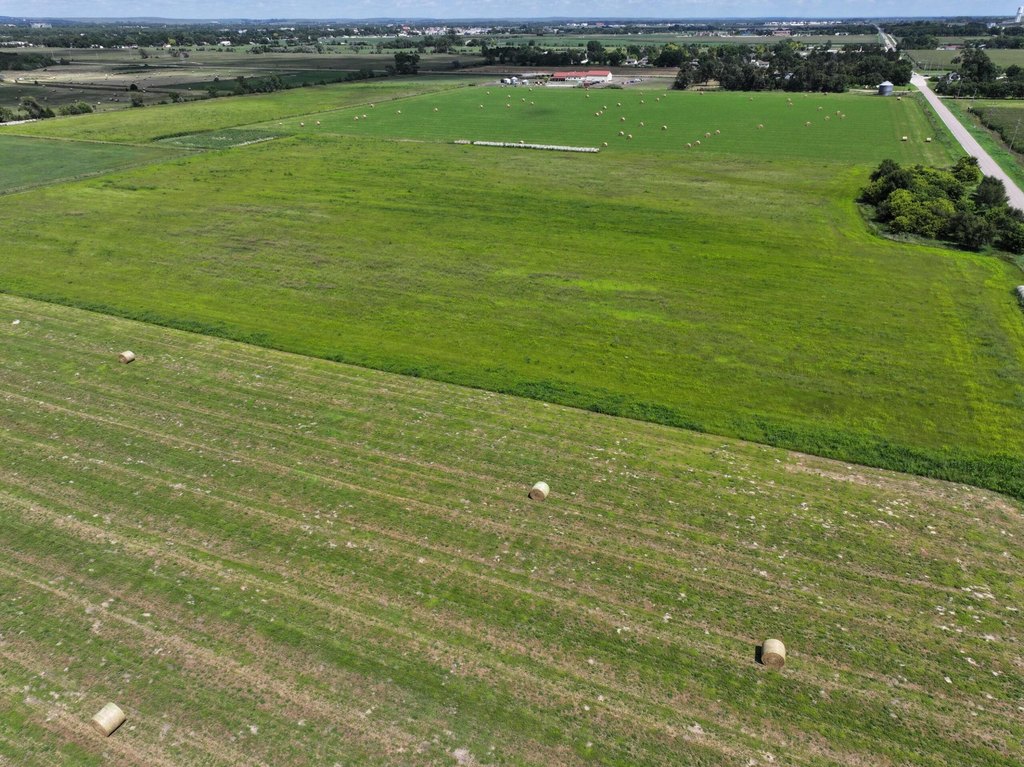
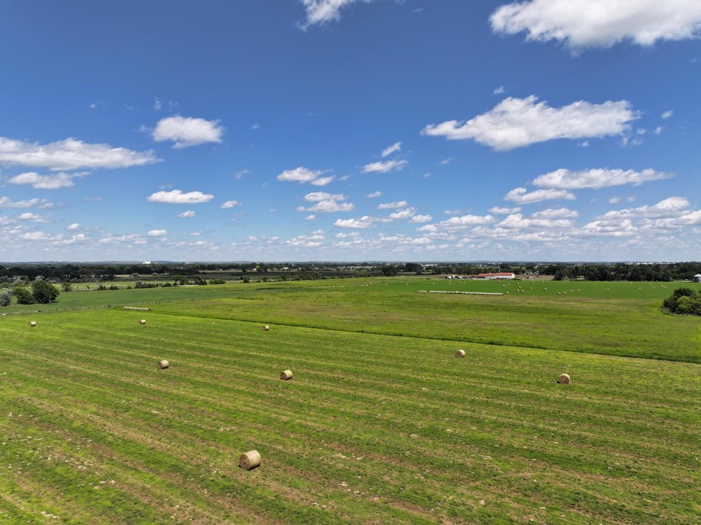
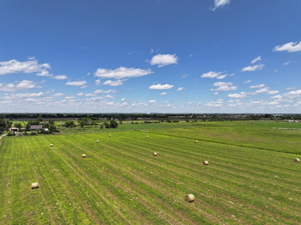
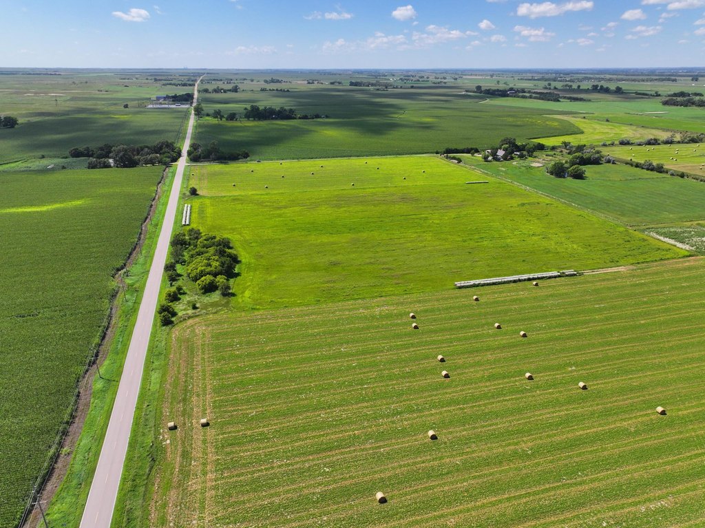
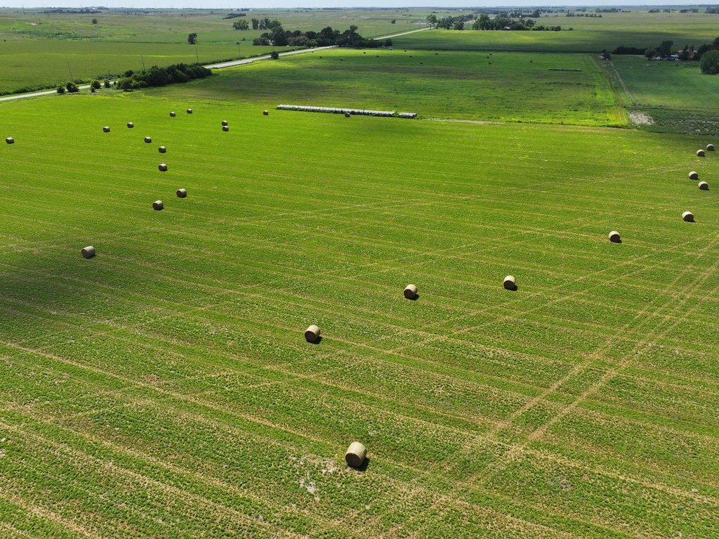
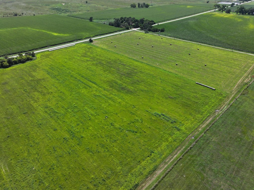
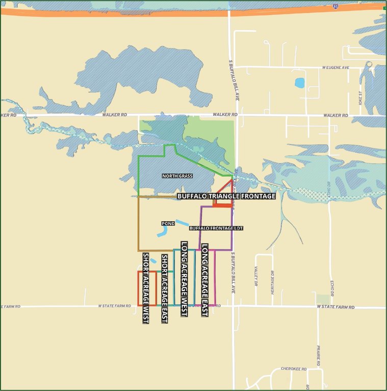
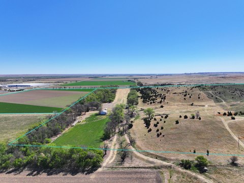
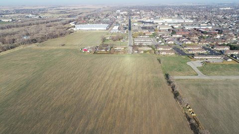
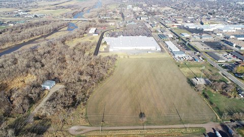
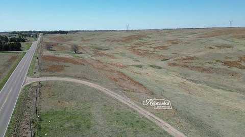
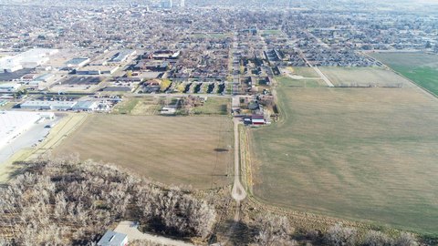
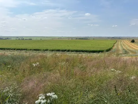
This for-sale land offering consists of eight distinct parcels currently in hay production, positioned on the southern edge of North Platte. The assemblage provides frontage opportunities along S. Buffalo Bill Avenue and W. State Farm Road, and the sellers indicate openness to flexible parcel configurations or redraws, provided reasonable access is maintained. A deeded 66 road easement is in place for access from S. Buffalo Bill Avenue, and access from State Farm Road is subject to county approval. Prior to closing, all parcels must be surveyed, with survey costs shared equally between buyer and seller.
Among the described parcels are the Buffalo Triangle frontage and the Buffalo Frontage lot, each with direct frontage along S. Buffalo Bill Avenue. The offering is presented as a development corridor with an indicated 12% increase in daily traffic over the past two years, and at least one thriving neighboring establishment is referenced in the remarks.
For tenants, developers, and land buyers, the core value here is the combination of multiple parcels, dual-road frontage opportunities, and defined easement access requirements that can support a range of commercial, residential, recreational, or mixed-use concepts. The survey and access-approval steps are clearly identified up front, which can help streamline planning once a buyer is ready to move forward with site planning and entitlements.
Key Highlights
- Multi‑parcel offering on North Platte’s south edge with frontage on both S. Buffalo Bill Ave and W. State Farm Rd
- Eight distinct parcels with current use as hay production across all parcels
- S. Buffalo Bill Ave access via a deeded 66 road easement; W. State Farm Rd access subject to county approval
Property Analytics
Location Intelligence
Current Use by Public Records
Agricultural land / Farmland
Similar For Sale Nearby


FAQs
What type of property is this?
Agricultural land / Farmland - Eight hay-producing parcels offer road-easement access and frontage on two routes for flexible commercial or mixed-use development.
Where is this agricultural land / farmland located?
The property is located at S Buffalo Bill Development North Platte, NE.
What is the asking price?
The asking price for this property is $3,292,650.
What are key features of this property?
This property features: Multi‑parcel offering on North Platte’s south edge with frontage on both S. Buffalo Bill Ave and W. State Farm Rd; Eight distinct parcels with current use as hay production across all parcels; S. Buffalo Bill Ave access via a deeded 66 road easement; W. State Farm Rd access subject to county approval


