Soundfront Homesite with Private
For Sale
$319,000
NC 12 Highway lot 1, Buxton, NC 27920
LOTS/LAND, Buxton, NC
Property SizeContact for details
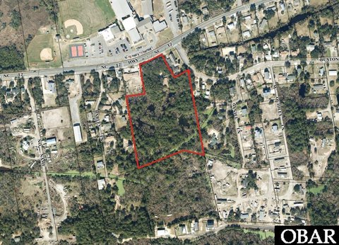
Lot Size0.74 Acres
Days on Market52
Property Features for NC 12 Highway lot 1
General Information
Property type
Land
Property subtype
Other
Zoning
R-1
Lot features
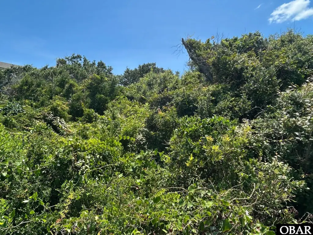
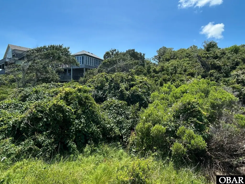
Easement(s), Water Frontage, Wooded
Subdivision
Buxton Soundside
Standard status
Active
Lot size
0.74 Acres
Taxes and HOA fees
Tax Year
2025
Tax Annual Amount
1366
Utilities
Water front
1
Listing Agency:
NC 12 Realty
(252) 995-6212
Listed By:
Trafton Reynolds · License #265864
(252) 996-0104
Added: Jul 1
Changed: Aug 19
Last Checked: Aug 21 at 3:06AM
MLS# 133330
Copyright © 2026 Outer Banks Association of Realtors®. All rights reserved. All information provided by the listing agent/broker is deemed reliable but is not guaranteed and should be independently verified.
Investment Insights
Based on property information with market context.
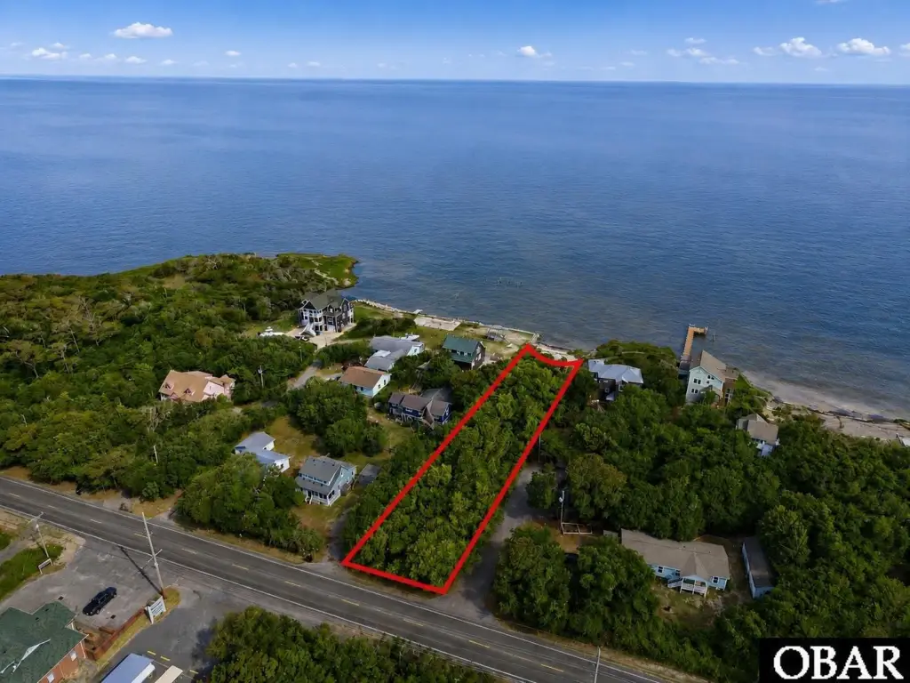
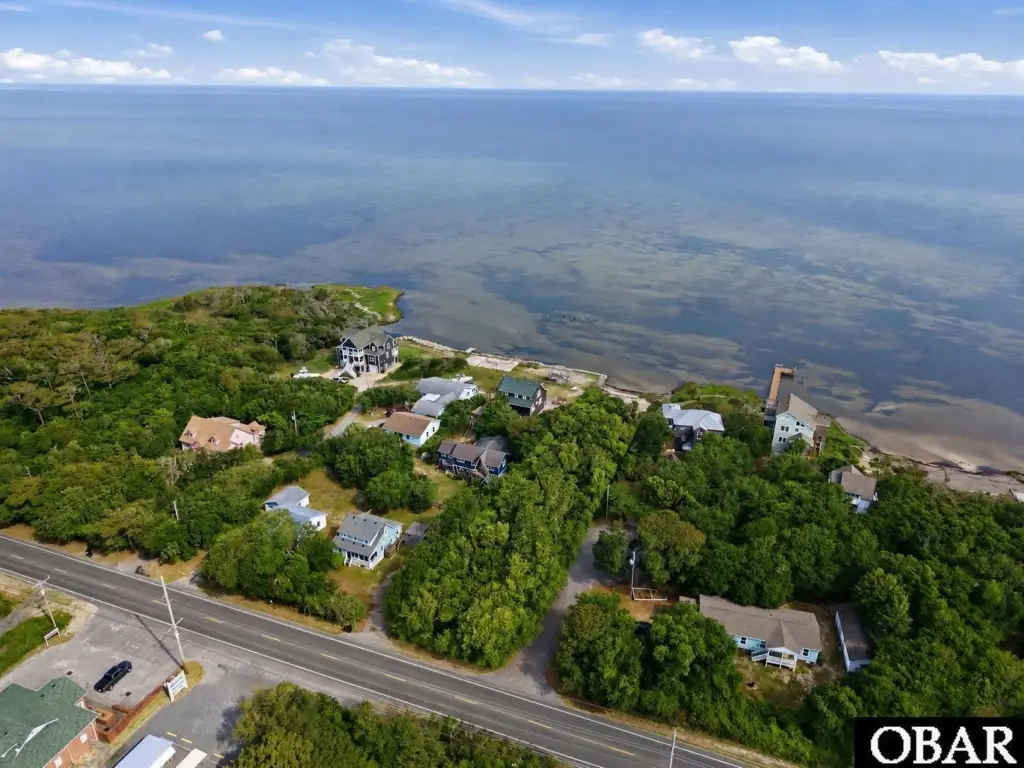
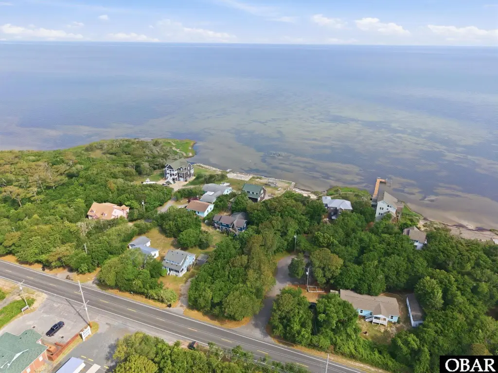
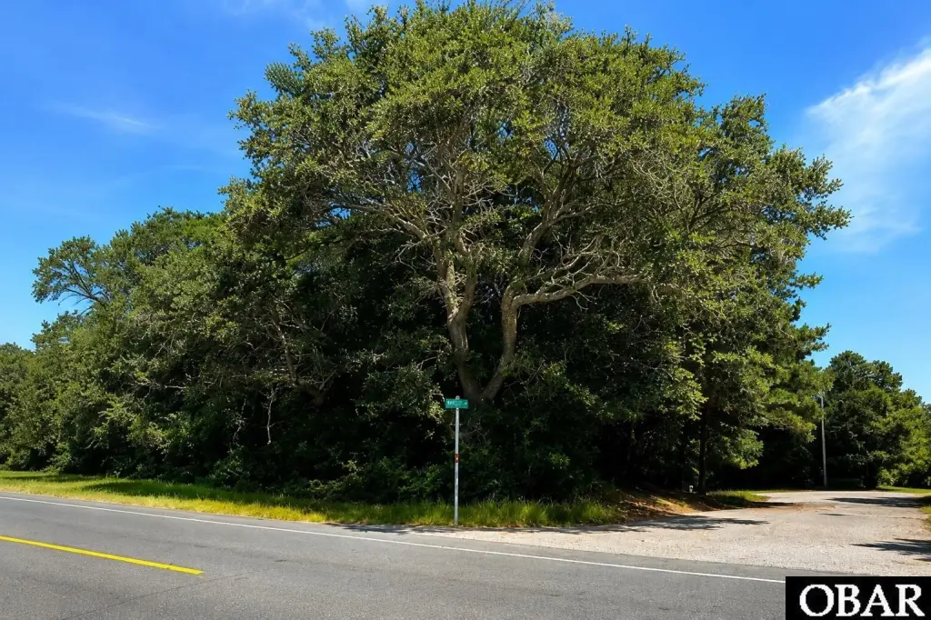
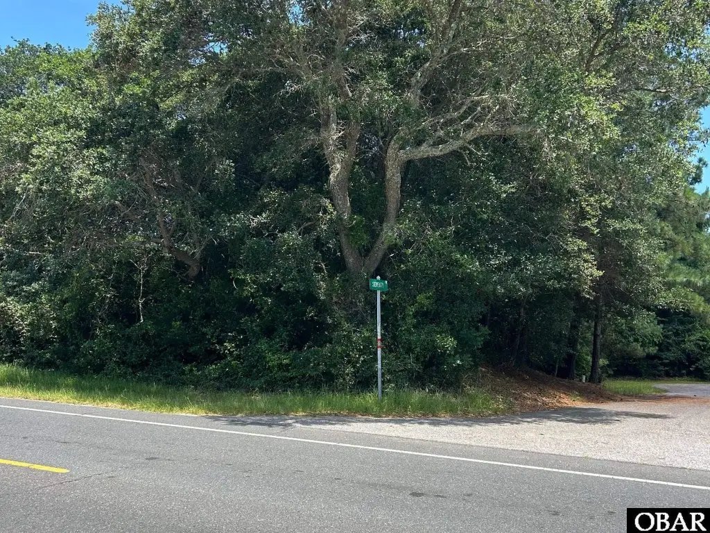
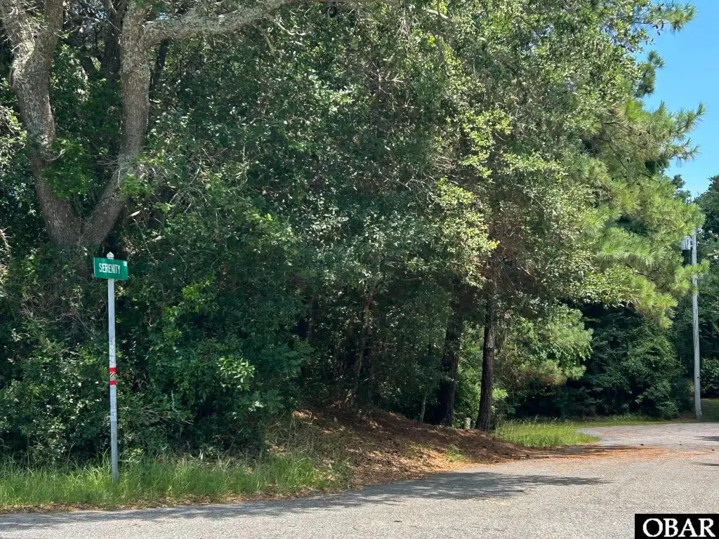
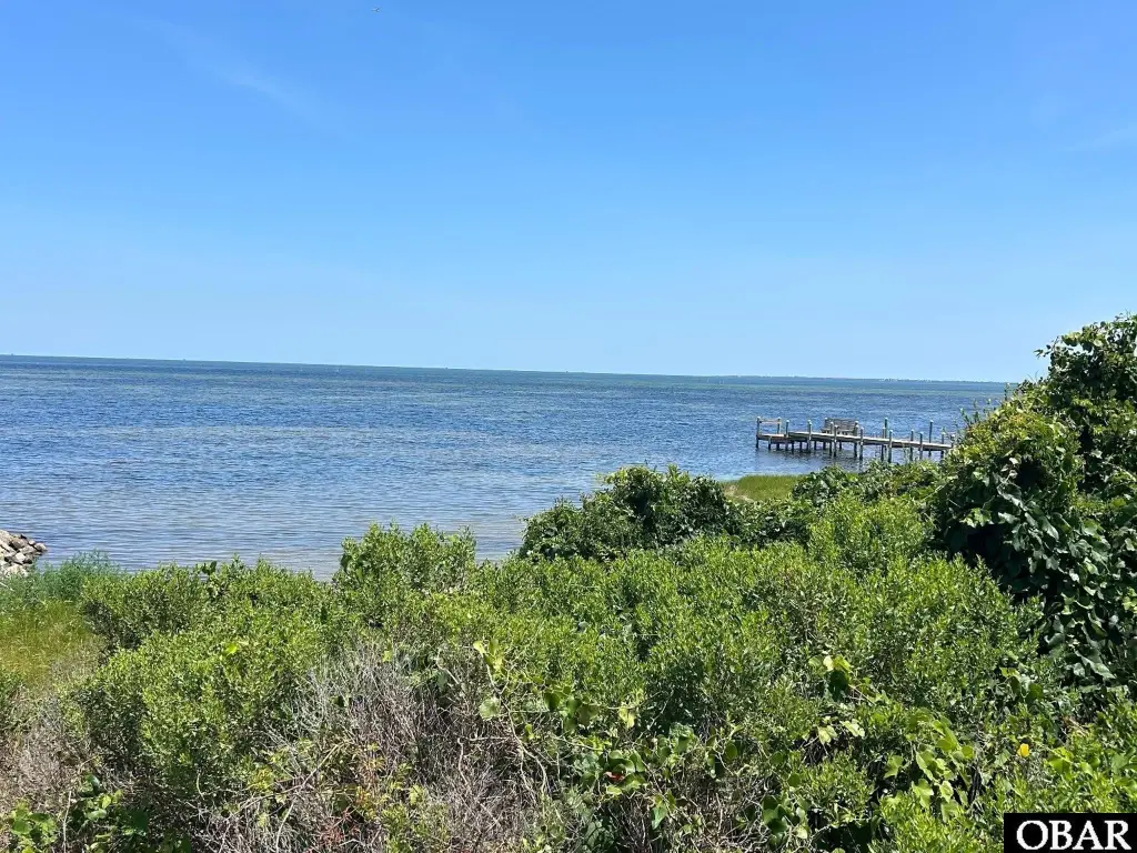
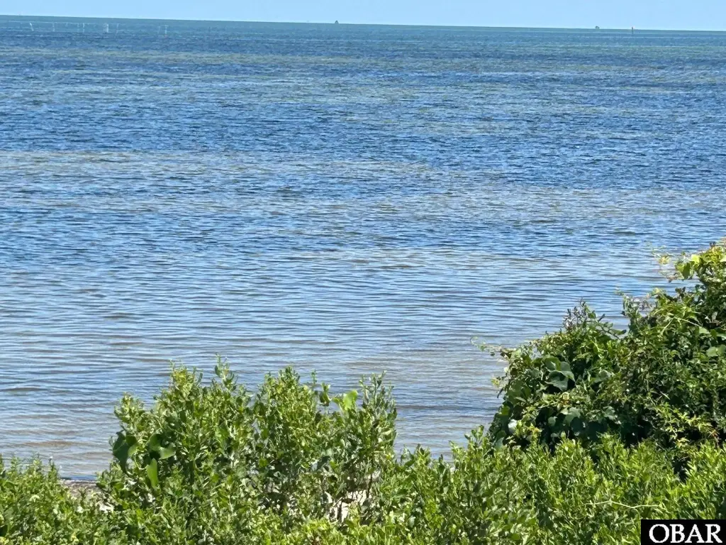
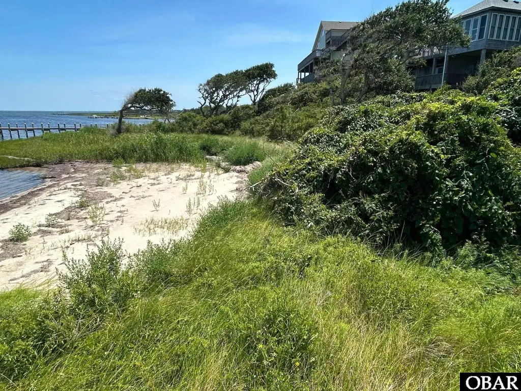
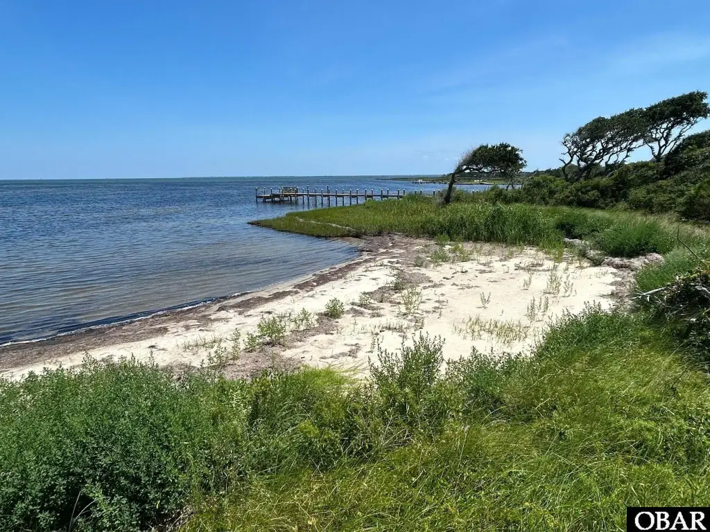
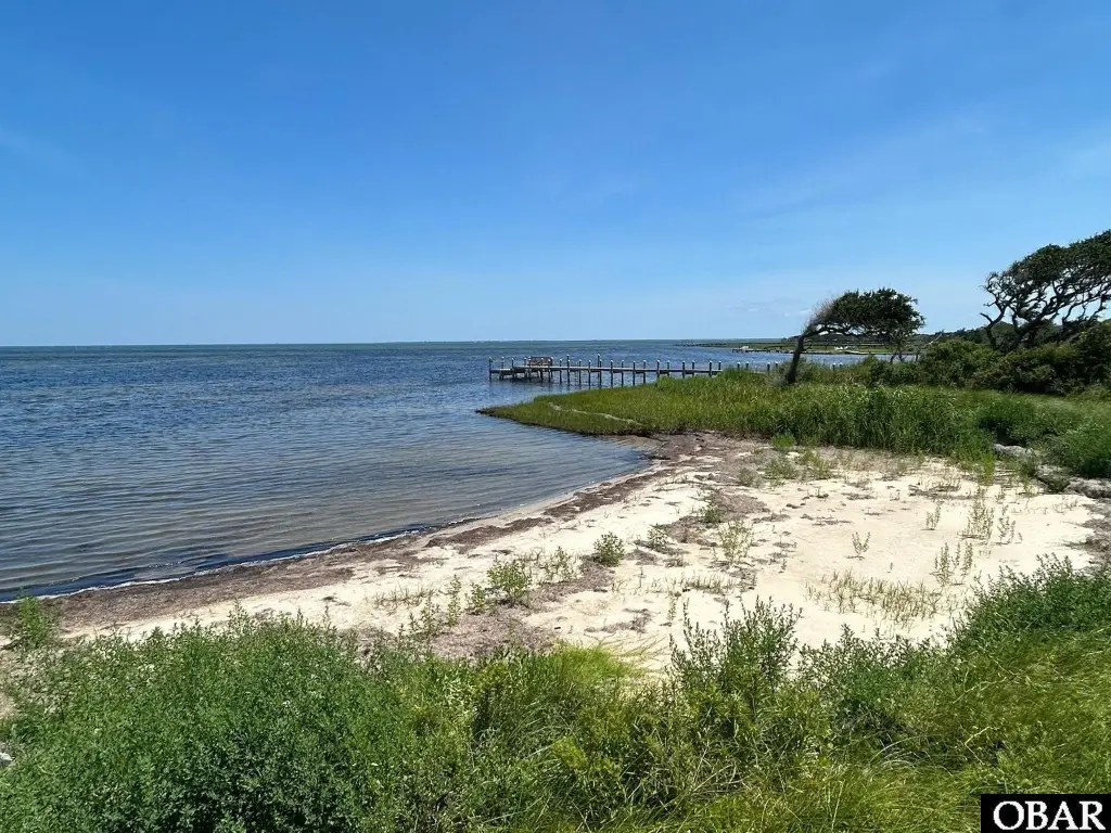
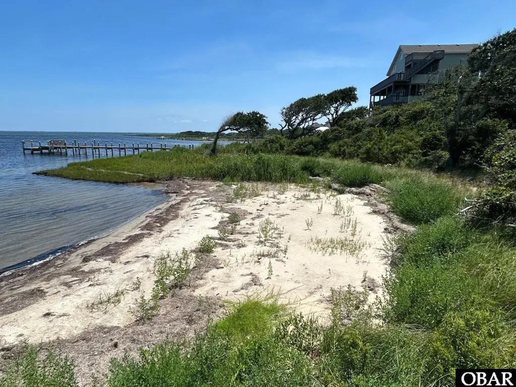
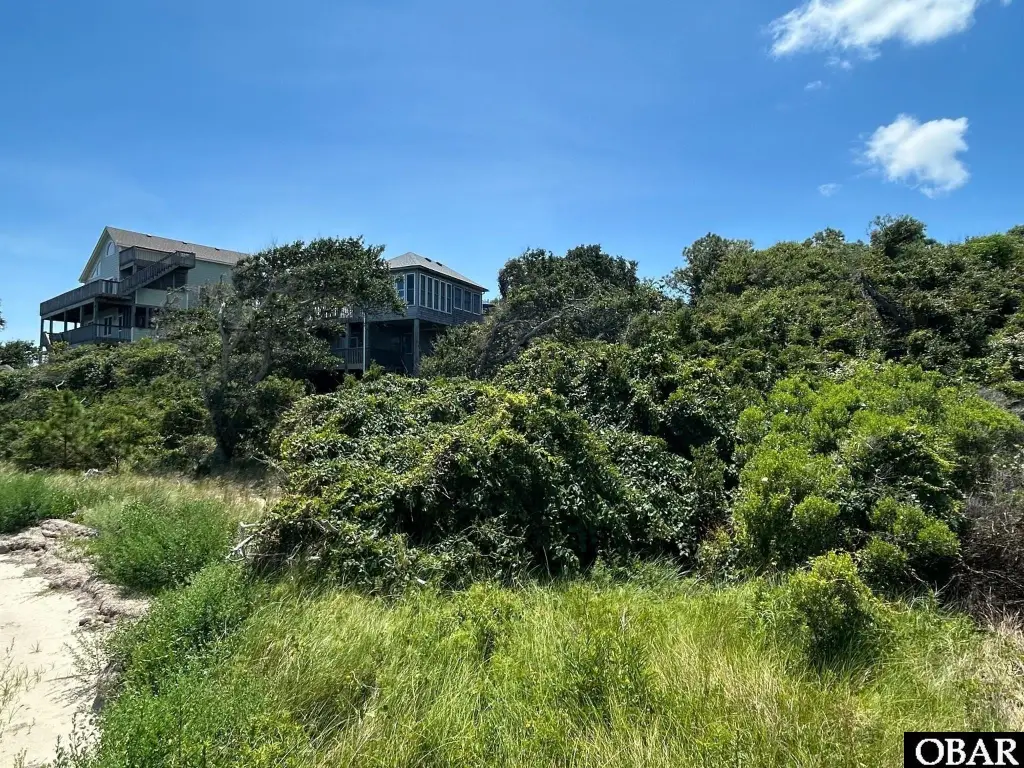
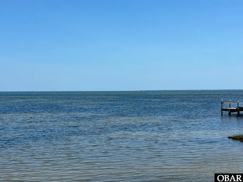
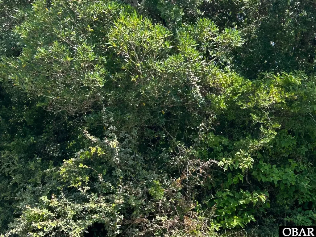
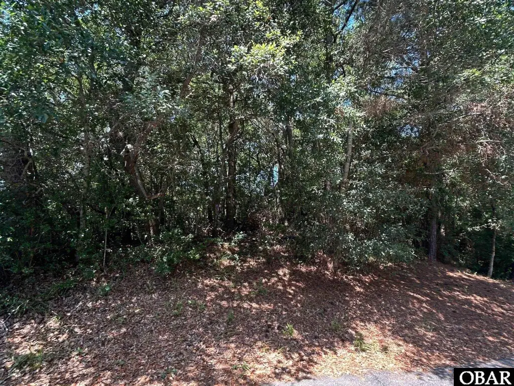
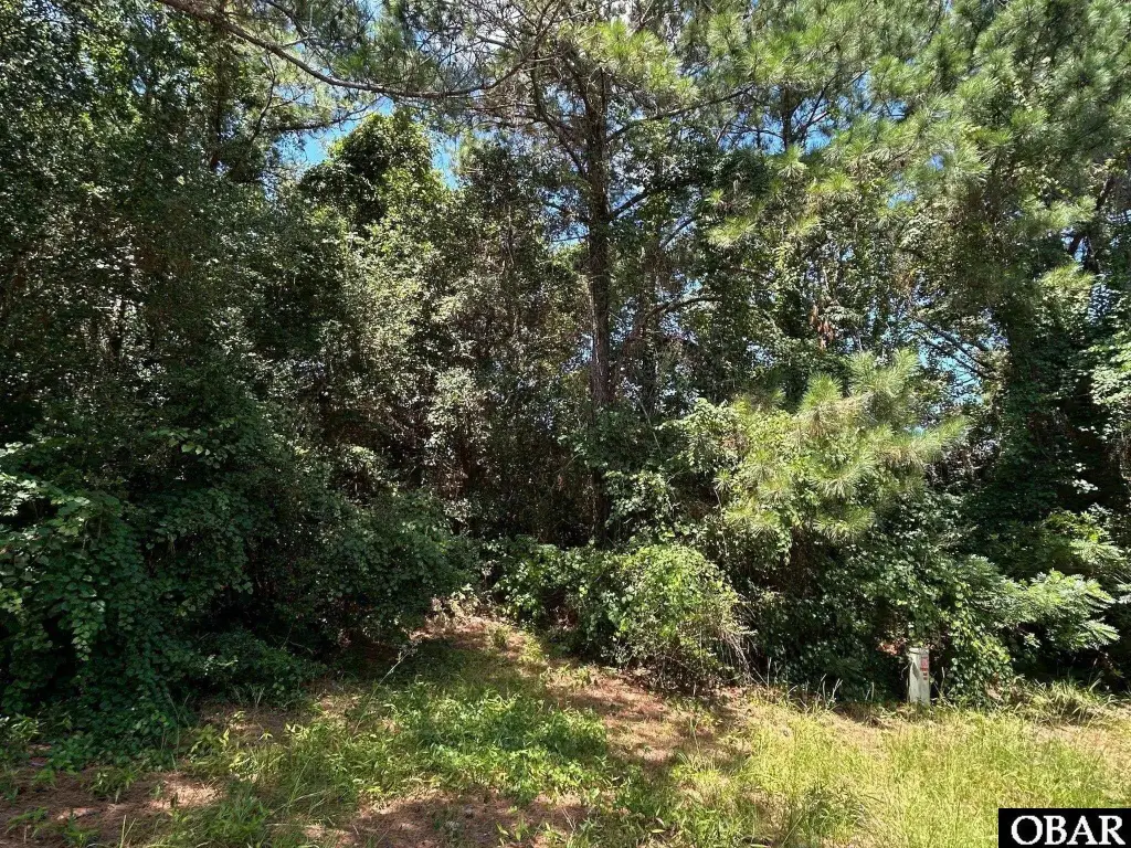
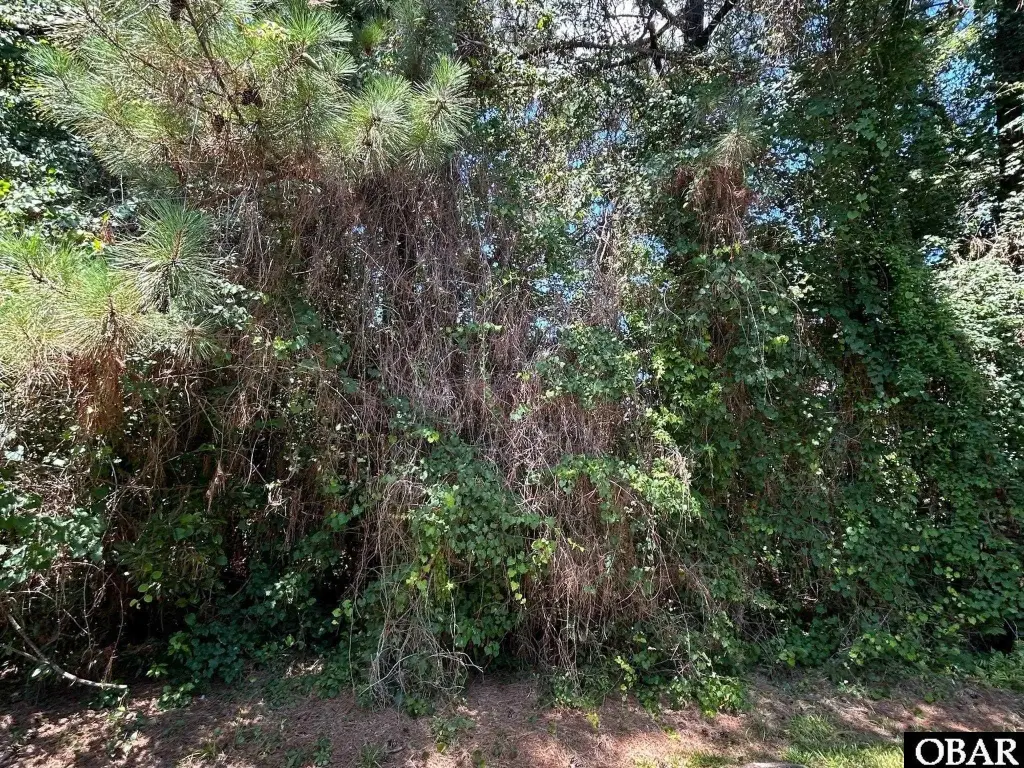
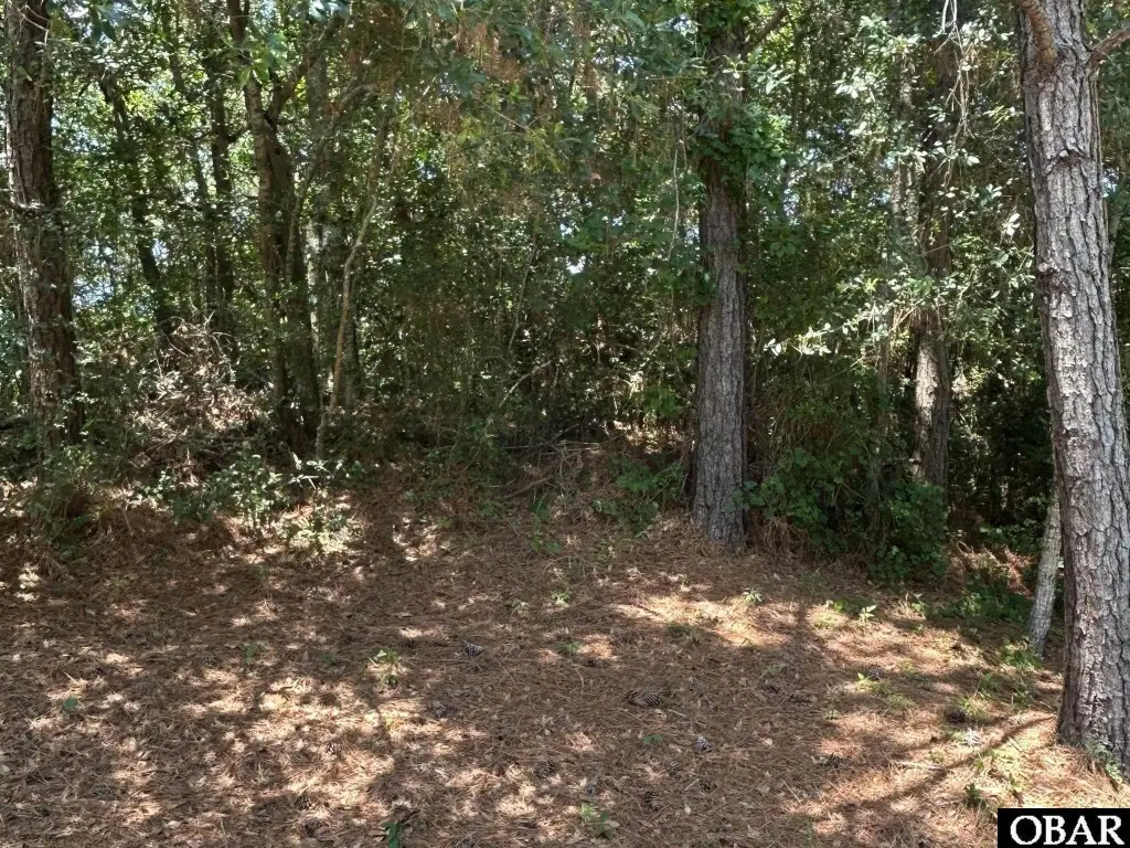
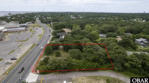
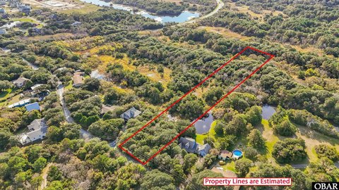
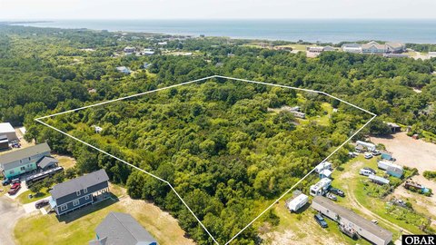
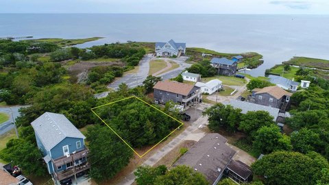
This soundfront homesite consists of approximately 0.74 acres and sits perched high on Buxton Ridge. The parcel is positioned for residential development under R-1 zoning. A new survey with wetland delineation is already in place to support planning and permitting. The property is described as having a private sandy beach for direct water access.
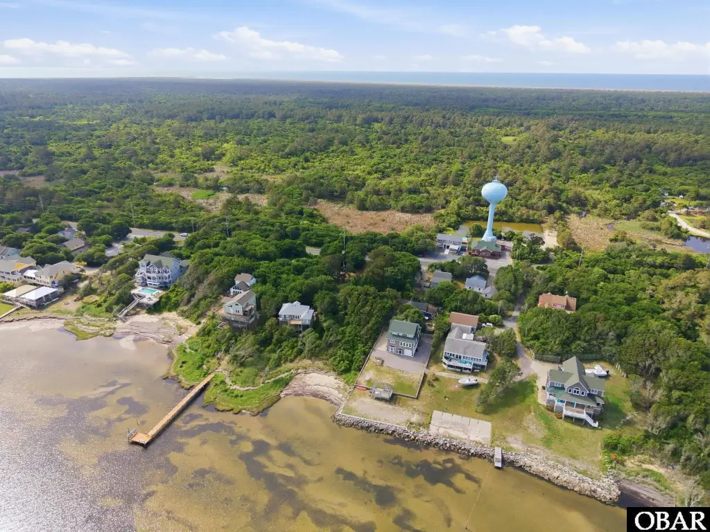
According to the flood information provided, the site is situated primarily in the X and Shaded X flood zones. The setting is near the widest part of Buxton and is noted for elevated terrain and proximity to the Cape Hatteras Lighthouse. The Buxton Woods NC Coastal Reserve is described as nearby with walking trails and year-round visitation tied to the area’s coastal activities.
For buyers looking to build on Hatteras Island, this parcel offers soundfront waterfront frontage with beach access while remaining supported by the available survey work. The combination of elevation and the stated flood zone classifications may help simplify flood insurance considerations for a future home. Overall, it’s a residential buildable site designed around privacy, water access, and coastal recreation uses.
According to the flood information provided, the site is situated primarily in the X and Shaded X flood zones. The setting is near the widest part of Buxton and is noted for elevated terrain and proximity to the Cape Hatteras Lighthouse. The Buxton Woods NC Coastal Reserve is described as nearby with walking trails and year-round visitation tied to the area’s coastal activities.
For buyers looking to build on Hatteras Island, this parcel offers soundfront waterfront frontage with beach access while remaining supported by the available survey work. The combination of elevation and the stated flood zone classifications may help simplify flood insurance considerations for a future home. Overall, it’s a residential buildable site designed around privacy, water access, and coastal recreation uses.
Key Highlights
- 0.735‑acre sound front homesite on Buxton Ridge, suited for building a coastal retreat on Hatteras Island.
- New survey with wetland delineation already in place to support planning for future construction.
- Private sandy beach provides sound access for paddleboarding, kayaking, fishing, kiteboarding, and relaxing.
Property Analytics
Current Use
Location Intelligence
Trade Area within ½ mile
24
Businesses Nearby
Explore this area
Business Placement
Demographics for 27920, NC
1,181
Population
995
Households
1.2
Avg Household Size
52
Median Age
26%
College-Educated
95%
High-School Grad
7.8 sq mi
ZIP Area
151
Density / Sq Mi
$67,054
Median Household Income
$36,576
Median Earnings
$1,295
Median Rent
$385,400
Median Home Value

Questions? Ask Rey
Realmo’s AI knows this listing — price, zoning, demand, history. Ask anything.




Frequently Asked Questions
What type of property is this?
Waterfront Land - Perched on Buxton Ridge with a private sandy beach and survey showing wetland delineation for coastal planning.
Where is this waterfront land located?
The property is located at NC 12 Highway lot 1 Buxton, NC.
What is the asking price?
The asking price for this property is $319,000.
What are key features of this property?
This property features: 0.735‑acre sound front homesite on Buxton Ridge, suited for building a coastal retreat on Hatteras Island.; New survey with wetland delineation already in place to support planning for future construction.; Private sandy beach provides sound access for paddleboarding, kayaking, fishing, kiteboarding, and relaxing.