Commercial Land Parcel with Highway
N State Route 89 Ash Fork, AZ 86320


For Sale
$750,000
LAND - Ash Fork, AZ
Lot Size26.33 Acres
Days on Market249
Property Features for N State Route 89
General Information
- Property type
- Land
- Property subtype
- Other
- Zoning
- R1-175
- Fencing
- Perimeter, Barbed Wire
- Standard status
- Active
- Lot size
- 26.33 Acres
Taxes and HOA fees
- Tax Year
- 2025
- Tax Description
- IRREG PCL LYING WEST OF U S HWY 89 NORTH OF EAST-WEST MID-SECTION LINE AND SOUTH OF PROPERTY DEEDED TO STATE AND DESC IN 1361 48 S EC 11 21 2W CONT 26.33 AC 1510 865
- Tax Annual Amount
- 5
Listing Agency:
Realty Executives Arizona Territory
(928) 777-0077
Listed By:
Rachelle Fernow · License #SA698555000
(928) 533-6334
Added: Nov 19, 2025
Changed: Jul 26
Last Checked: Jul 26 at 12:06PM
MLS# 1078276
Copyright © 2026 Prescott Area Association of Realtors®. All rights reserved. All information provided by the listing agent/broker is deemed reliable but is not guaranteed and should be independently verified.
Investment Insights
Based on property information with market context.
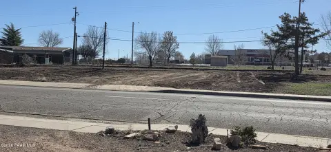
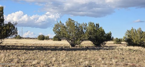
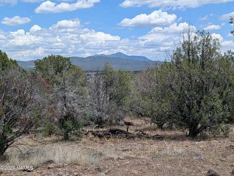
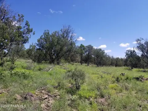
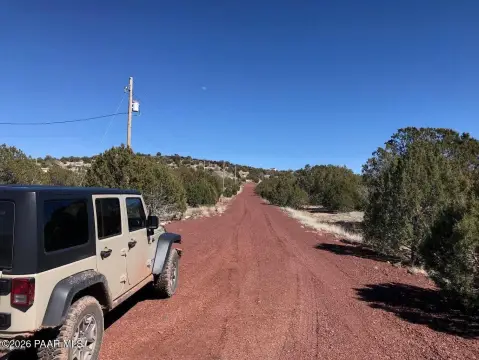
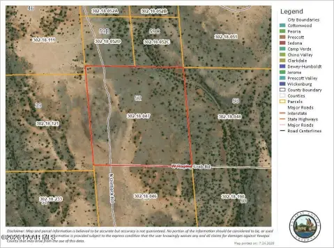
This 26.33-acre parcel is offered for sale with an existing agricultural operation of grazing cattle and an open landscape. The property is currently zoned R1-175 (low density residential), and the seller’s remarks indicate potential for rezoning under Yavapai County land use to support broader development opportunities.
Located at the southwest corner of State Route 89 and Interstate 40 in the Ash Fork area, the site is described as having significant visibility, with an estimated 20,000 vehicles passing by each day. The parcel also benefits from access to electrical service and municipal water, which may help streamline future project planning.
Positioned to serve both the commuting traveler and regional connectivity across North Central Arizona, the property is situated within reasonable driving distance to Flagstaff and Prescott, with Williams and the Grand Canyon also noted in the remarks.
Key Highlights
- Just over 26 acres at the southwest corner of State Route 89 and Interstate 40
- Estimated 20,000 vehicles passing by each day
- Currently zoned for low density residential
Property Analytics
Location Intelligence
Current Use by Public Records
Commercial land


FAQs
What type of property is this?
Agricultural land / Farmland - Zoned R1-175, this 26-acre parcel at SR 89 and I-40 includes access to electric service and municipal water.
Where is this agricultural land / farmland located?
The property is located at N State Route 89 Ash Fork, AZ.
What is the asking price?
The asking price for this property is $750,000.
What are key features of this property?
This property features: Just over 26 acres at the southwest corner of State Route 89 and Interstate 40; Estimated 20,000 vehicles passing by each day; Currently zoned for low density residential