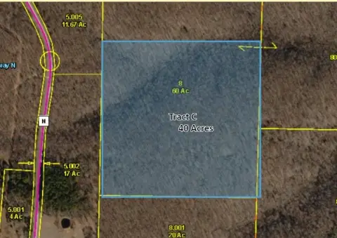
N State Hwy 5, Ava, MO 65608
- Added:
- Jun 25, 2026
- Days on Market:
- 3
- Last Refresh:
- Jun 27 at 5:06 am
Property Features for N State Hwy 5
General Information
- Property type
- Land
- Property subtype
- Other
- Standard status
- Active
- APN
- 05-0.3-08-000-000-008.001
- Lot size
- 15.00 Acres
Taxes and HOA fees
- Tax Year
- 2025
- Tax Annual Amount
- 208

Listing agent Jonathan Minerick License #10311209448 (888) 400-2513
Listing office HomeCoin.com 600 B St. Ste 300, San Diego, MO (888) 400-2513
Listing date Jun 25, 2026
Copyright © 2026 Southern Missouri Regional MLS, LLC (SOMO). All rights reserved. All information provided by the listing agent/broker is deemed reliable but is not guaranteed and should be independently verified.
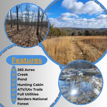
HighLights
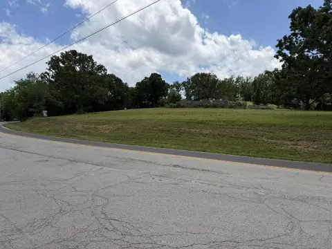
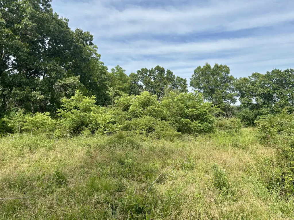
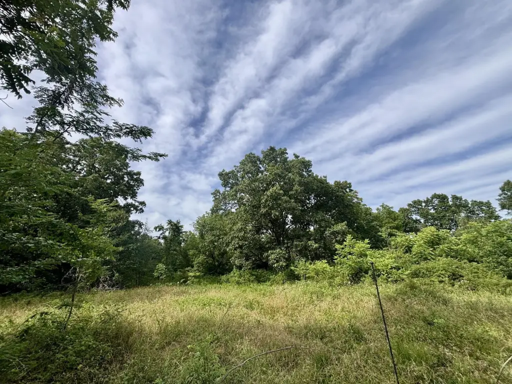
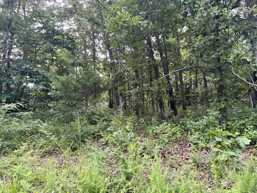
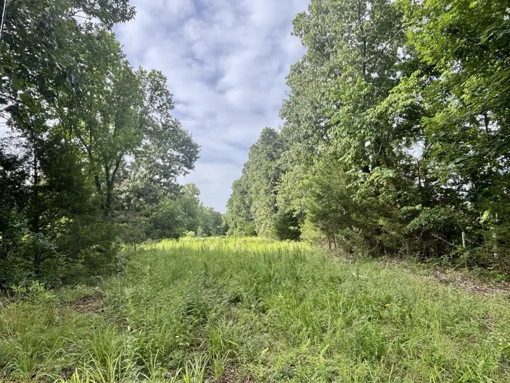
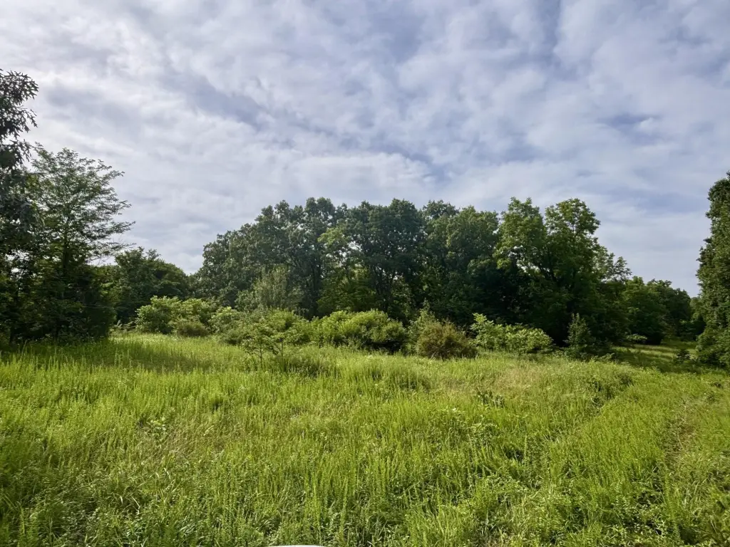
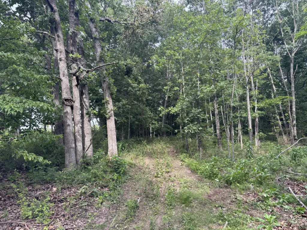
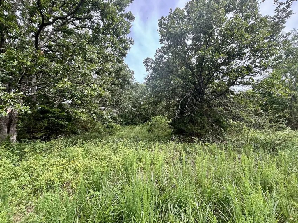
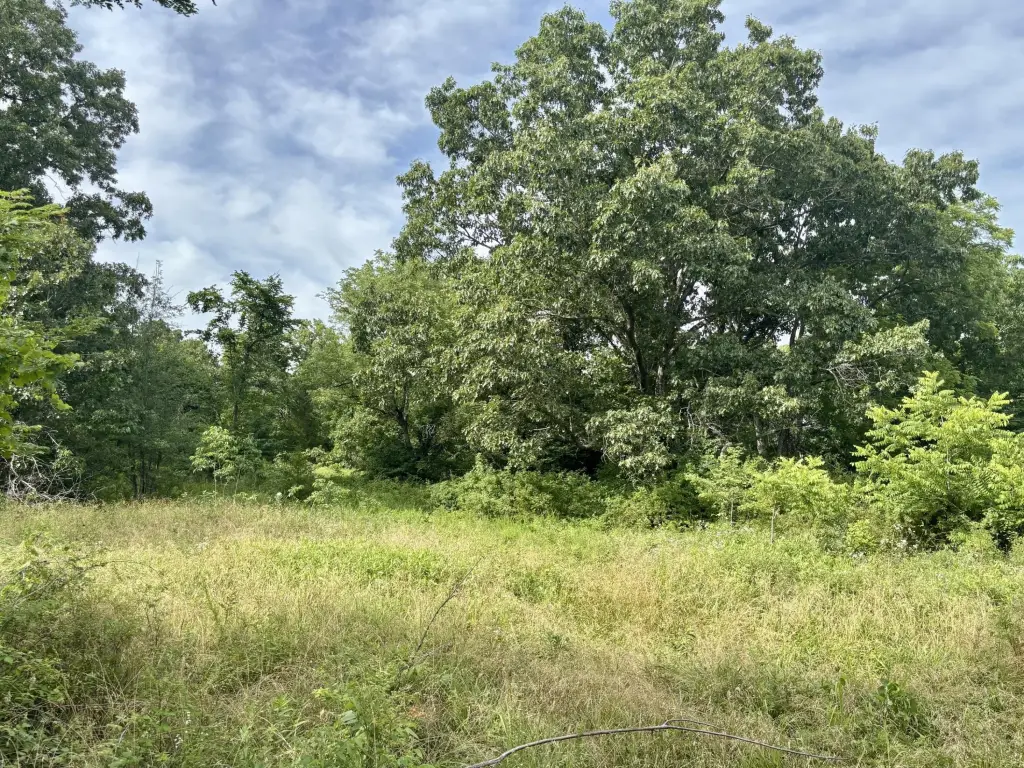
- 15‑acre parcel just outside of Ava in Douglas County
- Flat, ridge‑top plateau with level interior building sites plus partially cleared openings
- Rises about 50 ft above Missouri State Highway 5 on the east side for a natural road buffer
- West side sits about 150 ft above the valley floor, with a thick perimeter of mature forest
- 50‑foot timber buffer along the western bluff line to remain as a permanent conservation easement for privacy
- Overhead electric lines close by and a new boundary survey recently completed
Overview
The parcel sits approximately 50 feet above Missouri State Highway 5 on the east side, creating a natural sound and visual buffer from the road. On the west side, it rises about 150 feet above the valley floor. A new boundary survey has been completed, and the listing is tied to the parent tract for Parcel ID 05-0.3-08-000-000-008.001.
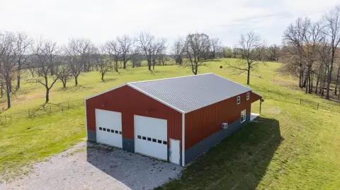
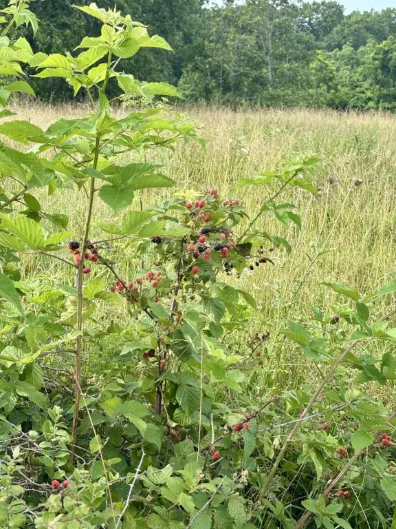
For buyers looking for seclusion with practical access to buildable ground, this property offers a clear blend of open space and established timber. The mix of habitat supports local wildlife, including deer and turkey, while the nearby overhead electric lines can help streamline utility connections. The property has been newly surveyed as a split, and Douglas County will issue a new individual parcel number to the buyer with the recording of the new deed.
Current Use by Public Records
Map
- City
- Ava
- County
- Douglas
- State
- Missouri
- Longitude
- -92.607679
- Latitude
- 37.041311