Ag-Exempt Agricultural Land with
26.02 AC N Fm 129 Santo, TX 76472
26.02 AC N Fm 129, Santo, TX, 76472
$475,000
For Sale
$475,000
LAND - Santo, TX
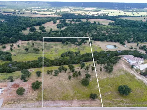
Lot Size26.02 Acres
Days on Market45
Property Features for 26.02 AC N Fm 129
General Information
- Property type
- Land
- Property subtype
- Other
- Vegetation
- Cleared, Wooded, Grassed, Brush
- Standard status
- Active
- APN
- 565666
- Lot size
- 26.02 Acres
Taxes and HOA fees
- Tax Description
- AB 763 TR 4-4A T&P RY CO #472 (IMP ONLY--NTA0
- Tax Annual Amount
- 785
Listing Agency
Cornerstone Home and Ranch
(940) 452-7915
Mineral Wells, TX
Listed by
Jenna Sims · License #TX0679015
(940) 452-7915
Added: Jun 4 Checked: Jul 18 at 3:06 pm
MLS# 21182287
Listing URL
Copyright © 2026 North Texas Real Estate Information Systems, Inc. All rights reserved. All information provided by the listing agent/broker is deemed reliable but is not guaranteed and should be independently verified.
Investment Insights
Based on property information with market context.
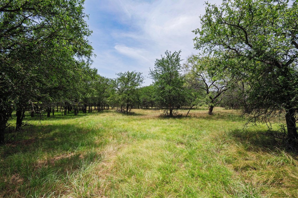
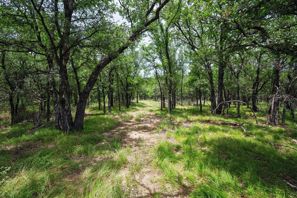
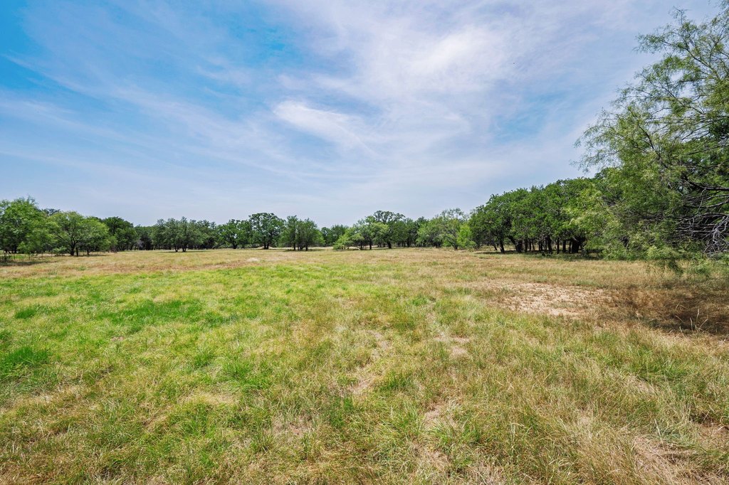
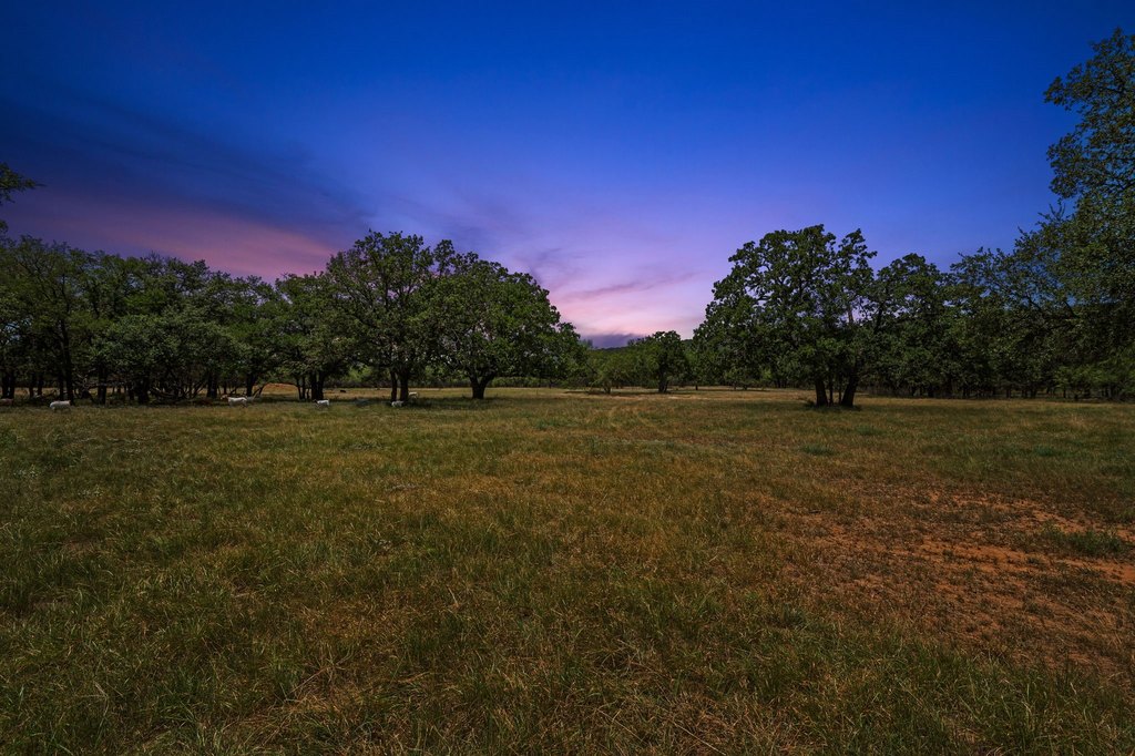
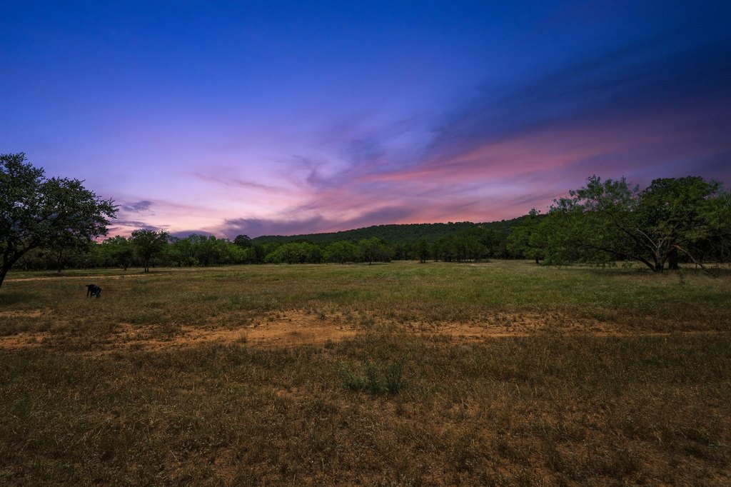
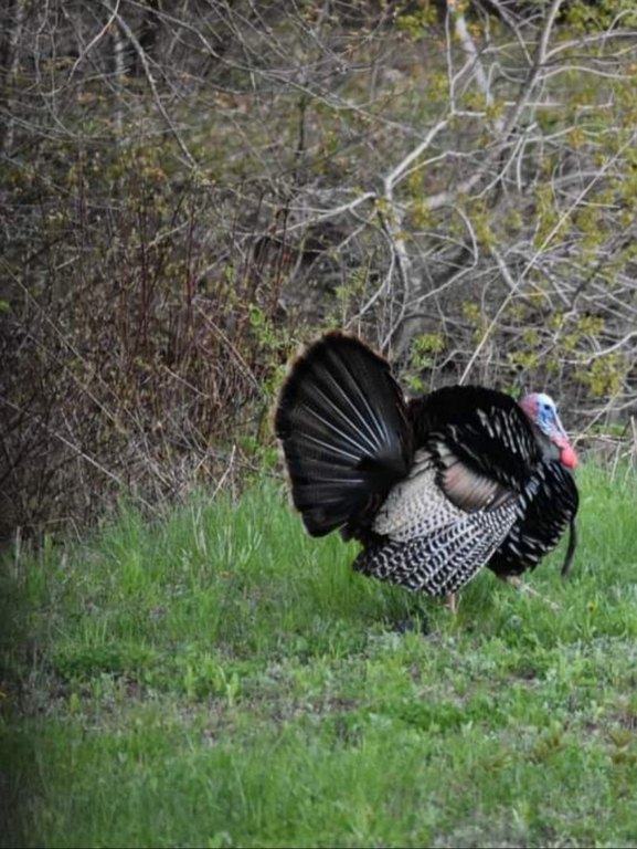
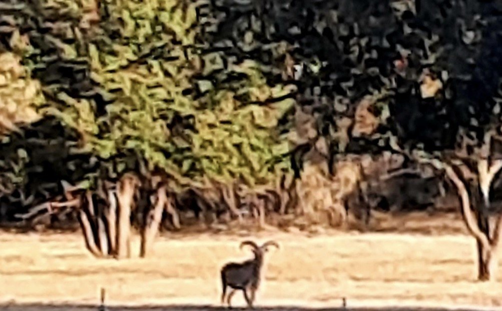
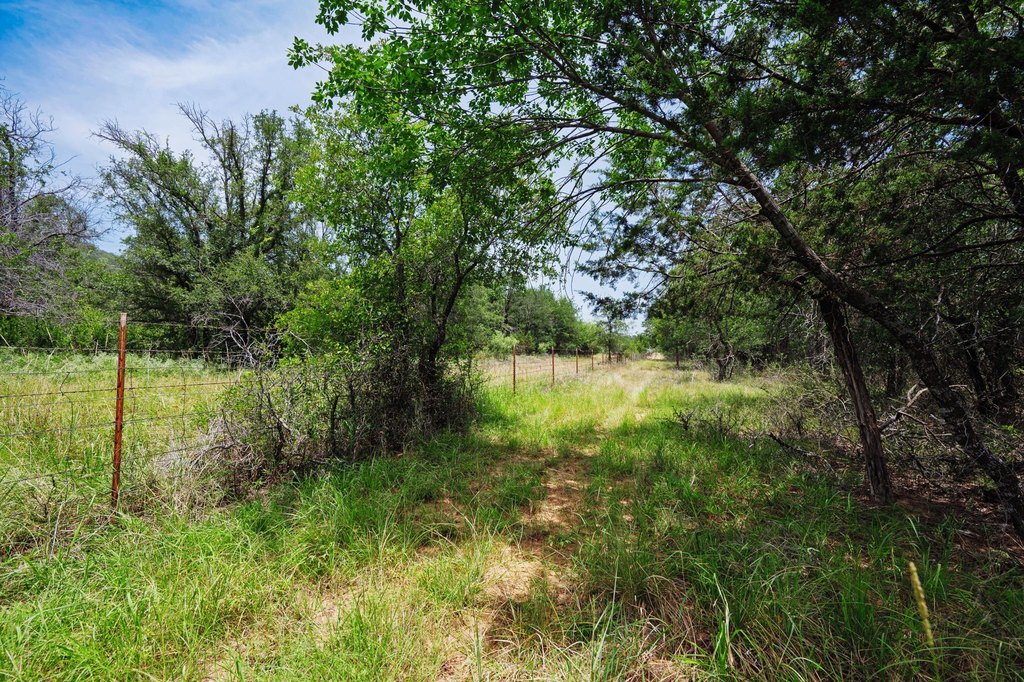
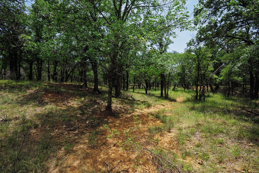
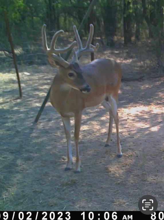
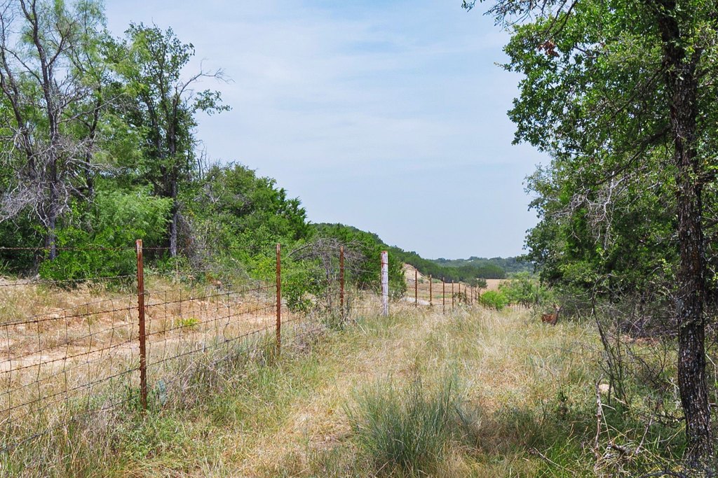
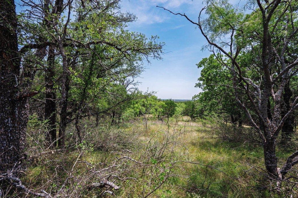
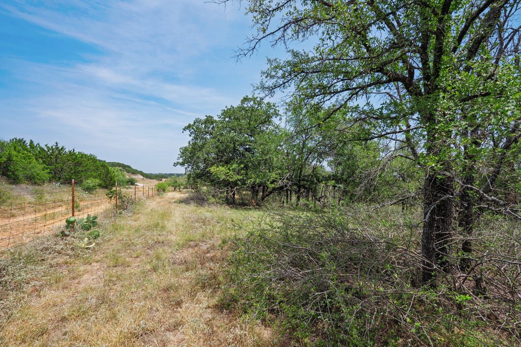
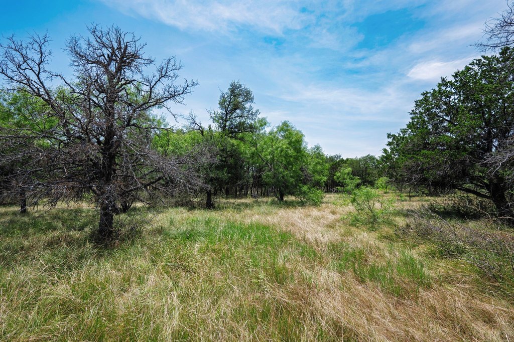
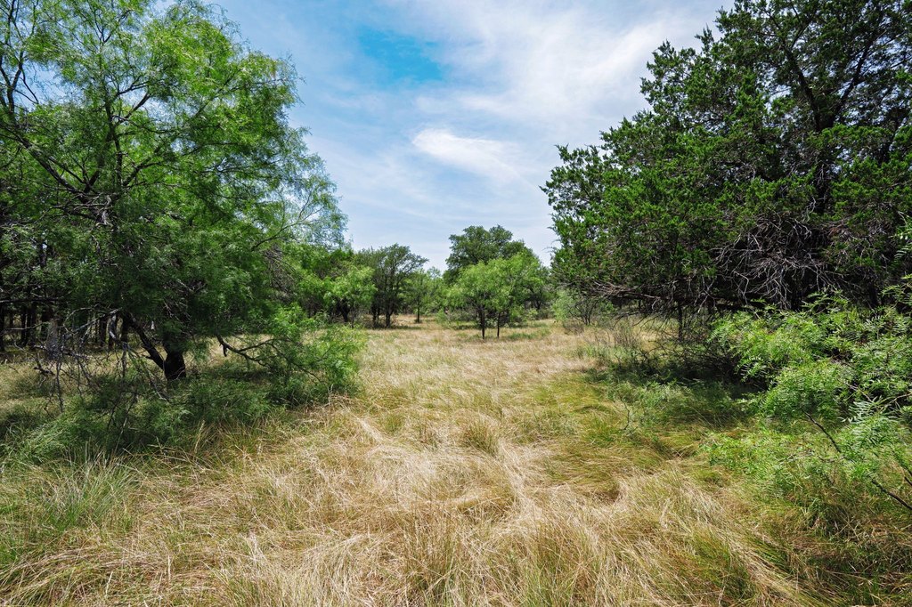
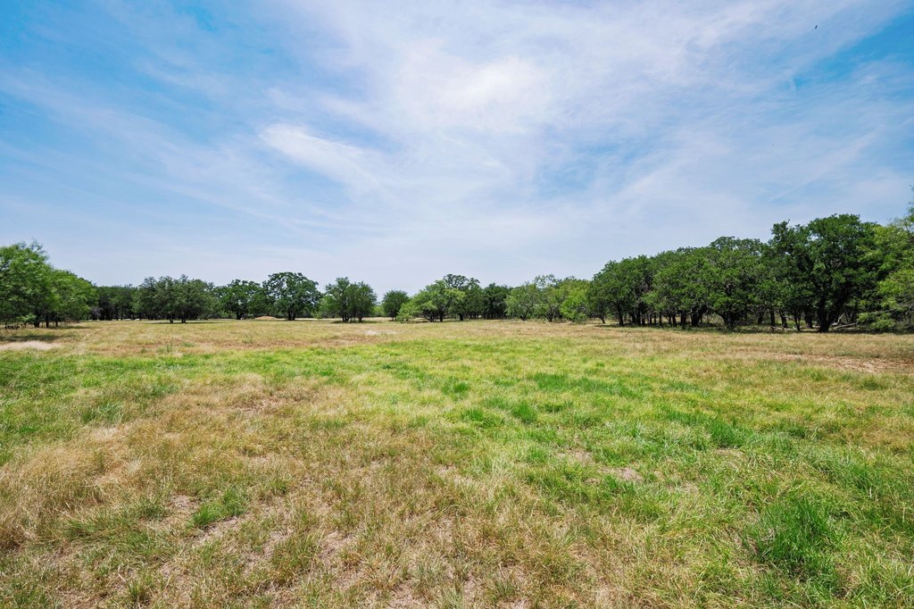
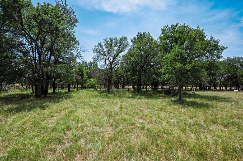
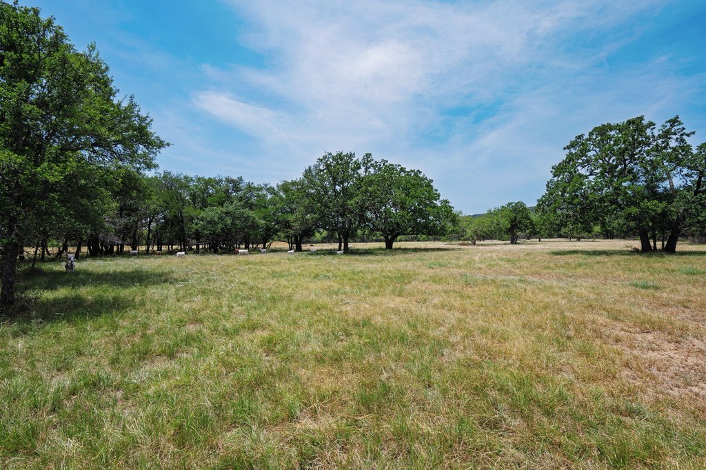
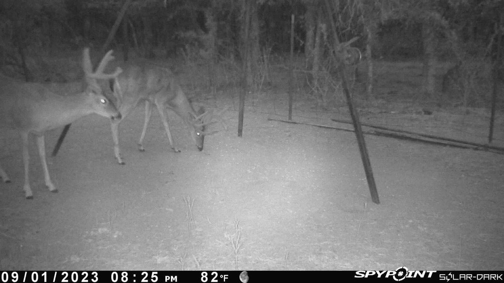
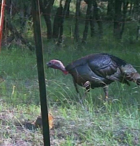
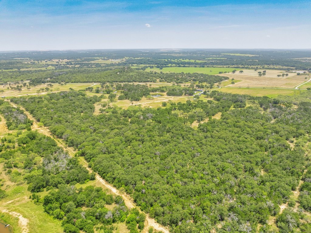
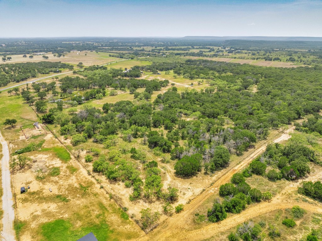
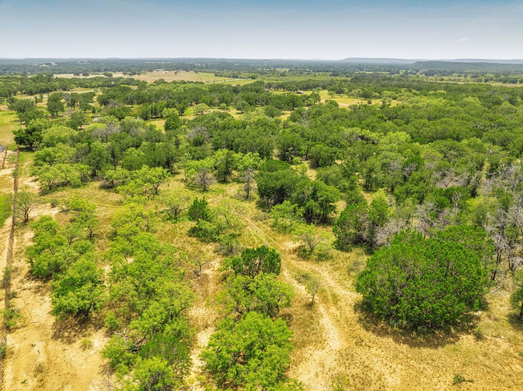
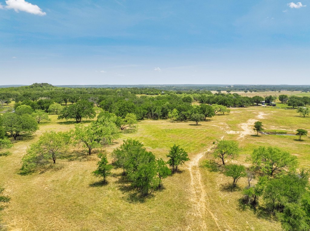
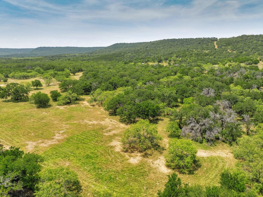
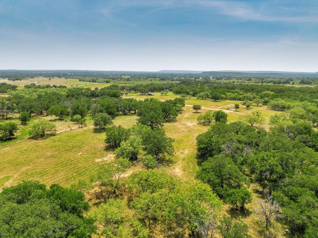
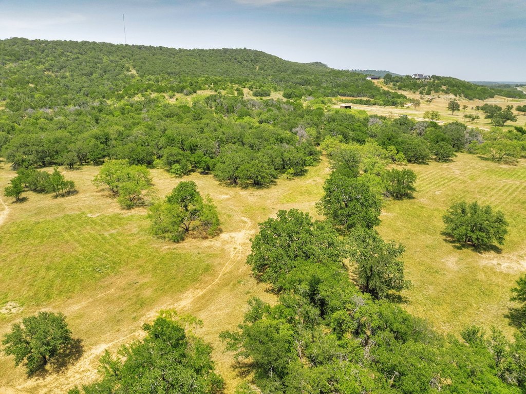
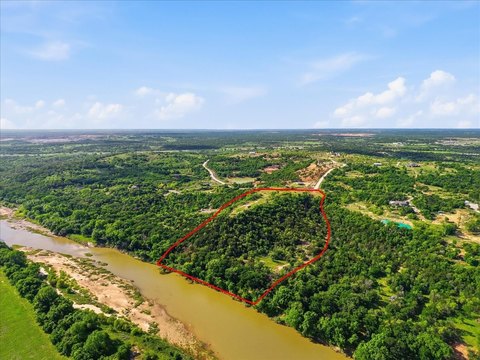
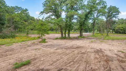
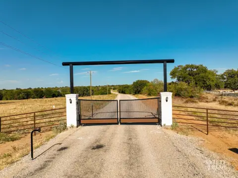
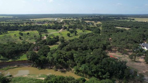
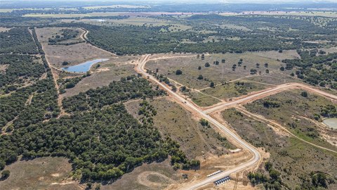
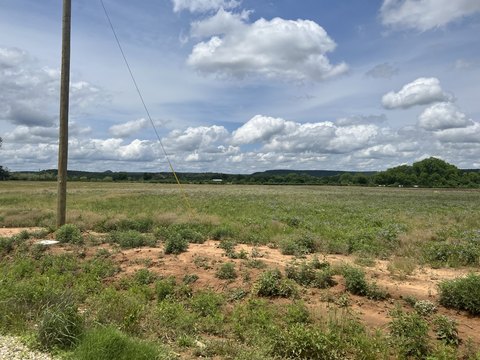
Unrestricted, ag-exempt property totaling 26.02 acres, offering a mix of open pasture and dense hardwood cover with mature oaks and other native trees. The land includes tree-covered trails and is described as supporting abundant wildlife, including whitetail deer and turkey, with other animals also noted in the listing remarks. Fiber internet is available on the property, providing a modern connection option alongside the rural setting.
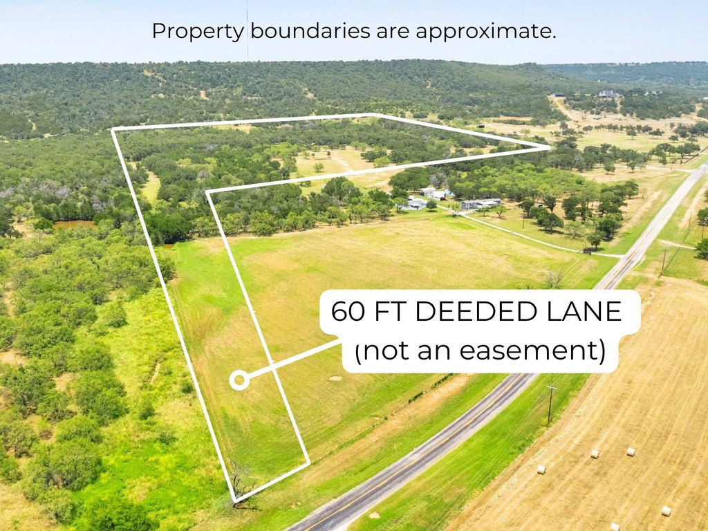
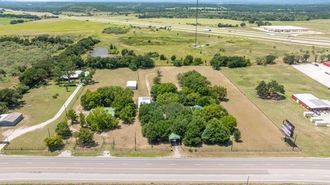
Located near Santo in Palo Pinto County, the listing notes paved road frontage and access to major routes, including being about 7 miles to I-20. The property is also described as approximately 6 miles from the new Turkey Peak Reservoir (slated for completion in 2028) and about 8.8 miles from Lake Palo Pinto.
With its combination of pasture, hardwood canopy, and recreational landscape, the property is presented as well-suited for agricultural use or outdoor recreation, with the listing also indicating views toward the Palo Pinto County hillside.
Key Highlights
- 26+ acres of unrestricted land with AG exempt status
- High‑speed fiber internet available
- Open pasture plus dense hardwood cover with mature oaks and tree‑lined trails
Property Analytics
Property Profile
Location Intelligence
Current Use by Public Records
Hunting land
Similar For Sale Nearby
FAQs
What type of property is this?
Agricultural land / Farmland - Unrestricted, ag-exempt land offering open pasture and dense hardwood cover with paved road frontage and fiber internet availability.
Where is this agricultural land / farmland located?
The property is located at 26.02 AC N Fm 129 Santo, TX.
What is the asking price?
The asking price for this property is $475,000.
What are key features of this property?
This property features: 26+ acres of unrestricted land with AG exempt status; High‑speed fiber internet available; Open pasture plus dense hardwood cover with mature oaks and tree‑lined trails