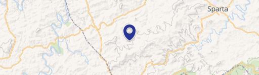
N Burnt Hill Road lot 0, Laurel Springs, NC 28644
- Added:
- Jun 4, 2026
- Days on Market:
- 23
- Last Refresh:
- Jun 26 at 1:06 pm
Property Features for N Burnt Hill Road lot 0
General Information
- Property type
- Land
- Property subtype
- Other
- Zoning
- NZ
- Standard status
- Active
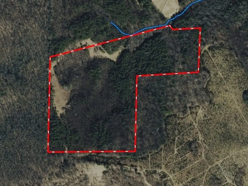
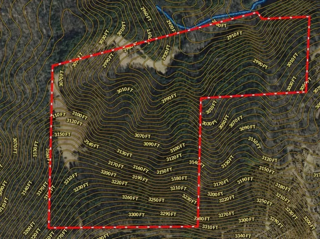
- Lot size
- 42.27 Acres
Taxes and HOA fees
- Tax Year
- 2025
- Tax Annual Amount
- 903
Utilities
- Water front features
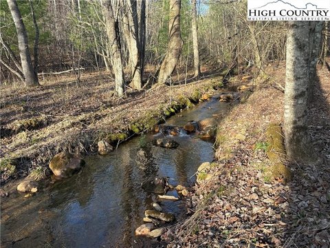
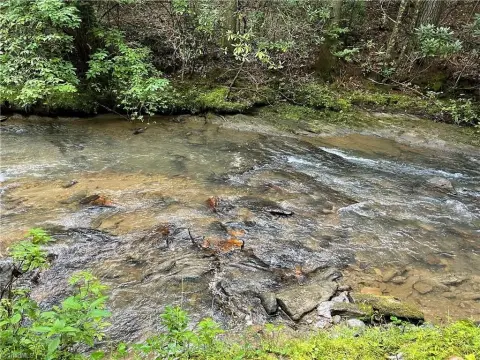
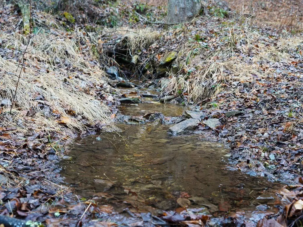
- Creek
- Water front
- 1
Listing agent Justin Rolfe License #291385 (704) 998-1013
Listing office Mossy Oak Properties Land and Luxury 9 Charity Hwy, Woolwine, NC (540) 299-7238
Listing date Jun 4, 2026
Copyright © 2026 Southwest Virginia Association of Realtors. All rights reserved. All information provided by the listing agent/broker is deemed reliable but is not guaranteed and should be independently verified.
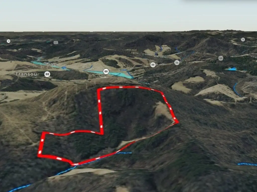
HighLights
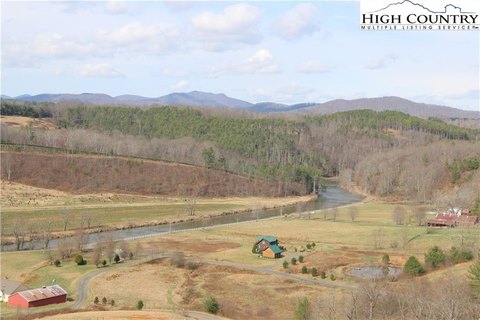
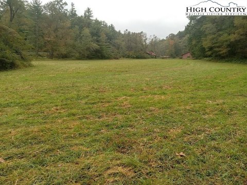
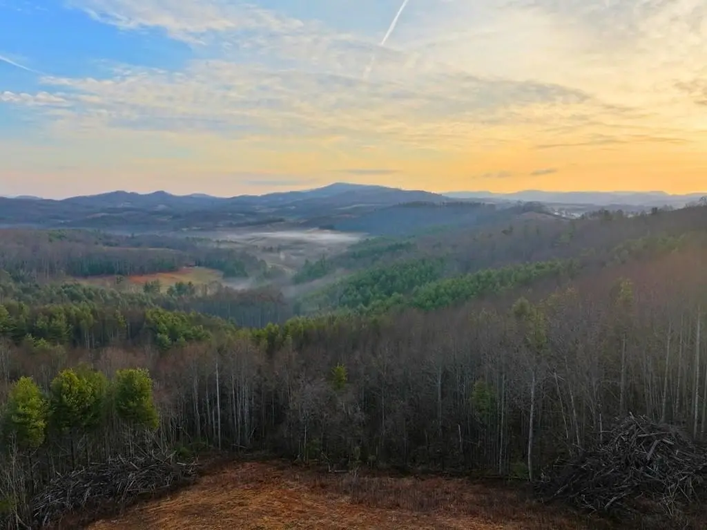
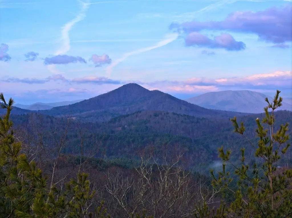
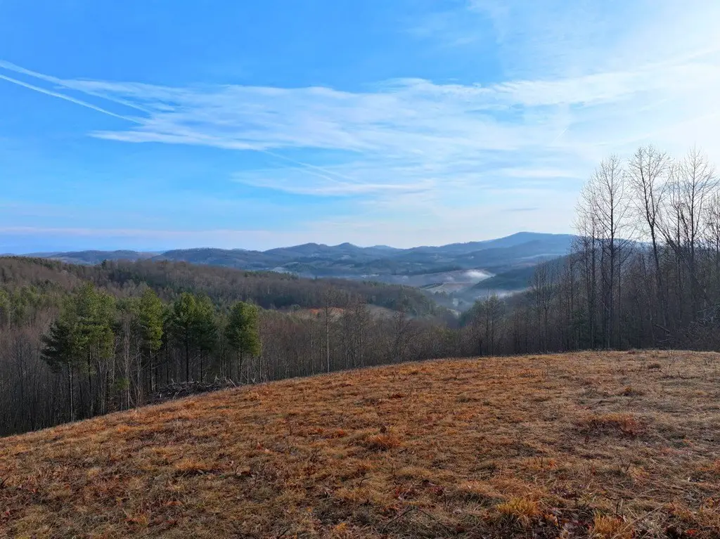
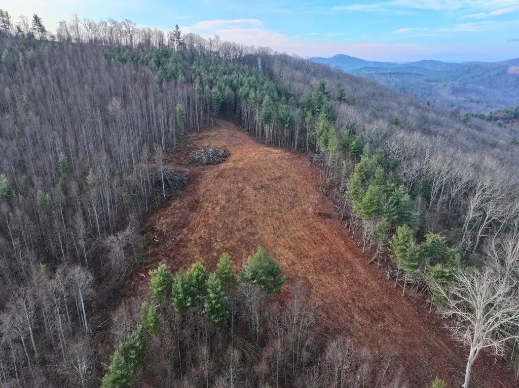
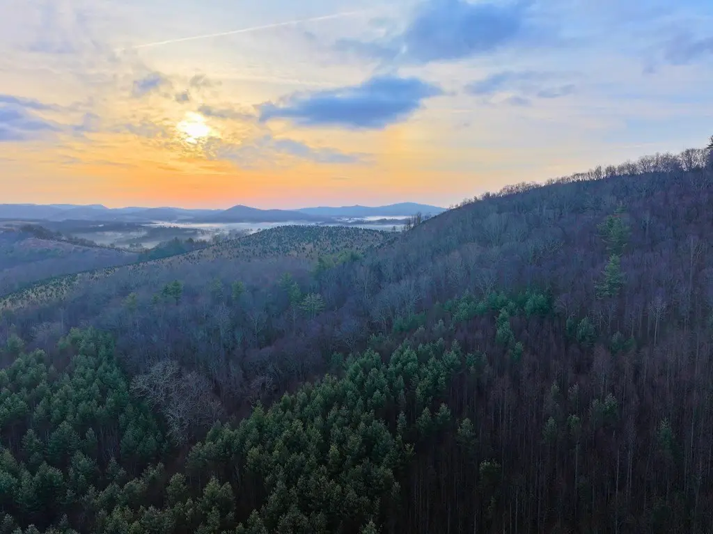
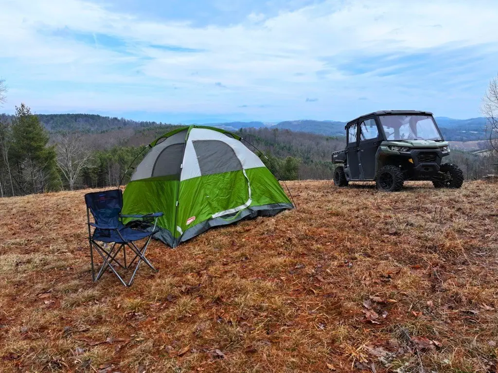
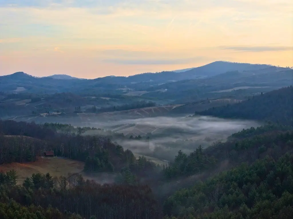
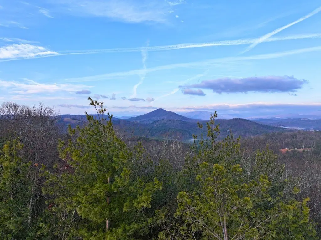
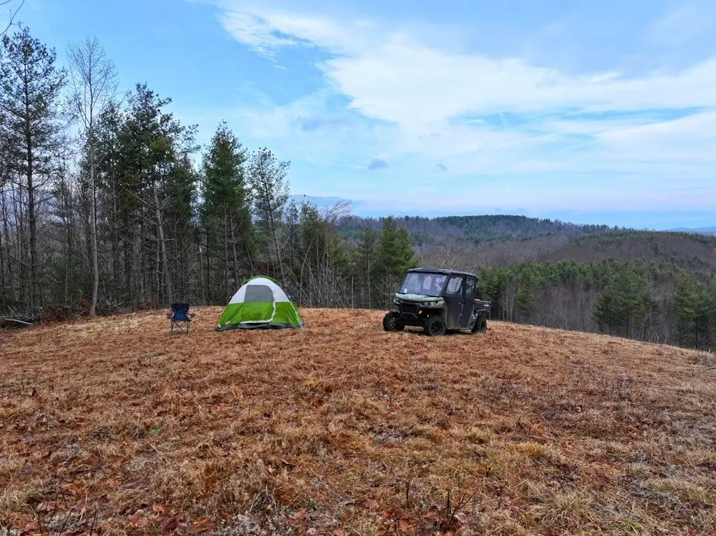
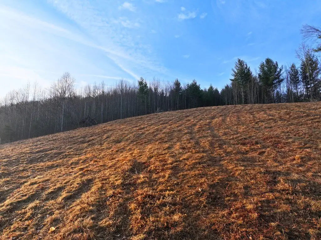
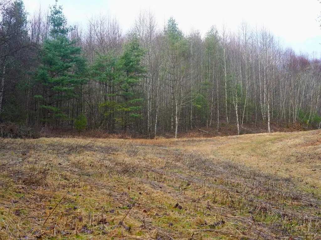
- Sweeping views from a 1+ acre pasture at ~3,200' elevation, with sunrise views over the eastern mountains.
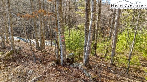
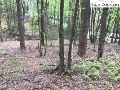
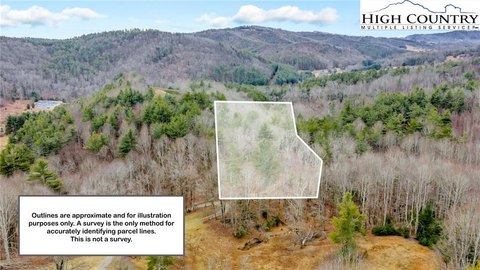
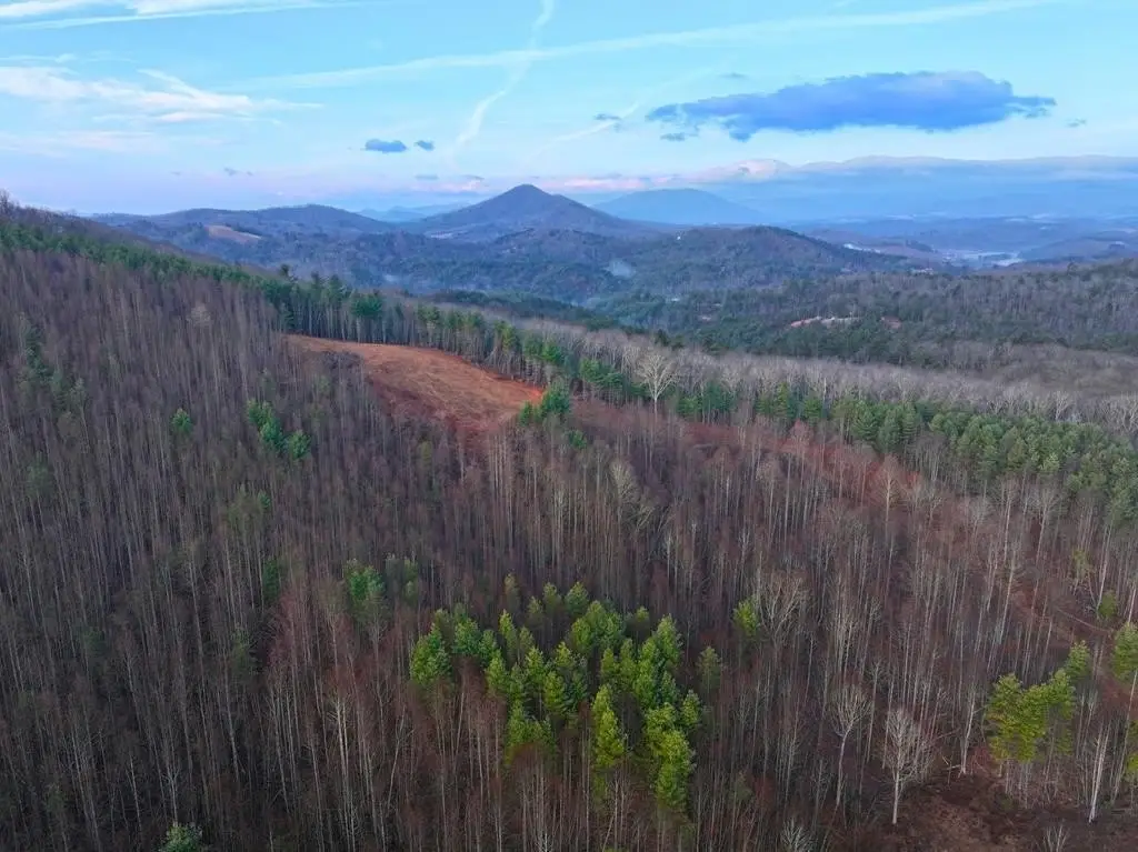
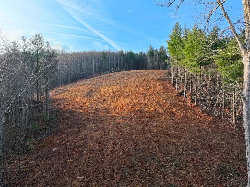
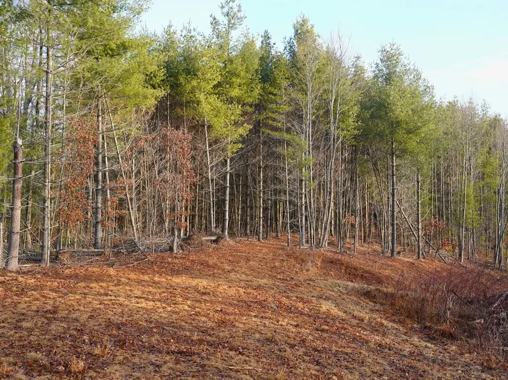
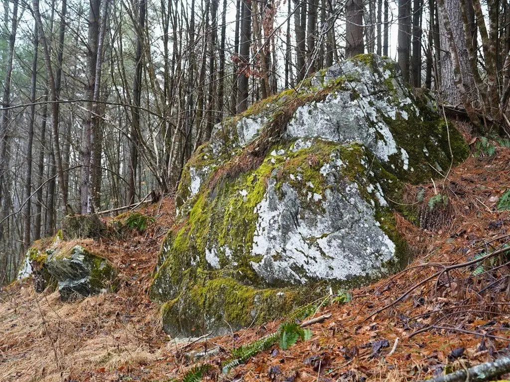
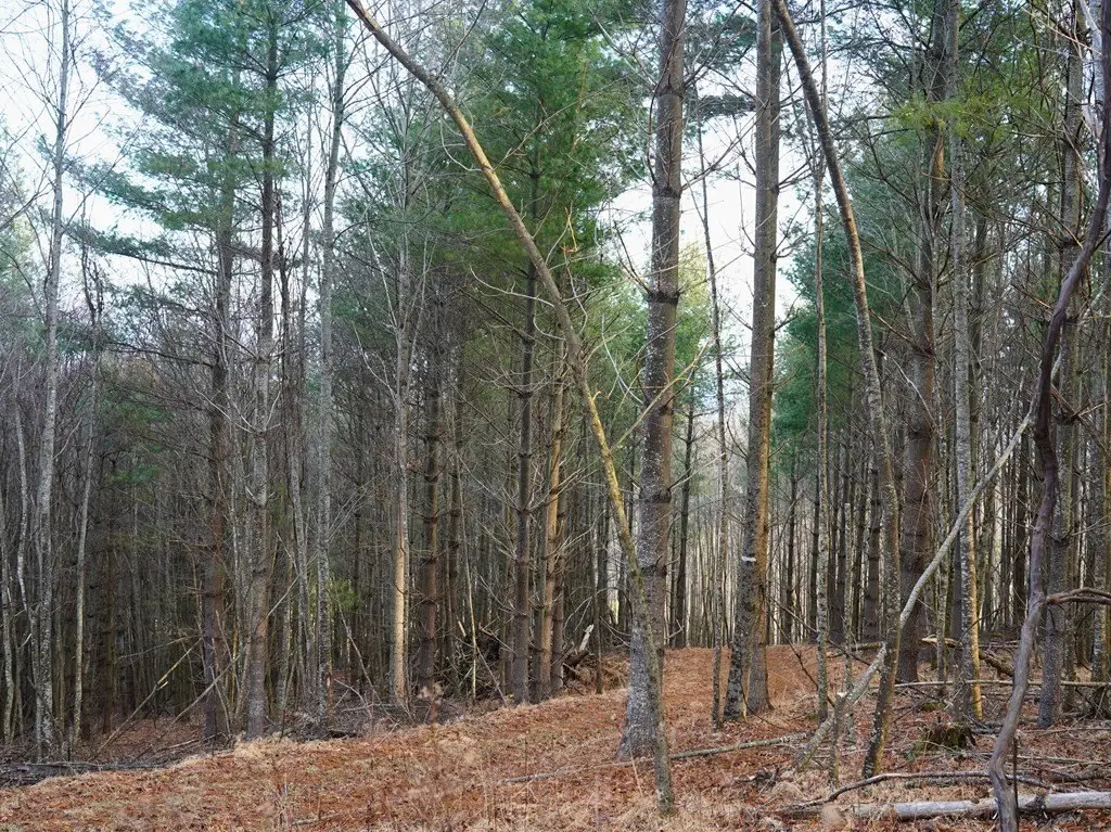
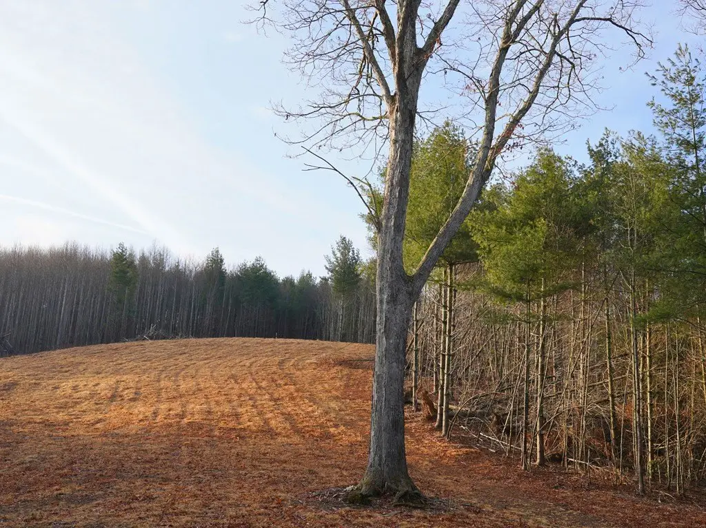
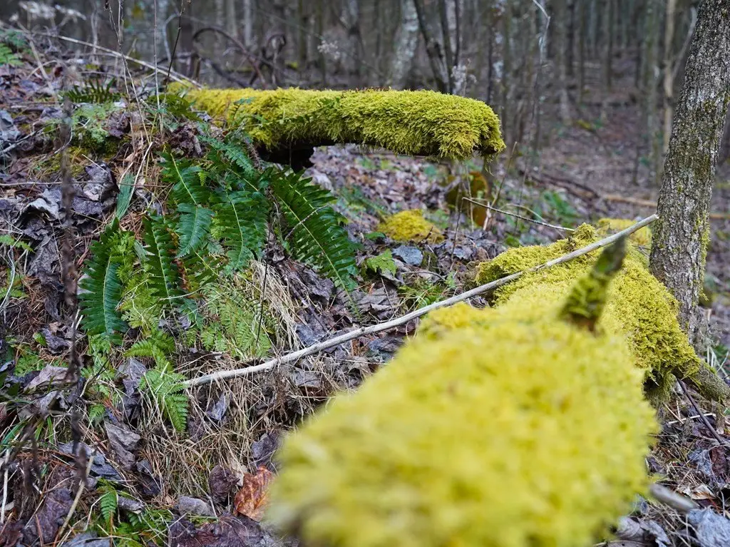
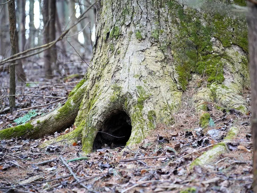
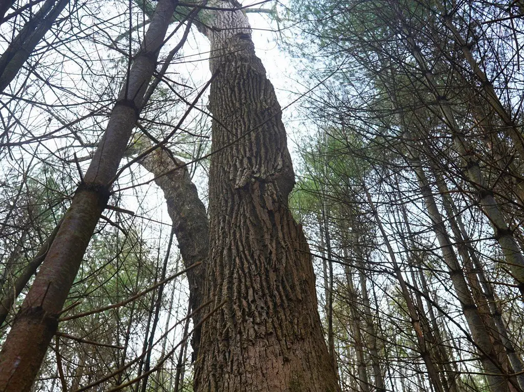
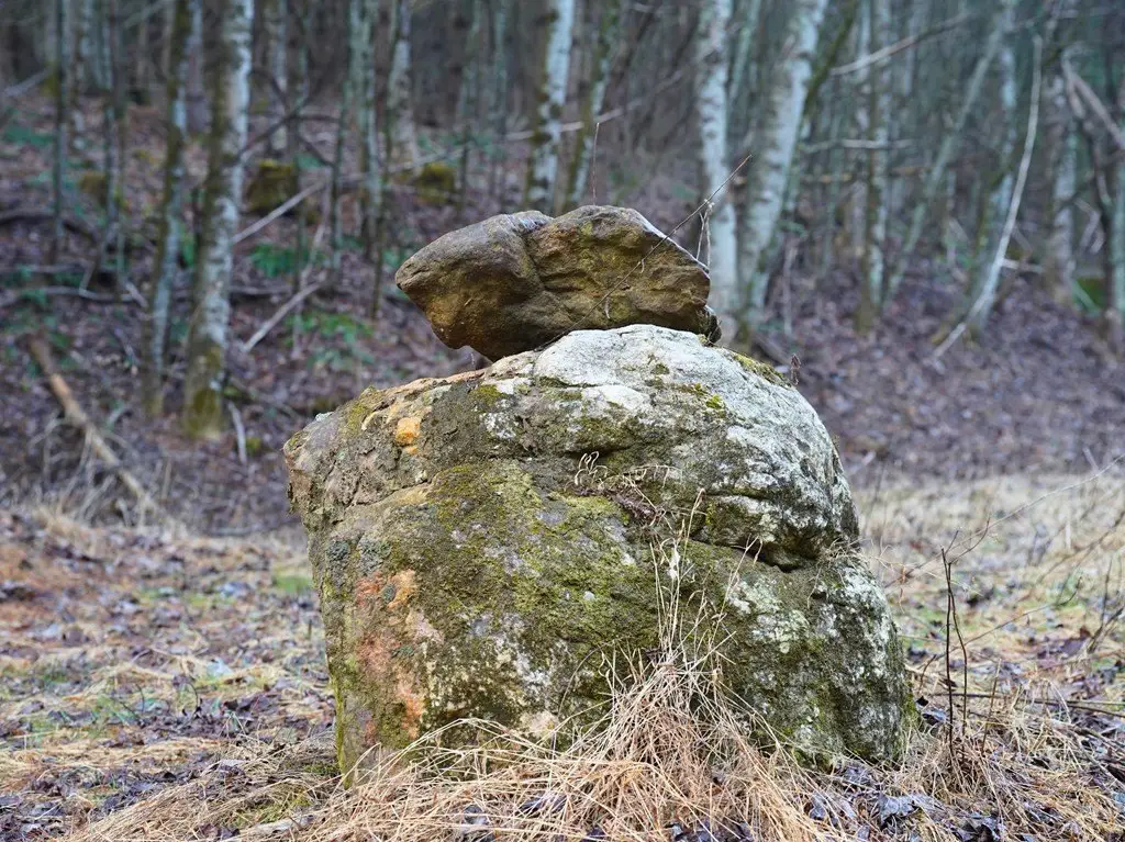
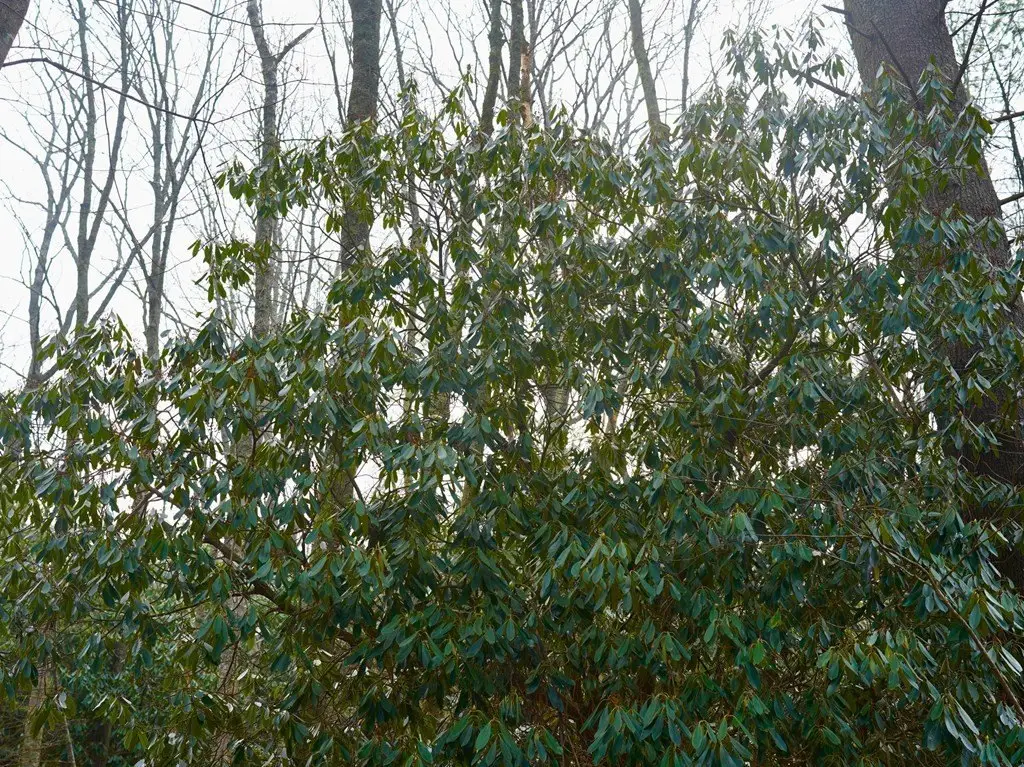
- 42+\/- acres of diverse terrain including rock formations, hardwood bottoms, and a small meadow.
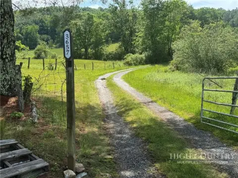
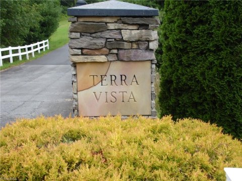
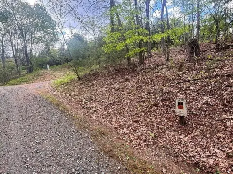
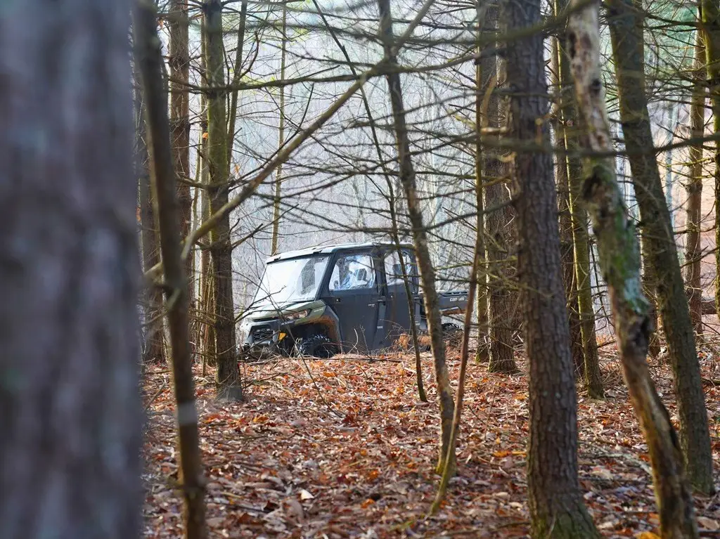
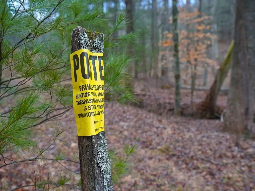
- Private access via a driveway from a state‑maintained road, ensuring privacy and seclusion.
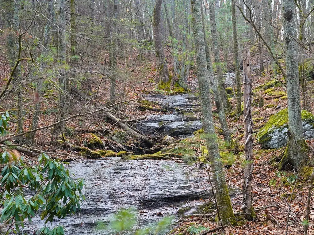
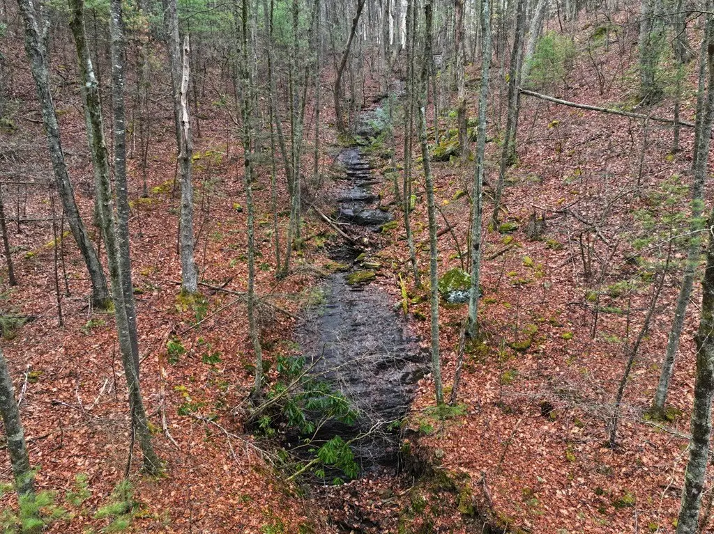
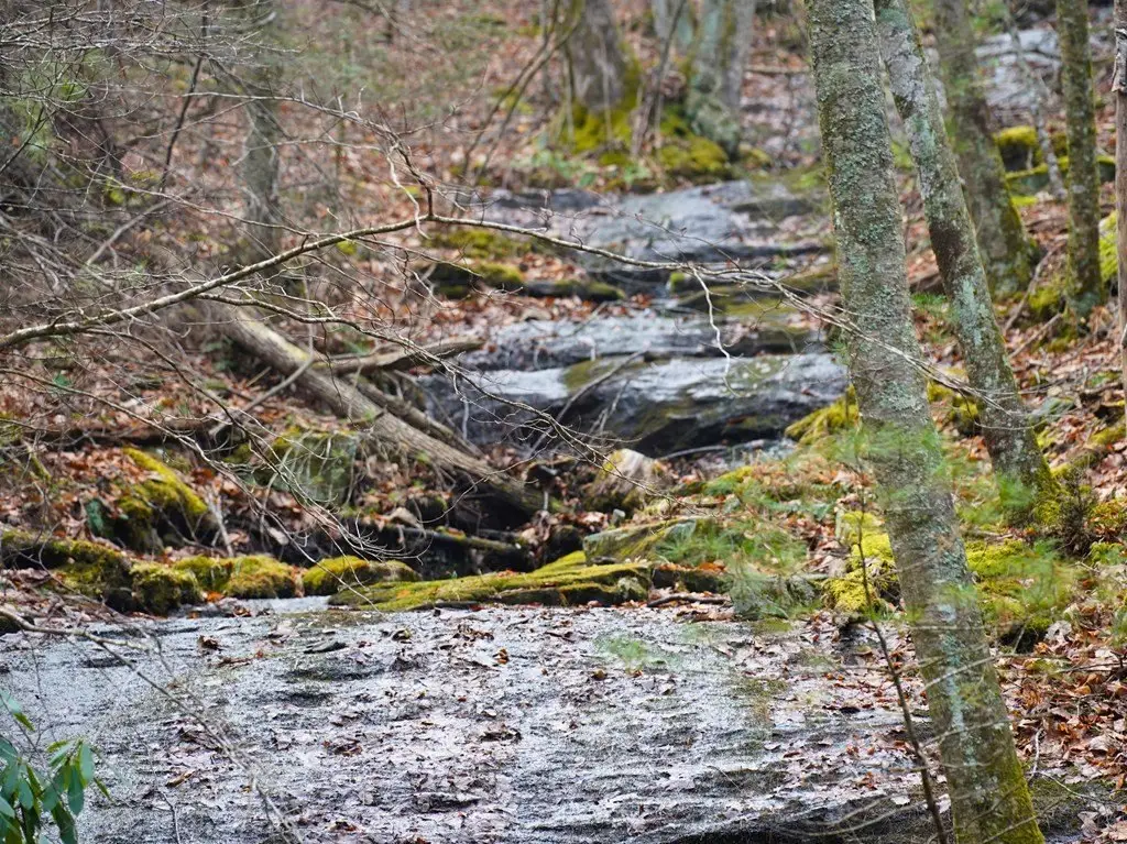
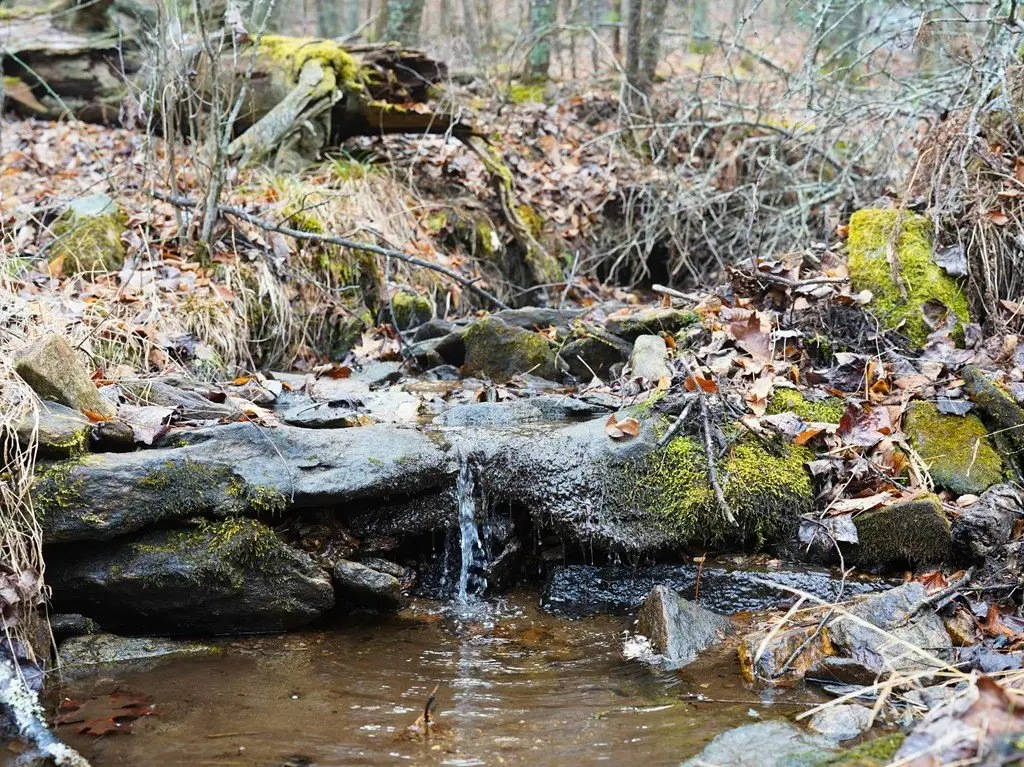
- Creek with a cascading rock feature at the entrance, creating an idyllic mountain setting.
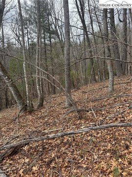
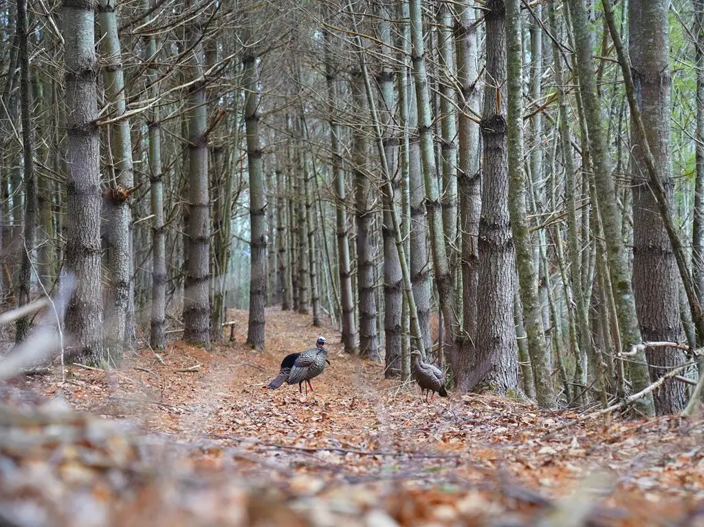
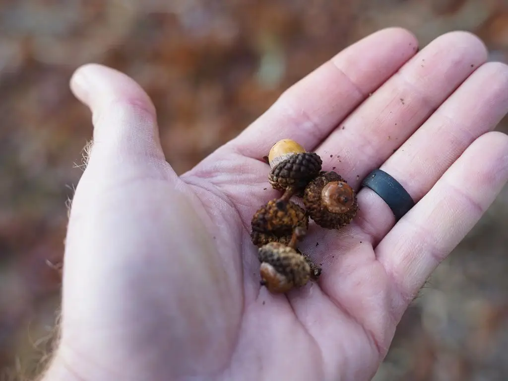
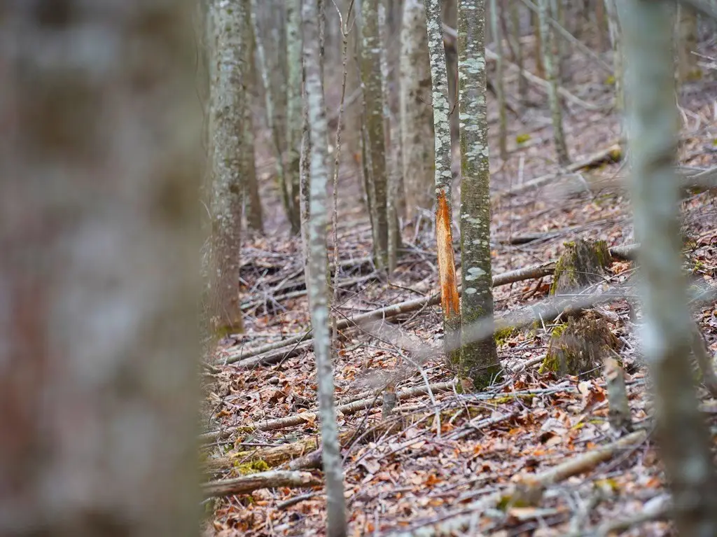
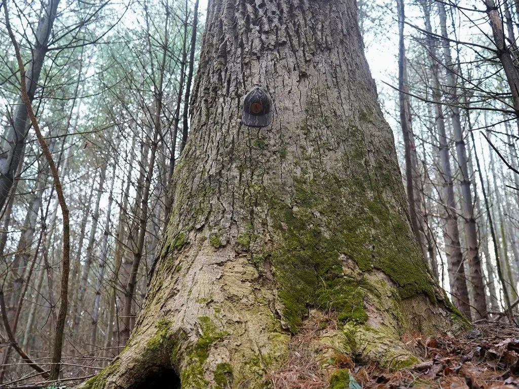
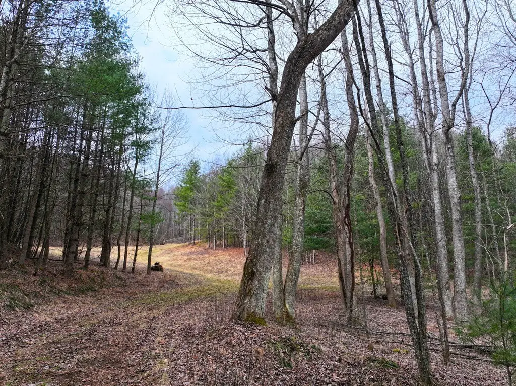
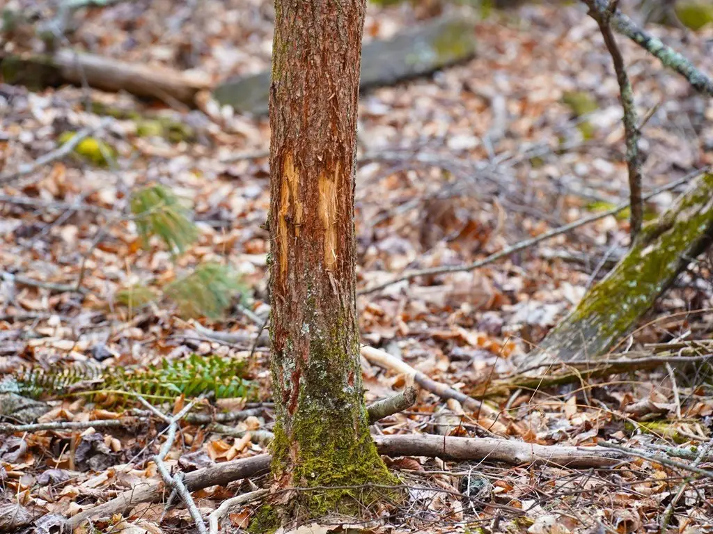
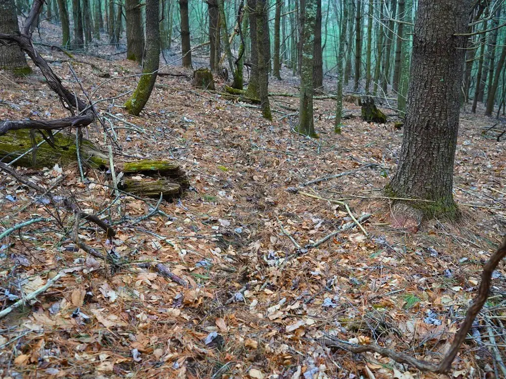
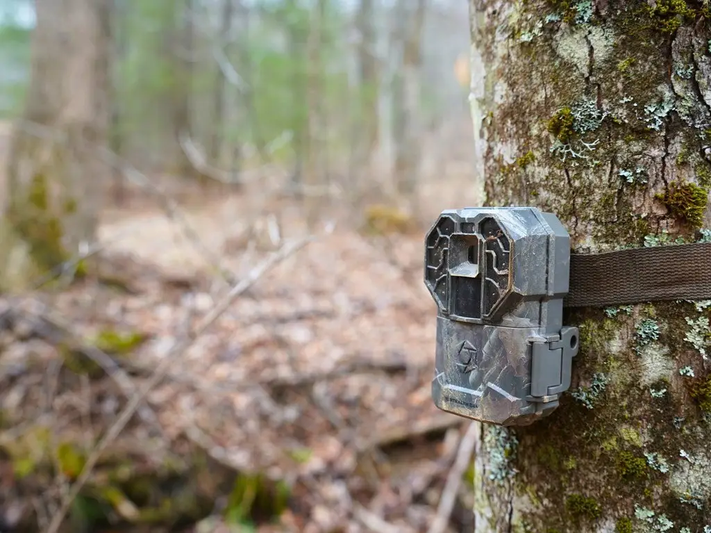
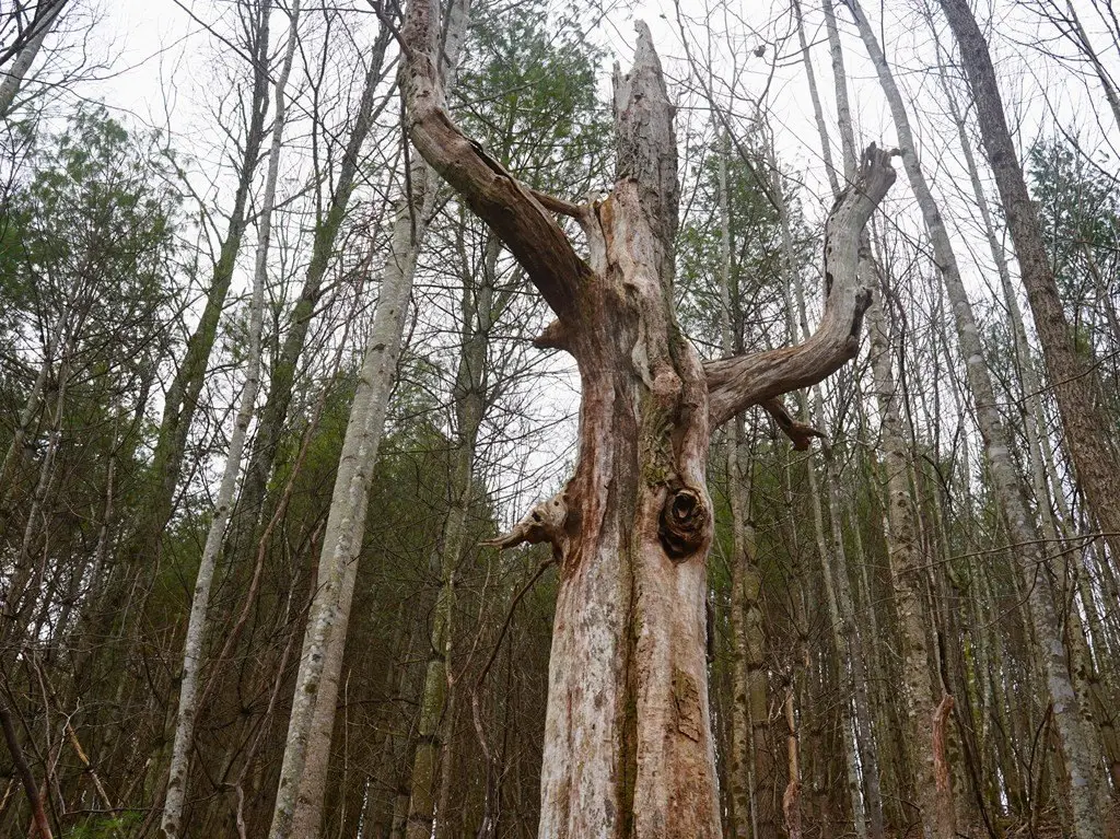
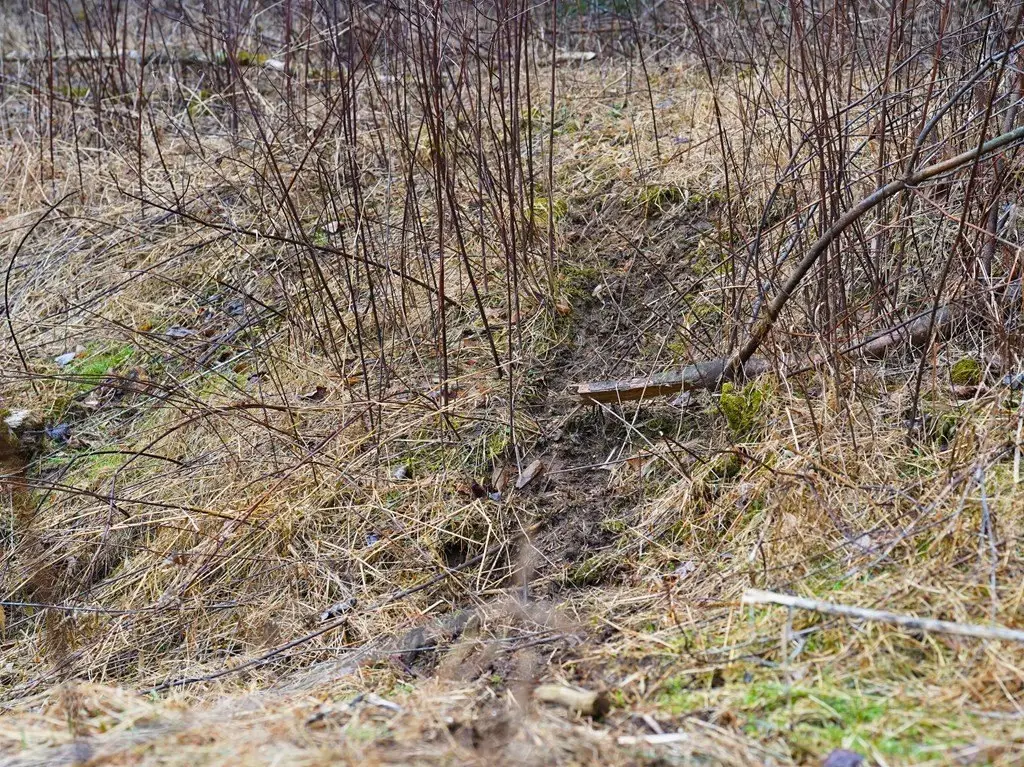
- Abundant wildlife habitat with timber and well‑worn deer trails, suitable for hunting and exploring.
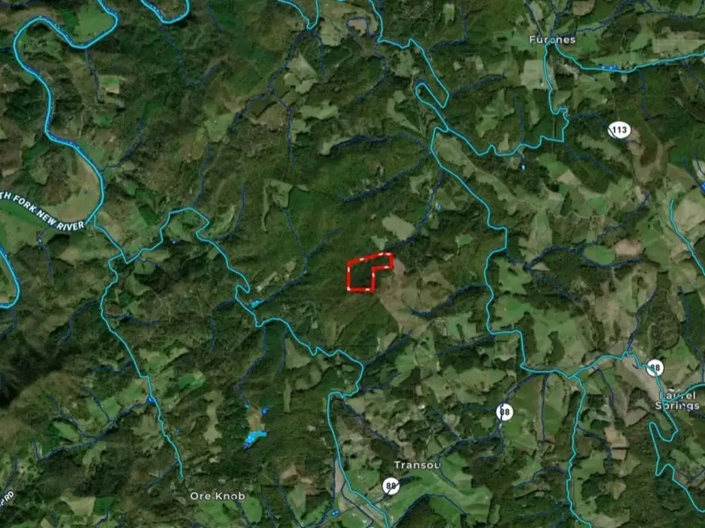
- Convenient location between Sparta & West Jefferson, with easy access to amenities and nearby attractions like Cranberry Creek, New River State Park, and the Blue Ridge Parkway.
Overview
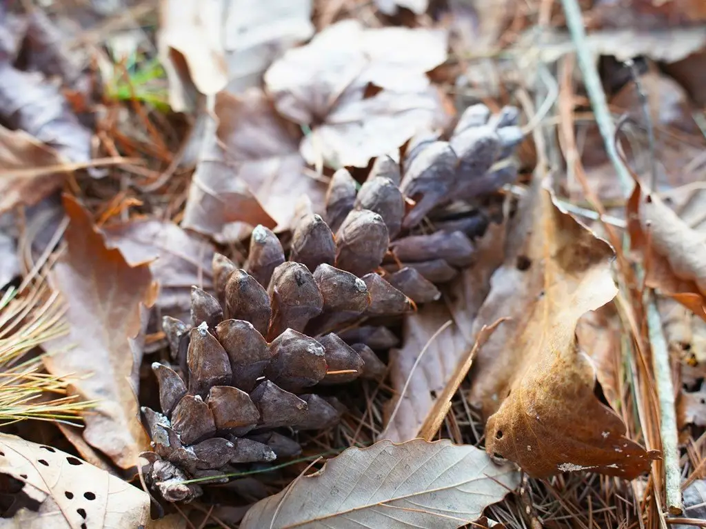
Access is via a private drive from a state-maintained road. Timber throughout the tract includes species such as cherry, hemlock, poplar, and oak, and the property has well-worn deer trails crossing the hillsides and bedding areas along the ridgetops. The land is situated between Sparta and West Jefferson, with dining and shopping available nearby while still maintaining privacy.
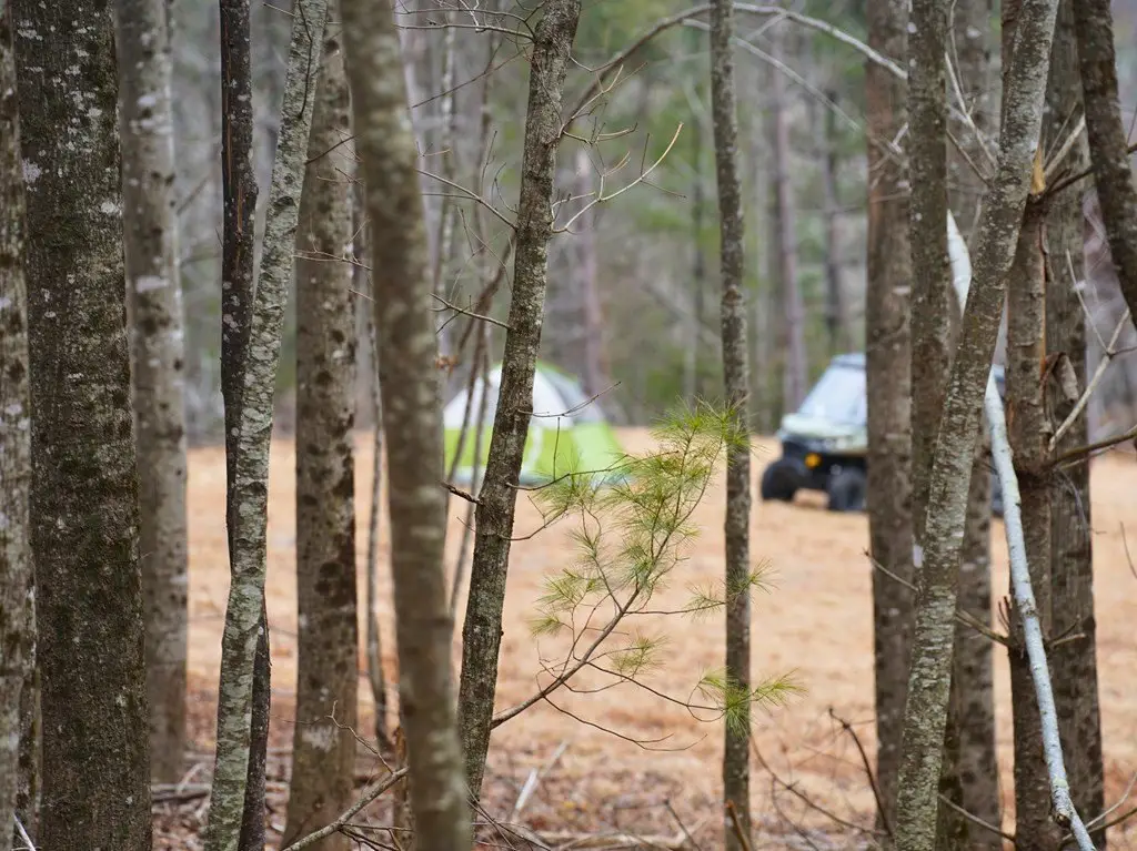
The mix of elevation, views, and usable ground supports outdoor recreation such as hiking, mountain biking, hunting, and exploring, as well as a cabin, full-time residence, RV setup, or camping retreat. Existing access and multiple terrain types may appeal to buyers looking for a self-contained High Country property with natural features and established wildlife habitat.
Current Use by Public Records
Map
- City
- Laurel Springs
- County
- Alleghany
- State
- North Carolina
- Longitude
- -81.30204249
- Latitude
- 36.42998325