Wooded Recreational
For Sale
$120,600
V/L N Bear Track, White Cloud, MI 49349
Land, White Cloud, MI
Property SizeContact for details
Lot Size12.06 Acres
Days on Market8
Property Features for V/L N Bear Track
General Information
Property type
Land
Property subtype
Other
Lot features
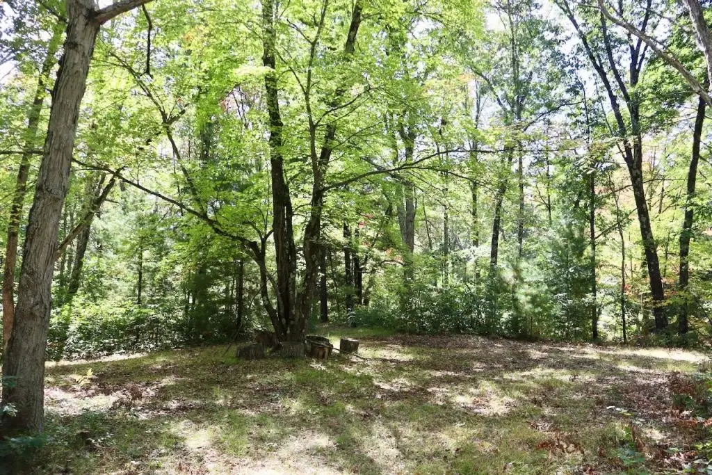
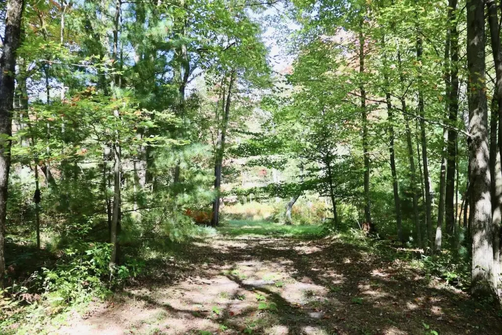
Level, Rolling Hills, High Bank, Buildable, Wetland Area, Wooded
Elementary school district
White Cloud
Middle school district
White Cloud
High school district
White Cloud
Directions
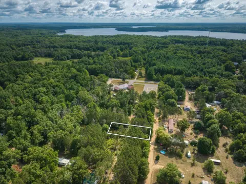
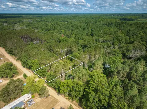
From Whitecloud: Take M-20 ( E. Baseline Rd) approx 5.2 miles to the east. Turn left on N. Bear Track Rd. Follow N. Bear Track Rd approximately .15 miles to the driveway entrance on the west side. Property has frontage on N. Baseline, but the driveway access is off of N. Bear Track Rd.
Standard status
Active
APN
12-31-400-019
Lot size
12.06 Acres
Taxes and HOA fees
Tax Description
PT SE1/4 SEC 31, T14N-R11W, GOODWELL TWP, BEG S1/4 COR SD SEC, TH N01D06'56"E 993.35 FT, TH S89D56'11"E 1320.74 FT, TH S00D58'26"W 33 FT, TH N89D56'11"W 820.50 FT, TH S00D58'13"W 960.23 FT, TH N89D56' 41"W 502.76 FT TO POB 12.06A9/22/2026PARENT PARCEL(S): 12-31-400-018;CHILD PARCEL(S): 12-31-400-019, 12-31-400-020
Legal Description
PT SE1/4 SEC 31, T14N-R11W, GOODWELL TWP, BEG S1/4 COR SD SEC, TH N01D06'56"E 993.35 FT, TH S89D56'11"E 1320.74 FT, TH S00D58'26"W 33 FT, TH N89D56'11"W 820.50 FT, TH S00D58'13"W 960.23 FT, TH N89D56' 41"W 502.76 FT TO POB 12.06A9/22/2026PARENT PARCEL(S): 12-31-400-018;CHILD PARCEL(S): 12-31-400-019, 12-31-400-020
Utilities
Utilities
Cable Available
Water front features
Pond
Water front
1
Listing Agency:
Whitetail Properties Real Estate, LLC
(217) 407-0814
Listed By:
Casey Keefer
(989) 488-8954
Added: Oct 14
Changed: Oct 18
Last Checked: Oct 21 at 11:06AM
MLS# 26055498
Copyright © 2026 Michigan Regional Information Center, LLC. All rights reserved. All information provided by the listing agent/broker is deemed reliable but is not guaranteed and should be independently verified.

Ask AI about this property
Review the available facts, identify missing information and prepare questions for the agent.
Investment Insights
Based on property information with market context.
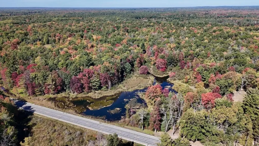
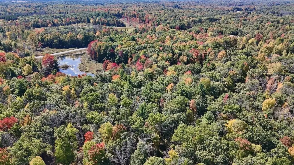
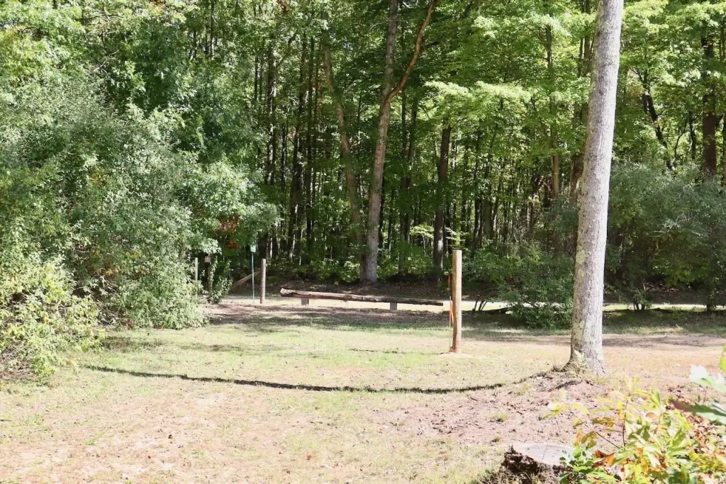
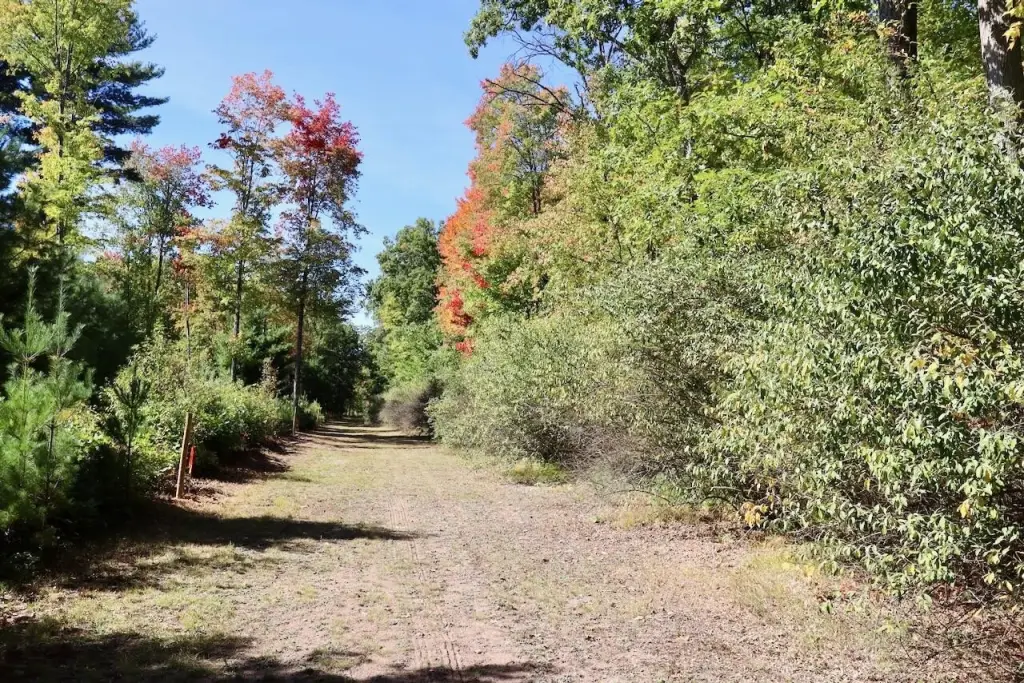
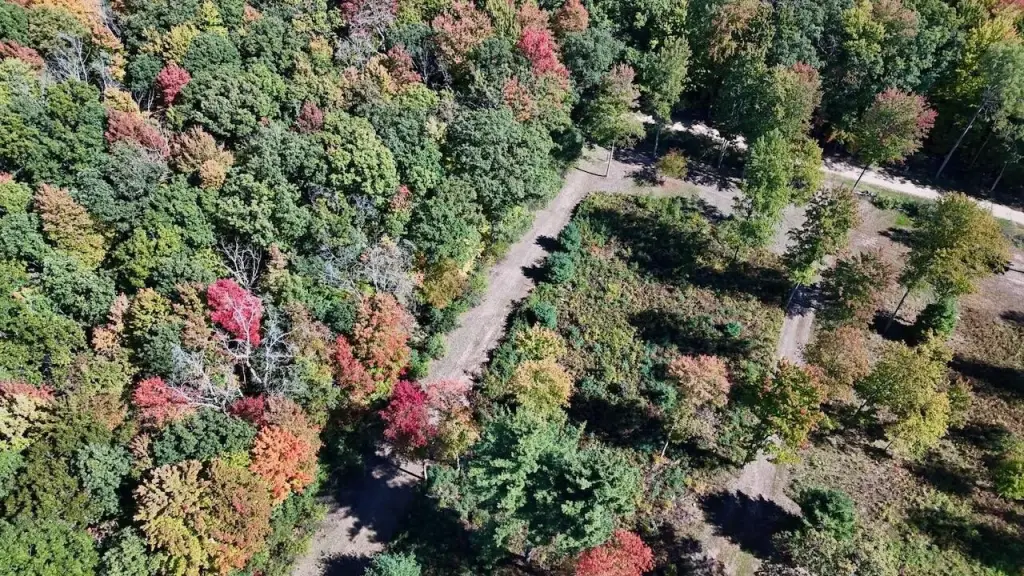
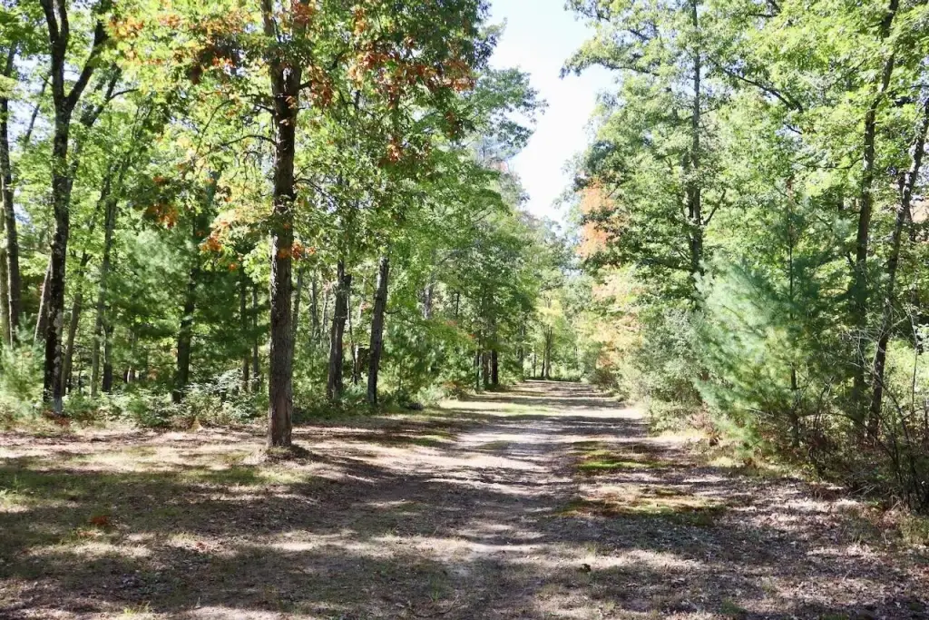
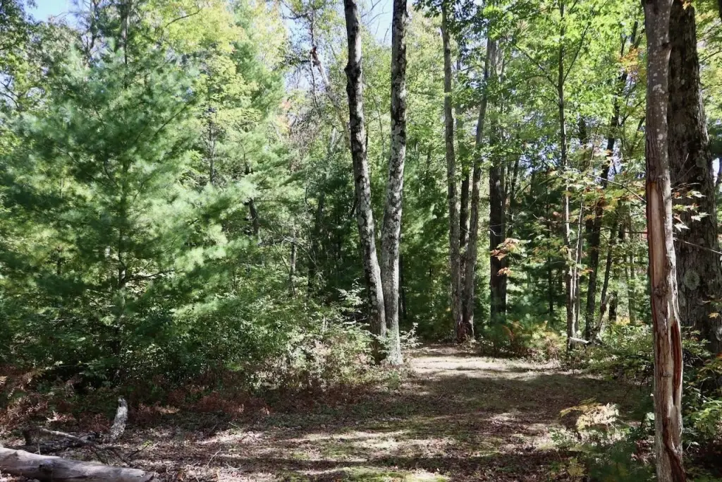
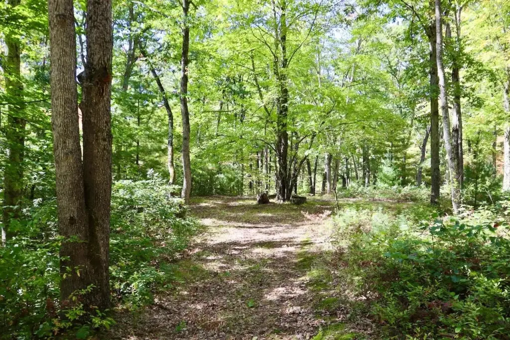
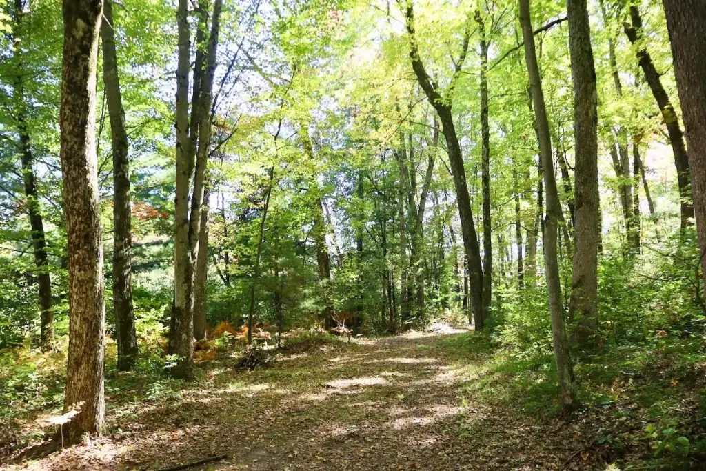
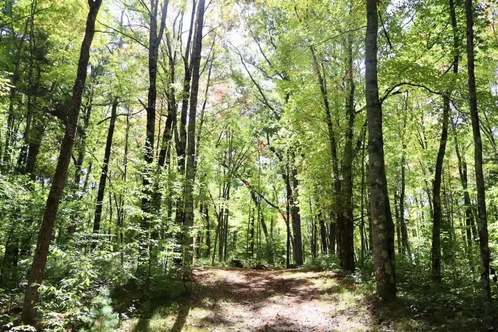
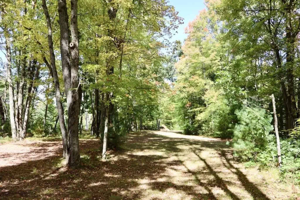
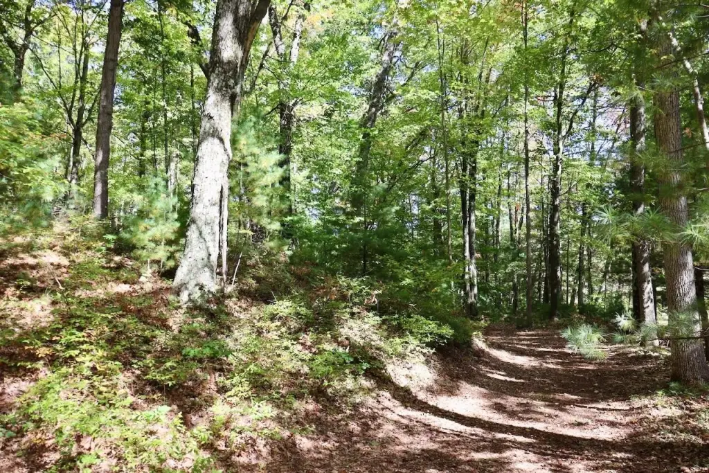
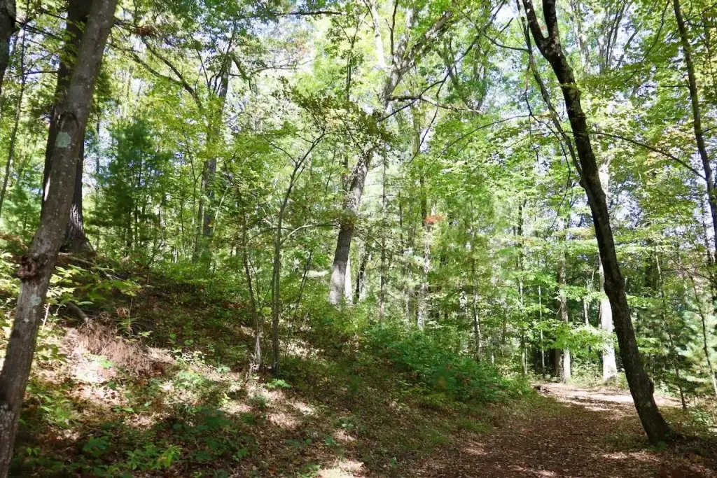
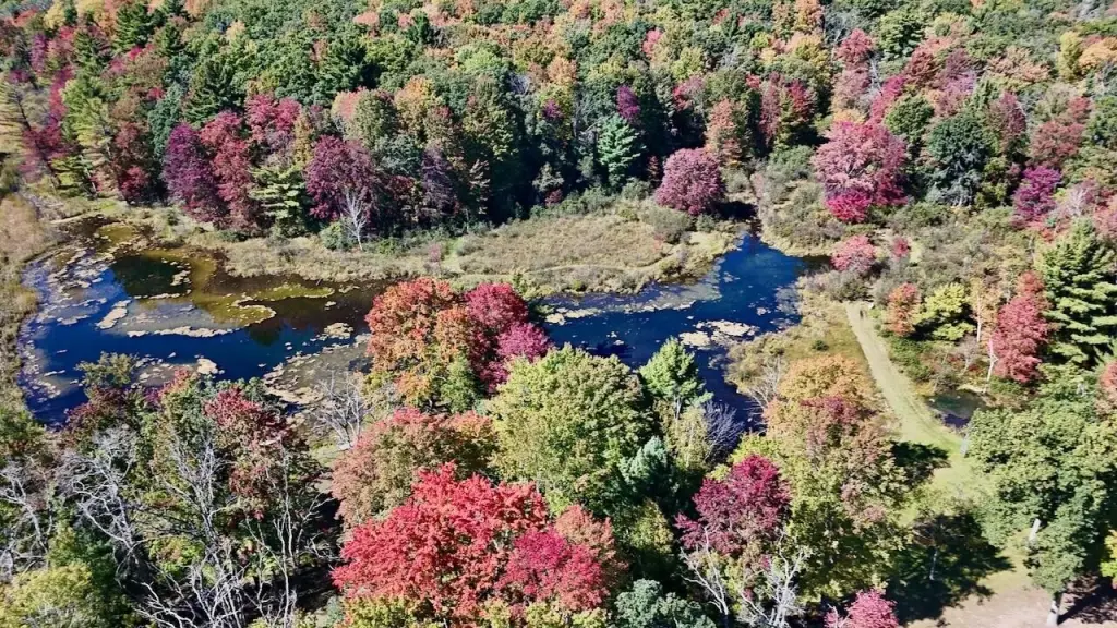
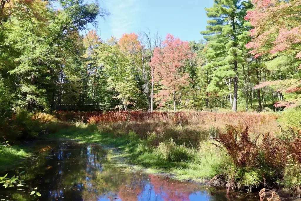
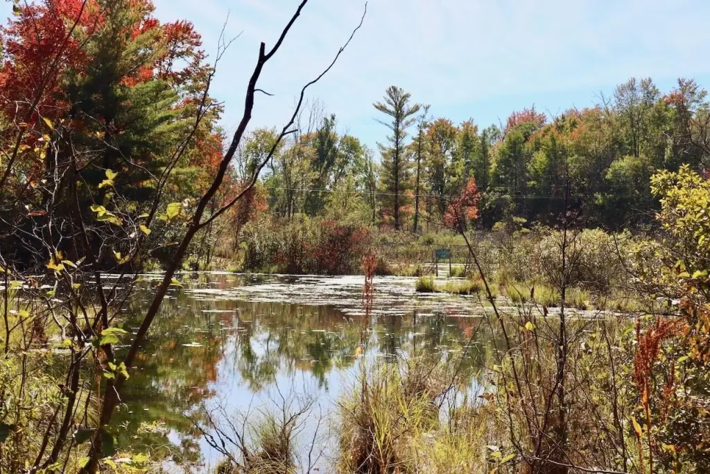
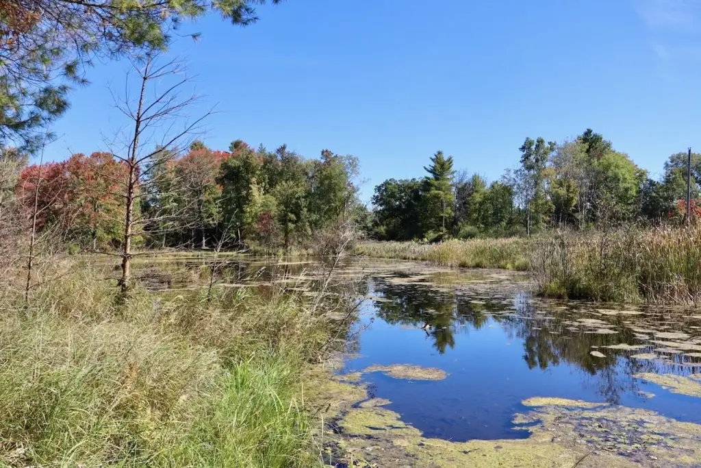
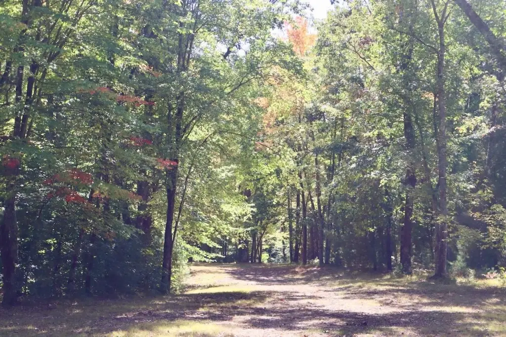
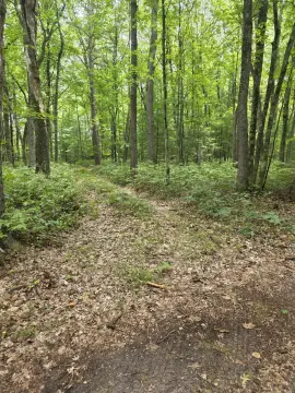
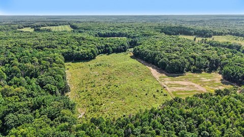
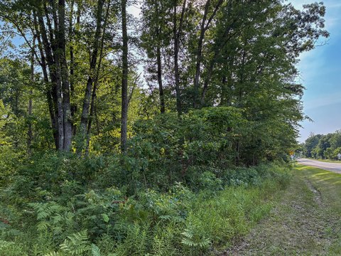
This 12.06-acre tract in Newaygo County has mature oak and maple, established pines, varied terrain, and a beaver pond. An elevated area overlooking the pond has been identified as a potential building site, though soil and site evaluations have not been completed and construction remains subject to local requirements. The property may also support outdoor recreation such as hiking, wildlife observation, and hunting, subject to applicable regulations.
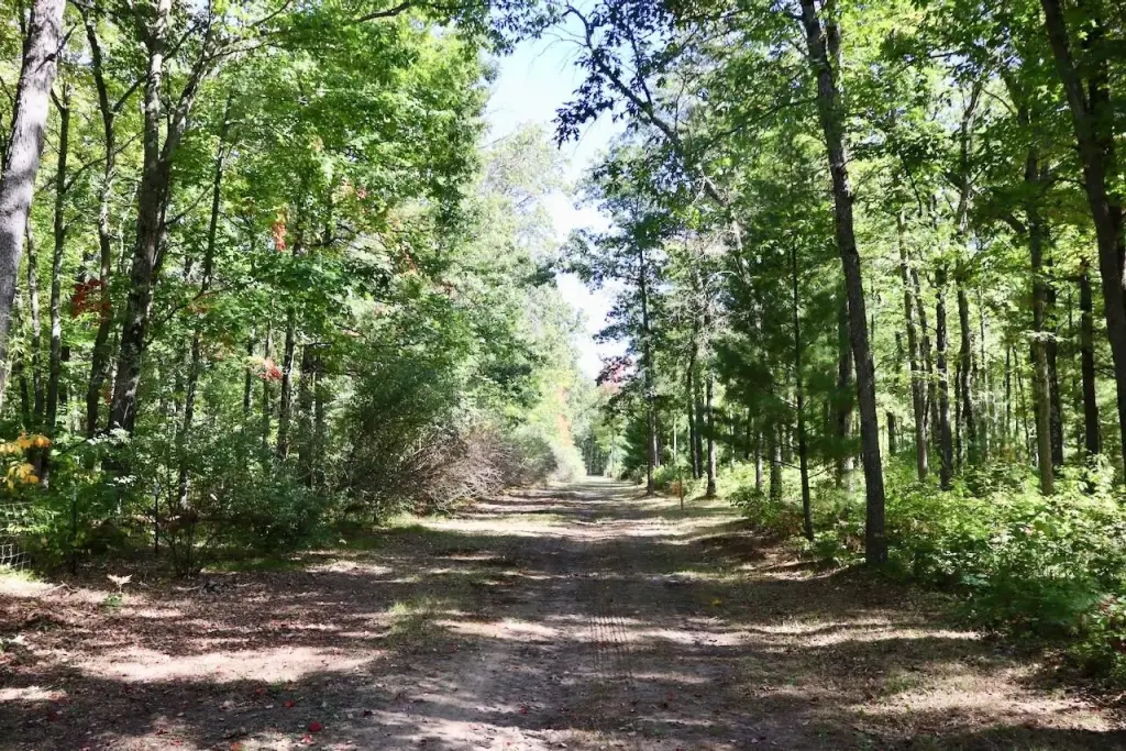
A winding driveway from N. Bear Track Road provides documented legal access through the wooded interior. Electrical service is available from E. Baseline Road; connection requirements and costs should be confirmed with the utility provider. The property lies between White Cloud and Stanwood, with regional travel options via the US-131 and M-37 corridors.
A winding driveway from N. Bear Track Road provides documented legal access through the wooded interior. Electrical service is available from E. Baseline Road; connection requirements and costs should be confirmed with the utility provider. The property lies between White Cloud and Stanwood, with regional travel options via the US-131 and M-37 corridors.
Key Highlights
- 12.06 acres of wooded land in Newaygo County
- Mature oak and maple hardwoods, established pines, varied terrain, and a beaver pond
- Elevated area overlooking the pond identified as a potential building site; soil and site evaluations are incomplete
Location Intelligence
Trade Area within ½ mile
Explore this area
Business Placement
Demographics for 49349, MI
8,361
Population
4,265
Households
2
Avg Household Size
45
Median Age
11%
College-Educated
85%
High-School Grad
197.1 sq mi
ZIP Area
42
Density / Sq Mi
$52,786
Median Household Income
$36,641
Median Earnings
$846
Median Rent
$139,300
Median Home Value





Frequently Asked Questions
What type of property is this?
Land - A beaver pond, mixed hardwoods and pines, and an elevated area identified as a potential building site shape the parcel.
Where is this land located?
The property is located at V/L N Bear Track White Cloud, MI.
What is the asking price?
The asking price for this property is $120,600.
What are key features of this property?
This property features: 12.06 acres of wooded land in Newaygo County; Mature oak and maple hardwoods, established pines, varied terrain, and a beaver pond; Elevated area overlooking the pond identified as a potential building site; soil and site evaluations are incomplete