Vacant Land with Creek
N 6398 Fred Tripp Road Springbrook, WI 54875
For Sale
$350,000
LAND - Springbrook, WI
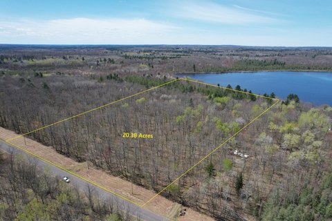
Lot Size63.70 Acres
Days on Market50
Property Features for N 6398 Fred Tripp Road
General Information
Property type
Land
Property subtype
Other
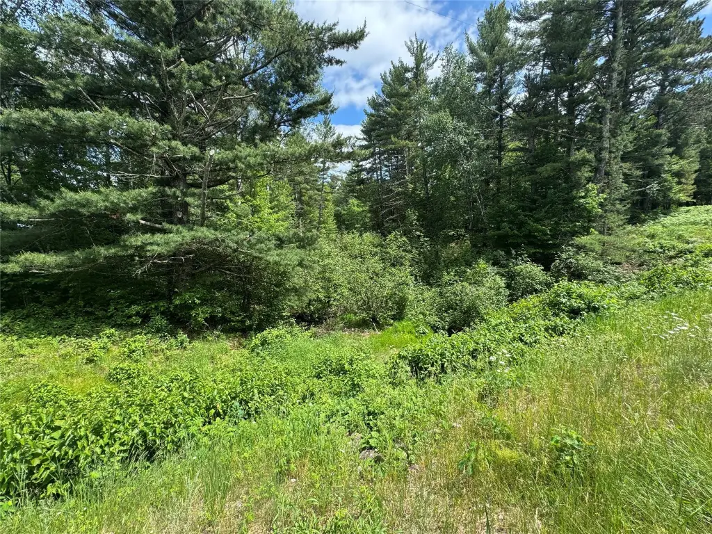
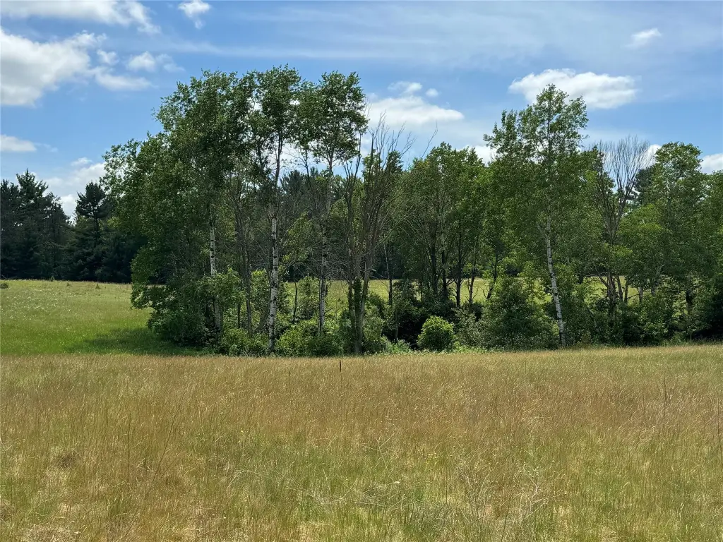
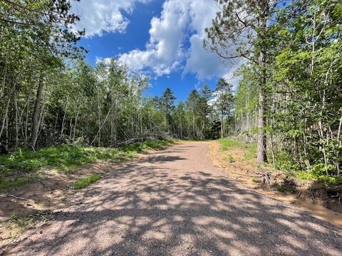
Vegetation
Wooded
Standard status
Active
APN
650402391018103000002000
Lot size
63.70 Acres
Taxes and HOA fees
Tax Year
2025
Tax Description
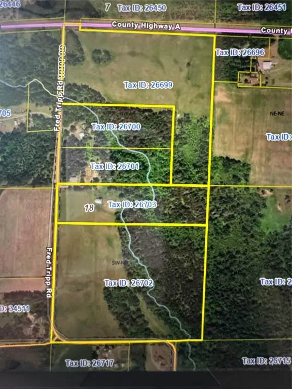
3 parcels:NORTH 10 AC SW NE DOC# 403736 QC, PT NW NE V 419 P 508-509 R/W - 1.30 AC DOC# 403265 WD, SW NE EXC N 10 AC DOC# 403737 QC
Tax Annual Amount
436
Utilities
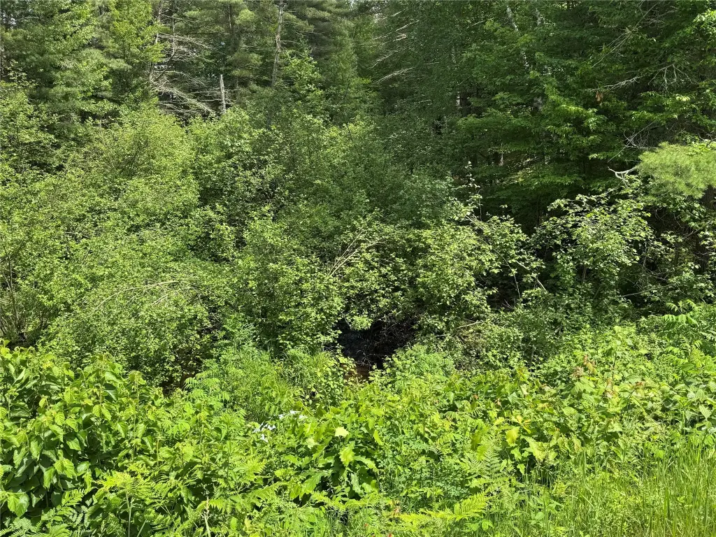
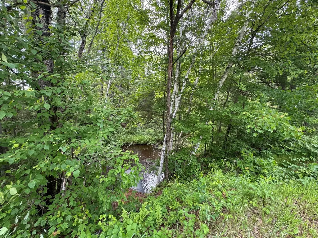
Water front features
Creek
Water front
1
Building Details
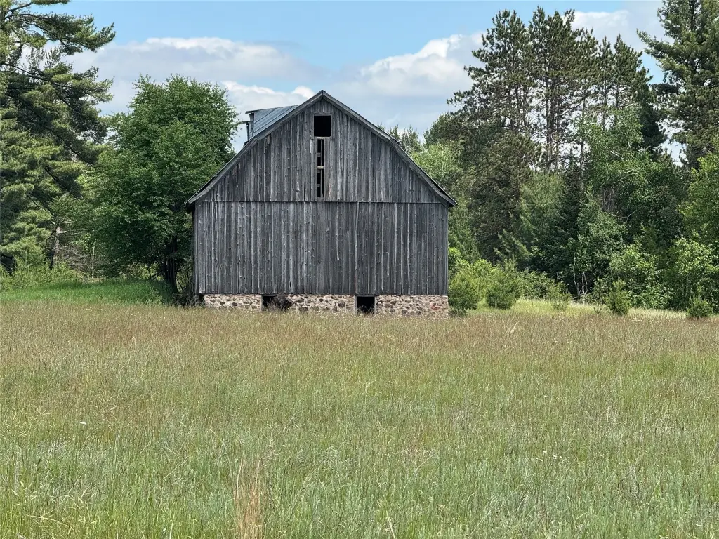
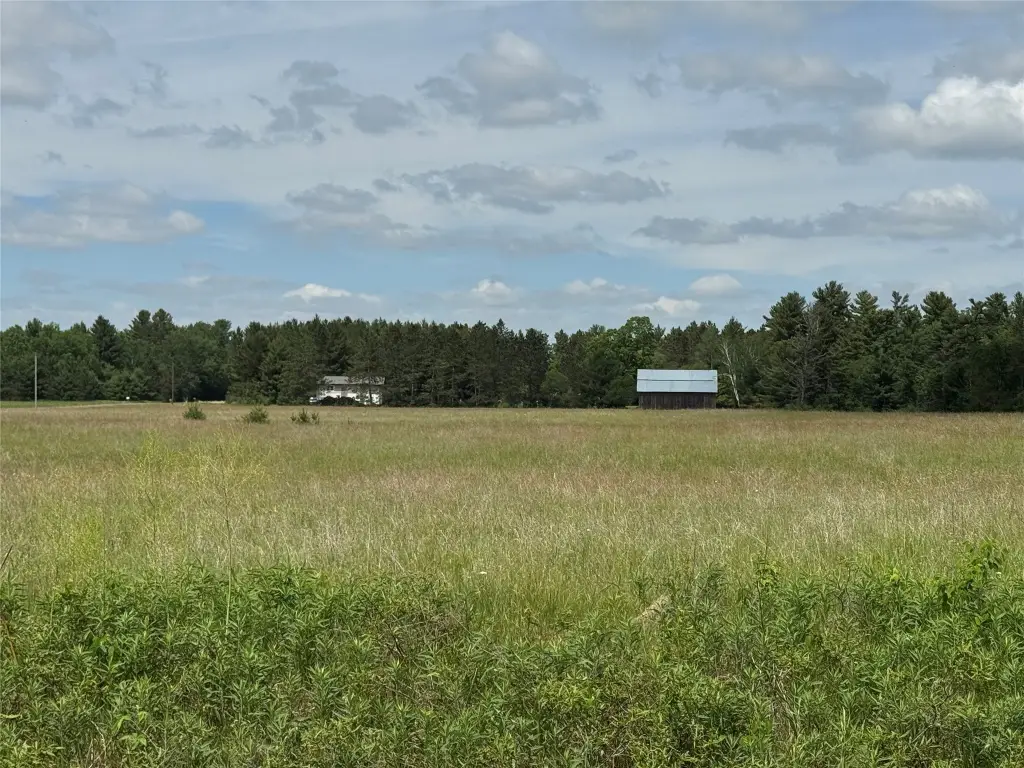
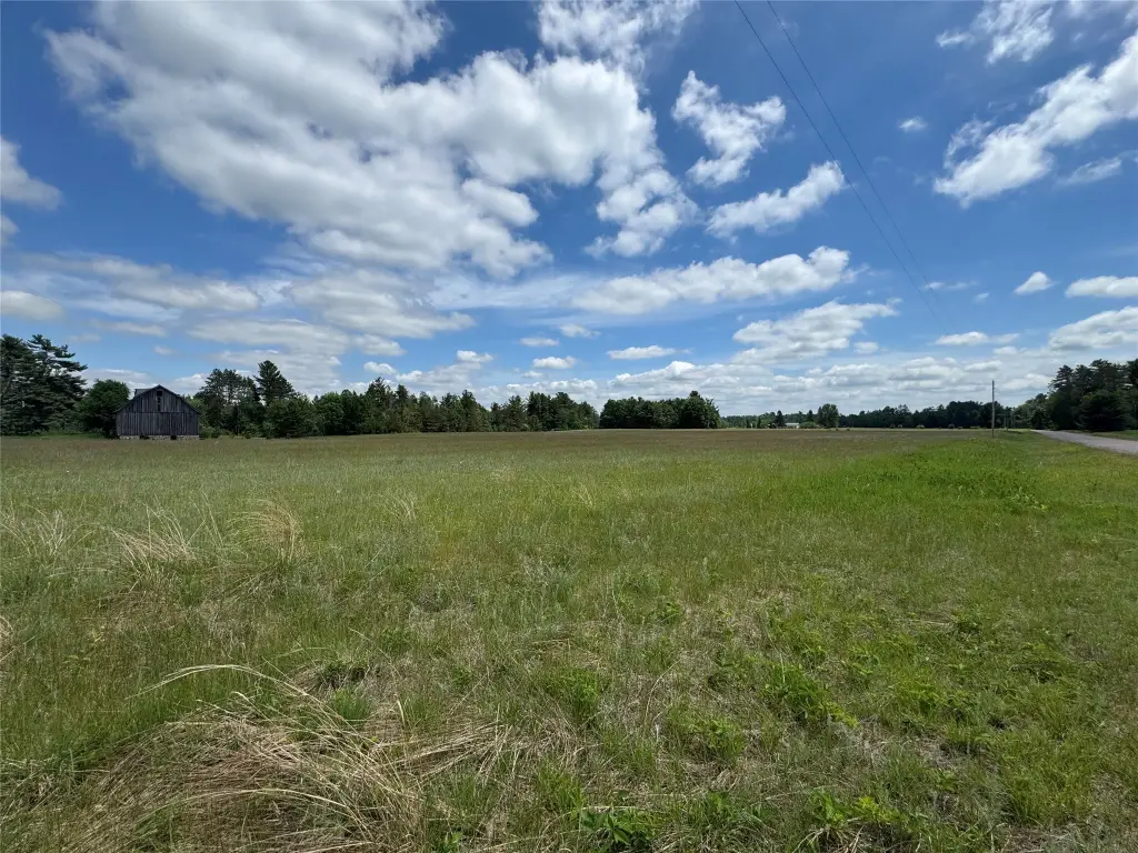
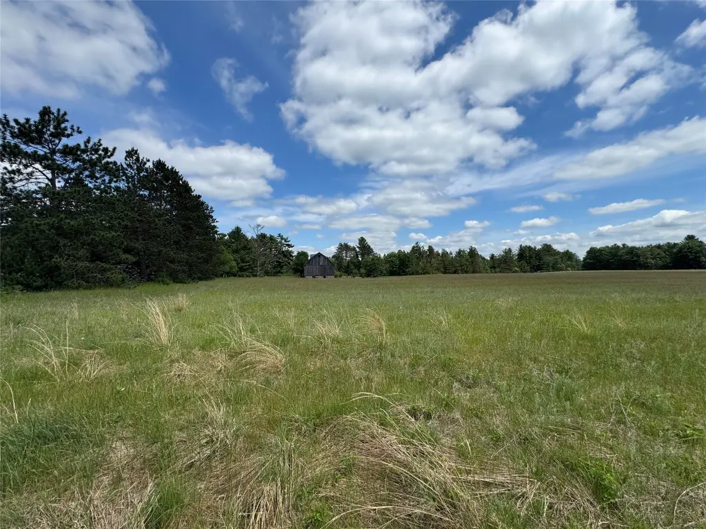
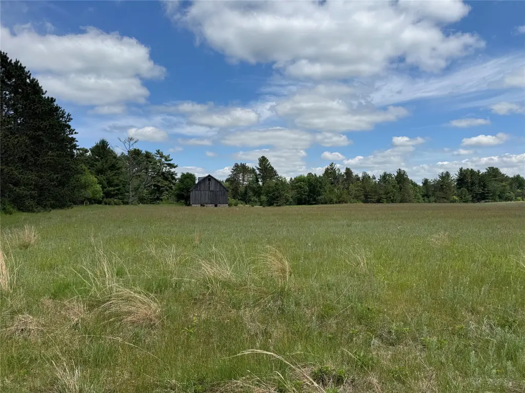
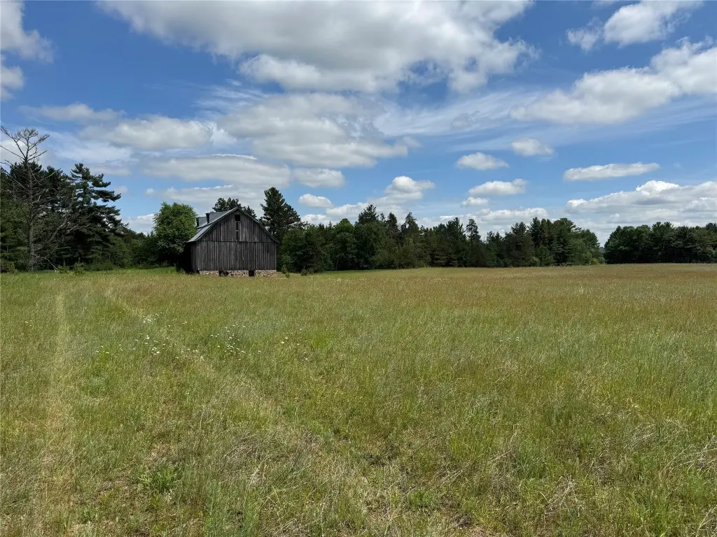
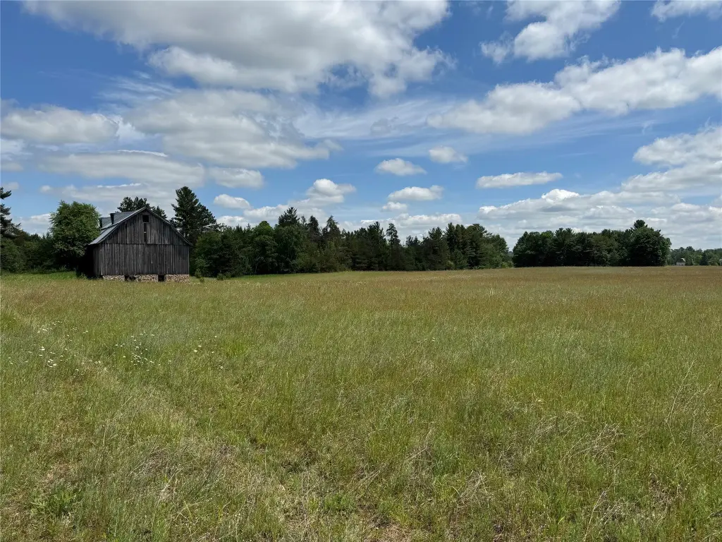
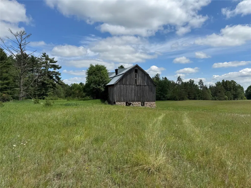
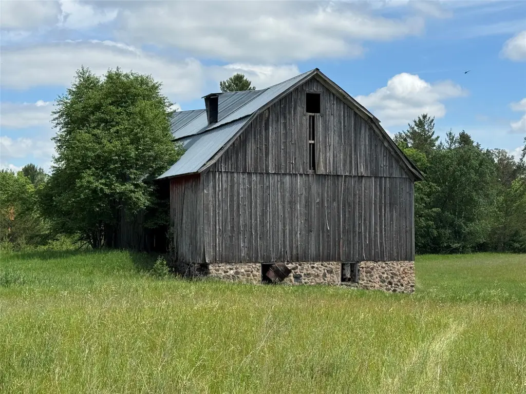
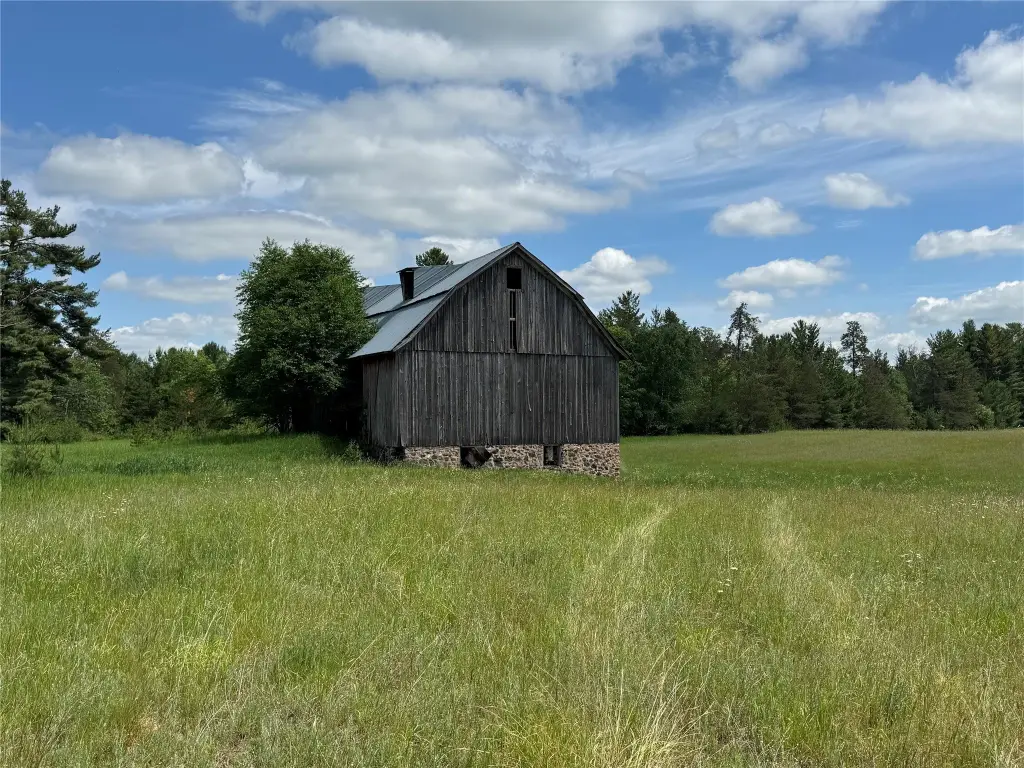
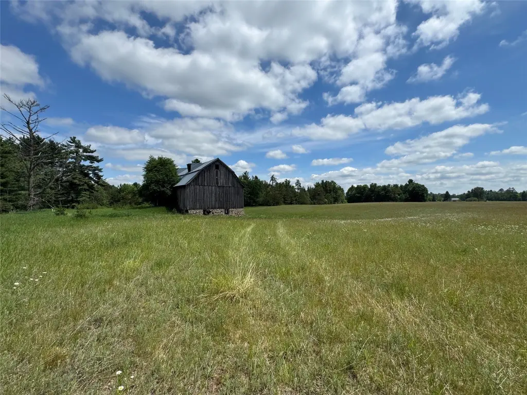
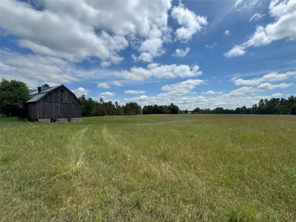
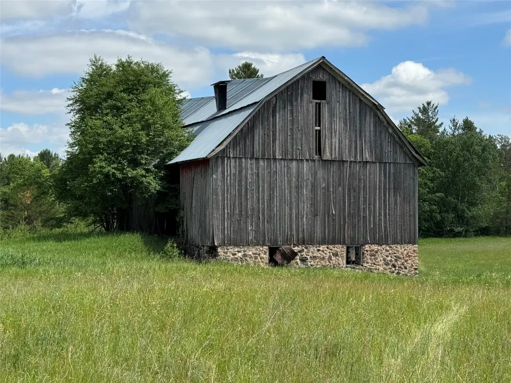
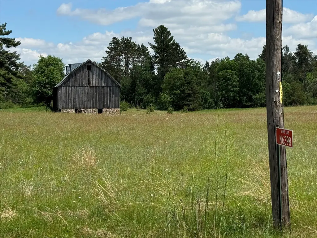
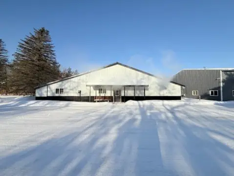
Additional Structures
Barn(s)
Listing Agency:
C21 Affiliated
(715) 832-2222
Listed By:
Kathy Snyder · License #55755-90
(715) 558-2512
Added: Jun 9
Last Checked: Jul 28 at 4:06AM
MLS# 1602077
Copyright © 2026 REALTORS® Association of Northwestern Wisconsin. All rights reserved. All information provided by the listing agent/broker is deemed reliable but is not guaranteed and should be independently verified.
Investment Insights
Based on property information with market context.
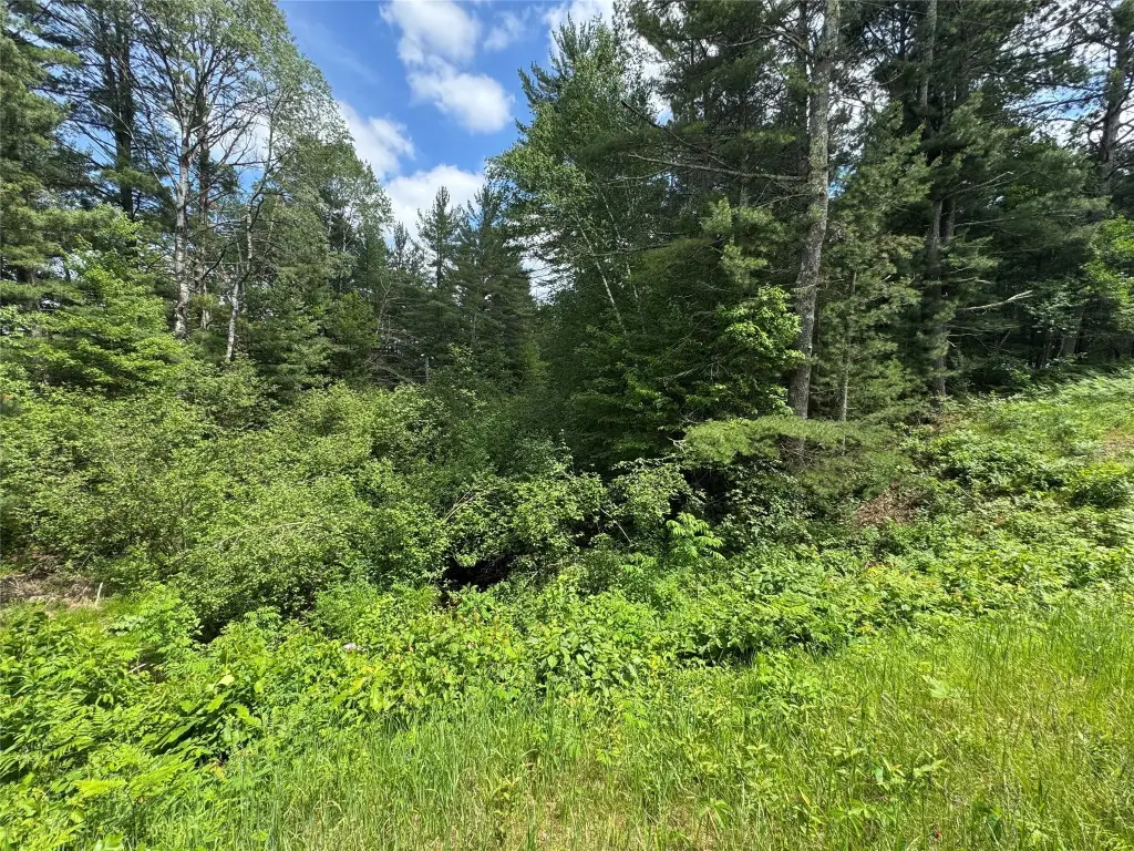
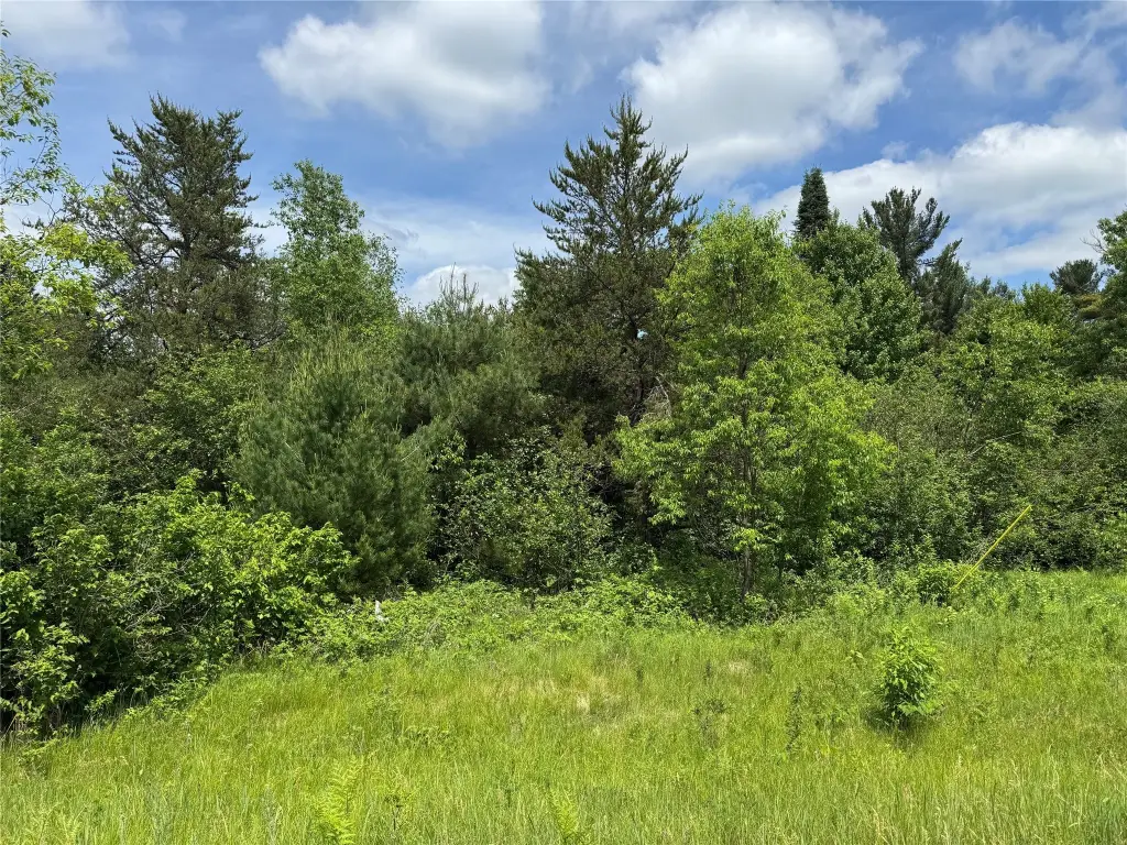
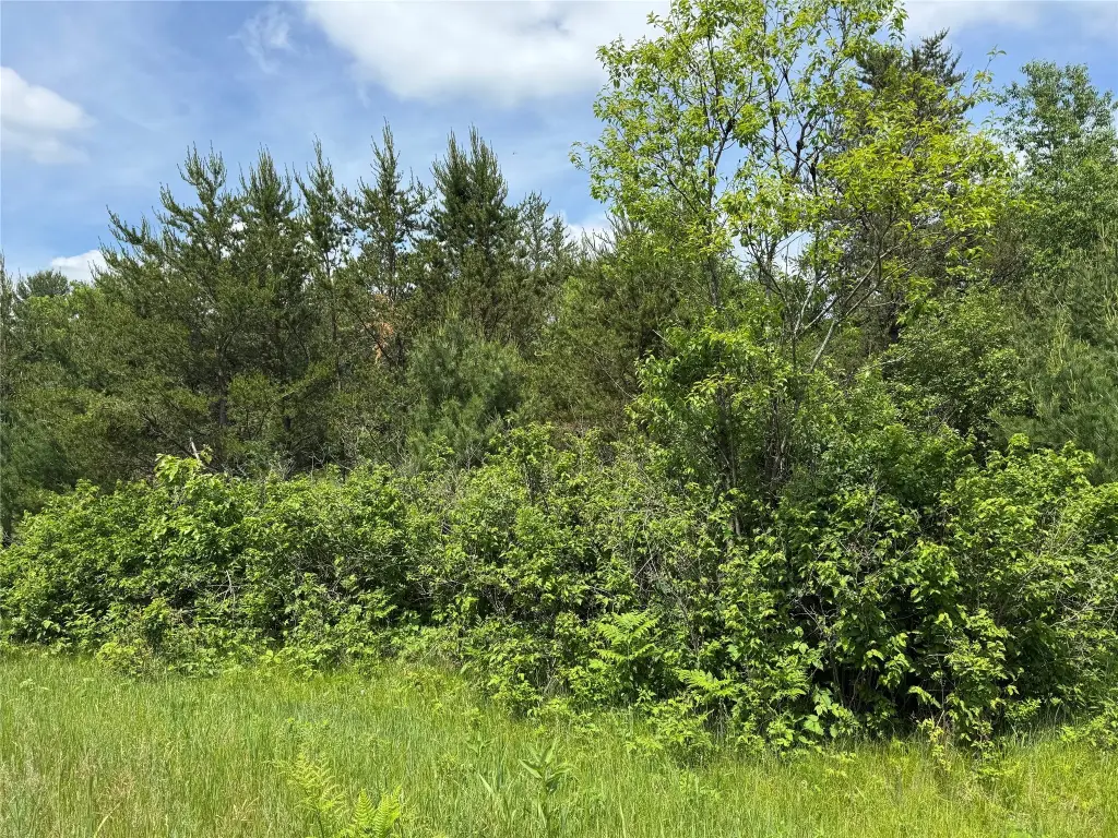
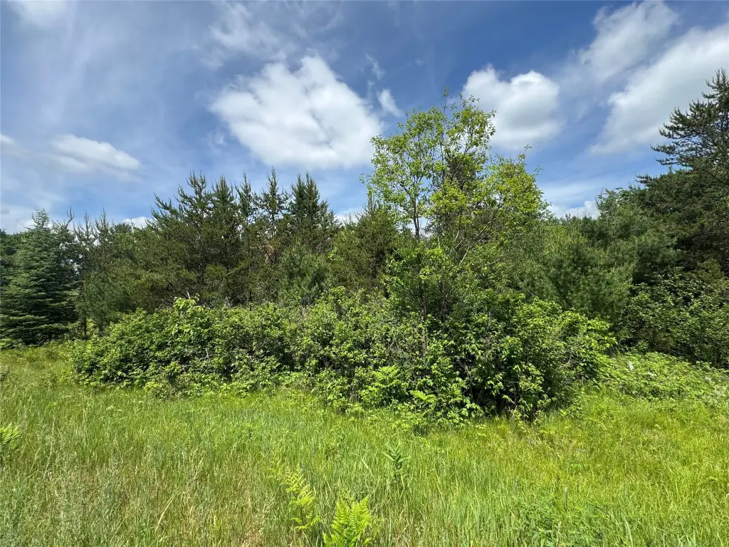
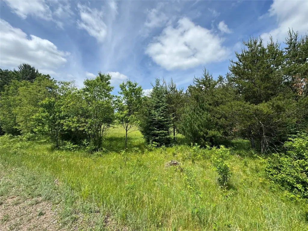
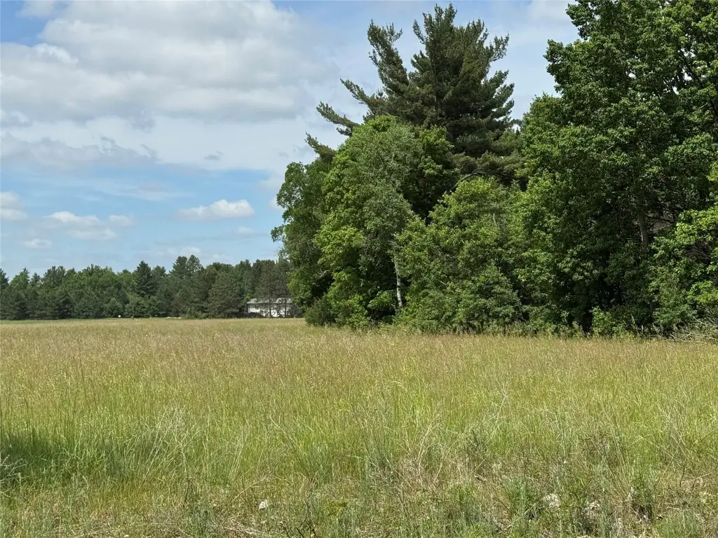
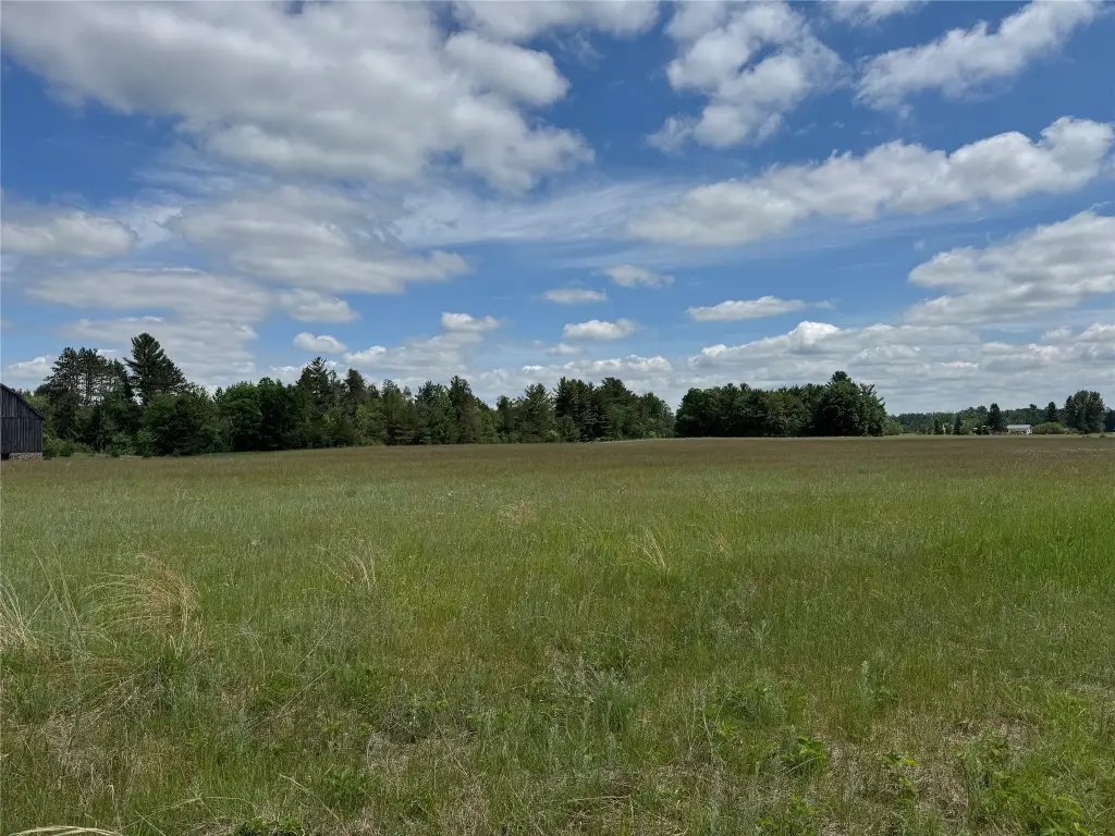
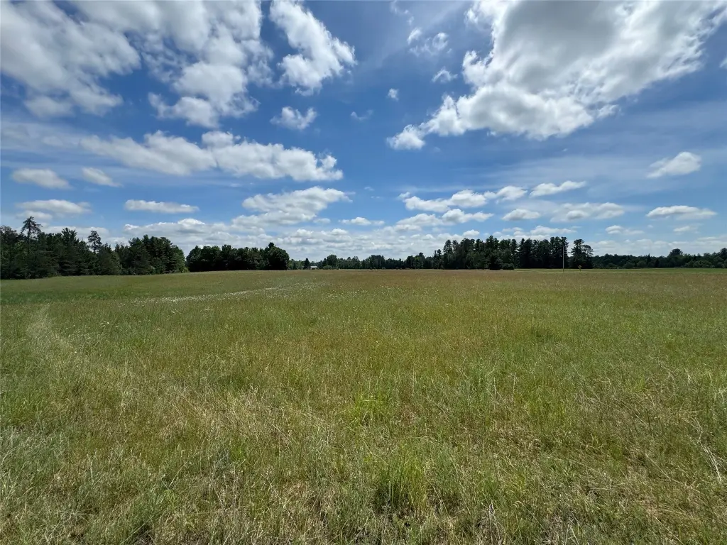
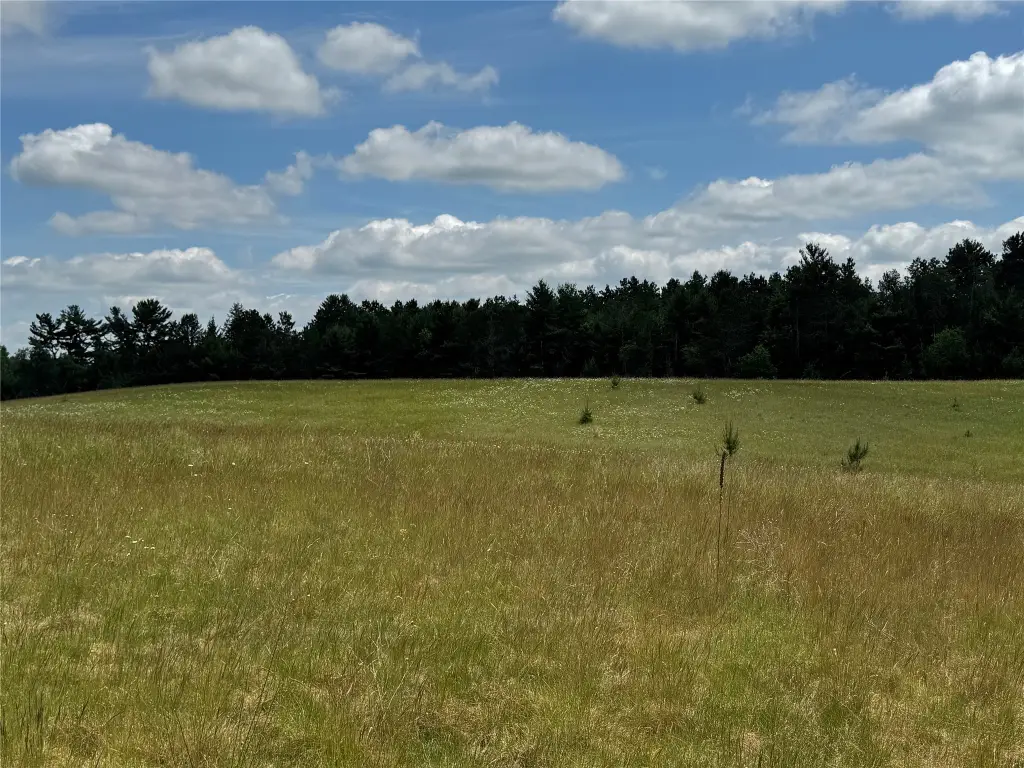
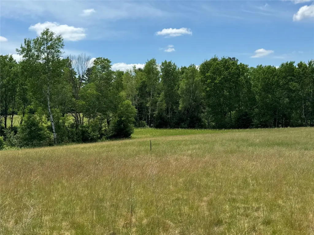
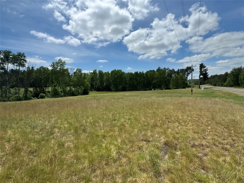
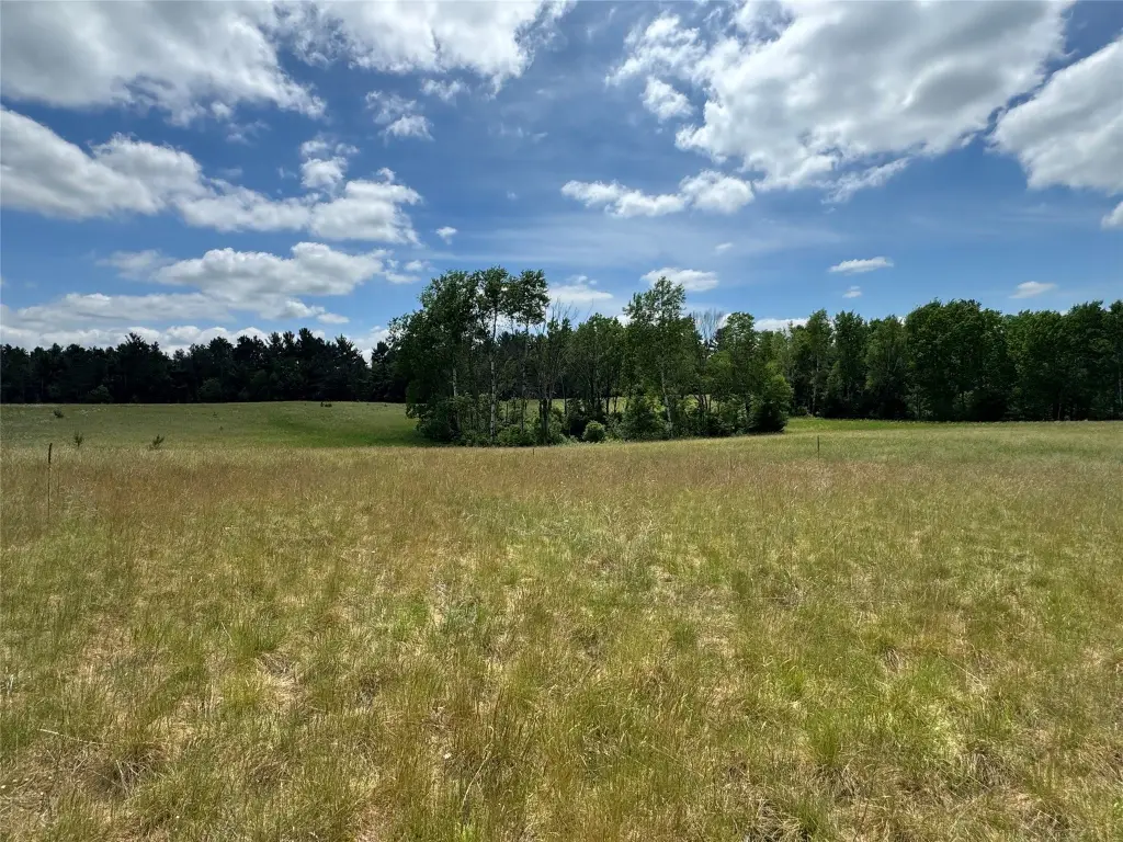
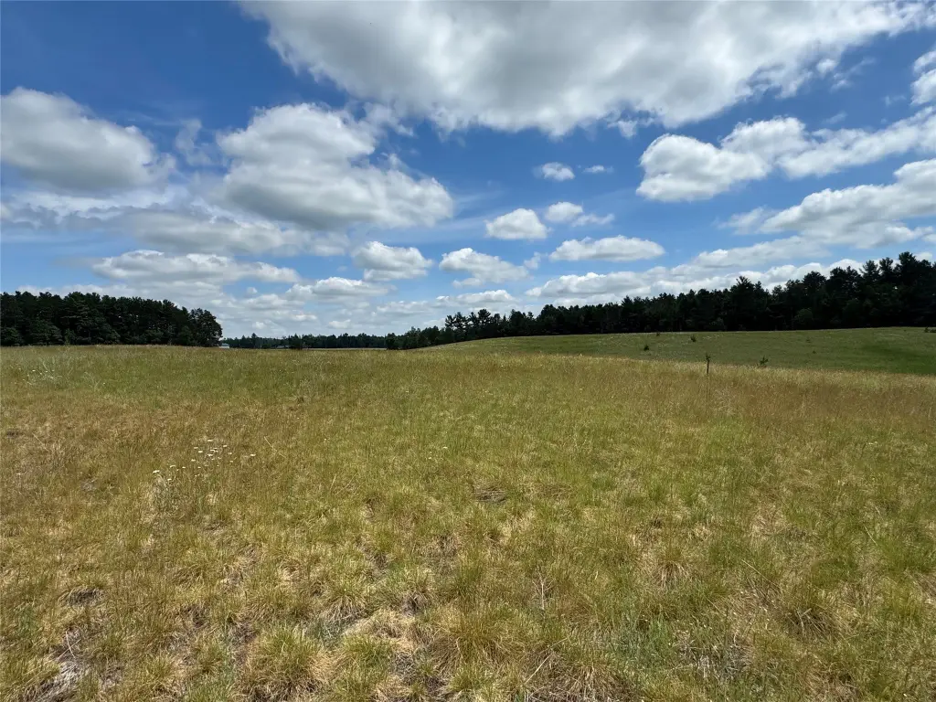
This listing offers vacant land comprised of three buildable parcels, blending wooded areas and tillable ground. The property includes White Pines and frontage on MacKay Creek that runs through a significant portion of the acreage. A historic 1903 barn remains on-site, adding existing character for buyers looking to establish a private homestead, hobby farm, or recreational base.
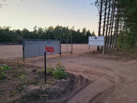
The land is located in Washburn County in northwest Wisconsin, near Spooner, Stone Lake, and Springbrook, with county-owned public land nearby. Power and phone are available at the road, while the property itself is described as untouched and off-grid.
From a tenant or buyer fit perspective, this is best suited to individuals or groups seeking a large, flexible holding with multiple building sites and natural amenities centered around the creek and mixed cover. The presence of both wooded and tillable areas supports varied land uses, while the on-site barn provides an existing improvement that may be incorporated into a buyer’s plans. For anyone prioritizing privacy, outdoor recreation, and workable access to utilities at the roadway, the parcel configuration and creek frontage are key considerations.
Key Highlights
- 63.7 acres of vacant land in Northwest Wisconsin across three buildable parcels
- MacKay Creek frontage runs through about 40 acres, with creek waterfront featuring a creek
- Property includes a mix of wooded and tillable acreage, with White Pines noted
Property Analytics
Property Profile
Location Intelligence
Current Use
Frequently Asked Questions
What type of property is this?
Hunting land - Three buildable parcels with wooded and tillable acreage, plus MacKay Creek frontage and an on-site historic barn.
Where is this hunting land located?
The property is located at N 6398 Fred Tripp Road Springbrook, WI.
What is the asking price?
The asking price for this property is $350,000.
What are key features of this property?
This property features: 63.7 acres of vacant land in Northwest Wisconsin across three buildable parcels; MacKay Creek frontage runs through about 40 acres, with creek waterfront featuring a creek; Property includes a mix of wooded and tillable acreage, with White Pines noted