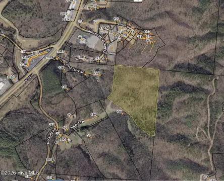
Unrestricted Riverfront Land
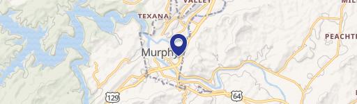
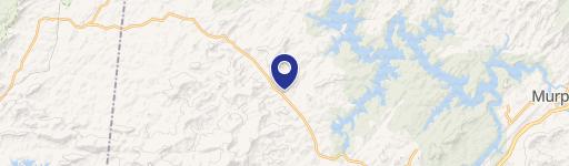
11.87 Ac Die Bend Road Murphy, NC 28906
11.87 Ac Die Bend Road, Murphy, NC, 28906
$475,000
For Sale
$475,000
LAND - Murphy, NC
Lot Size11.14 Acres
Days on Market102
Property Features for 11.87 Ac Die Bend Road
General Information
- Property type
- Land
- Property subtype
- Other
- Standard status
- Active
- APN
- 457009050131000
- Lot size
- 11.14 Acres
Taxes and HOA fees
- Tax Year
- 2025
- Tax Description
- Deed Attached
- Tax Annual Amount
- 1990
Utilities
- Utilities
- Electricity Available
- Water front features
- Waterfront
- Water front
- 1
Listing agency
Coldwell Banker High Country
(828) 835-8500
Listed by
Christina Toole · License #359629
(828) 797-8363
Added: Apr 12 Updated: Jun 9 at 2:55PM Checked: Jul 22 at 10:06AM
MLS# 98544203
Copyright © 2026 Hive MLS. All rights reserved. All information provided by the listing agent/broker is deemed reliable but is not guaranteed and should be independently verified.
Investment Insights
Based on property information with market context.
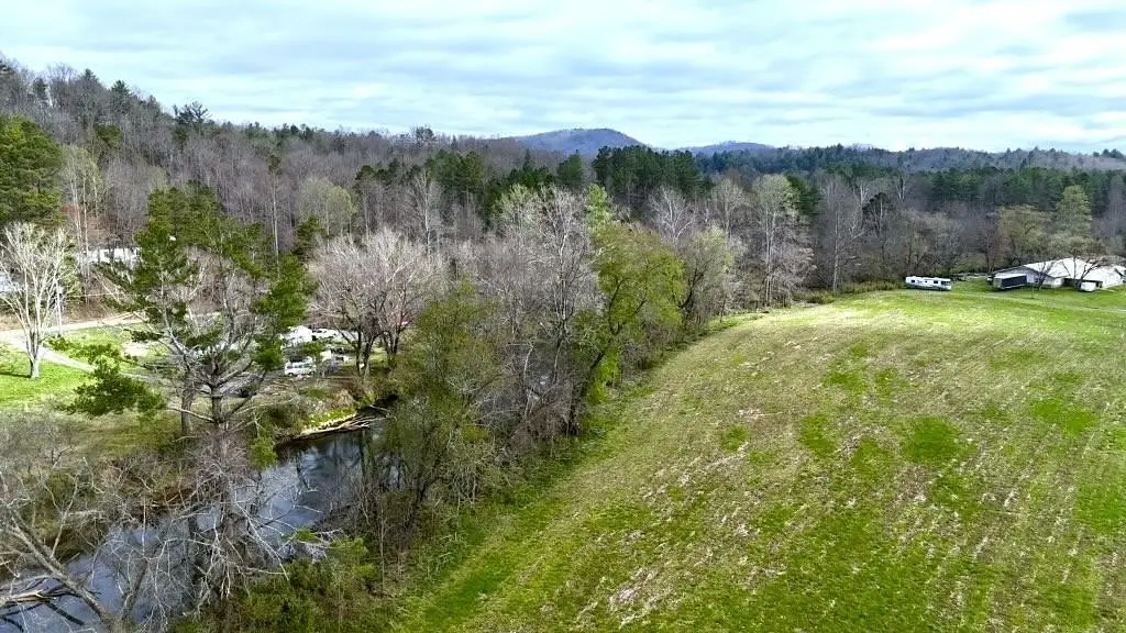
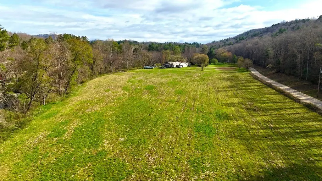
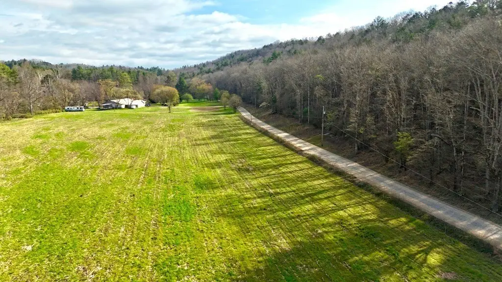
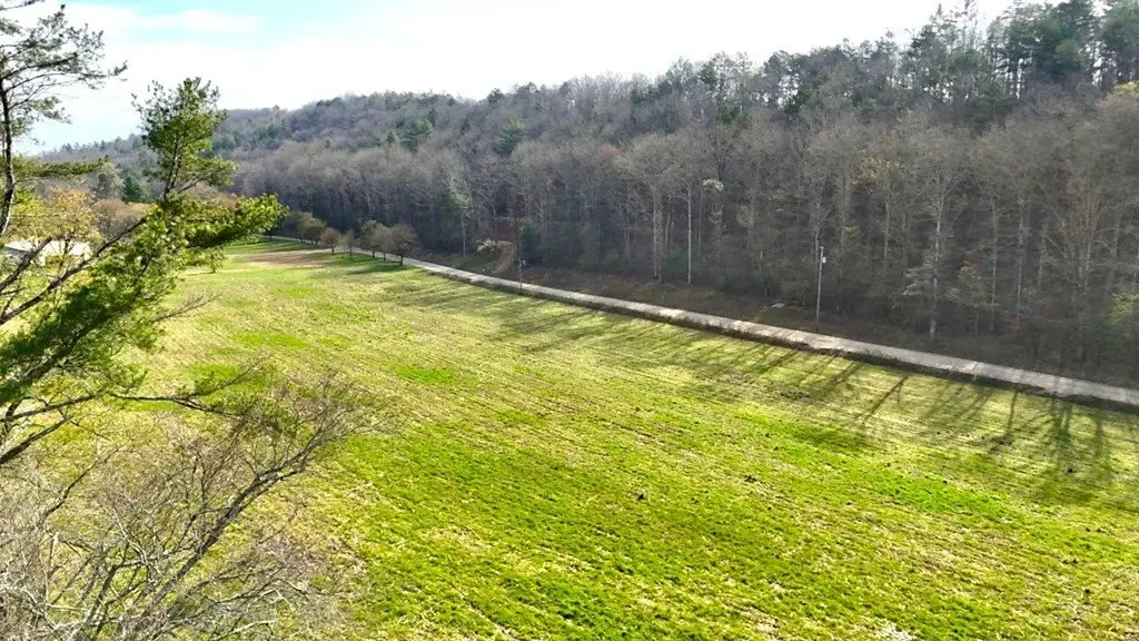
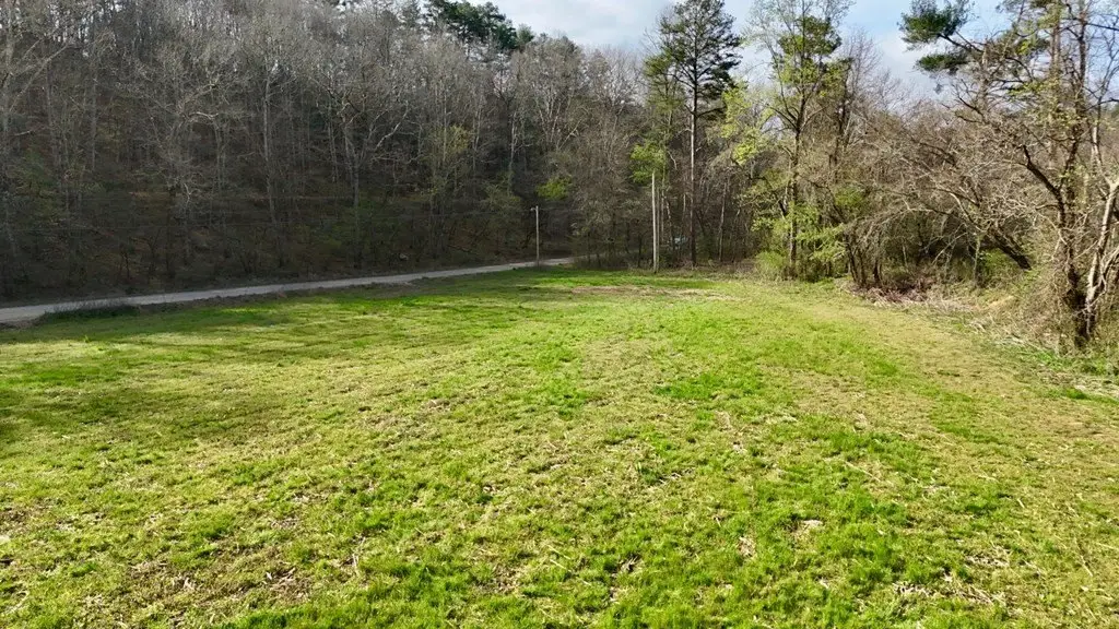
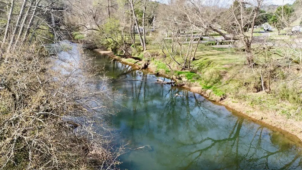
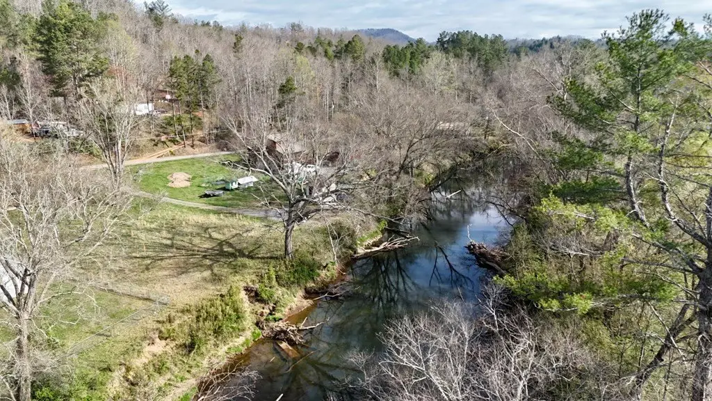
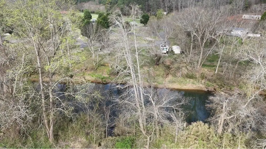
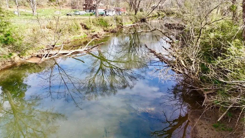
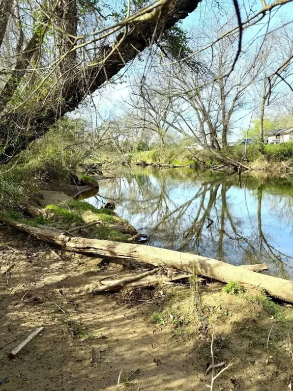
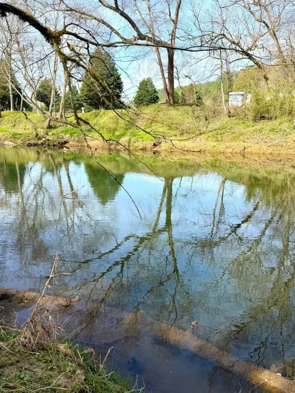
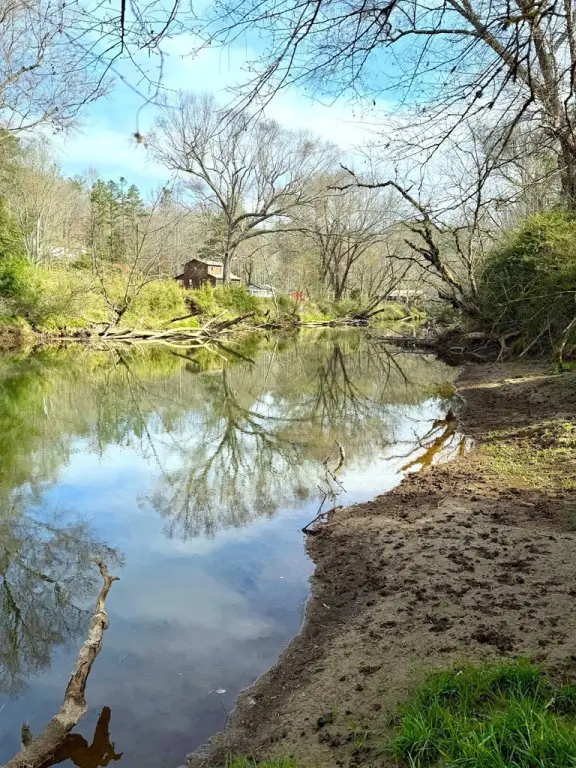
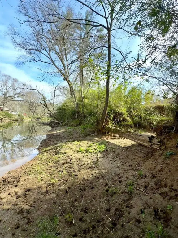
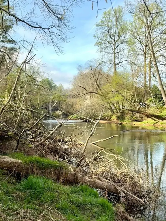
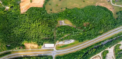
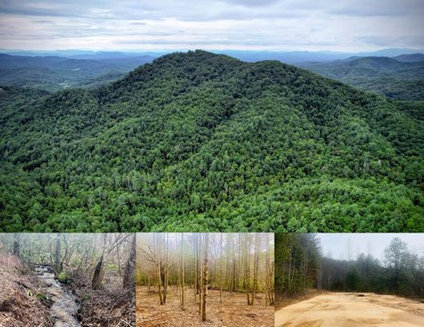
This offering is an 11.14-acre unrestricted land tract with substantial frontage on the Nottely River. The property is described as predominantly flat and open, and it has been used previously for agriculture due to fertile soil. The listing notes overhead power is already in place and highlights easy access as part of the overall utility of the site.
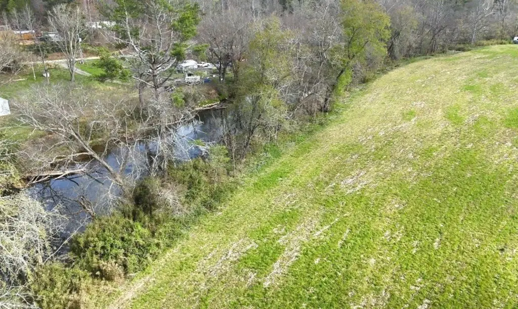
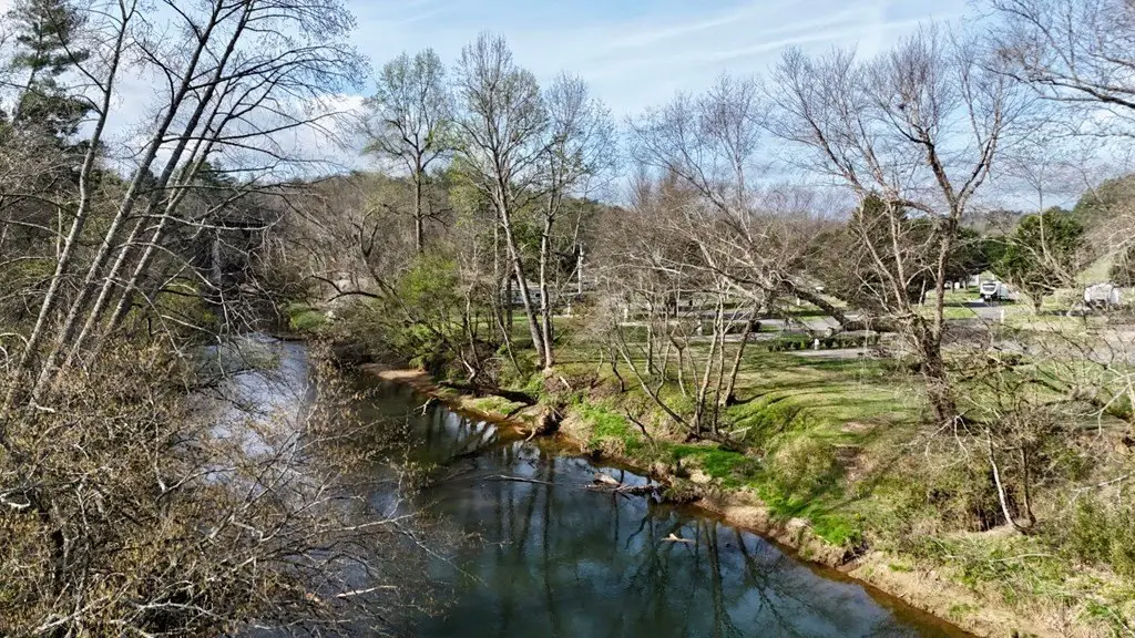
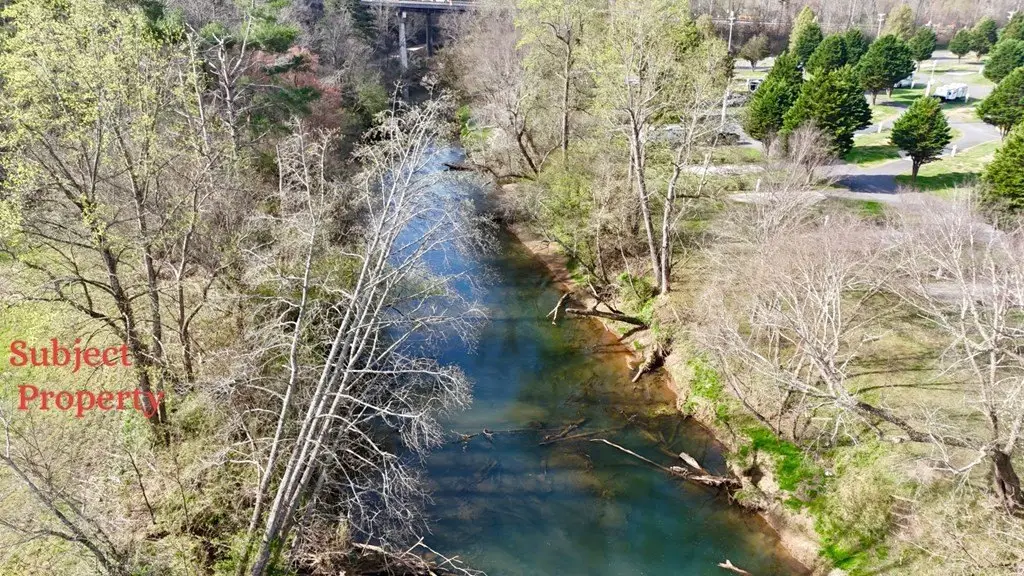
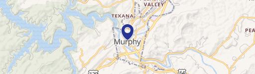
The tract is located in Murphy, North Carolina in Cherokee County, with proximity to Hwy 60 and downtown Murphy noted in the remarks. The Nottely River frontage is emphasized as direct access for water-related recreation such as fishing and kayaking. The listing also indicates that portions of the property fall within the river floodway and the 100-year flood zone, while approximately 3 acres on the opposite side of Die Bend Rd are stated to be outside the flood zone.
For buyers looking for flexible land use, the unrestricted status and largely buildable, gentle topography may support a range of planning options, including a private estate or a farm-style use. The substantial river adjacency can also be attractive for owners prioritizing water access while considering flood-zone considerations identified in the remarks. Buyers are encouraged to review the floodway and 100-year flood zone information and the location of the outside-the-zone acreage before finalizing plans for development or site improvements.
Key Highlights
- 11.8‑acre unrestricted tract with waterfront access on the Nottely River.
- 1,262 ft of Nottely River frontage, offering direct access for fishing, kayaking, and tubing.
- Most acreage is flat, open, and highly usable (previously used for agriculture).
Property Analytics
Property Profile
Location Intelligence
Current Use by Public Records
Waterfront Land
Similar For Sale Nearby


FAQs
What type of property is this?
Waterfront Land - Unrestricted riverfront acreage with extensive Nottely River frontage and predominantly flat, open topography.
Where is this waterfront land located?
The property is located at 11.87 Ac Die Bend Road Murphy, NC.
What is the asking price?
The asking price for this property is $475,000.
What are key features of this property?
This property features: 11.8‑acre unrestricted tract with waterfront access on the Nottely River.; 1,262 ft of Nottely River frontage, offering direct access for fishing, kayaking, and tubing.; Most acreage is flat, open, and highly usable (previously used for agriculture).


