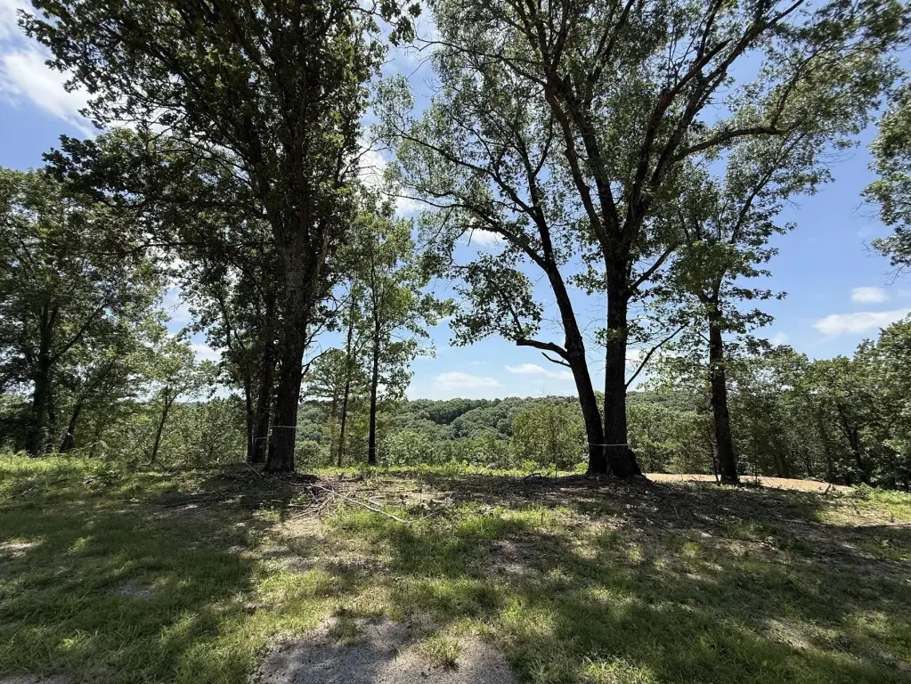
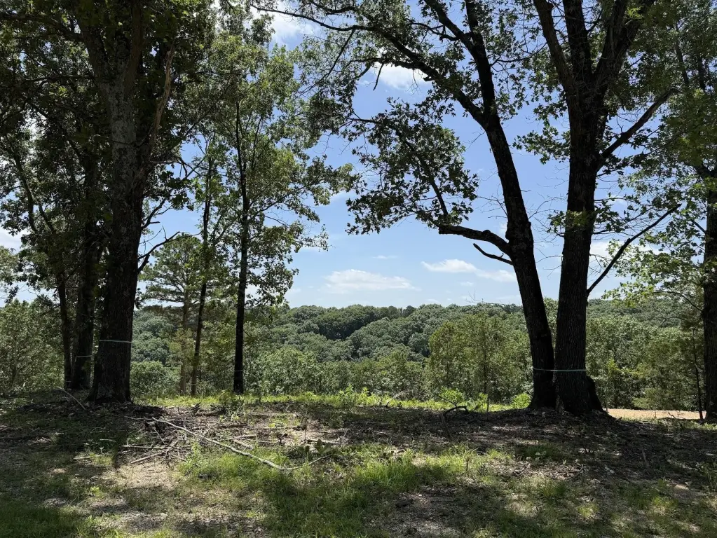
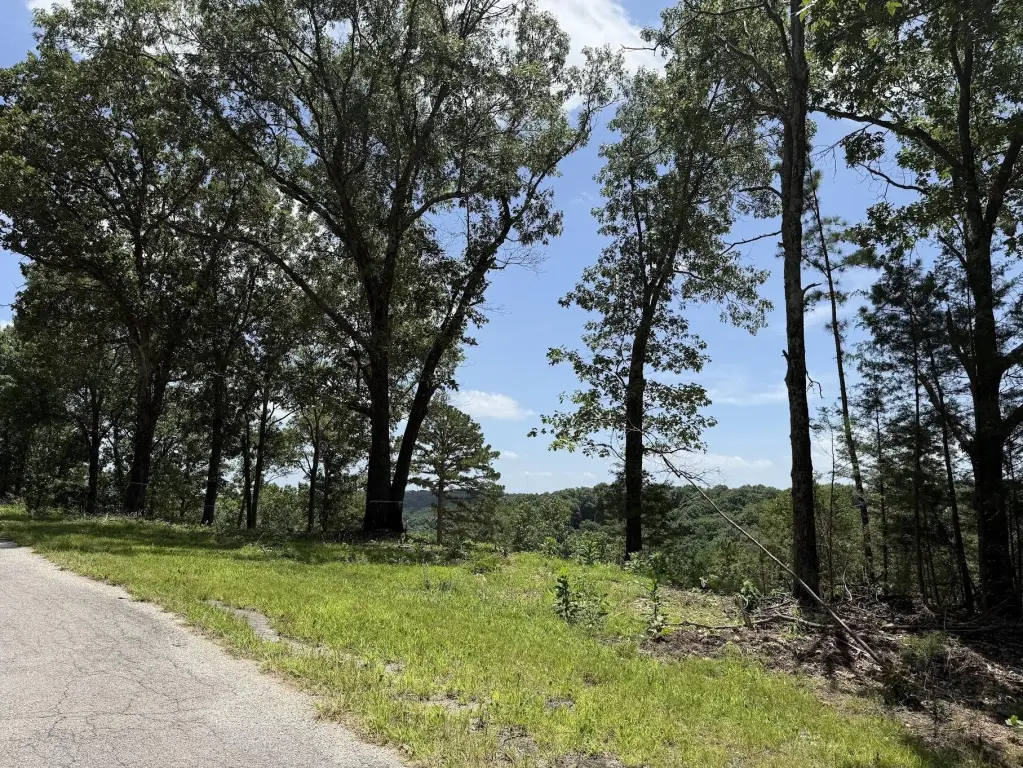
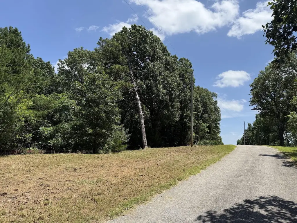
Wooded Building Tracts with
For Sale
$59,000
Mountain Estate Drive lot 14&15, Blue Eye, MO 65611
Land, Blue Eye, MO
Property SizeContact for details
Lot Size6.20 Acres
Days on Market102
Property Features for Mountain Estate Drive lot 14&15
General Information
Property type
Land
Property subtype
Other
Subdivision
Leisure Shores
Lot features
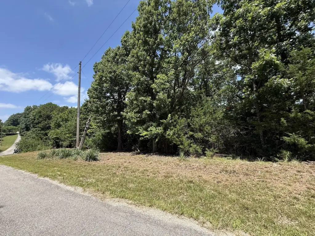
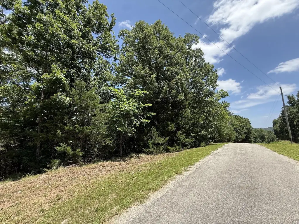
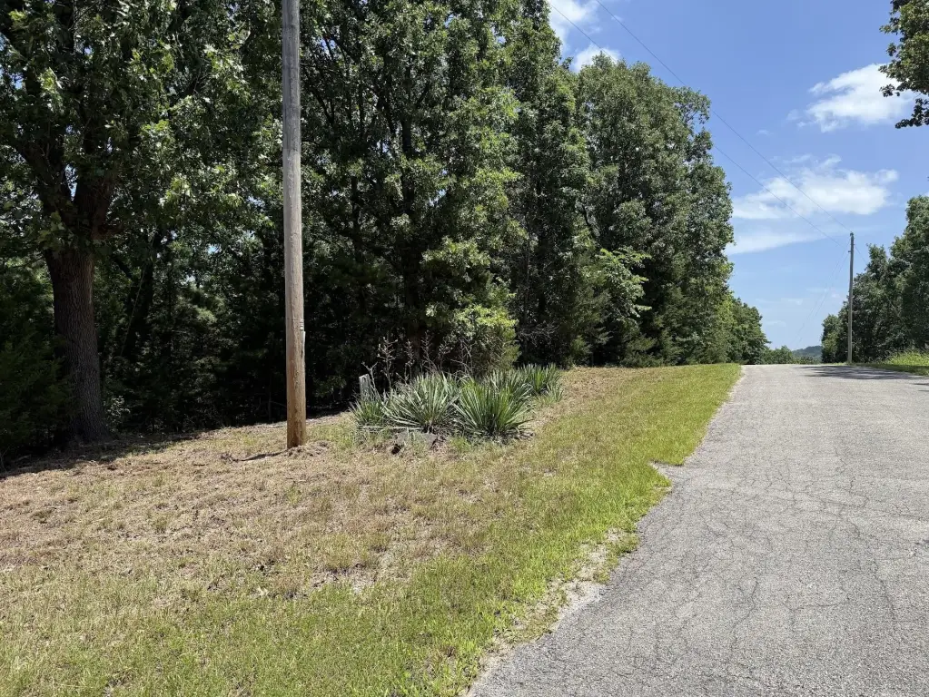
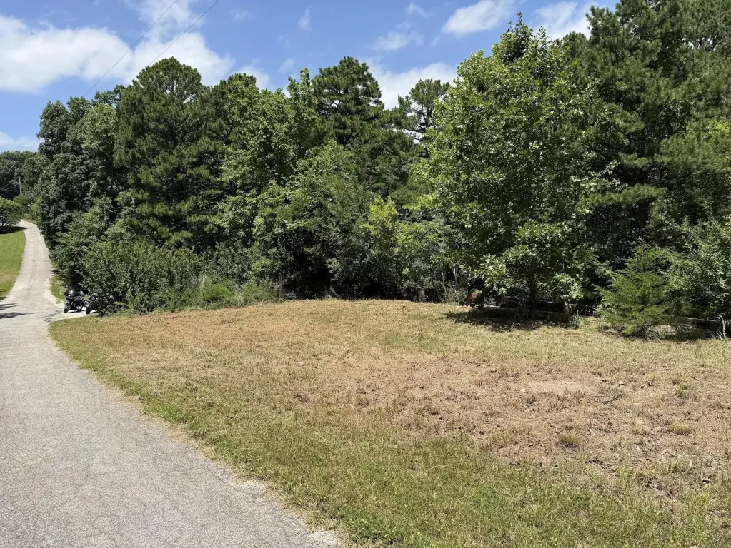
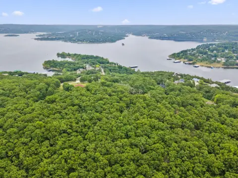
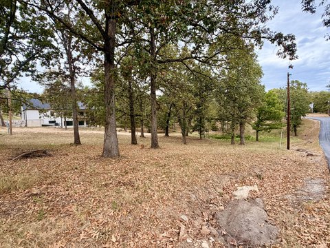
Acreage, Few Trees, Paved, Mature Trees, Wooded, Wooded/ Cleared Combo, Mature Landscaping
Elementary school
Blue Eye
Middle school
Blue Eye
High school
Blue Eye
Directions
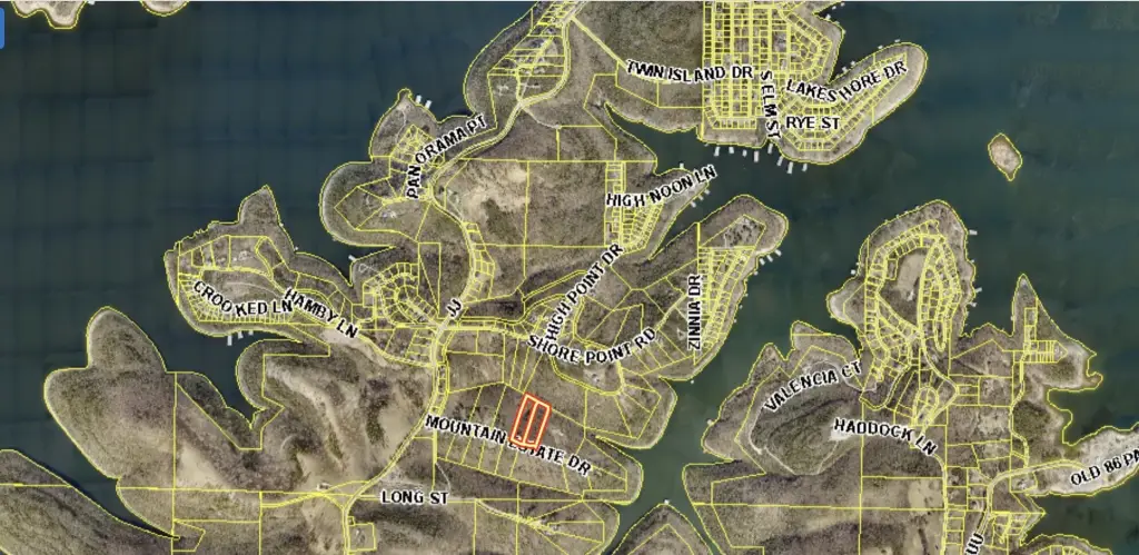
South on MO-13 from Branson West to Left on MO-86 E, then turn Left on State Highway JJ to Right on Mountain Estate Drive, property is on the Left.
Standard status
Active
APN
13-9.0-32-000-000-116.000
Lot size
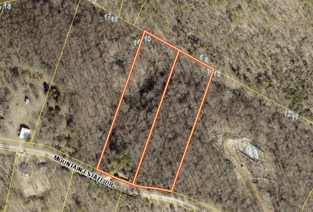
6.20 Acres
Taxes and HOA fees
Tax Year
2025
Tax Description
Leisure Shores 4th Mtn Estates, Lots 14 & 15
Tax Annual Amount
8810
HOA Fee
$105 Annually
Legal Description
Leisure Shores 4th Mtn Estates, Lots 14 & 15
Utilities
Utilities
Electricity Available
Listing Agency:
Murney Associates - Nixa
(417) 724-2300
Listed By:
Aaron P Zahner · License #2001030075
(417) 830-0586
Added: Jul 6
Changed: Aug 19
Last Checked: Oct 15 at 11:06AM
MLS# 60328210
Copyright © 2026 Southern Missouri Regional MLS, LLC (SOMO). All rights reserved. All information provided by the listing agent/broker is deemed reliable but is not guaranteed and should be independently verified.
Investment Insights
Based on property information with market context.
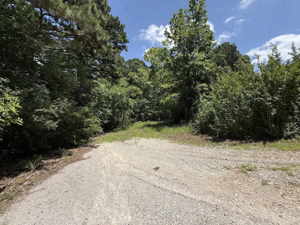
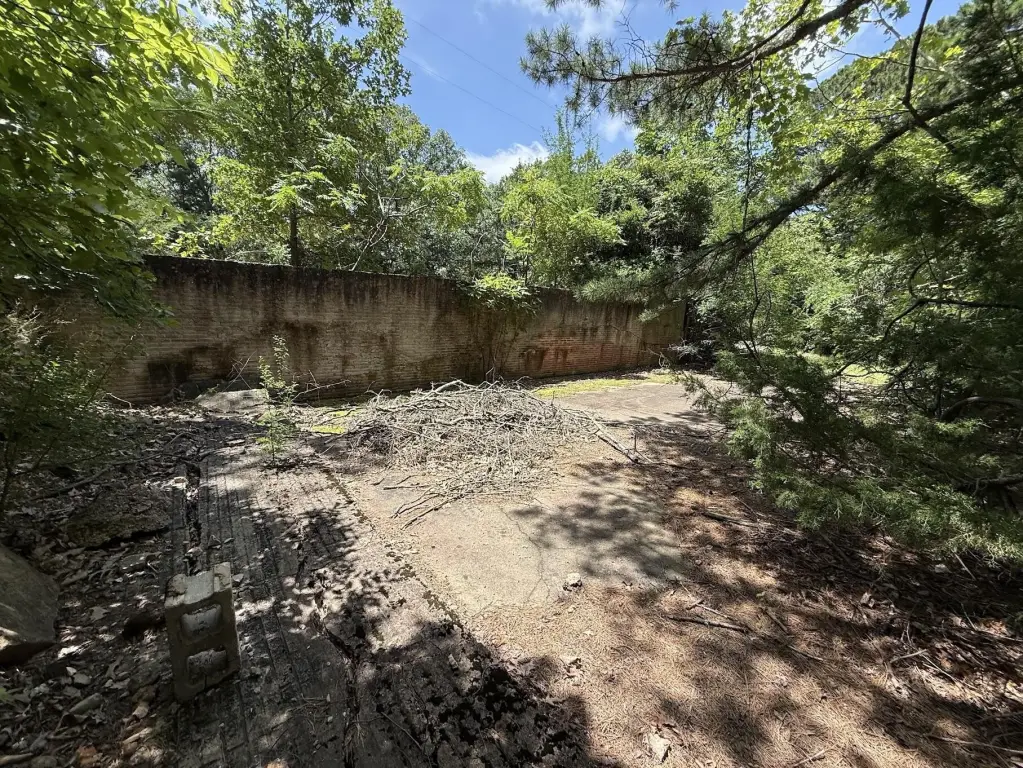
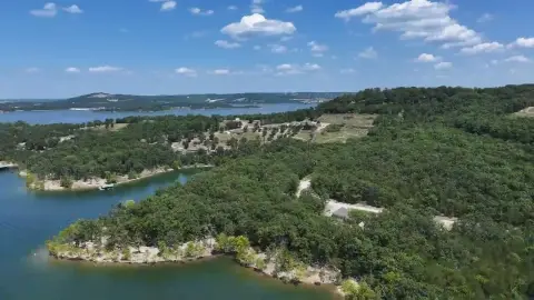
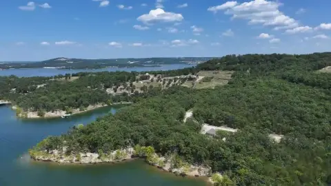
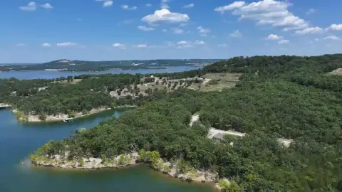
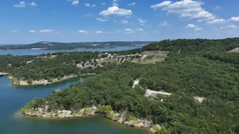
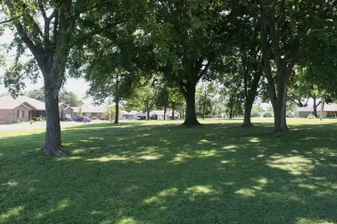
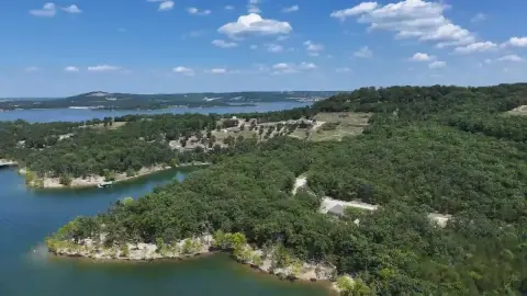
These for-sale building tracts in Blue Eye, Missouri total 6.2 acres when bundled, or may be purchased as individual 3-acre parcels. The lots are described as pristine, with serene, wooded views from the back of the build sites. Electric is available at the property, and a neighborhood community water line runs to the edge of the lots. One parcel includes a head-start feature: existing concrete work and a previously installed septic tank, which the buyer must verify for condition and compliance.
The parcels are located off Hwy JJ within an established community that maintains shared access and water supply. An association fee of $105 is noted, and water usage is metered and added after construction. (Exact terms and any additional restrictions are to be confirmed by the buyer.)
For buyers looking to design a custom estate or a seasonal retreat, these tracts offer space for a stick-built home while providing utility access early in the process. The property is also presented as convenient to Big Cedar Lodge and Top of the Rock Nature Center, and to recreation at Table Rock Lake via nearby public concrete boat launches, swimming, and kayak access mentioned at Coombs Ferry Boat Ramp and Cow Creek Park.
The parcels are located off Hwy JJ within an established community that maintains shared access and water supply. An association fee of $105 is noted, and water usage is metered and added after construction. (Exact terms and any additional restrictions are to be confirmed by the buyer.)
For buyers looking to design a custom estate or a seasonal retreat, these tracts offer space for a stick-built home while providing utility access early in the process. The property is also presented as convenient to Big Cedar Lodge and Top of the Rock Nature Center, and to recreation at Table Rock Lake via nearby public concrete boat launches, swimming, and kayak access mentioned at Coombs Ferry Boat Ramp and Cow Creek Park.
Key Highlights
- 3‑acre building tract(s) on Hwy JJ in Blue Eye for a custom estate or seasonal retreat
- Electricity available at the property; community water line runs to the lot edge
- Association fee $105 includes road maintenance and water supply access (metered water billing added after construction)
Property Analytics
Unlock full access to Insights
Subscribe to Realmo Intelligence
Open Analytics
Current Use
Lease Details
Yes
Utilities to site
Location Intelligence
Trade Area within ½ mile
3
Businesses Nearby
Explore this area
Business Placement
Demographics for 65611, MO
1,988
Population
1,574
Households
1.3
Avg Household Size
60
Median Age
31%
College-Educated
94%
High-School Grad
28.6 sq mi
ZIP Area
70
Density / Sq Mi
$55,000
Median Household Income
$36,429
Median Earnings
$835
Median Rent
$255,900
Median Home Value
Check the figures for this property
Cap Rate, Value Estimation, Potential NOI and more
View Realmo Analytics

Questions? Ask Rey
Realmo’s AI knows this listing — price, zoning, demand, history. Ask anything.


Frequently Asked Questions
What type of property is this?
Residential land & home lot - A set of wooded building lots in a maintained community with electric and community water to the lot edge.
Where is this residential land & home lot located?
The property is located at Mountain Estate Drive lot 14&15 Blue Eye, MO.
What is the asking price?
The asking price for this property is $59,000.
What are key features of this property?
This property features: 3‑acre building tract(s) on Hwy JJ in Blue Eye for a custom estate or seasonal retreat; Electricity available at the property; community water line runs to the lot edge; Association fee $105 includes road maintenance and water supply access (metered water billing added after construction)