Hunting and Cattle Ranch
TBD 213.5 acs FCR 984 Mexia, TX 76667
TBD 213.5 acs FCR 984, Mexia, TX, 76667
$1,665,300
For Sale
$1,665,300
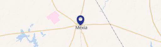
LAND - Mexia, TX
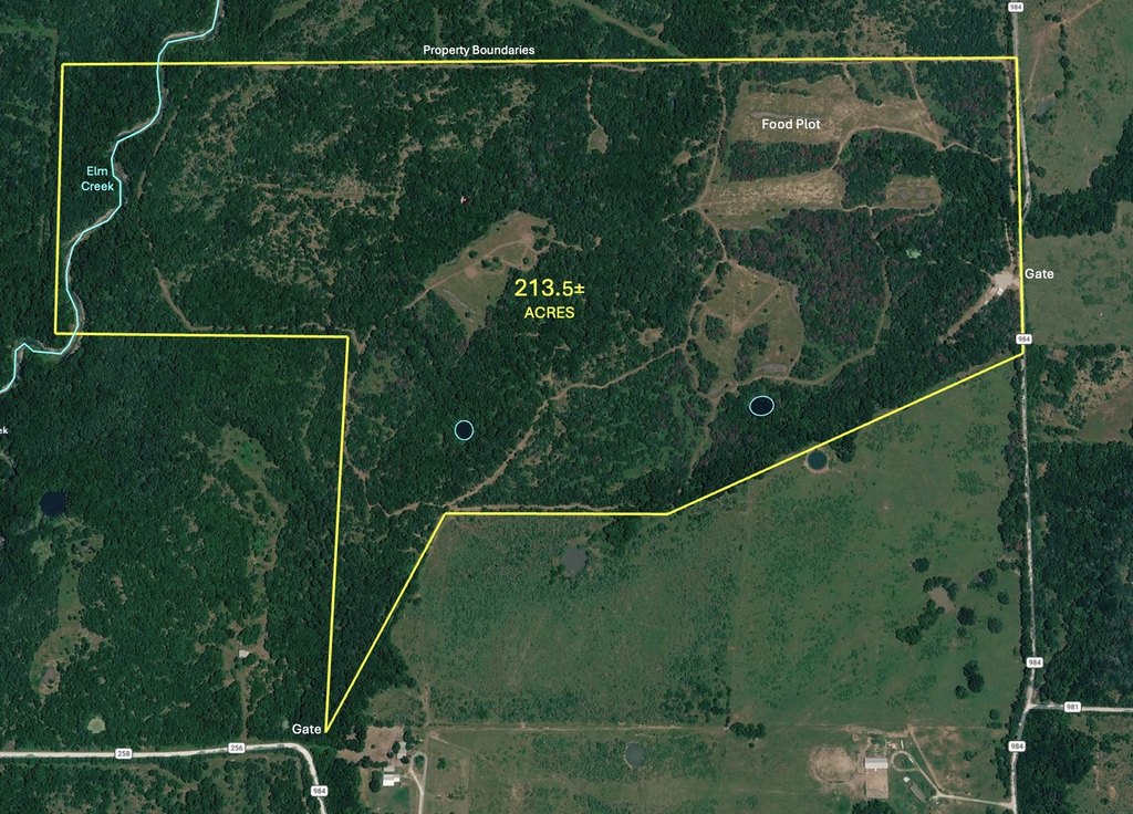
Lot Size213.50 Acres
Days on Market110
Property Features for TBD 213.5 acs FCR 984
General Information
- Property type
- Land
- Property subtype
- Other
- Parking features
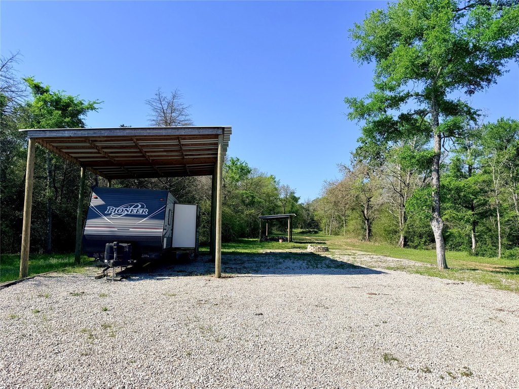
- Boat, RV
- Vegetation
- Brush, Wooded, Cleared
- Exterior features
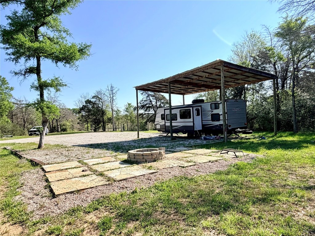
- FirePit
- Standard status
- Active
- APN
- 17543
- Lot size
- 213.50 Acres
Taxes and HOA fees
- Tax Description
- S GARRISON A-749
- Tax Annual Amount
- 200
Building Details
- Year built
- 1800
- Additional Structures
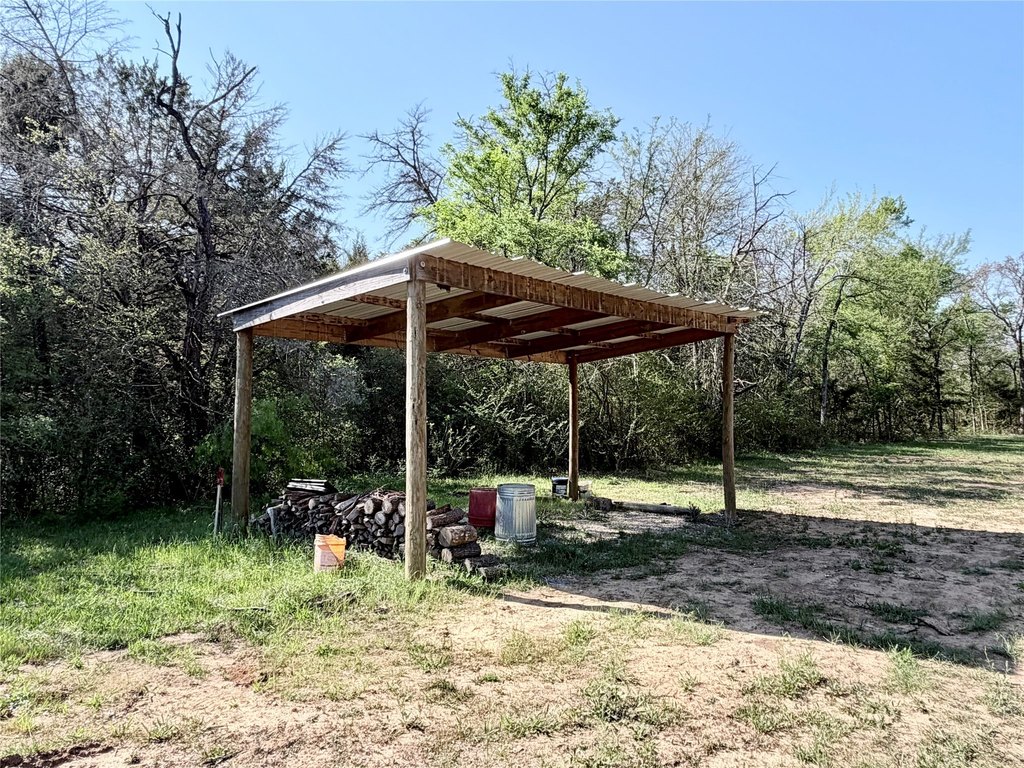
- Shed(s)
Listing agency
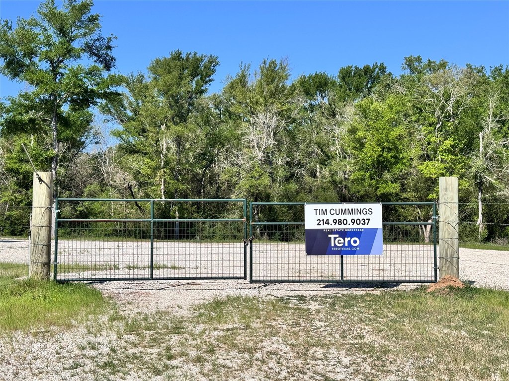
Tero Real Estate
(972) 777-4141
Listed by
Tim Cummings · License #616082
(972) 777-4141
Added: Apr 3 Updated: Jul 16 at 12:58AM Checked: Jul 21 at 7:06AM
MLS# 21227290
Copyright © 2026 North Texas Real Estate Information Systems, Inc. All rights reserved. All information provided by the listing agent/broker is deemed reliable but is not guaranteed and should be independently verified.
Investment Insights
Based on property information with market context.
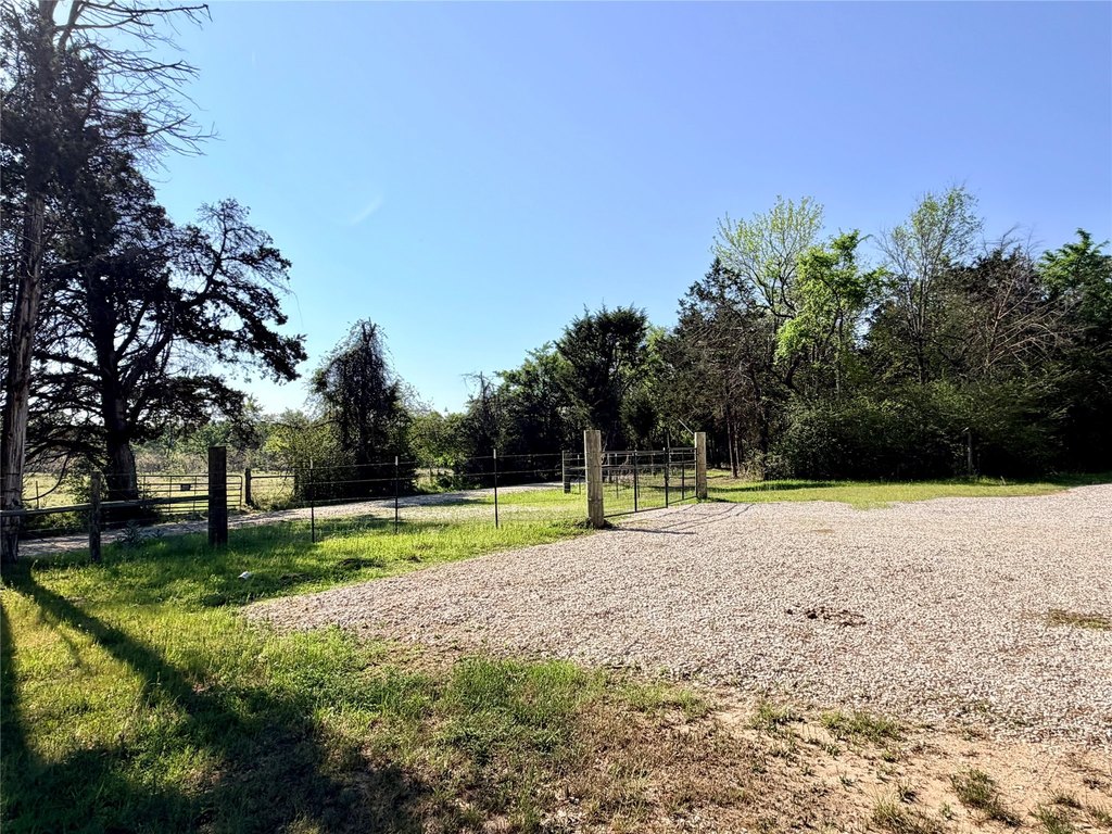
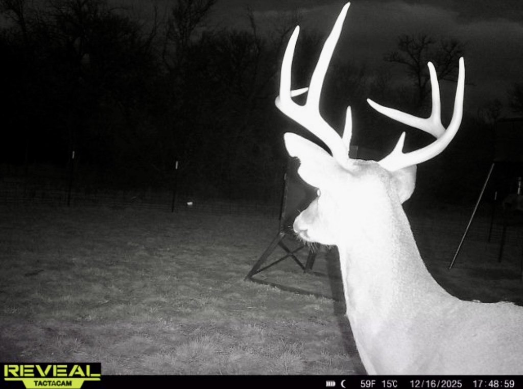
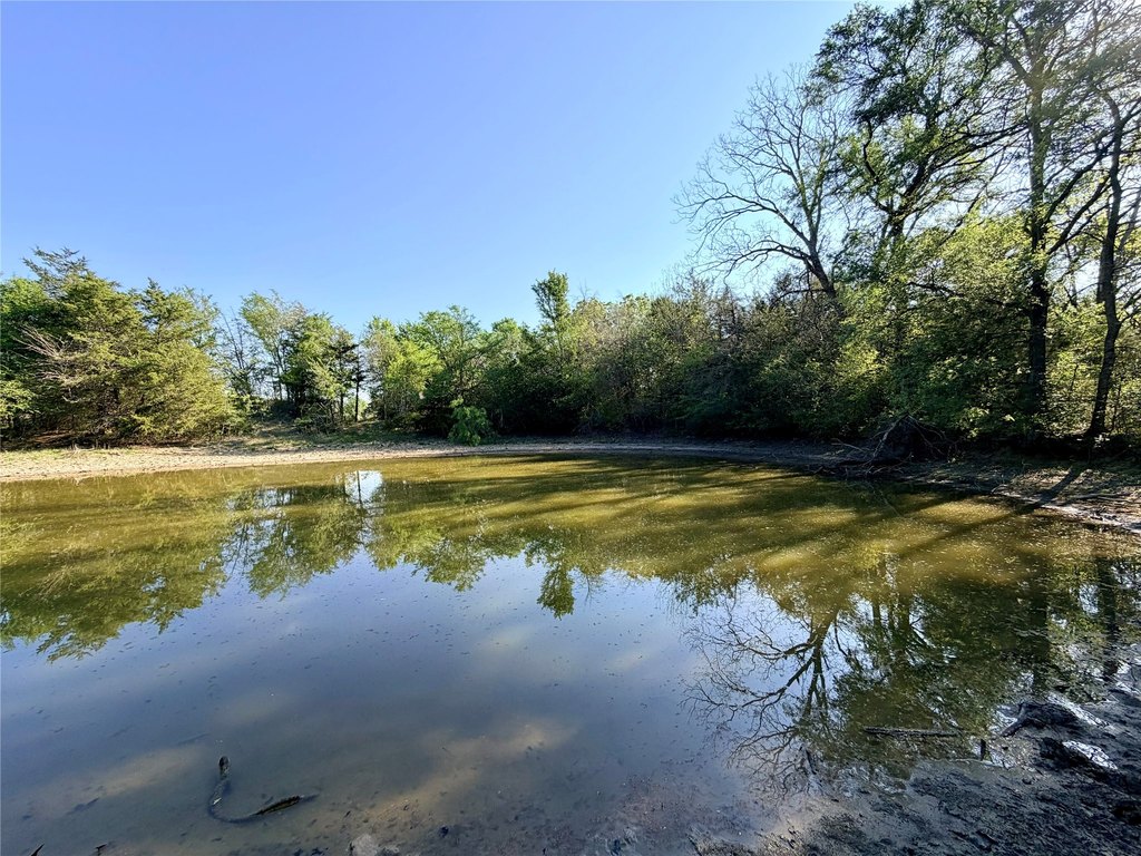
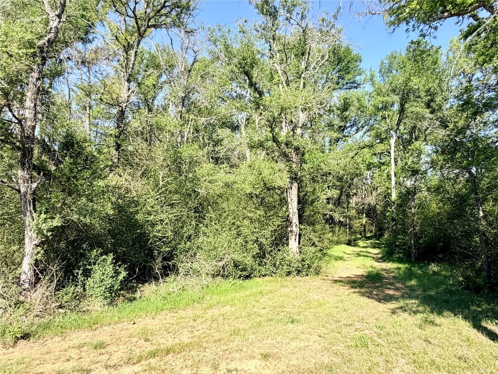
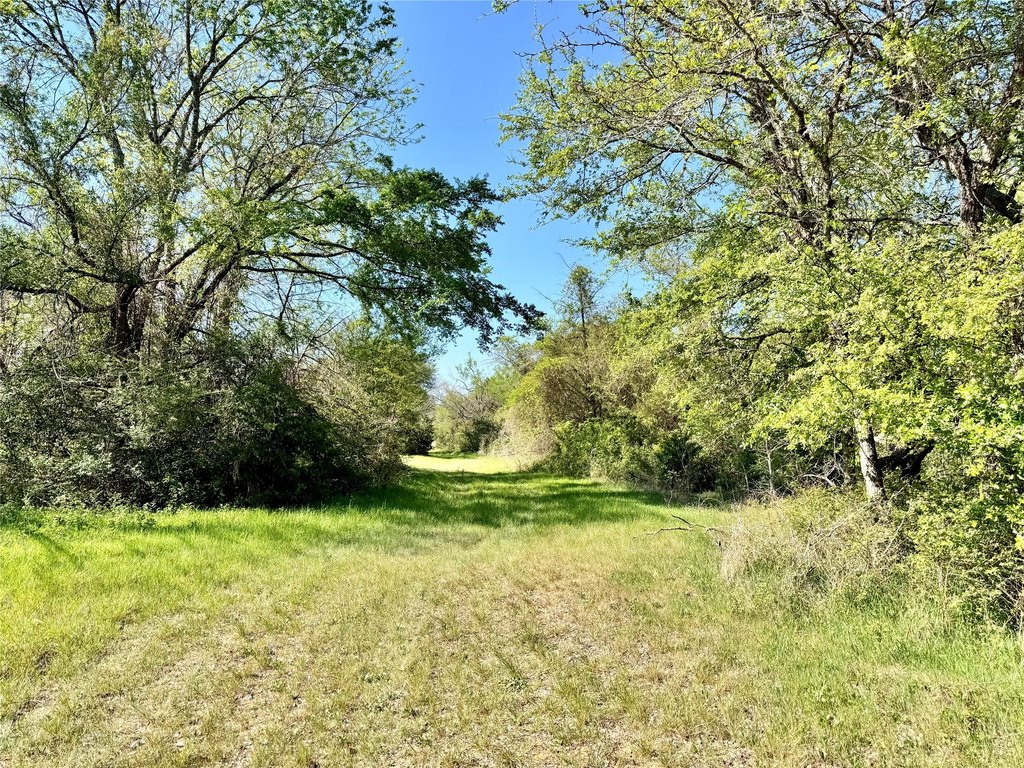
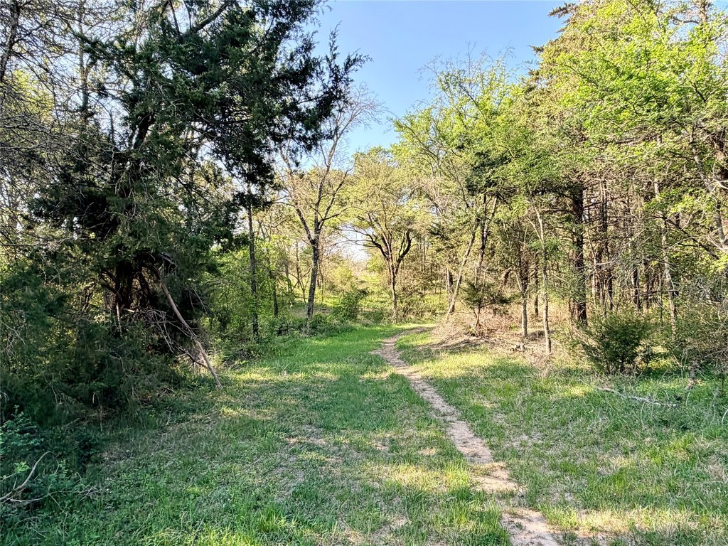
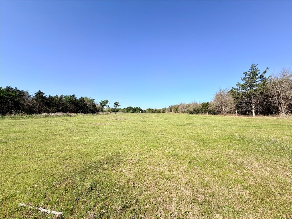
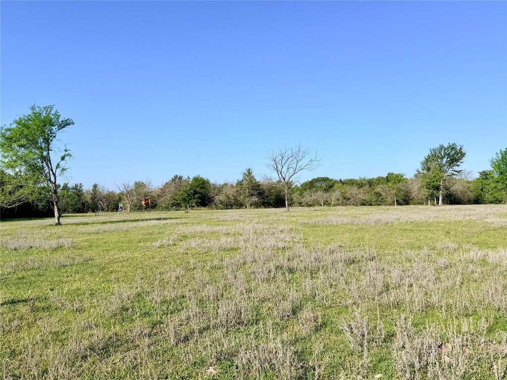
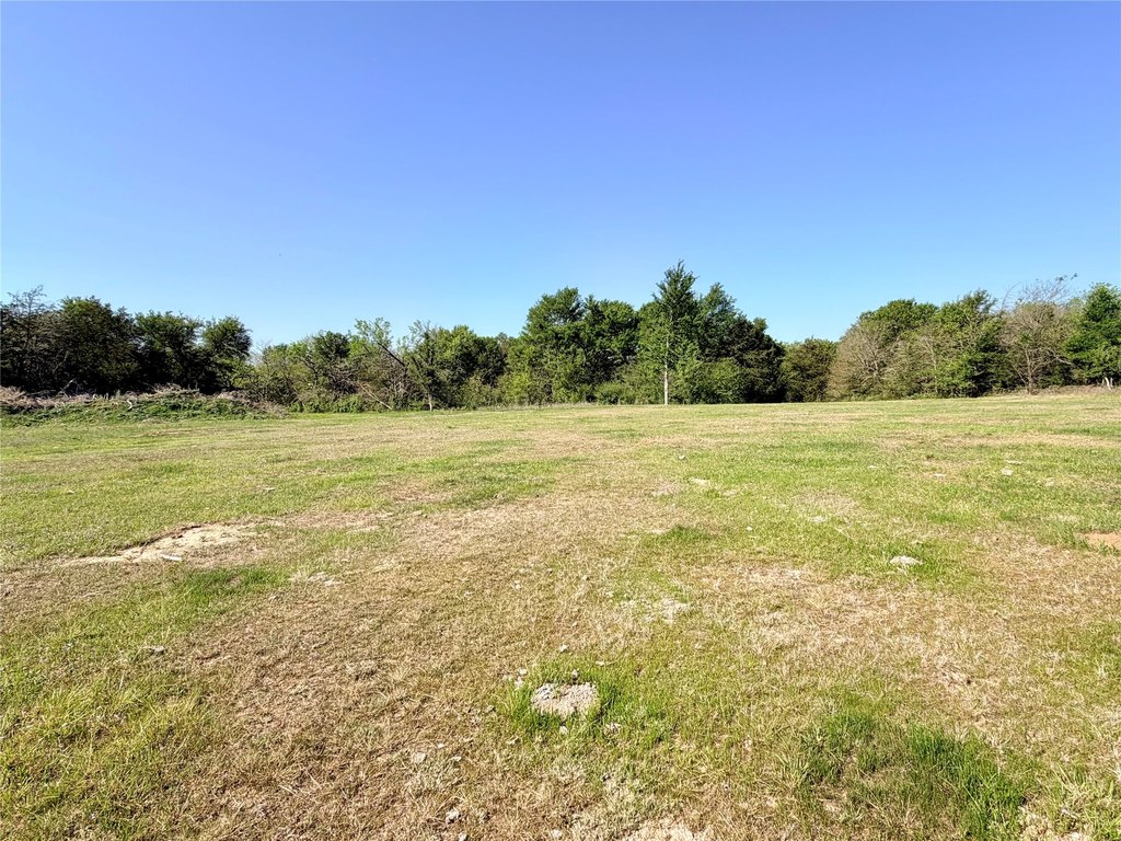
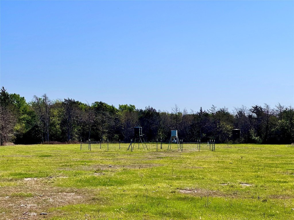
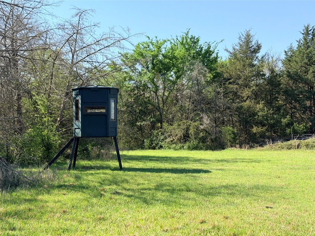
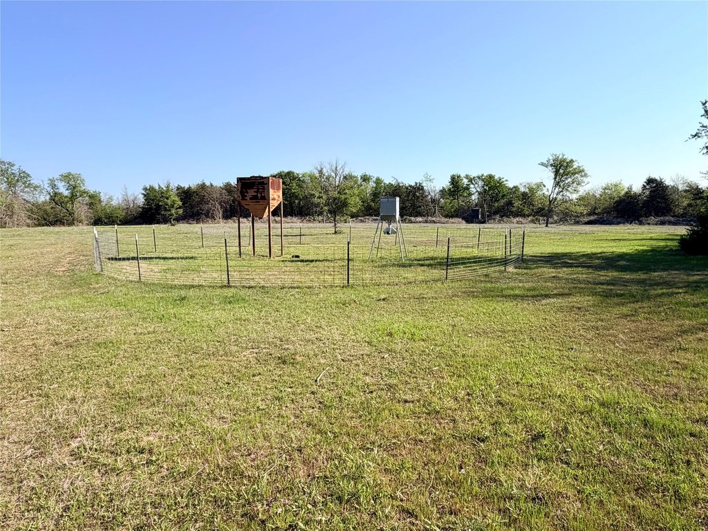
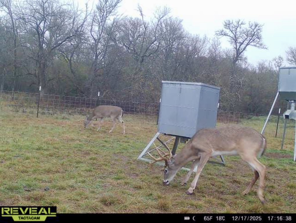
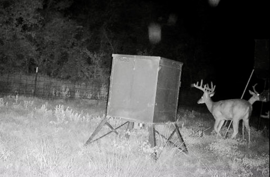
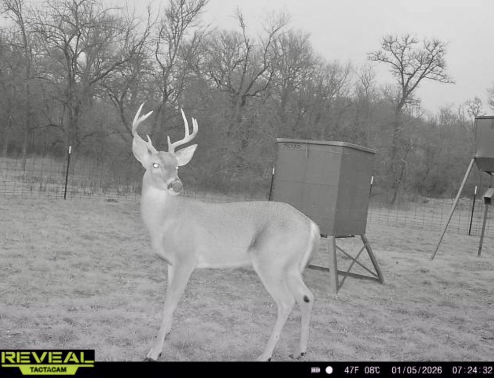
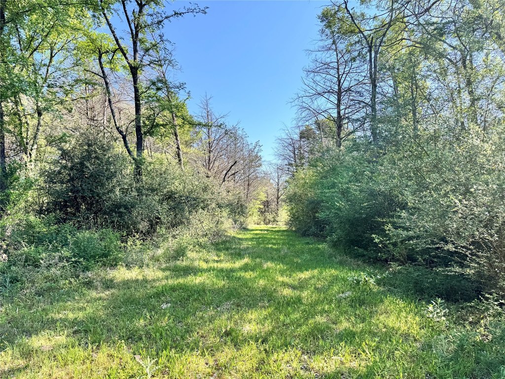
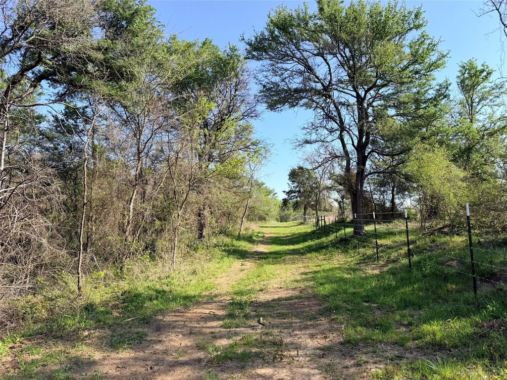
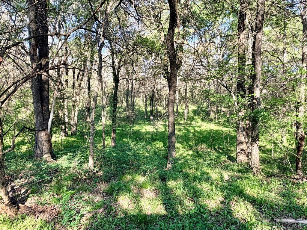
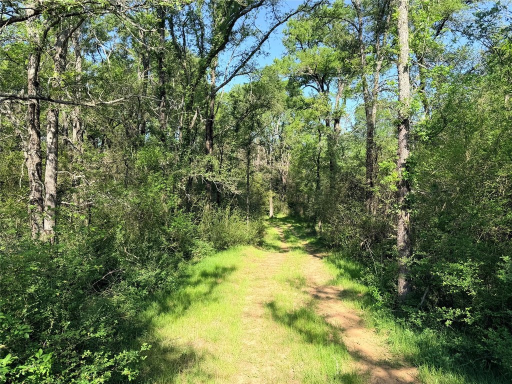
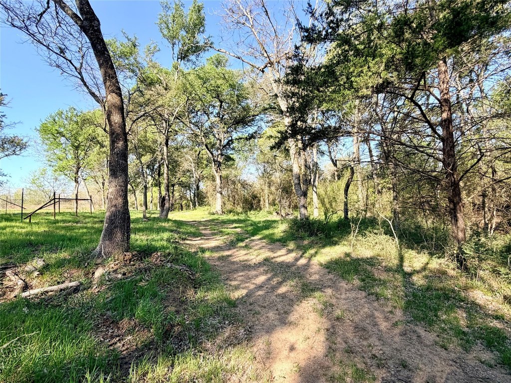
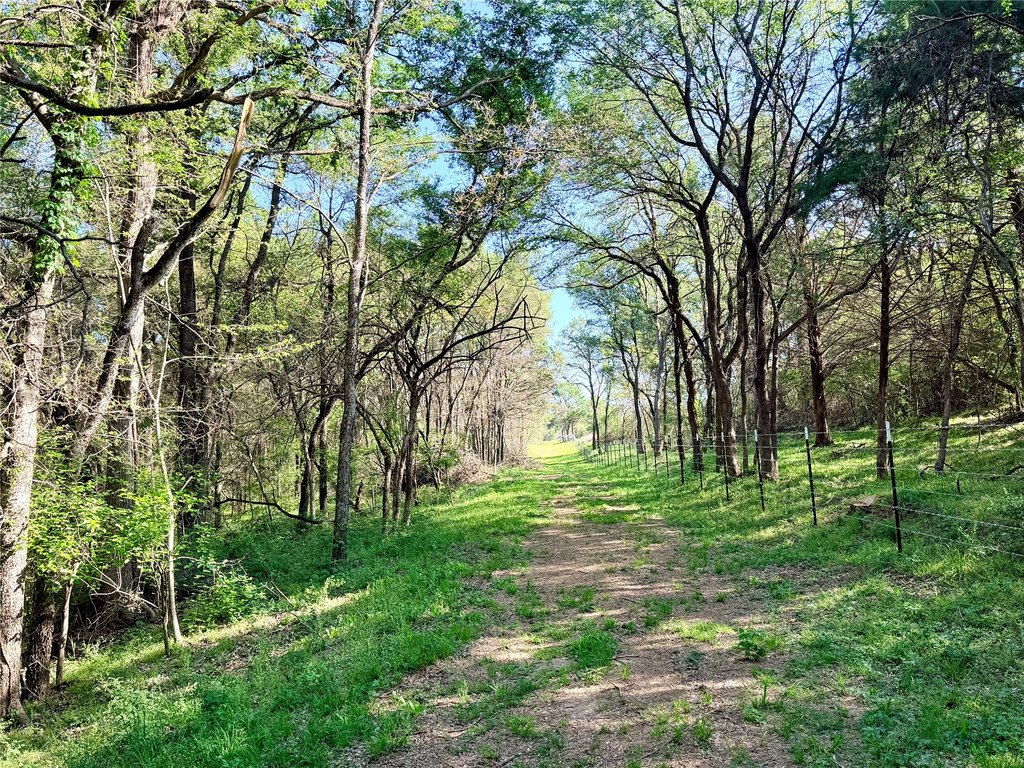
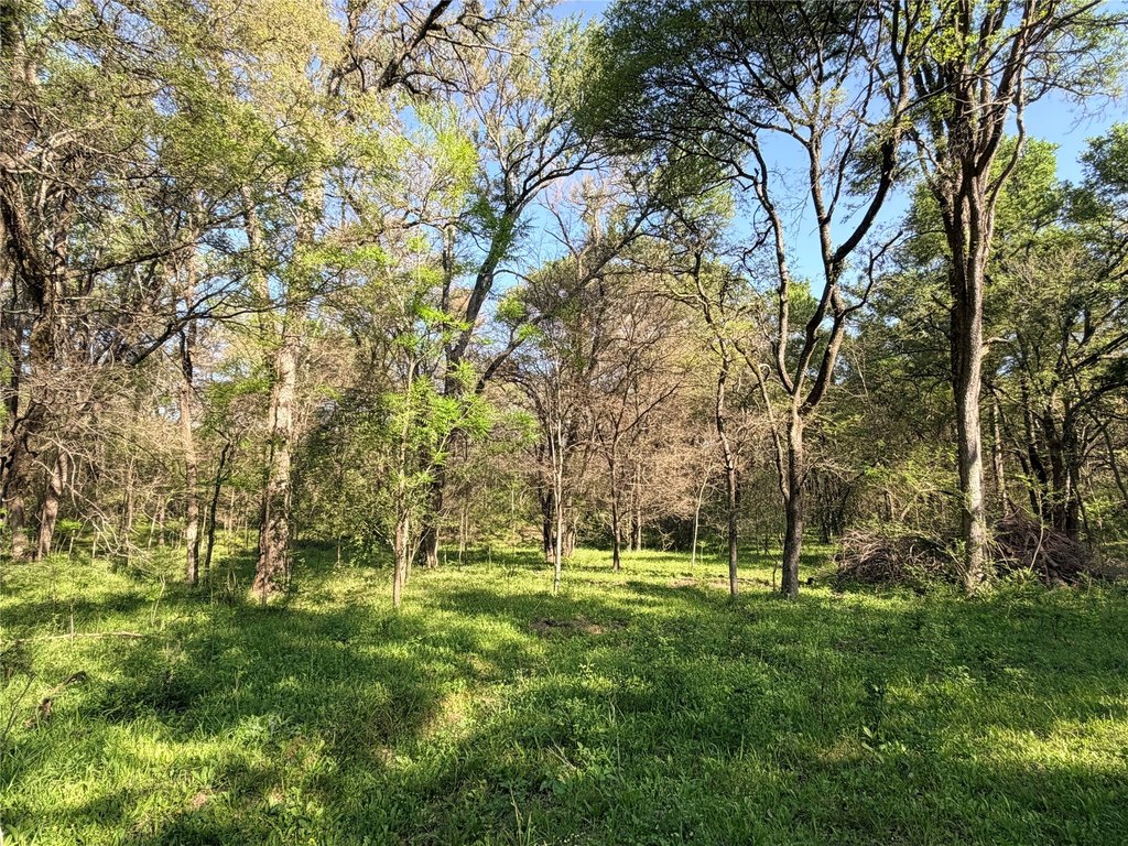
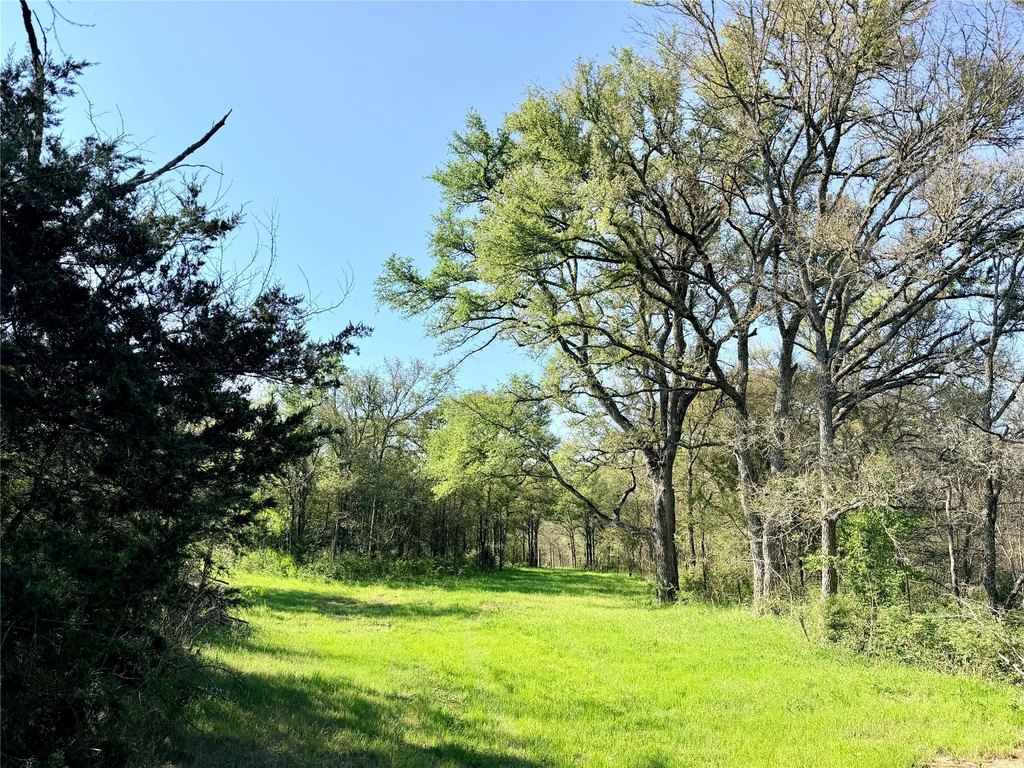
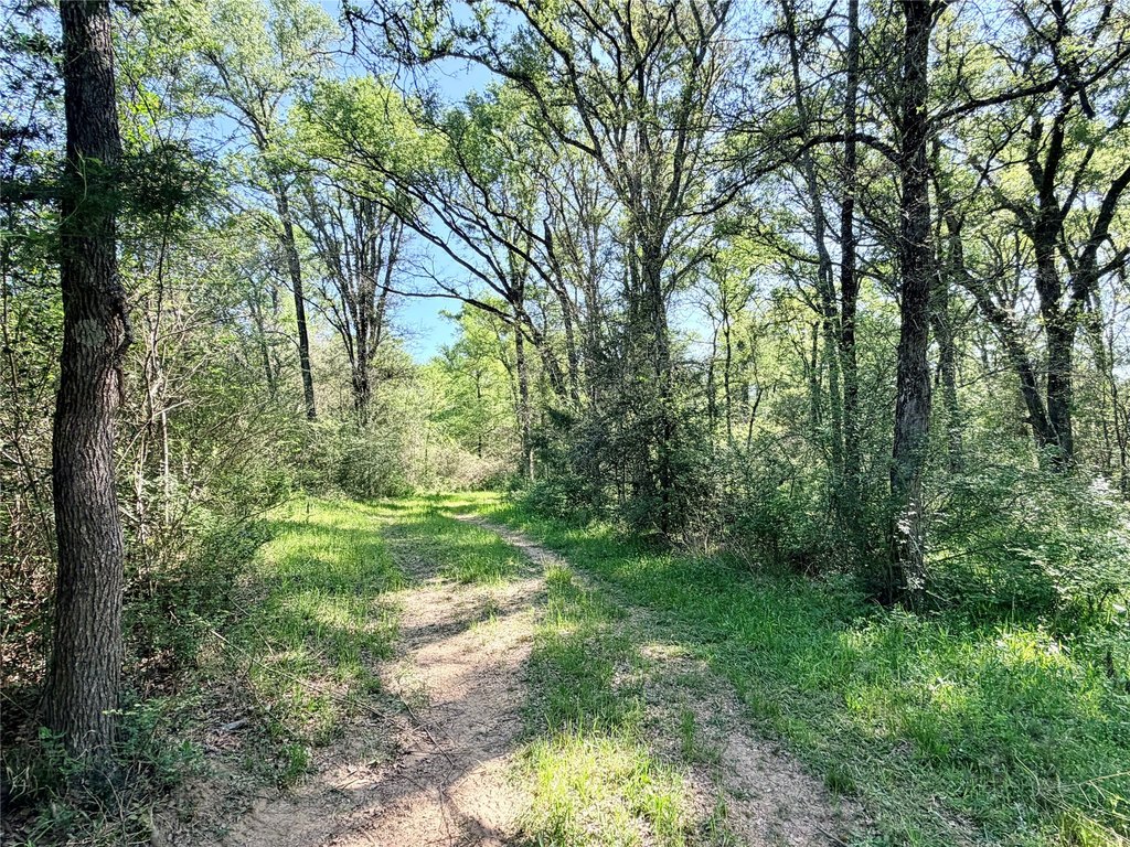
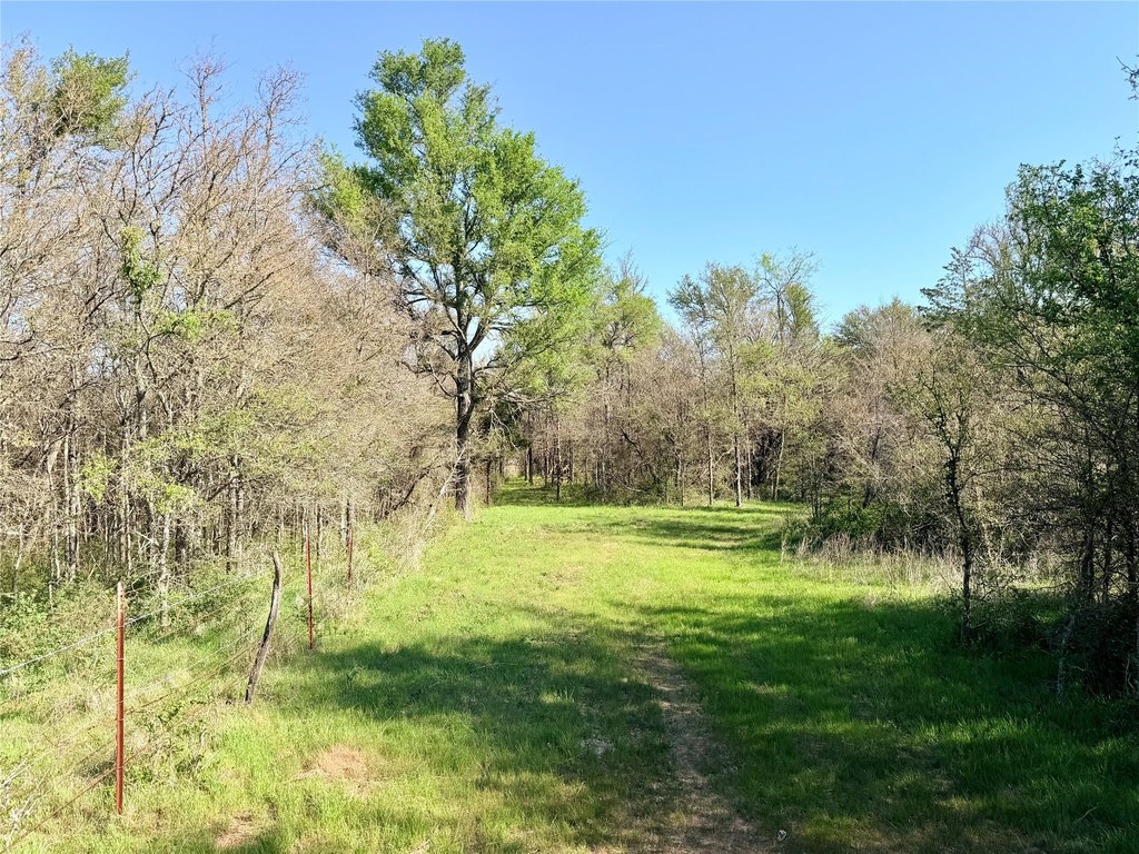
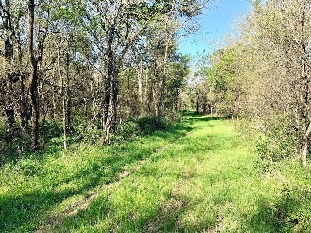
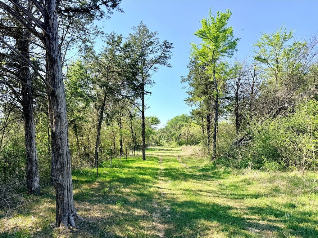
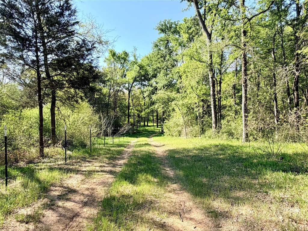
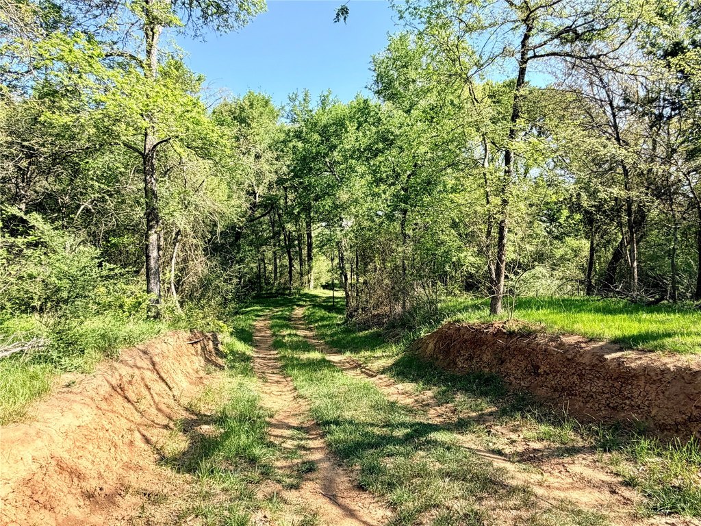
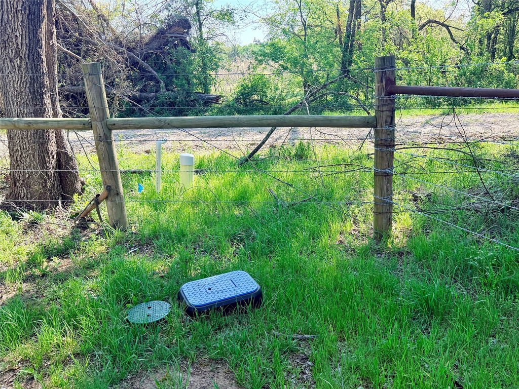
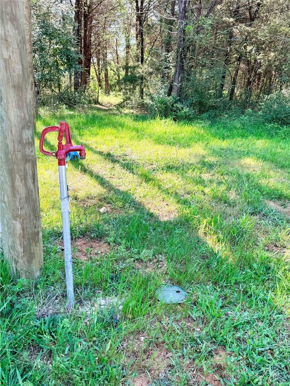
This 213.5-acre ranch in Freestone County is designed for outdoor use and cattle grazing, with a mix of heavy cover and mature hardwoods. The property includes a covered RV site with a fire pit, a shed for storage or processing, and a network of well-maintained trails that run through the woods to clearings and water sources. Water service and a water meter are already installed, and electricity is on-site.
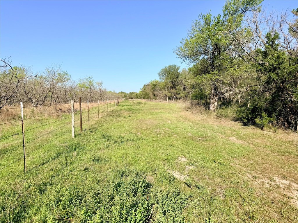
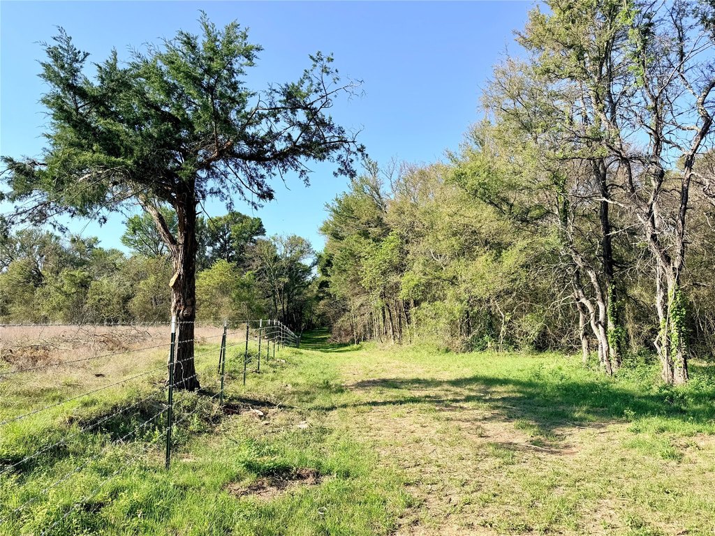
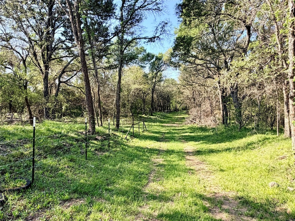
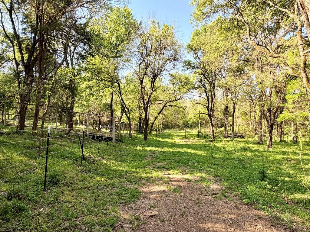
Access is available from two county roads, FCR 984 and FCR 256. The property is anchored by Elm Creek (seasonal) and also features two stock tanks, supporting wildlife habitat. The boundary is fenced for cattle management.
Outdoor recreation and livestock handling are both supported by the ranch layout, including woods, creek bottoms, and established water improvements.
Key Highlights
- 213.5‑acre Freestone County property northeast of Mexia with rugged woodland and creek bottoms
- Dual access via FCR 984 and FCR 256
- Utilities in place: water meter and service installed, with electricity on‑site
Property Analytics
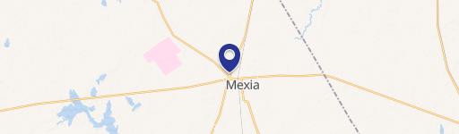
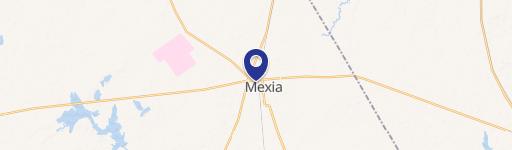
Location Intelligence
Current Use by Public Records
Hunting land
Similar For Sale Nearby


FAQs
What type of property is this?
Hunting land - 213.5-acre Freestone County ranch offers established water and electricity, fenced cattle boundary, trails, and seasonal Elm Creek.
Where is this hunting land located?
The property is located at TBD 213.5 acs FCR 984 Mexia, TX.
What is the asking price?
The asking price for this property is $1,665,300.
What are key features of this property?
This property features: 213.5‑acre Freestone County property northeast of Mexia with rugged woodland and creek bottoms; Dual access via FCR 984 and FCR 256; Utilities in place: water meter and service installed, with electricity on‑site


