N Mlk Jr Highway, Mexia, TX 76667
- Added:
- May 26, 2026
- Days on Market:
- 10
- Last Refresh:
- Jun 4 at 9:06 am
Property Features for N Mlk Jr Highway
General Information
- Property type
- Land
- Property subtype
- Other
- Vegetation
- Brush
- Standard status
- Pending
- APN
- R14865
- Lot size
- 1.29 Acres
Taxes and HOA fees
- Tax Description
- HIGHWAY 14 NORTH ADDITION MEXIA, ACRES 1.38
- Tax Annual Amount
- 242
Utilities
- Sewer type
- Public Sewer
- Water source
- Public
Listing agent Stephen Shannon License #0565775 (318) 347-3332
Listing office Goodfire Realty LLC Shreveport, TX (817) 904-3423
Listing date May 26, 2026
Copyright © 2026 North Texas Real Estate Information Systems, Inc. All rights reserved. All information provided by the listing agent/broker is deemed reliable but is not guaranteed and should be independently verified.
HighLights
- 1.29‑acre commercial lot on N. Martin Luther King Jr. Hwy (State Hwy 14) in Mexia, TX, with 402 ft depth and 140 ft of highway frontage
- Flat rectangular lot with city water and public sewer available (City of Mexia) and power available (Oncor)
- Partially within a flood zone: approx. 0.5 acres outside floodplain; remainder in the 500‑year flood zone (lowest FEMA risk classification)
- Located within the Mexia Economic Development Zone and directly across from Mexia Industrial Park
- No HOA; warranted title with survey available; conveyed by warranty deed; no liens or back taxes
- Taxes: $241.55 annually; 2 miles to Downtown Mexia; 45 minutes to Waco; 85 miles to Dallas
Overview
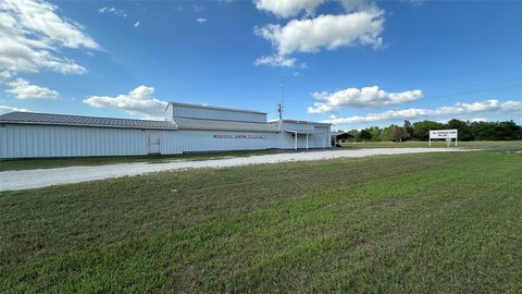
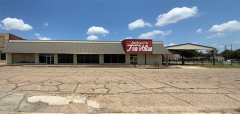
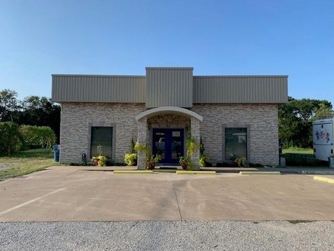
The land fronts N. Martin Luther King Jr. Hwy (State Hwy 14) in Mexia, Limestone County, and sits within the Mexia Economic Development Zone. It is directly across from Mexia Industrial Park, where Carry-On Trailers and Kioti Tractor assembly are located. Utilities include power available through Oncor, along with city water and sewer available from the City of Mexia.
This is a practical site for investors or owner-users looking for a commercially oriented location with established utility access and straightforward configuration along a major state route. The majority of the parcel is in a 500-year flood zone, which may be a manageable factor depending on development design and intended use.
Current Use by Public Records
Map
- City
- Mexia
- County
- Limestone
- State
- Texas
- Longitude
- -96.48696273
- Latitude
- 31.69667533