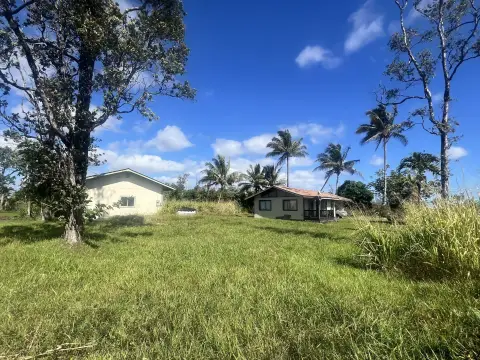
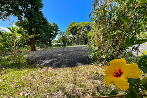
Wooded Residential
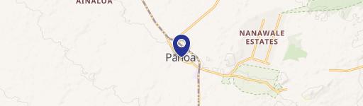
MAUNA KEA RD Pahoa, HI 96778
For Sale
Contact for pricing
LAND - Pahoa, HI
Lot Size0.21 Acres
Days on Market53
Property Features for MAUNA KEA RD
General Information
Property type
Land
Property subtype
Other
Zoning
A-1A
Standard status
Active
APN
3140800400000
Lot size
0.21 Acres
Taxes and HOA fees
Tax Year
2025
Tax Annual Amount
200
Utilities
Utilities
Electricity Available
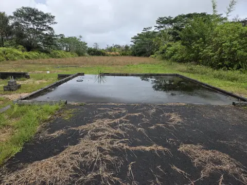
Sewer type
Septic Tank
Listing Agency:
Savio Realty Ltd. - Puna Office
(808) 965-9500
Listed By:
C. Kapono Pa
(808) 217-0777
Added: Jun 5
Last Checked: Jul 27 at 5:06PM
MLS# 730905
Copyright © 2026 Hawaii Information Service. All rights reserved. All information provided by the listing agent/broker is deemed reliable but is not guaranteed and should be independently verified.
Investment Insights
Based on property information with market context.
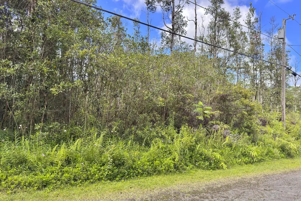
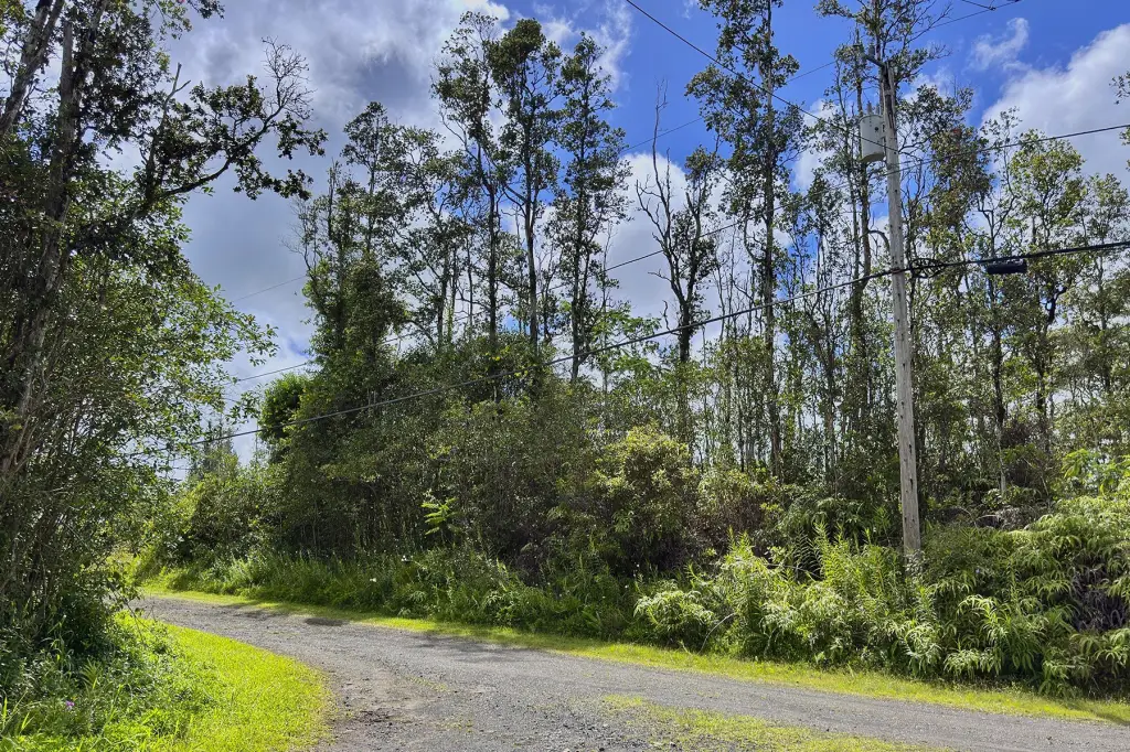
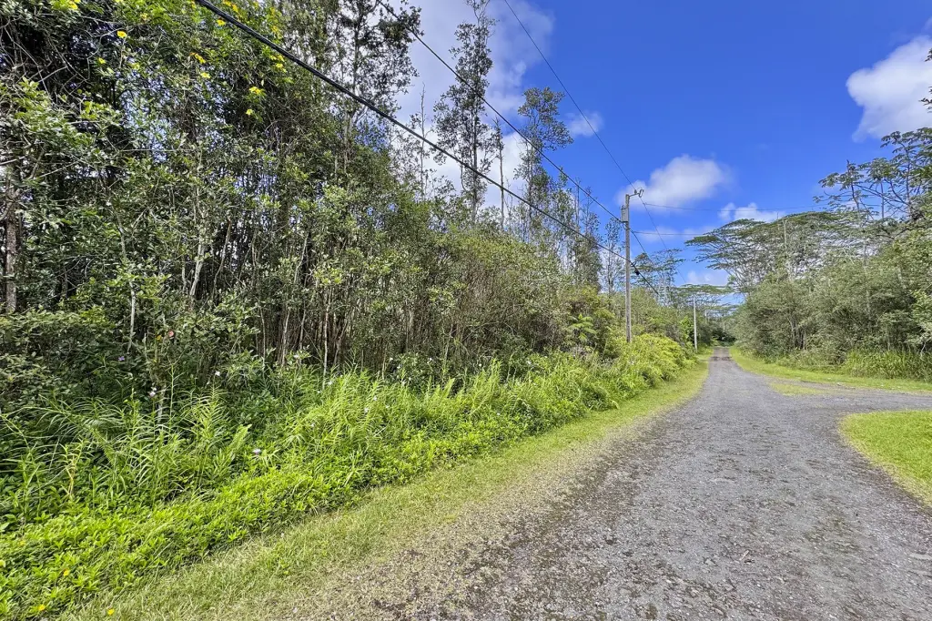
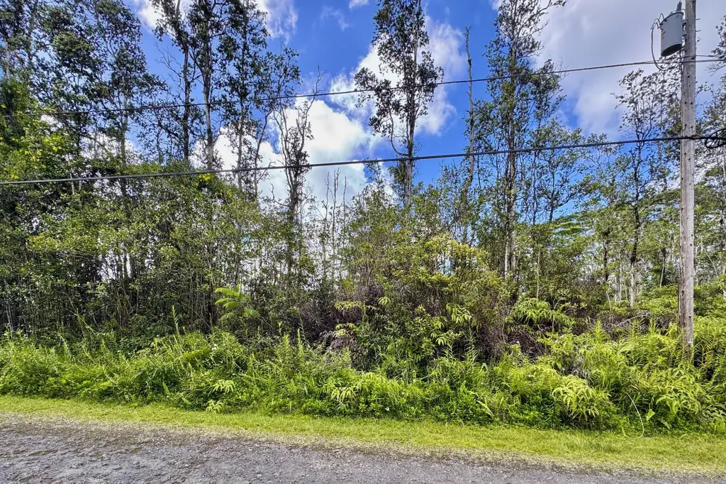
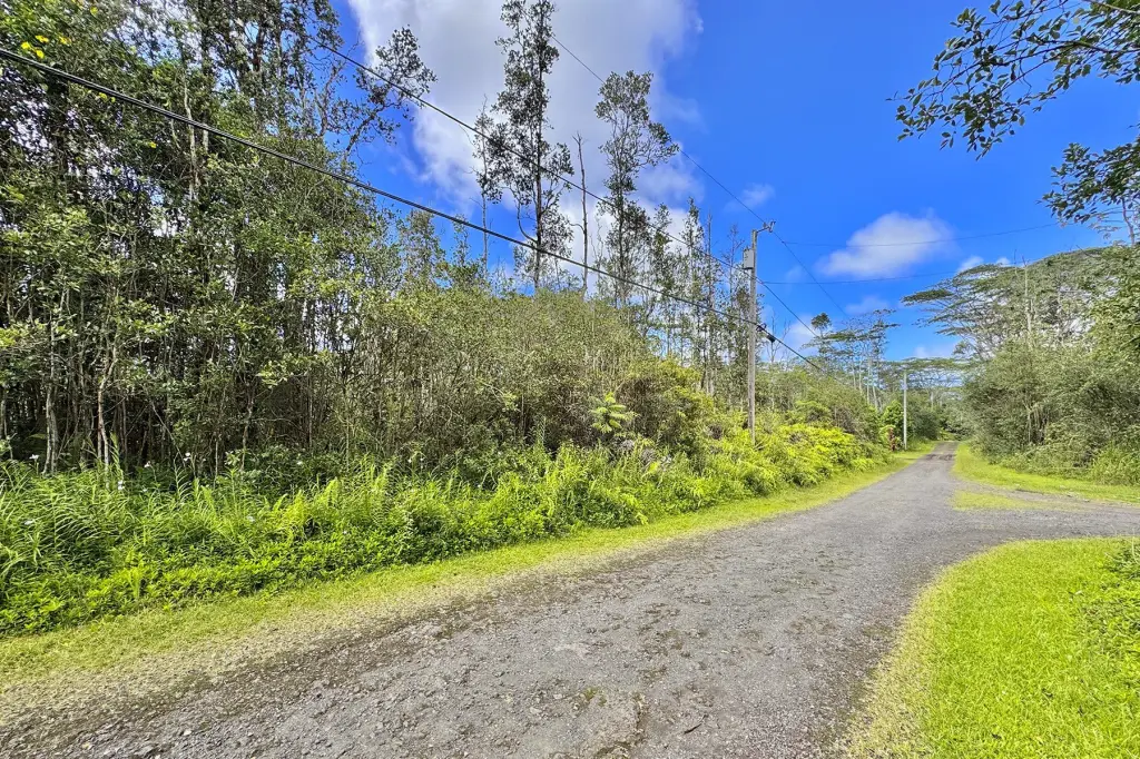
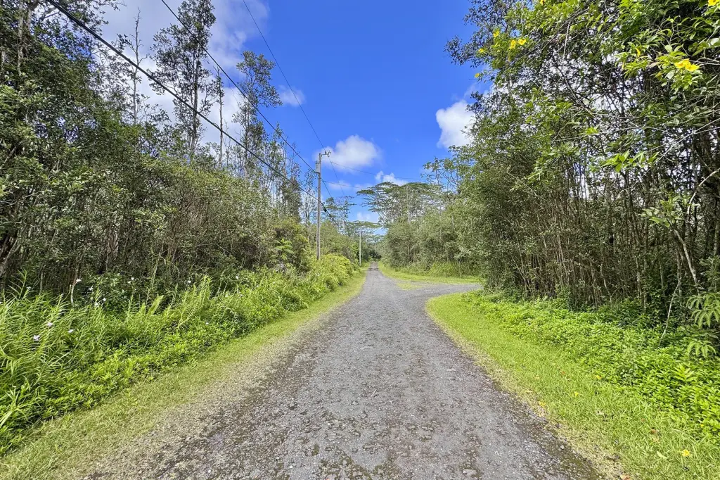
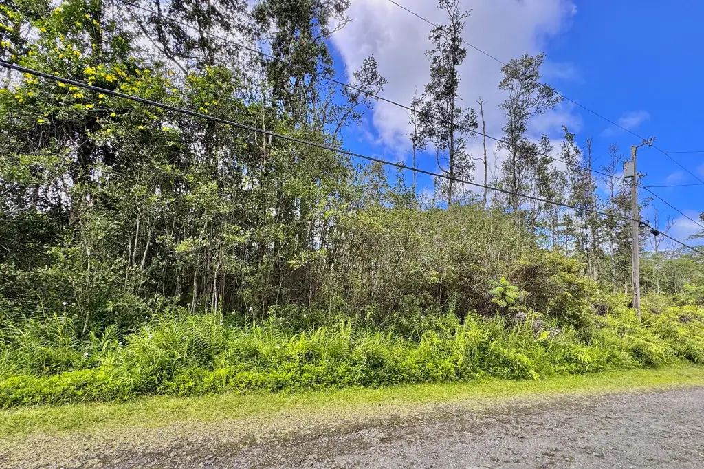
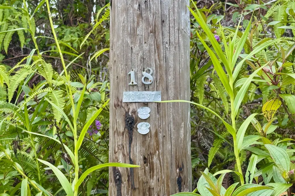
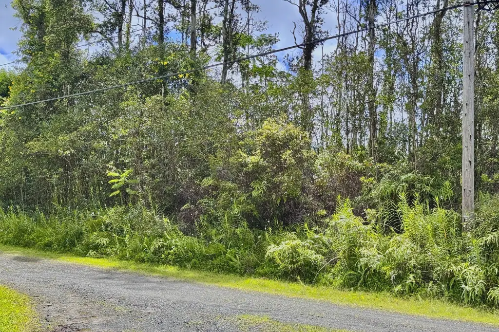
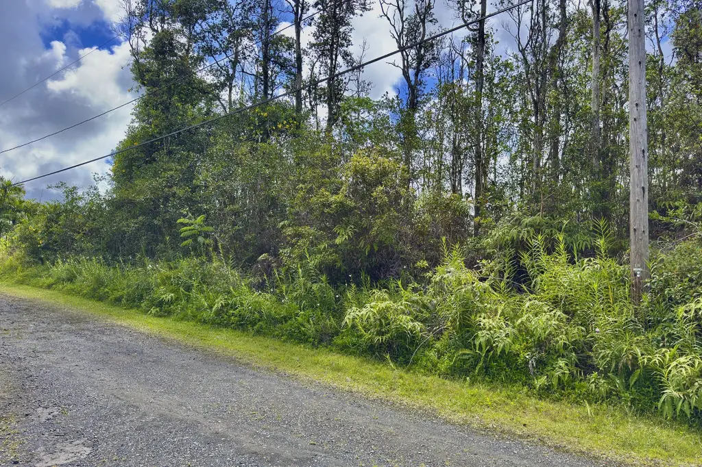
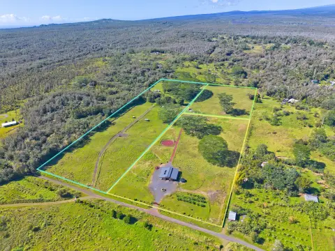
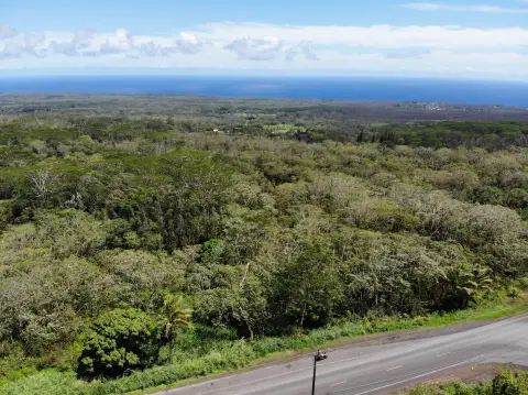
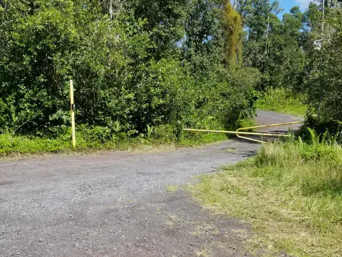
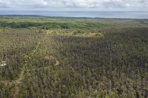
This offering is a slightly oversized wooded residential lot in Nanawale Estates. The parcel is approximately 60 feet wide along Mauna Kea Rd. and about 150 feet deep, based on county real property tax maps. The property backs up to large, privately owned acreage, which helps reduce the chance of a neighbor directly behind the lot. Zoning is listed as A-1A. Per Hawaiian Electric, power is available to the property with no SSPP fees; the nearest pole is identified as Pole #18, and the buyer and buyer’s agent are instructed to confirm with the electric utility. Annual association dues are estimated to be $124 and may change in the future. Buyer and Buyer's agent should also confirm exact location and area through a licensed surveyor, as the seller will not pay for staking or surveying.
The lot is described as near the intersection of Mauna Kea Rd. and Paradise Rd. in Nanawale Estates. The remarks indicate an approximate 45-minute drive to Hilo and about 10 minutes to Pahoa Village under normal conditions.
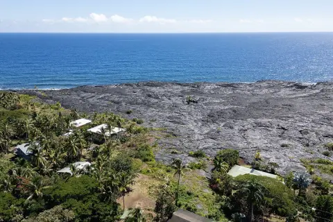
For buyers seeking a residential building site, this parcel offers road frontage and wooded surroundings, along with backup acreage owned privately by others. It is located in Lava Hazard Zone 2 and Flood Zone X, so prospective buyers may want to review applicable development considerations before proceeding with design and permitting.
The lot is described as near the intersection of Mauna Kea Rd. and Paradise Rd. in Nanawale Estates. The remarks indicate an approximate 45-minute drive to Hilo and about 10 minutes to Pahoa Village under normal conditions.
For buyers seeking a residential building site, this parcel offers road frontage and wooded surroundings, along with backup acreage owned privately by others. It is located in Lava Hazard Zone 2 and Flood Zone X, so prospective buyers may want to review applicable development considerations before proceeding with design and permitting.
Key Highlights
- Slightly oversized 9,000 SF lot in Nanawale Estates
- Approximately 60 ft of frontage along Mauna Kea Rd. and 150 ft deep per county real property tax maps
- Utilities: electricity available; sewer via septic tank
Property Analytics
Property Profile
Location Intelligence
Current Use

Frequently Asked Questions
What type of property is this?
Residential land & home lot - Wooded lot in Nanawale Estates with power available nearby and frontage on Mauna Kea Rd.
Where is this residential land & home lot located?
The property is located at MAUNA KEA RD Pahoa, HI.
What is the asking price?
The asking price for this property is Off market.
What are key features of this property?
This property features: Slightly oversized 9,000 SF lot in Nanawale Estates; Approximately 60 ft of frontage along Mauna Kea Rd. and 150 ft deep per county real property tax maps; Utilities: electricity available; sewer via septic tank


